From challenging climbs to scenic routes, Duntocher offers a diverse and enjoyable cycling experience.
Cycling routes from Duntocher
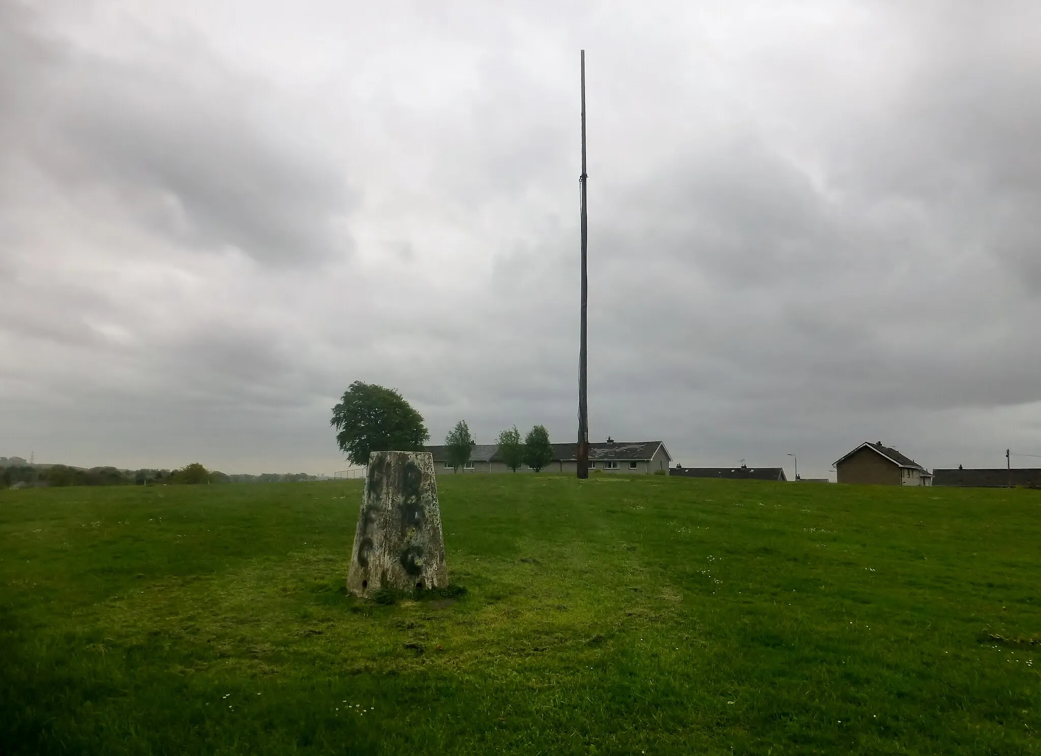
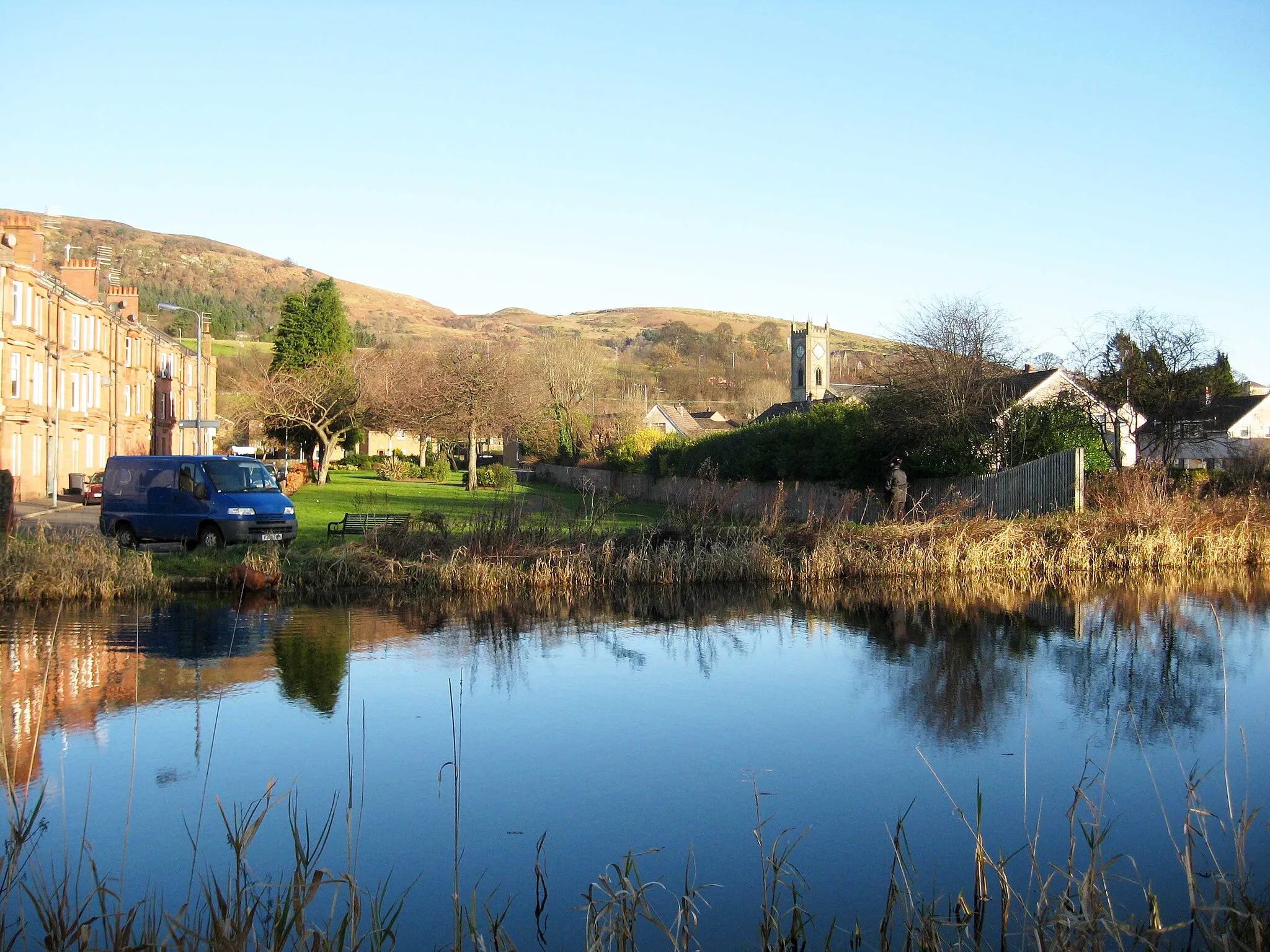
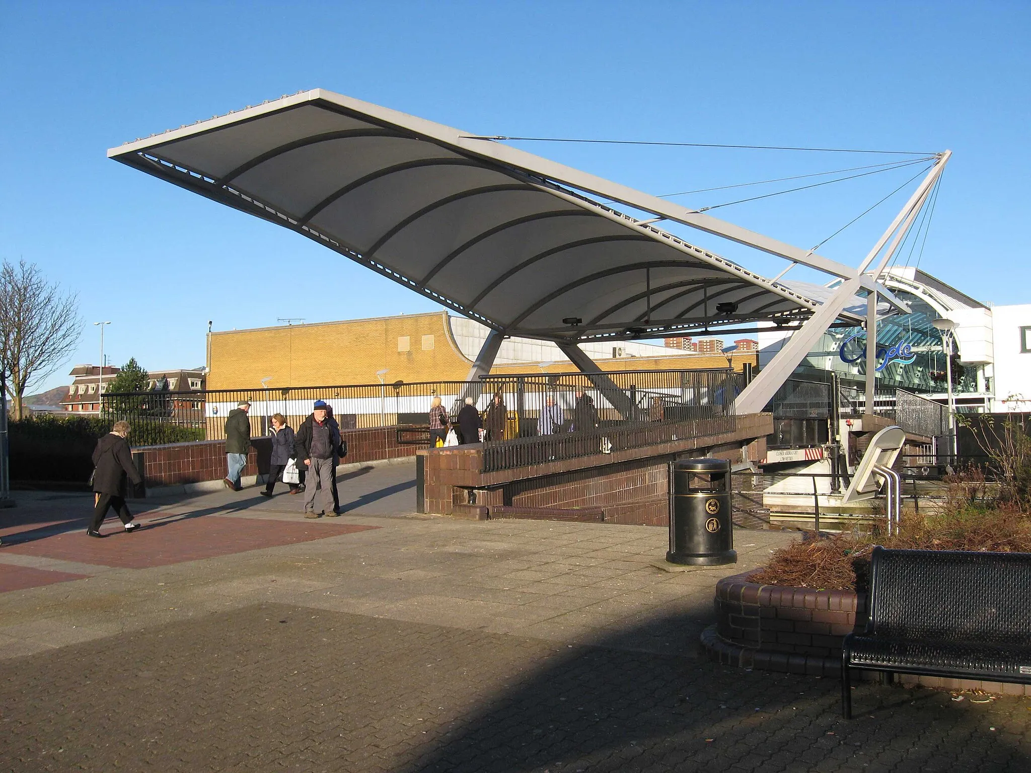
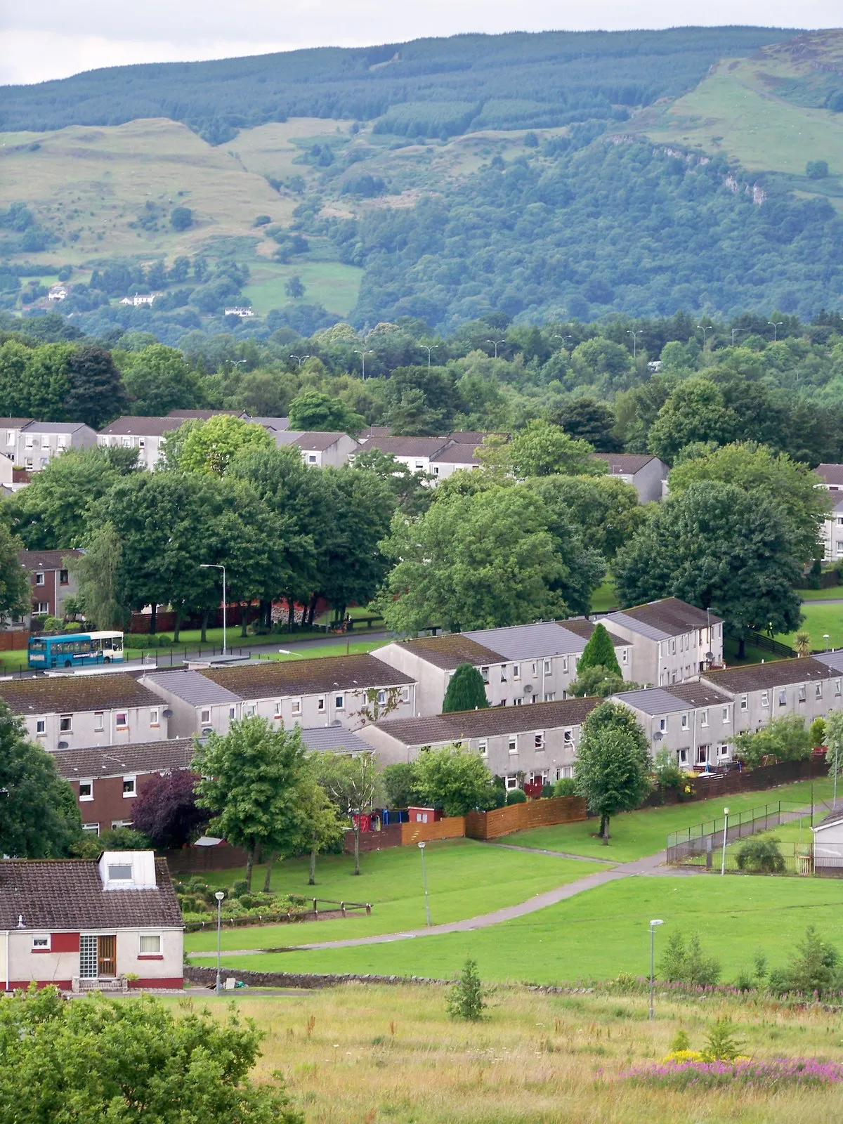
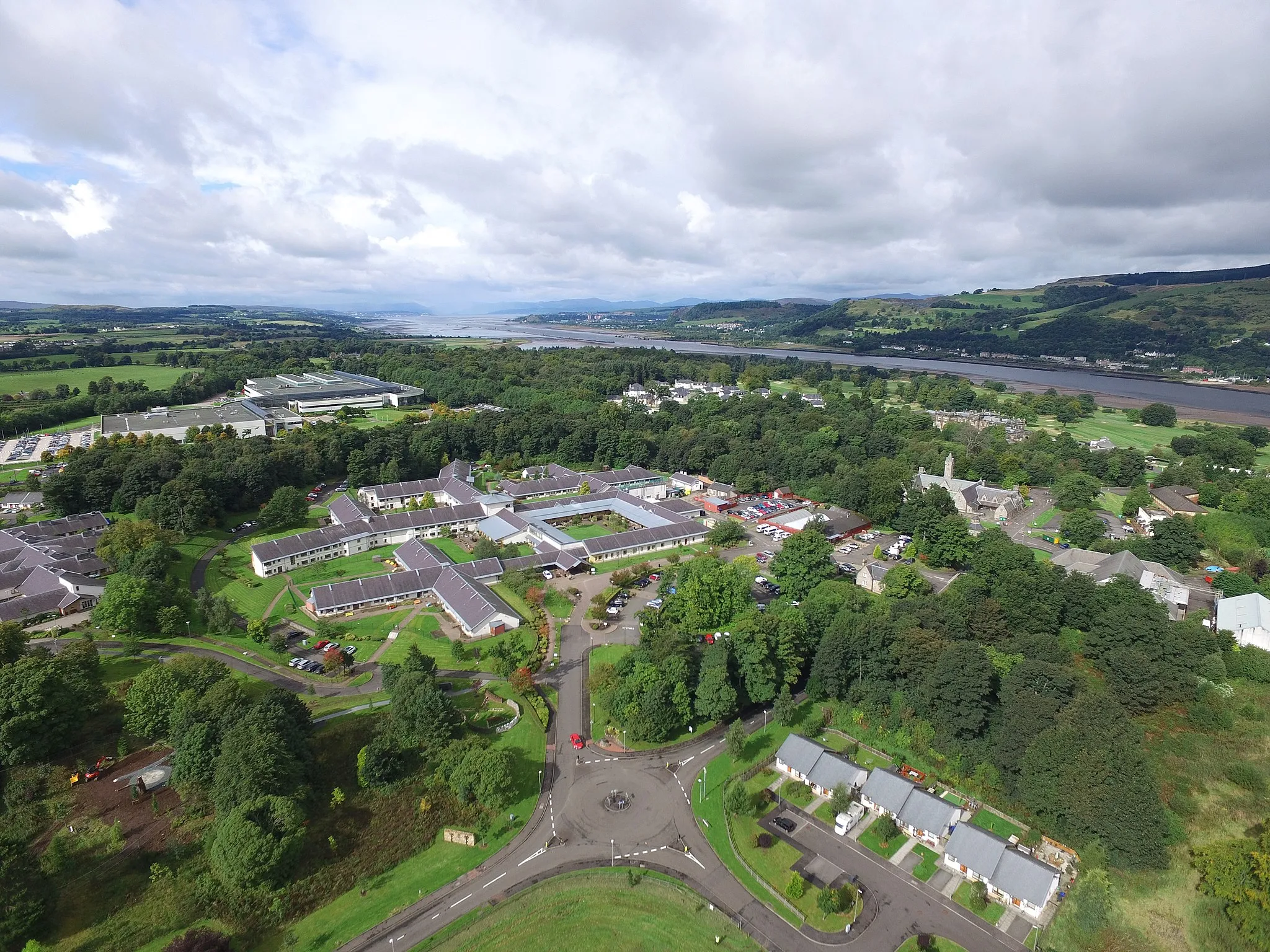
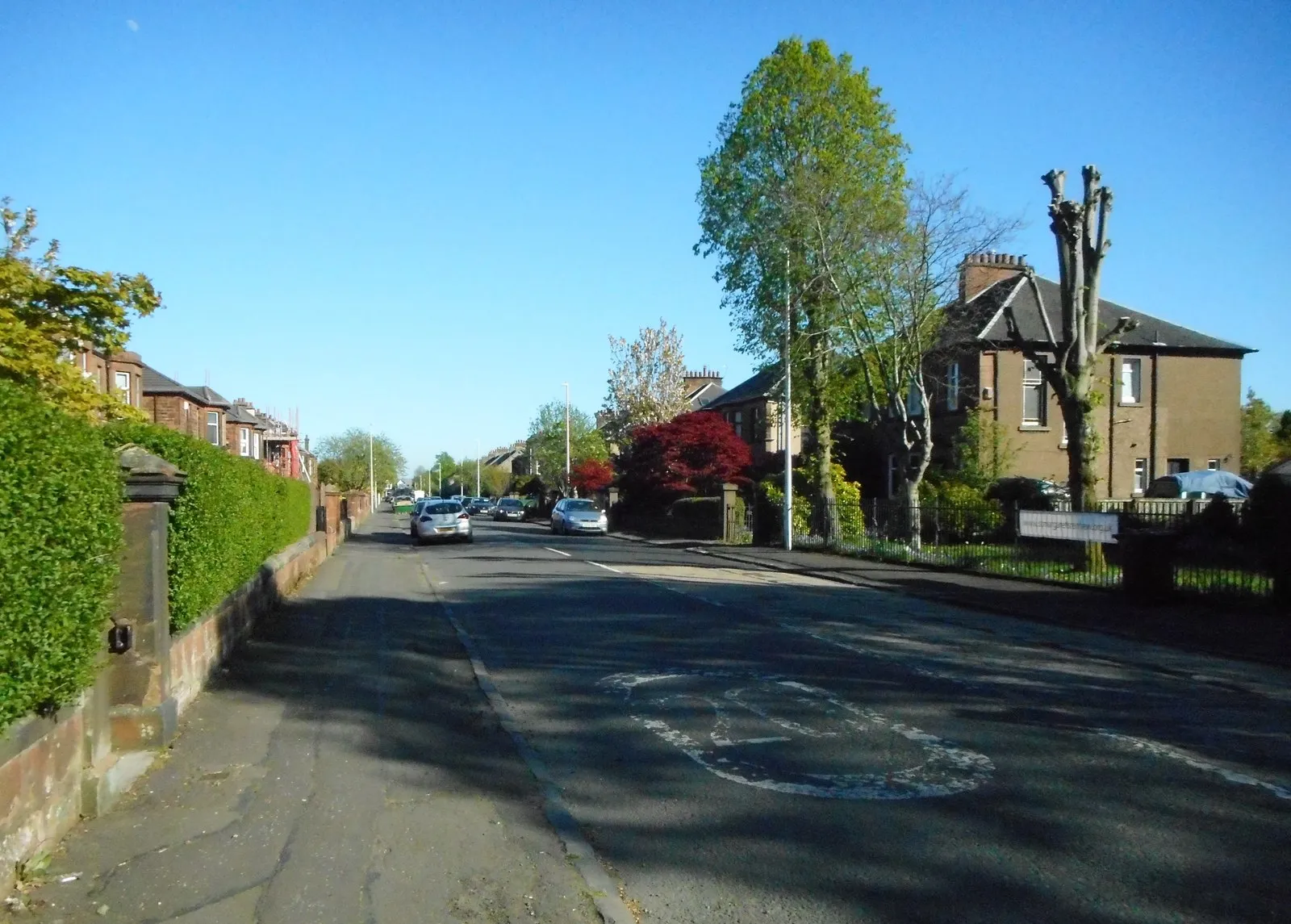
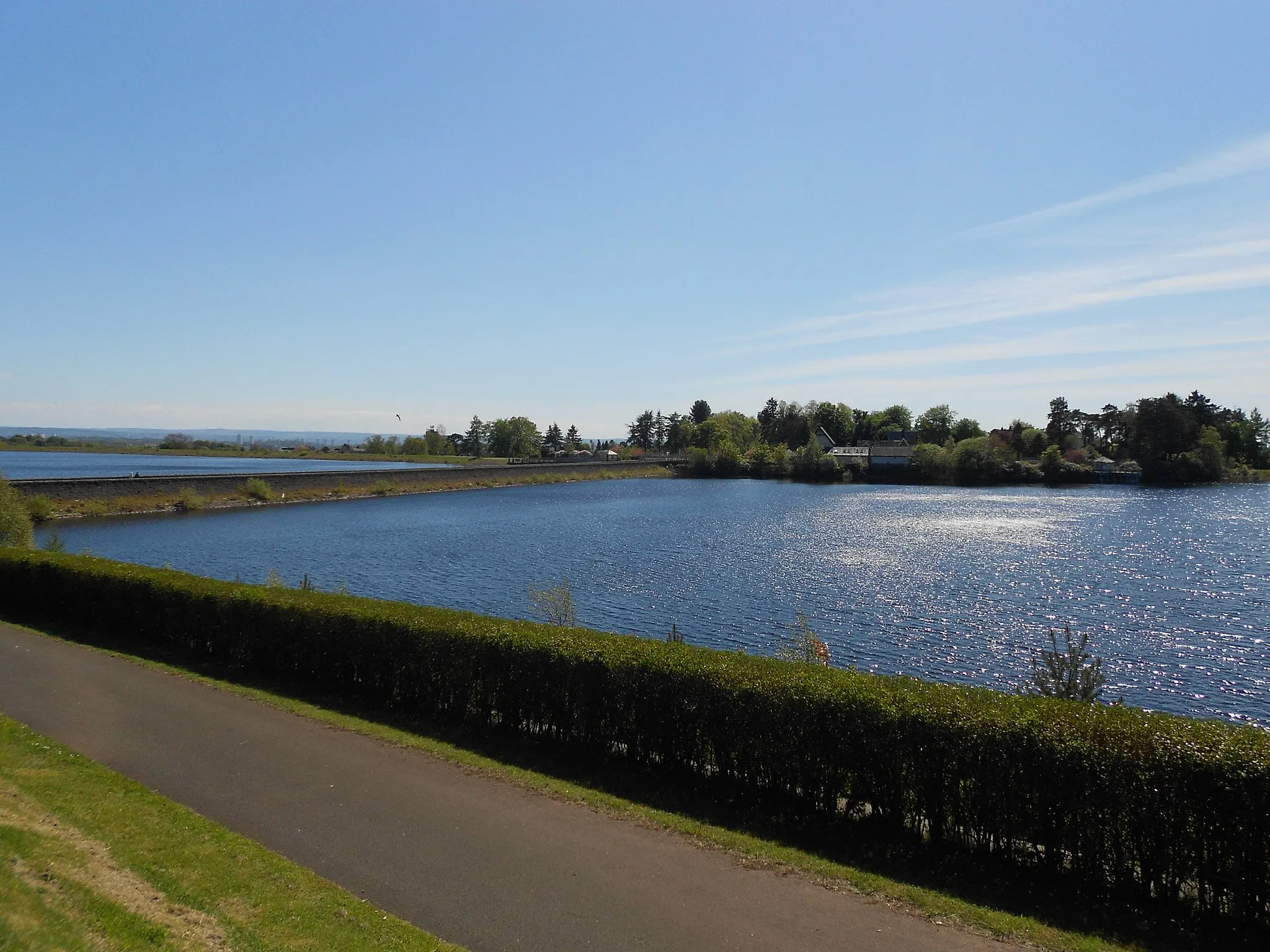
Duntocher is a locality in West Central Scotland, United Kingdom. From a cyclist's perspective, Duntocher offers a mix of challenging climbs and scenic routes. The area is well-known for its proximity to Loch Lomond and The Trossachs National Park, which provides a stunning backdrop for cycling. Cyclists can explore the Scottish countryside and enjoy the beautiful landscapes along the way. Close to Duntocher, there are popular cycling spots such as the Duke’s Pass, Rest and Be Thankful, and Beinn Ime, which attract cyclists from all over the world. With its diverse terrain, Duntocher is a great destination for cycling enthusiasts.
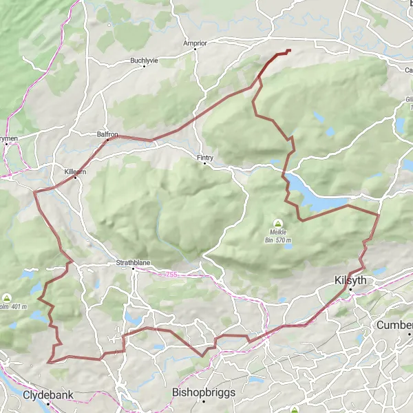
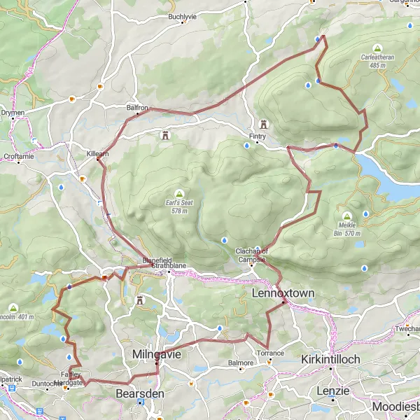
The Big Loop
Embark on a challenging gravel adventure that takes you through some of West Central Scotland's most stunning landscapes.
With a distance of 100 kilometers and a total ascent of 1484 meters, this gravel route offers an epic endurance challenge. Highlights along the route include Faifley, Queen's View, Balfron, Ling Hill, Kilsyth, Bar Hill, Torrance, Bargeny Hill, and Mosshead.
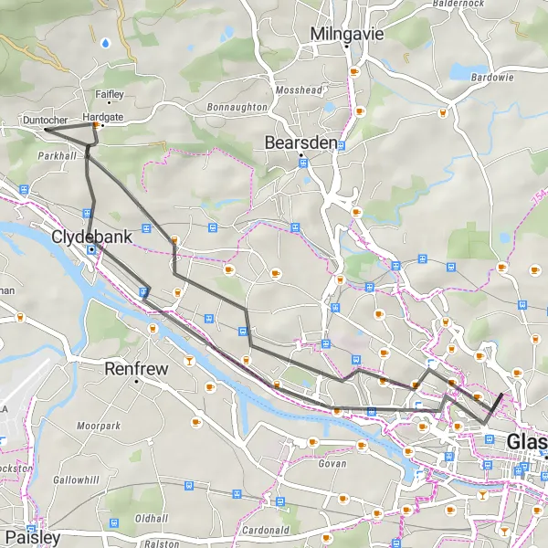
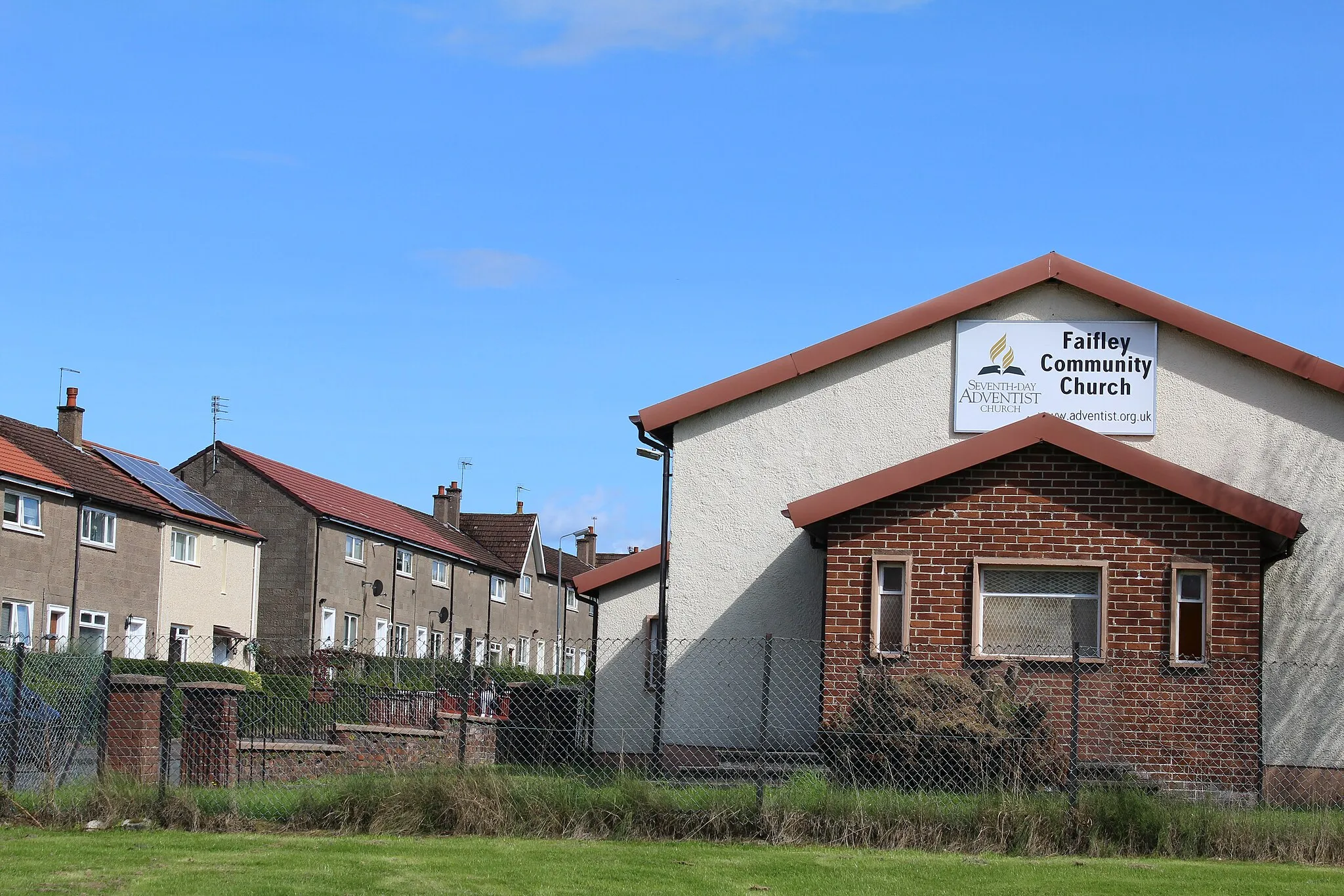
Embark on a short cycling adventure from Clydebank to Faifley in this 29 km route
For a quick and exhilarating cycling adventure, this 29 km road biking route near Duntocher is perfect. Starting in Clydebank, cyclists will journey through Scotstoun before reaching Faifley. Although relatively short, this route offers beautiful urban and rural landscapes. With an ascent of 188 meters, this route is suitable for well-trained amateurs looking for a shorter but rewarding ride. Highlights include Clydebank's historical significance and Faifley's charming surroundings. The mix of urban and rural scenery makes this route an exciting choice for cyclists seeking a quick adventure.
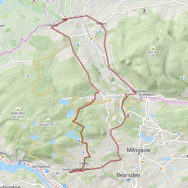
The Faifley Gravel Loop
Explore the scenic countryside around Duntocher on this gravel cycling adventure.
This 49-kilometer gravel route takes you through the picturesque landscapes near Duntocher. With a total ascent of 760 meters, this ride offers a fun and challenging experience. The route passes by Faifley, Queen's View, Glengoyne Distillery, Moot Hill, Craigend Castle, and Baljaffray.
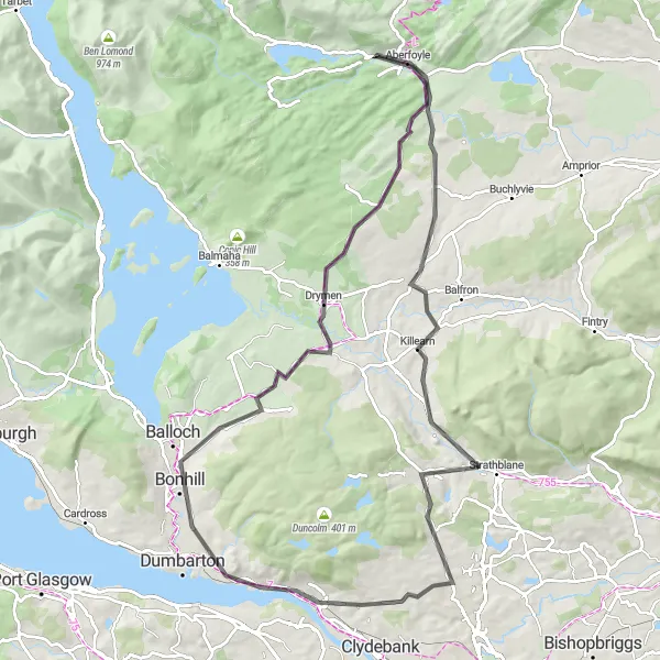
Embark on a majestic journey from Milngavie to Drumry, passing Eaglesham and Govan along the way
This 75 km road biking route near Duntocher offers a majestic journey filled with history and natural beauty. Starting in Milngavie, cyclists will pass through Broom Hill and Cambuslang before reaching their destination at Drumry. With an ascent of 563 meters, this route offers a challenge for well-trained amateurs seeking a grand adventure. Highlights include the historic town of Eaglesham, the vibrant community of Govan, and Drumry's serene surroundings. The mix of historical landmarks, cultural attractions, and natural landscapes make this route a memorable experience for cycling enthusiasts.
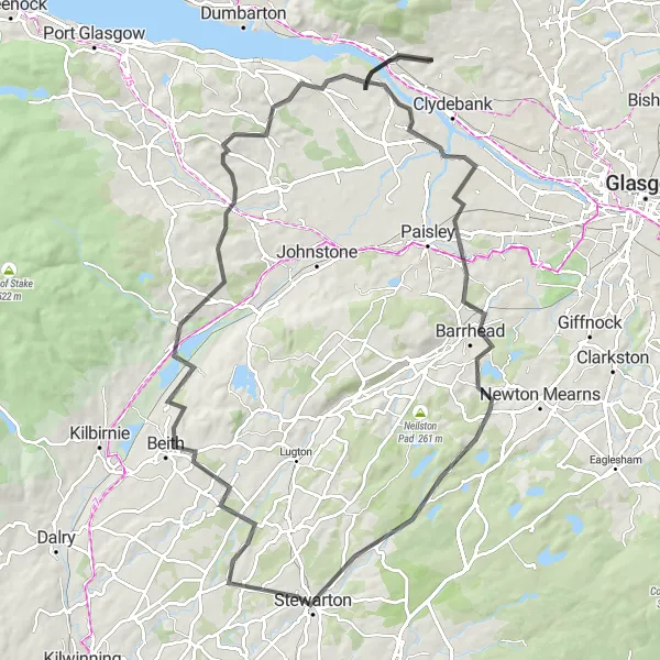
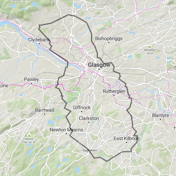
Ride through the scenic countryside near Barrhead and Stewarton in this distinctive loop
This 90 km route offers a picturesque journey through the West Central Scotland countryside. Starting in Duntocher, cyclists can enjoy the beautiful landscapes while passing by highlights such as the historic town of Barrhead, Mearns Law, and Lochwinnoch. With an ascent of 865 meters, this route provides a challenge for well-trained amateurs. The scenic beauty coupled with the moderate difficulty level makes this loop a highly enjoyable experience.
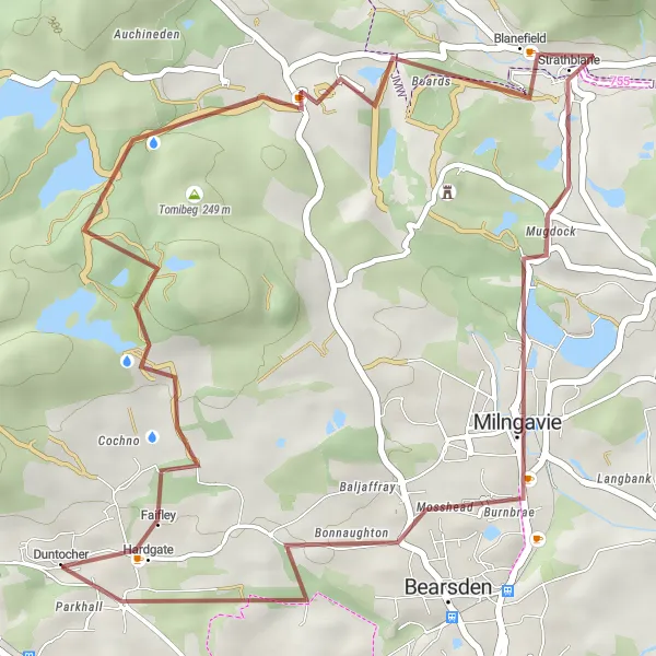
Experience the serenity of the Duntocher region on this gravel cycling loop.
This 35-kilometer gravel route is perfect for a quick and enjoyable cycling adventure near Duntocher. With a total ascent of 607 meters, this ride offers a mixture of challenging climbs and exhilarating descents. The highlights on this route include Faifley, Dunellan, Milngavie, and Drumchapel.
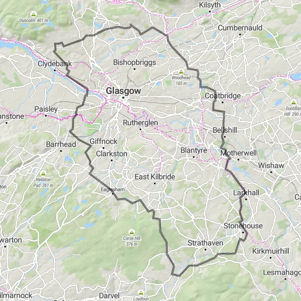
Embark on a challenging road cycling journey towards the scenic village of Milngavie.
This 121-kilometer road route takes you through various terrains and beautiful landscapes. With a total ascent of 1081 meters, this ride is suitable for well-trained amateur cyclists. Along the way, you'll pass by Milngavie, Hearthery Knowe, Bellshill, Larkhall, Greer Hill, Auldhouse, Newton Mearns, Govan, and Faifley.
Embark on an epic gravel adventure to discover the breathtaking Grey Mare's Tail Waterfall.
This 85-kilometer gravel route is perfect for those seeking a challenging and scenic cycling experience near Duntocher. With a total ascent of 1450 meters, this ride offers stunning views and thrilling descents. The highlights on this route include the Grey Mare's Tail Waterfall, Dunellan, Killearn, Cringate Law, Crichton's Cairn, Lennoxtown, Baldernock, and Faifley.
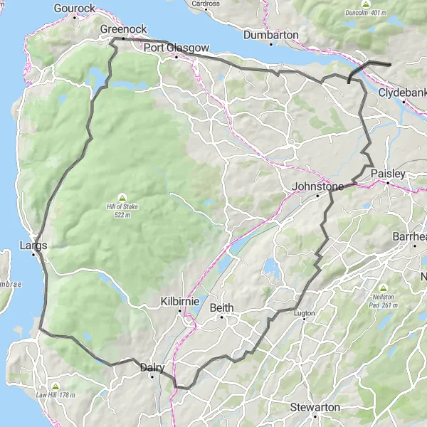
Embark on a challenging ride from Largs to Greenock via Elderslie and Dalry in this 109 km route
For experienced cyclists seeking a challenging ride, this 109 km road biking route near Duntocher is ideal. From picturesque coastal town Largs to the vibrant city of Greenock, this route passes through highlights like Elderslie, Hessilhead, and Glentane Hill. With an ascent of 1251 meters, this route offers a significant challenge for well-trained amateurs. Cyclists can enjoy stunning coastal views, rolling hills, and the welcoming communities along the way. The mix of scenic beauty and a challenging ride makes this route a must-try for cycling enthusiasts.
Embark on a scenic journey past Hill of Dun and Glengoyne Distillery in this intriguing 88 km route
With a mix of natural beauty and cultural landmarks, this road biking route near Duntocher covers 88 km. Cyclists can admire the Hill of Dun, known for its archaeological significance and stunning views. Those interested in whiskey can make a stop at Glengoyne Distillery, where they can learn about the production process and sample some fine Scottish single malt. With an ascent of 891 meters, this route offers a moderate challenge, suitable for well-trained amateurs. The delightful mix of history, culture, and whiskey makes this route a great choice for cycling enthusiasts.
Cycling routes nearby:

Nearby regions: