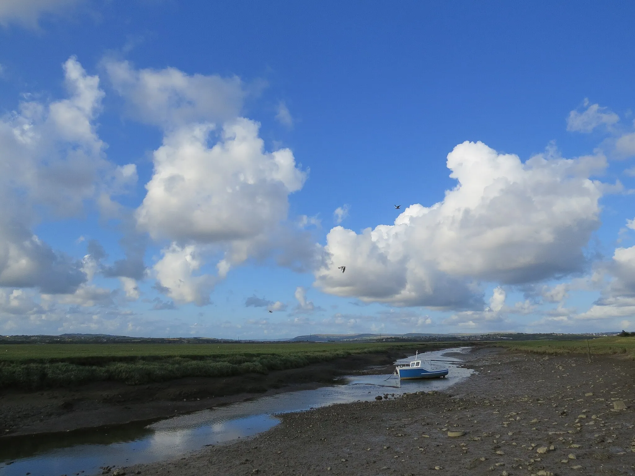
Enjoy scenic coastal rides in Llanelli and explore Millennium Coastal Park.
Cycling routes from Llanelli
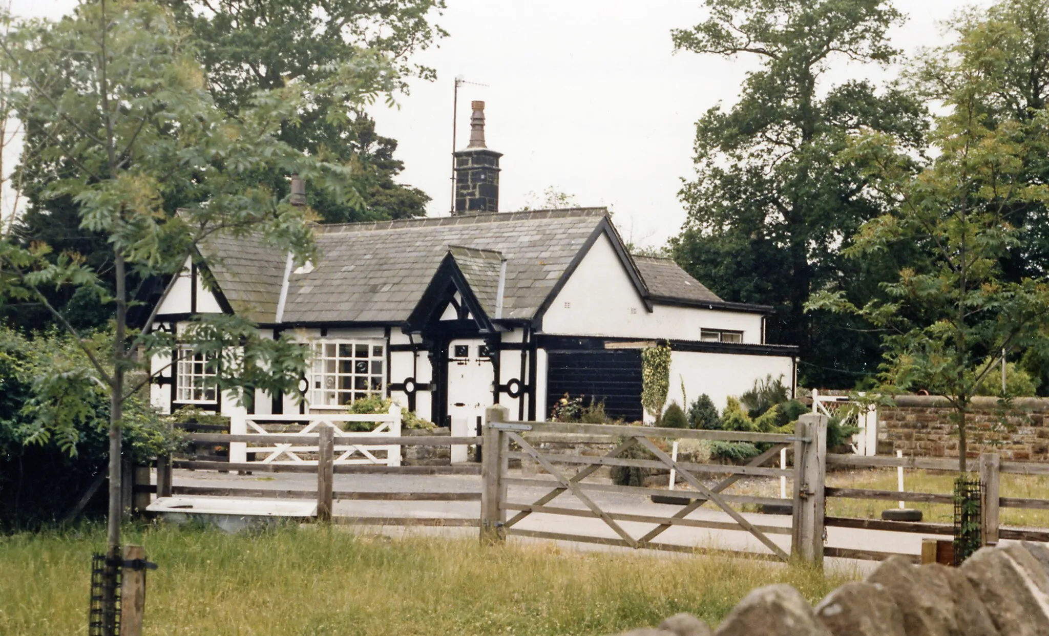
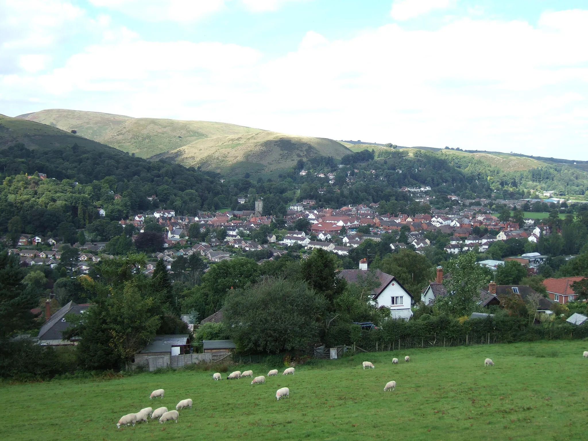
Llanelli is a cyclist-friendly locality located in the West Wales and The Valleys region of the United Kingdom. The area offers a variety of cycling routes, ranging from leisurely coastal paths to challenging road climbs. Llanelli is renowned for its stunning coastline and natural beauty, providing cyclists with scenic views throughout their rides. Millennium Coastal Park is a famous cycling spot near Llanelli, offering a dedicated cycle path running parallel to the coast. With its cycling-friendly amenities and beautiful landscapes, Llanelli offers an excellent experience for cyclists of all levels.
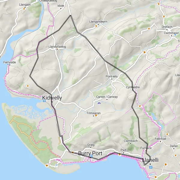
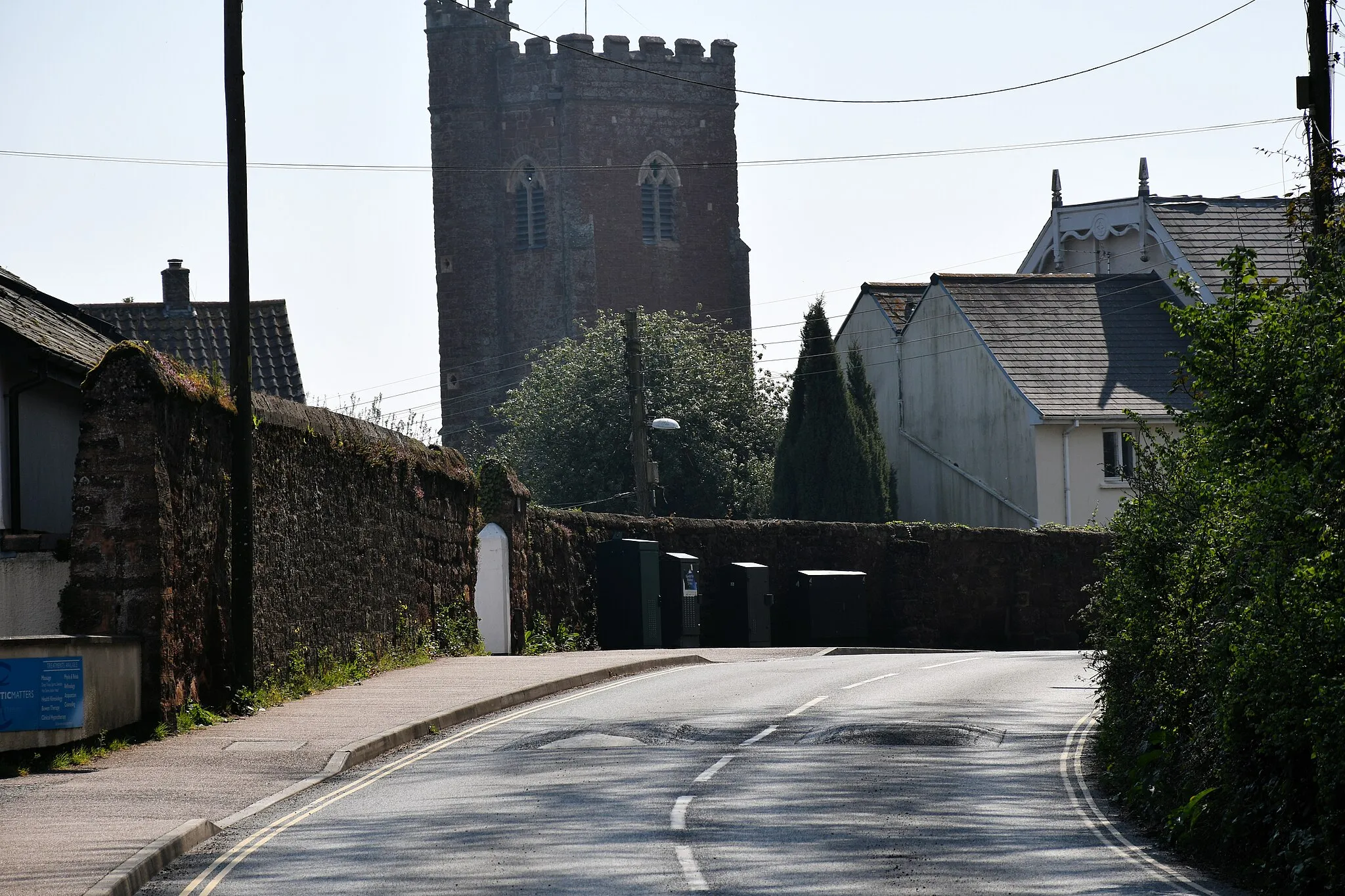
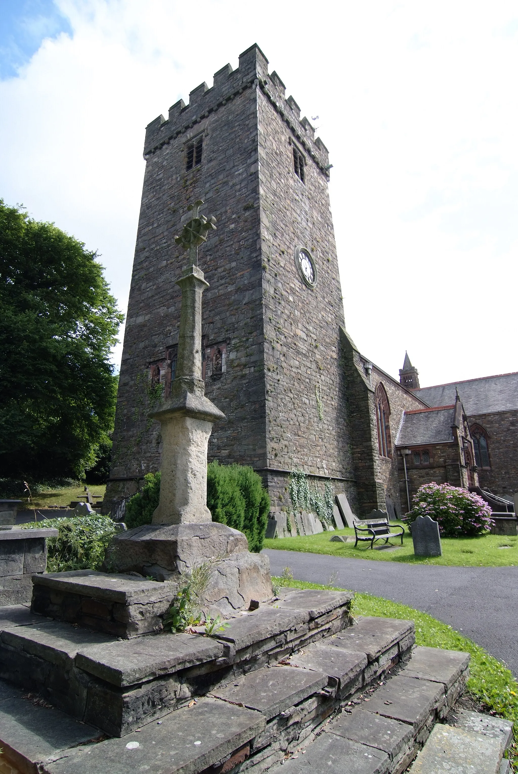
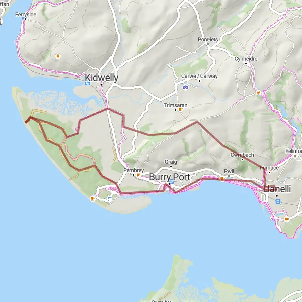
Explore the scenic coastal path to the historic Kidwelly Castle.
This road cycling route takes you along the beautiful coastline of Llanelli, passing through Burry Port and Kidwelly Castle. With a moderate ascent of 604 meters and a distance of 46 kilometers, this route offers a mix of stunning sea views and historical landmarks. Suitable for well-trained amateurs, this ride provides a great balance of challenge and enjoyment.
Embark on a journey through the countryside and enjoy the tranquility of rural Wales.
This road cycling route showcases the peaceful countryside near Llanelli, taking you through Five Roads, Nantgaredig, Llanfynydd, Bird Hide, and Llangennech. With a challenging ascent of 1583 meters and covering a distance of 94 kilometers, this route is ideal for experienced riders seeking a mix of picturesque landscapes and quiet country roads. The route is marked by breathtaking views, from rolling hills to hidden birdwatching spots.
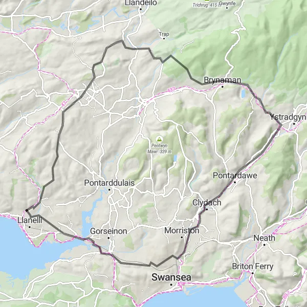
Embark on a challenging adventure along the Loughor estuary
The Loughor Challenge is a demanding road cycling route that showcases the beauty of the Loughor estuary near Llanelli. With a total ascent of 910m and a distance of 86km, this route is suitable for experienced cyclists looking for a thrilling challenge. Start your journey in Gorslas (15km) and admire the picturesque surroundings. Cycle through Derwydd (25km) and grasp the natural grandeur of the area. Explore Cwmllynfell (42km) and Pontardawe (54km) before reaching Loughor (78km), where you can enjoy stunning views of the estuary. Finish your adventure in Llanelli (85km), completing a challenging yet rewarding journey.
Gorslas Loop
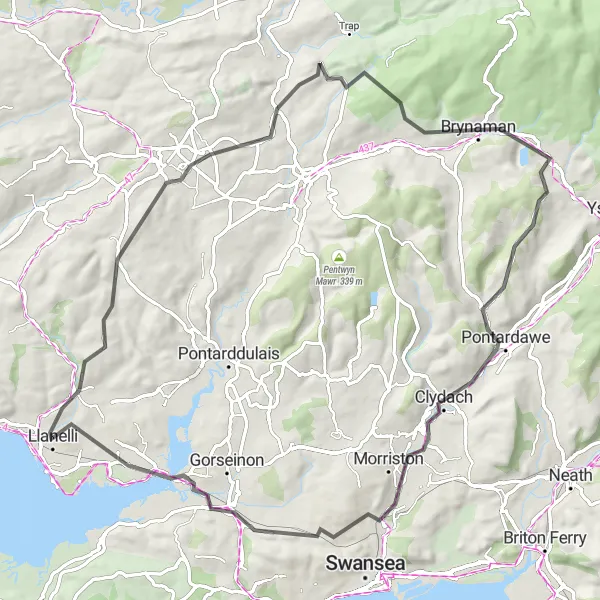
Discover the beautiful countryside of Gorslas
The Gorslas Loop is a challenging round-trip cycling route starting near Llanelli. With a total ascent of 1068m and a distance of 82km, this road route is perfect for experienced cyclists looking for a good workout. Explore the picturesque village of Gorslas, located at the 16km mark, and enjoy its scenic surroundings. Other highlights along the way include Cwmllynfell (40km), Pontardawe (50km), Loughor (74km), and Bigyn (81km). The Gorslas Loop is a physically demanding route that offers stunning views and a variety of terrain.
Ammanford Loop
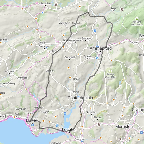
Enjoy a scenic ride through Ammanford and its surrounding areas
The Ammanford Loop is a road cycling route that takes you through beautiful countryside near Llanelli. With a total ascent of 732m and a distance of 61km, this route is suitable for intermediate-level cyclists. Explore the village of Llannon (9km) before heading towards Gorslas (16km), known for its charming landscapes. Cycle through Ammanford (35km) and admire the town's rich history and architecture. Enjoy the scenic views as you pass through Gorseinon (50km) before returning to Llanelli. This route offers a combination of historic sites and picturesque landscapes, providing a delightful cycling experience.
Off-Road Adventure to Cwmbach
Embark on a thrilling gravel ride to Cwmbach and enjoy the beautiful countryside.
This gravel cycling route takes you off the beaten path to discover the scenic trails near Llanelli. With a moderate ascent of 227 meters and covering a distance of 39 kilometers, this off-road adventure offers a mix of challenging terrain and beautiful scenery. Gravel bike enthusiasts will appreciate the variety of landscapes, from open fields to dense wooded areas.
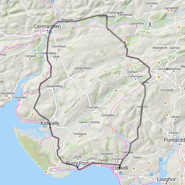
Cycle through history and enjoy the picturesque landscape of Llanelli and its surroundings.
This road cycling route takes you through the historical highlights near Llanelli, including Burry Port, Kidwelly Castle, Abergwili, Merlin's Hill Viewing Point, and Llannon. With a challenging ascent of 752 meters and a distance of 70 kilometers, this route offers a blend of historical landmarks and stunning natural scenery. Riders can expect breathtaking views of castles, panoramic hilltops, and picturesque villages.
Llanelli Castles and Coast
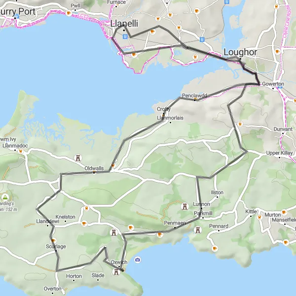
Explore historic castles and the beautiful coastline near Llanelli
The Llanelli Castles and Coast route is a road cycling adventure that combines history and natural beauty. With a total ascent of 469m and a distance of 66km, this route is suitable for cyclists of intermediate skill level. Starting in Llanelli, visit Three Crosses (15km) and Cefn Bryn (25km) to discover their historical significance. Continue along the coast and stop by Oxwich Castle (30km) and Weobley Castle (43km) to admire their architectural splendor. Finally, make a detour to Penclawdd (52km) before heading back to Llanelli, passing Loughor Castle (58km) along the way. This route offers a mix of coastal views and ancient monuments, making it a memorable cycling experience.
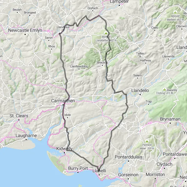
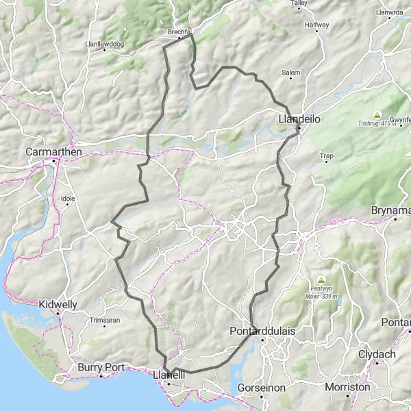
Embark on an epic cycling journey through the picturesque Carmarthen countryside
The Carmarthen Countryside Adventure is a challenging road cycling route that showcases the stunning landscapes surrounding Carmarthen. With a total ascent of 2068m and a distance of 125km, this route is tailored for experienced cyclists seeking a thrilling ride. Explore Trimsaran (8km) before heading towards Carmarthen (27km), a historic town with rich cultural heritage. Admire the scenic beauty of Llandysul (51km) and conquer the challenging Mynydd Llanybyther (73km) climb. Experience the tranquility of Gwernogle (80km) and enjoy panoramic views from Deer Park Viewing Platform (101km). Finally, pass through Carmel (105km) and Llannon (115km) to complete this challenging yet rewarding journey.
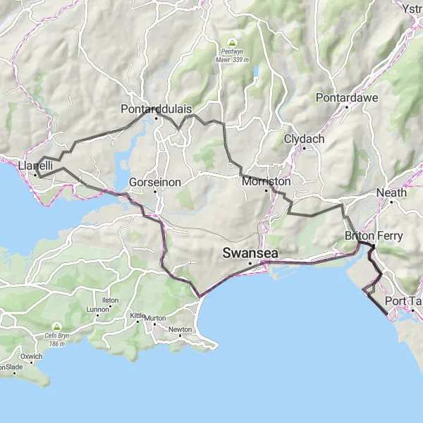
Discover the natural beauty of Llanelli as you ride through Morriston, Warren Hill, Briton Ferry, Kilvey Hill, Loughor, and Tyisha.
This road cycling route showcases the diverse natural landscapes of Llanelli and its surroundings. With a moderate ascent of 607 meters and a distance of 81 kilometers, this scenic ride offers a mix of hilly terrains, panoramic viewpoints, and picturesque riverside paths. Cyclists can look forward to encountering lush greenery, stunning river vistas, and charming villages along the way.
Cycling routes nearby:


Nearby regions: