Bjerg- og kystcykling i Recco
Cykelruter omkring Recco
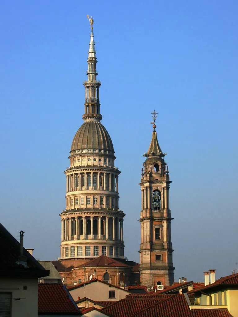
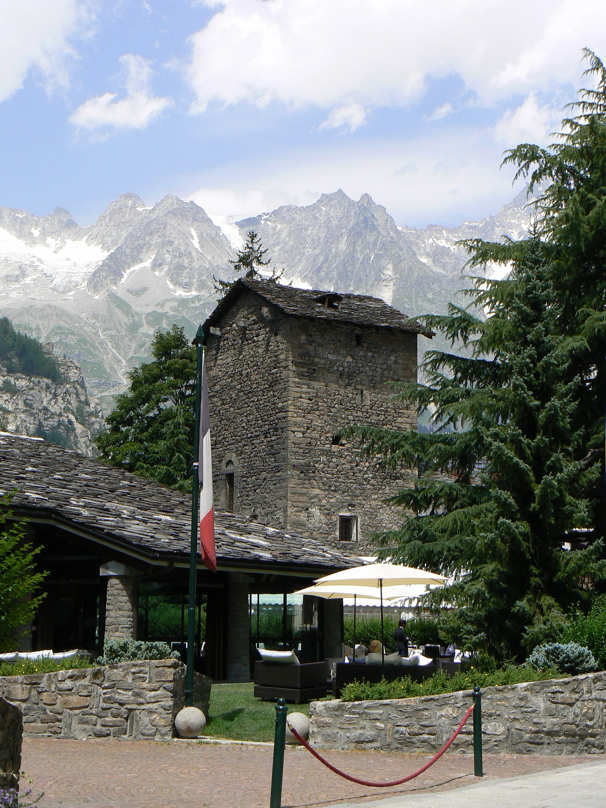
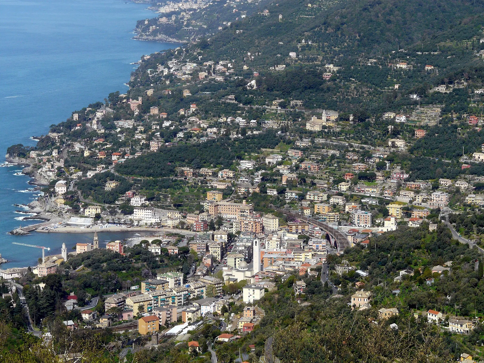
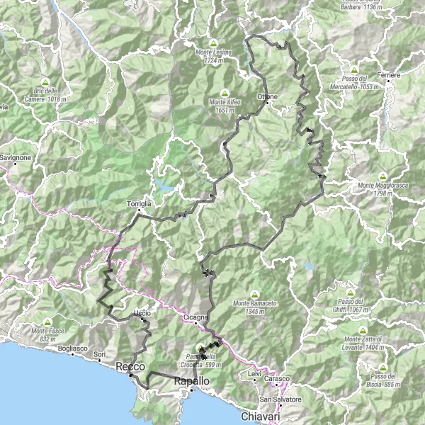
Recco er en hyggelig by i Ligurien, Italien. Byen ligger mellem havet og bjergene og tilbyder en fantastisk blanding af kyst- og bjergcykling. Der er flere veludviklede cykelstier omkring Recco, der giver cyklister mulighed for at udforske regionens natur og kultur.
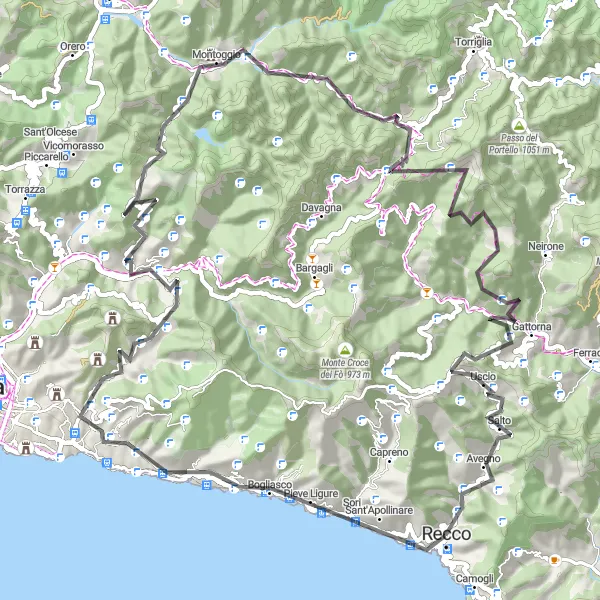
Challenging Mountain Loop
Test your climbing skills on the Ligurian mountains
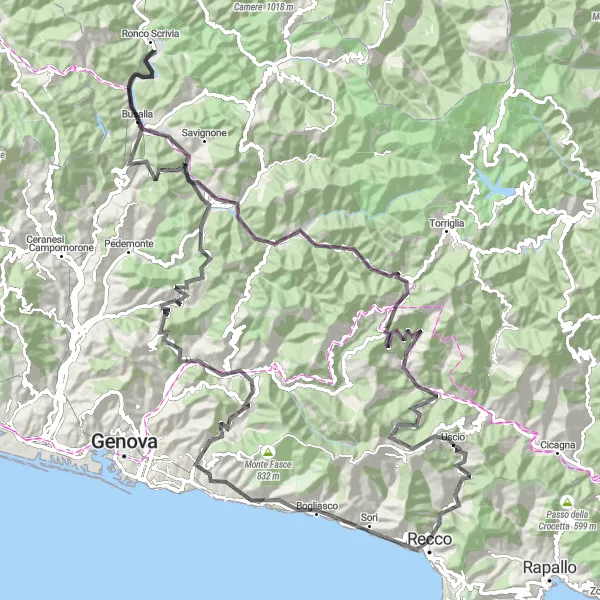
This 85 km road route features a demanding ascent of 2590m. Conquer the steep slopes of Monte Santa Croce and enjoy the views from Bogliasco. Pass through Aggio and tackle the challenging Passo della Scoffera. Cycle through the scenic villages of Scoffera and Lumarzo before reaching the peaks of Monte Pelato and Monte Serro. Descend through Avegno to complete the loop.
Conquer the challenging mountain passes of Liguria
This 96 km road route features a grueling ascent of 3170m. Traverse the rugged terrain to reach the summit of Monte Castellaro and enjoy the views from Bogliasco. Pass through Aggio and conquer the challenging Passo della Scoffera. Cycle through Zuccarello and reach the picturesque village of Tribogna before descending to Recco and Monte Esoli.
Experience the diverse landscapes of Liguria
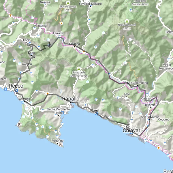
This 64 km road route offers a challenging ascent of 1531m. Explore the picturesque village of Avegno and tackle the steep Passo della Spinarola. Cycle through the scenic towns of Cicagna and Carasco before reaching Chiavari. Enjoy the panoramic views from Monte Esoli and Camogli as you cycle back to the starting point.
Udforsk Liguriens bjerge og dale på denne spændende cykeltur
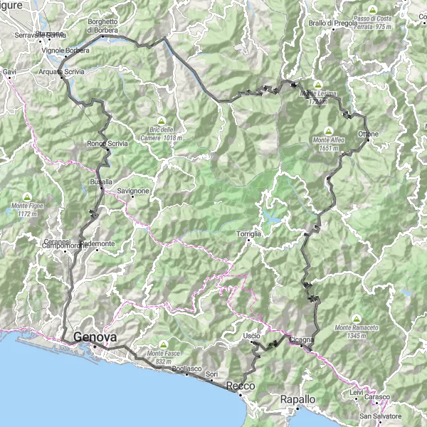
Denne rute tager dig gennem imponerende bjerge og små landsbyer som Genoa og Montebruno. Med en samlet stigning på 5418 meter er dette en udfordrende tur for erfarne cyklister, men belønningen er enestående udsigt og uforglemmelige oplevelser.
En udfordrende rute gennem bakker og bjerge
Denne krævende cykeltur tager dig med på en spændende rejse gennem Liguriens landskaber, med hårnålesving, stejle stigninger og fantastiske nedkørsler. Oplev den lokale kultur og smukke natur på vejen, mens du passerer Quarto dei Mille, Pizzo og Monte Serro. En cykeltur, der kræver god kondition, men belønner dig med fantastiske udsigter og uforglemmelige øjeblikke.
Bakketur til Recco
Tag på en spændende bakketur gennem Ligurias skønne natur
Denne 111 km lange rute kombinerer imponerende bjerglandskaber med charmerende landsbyer og kystbyer. Med mere end 2000 m stigning er dette en middel udfordrende tur for erfarne cyklister og dem der ønsker at udforske Ligurias unikke skønhed.
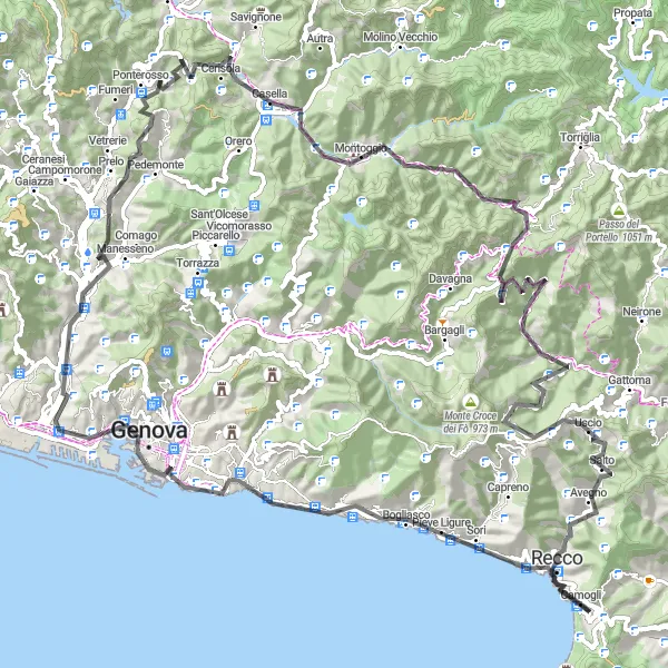
Oplev en smuk kyststrækning og imponerende bjerge på denne 138 km lange rute
Denne rute kombinerer de bedste elementer fra kyst- og bjergcykling og byder på en række spændende udfordringer og smukke udsigter. Med mere end 3000 m stigning er dette en middel til udfordrende tur for erfarne cyklister og naturelskere.
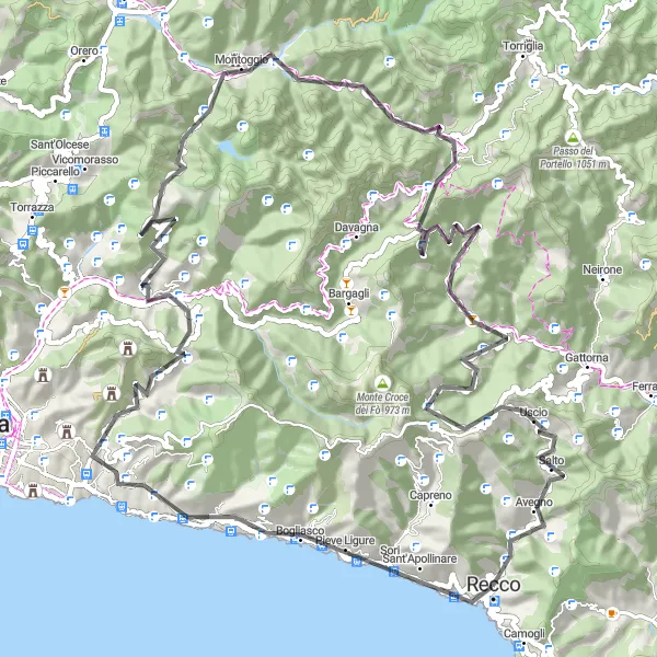
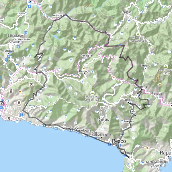
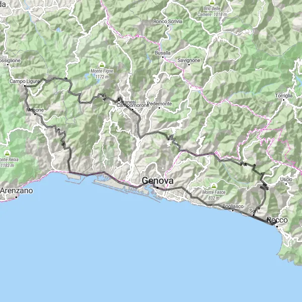
Udforsk bakker og bjerge i Ligurien
Denne kuperede rute giver dig mulighed for at udforske det smukke landskab i Ligurien med en udfordrende stigning og spændende nedkørsler gennem maleriske landsbyer. Oplev den lokale kultur og naturskønhed på vejen, mens du cykler gennem Pieve Ligure, Montoggio og Zuccarello.
Scenic Ligurian coast loop
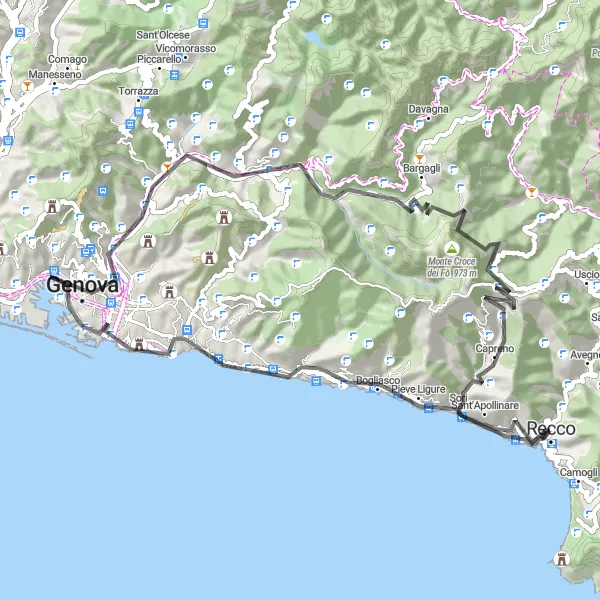
Enjoy the stunning views of the Ligurian Sea
This 67 km road route offers a challenging ascent of 1853m. Experience the quaint village of Pieve Ligure and the panoramic views from Monte Santa Croce. Pass through Genoa and reach the peak of Monte Croce di Pinasco. Cycle through Bargagli and reach the summit of Monte Croce dei Fò before descending to Polanesi and Poggio Montone.
Tag på en eventyrlig rejse gennem de liguriske bjerge
Denne 177 km lange tur byder på en række imponerende stigninger og nedkørsler gennem charmerende landsbyer og smuk natur. Med mere end 5000 m stigning er dette en udfordrende rute for erfarne cyklister.
Nærliggende cykelruter:
Nærliggende regioner: