![Cover image](https://images.tarmacs.app/cycling-routes/covers/spain/andalucia/armilla-5.webp)
Smukke cykelruter nær Granada
Cykelruter omkring Armilla
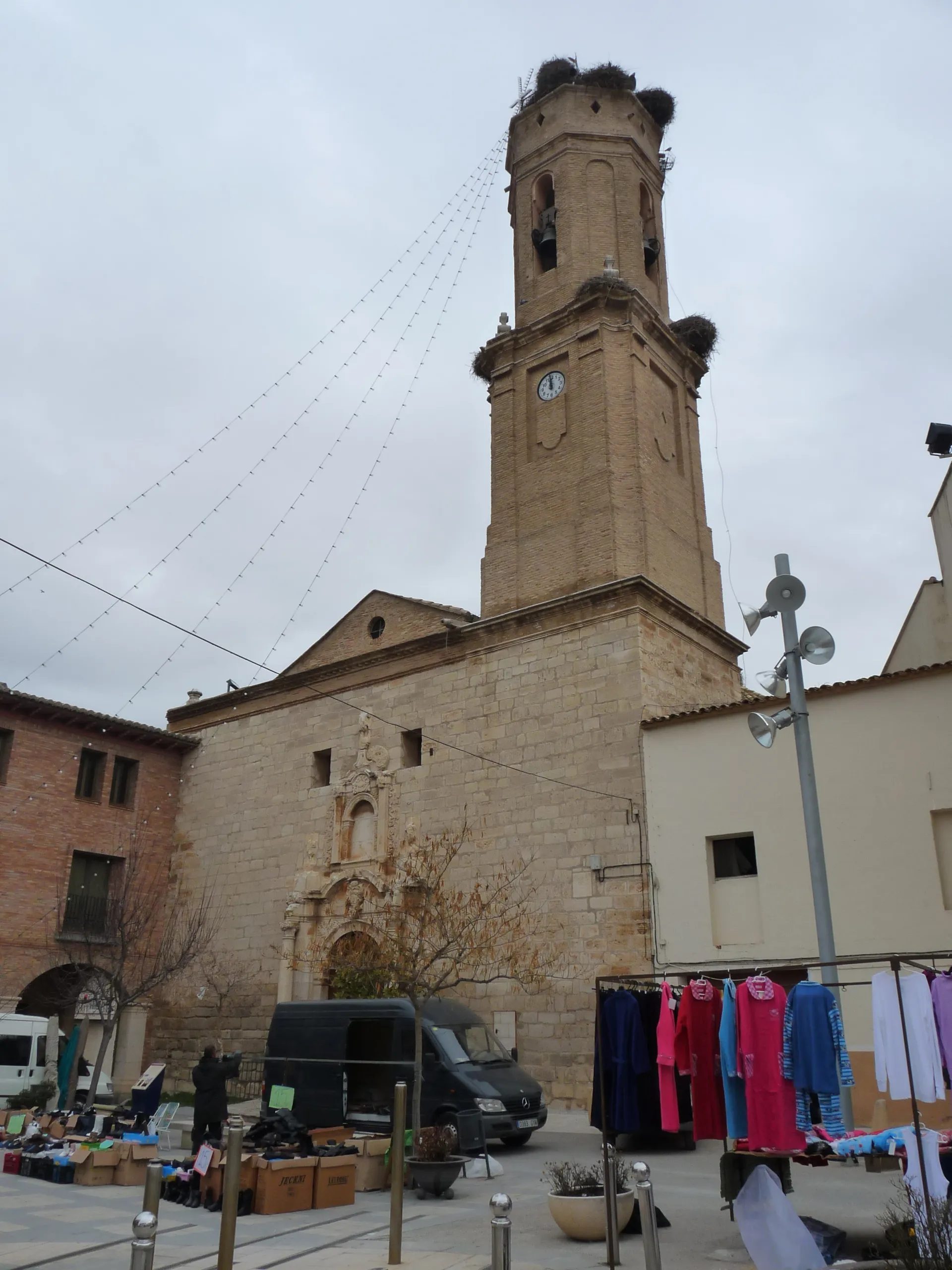
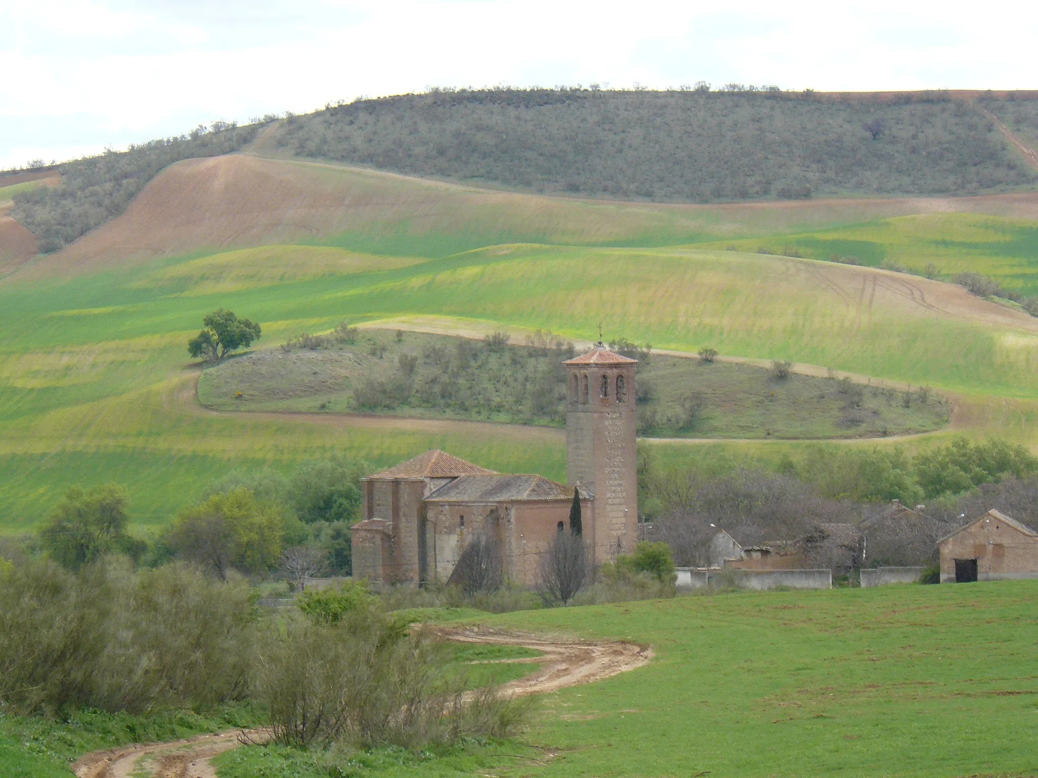
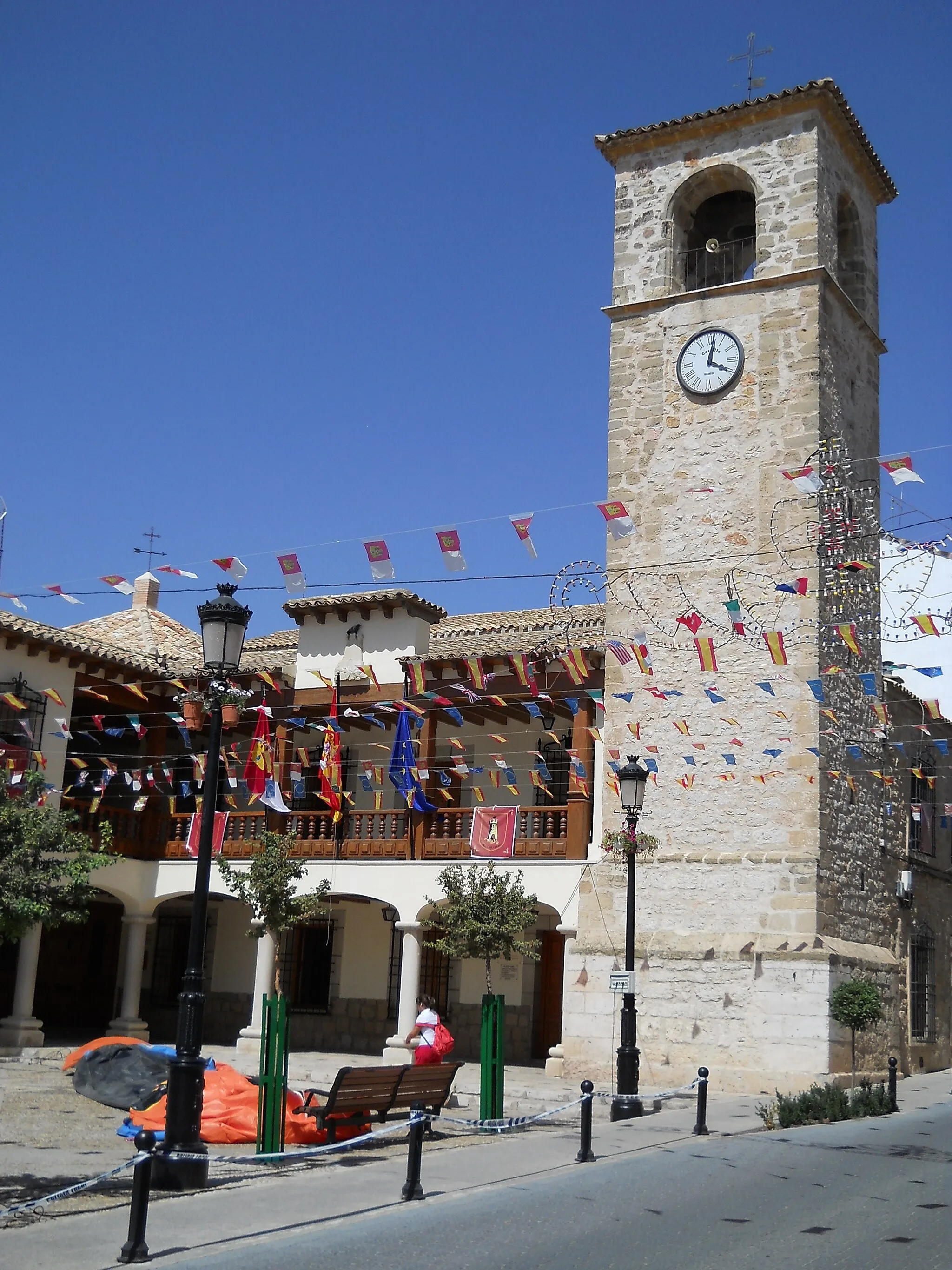
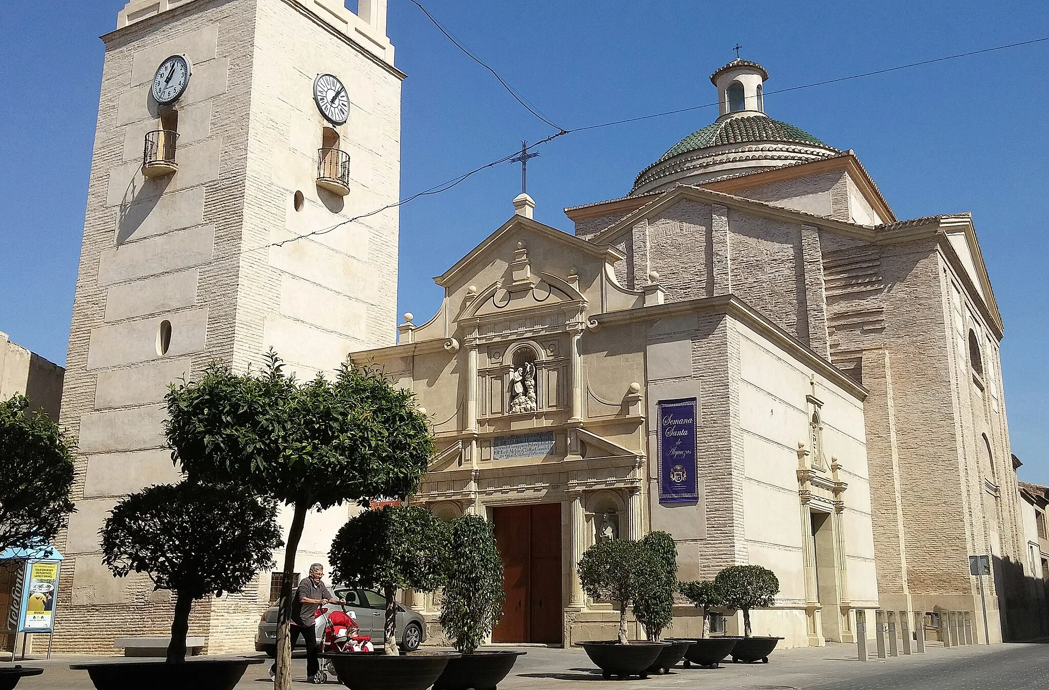
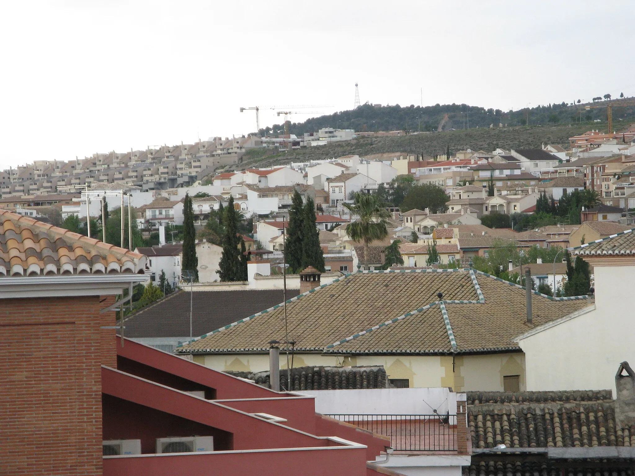
Armilla ligger i nærheden af Granada i Andalucía og kan prale af maleriske ruter gennem landskabet. Byen har en blanding af flade strækninger og nogle udfordrende stigninger, der tiltrækker cyklister fra hele verden.
![Miniaturekort af cykelinspirationen "Gruskørsel i Naturreservatet (Gravel)" i Andalucía, Spain. Genereret af Tarmacs.app cykelruteplanlægger](https://images.tarmacs.app/cycling-routes/routemaps/600/spain/andalucia/armilla/gravel/250461.webp)
En eventyrlig tur op ad bjergene
Tag på en udfordrende 60 km lang rute med 1117 meter stigning gennem Santa Juliana, Cerro Pindorón, Cogollos de la Vega, Cerro del Cuco, Cerro de las Calaveras, El Fargue, Mirador de Hotel Alhambra Palace og Casa de Zafra.
![Miniaturekort af cykelinspirationen "Gallo Høj til Churriana de la Vega på Grusveje" i Andalucía, Spain. Genereret af Tarmacs.app cykelruteplanlægger](https://images.tarmacs.app/cycling-routes/routemaps/600/spain/andalucia/armilla/gravel/250436.webp)
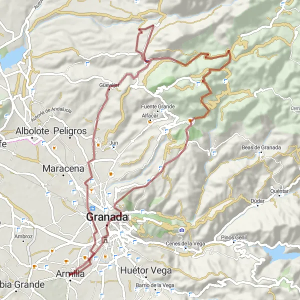
Oplev den naturskønne skønhed på denne 61 km lange gruscykelrute fra Gallo Høj til Churriana de la Vega.
Cykl gennem La Malahá, Chimeneas og Chauchina på denne 399 meter stigningstur. Eventyr gennem det barske terræn og oplev den fredfyldte atmosfære ved Churriana de la Vega.
![Miniaturekort af cykelinspirationen "Panoramaudsigt over Granada (Gravel)" i Andalucía, Spain. Genereret af Tarmacs.app cykelruteplanlægger](https://images.tarmacs.app/cycling-routes/routemaps/600/spain/andalucia/armilla/gravel/250445.webp)
En kort og sød landskabelig oplevelse
På denne 22 km lange rute med 105 meter stigning vil du passere forbi Santa Juliana, San Nicolás Viewpoint og Granada og opleve smukke panoramaer undervejs.
![Miniaturekort af cykelinspirationen "Granada til Cogollos de la Vega" i Andalucía, Spain. Genereret af Tarmacs.app cykelruteplanlægger](https://images.tarmacs.app/cycling-routes/routemaps/600/spain/andalucia/armilla/road/250432.webp)
Udforsk det betagende landskab og kultur fra Granada til Cogollos de la Vega på denne rute.
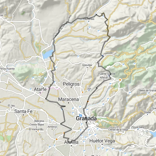
Tag på en 71 km lang cykeltur med 939 meters stigning, der tager dig gennem byer som Hurpe, El Chaparral og Deifontes. Du vil blive betaget af udsigten fra San Nicolás Viewpoint og opleve den pulserende atmosfære i Granada.
![Miniaturekort af cykelinspirationen "Udforsk Andalusiens Skatte (Road)" i Andalucía, Spain. Genereret af Tarmacs.app cykelruteplanlægger](https://images.tarmacs.app/cycling-routes/routemaps/600/spain/andalucia/armilla/road/250435.webp)
En rejse gennem varierede landskaber
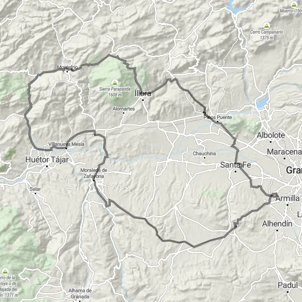
På denne 137 km lange rute vil du kunne opleve en stigning på 1845 meter, gennem landdistrikter med pittoreske landsbyer som La Malahá, El Turro, Tocón, Cerro de la Autora, Montefrío, National Geographic Viewpoint, Íllora, Cerro del Sombrerete og Cúllar Vega.
Armilla til Dílar Grustrute
![Miniaturekort af cykelinspirationen "Armilla til Dílar Grustrute" i Andalucía, Spain. Genereret af Tarmacs.app cykelruteplanlægger](https://images.tarmacs.app/cycling-routes/routemaps/600/spain/andalucia/armilla/gravel/250443.webp)
På denne udfordrende 84 km lange gruscykelrute fra Armilla til Dílar oplever du højdemeter og smuk natur.
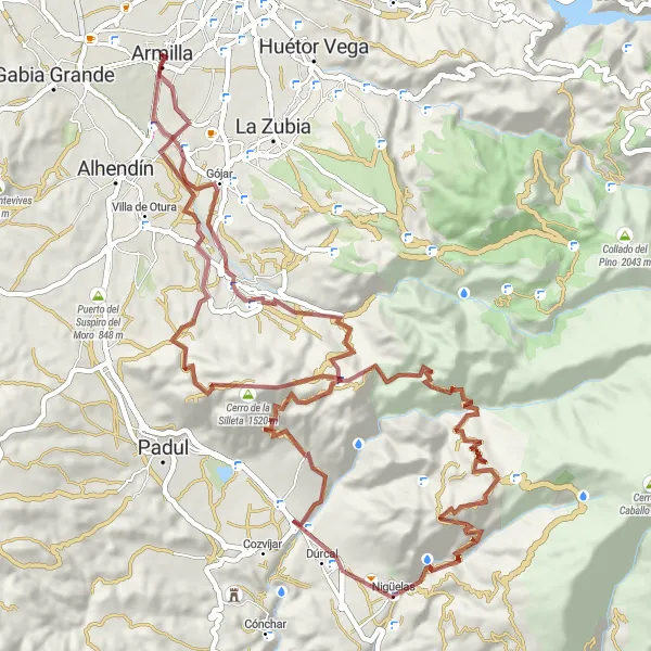
Med 2756 meters stigning, ruten tager dig forbi Puerto de las Calaveras, Cerro Blanco, Mirador de la Razuela og Nigüelas. En sand testsag for enhver eventyrlysten cyklist!
![Miniaturekort af cykelinspirationen "Cúllar Vega til Santa Juliana på Landeveje" i Andalucía, Spain. Genereret af Tarmacs.app cykelruteplanlægger](https://images.tarmacs.app/cycling-routes/routemaps/600/spain/andalucia/armilla/road/250486.webp)
En 62 km lang landevejscykelrute fra Cúllar Vega til Santa Juliana.
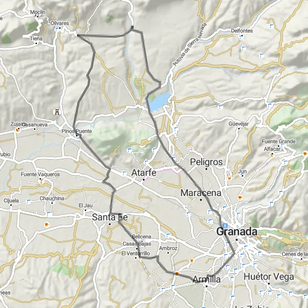
Med 466 meters stigning, ruten tager dig gennem Cúllar Vega, Cerro del Sombrerete, Pinos Puente og Albolote. Oplev natur, historie og kultur på denne unikke cykeltur.
![Miniaturekort af cykelinspirationen "Atarfe Grussti til Churriana de la Vega" i Andalucía, Spain. Genereret af Tarmacs.app cykelruteplanlægger](https://images.tarmacs.app/cycling-routes/routemaps/600/spain/andalucia/armilla/gravel/250695.webp)
På dette 42 km lange grusstitur fra Atarfe til Churriana de la Vega oplever du naturens skønhed og stilheden i landskabet.
Med kun 175 meters stigning, denne tur tager dig gennem Churriana de la Vega, Cerro del Sombrerete, Atarfe og Santa Juliana. Et sjovt og mindeværdigt eventyr venter på dig!
![Miniaturekort af cykelinspirationen "Historiske Landsbyer og Sidegader (Road)" i Andalucía, Spain. Genereret af Tarmacs.app cykelruteplanlægger](https://images.tarmacs.app/cycling-routes/routemaps/600/spain/andalucia/armilla/road/250430.webp)
En tur gennem det autentiske Andalusien
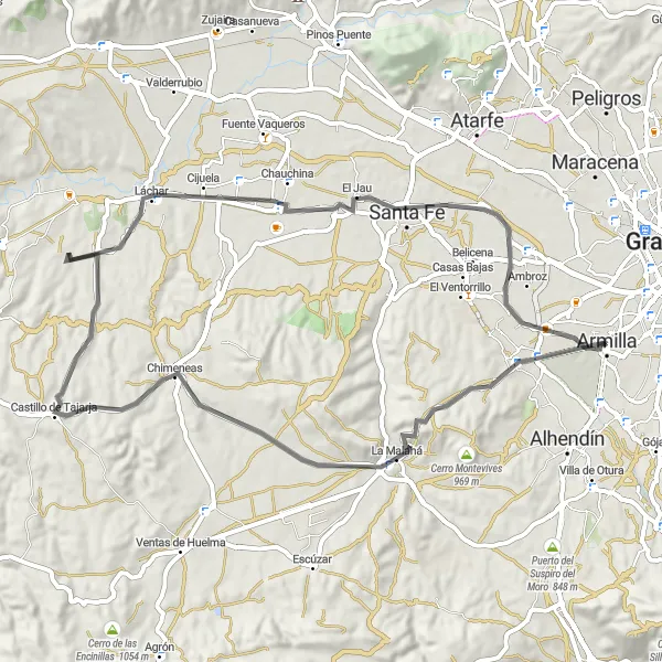
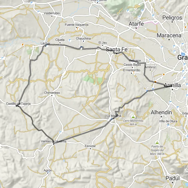
Opdag charmen ved de andalusiske landsbyer på denne 65 km lange rute med 632 meter stigning. Besøg La Malahá, Chimeneas, Láchar og Cúllar Vego for at opleve den autentiske skønhed i regionen.
Rundtur mod Lavahøj (Road)
![Miniaturekort af cykelinspirationen "Rundtur mod Lavahøj (Road)" i Andalucía, Spain. Genereret af Tarmacs.app cykelruteplanlægger](https://images.tarmacs.app/cycling-routes/routemaps/600/spain/andalucia/armilla/road/250434.webp)
Opdag de maleriske byer undervejs
Nyd en smuk tur gennem det andalusiske landskab med stigninger op til 596 meter over 64 kilometer. Ruten går gennem La Malahá, Ventas de Huelma, Láchar og Cúllar Vega.
Nærliggende cykelruter:
![Billede af Ogíjares](https://images.tarmacs.app/cycling-routes/covers/spain/andalucia/ogijares-5.webp)
![Billede af Alhendín](https://images.tarmacs.app/cycling-routes/covers/spain/andalucia/alhendin-5.webp)
![Billede af Zubia](https://images.tarmacs.app/cycling-routes/covers/spain/andalucia/zubia-3.webp)
![Billede af Gójar](https://images.tarmacs.app/cycling-routes/covers/spain/andalucia/gojar-4.webp)
![Billede af Cájar](https://images.tarmacs.app/cycling-routes/covers/spain/andalucia/cajar-5.webp)
![Billede af Huétor Vega](https://images.tarmacs.app/cycling-routes/covers/spain/andalucia/huetor-vega-4.webp)
![Billede af Granada](https://images.tarmacs.app/cycling-routes/covers/spain/andalucia/granada-4.webp)
![Billede af Maracena](https://images.tarmacs.app/cycling-routes/covers/spain/andalucia/maracena-5.webp)
Nærliggende regioner:
![Billede af Aragón](https://images.tarmacs.app/cycling-routes/covers/spain/aragon/zaidin-3.webp)
![Billede af Comunidad de Madrid](https://images.tarmacs.app/cycling-routes/covers/spain/comunidad-de-madrid/fresno-de-torote-2.webp)
![Billede af Castilla y León](https://images.tarmacs.app/cycling-routes/covers/spain/castilla-y-leon/san-esteban-de-gormaz-2.webp)
![Billede af Castilla-La Mancha](https://images.tarmacs.app/cycling-routes/covers/spain/castilla-la-mancha/mota-del-cuervo-3.webp)
![Billede af Extremadura](https://images.tarmacs.app/cycling-routes/covers/spain/extremadura/calamonte-3.webp)
![Billede af Valencias Fællesskab](https://images.tarmacs.app/cycling-routes/covers/spain/comunitat-valenciana/benaguasil-1.webp)
![Billede af Región de Murcia](https://images.tarmacs.app/cycling-routes/covers/spain/region-de-murcia/alguazas-5.webp)
![Billede af Algarve](https://images.tarmacs.app/cycling-routes/covers/portugal/algarve/aljezur-3.webp)
![Billede af Área Metropolitana de Lisboa](https://images.tarmacs.app/cycling-routes/covers/portugal/area-metropolitana-de-lisboa/canecas-5.webp)
![Billede af Alentejo](https://images.tarmacs.app/cycling-routes/covers/portugal/alentejo/montemor-o-novo-2.webp)