Výzvy pre cyklistov v nádhernej prírode
Cyklotrasy od Chateauneuf-du-Rhone
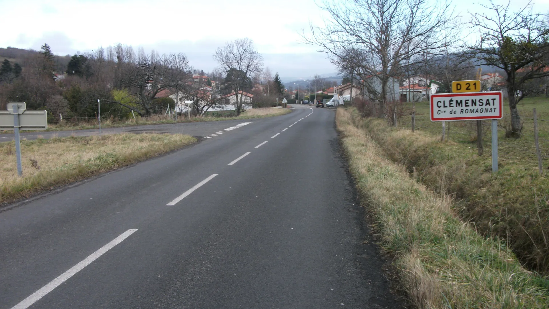
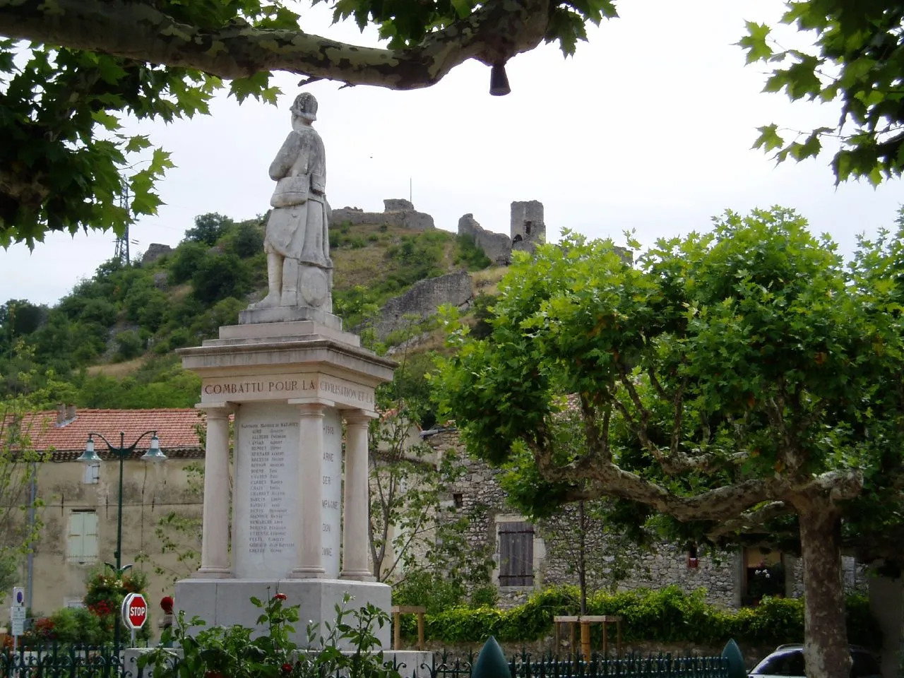
Châteauneuf-du-Rhône je malebné mesto v regióne Rhône-Alpes vo Francúzsku, ktoré je obklopené krásnou prírodou a kopcovitým terénom, ideálnym pre cyklistiku. Miesto ponúka množstvo výziev pre cyklistov všetkých úrovní.
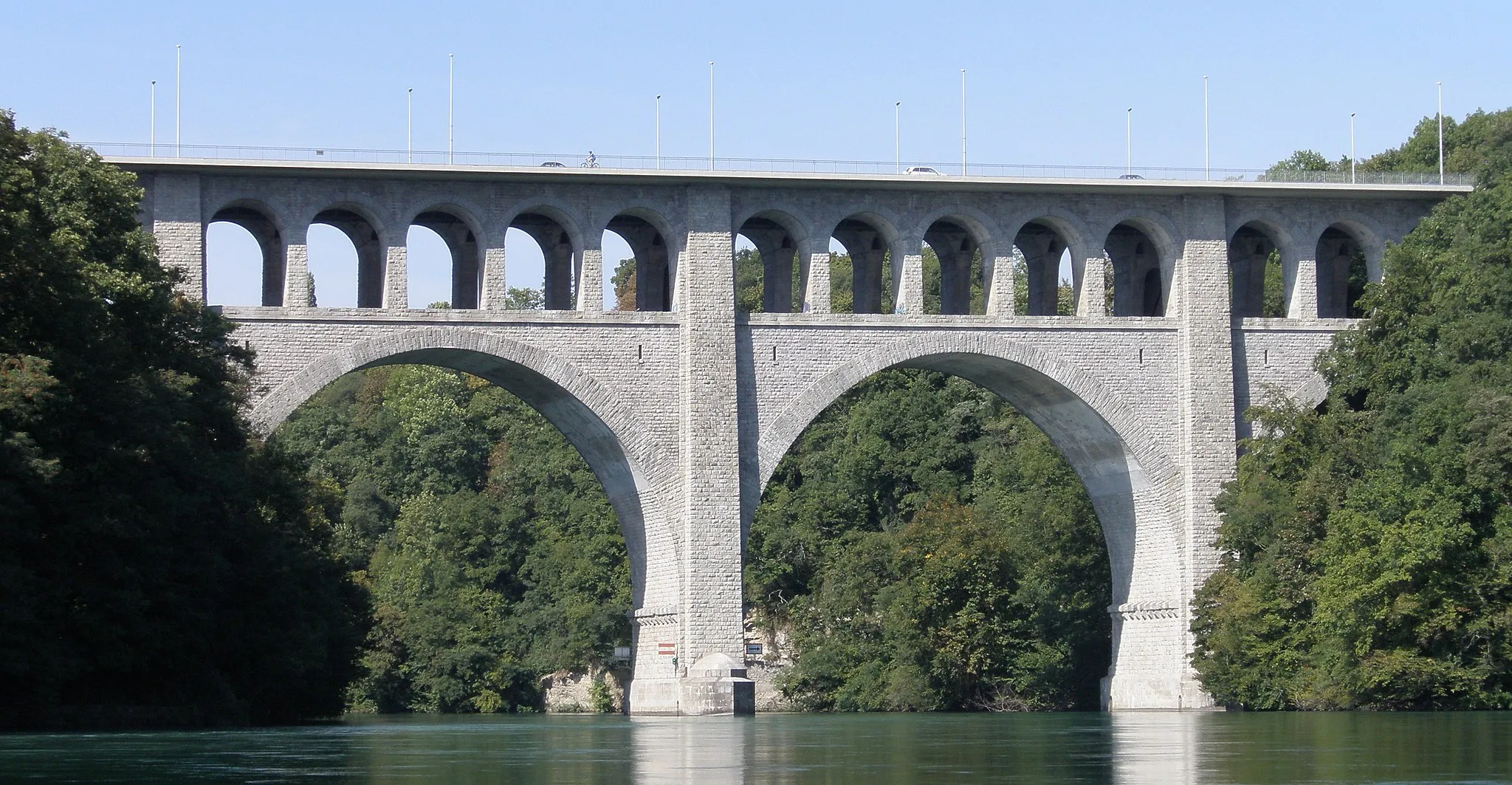
Road route to Viviers
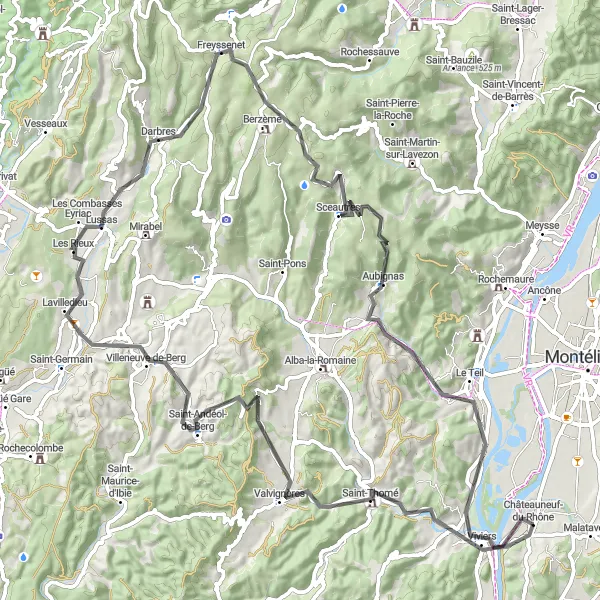
Exciting road cycling adventure in Rhône-Alpes region
Embark on a 93 km road cycling journey through the beautiful landscapes near Châteauneuf-du-Rhône. Highlights include the panoramic views from Table d'orientation and the charming village of Sceautres. With a total ascent of 1528m, this route offers a challenging yet rewarding experience for cyclists of all levels.
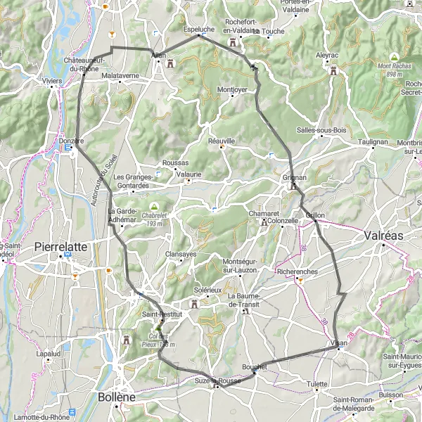
Okruh cez Espeluche a Vinsobres
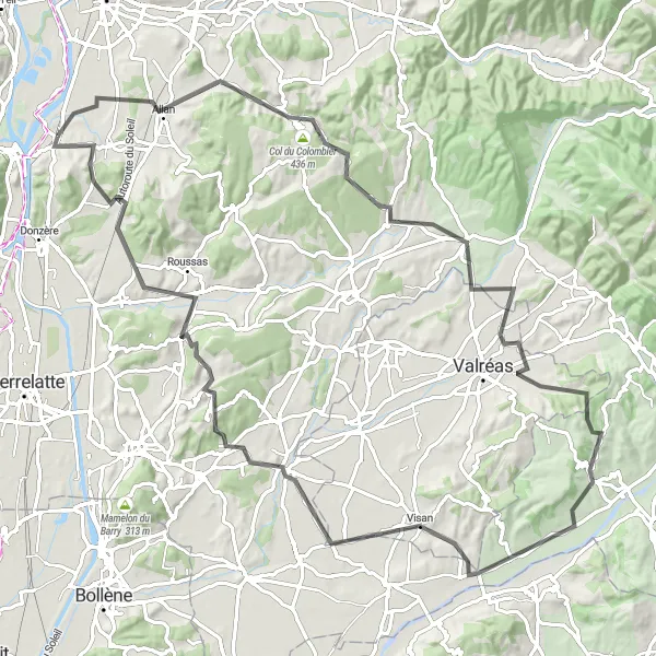
Miernejší výstup s nezabudnuteľnými výhľadmi na vinohrady a historické pamiatky
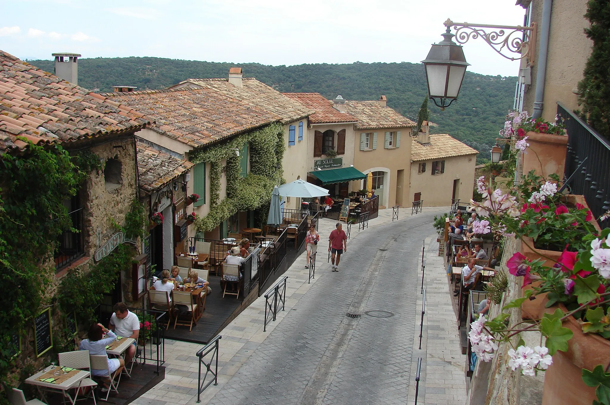
Tento 99 km dlhý okruh ponúka pôvabné dedinky a nádherné vinohrady. Výstup na Col du Colombier a následný zostup do Vinsobres je nezabudnuteľným zážitkom. Cesta je ideálna pre cyklistov, ktorí chcú spoznať miestnu kultúru a prírodu.
Trasa okolo Saint-Montan
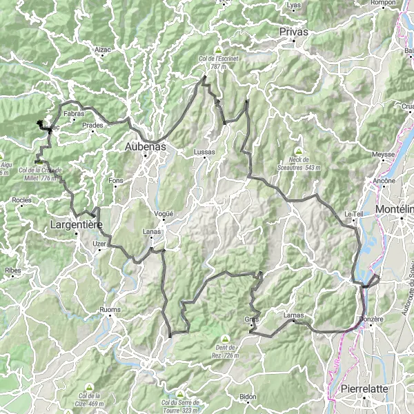
Náročná cesta plná úžasných výhľadov a skrytých pokladov
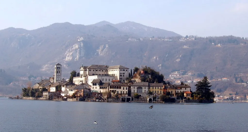
Táto cyklotrasa ponúka 191 km plných malebných dediniek a úchvatných prírodných scenérií. Na trase nájdete zaujímavé miesta ako Largentière a Table d'orientation s panoramatickým výhľadom na okolie. Cesta je náročná, ale určite stojí za to!
Picturesque road cycling journey near Châteauneuf-du-Rhône
Explore the beautiful landscapes of Rhône-Alpes on this 81 km road cycling trip. Highlights include the charming village of Espeluche and the panoramic views from Col des Pieux. With a total ascent of 783m, this route offers a pleasant cycling experience suitable for all levels of cyclists.
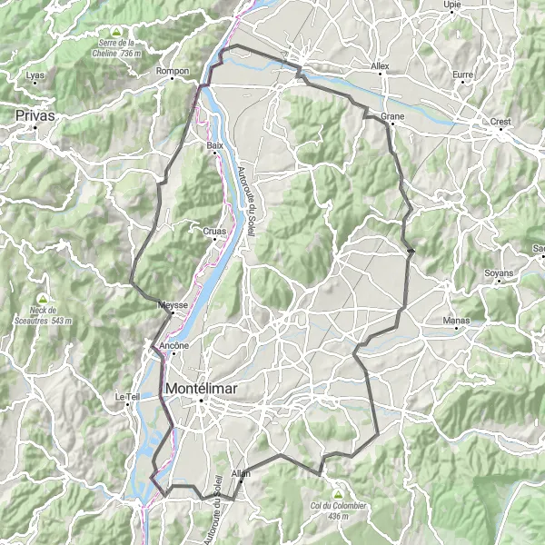
Okruh Montélimar - Viviers

Cestovanie krajinou Rhône-Alpes
Tento okruh ponúka úžasný výhľad na južné Francúzsko a obce ako Montélimar, Marsanne alebo Crest. S prevýšením 1341m a dĺžkou 110 km je to výzva pre skúsených cyklistov. Cesta vedie cez údolia, horské pasáže a malebné dedinky.

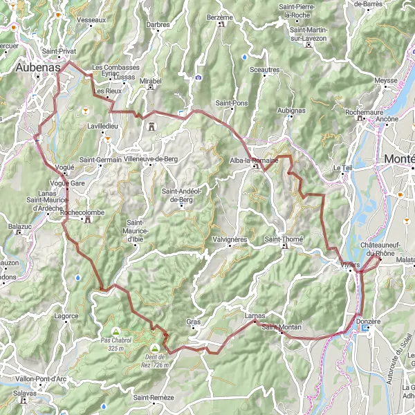
Exciting gravel route through picturesque landscapes
Discover the beauty of the Rhône-Alpes region on this 72 km gravel cycling loop starting near Châteauneuf-du-Rhône. Highlights include the stunning Dent de Rez and the charming town of Saint-Thomé. With a total ascent of 1392m, this route offers a challenging yet rewarding experience for gravel enthusiasts.
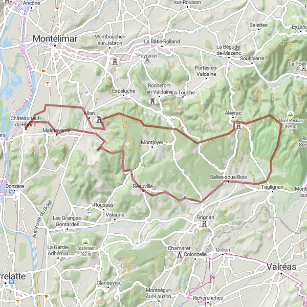
Gravel route around Châteauneuf-du-Rhône

Scenic gravel route with varied terrain
Explore the picturesque landscapes surrounding Châteauneuf-du-Rhône on this 73 km gravel route. Highlights include the stunning views from Col du Colombier and the charming town of Taulignan. With a total ascent of 1099m, this route offers a challenging yet rewarding cycling experience.
Náročná trasa s krásnymi výhľadmi
Tento 102-kilometrový gravelový okruh ponúka 1560 metrové prevýšenie a vedie cez malebné miesta ako Belvédère de la Vierge a Alba-la-Romaine. Začnite v Viviers a pokračujte až do Joannade.
S dlhým stúpaním a krásnym výhľadom
Tento 104-kilometrový okruh je náročný, ale odmení vás pohľadmi na malebné dedinky langs rieky Rhône. Začnite v Rochemaure a pokračujte cez Saint-Lager-Bressac až do Châteauneuf-du-Rhône so 842 metrovým prevýšením.
Objavujte menej známe cesty
Tento gravelový okruh je dĺžky 63 km a ponúka prekrásne výhľady na okolitú prírodu. S prevýšením 962 m je vhodný pre stredne skúsených cyklistov. Cesta vedie cez malebné dedinky a okolité vinice, čo robí z tohto okruhu skutočný zážitok.
Cyklistické trasy v okolí:
Blízke regióny: