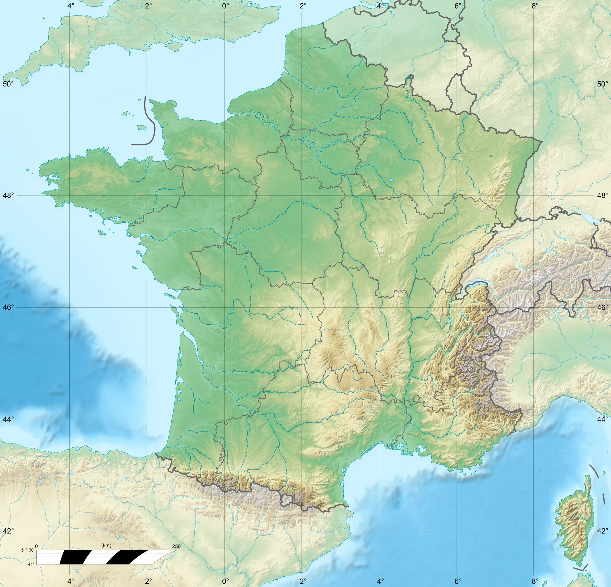
Ideálne miesto pre cyklistiku a turizmus v údolí s legendárnymi stúpaniami v blízkosti.
Cyklotrasy od Saint-Martin-de-Belleville
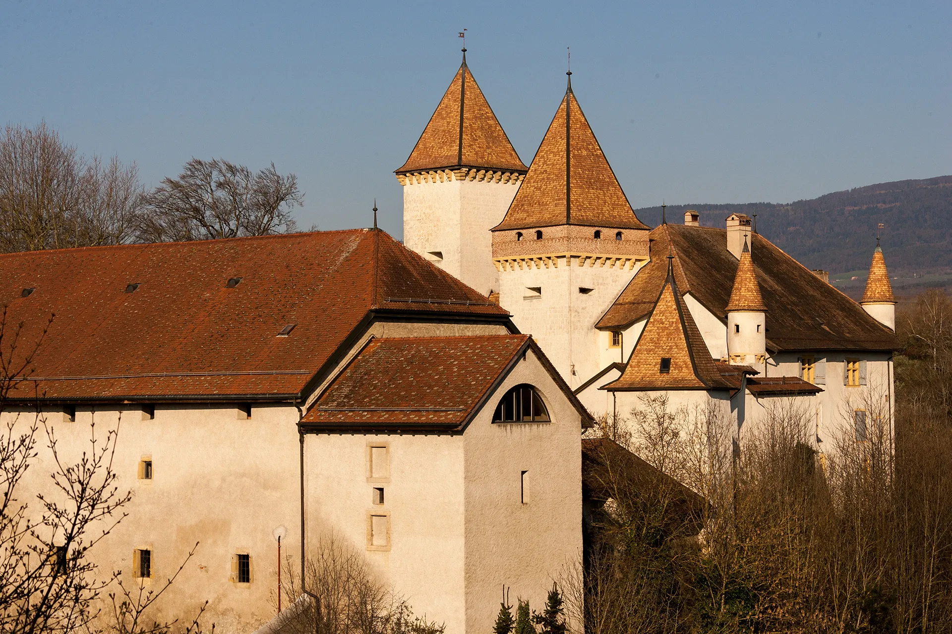
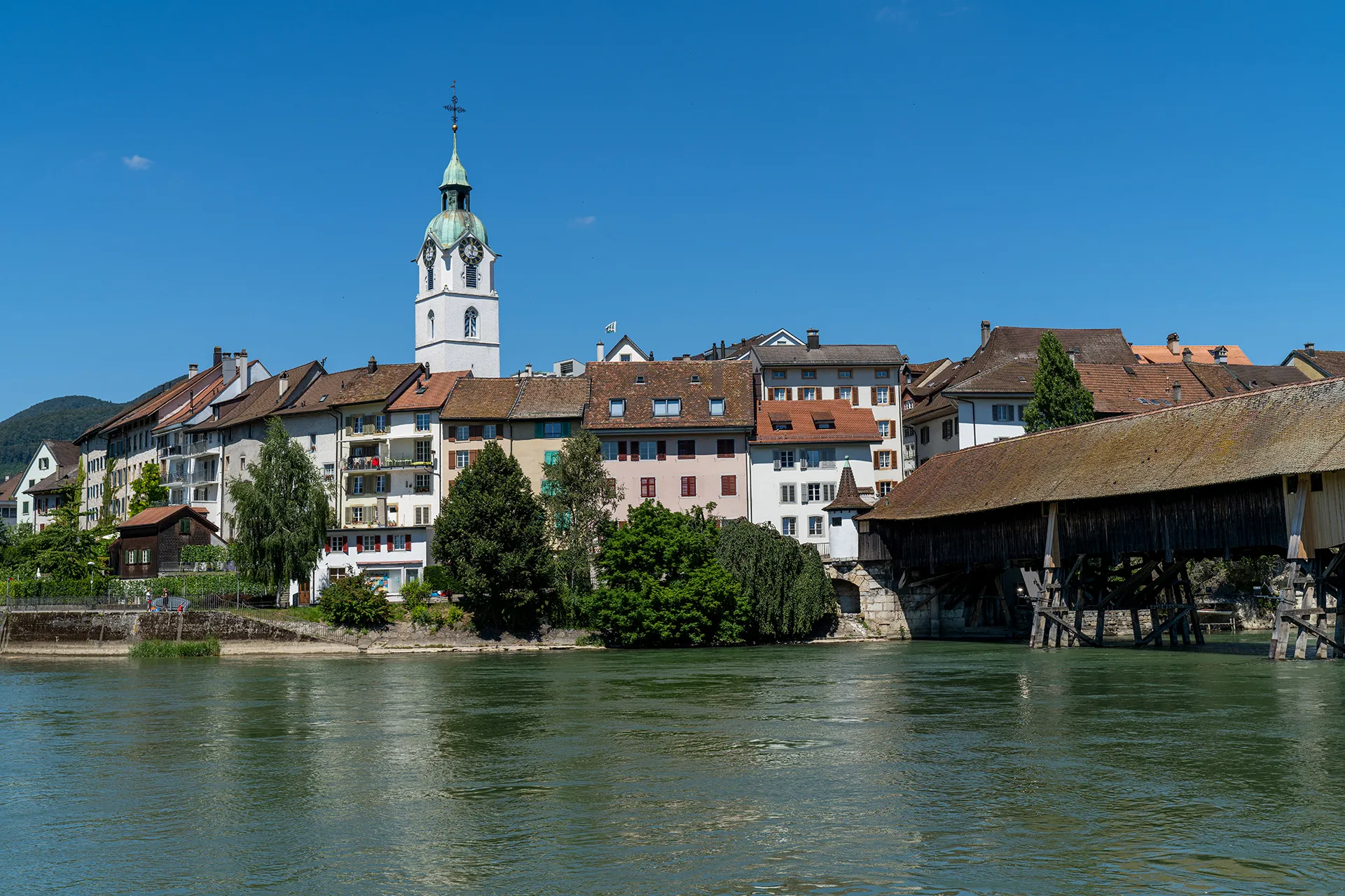
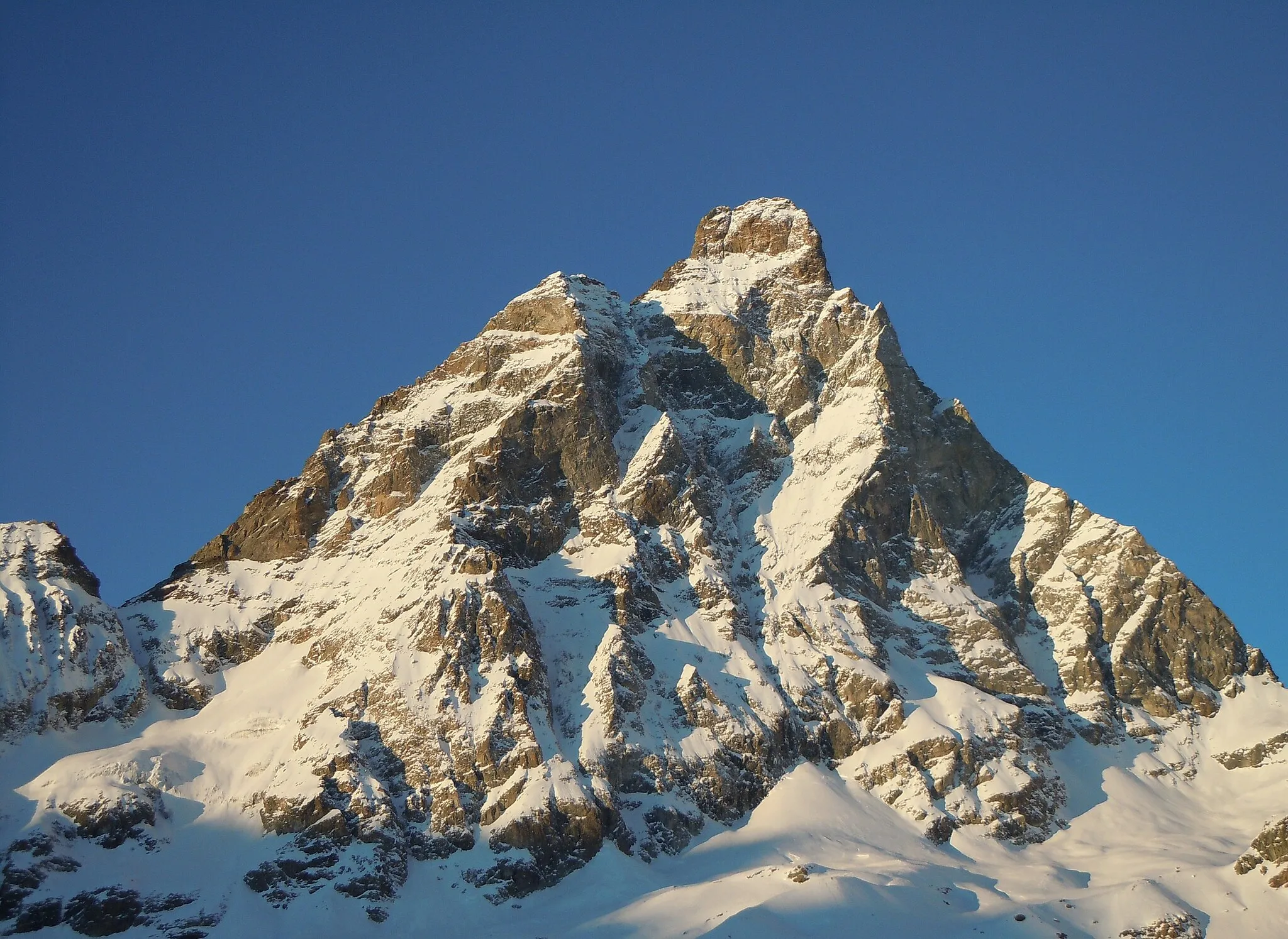
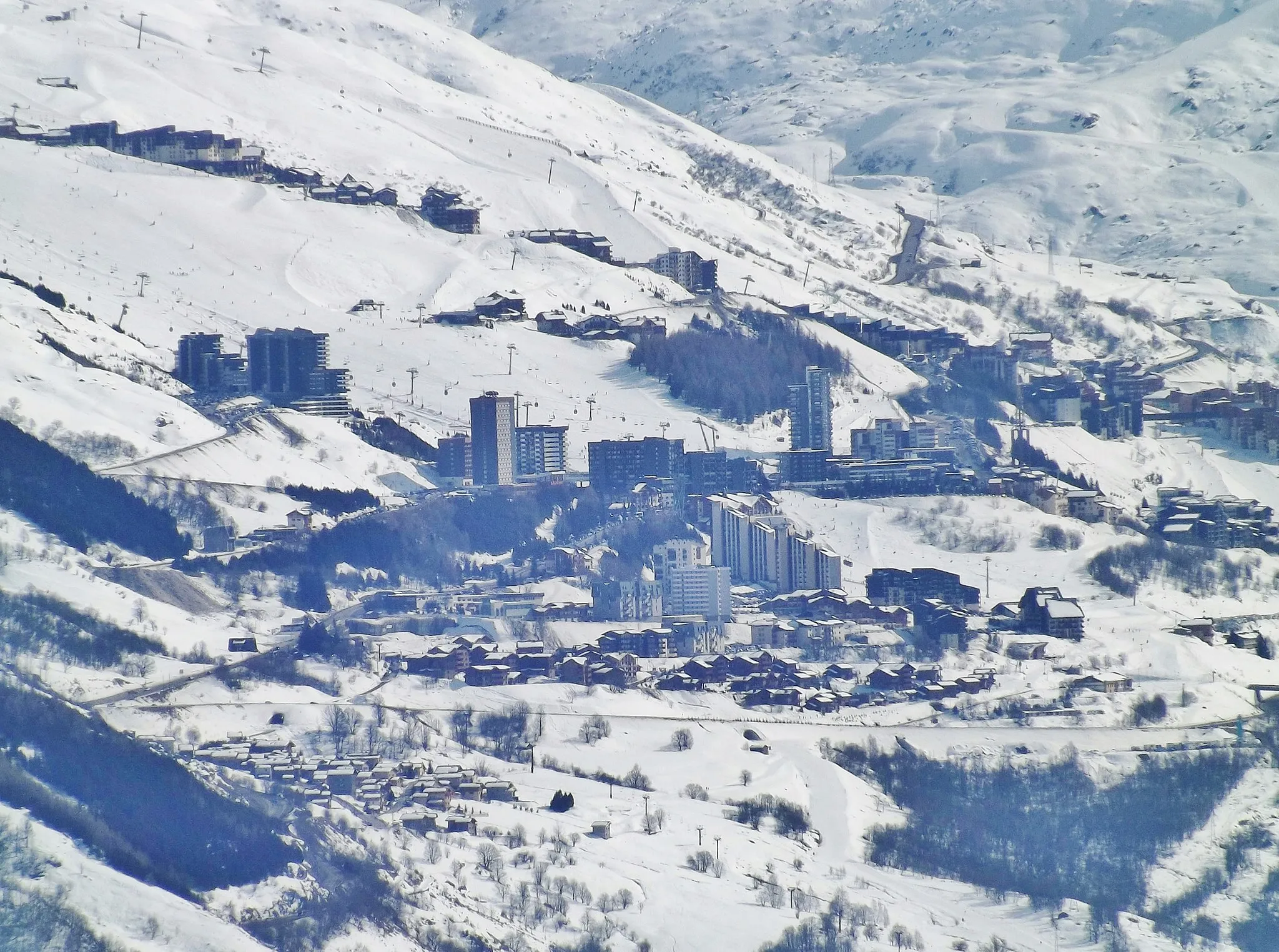
Saint-Martin-de-Belleville je malebné mesto ležiace v údolí, ktoré je ideálne pre cyklistiku. Okolité kopcovité terény ponúkajú vynikajúce možnosti pre horskú cyklistiku a cestných cyklistov. V blízkosti sú legendárne stúpania ako Col de la Loze. Mesto je tiež obľúbené miesto pre turistov v zimných mesiacoch.
Trasa do Brides-les-Bains
Zaujímavá cesta smerujúca k Brides-les-Bains
Táto 61 km dlhá trasa s prevýšením 2399 m ponúka krásne výhľady a zaujímavé miesta ako Bozel či Saint-Laurent-de-la-Côte. Cyklisti ocenia scenériu a možnosť obdivovať prírodu.

Dobrodružná cesta s výstupom 3540 m a dĺžkou 66 km
Táto gravelová trasa prevedie cyklistov cez malebné La Tania a Courchevel Moriond. S výstupom 3540 m a dĺžkou 66 km je tento okruh výzvou pre každého dobrodruha. Počas cesty sa môžete tešiť na úchvatné výhľady a príležitosti na fotenie.

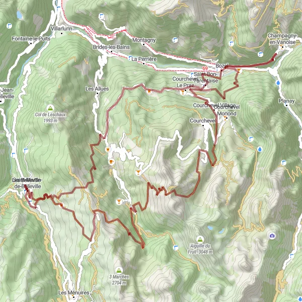
Explore the stunning Trois Vallées on a challenging gravel route
Embark on a thrilling adventure through the Trois Vallées, with over 3000m of ascent and 57km of scenic trails. Start your journey at Saint-Martin-de-Belleville and pass by charming highlights such as Caseblanche, La Tania, and Courchevel Moriond. Experience the breathtaking views from Saulire and Tougnète before reaching the picturesque Le Molard. This route is perfect for gravel enthusiasts seeking a true mountain biking challenge.
Cesta cez Salins-les-Thermes

Náročná trasa pre skúsenejších cyklistov
82 km s prevýšením 2253 m ponúka pohľady na Salins-les-Thermes a ďalšie zaujímavé lokality ako La Bâthie a Notre-Dame-de-Briançon. Táto trasa je obľúbená medzi náročnými cyklistami, ktorí hľadajú výzvy.

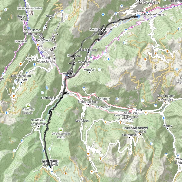
Náročná jazda s výstupom 4428 m a dĺžkou 148 km
Táto výzva pre skúsených cyklistov vedie z Saint-Martin-de-Belleville až do Fontaine-le-Puits. S výstupom 4428 m a dĺžkou 148 km je toto jedna z najnáročnejších ciest v regióne. Počas cesty si užijete úchvatné výhľady a zaujímavú krajinu.
Náročná cyklotrasa s výstupom 2902 m a dĺžkou 77 km
Táto cyklotrasa ponúka náročné stúpanie a zaujímavé výhľady. Začína v malebnom Saint-Martin-de-Belleville a vedie cez historické obce a prírodné krásy, vrátane Château Montmayeur a Salins-les-Thermes. Cestou sa dostanete k Montgirod a nakoniec dorazíte do Saint-Laurent-de-la-Côte, kde si môžete oddýchnuť a obdivovať okolitú krajinu.
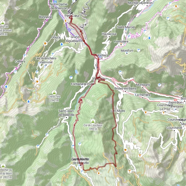
Scenic Gravel Loop

Embark on a picturesque gravel loop starting from Saint-Martin-de-Belleville
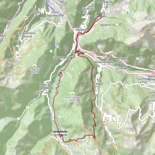
Experience the beauty of the Rhône-Alpes region on this 38km gravel loop. Starting in Saint-Martin-de-Belleville, you will cycle through charming villages like Villarlurin and Les Allues. The highlight of the route is the scenic Pas de Cherferie, offering panoramic views of the surrounding mountains. With a total ascent of 2042m, this route is ideal for gravel riders seeking a memorable adventure.
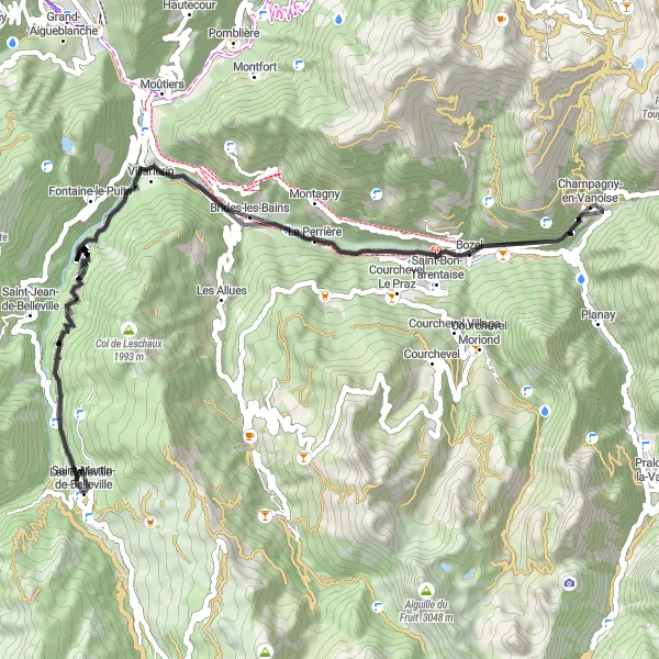
Champagny-en-Vanoise a späť
Náročná trasa s krásnymi výhľadmi
76 km s prevýšením 3848 m ponúka cyklistom výzvy a zaujímavé miesta ako La Tania či Saulire. Táto trasa je vhodná pre skúsených cyklistov, ktorí hľadajú náročné terény.
Zábavná trasa s výstupom 2463 m a dĺžkou 55 km
Táto zábavná gravelová trasa vedie z Saint-Martin-de-Belleville až do Les Allues. S výstupom 2463 m a dĺžkou 55 km je toto ideálna trasa pre cyklistov hľadajúcich dobrodružstvo v prírode. Počas cesty si užijete krásne výhľady a možnosti na spoznávanie miestnych kultúr a tradícií.
Journey through the beautiful Belleville region on a gravel bike
Explore the stunning Rhône-Alpes region on this challenging gravel bike route. Starting in Saint-Martin-de-Belleville, you will pass through quaint villages like Salins-les-Thermes and Villarlurin. The highlight of the route is Pas de Cherferie, offering breathtaking views at the summit. With a total ascent of 2212m over 49km, this route is perfect for experienced gravel riders looking for a scenic adventure.
Cyklistické trasy v okolí:
Blízke regióny: