Well-connected bike paths and scenic routes in Espace Mittelland.
Cyklotrasy od Cernier
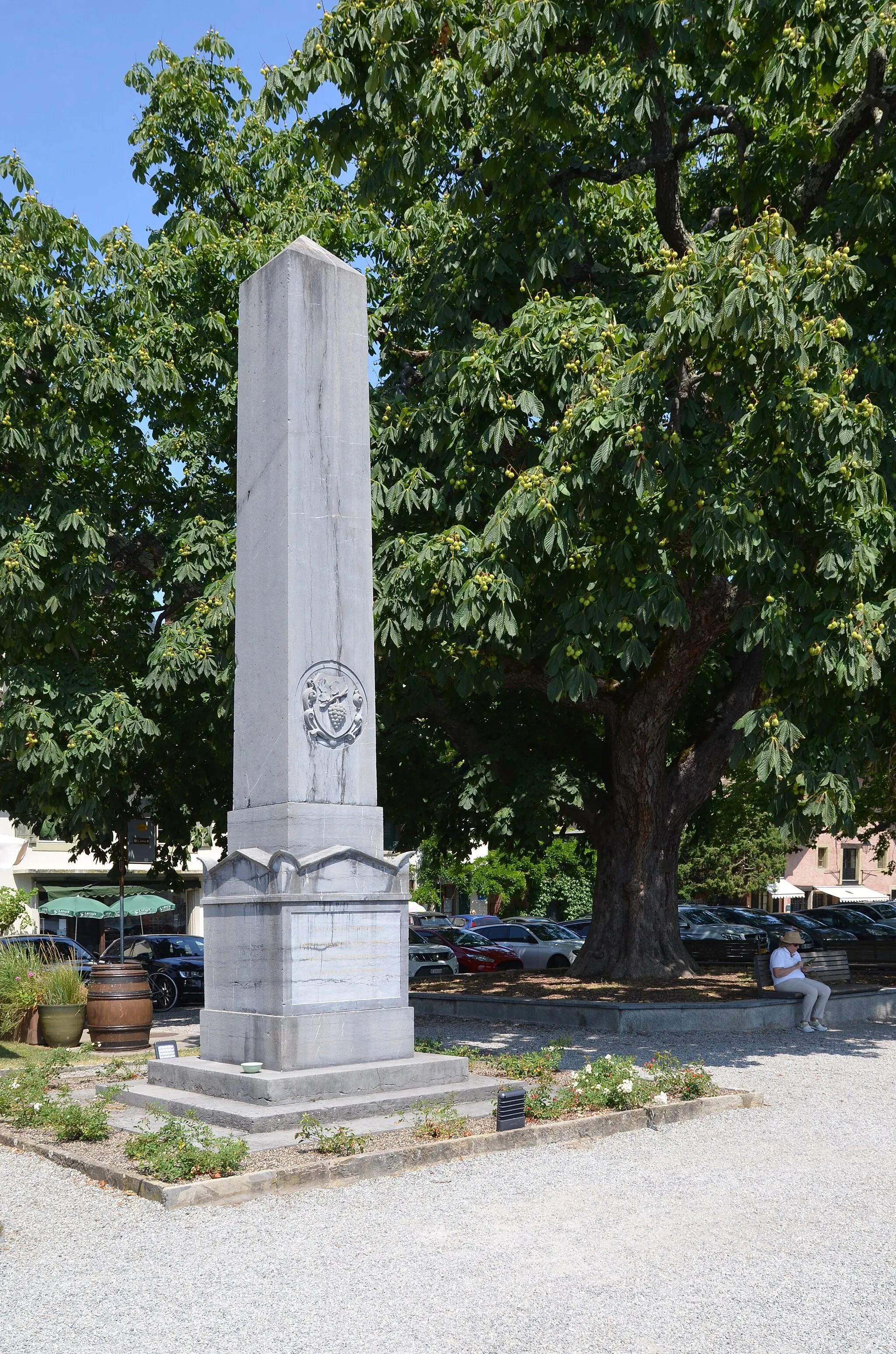
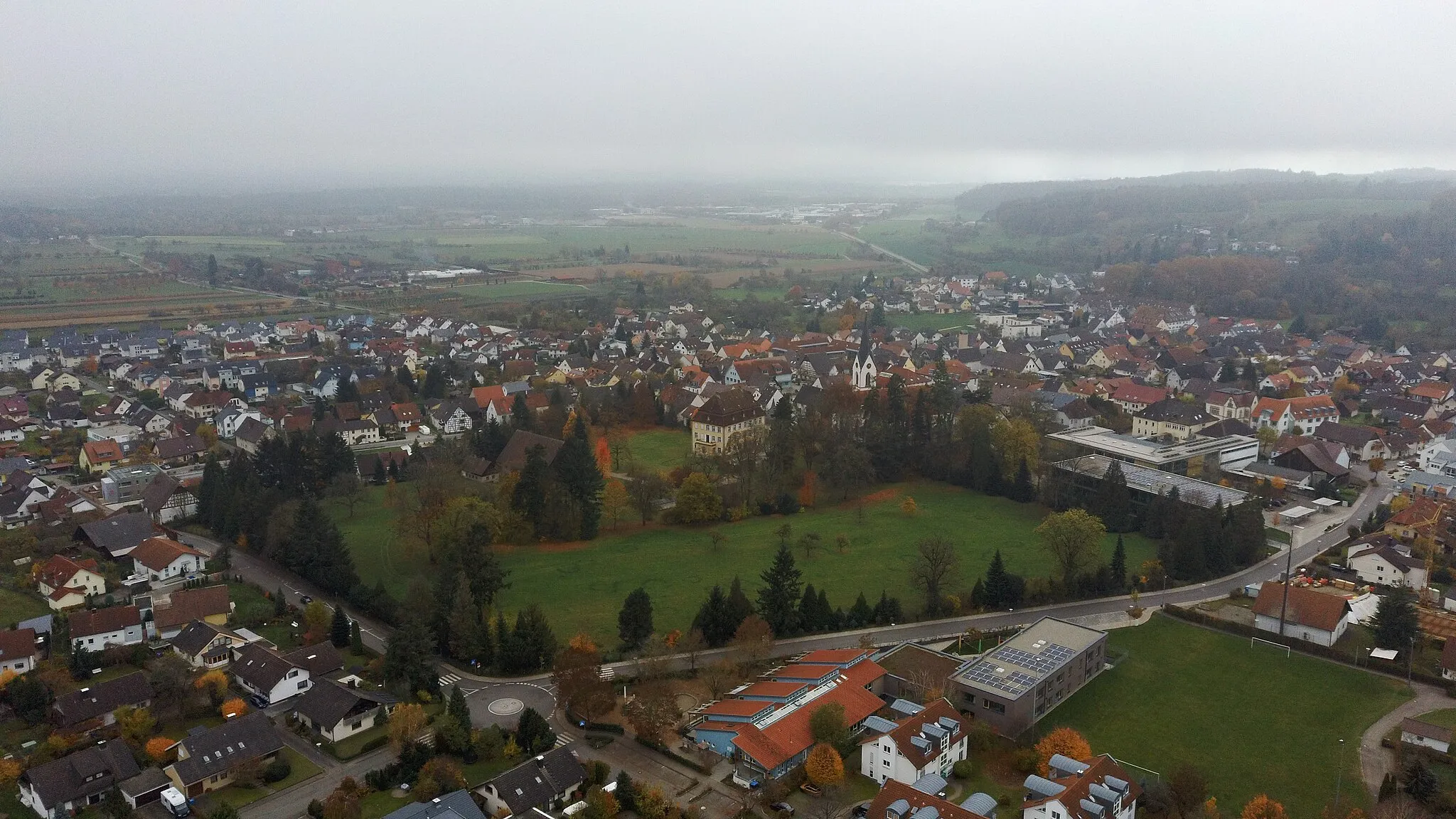
Cernier is a cycling-friendly town in Espace Mittelland, Switzerland, known for its well-connected bike paths and scenic routes. Road cyclists can enjoy challenging climbs and fast descents in the surrounding hills, while gravel cyclists will appreciate the variety of off-road trails available. Famous climbs like Vue des Alpes are within reach from Cernier, making it a popular destination for cycling enthusiasts. The town itself offers cyclist-friendly amenities and accommodations for visitors.
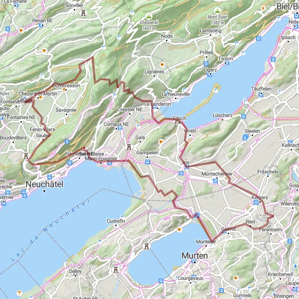
Explore the charming area around the Vully Lake on this picturesque gravel route.
Enjoy a scenic 86 km gravel ride with 1479 meters of ascent, passing through highlights such as Crêt-du-Puy and Mont Vully. Discover the beauty of Cernier and Saint-Blaise along the way.

Dlhá a náročná trasa plná kultúrnych skvostov
Táto cestná trasa prechádza historickými oblasťami ako Grandson a La Chaux-du-Milieu a ponúka jedinečný pohľad na okolité pamiatky. Celkovým vrcholom je stúpanie na Vue des Alpes s nadmorskou výškou 126 m a zostup do Les Hauts-Geneveys.
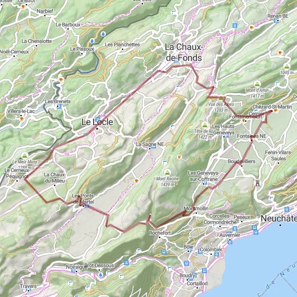
Scenic Gravel Loop around Mont Racine
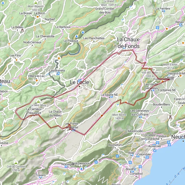
Immerse yourself in the beauty of the Mont Racine region on this scenic gravel loop.
Discover the natural wonders of the Mont Racine area on a 60 km gravel route with 1404 meters of ascent. Highlights include Mont Racine and Le Locle, offering picturesque views and charming villages along the way.
Embark on an epic ride to the summit of Col du Chasseral on this challenging road cycling route.
Conquer the 55 km route with 1465 meters of ascent, passing through highlights such as Col des Pontins and Lignières. Discover the scenic beauty of Diesse and Engollon along the way, making this ride a true cycling adventure.
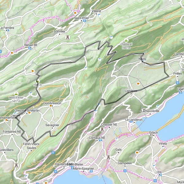
Gravel okruh cez horský hrebeň

Nezabudnuteľná cesta cez horské pasmo
Tento okruh ponúka nádherný výhľad z vrchu Vue des Alpes a prechádza cez malebné obce Les Breuleux a Saint-Imier. Celkovým vrcholom je stúpanie na Col des Pontins s nadmorskou výškou 52 m a následné klesanie do Dombresson.

Dlhá, no pôsobivá cesta plná kontrastov
Táto rozsiahla cestná trasa prechádza cez populárne turistické oblasti ako Fournet-Blancheroche a La Chaux-de-Fonds. Okruh vrcholí na Col de la Vierge s nadmorskou výškou 111 m a následným zostupom do Renan.

Zaujímavá cyklotrasa s viac ako 2500 metrov stúpania
Vychutnajte si 81 km dlhú cyklotrasu s úchvatnými výhľadmi a rôznorodými terénmi, vhodnou pre gravelové bicykle. Cestou môžete obdivovať pohorie Jura a malebné dedinky pod ním.
Road Tour of Lake Biel
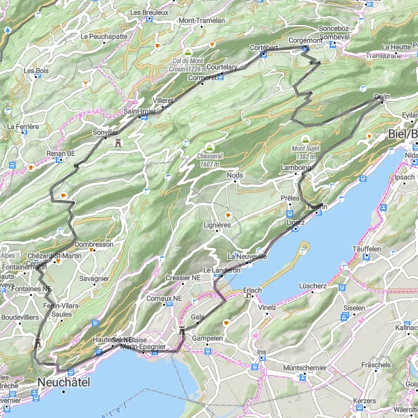
Experience the beauty of Lake Biel on this scenic road cycling tour.
Cycle 95 km with 2011 meters of ascent along the shores of Lake Biel, passing through charming towns like Courtelary and Neuchâtel. Enjoy panoramic views from Belvédère and Känzeli during your journey.

Conquer the rugged terrain of the Jura Mountains on this challenging road cycling route.
Embark on a 117 km road adventure with 3009 meters of ascent, passing through highlights such as La Chaux-de-Fonds and Col de la Vierge. Enjoy the stunning views from Fontainemelon and Sonvilier on your journey.
Krátka, no pôsobivá cesta plná prírodných krás
Tento kompaktný gravel okruh vedie cez malé dedinky ako Fontaines NE a Le Locle a poskytuje krásne výhľady na okolitú prírodu. Vrcholom je prechod cez Col des Roches s nadmorskou výškou 37 m.
Cyklistické trasy v okolí:
Blízke regióny: