![Cover image](https://images.tarmacs.app/cycling-routes/covers/austria/karnten/annabichl-3.webp)
Klídká cyklistika v Klagenfurtu
Cyklistické trasy kolem Annabichl
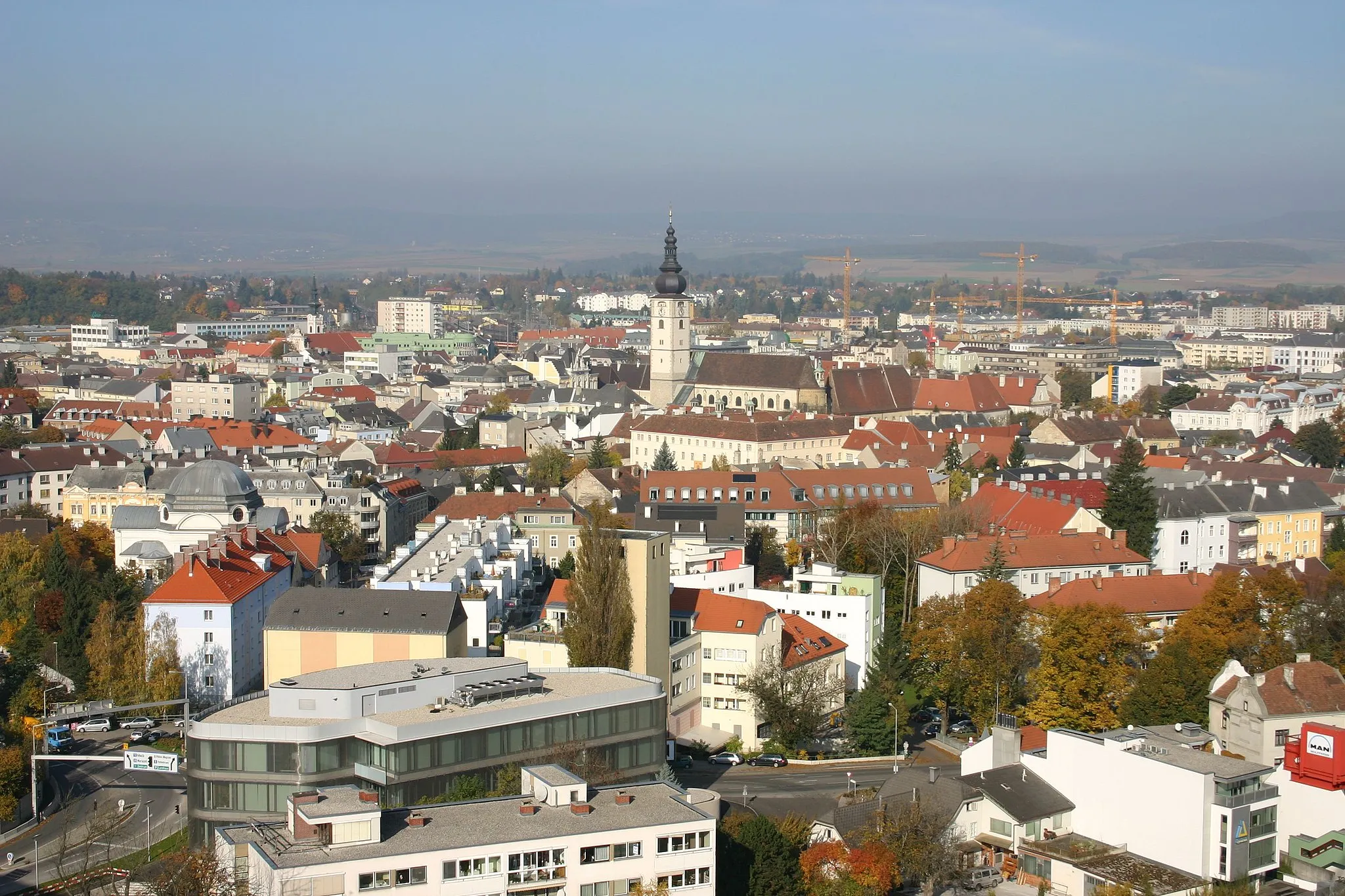
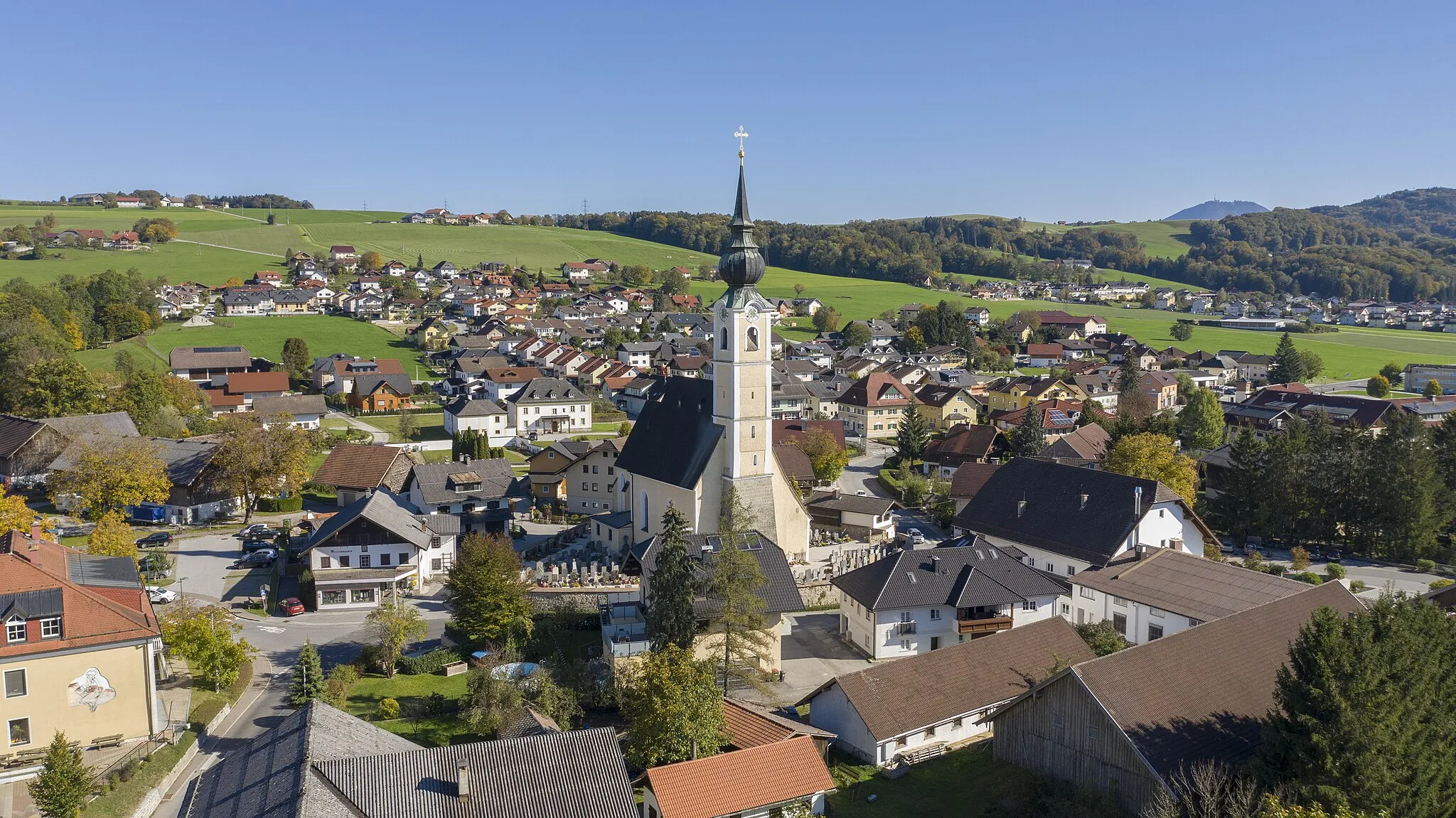
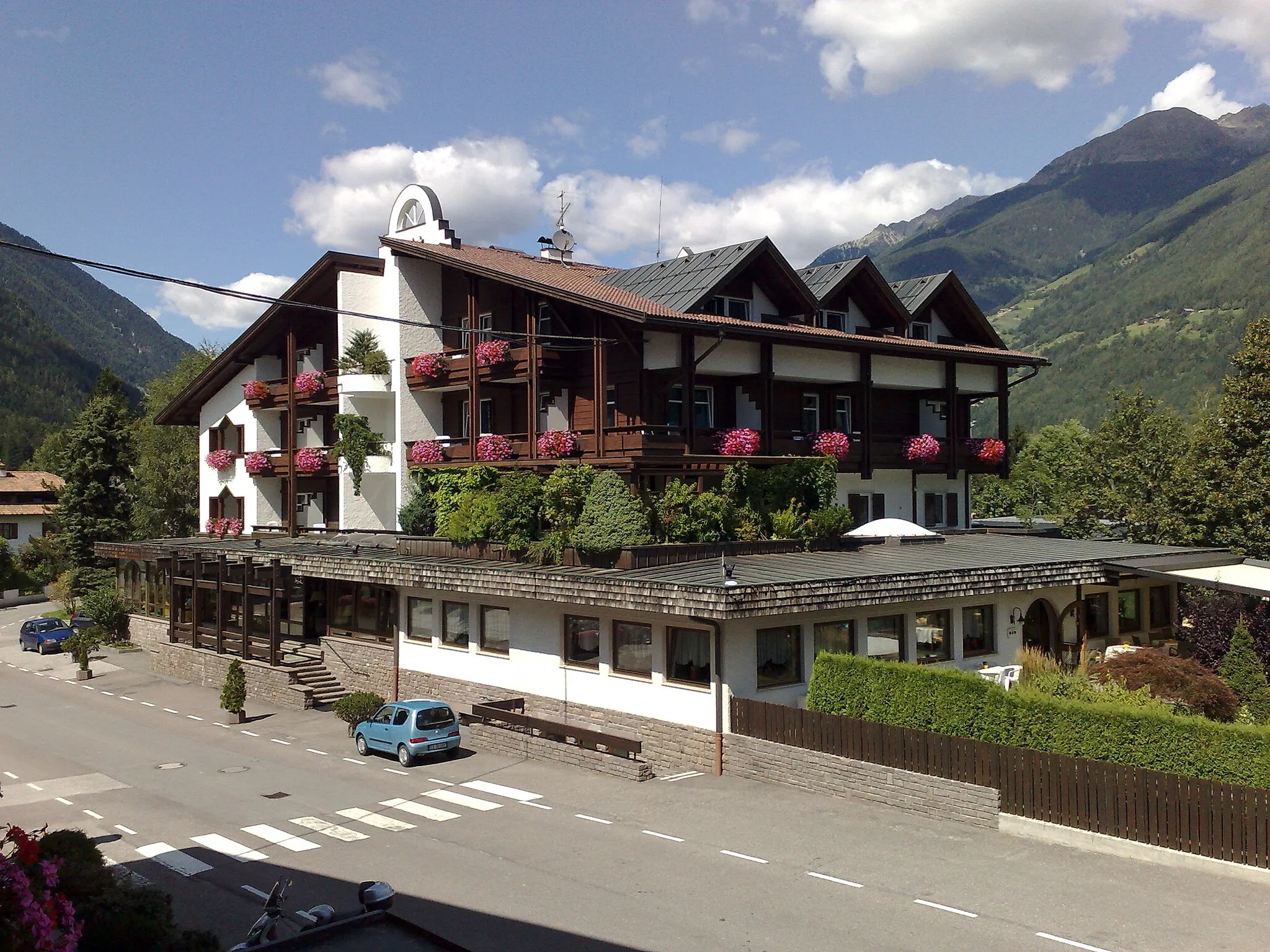
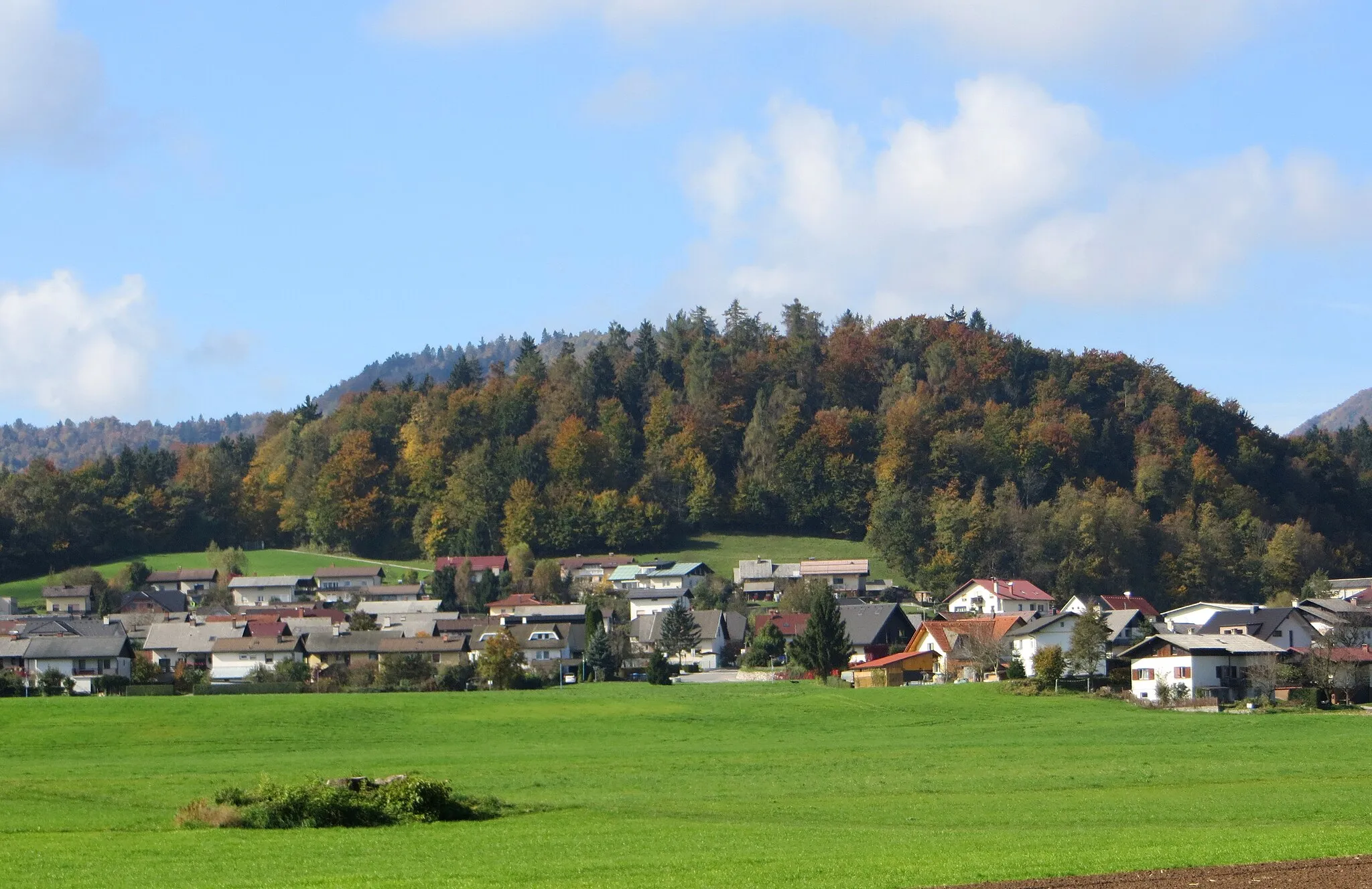
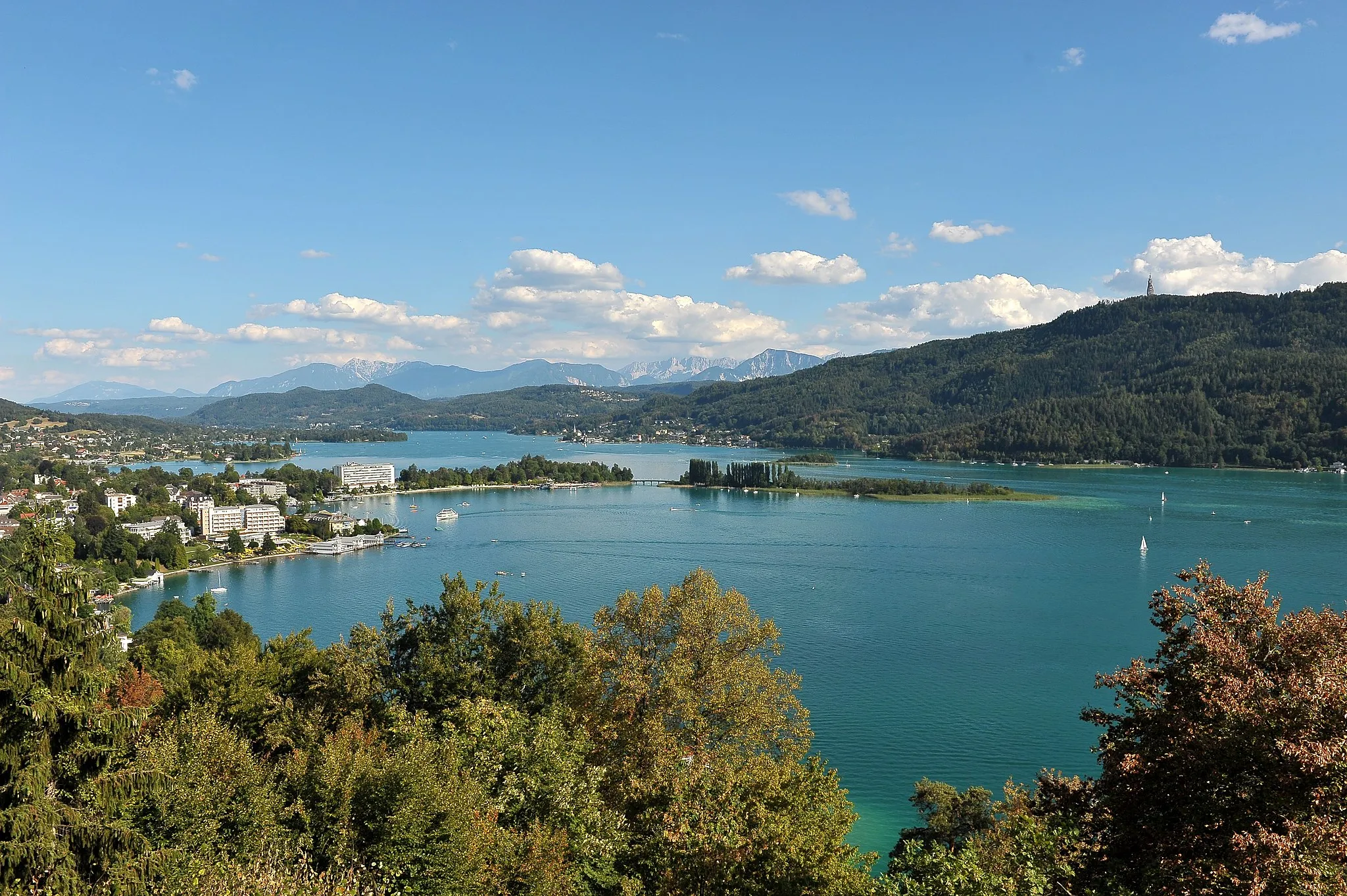
Annabichl je část města Klagenfurt v regionu Kärnten. Oblast nabízí klidné cyklovýlety po okolní krajině. V blízkosti je populární cyklostezka Klopeiner See Radweg.
Výlet kolem Annabichlu
![Miniaturní mapa "Výlet kolem Annabichlu" inspirace pro cyklisty v oblasti Kärnten, Austria. Vytvořeno pomocí plánovače tras Tarmacs.app](https://images.tarmacs.app/cycling-routes/routemaps/600/austria/karnten/annabichl/road/298002.webp)
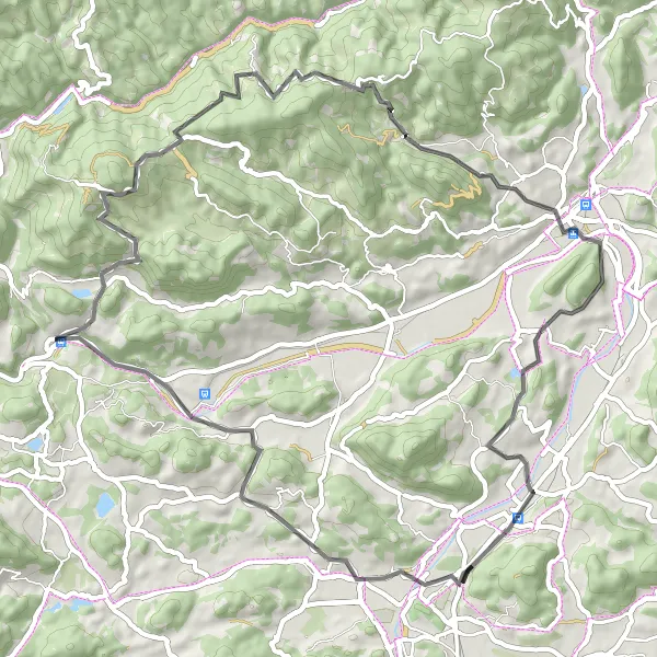
Náročná silniční trasa s 1924 m převýšení na 98 km
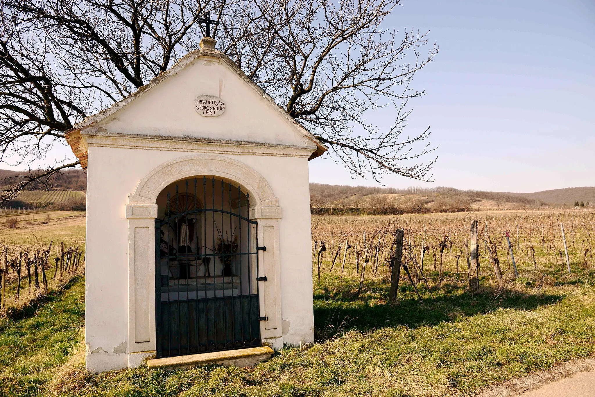
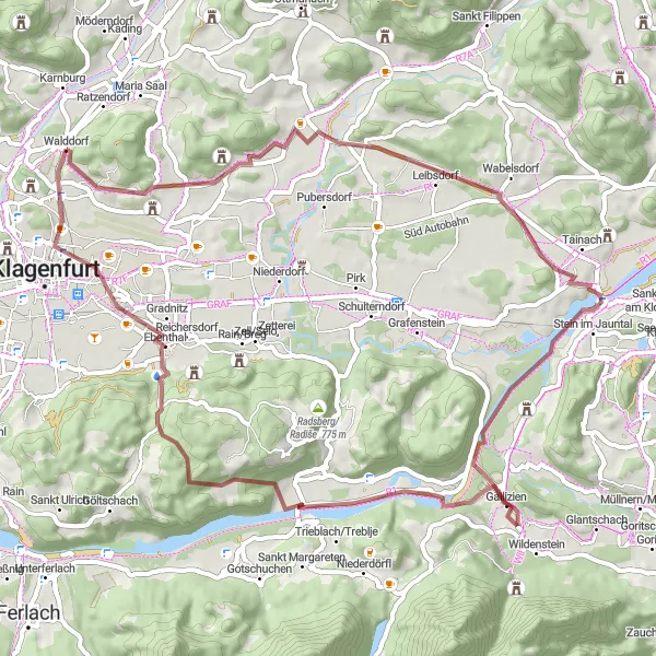
Tato výzva okolo Annabichlu vede kolem zajímavých míst jako jsou Spitalsberg, Debriacherkopf a Schloss Annabichl. Krásná krajina a historické památky zaručují nezapomenutelný zážitek.
![Miniaturní mapa "Exploration of Eselberg and Stein im Jauntal" inspirace pro cyklisty v oblasti Kärnten, Austria. Vytvořeno pomocí plánovače tras Tarmacs.app](https://images.tarmacs.app/cycling-routes/routemaps/600/austria/karnten/annabichl/gravel/297912.webp)
Diverse gravel ride through natural and cultural treasures
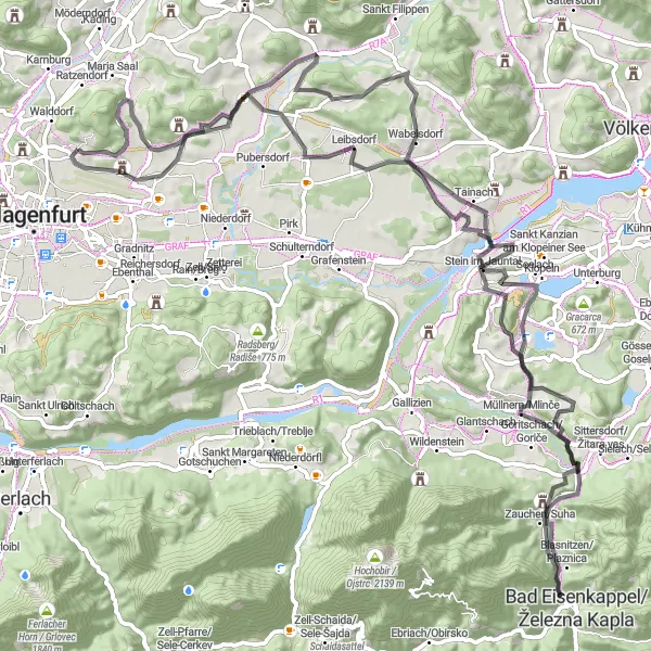
Venture on this 61 km gravel route with 674 m of ascent, passing through highlights such as Eselberg, Sankt Thomas, Langer Rain, and Stein im Jauntal. Discover the beauty of the picturesque countryside, forests, and charming villages along the way.
![Miniaturní mapa "Gravel route around Lake Ossiach" inspirace pro cyklisty v oblasti Kärnten, Austria. Vytvořeno pomocí plánovače tras Tarmacs.app](https://images.tarmacs.app/cycling-routes/routemaps/600/austria/karnten/annabichl/gravel/298000.webp)
Exciting ride through varied terrain and charming villages
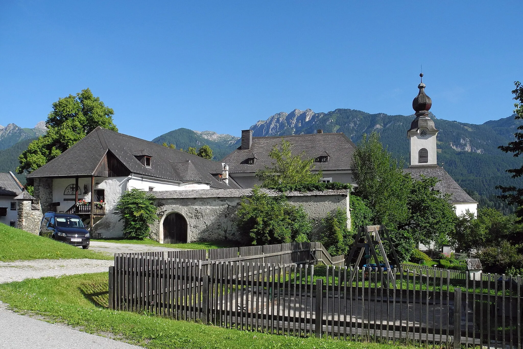
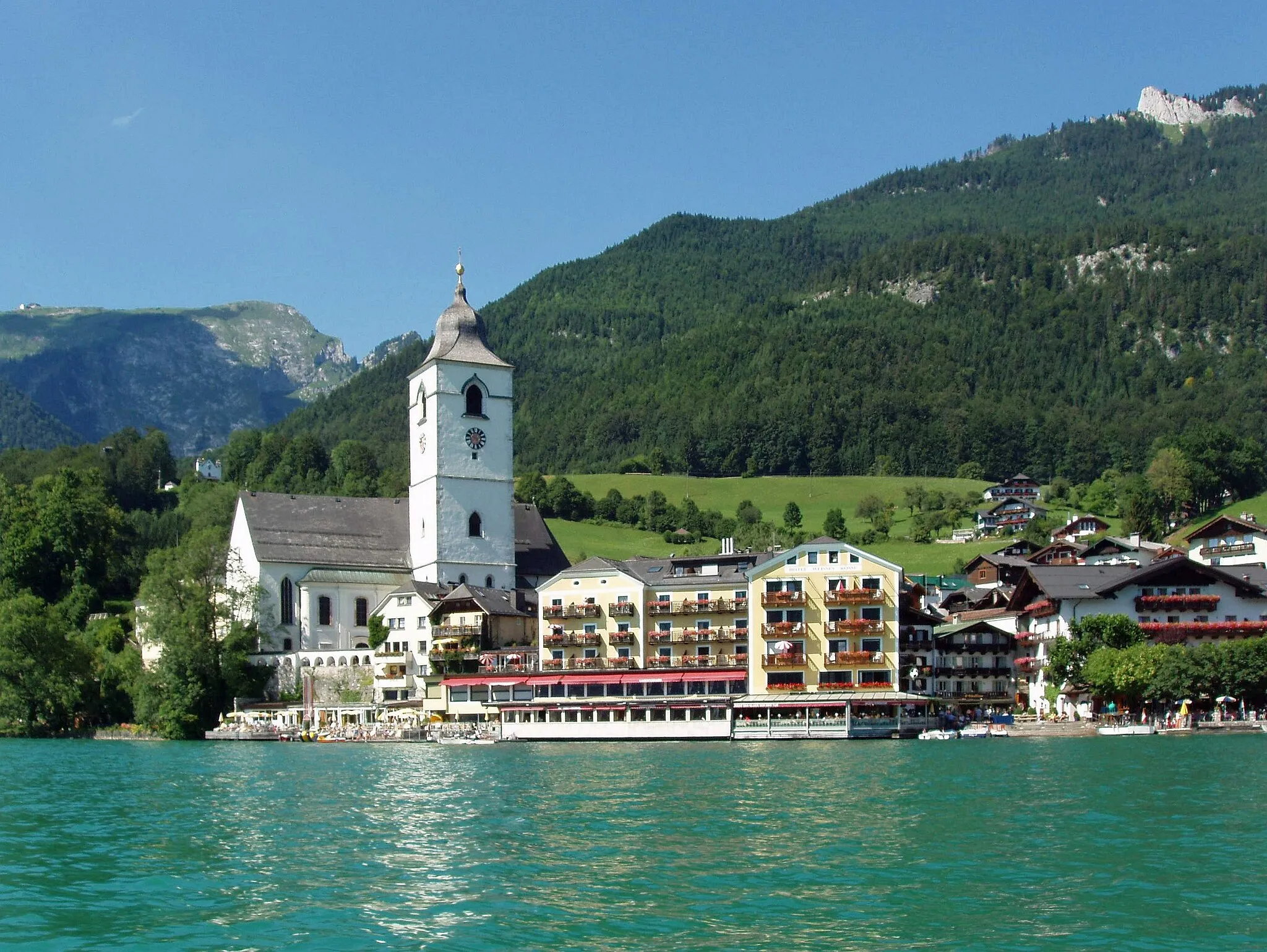
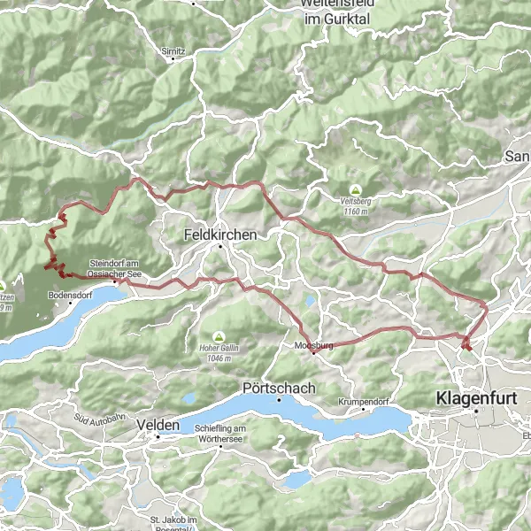
Embark on this 84 km gravel adventure with 1692 m of ascent. Enjoy highlights such as Ratzenegger Berg, Schloss Moosburg, and the stunning Lake Ossiach. Pass through Steindorf am Ossiacher See, Grilzberg, Himmelberg, Lantschnig, Zmuln, and Tessendorf for a memorable journey filled with picturesque views.
![Miniaturní mapa "Challenging gravel loop through Karnburg" inspirace pro cyklisty v oblasti Kärnten, Austria. Vytvořeno pomocí plánovače tras Tarmacs.app](https://images.tarmacs.app/cycling-routes/routemaps/600/austria/karnten/annabichl/gravel/297898.webp)
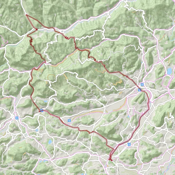
Epic adventure across diverse terrain and historic sites
Prepare for a challenging 90 km gravel ride with 1877 m of ascent. Explore highlights such as Zmuln, Zmulnberg, Schloss Lang, Glödnitz, and Brenitzberg. Ride through scenic landscapes, ancient forests, and past picturesque villages for an unforgettable cycling experience.
![Miniaturní mapa "Cyklotrasa přes Spitalsberg a Ferlach" inspirace pro cyklisty v oblasti Kärnten, Austria. Vytvořeno pomocí plánovače tras Tarmacs.app](https://images.tarmacs.app/cycling-routes/routemaps/600/austria/karnten/annabichl/road/297891.webp)
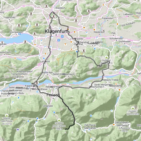
Náročná cesta s výhledy na Karavanky
Navštivte malebné městečko Ferlach, proslulé svými zbraněmi a noži, a užijte si panoramatický výhled na Karavanky. Průjezd kolem hradu Schloss Ebenthal a pohled na St. Veiter Vorstadt dodají trase historický nádech.
![Miniaturní mapa "Short gravel loop from Annabichl to Karnburg" inspirace pro cyklisty v oblasti Kärnten, Austria. Vytvořeno pomocí plánovače tras Tarmacs.app](https://images.tarmacs.app/cycling-routes/routemaps/600/austria/karnten/annabichl/gravel/297887.webp)
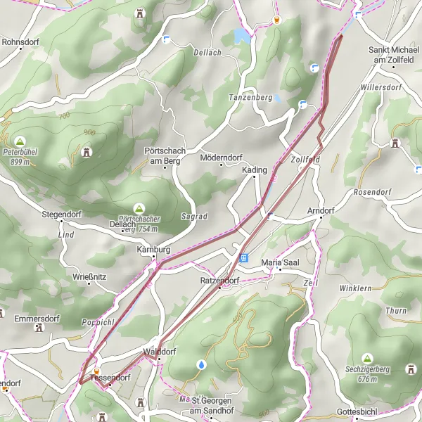
Brief but scenic ride through the countryside
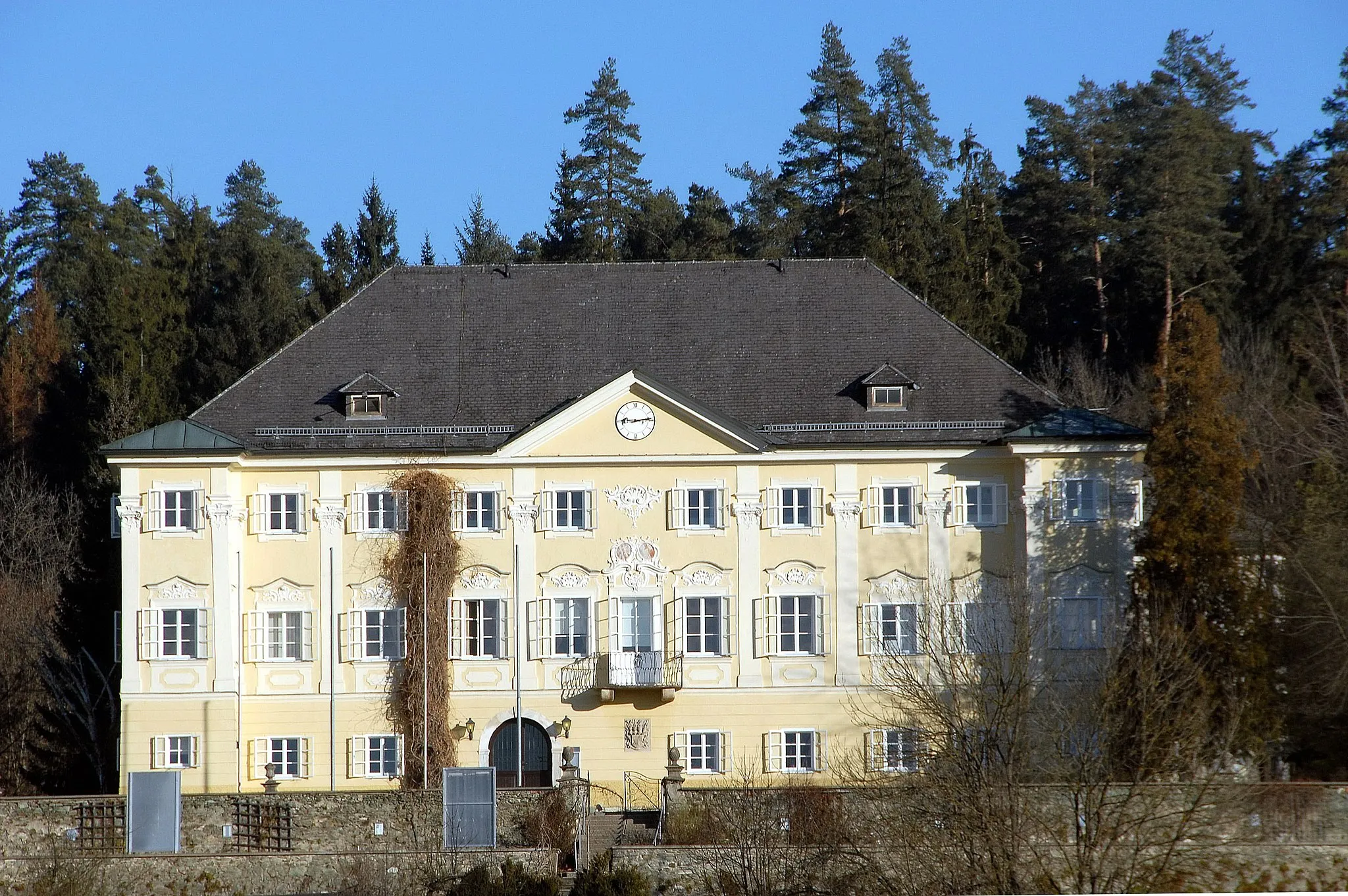
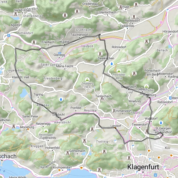
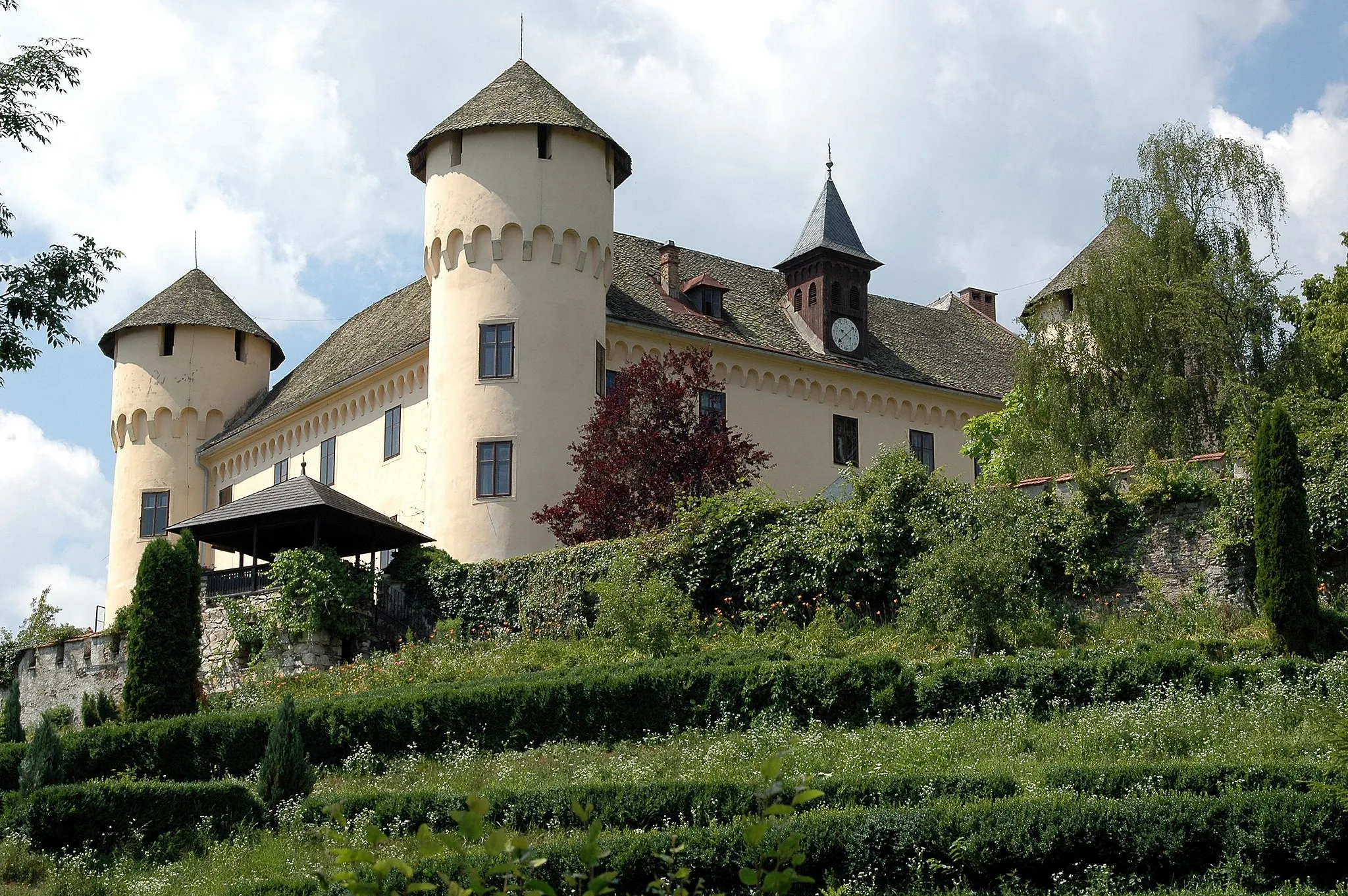
This 19 km gravel route with 29 m of ascent offers a quick getaway into nature. Explore highlights such as Karnburg, Ritzendorf, and the charming Schloss Annabichl. Enjoy a leisurely ride through the rolling hills and lush greenery of the area.
![Miniaturní mapa "Okružní cesta kolem Annabichlu" inspirace pro cyklisty v oblasti Kärnten, Austria. Vytvořeno pomocí plánovače tras Tarmacs.app](https://images.tarmacs.app/cycling-routes/routemaps/600/austria/karnten/annabichl/road/297981.webp)
Zajímavá silniční trasa s 1442 m převýšení na 65 km
Tato okružní trasa nabízí malebné výhledy na zámek Emmersdorf, zříceninu hradu Glanegg a Sankt Paul. Na území Kärntenu si můžete užít krásu přírody a historických památek.
![Miniaturní mapa "Panoramatická cesta kolem Annabichlu" inspirace pro cyklisty v oblasti Kärnten, Austria. Vytvořeno pomocí plánovače tras Tarmacs.app](https://images.tarmacs.app/cycling-routes/routemaps/600/austria/karnten/annabichl/road/297886.webp)
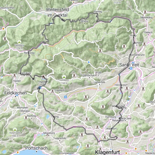
Náročná silniční trasa s 1228 m převýšením na 98 km
Tato okružní cesta nabízí pohled na Maria Saaler Berg, infoblick Stein a Aussichtspunkt Kitzelberg. Přírodní scenérie a historické památky jsou tady na dosah ruky.
![Miniaturní mapa "Road ride to Burgruine Glanegg" inspirace pro cyklisty v oblasti Kärnten, Austria. Vytvořeno pomocí plánovače tras Tarmacs.app](https://images.tarmacs.app/cycling-routes/routemaps/600/austria/karnten/annabichl/road/297894.webp)
Scenic road cycling exploring historical landmarks
Embark on this 42 km road route with 454 m of ascent. Visit highlights such as Spitalsberg, Lendorf, Seltenheimer Berg, and the impressive Burgruine Glanegg. Admire the stunning views of the surrounding countryside and historical sites along the way.
![Miniaturní mapa "Gravelová trasa přes Eselberg a Kossiach/Kozje" inspirace pro cyklisty v oblasti Kärnten, Austria. Vytvořeno pomocí plánovače tras Tarmacs.app](https://images.tarmacs.app/cycling-routes/routemaps/600/austria/karnten/annabichl/gravel/297984.webp)
Zajímavá cesta s významnými výhledy
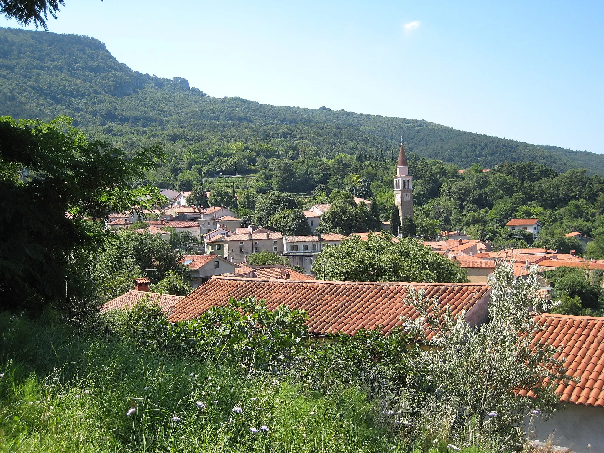
Projděte se po úchvatném Eselbergu a užijte si klidné okolí Stein im Jauntal. Cesta kolem Gallizien a Kossiach/Kozje nabídne pohledy na malebné venkovské scenérie a přírodní krásy.
Cyklotrasy v okolí:
![Obrázek St. Veiter Vorstadt](https://images.tarmacs.app/cycling-routes/covers/austria/karnten/st-veiter-vorstadt-5.webp)
![Obrázek Klagenfurt am Wörthersee](https://images.tarmacs.app/cycling-routes/covers/austria/karnten/klagenfurt-am-woerthersee-5.webp)
![Obrázek Villacher Vorstadt](https://images.tarmacs.app/cycling-routes/covers/austria/karnten/villacher-vorstadt-5.webp)
![Obrázek Viktringer Vorstadt](https://images.tarmacs.app/cycling-routes/covers/austria/karnten/viktringer-vorstadt-5.webp)
![Obrázek Wölfnitz](https://images.tarmacs.app/cycling-routes/covers/austria/karnten/woelfnitz-5.webp)
![Obrázek Hörtendorf](https://images.tarmacs.app/cycling-routes/covers/austria/karnten/hoertendorf-5.webp)
![Obrázek Viktring](https://images.tarmacs.app/cycling-routes/covers/austria/karnten/viktring-5.webp)
![Obrázek Krumpendorf](https://images.tarmacs.app/cycling-routes/covers/austria/karnten/krumpendorf-4.webp)
![Obrázek Pörtschach am Wörthersee](https://images.tarmacs.app/cycling-routes/covers/austria/karnten/poertschach-am-woerthersee-5.webp)
Okolní oblasti:
![Obrázek Burgenland](https://images.tarmacs.app/cycling-routes/covers/austria/burgenland/purbach-am-neusiedler-see-5.webp)
![Obrázek Niederösterreich](https://images.tarmacs.app/cycling-routes/covers/austria/niederosterreich/sankt-poelten-1.webp)
![Obrázek Vídeň](https://images.tarmacs.app/cycling-routes/covers/austria/wien/hietzing-4.webp)
![Obrázek Steiermark](https://images.tarmacs.app/cycling-routes/covers/austria/steiermark/haus-im-ennstal-5.webp)
![Obrázek Oberösterreich](https://images.tarmacs.app/cycling-routes/covers/austria/oberosterreich/sankt-wolfgang-im-salzkammergut-2.webp)
![Obrázek Salzburg](https://images.tarmacs.app/cycling-routes/covers/austria/salzburg/anthering-5.webp)
![Obrázek Tirol](https://images.tarmacs.app/cycling-routes/covers/austria/tirol/oberau-1.webp)
![Obrázek Vorarlberg](https://images.tarmacs.app/cycling-routes/covers/austria/vorarlberg/bartholomaeberg-4.webp)
![Obrázek Jihozápad](https://images.tarmacs.app/cycling-routes/covers/czech-republic/jihozapad/nova-vcelnice-5.webp)
![Obrázek Oberbayern](https://images.tarmacs.app/cycling-routes/covers/germany/oberbayern/engelsberg-5.webp)
![Obrázek Provincia Autonoma di Bolzano/Bozen](https://images.tarmacs.app/cycling-routes/covers/italy/provincia-autonoma-di-bolzano-bozen/gais-3.webp)
![Obrázek Veneto](https://images.tarmacs.app/cycling-routes/covers/italy/veneto/quinto-di-treviso-4.webp)
![Obrázek Friuli-Venezia Giulia](https://images.tarmacs.app/cycling-routes/covers/italy/friuli-venezia-giulia/dolina-5.webp)
![Obrázek Vzhodna Slovenija](https://images.tarmacs.app/cycling-routes/covers/slovenia/vzhodna-slovenija/store-3.webp)
![Obrázek Zahodna Slovenija](https://images.tarmacs.app/cycling-routes/covers/slovenia/zahodna-slovenija/medvode-4.webp)