![Cover image](https://images.tarmacs.app/cycling-routes/covers/austria/niederosterreich/kaltenleutgeben-5.webp)
Ideální místo pro relaxační jízdy na kole v Dolním Rakousku.
Cyklistické trasy kolem Kaltenleutgeben
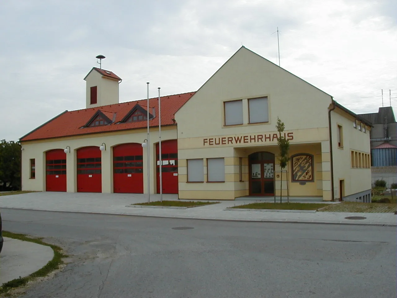
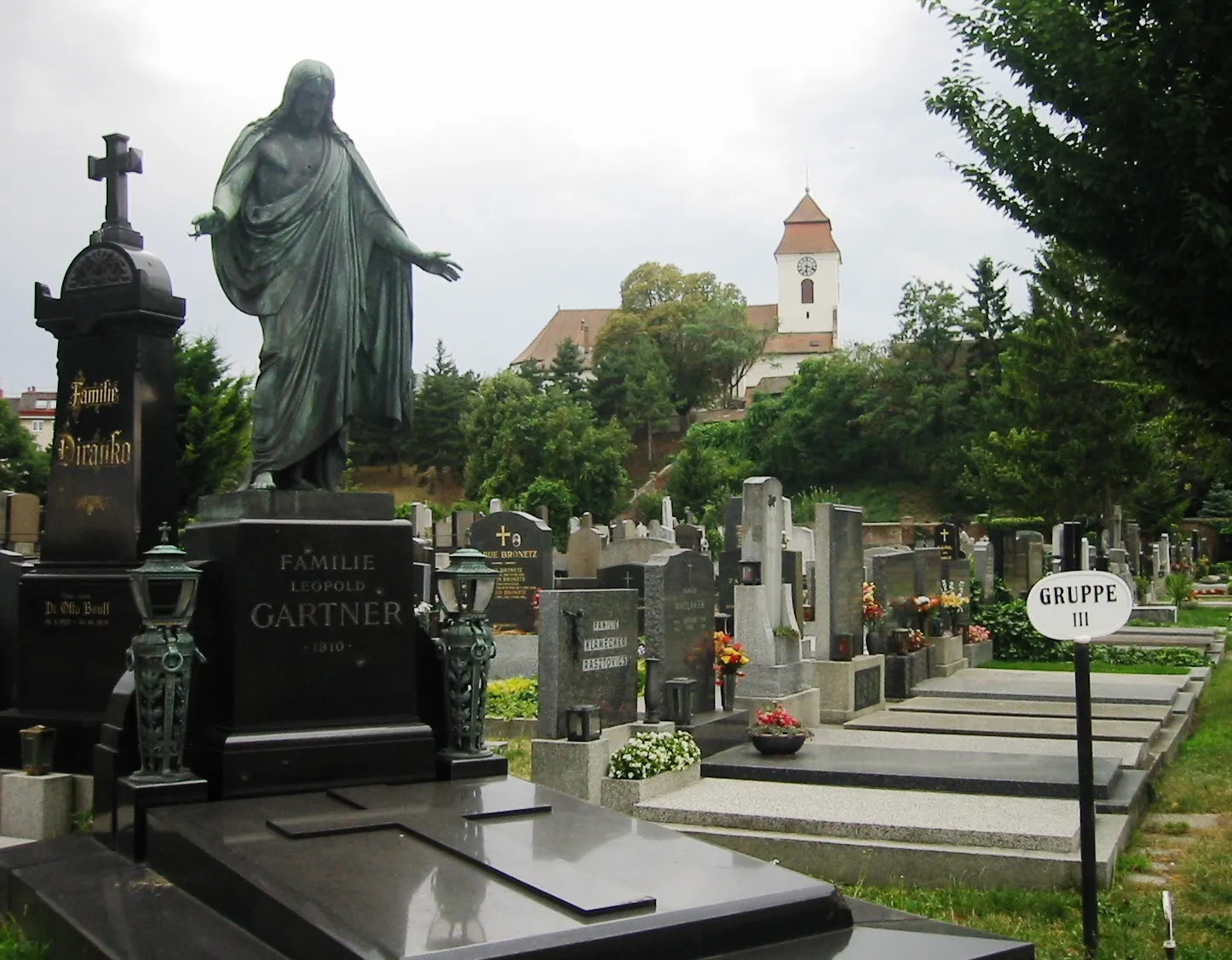
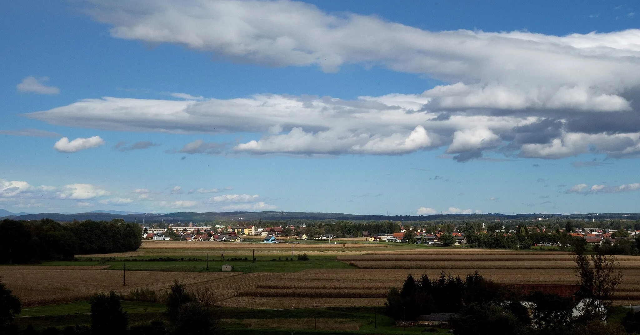
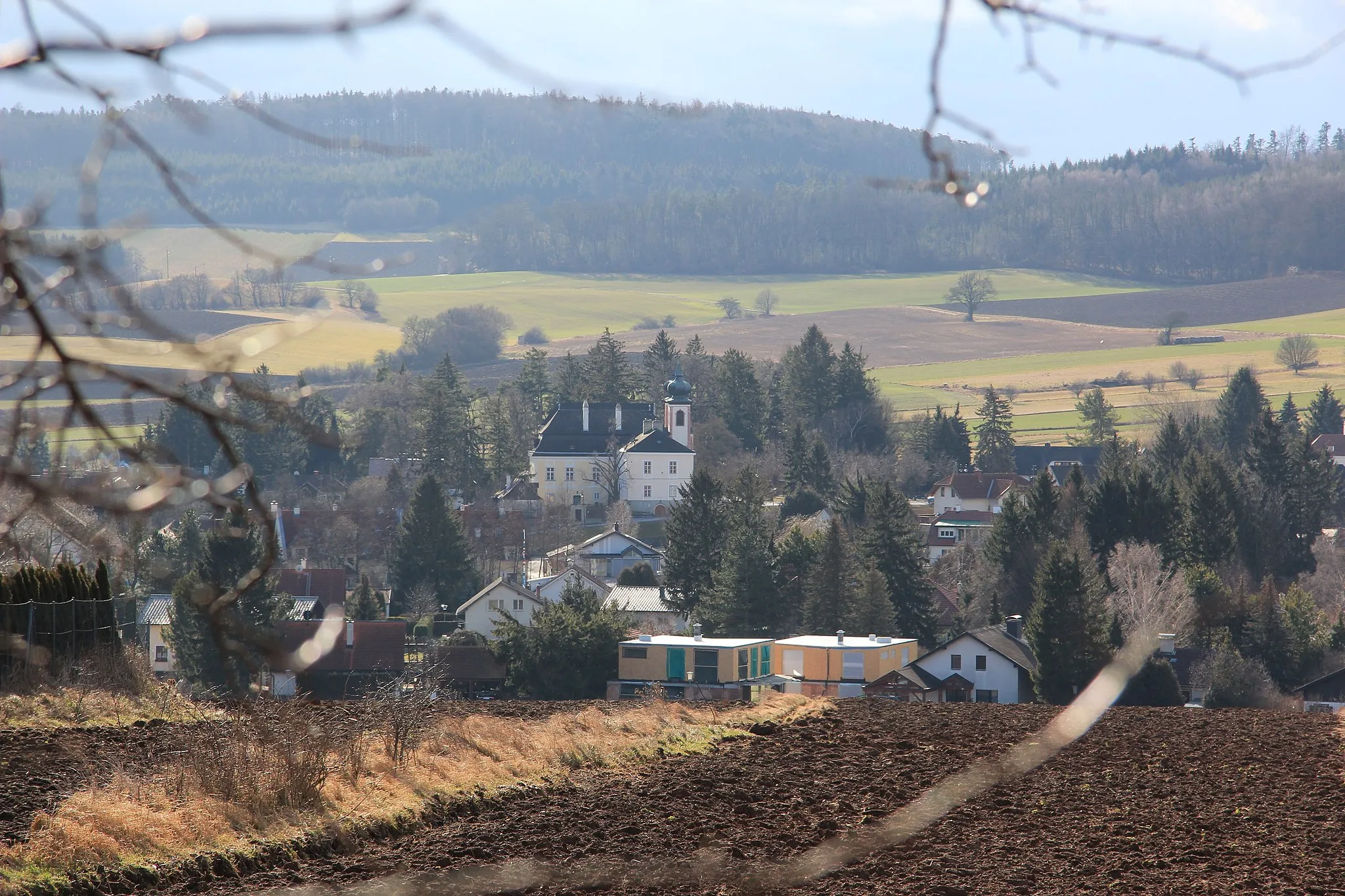
Kaltenleutgeben je klidná obec v Dolním Rakousku se spoustou cyklistických tras vhodných pro rodiny i nadšence. Okolní krajina nabízí krásné výhledy a klidné cesty pro silniční i gravel cyklisty.
![Miniaturní mapa "Okružní jízda na kole kolem Kaltenleutgebenu" inspirace pro cyklisty v oblasti Niederösterreich, Austria. Vytvořeno pomocí plánovače tras Tarmacs.app](https://images.tarmacs.app/cycling-routes/routemaps/600/austria/niederosterreich/kaltenleutgeben/road/187996.webp)
Vydejte se na dlouhou trasu plnou zajímavých míst a památek
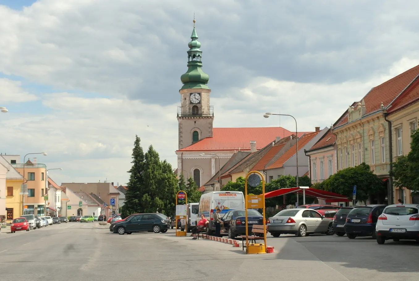
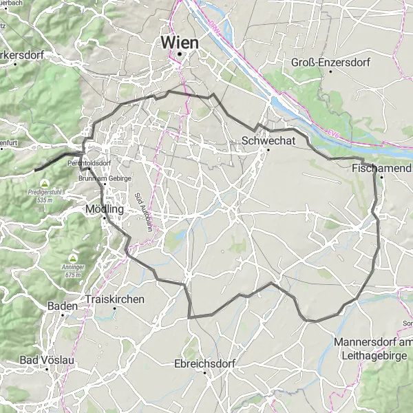
Trasa o délce 96 km a převýšení 388 m vás zavede kolem Kaltenleutgebenu, Steinbergu a Leberbergu. Navštivte Schwechat a užijte si krásný výhled ze Spotterpunkt Parkhaus 3. Další zastávky zahrnují Enzersdorf an der Fischa, Reisenberg a Guntramsdorf. Cestou se zastavte u Teichhügel a obdivujte krásnou scenérii kolem Brunn am Gebirge a Gugelhupf.
![Miniaturní mapa "Výlet na kole okolo Kaltenleutgebenu" inspirace pro cyklisty v oblasti Niederösterreich, Austria. Vytvořeno pomocí plánovače tras Tarmacs.app](https://images.tarmacs.app/cycling-routes/routemaps/600/austria/niederosterreich/kaltenleutgeben/road/188033.webp)
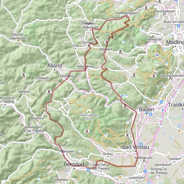
Vychutnejte si horskou cestu plnou významných památek
Trasa nabízí 73 km a převýšení 1239 m. Projdete okolo Totenkopfu, Weinbergu a Gaiskogelu. Výhledy na Weissenbach an der Triesting a Klausen-Leopoldsdorf. Zastavit se můžete v Gruberau a po cestě obdivovat Kleiner Winkelberg a Gaisberg.
![Miniaturní mapa "Cyklistická okružní trasa nedaleko Kaltenleutgebenu" inspirace pro cyklisty v oblasti Niederösterreich, Austria. Vytvořeno pomocí plánovače tras Tarmacs.app](https://images.tarmacs.app/cycling-routes/routemaps/600/austria/niederosterreich/kaltenleutgeben/road/187972.webp)
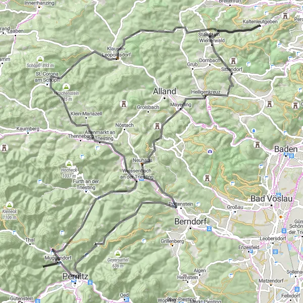
Vydejte se na náročnou trasu plnou zajímavých památek a překrásných výhledů
Trasa o délce 109 km a převýšení 2029 m vás zavede kolem Totenkopfu, Heiligenkreuzu a Weinbergu. Objevte malebné Pottenstein a projděte kolem Muggendorfu a Eichu. Další zastávky zahrnují Torstein, Altenmarkt an der Triesting a St. Corona am Schöpfl. Trasu zakončete u historického památného stromu - geschriebene Buche.
![Miniaturní mapa "Gravel Route to Peilstein" inspirace pro cyklisty v oblasti Niederösterreich, Austria. Vytvořeno pomocí plánovače tras Tarmacs.app](https://images.tarmacs.app/cycling-routes/routemaps/600/austria/niederosterreich/kaltenleutgeben/gravel/188078.webp)
Scenic gravel route with diverse terrain
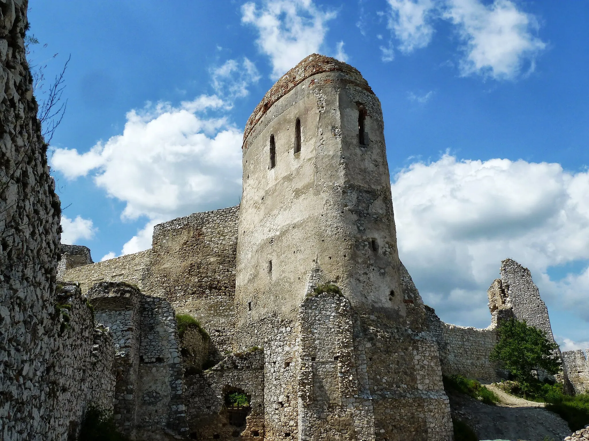
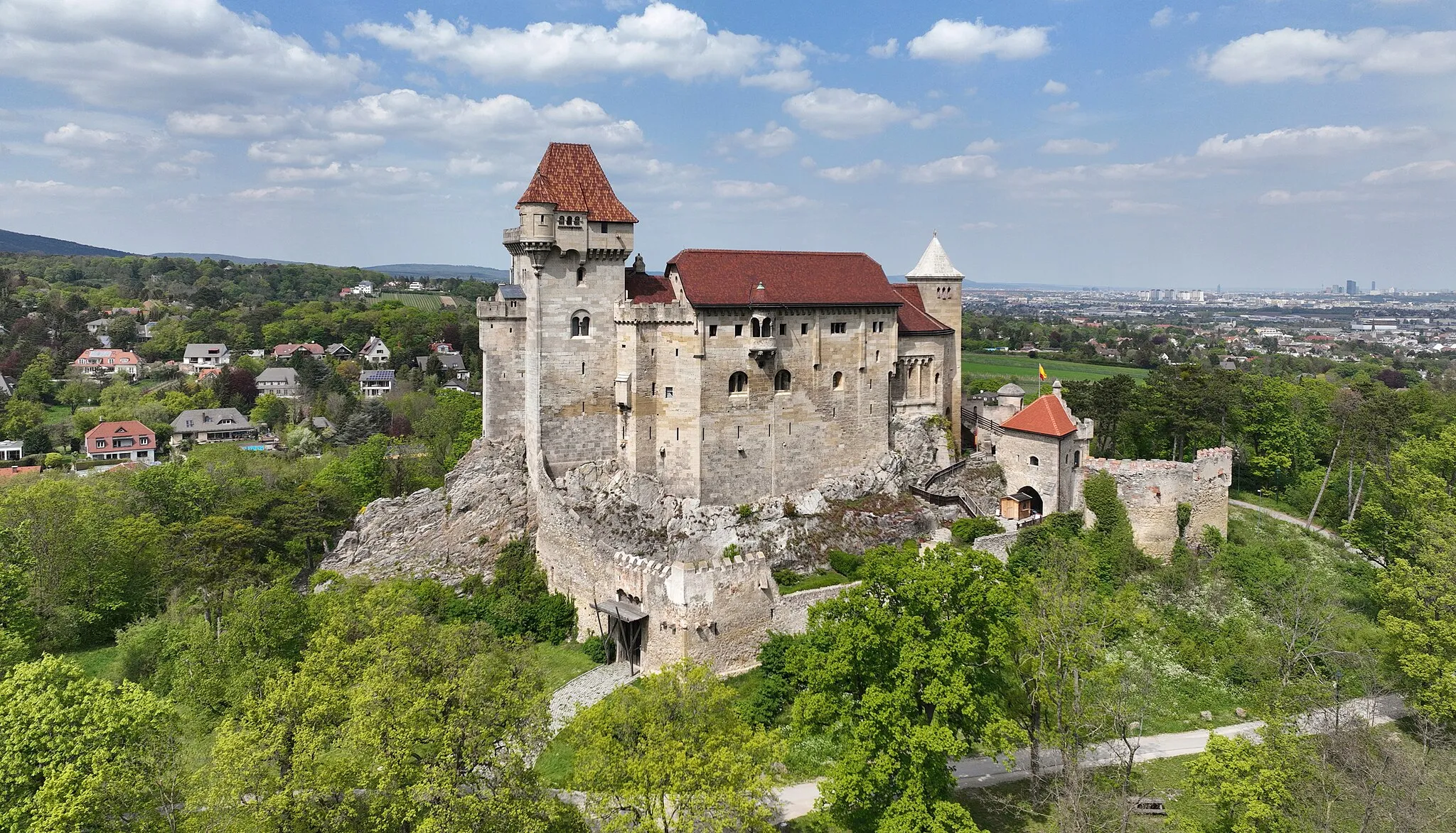
This 71 km gravel route with 1290 m of ascent offers breathtaking views and a variety of highlights along the way. From the majestic Höllenstein to the historic Burg Wildegg, cyclists will have plenty to explore. The route also passes by charming villages like Sooß and Guglzipf, with the challenging climb to Peilstein as a rewarding finale.
![Miniaturní mapa "Road Adventure to Pernitz" inspirace pro cyklisty v oblasti Niederösterreich, Austria. Vytvořeno pomocí plánovače tras Tarmacs.app](https://images.tarmacs.app/cycling-routes/routemaps/600/austria/niederosterreich/kaltenleutgeben/road/187940.webp)
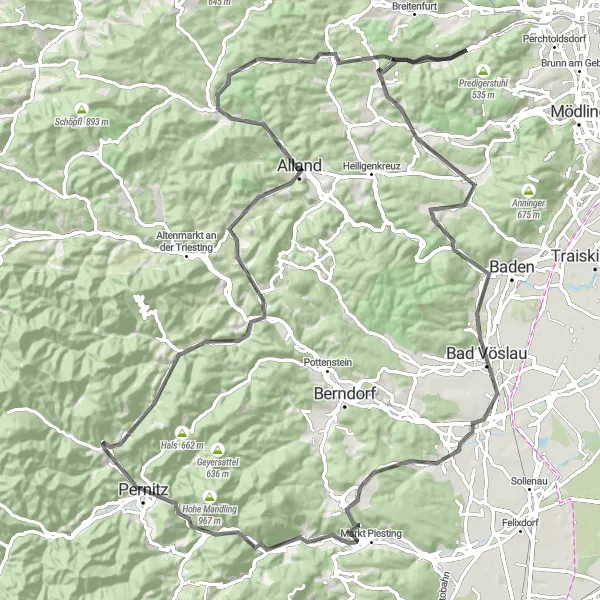
Embark on a thrilling road cycling adventure to Pernitz.
This 114 km road route near Kaltenleutgeben features 1722m of ascent and takes you through diverse landscapes and historical landmarks. Highlights include Totenkopf, Burg Wildegg, and Bad Vöslau. The route offers a mix of challenging climbs and fast descents, making it ideal for road cycling enthusiasts looking for a scenic and rewarding ride.
![Miniaturní mapa "Gravel trasa do Großer Flösslberg" inspirace pro cyklisty v oblasti Niederösterreich, Austria. Vytvořeno pomocí plánovače tras Tarmacs.app](https://images.tarmacs.app/cycling-routes/routemaps/600/austria/niederosterreich/kaltenleutgeben/gravel/188032.webp)
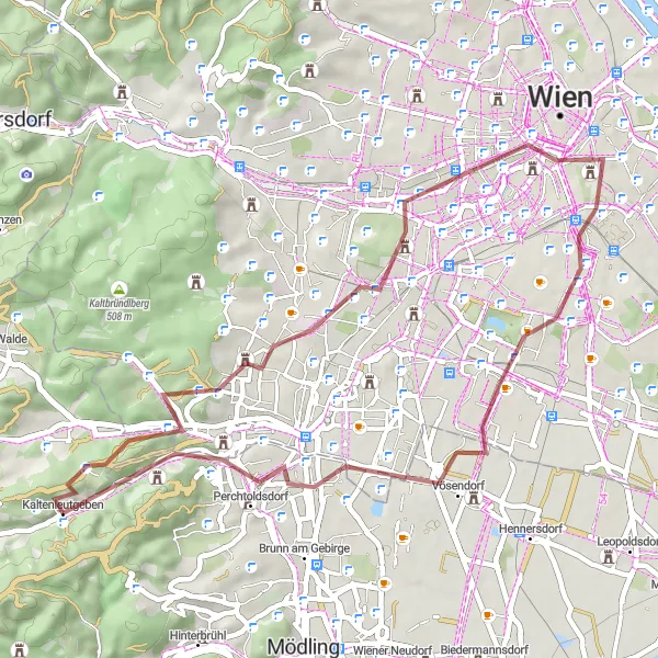
Prozkoumejte půvabné vesnice a malebné výhledy na této náročné trase
Tato trasa vede malebným prostředím a nabízí náročný terén pro zkušené cyklisty. S výstupem 503 m na 45 km se jedná o výzvu pro dobrodružné duše. Na trase se nachází mnoho zajímavých míst, například Steinberg nebo Gloriette.
![Miniaturní mapa "Gravel Excursion to Kahlenberg" inspirace pro cyklisty v oblasti Niederösterreich, Austria. Vytvořeno pomocí plánovače tras Tarmacs.app](https://images.tarmacs.app/cycling-routes/routemaps/600/austria/niederosterreich/kaltenleutgeben/gravel/187939.webp)
Embark on a scenic gravel ride to the historical Kahlenberg.
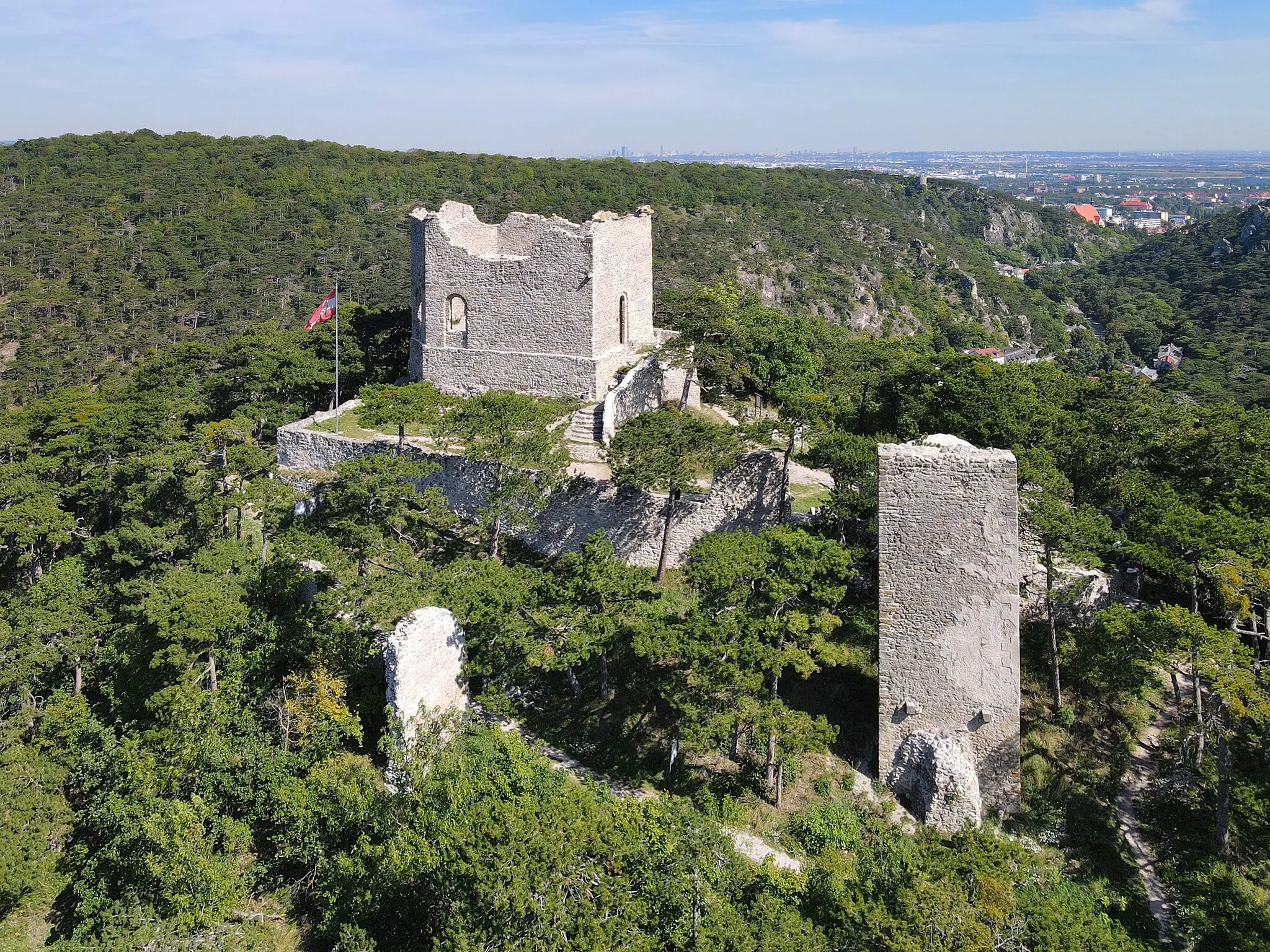
This 65 km gravel route near Kaltenleutgeben features 1276m of ascent and takes you through beautiful landscapes and historic sites. Highlights include Laab im Walde, Dreihufeisenberg, and Schloss Laudon. The route culminates at Kahlenberg, a picturesque hill overlooking Vienna with breathtaking views of the city and surrounding countryside.
![Miniaturní mapa "Okružní cyklistická trasa od Kaltenleutgebenu" inspirace pro cyklisty v oblasti Niederösterreich, Austria. Vytvořeno pomocí plánovače tras Tarmacs.app](https://images.tarmacs.app/cycling-routes/routemaps/600/austria/niederosterreich/kaltenleutgeben/road/187936.webp)
Náročná trasa plná malebných výhledů a zajímavých míst
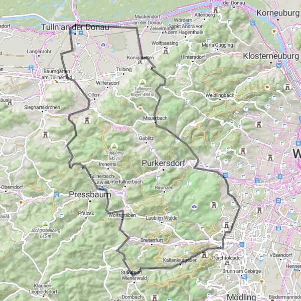
Tato 89km dlouhá trasa nabízí 1095m stoupání a projíždí okolo měst jako Tulln an der Donau a Sulz im Wienerwald. Mezi významná místa patří Tullnerbach-Lawies a Weinriegel. Trasa obsahuje také historickou lokalitu Tabor a malebnou oblast kolem Totenkopfu.
![Miniaturní mapa "Gravel Tour to Tulln an der Donau" inspirace pro cyklisty v oblasti Niederösterreich, Austria. Vytvořeno pomocí plánovače tras Tarmacs.app](https://images.tarmacs.app/cycling-routes/routemaps/600/austria/niederosterreich/kaltenleutgeben/gravel/187935.webp)
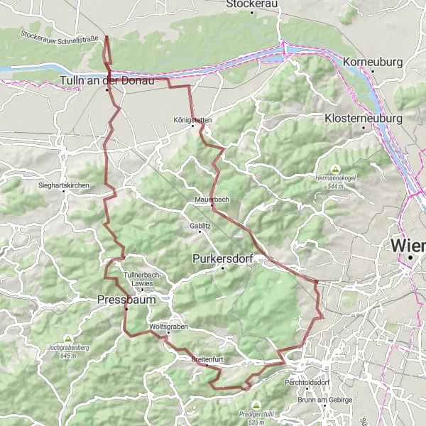
Enjoy the diverse landscape and historic highlights on this gravel route.
This 95 km gravel route near Kaltenleutgeben offers a challenging ride with 1492m of ascent. Along the way, you will pass through picturesque villages such as Tabor and Wipfing, as well as historical sites like Auberg and Wolfersberg. The highlight of the route is reaching Tulln an der Donau, a charming town on the banks of the Danube River.
![Miniaturní mapa "Gravel route to Kaiserbrunnberg" inspirace pro cyklisty v oblasti Niederösterreich, Austria. Vytvořeno pomocí plánovače tras Tarmacs.app](https://images.tarmacs.app/cycling-routes/routemaps/600/austria/niederosterreich/kaltenleutgeben/gravel/187917.webp)
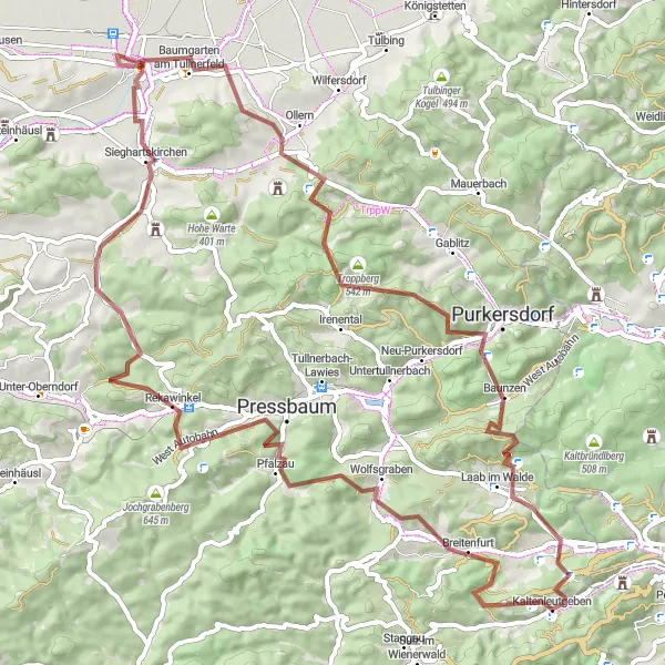
Explore the rugged terrain and picturesque landscapes on this challenging gravel route
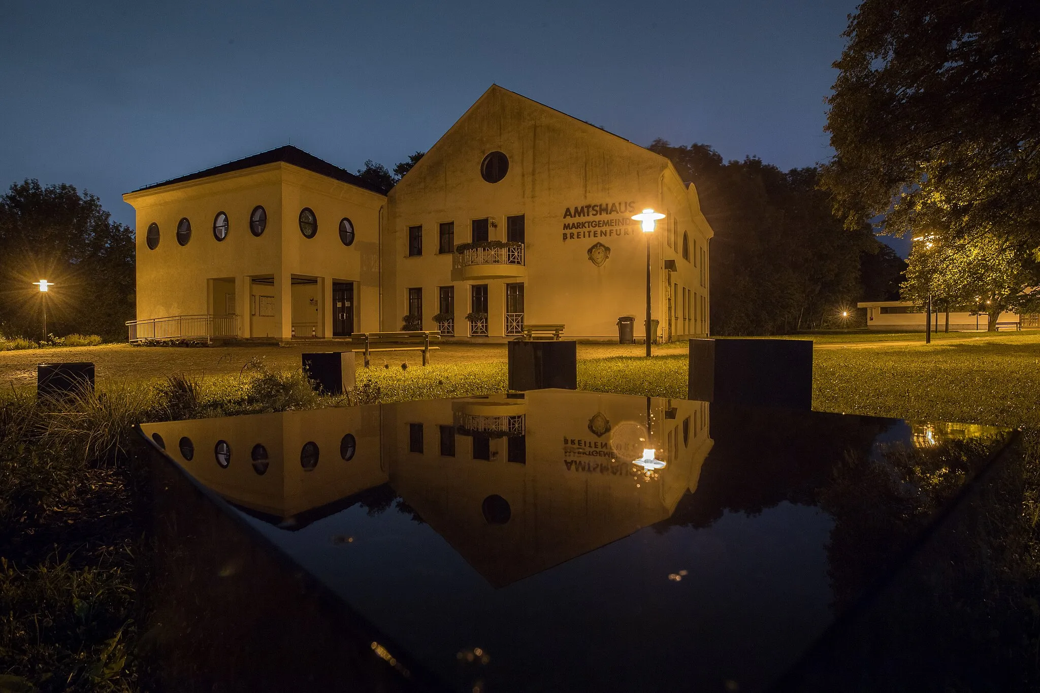
Tato cyklotrasa nabízí náročný terén a malebné krajiny. S výstupem o 1611 m a vzdáleností 79 km je to skvělá výzva pro dobrodružné cyklisty. Okouzlující cíl na trase je Breitenfurt.
Cyklotrasy v okolí:
![Obrázek Gießhübl](https://images.tarmacs.app/cycling-routes/covers/austria/niederosterreich/giesshuebl-5.webp)
![Obrázek Breitenfurt bei Wien](https://images.tarmacs.app/cycling-routes/covers/austria/niederosterreich/breitenfurt-bei-wien-4.webp)
![Obrázek Hinterbrühl](https://images.tarmacs.app/cycling-routes/covers/austria/niederosterreich/hinterbruehl-4.webp)
![Obrázek Perchtoldsdorf](https://images.tarmacs.app/cycling-routes/covers/austria/niederosterreich/perchtoldsdorf-5.webp)
![Obrázek Brunn am Gebirge](https://images.tarmacs.app/cycling-routes/covers/austria/niederosterreich/brunn-am-gebirge-5.webp)
![Obrázek Maria Enzersdorf](https://images.tarmacs.app/cycling-routes/covers/austria/niederosterreich/maria-enzersdorf-5.webp)
![Obrázek Gaaden](https://images.tarmacs.app/cycling-routes/covers/austria/niederosterreich/gaaden-5.webp)
![Obrázek Mödling](https://images.tarmacs.app/cycling-routes/covers/austria/niederosterreich/moedling-5.webp)
![Obrázek Wolfsgraben](https://images.tarmacs.app/cycling-routes/covers/austria/niederosterreich/wolfsgraben-4.webp)
Okolní oblasti:
![Obrázek Burgenland](https://images.tarmacs.app/cycling-routes/covers/austria/burgenland/nickelsdorf-4.webp)
![Obrázek Vídeň](https://images.tarmacs.app/cycling-routes/covers/austria/wien/simmering-5.webp)
![Obrázek Kärnten](https://images.tarmacs.app/cycling-routes/covers/austria/karnten/viktringer-vorstadt-2.webp)
![Obrázek Steiermark](https://images.tarmacs.app/cycling-routes/covers/austria/steiermark/leitring-4.webp)
![Obrázek Oberösterreich](https://images.tarmacs.app/cycling-routes/covers/austria/oberosterreich/kirchdorf-an-der-krems-2.webp)
![Obrázek Středočeský kraj](https://images.tarmacs.app/cycling-routes/covers/czech-republic/stredni-cechy/mestec-kralove-2.webp)
![Obrázek Jihozápad](https://images.tarmacs.app/cycling-routes/covers/czech-republic/jihozapad/chlumcany-5.webp)
![Obrázek Jihovýchod](https://images.tarmacs.app/cycling-routes/covers/czech-republic/jihovychod/dolni-kounice-2.webp)
![Obrázek Střední Morava](https://images.tarmacs.app/cycling-routes/covers/czech-republic/stredni-morava/sumice-4.webp)
![Obrázek Nyugat-Dunántúl](https://images.tarmacs.app/cycling-routes/covers/hungary/nyugat-dunantul/cserszegtomaj-4.webp)
![Obrázek Bratislavský kraj](https://images.tarmacs.app/cycling-routes/covers/slovakia/bratislavsky-kraj/modra-3.webp)
![Obrázek Západné Slovensko](https://images.tarmacs.app/cycling-routes/covers/slovakia/zapadne-slovensko/cachtice-5.webp)