Ideální místo pro objevování rakouského venkova na kole.
Cyklistické trasy kolem Koenigstetten
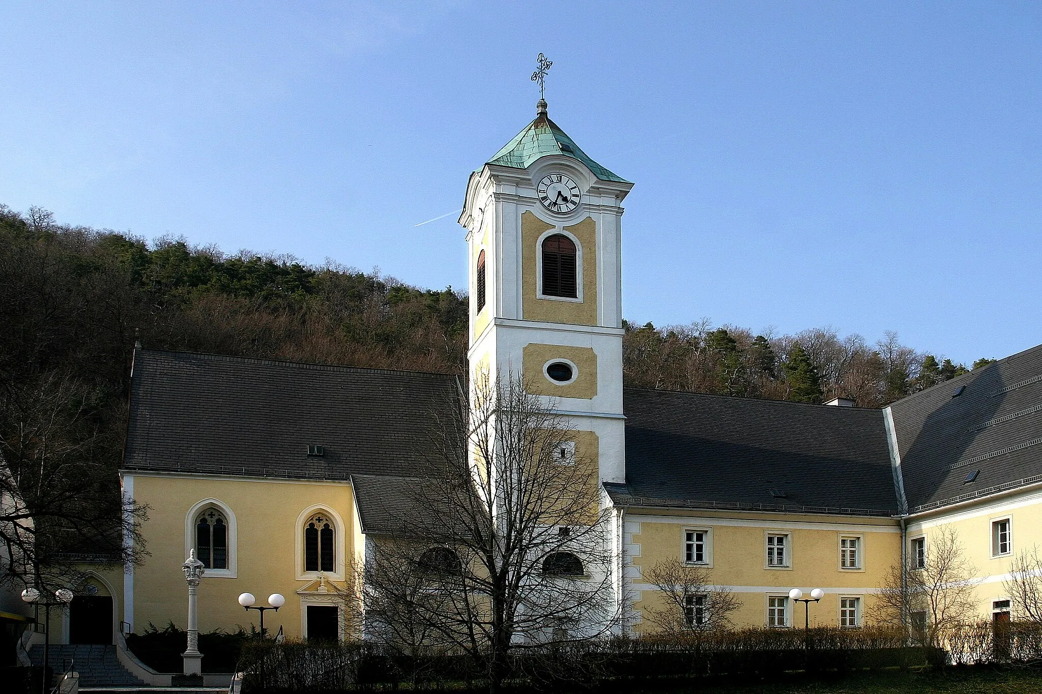
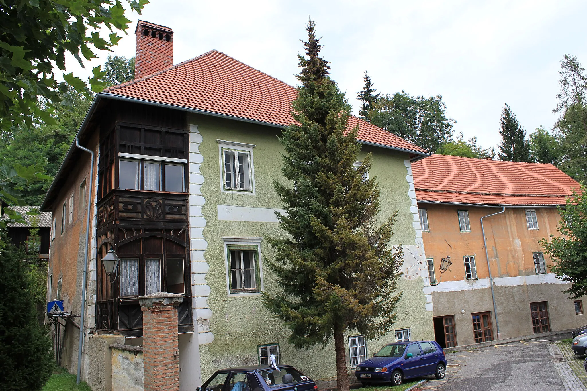
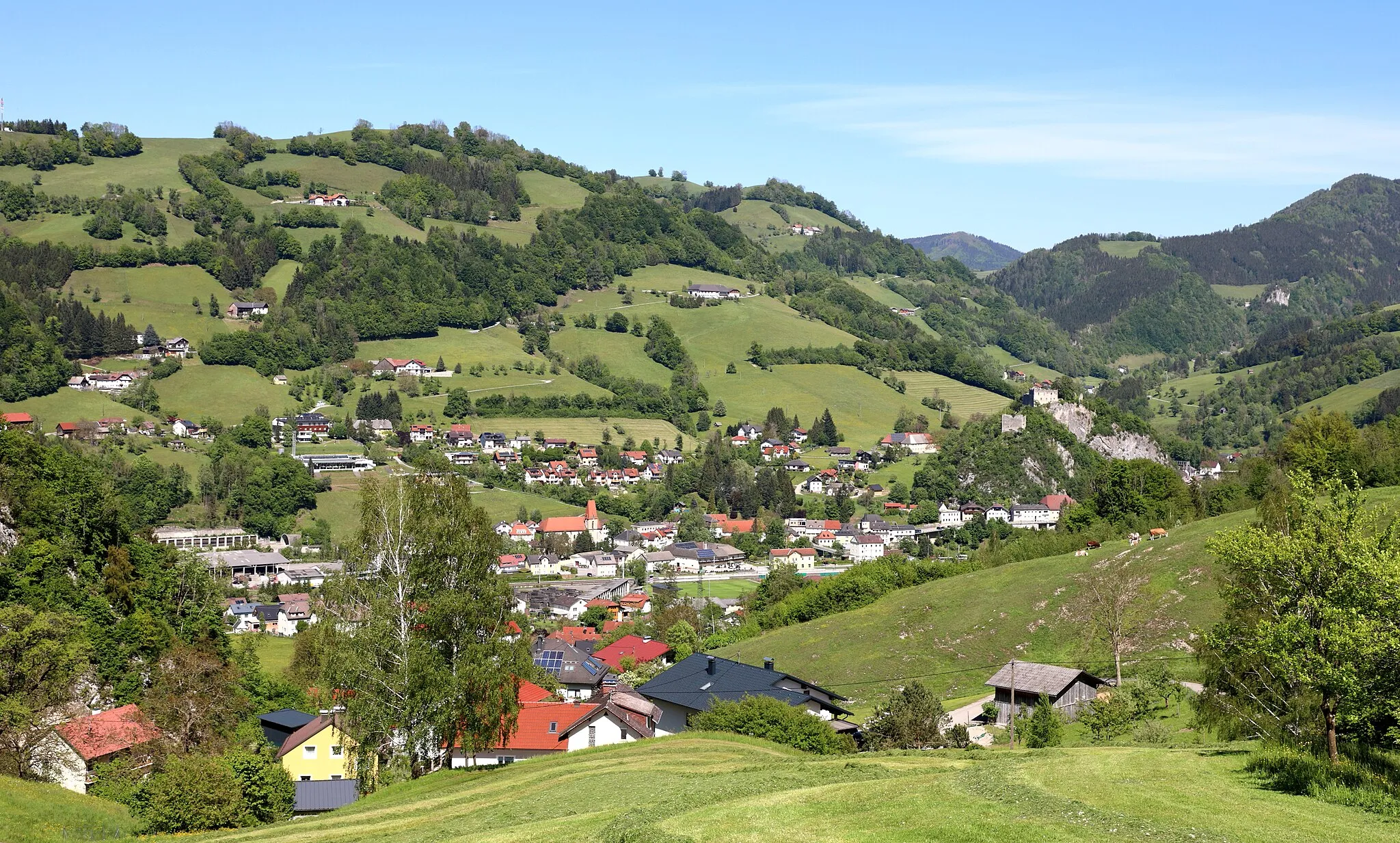
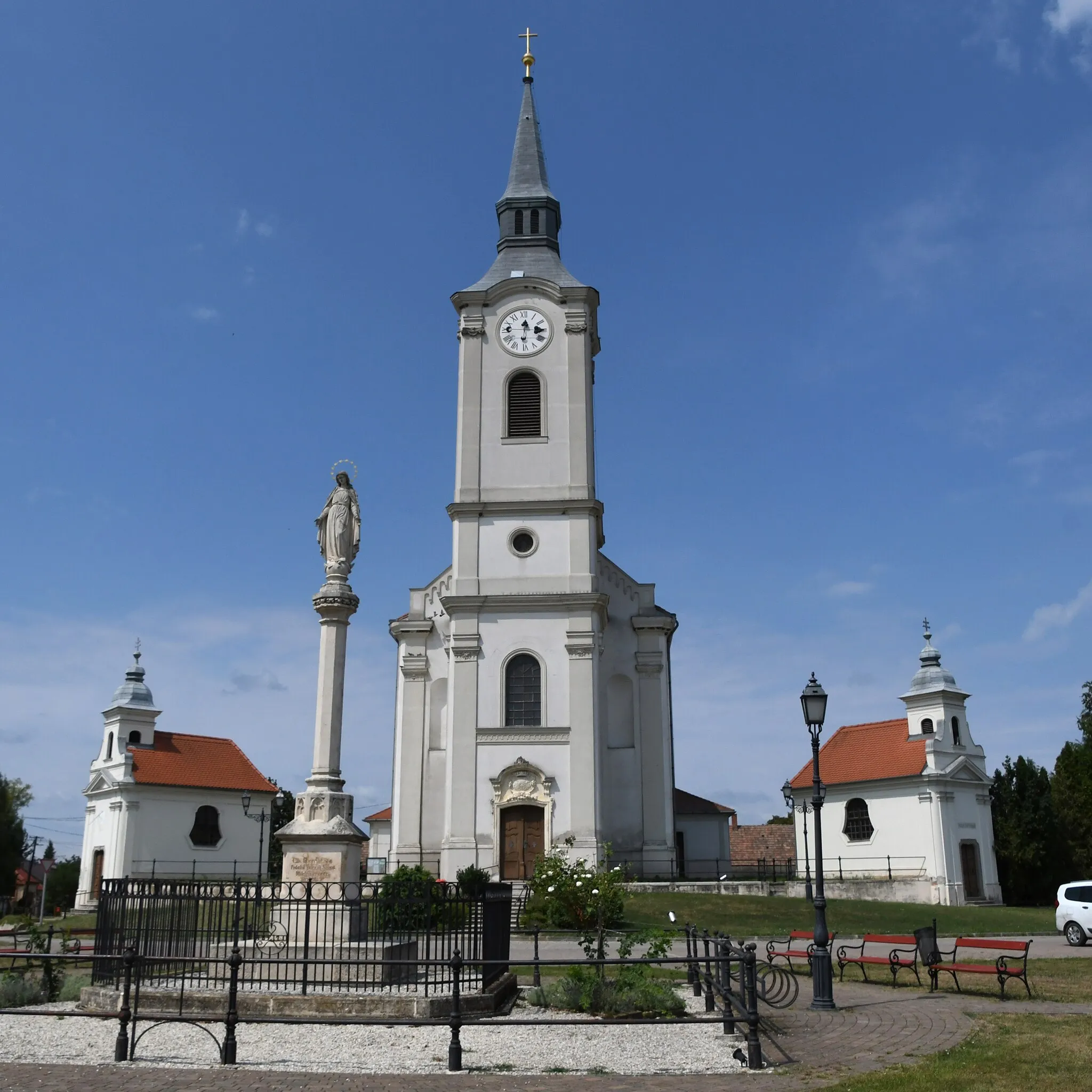
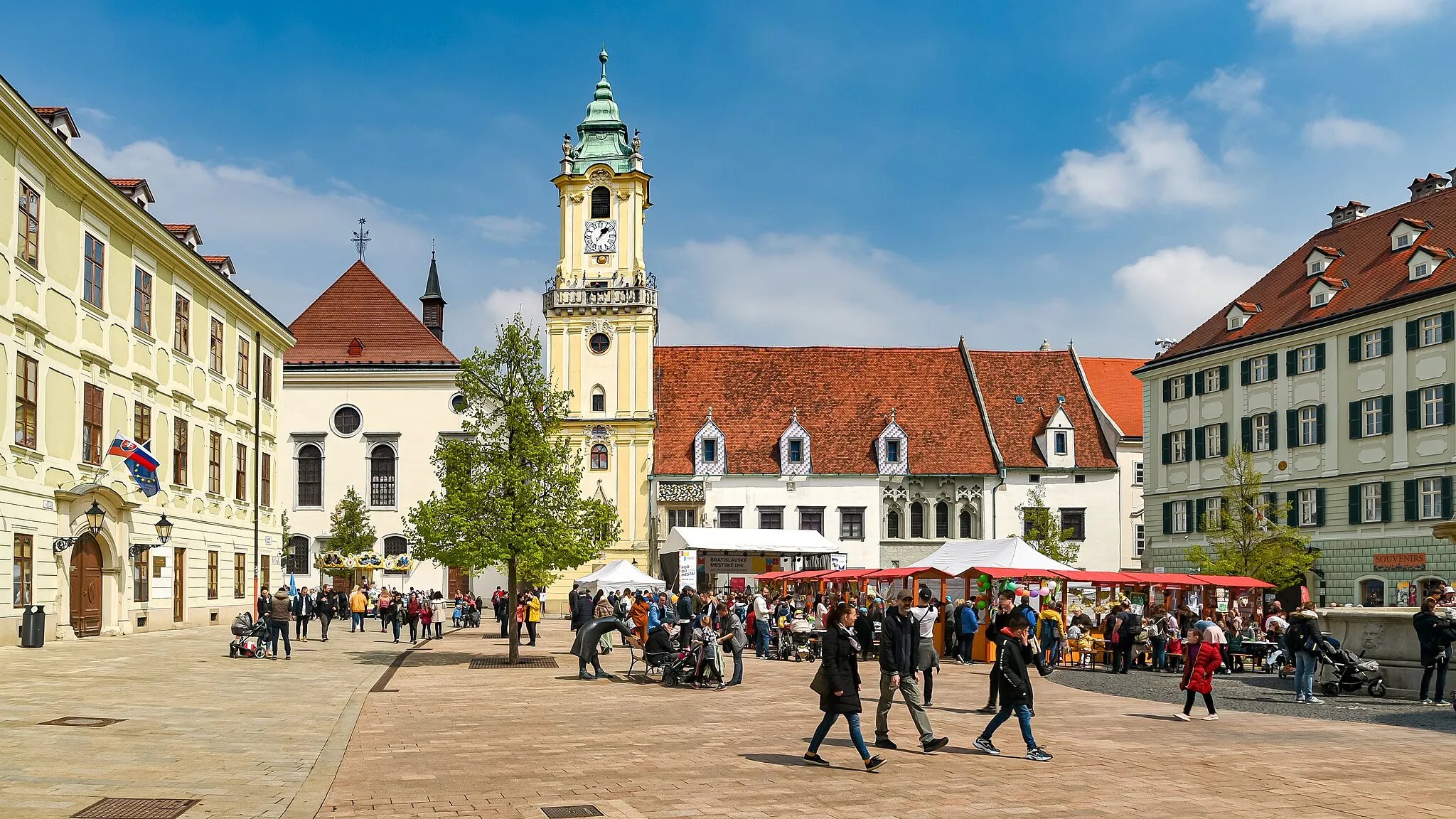
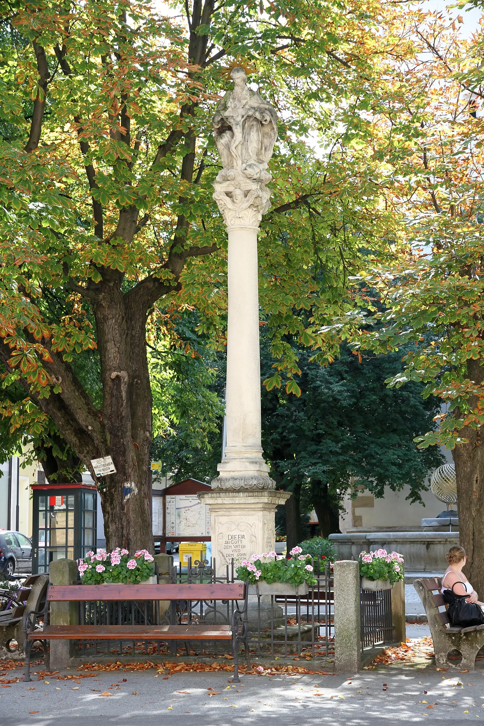
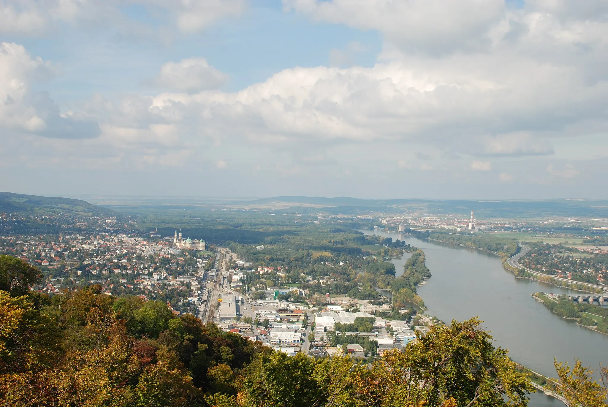
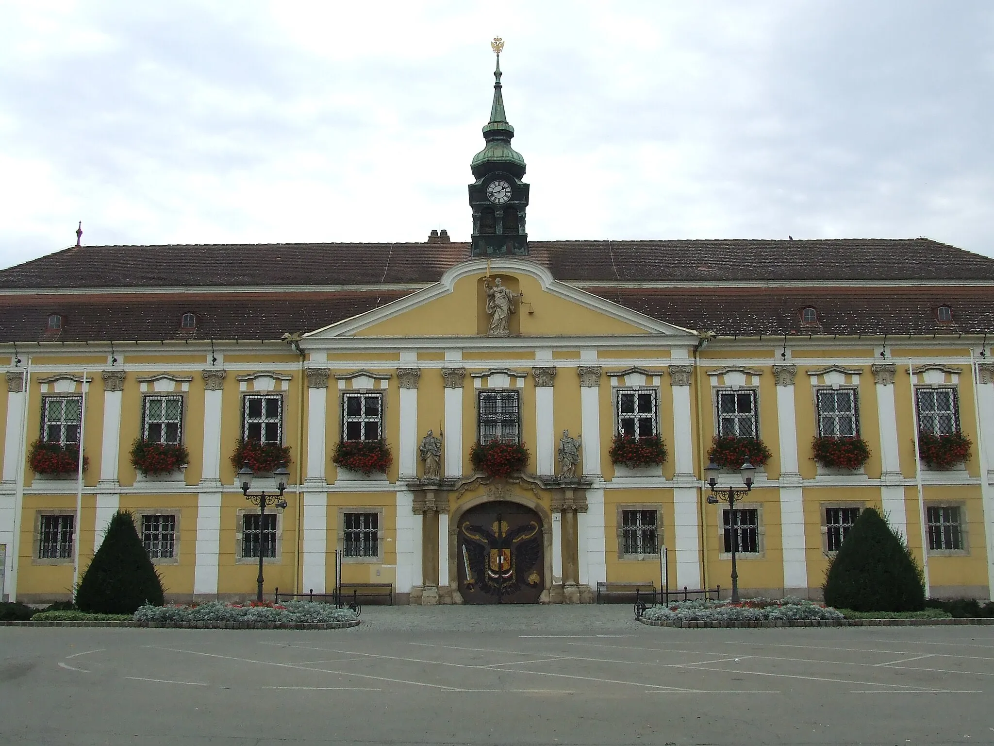
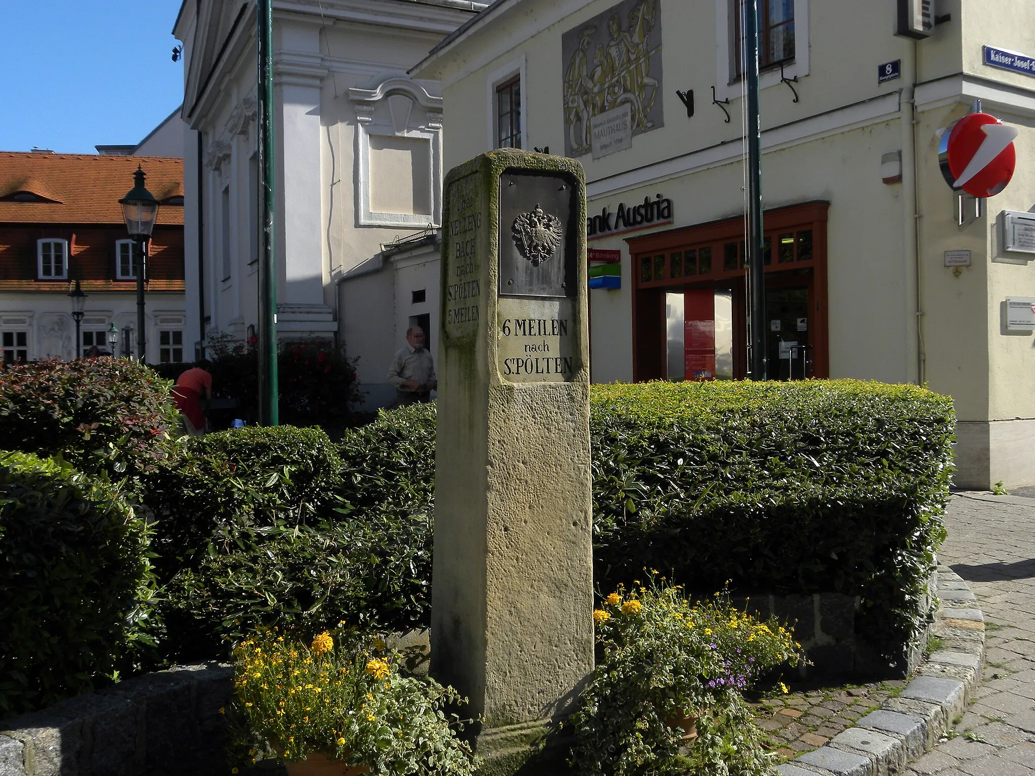
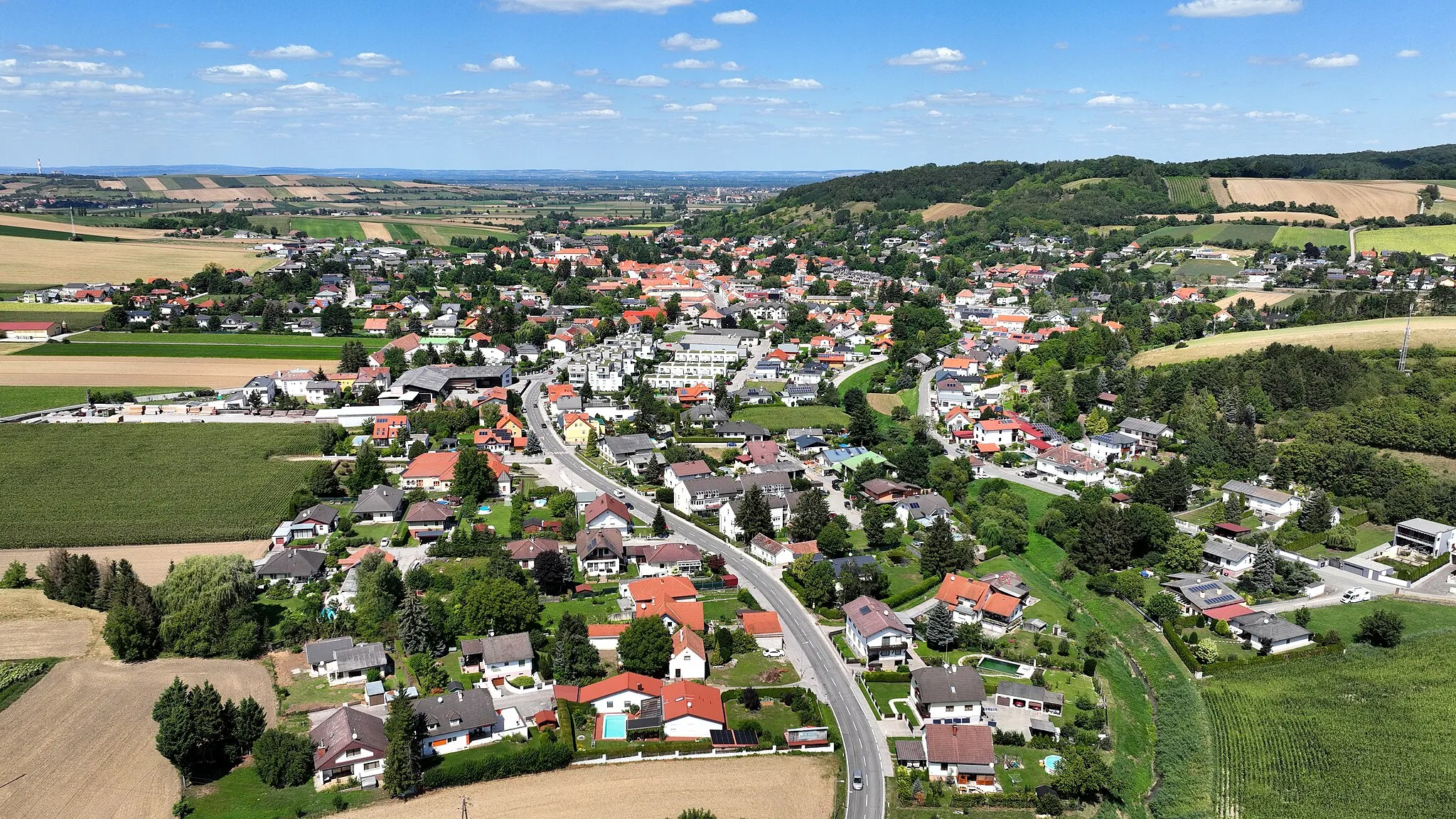
Königstetten, položené v regionu Niederösterreich, fascinuje cyklisty svými malebnými cestami a možnostmi pro pohodlné i náročné jízdy. V blízkosti najdete známé cyklistické atrakce a vyhlídky.
Pittoreque cycling journey through charming Austrian landscapes
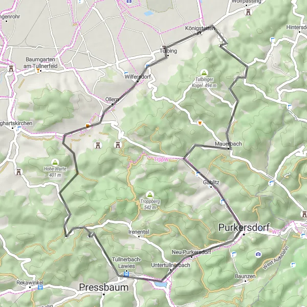
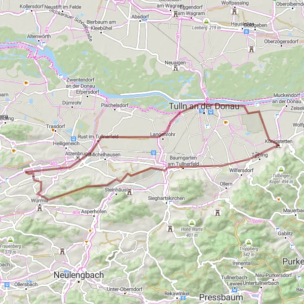
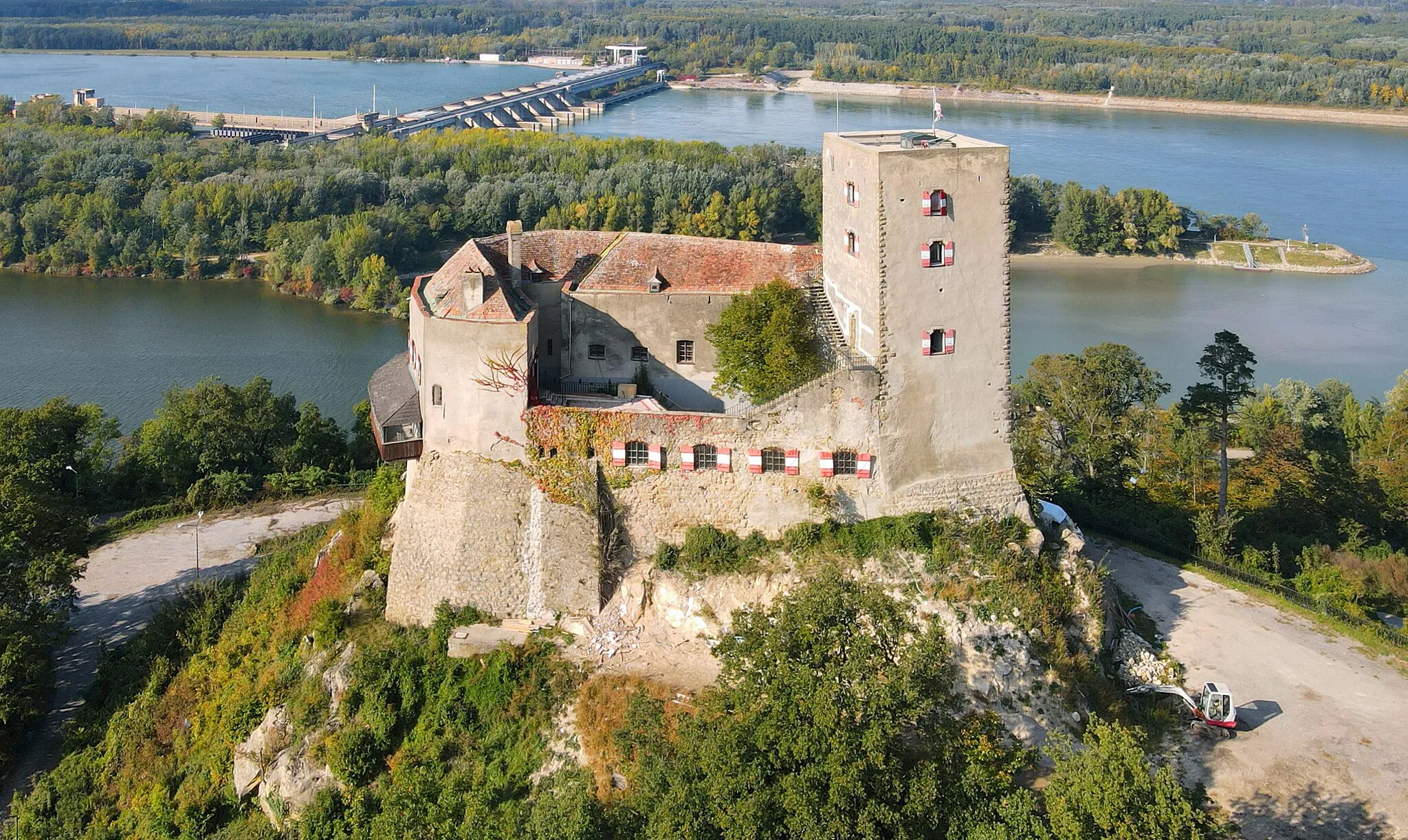
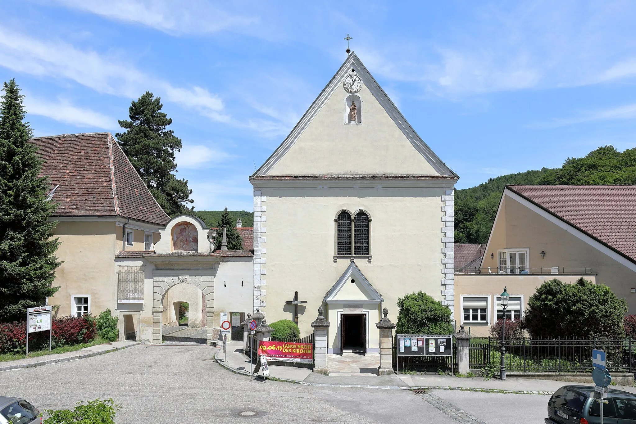
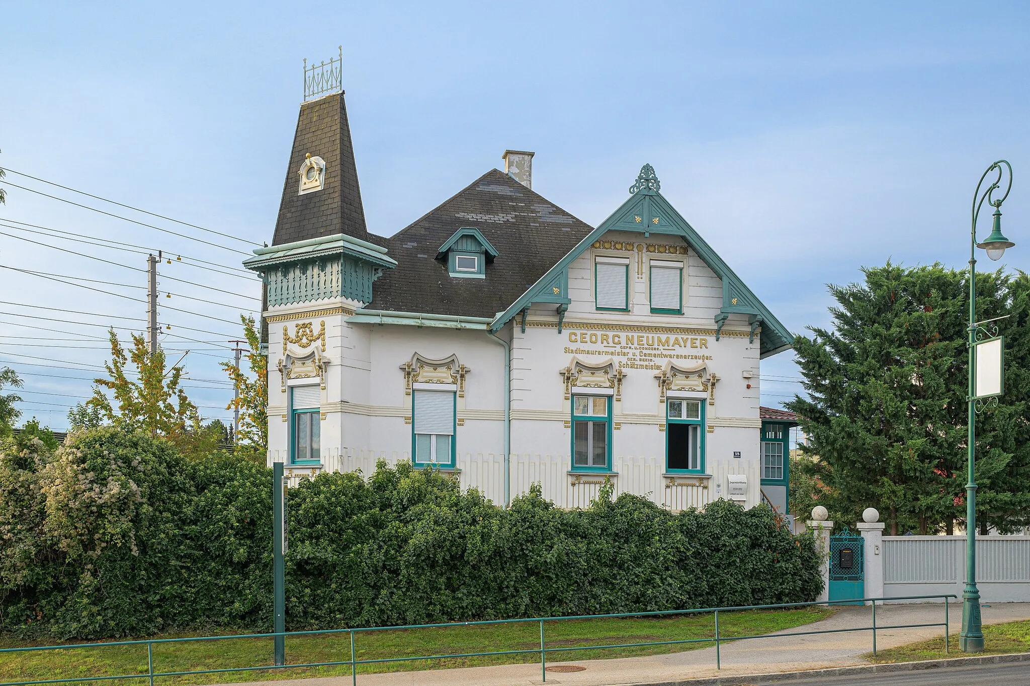
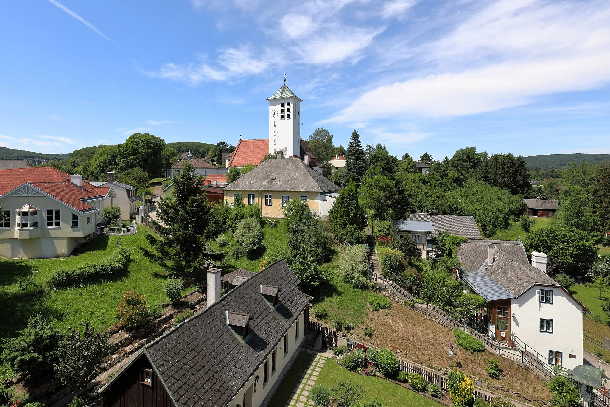
Explore the beauty of Eichberg, Mauerbach, Purkersdorf, and other scenic spots along the way. This road cycling route offers a moderate ascent and a total distance of 48 km, making it perfect for a day trip. Enjoy the fresh air and stunning views as you pedal through the countryside.
Challenging gravel route with rewarding climbs and scenic vistas
Embark on an epic cycling journey through Tulbinger Kogel, Mauerbach, Purkersdorf, and other captivating highlights. With a significant ascent and a distance of 62 km, this gravel route is perfect for experienced cyclists seeking a thrilling adventure. Discover the natural beauty and cultural heritage of Lower Austria as you pedal through picturesque villages and rolling hills.

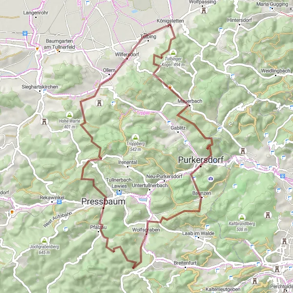
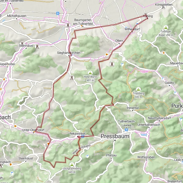
Exciting gravel route with challenging terrain and stunning views
Embark on a thrilling cycling adventure through Klosterruine, Troppberg, Jochgrabenberg, and other breathtaking highlights. This gravel route features a significant ascent and covers a distance of 84 km, offering an adrenaline-pumping experience for seasoned cyclists. Immerse yourself in nature and discover hidden gems along the way.
Náročná trasa na štěrkových cestách s 1469 m převýšením na 87 km.
Tato trasa nabízí dobrodružství a výzvy pro zkušené cyklisty. S 1469 m převýšení se můžete těšit na malebné výhledy a úchvatné scenérie. Projíždějte malebným okolím a objevujte skrytá poklady na kole.
Příjemná silniční trasa s 194 m převýšením na 75 km.
Tato trasa nabízí pohodovou jízdu s příjemnými výhledy na okolní krajinu. S 194 m převýšení je vhodná pro rekreační cyklisty a nabízí mnoho zajímavých zastávek. Projíždějte malé vesničky a objevujte krásu okolní přírody na cestě kolem Königstetten.
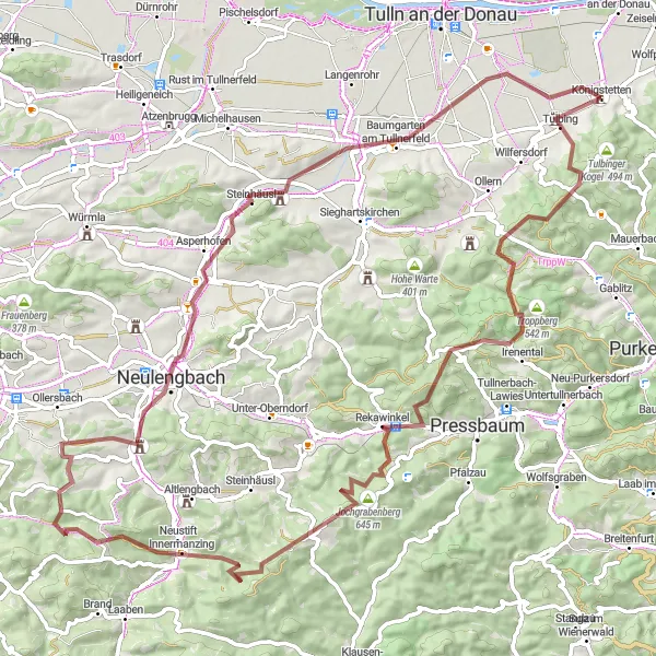
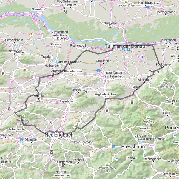
Exciting gravel route with diverse terrain and natural attractions
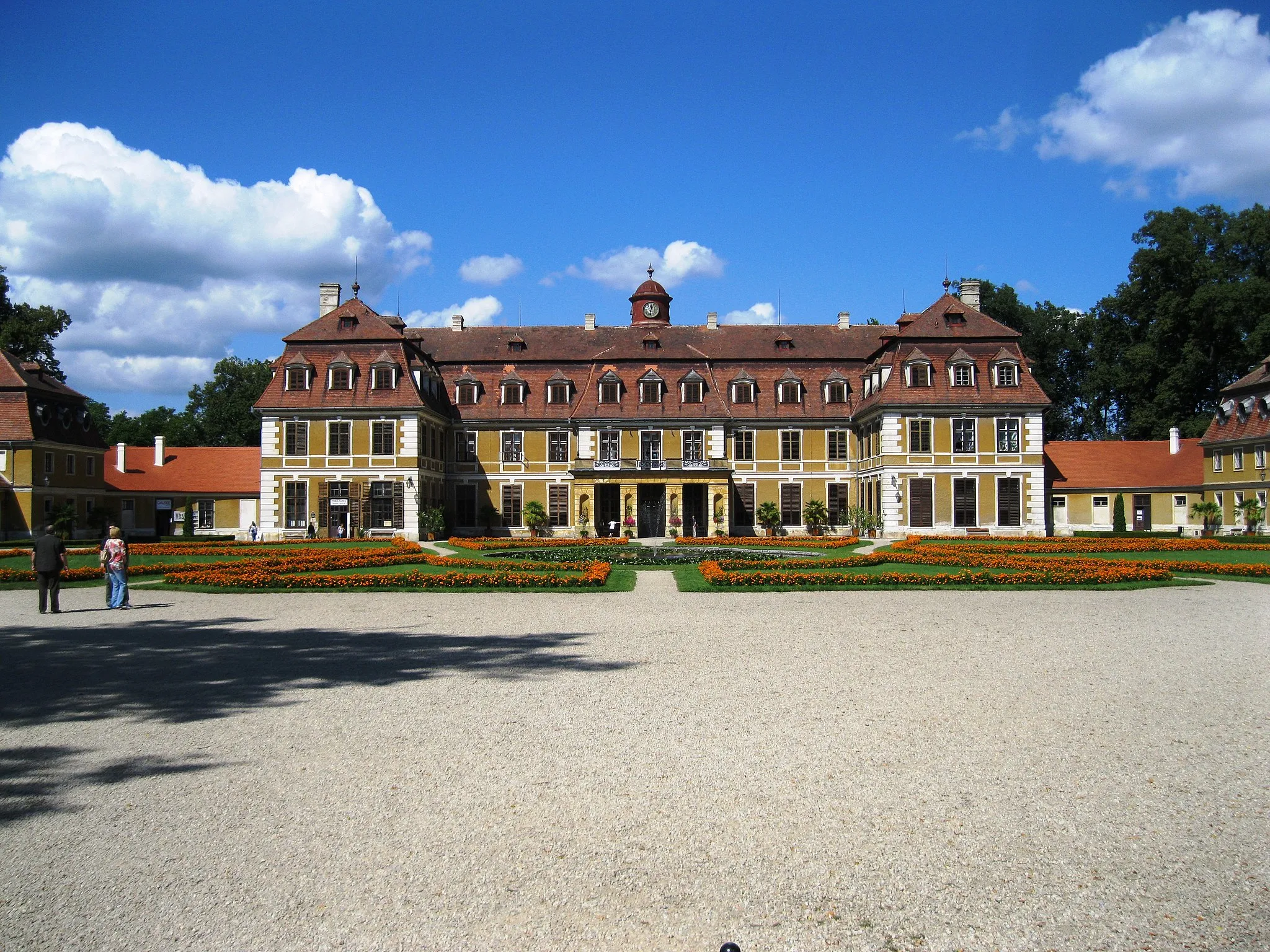
Embark on a thrilling cycling adventure through Tulbing, Mitterberg, Würmla, and other captivating highlights. This 56 km gravel route offers a moderate ascent and scenic views of the Austrian countryside. Immerse yourself in nature and explore hidden gems such as the Baumwipfelweg and Schloss Königstetten along the way.
Zajímavá trasa vhodná pro gravel s 800 m převýšení na 55 km.
Tato trasa nabízí malebné výhledy a zajímavá místa, jako je Wilfersdorf a Tullnerfeldblick. S 800 m převýšení bude jízda náročná, ale stojí za to. Užijte si krásu okolní krajiny a dobrodružství na kole.
Pěkná silniční trasa s 566 m převýšením na 72 km.
Tato cesta nabízí rozmanité pohledy na okolní krajinu a zajímavé historické památky. S 566 m převýšení není trať příliš náročná, ideální pro rekreační cyklisty. Objevujte malebné vesnice a krásné vyhlídky na cestě kolem Königstetten.
Náročná silniční trasa s 1005 m převýšením na 127 km.
Tato trasa nabízí náročné stoupání a malebné výhledy na okolní krajinu. S 1005 m převýšení se můžete těšit na adrenalinové sjezdy a krásné scenerie podél trasy. Projíždějte malebnými vesnicemi a objevujte historické památky na cestě kolem Königstetten.
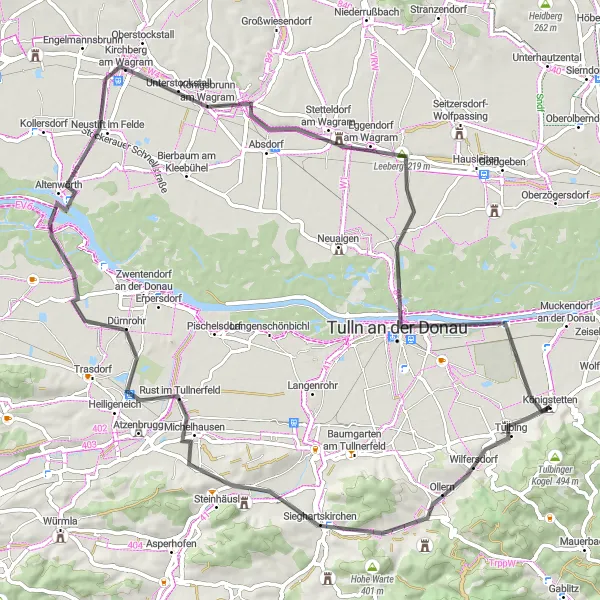
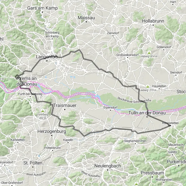
Scenic road cycling route through picturesque Austrian countryside
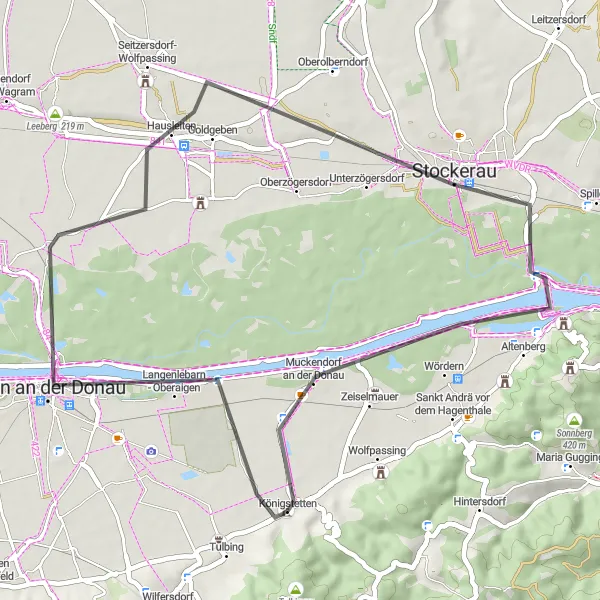
Enjoy a leisurely ride through Tulln an der Donau, Hausleiten, Brunnberg-Warte, and other delightful spots on this 44 km road cycling route. With a gentle ascent and charming scenery, this route is ideal for cyclists of all levels. Discover the beauty and tranquility of the Austrian landscape as you pedal through quaint villages and lush greenery.
Cyklotrasy v okolí:

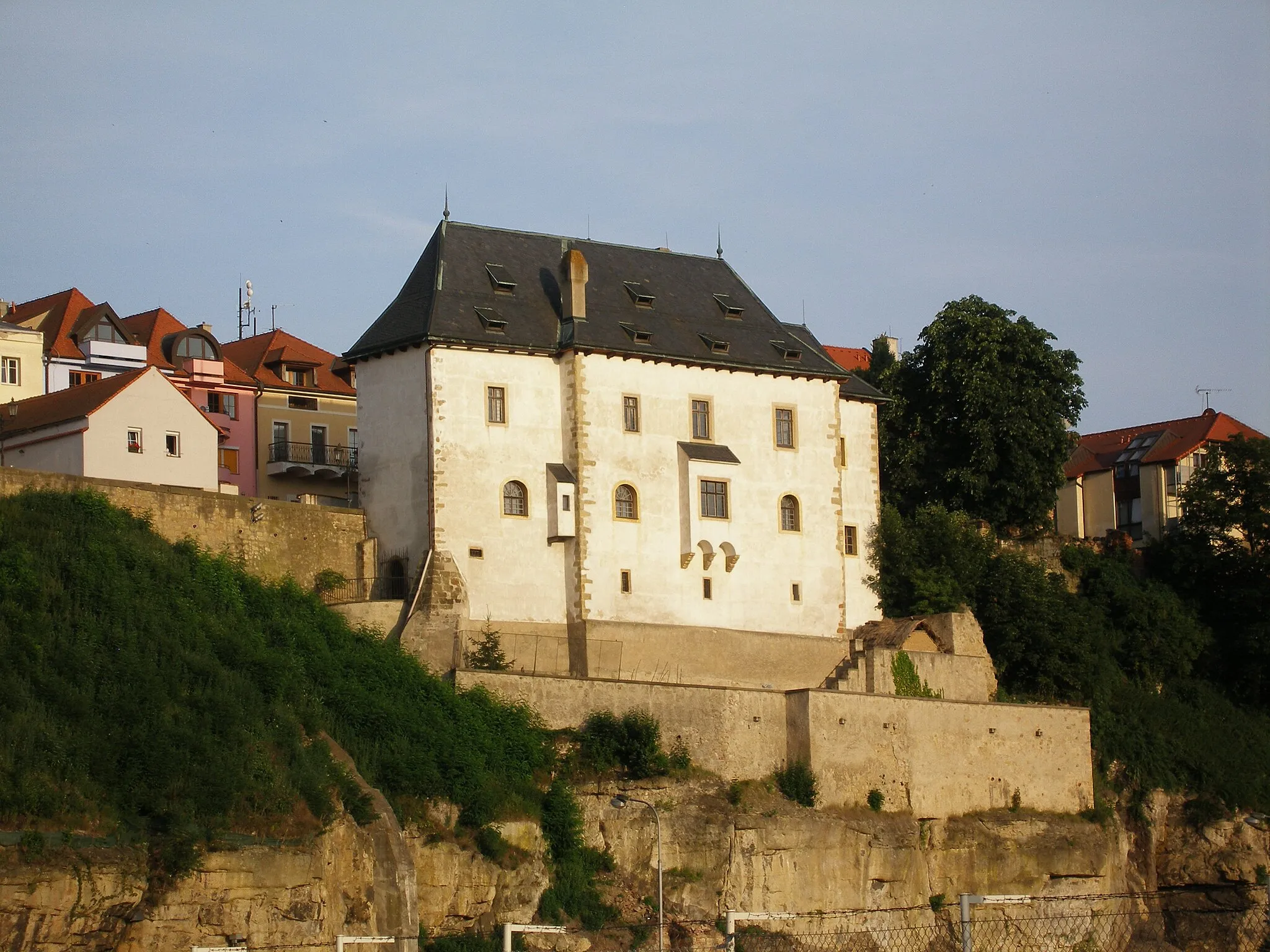
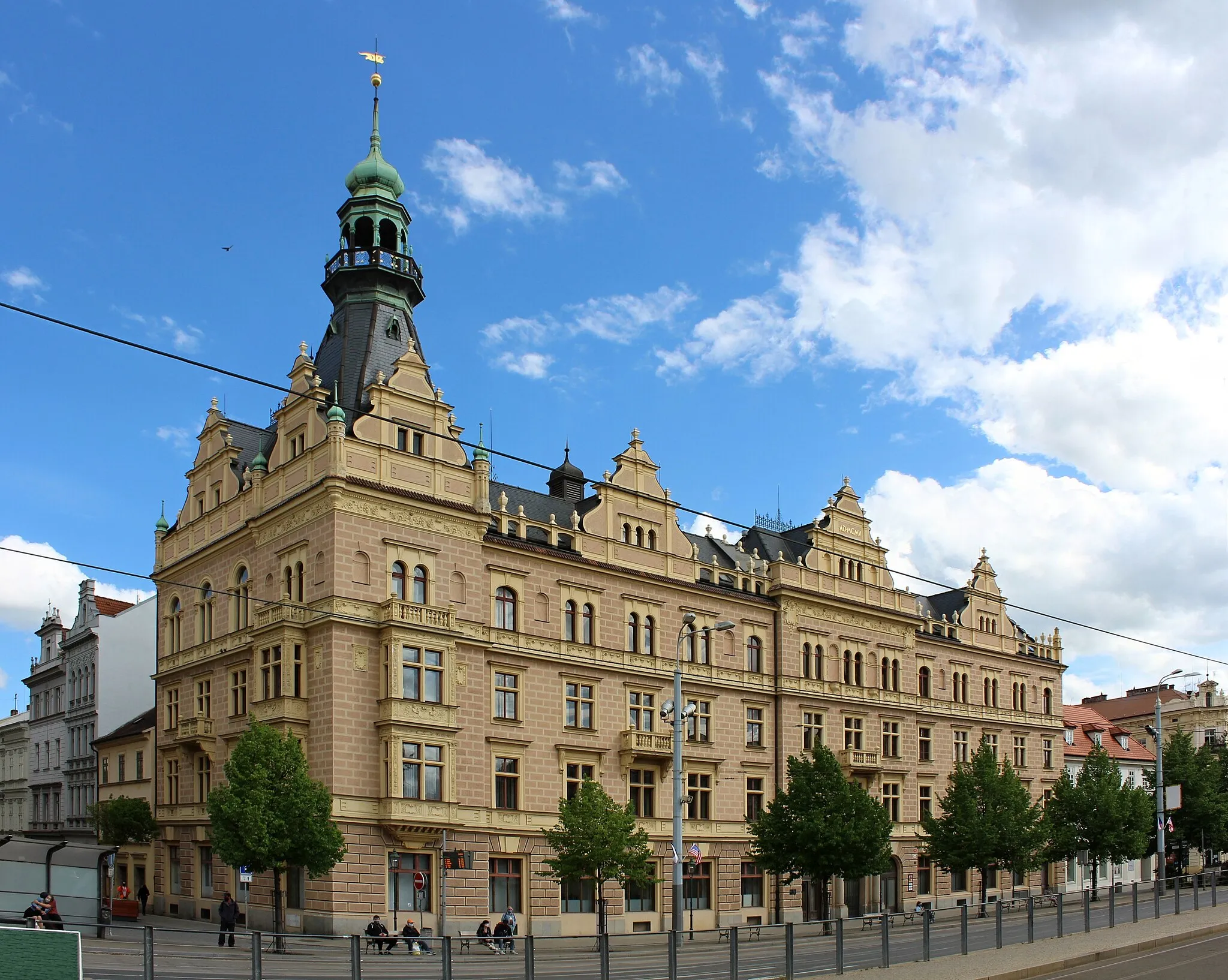
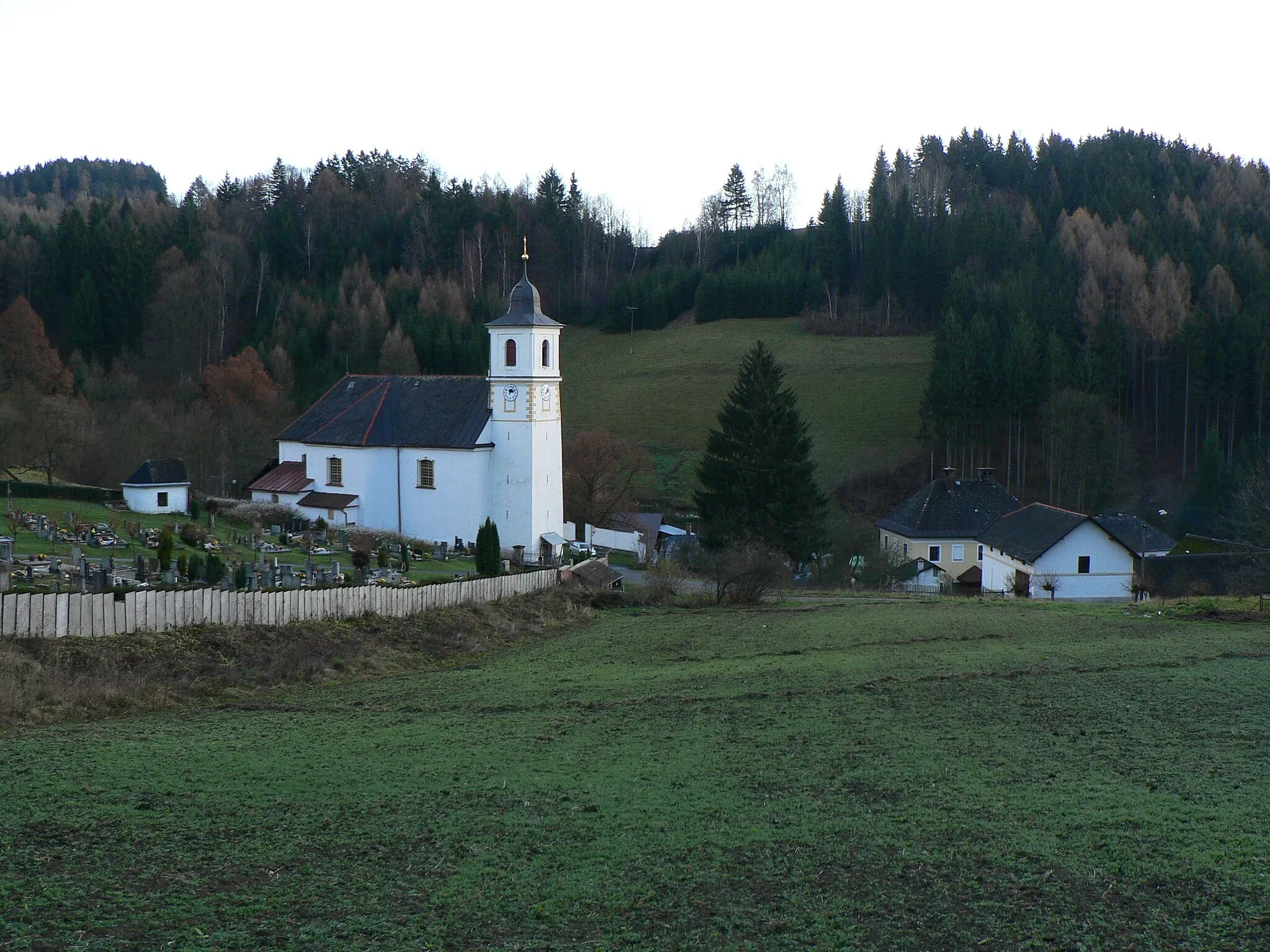
Okolní oblasti: