![Cover image](https://images.tarmacs.app/cycling-routes/covers/austria/niederosterreich/muenchendorf-5.webp)
Klidná vesnice pro cyklisty
Cyklistické trasy kolem Muenchendorf
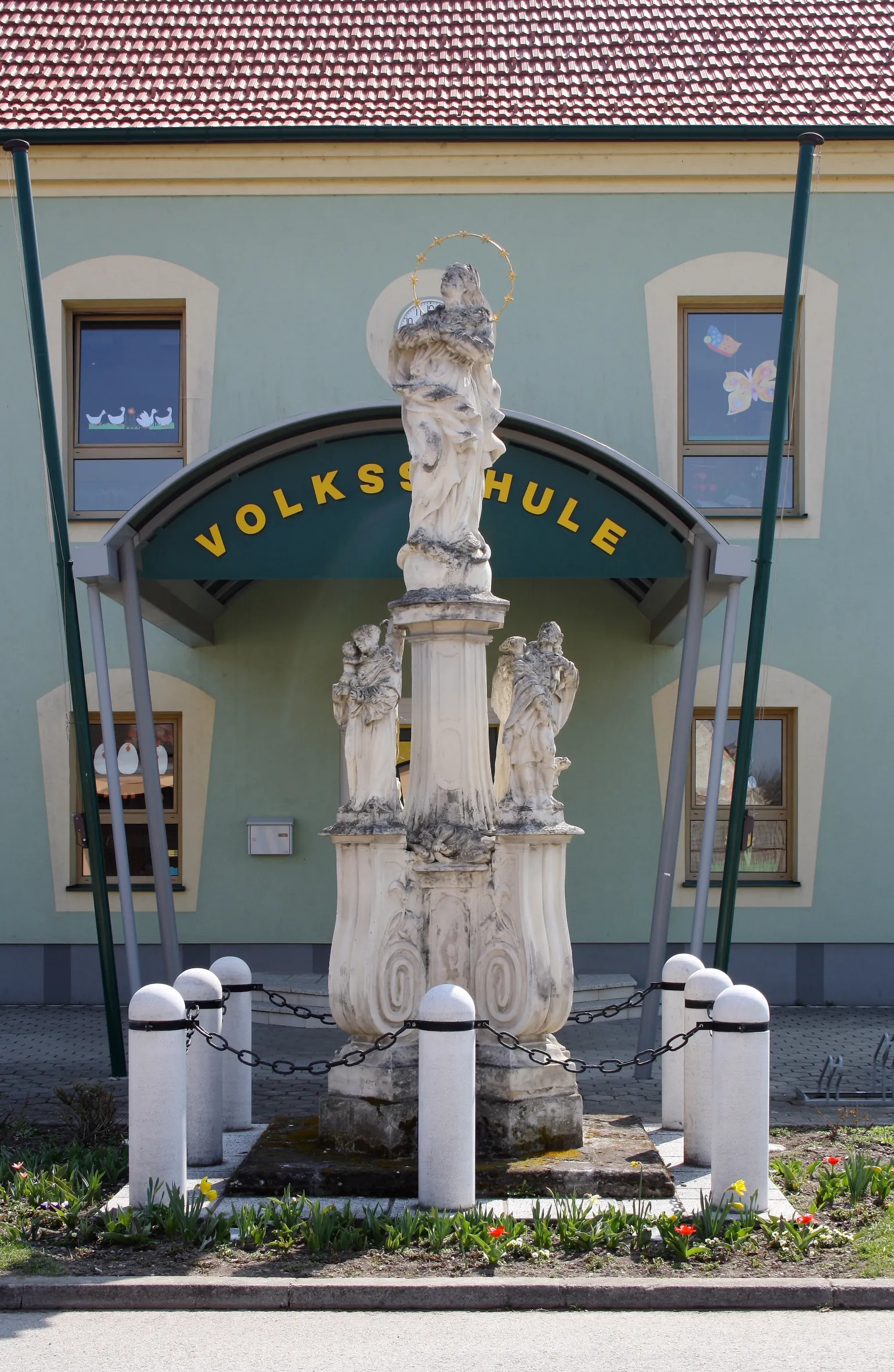
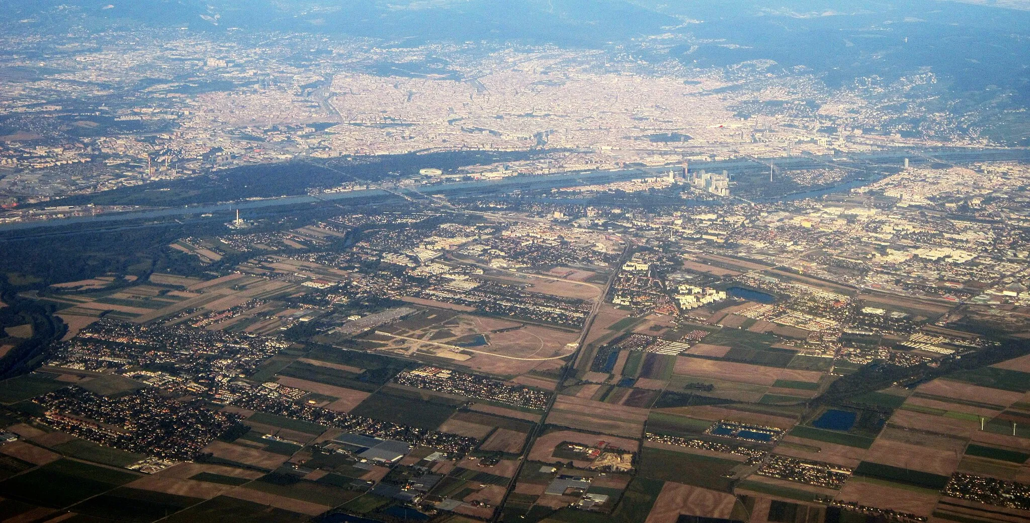
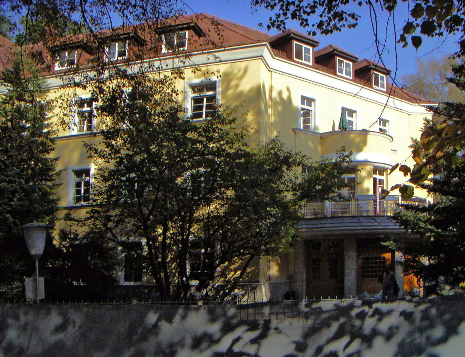
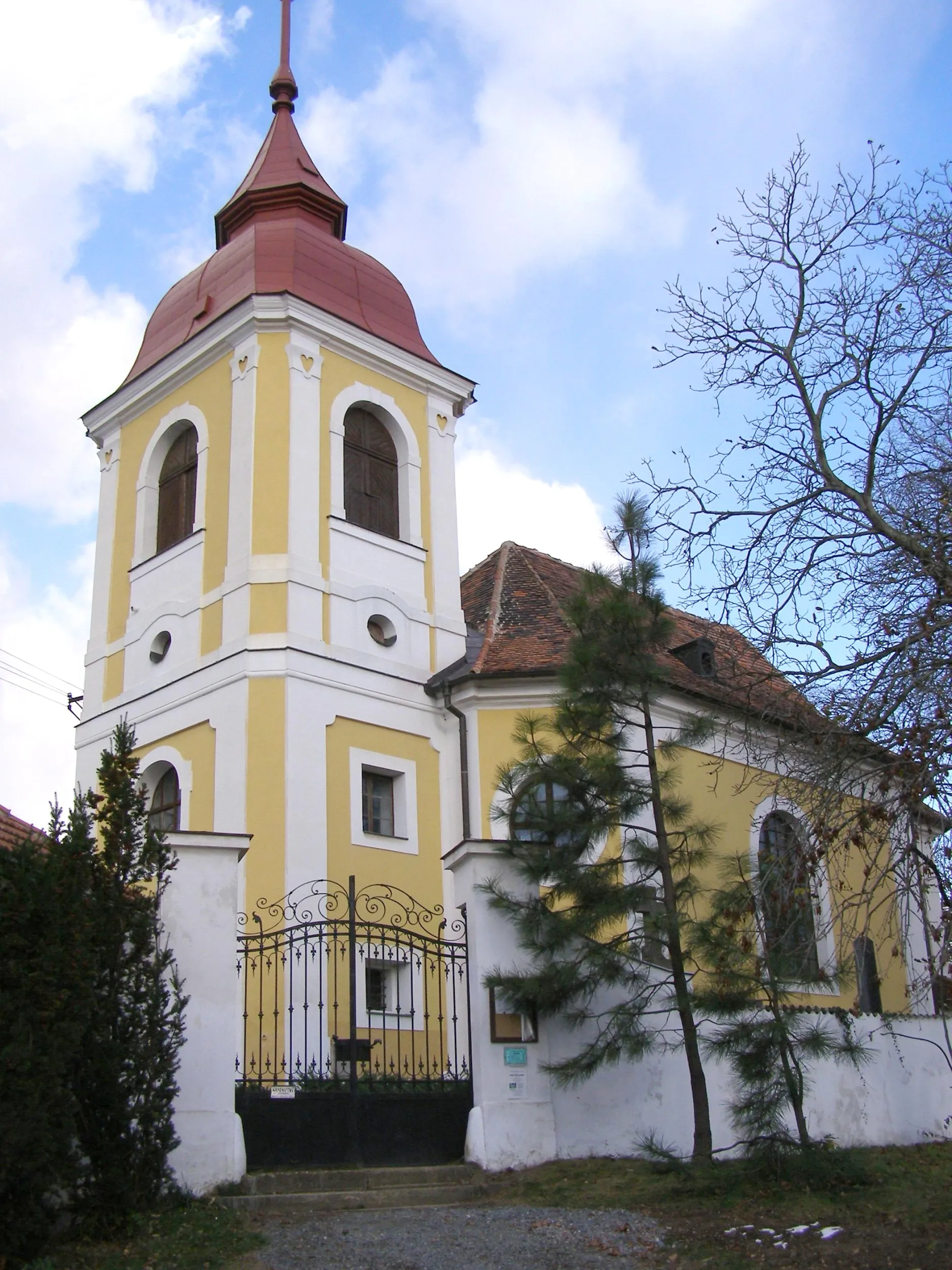
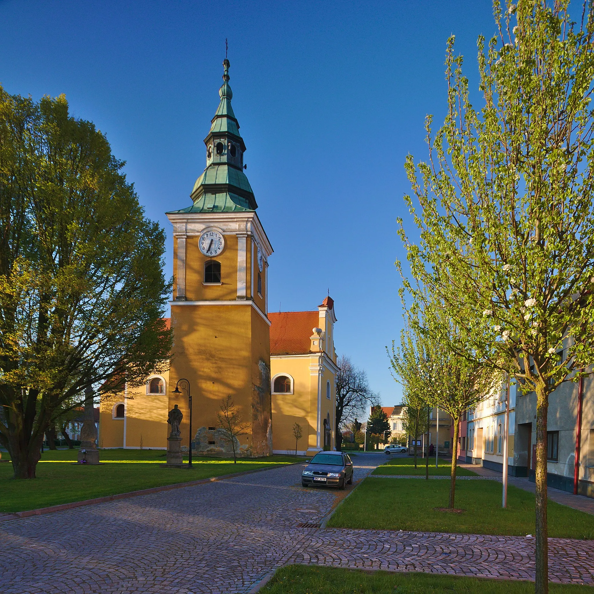
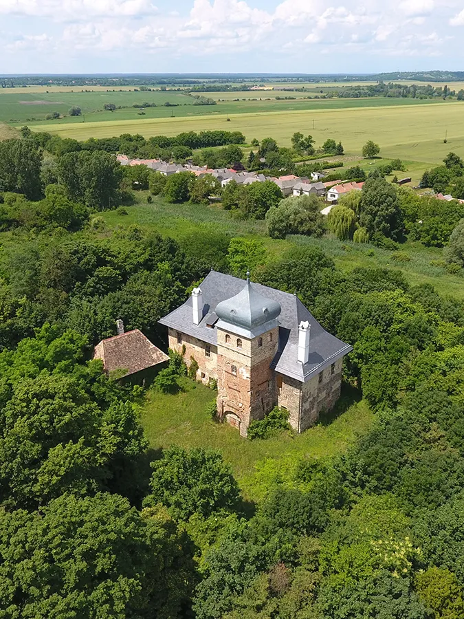
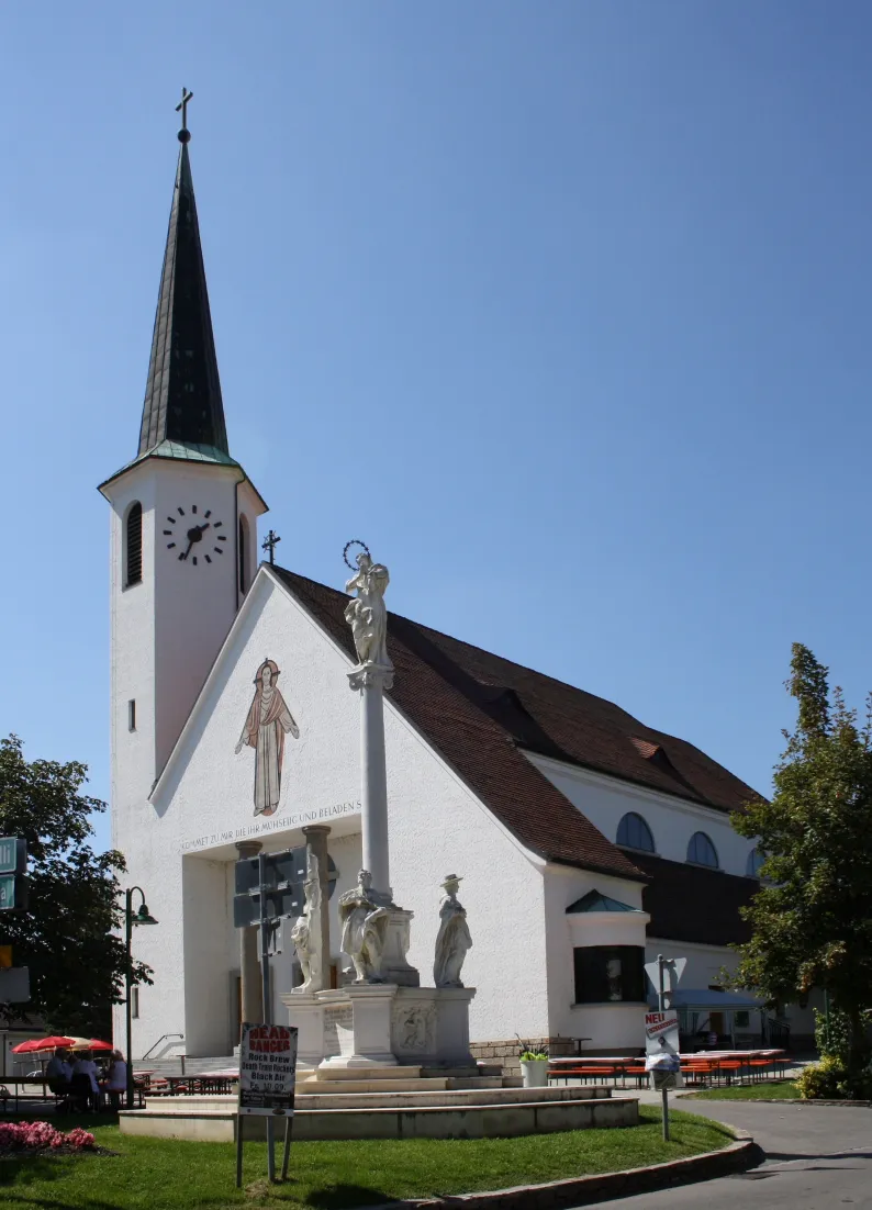
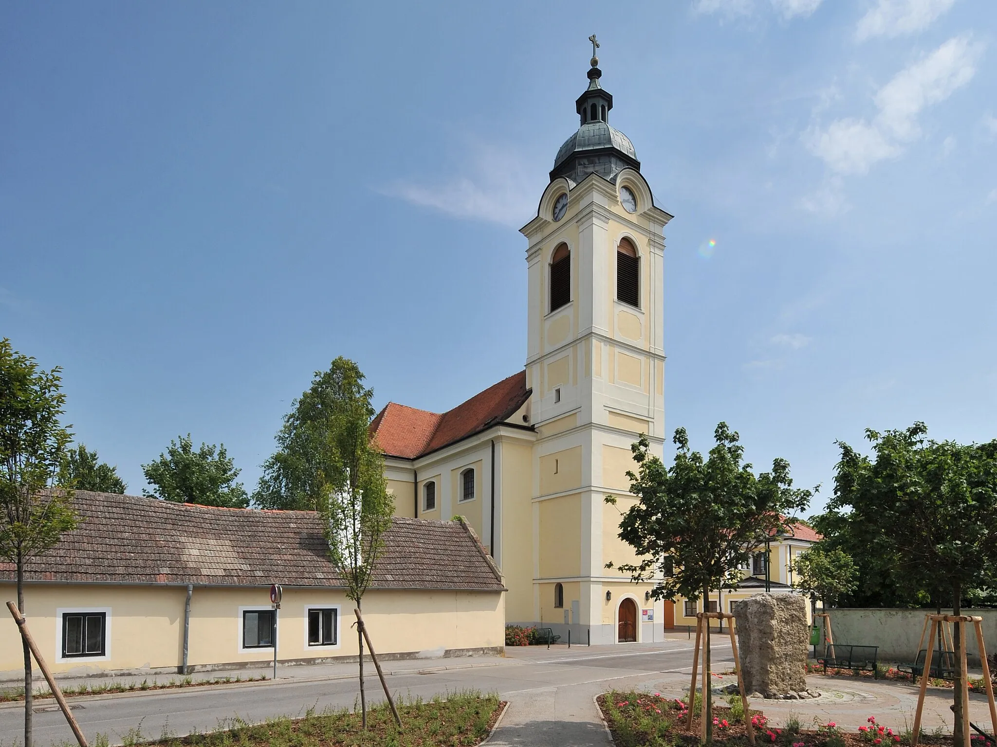
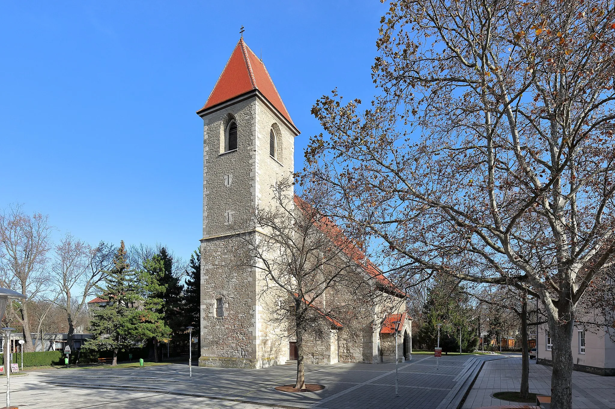
Münchendorf je malebná vesnice v Dolním Rakousku, ideální pro klidné cyklistické výlety po okolních polních cestách. Nedaleko se nachází Hohe Wand, známý skalní masiv vhodný pro horská kola.
![Miniaturní mapa "Gravel Adventure through Seibersdorf" inspirace pro cyklisty v oblasti Niederösterreich, Austria. Vytvořeno pomocí plánovače tras Tarmacs.app](https://images.tarmacs.app/cycling-routes/routemaps/600/austria/niederosterreich/muenchendorf/gravel/161181.webp)
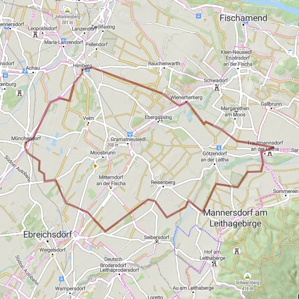
Embark on a gravel cycling tour with a total ascent of 82 meters
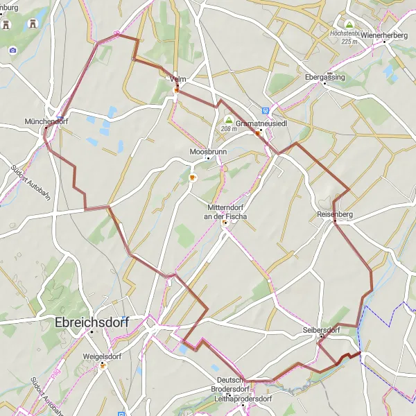
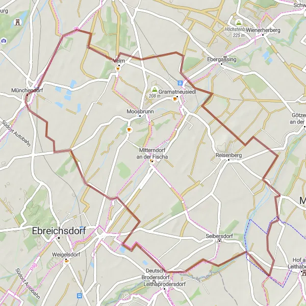
Cycle through picturesque landscapes on a 50-km gravel route from Münchendorf to Seibersdorf. Explore Gramatneusiedl, Goldberg, and Leithaprodersdorf, enjoying the diverse terrain and natural beauty of the region.
![Miniaturní mapa "Gravel Tour to Pischelsdorf" inspirace pro cyklisty v oblasti Niederösterreich, Austria. Vytvořeno pomocí plánovače tras Tarmacs.app](https://images.tarmacs.app/cycling-routes/routemaps/600/austria/niederosterreich/muenchendorf/gravel/161125.webp)
Embark on a gravel cycling adventure with a total ascent of 37 meters
Cycle on a 53-km gravel route from Münchendorf to Pischelsdorf, passing through Velm, Reinspiegelberg, and Leithaprodersdorf. Enjoy the serene countryside and peaceful surroundings along this scenic journey.
![Miniaturní mapa "Gravel Tour around Münchendorf" inspirace pro cyklisty v oblasti Niederösterreich, Austria. Vytvořeno pomocí plánovače tras Tarmacs.app](https://images.tarmacs.app/cycling-routes/routemaps/600/austria/niederosterreich/muenchendorf/gravel/161218.webp)
Explore the picturesque gravel roads with a total ascent of 306 meters
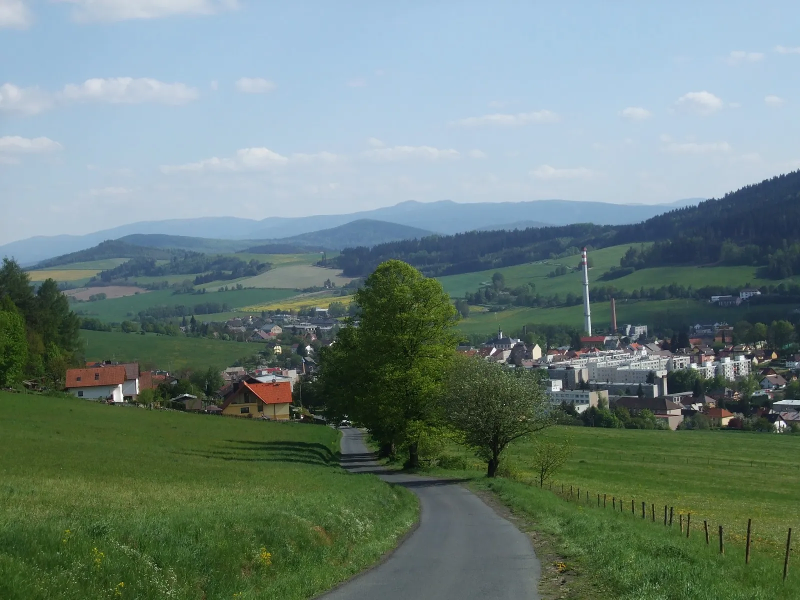
Embark on a challenging 61-km gravel route starting near Münchendorf. Cycle through Tattendorf, Sollenau, and Leobersdorf, passing by highlights such as the Höhlturm and Harterberg. Enjoy the scenic views and diverse terrain of this unique cycling experience.
![Miniaturní mapa "Scenic Road Trip to Laxenburg" inspirace pro cyklisty v oblasti Niederösterreich, Austria. Vytvořeno pomocí plánovače tras Tarmacs.app](https://images.tarmacs.app/cycling-routes/routemaps/600/austria/niederosterreich/muenchendorf/road/161143.webp)
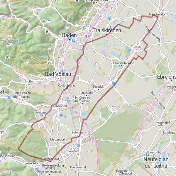
Conquer a challenging road cycling route with a total ascent of 535 meters
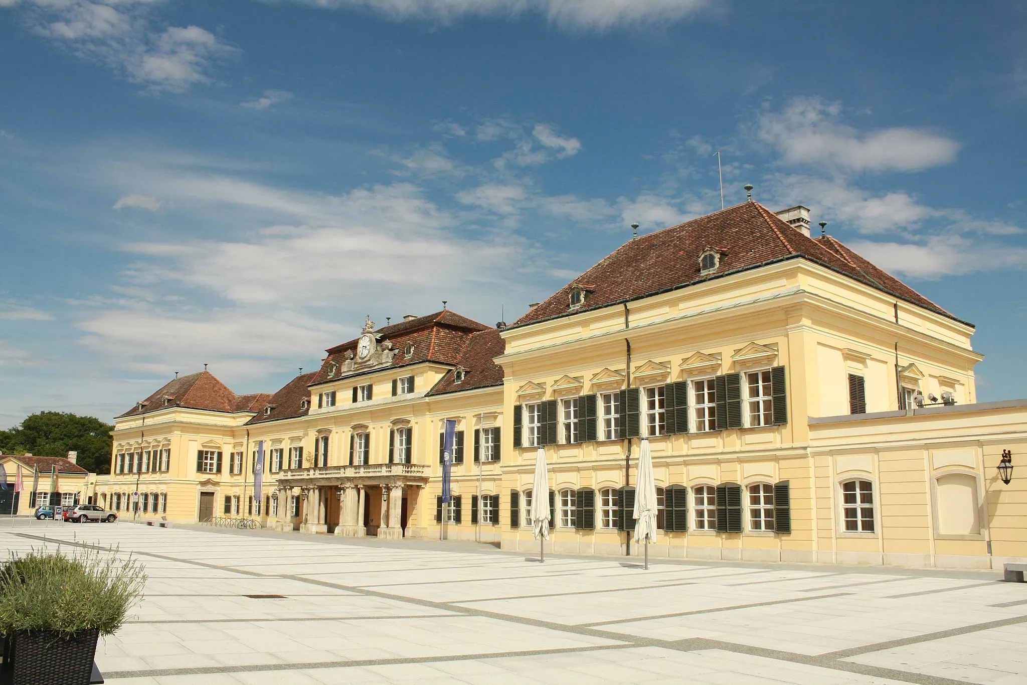
Embark on a 66-km road cycling adventure from Münchendorf to Laxenburg, passing through Trumau, Pfaffstättner Kogel, and Burg Wildegg. Admire the stunning landscapes and historical sites along the way, including Venusberg and Kalksburg.
![Miniaturní mapa "Silniční cyklotrasa od Münchendorfu" inspirace pro cyklisty v oblasti Niederösterreich, Austria. Vytvořeno pomocí plánovače tras Tarmacs.app](https://images.tarmacs.app/cycling-routes/routemaps/600/austria/niederosterreich/muenchendorf/road/161169.webp)
Projíždějte malebným Rakouskem na této 46km dlouhé cestě s 134m stoupáním
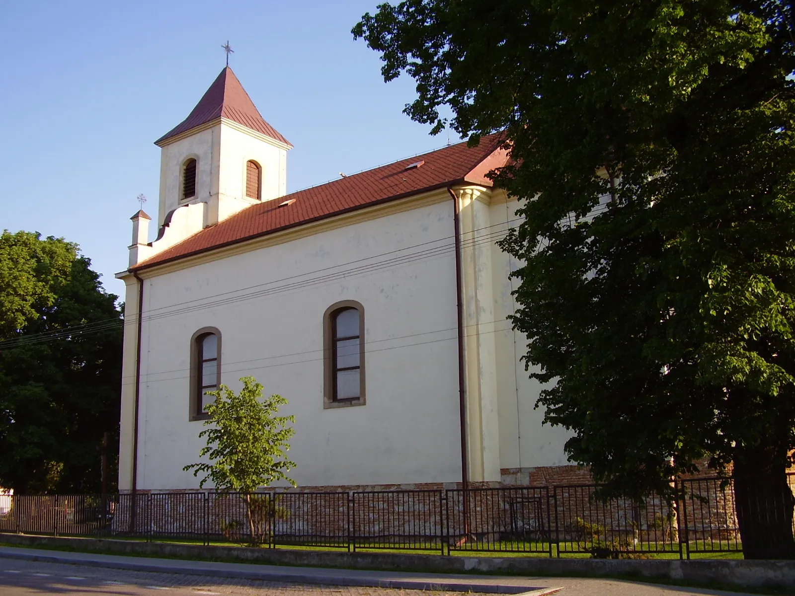
Tato trasa nabízí skvělý mix malebné krajiny, historických památek a přátelských měst, které stojí za návštěvu. S 5 zastávkami podél cesty si můžete vychutnat rakouskou kulturu a gastronomii v jejich nejlepší podobě.
![Miniaturní mapa "Gravelová cyklotrasa Münchendorfu II." inspirace pro cyklisty v oblasti Niederösterreich, Austria. Vytvořeno pomocí plánovače tras Tarmacs.app](https://images.tarmacs.app/cycling-routes/routemaps/600/austria/niederosterreich/muenchendorf/gravel/161175.webp)
Vydejte se na 59km dlouhou cestu po šotolinových cestách s 76m stoupáním
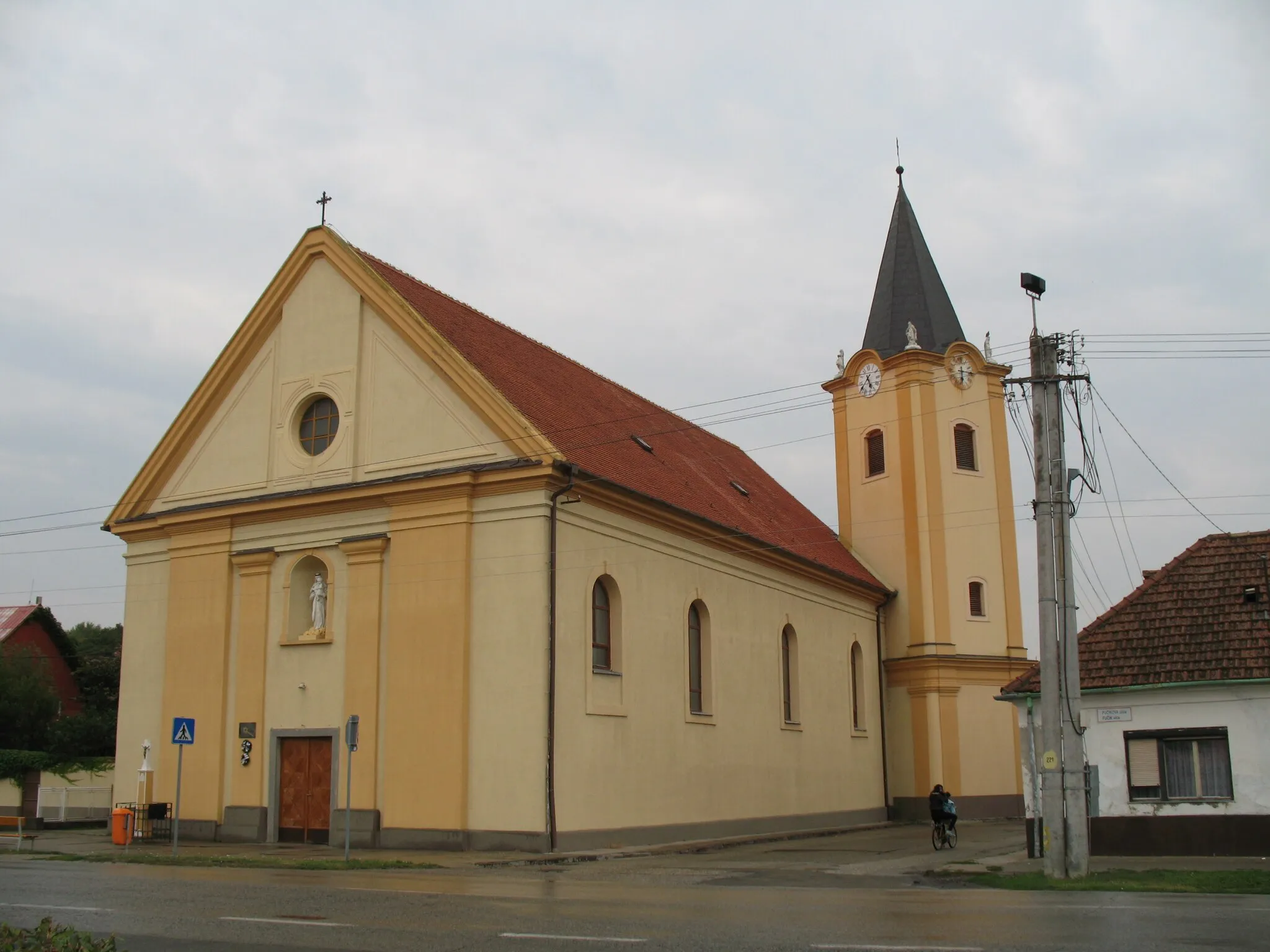
Tato trasa vede kolem malebných vesnic a krajin, které přinášejí pohodu a klid. S 6 zastávkami po cestě se budete moci seznámit s historií a kulturou tohoto regionu.
![Miniaturní mapa "Okruhová cyklotrasa kolem Münchendorfu" inspirace pro cyklisty v oblasti Niederösterreich, Austria. Vytvořeno pomocí plánovače tras Tarmacs.app](https://images.tarmacs.app/cycling-routes/routemaps/600/austria/niederosterreich/muenchendorf/road/161196.webp)
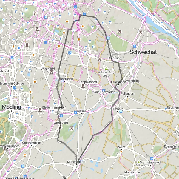
Objevte okolí Münchendorfu na této 41km dlouhé cestě s 115m stoupáním
Tato silniční trasa nabízí malebné výhledy a prochází městy Laxenburg a Wienerberg, než se vrátíte do Münchendorfu. Díky 5 výrazným zastávkám se dozvíte více o historii a kultuře regionu.
![Miniaturní mapa "Gravelová cyklotrasa z Münchendorfu" inspirace pro cyklisty v oblasti Niederösterreich, Austria. Vytvořeno pomocí plánovače tras Tarmacs.app](https://images.tarmacs.app/cycling-routes/routemaps/600/austria/niederosterreich/muenchendorf/gravel/161203.webp)
Vydejte se na dobrodružnou 68km dlouhou cestu po šotolinových cestách s 115m stoupáním
Tato trasa je ideální pro dobrodružné cyklisty, kteří chtějí prozkoumat okolní vesnice a přírodní scenérie. S deseti zastávkami podél cesty si užijete autentickou atmosféru Rakouského venkova.
![Miniaturní mapa "Okruh kolem Münchendorfu" inspirace pro cyklisty v oblasti Niederösterreich, Austria. Vytvořeno pomocí plánovače tras Tarmacs.app](https://images.tarmacs.app/cycling-routes/routemaps/600/austria/niederosterreich/muenchendorf/road/161168.webp)
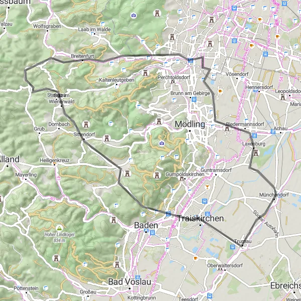
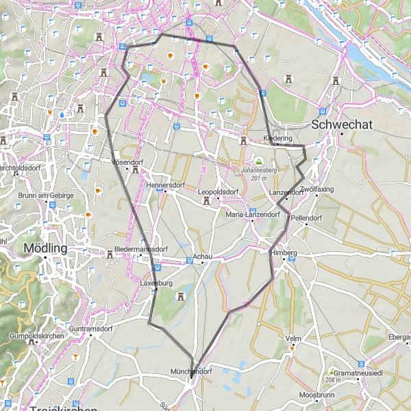
Poutavá cyklotrasa pro silniční kola s několika zajímavými zastávkami
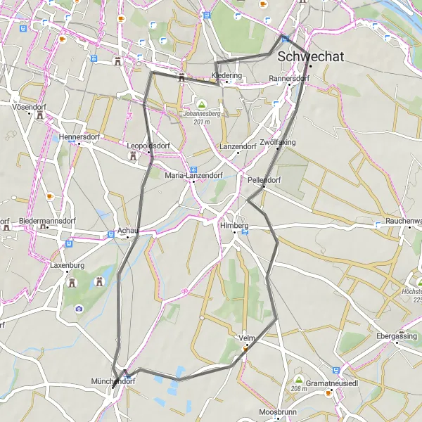
Tento okruh kolem Münchendorfu nabízí 39 km silničních tras s celkovým převýšením 81 metrů. Trasa vede přes Achau, kde si můžete užít krásný výhled. Dále pokračuje kolem Johannesbergu a Švihového lesa a končí zpět v Münchendorfu.
![Miniaturní mapa "Road Cycling Route to Oberwaltersdorf" inspirace pro cyklisty v oblasti Niederösterreich, Austria. Vytvořeno pomocí plánovače tras Tarmacs.app](https://images.tarmacs.app/cycling-routes/routemaps/600/austria/niederosterreich/muenchendorf/road/161162.webp)
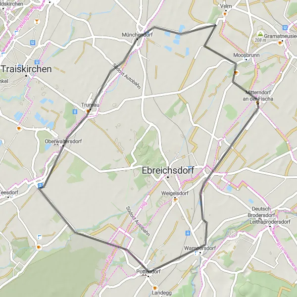
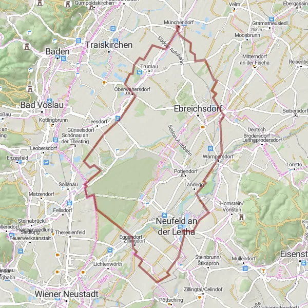
Enjoy a smooth road bike ride with a total ascent of 76 meters
Cycle on a 43-km road route from Münchendorf to Oberwaltersdorf, passing through Moosbrunn and Wimpassing an der Leitha. This scenic journey offers a relaxing cycling experience with beautiful views along the way.
Cyklotrasy v okolí:
![Obrázek Ladenburg](https://images.tarmacs.app/cycling-routes/covers/austria/niederosterreich/laxenburg-5.webp)
![Obrázek Moosbrunn](https://images.tarmacs.app/cycling-routes/covers/austria/niederosterreich/moosbrunn-5.webp)
![Obrázek Trumau](https://images.tarmacs.app/cycling-routes/covers/austria/niederosterreich/trumau-5.webp)
![Obrázek Guntramsdorf](https://images.tarmacs.app/cycling-routes/covers/austria/niederosterreich/guntramsdorf-5.webp)
![Obrázek Möllersdorf](https://images.tarmacs.app/cycling-routes/covers/austria/niederosterreich/moellersdorf-5.webp)
![Obrázek Biedermannsdorf](https://images.tarmacs.app/cycling-routes/covers/austria/niederosterreich/biedermannsdorf-5.webp)
![Obrázek Himberg](https://images.tarmacs.app/cycling-routes/covers/austria/niederosterreich/himberg-4.webp)
![Obrázek Traiskirchen](https://images.tarmacs.app/cycling-routes/covers/austria/niederosterreich/traiskirchen-4.webp)
![Obrázek Wienersdorf](https://images.tarmacs.app/cycling-routes/covers/austria/niederosterreich/wienersdorf-4.webp)
Okolní oblasti:
![Obrázek Burgenland](https://images.tarmacs.app/cycling-routes/covers/austria/burgenland/wimpassing-an-der-leitha-4.webp)
![Obrázek Vídeň](https://images.tarmacs.app/cycling-routes/covers/austria/wien/vienna-5.webp)
![Obrázek Kärnten](https://images.tarmacs.app/cycling-routes/covers/austria/karnten/hermagor-1.webp)
![Obrázek Steiermark](https://images.tarmacs.app/cycling-routes/covers/austria/steiermark/rottenmann-5.webp)
![Obrázek Oberösterreich](https://images.tarmacs.app/cycling-routes/covers/austria/oberosterreich/bad-hall-4.webp)
![Obrázek Středočeský kraj](https://images.tarmacs.app/cycling-routes/covers/czech-republic/stredni-cechy/zdiby-4.webp)
![Obrázek Jihozápad](https://images.tarmacs.app/cycling-routes/covers/czech-republic/jihozapad/kdyne-3.webp)
![Obrázek Jihovýchod](https://images.tarmacs.app/cycling-routes/covers/czech-republic/jihovychod/kamenice-nad-lipou-4.webp)
![Obrázek Střední Morava](https://images.tarmacs.app/cycling-routes/covers/czech-republic/stredni-morava/nemcice-nad-hanou-5.webp)
![Obrázek Nyugat-Dunántúl](https://images.tarmacs.app/cycling-routes/covers/hungary/nyugat-dunantul/janoshaza-2.webp)
![Obrázek Bratislavský kraj](https://images.tarmacs.app/cycling-routes/covers/slovakia/bratislavsky-kraj/jarovce-4.webp)
![Obrázek Západné Slovensko](https://images.tarmacs.app/cycling-routes/covers/slovakia/zapadne-slovensko/sladkovicovo-5.webp)