![Cover image](https://images.tarmacs.app/cycling-routes/covers/austria/niederosterreich/rohrendorf-bei-krems-4.webp)
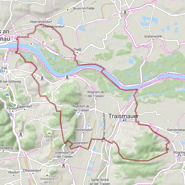
Cyklistický ráj mezi vinicemi.
Cyklistické trasy kolem Rohrendorf bei Krems
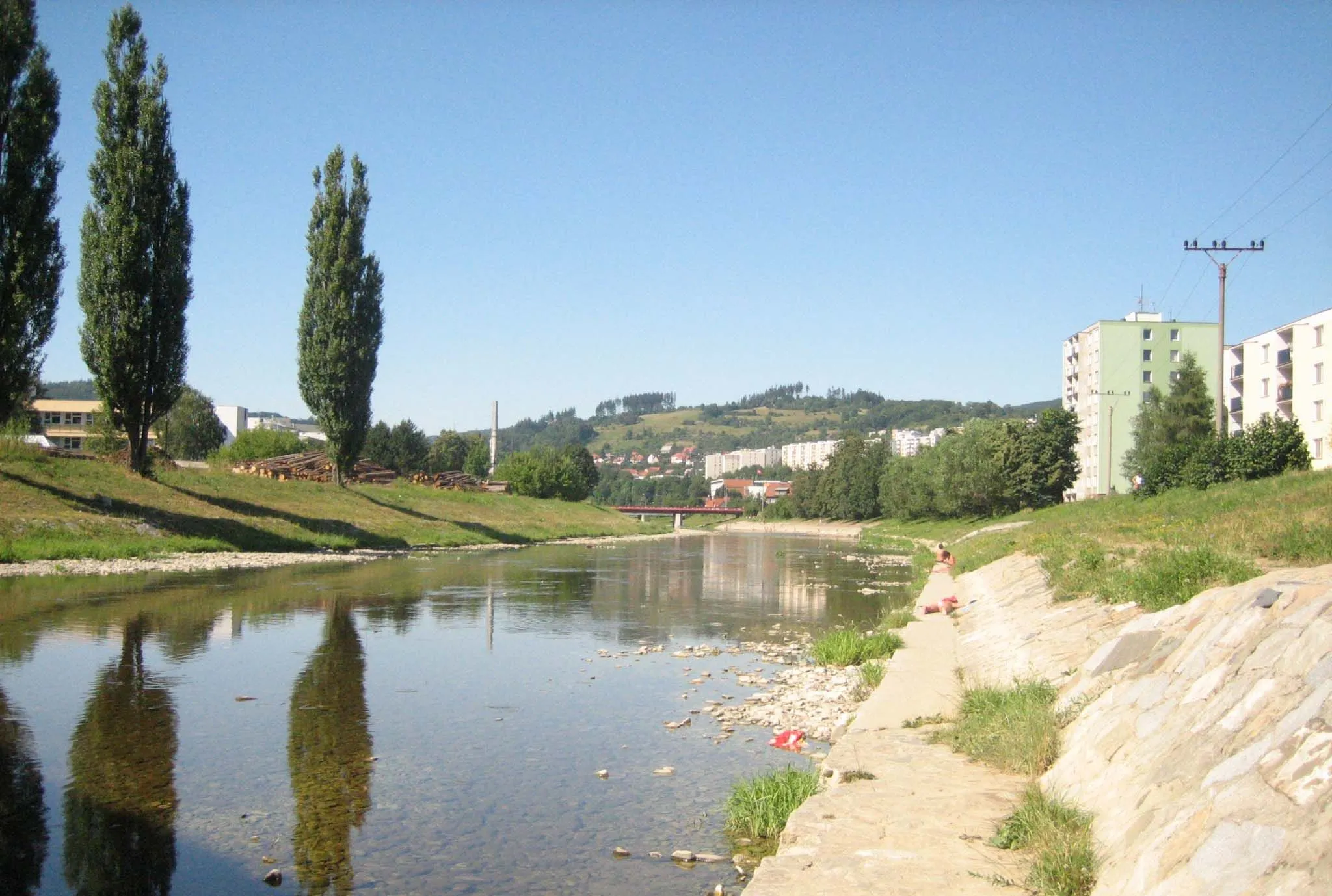
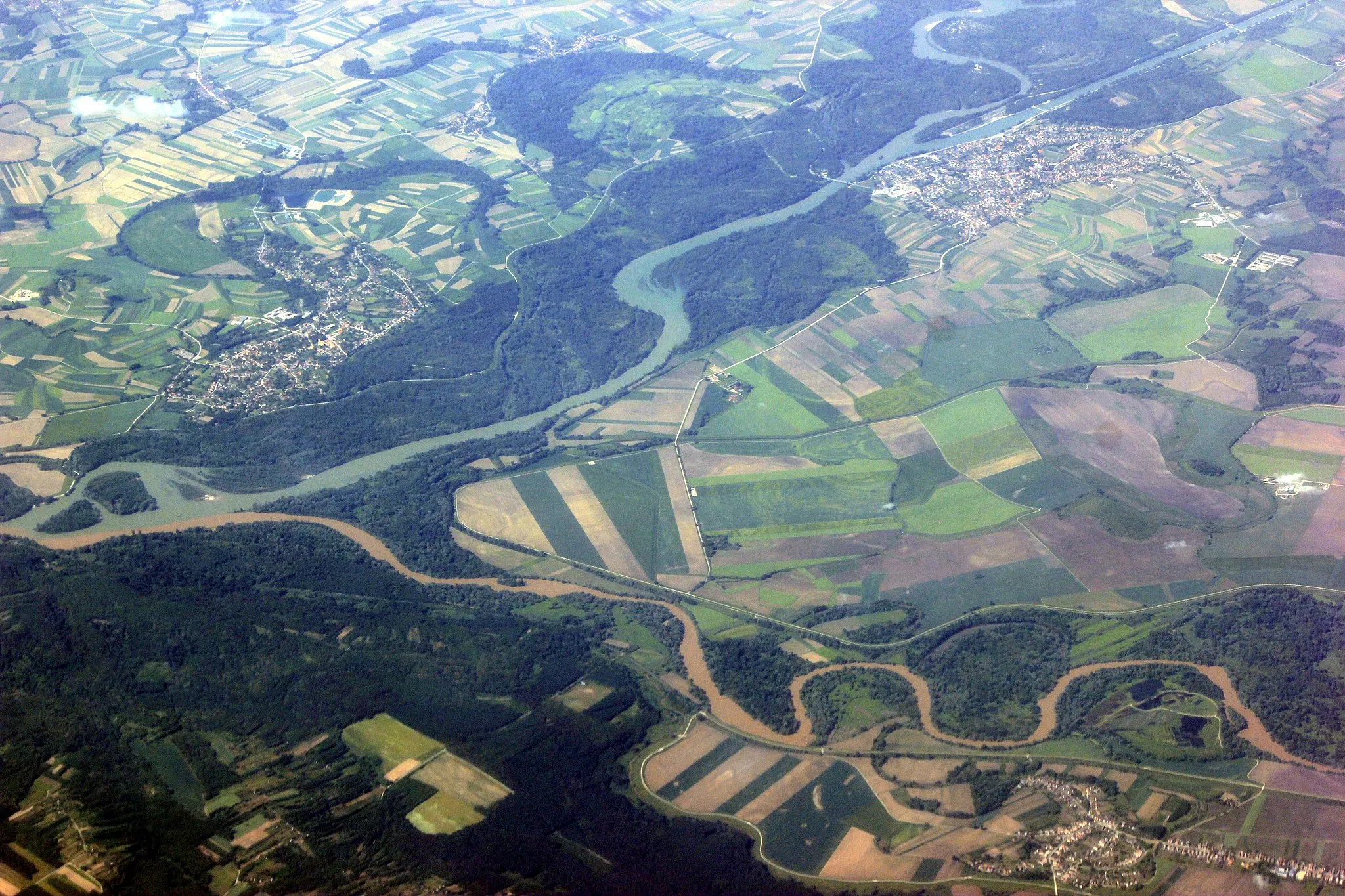
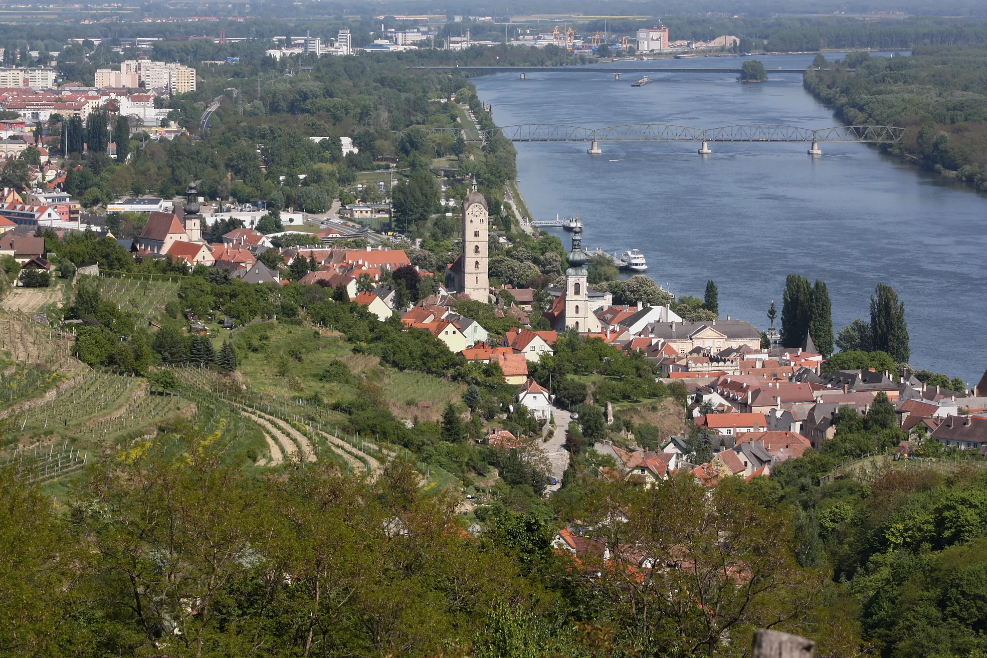
Rohrendorf bei Krems je cyklistický ráj s okouzlujícími vinicemi a malebnými cyklostezkami podél Dunaje. Navštivte zdejší vinárny a ochutnejte kvalitní víno.
![Miniaturní mapa "Okružní cyklistická trasa Feuersbrunn - Stollhofen" inspirace pro cyklisty v oblasti Niederösterreich, Austria. Vytvořeno pomocí plánovače tras Tarmacs.app](https://images.tarmacs.app/cycling-routes/routemaps/600/austria/niederosterreich/rohrendorf-bei-krems/gravel/330210.webp)
Příjemná trasa vhodná pro gravel, s výškovým převýšením 205 m na 91 km
Tato trasa nabízí malebné výhledy a zajímavé zastávky jako Baumwipfelweg a Rust im Tullnerfeld. Vhodná pro ty, kteří chtějí objevovat nepoznané a užít si klidnou jízdu na kole.
![Miniaturní mapa "Gravel Road to Gföhl and Spießberg" inspirace pro cyklisty v oblasti Niederösterreich, Austria. Vytvořeno pomocí plánovače tras Tarmacs.app](https://images.tarmacs.app/cycling-routes/routemaps/600/austria/niederosterreich/rohrendorf-bei-krems/gravel/330207.webp)
Explore the picturesque countryside with vineyards and charming villages
This 56 km gravel route takes you from Rohrendorf bei Krems through the Donauwarte and Hiesberg to the scenic viewpoints of Gföhl and Spießberg. Enjoy the natural beauty of the Leisberg and Ober-Meisling along the way.
![Miniaturní mapa "Gravelová trasa Rohrendorf bei Krems - Rebentor" inspirace pro cyklisty v oblasti Niederösterreich, Austria. Vytvořeno pomocí plánovače tras Tarmacs.app](https://images.tarmacs.app/cycling-routes/routemaps/600/austria/niederosterreich/rohrendorf-bei-krems/gravel/330192.webp)
Zajímavá trasa vhodná pro gravel, s výškovým převýšením 753 m na 77 km
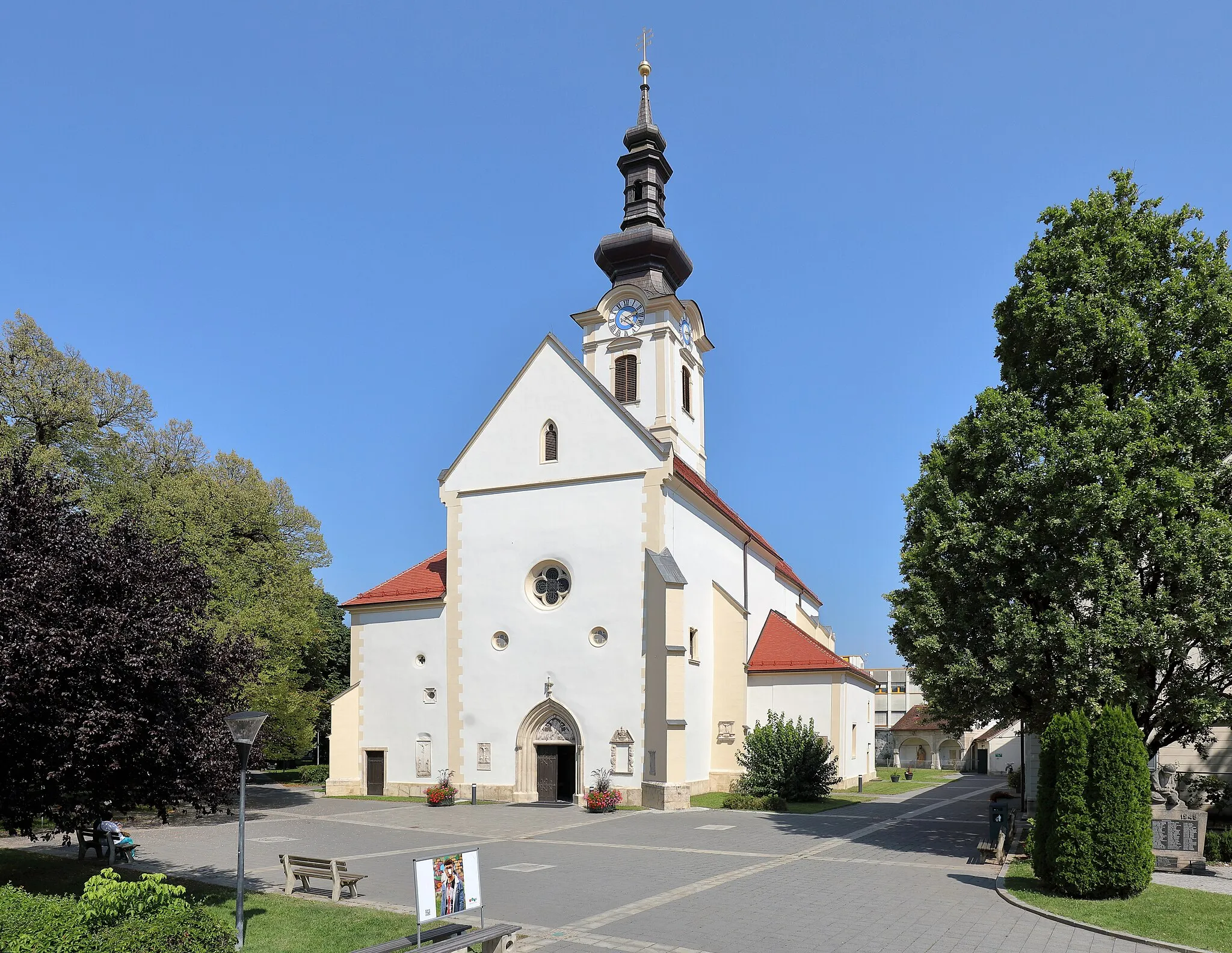
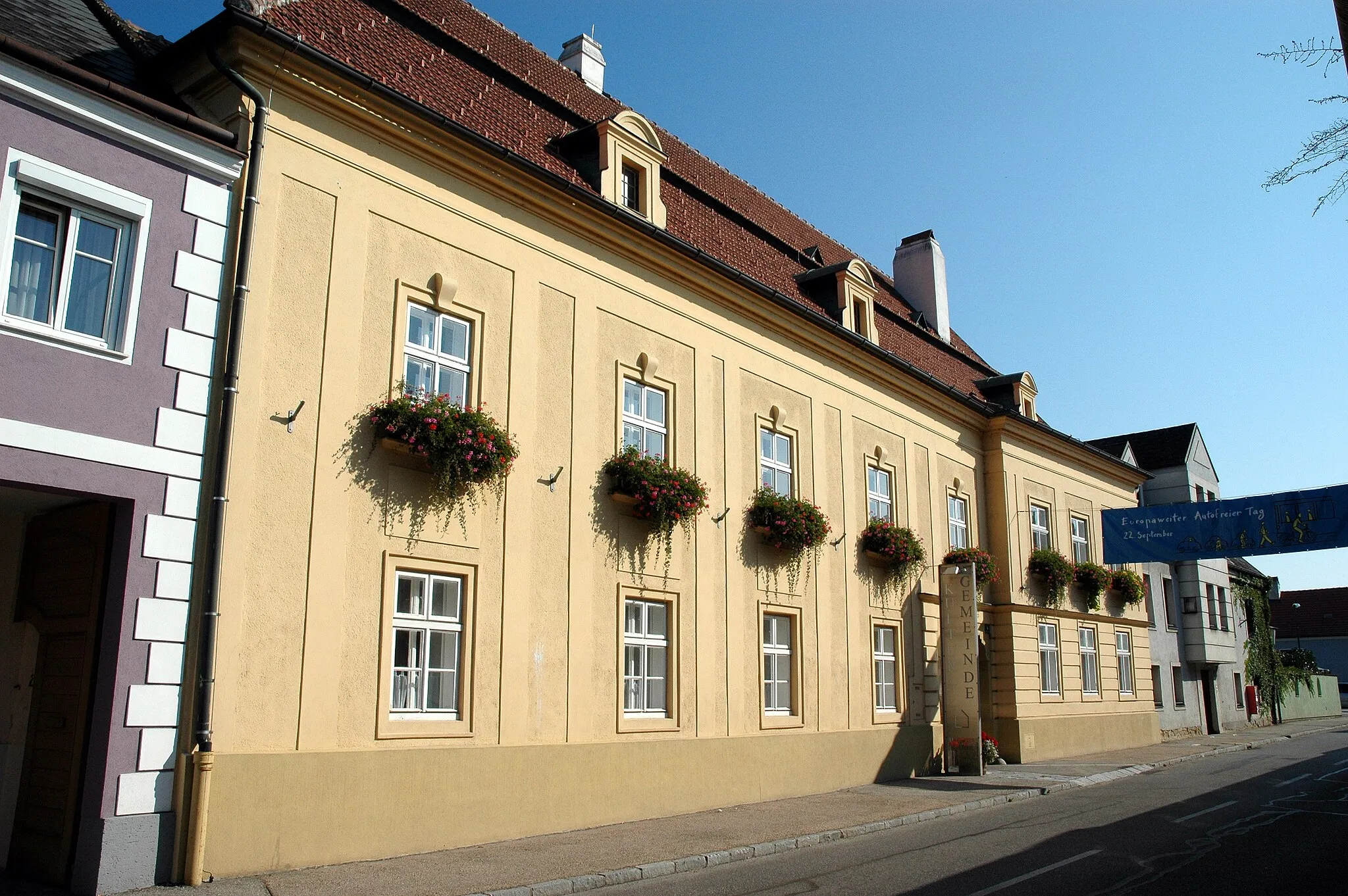
Tato trasa vede přes malebnou krajinu a historické památky, jako je Schloss Wasserburg a Schloss Mautern. Ideální pro cyklisty, kteří chtějí objevovat nové lokality a užít si klidnou jízdu na kole.
![Miniaturní mapa "Okružní cesta kolem Rohrendorfu bei Krems" inspirace pro cyklisty v oblasti Niederösterreich, Austria. Vytvořeno pomocí plánovače tras Tarmacs.app](https://images.tarmacs.app/cycling-routes/routemaps/600/austria/niederosterreich/rohrendorf-bei-krems/road/330200.webp)
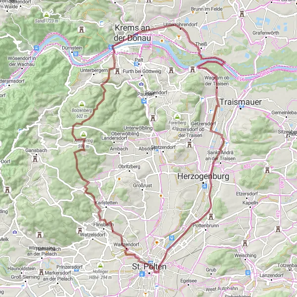
Zajímavá cyklistická trasa s mnoha zajímavými místy
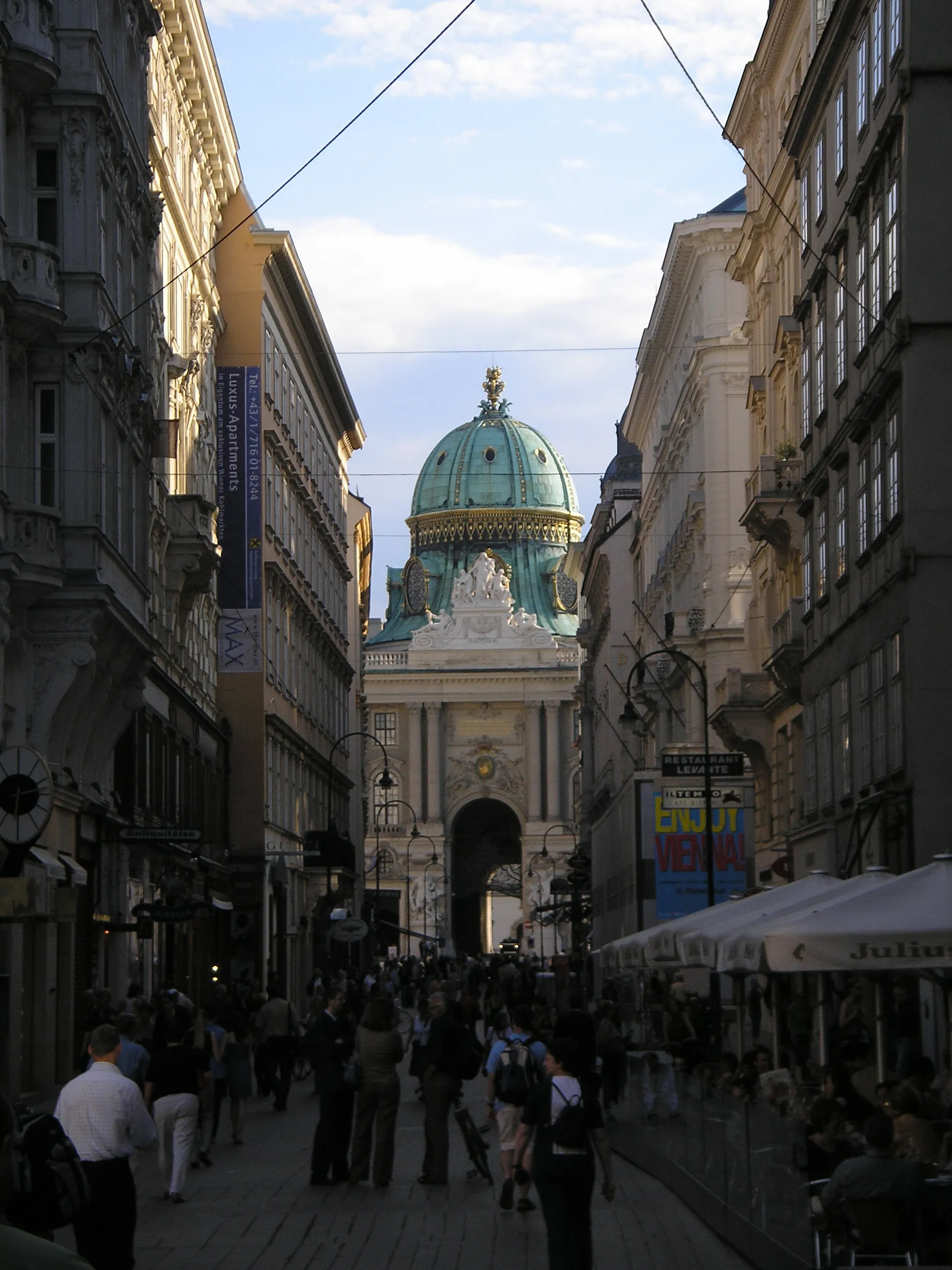
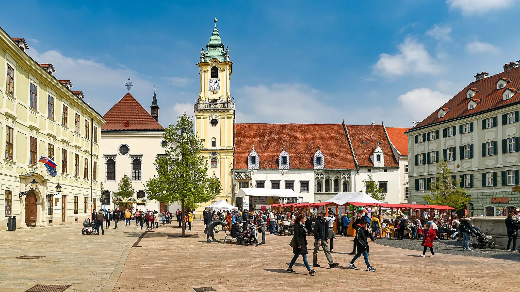
Tato okružní trasa nabízí 107 kilometrů krásných výhledů a 706 metrů převýšení. Cestou můžete navštívit místa jako Altenwörth, Würmla nebo Klangturm ve St. Pöltenu.
![Miniaturní mapa "Silniční trasa Burgruine Imbach - Rohrendorf bei Krems" inspirace pro cyklisty v oblasti Niederösterreich, Austria. Vytvořeno pomocí plánovače tras Tarmacs.app](https://images.tarmacs.app/cycling-routes/routemaps/600/austria/niederosterreich/rohrendorf-bei-krems/road/330188.webp)
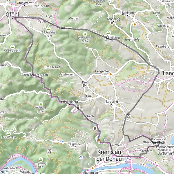
Náročná cesta pro silniční cyklisty s výškovým převýšením 592 m na 47 km
Tato trasa vede přes malebnou krajinu a historické památky, jako je Hiesbergwarte a Gföhl. Ideální pro cyklisty, kteří hledají výzvu a možnost objevování nových míst.
![Miniaturní mapa "Cyklistická cesta Fischerturm - Rohrendorf bei Krems" inspirace pro cyklisty v oblasti Niederösterreich, Austria. Vytvořeno pomocí plánovače tras Tarmacs.app](https://images.tarmacs.app/cycling-routes/routemaps/600/austria/niederosterreich/rohrendorf-bei-krems/road/330201.webp)
Výzva pro silniční cyklisty s výškovým převýšením 1158 m na 80 km
Tato trasa nabízí náročné stoupání a malebné výhledy na okolní krajinu. Zastávky u historických památek jako Burgruine Himberg a Waxenberg jsou skvělým příležitostí k relaxaci a poznávání historie regionu.
![Miniaturní mapa "Road Cycling Tour to Guntersdorf and Gigging" inspirace pro cyklisty v oblasti Niederösterreich, Austria. Vytvořeno pomocí plánovače tras Tarmacs.app](https://images.tarmacs.app/cycling-routes/routemaps/600/austria/niederosterreich/rohrendorf-bei-krems/road/330212.webp)
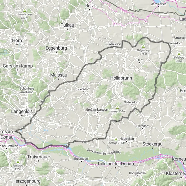
Experience the diverse landscapes and charming villages on this road cycling tour
Embark on a 148 km road cycling adventure starting from Rohrendorf bei Krems and passing through Gedersdorf, Gobelsberg, and Ravelsbach. Explore the cultural heritage of Dorfberg and Guntersdorf, before reaching the scenic views of Buchberg and Gartenberg. Finish your journey in Gigging with its tranquil surroundings and traditional charm.
![Miniaturní mapa "Gravelová trasa Rohrendorf bei Krems - Lerchenfeld" inspirace pro cyklisty v oblasti Niederösterreich, Austria. Vytvořeno pomocí plánovače tras Tarmacs.app](https://images.tarmacs.app/cycling-routes/routemaps/600/austria/niederosterreich/rohrendorf-bei-krems/gravel/330180.webp)
Poutavá cesta vhodná pro gravel, s výškovým převýšením 715 m na 76 km
Tato trasa vede přes malebnou krajinu a historické lokality, jako je Kronberg a Kuffern. Ideální pro cyklisty, kteří chtějí objevovat nepoznané a užít si přírodní krásy regionu.
![Miniaturní mapa "Gravel Adventure to Weinbergschnecke and Krustetten" inspirace pro cyklisty v oblasti Niederösterreich, Austria. Vytvořeno pomocí plánovače tras Tarmacs.app](https://images.tarmacs.app/cycling-routes/routemaps/600/austria/niederosterreich/rohrendorf-bei-krems/gravel/330204.webp)
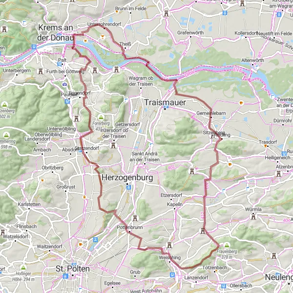
Discover the hidden gems of Weinviertel region on this gravel ride
Embark on a 48 km gravel adventure from Rohrendorf bei Krems to explore Stollhofen and Fuchsberg, before reaching the unique sights of WEINBERGSCHNECKE and Krustetten. Enjoy the rolling hills and vineyards of the region.
![Miniaturní mapa "Výzva kopcovité trasy kolem Rohrendorfu bei Krems" inspirace pro cyklisty v oblasti Niederösterreich, Austria. Vytvořeno pomocí plánovače tras Tarmacs.app](https://images.tarmacs.app/cycling-routes/routemaps/600/austria/niederosterreich/rohrendorf-bei-krems/road/330304.webp)
Náročná cesta s mnoha úžasnými výhledy
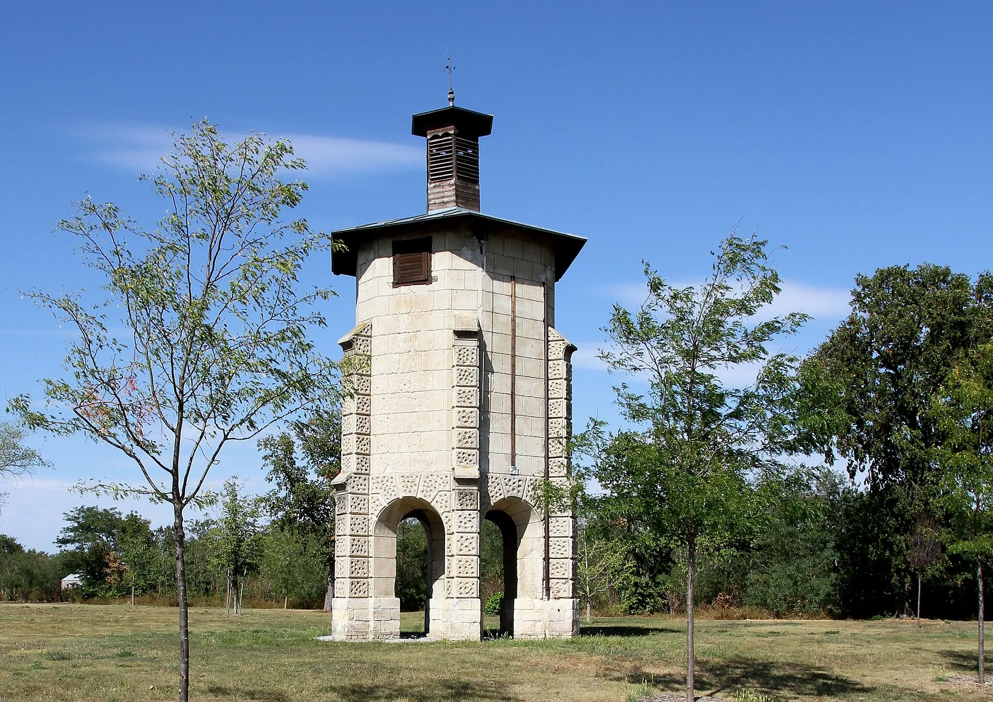
Tato okružní trasa se táhne 136 kilometrů a nabízí 2139 metrů převýšení. Můžete se těšit na místa jako Schloss Grabenhof, Maria Taferl nebo zříceninu hradu Imbach.
Cyklotrasy v okolí:
![Obrázek Lerchenfeld](https://images.tarmacs.app/cycling-routes/covers/austria/niederosterreich/lerchenfeld-5.webp)
![Obrázek Krems an der Donau](https://images.tarmacs.app/cycling-routes/covers/austria/niederosterreich/krems-an-der-donau-3.webp)
![Obrázek Langenlois](https://images.tarmacs.app/cycling-routes/covers/austria/niederosterreich/langenlois-5.webp)
![Obrázek Rehberg](https://images.tarmacs.app/cycling-routes/covers/austria/niederosterreich/rehberg-2.webp)
![Obrázek Furth bei Göttweig](https://images.tarmacs.app/cycling-routes/covers/austria/niederosterreich/furth-bei-goettweig-5.webp)
![Obrázek Stein an der Donau](https://images.tarmacs.app/cycling-routes/covers/austria/niederosterreich/stein-an-der-donau-4.webp)
![Obrázek Hadersdorf am Kamp](https://images.tarmacs.app/cycling-routes/covers/austria/niederosterreich/hadersdorf-am-kamp-5.webp)
![Obrázek Mautern](https://images.tarmacs.app/cycling-routes/covers/austria/niederosterreich/mautern-5.webp)
![Obrázek Traismauer](https://images.tarmacs.app/cycling-routes/covers/austria/niederosterreich/traismauer-5.webp)
Okolní oblasti:
![Obrázek Burgenland](https://images.tarmacs.app/cycling-routes/covers/austria/burgenland/andau-5.webp)
![Obrázek Vídeň](https://images.tarmacs.app/cycling-routes/covers/austria/wien/innere-stadt-3.webp)
![Obrázek Kärnten](https://images.tarmacs.app/cycling-routes/covers/austria/karnten/althofen-3.webp)
![Obrázek Steiermark](https://images.tarmacs.app/cycling-routes/covers/austria/steiermark/leibnitz-3.webp)
![Obrázek Oberösterreich](https://images.tarmacs.app/cycling-routes/covers/austria/oberosterreich/schlierbach-1.webp)
![Obrázek Středočeský kraj](https://images.tarmacs.app/cycling-routes/covers/czech-republic/stredni-cechy/zdice-4.webp)
![Obrázek Jihozápad](https://images.tarmacs.app/cycling-routes/covers/czech-republic/jihozapad/vyssi-brod-1.webp)
![Obrázek Jihovýchod](https://images.tarmacs.app/cycling-routes/covers/czech-republic/jihovychod/strelice-5.webp)
![Obrázek Střední Morava](https://images.tarmacs.app/cycling-routes/covers/czech-republic/stredni-morava/vsetin-4.webp)
![Obrázek Nyugat-Dunántúl](https://images.tarmacs.app/cycling-routes/covers/hungary/nyugat-dunantul/murakeresztur-4.webp)
![Obrázek Bratislavský kraj](https://images.tarmacs.app/cycling-routes/covers/slovakia/bratislavsky-kraj/bratislava-2.webp)
![Obrázek Západné Slovensko](https://images.tarmacs.app/cycling-routes/covers/slovakia/zapadne-slovensko/surany-5.webp)