![Cover image](https://images.tarmacs.app/cycling-routes/covers/austria/oberosterreich/micheldorf-in-oberoesterreich-4.webp)
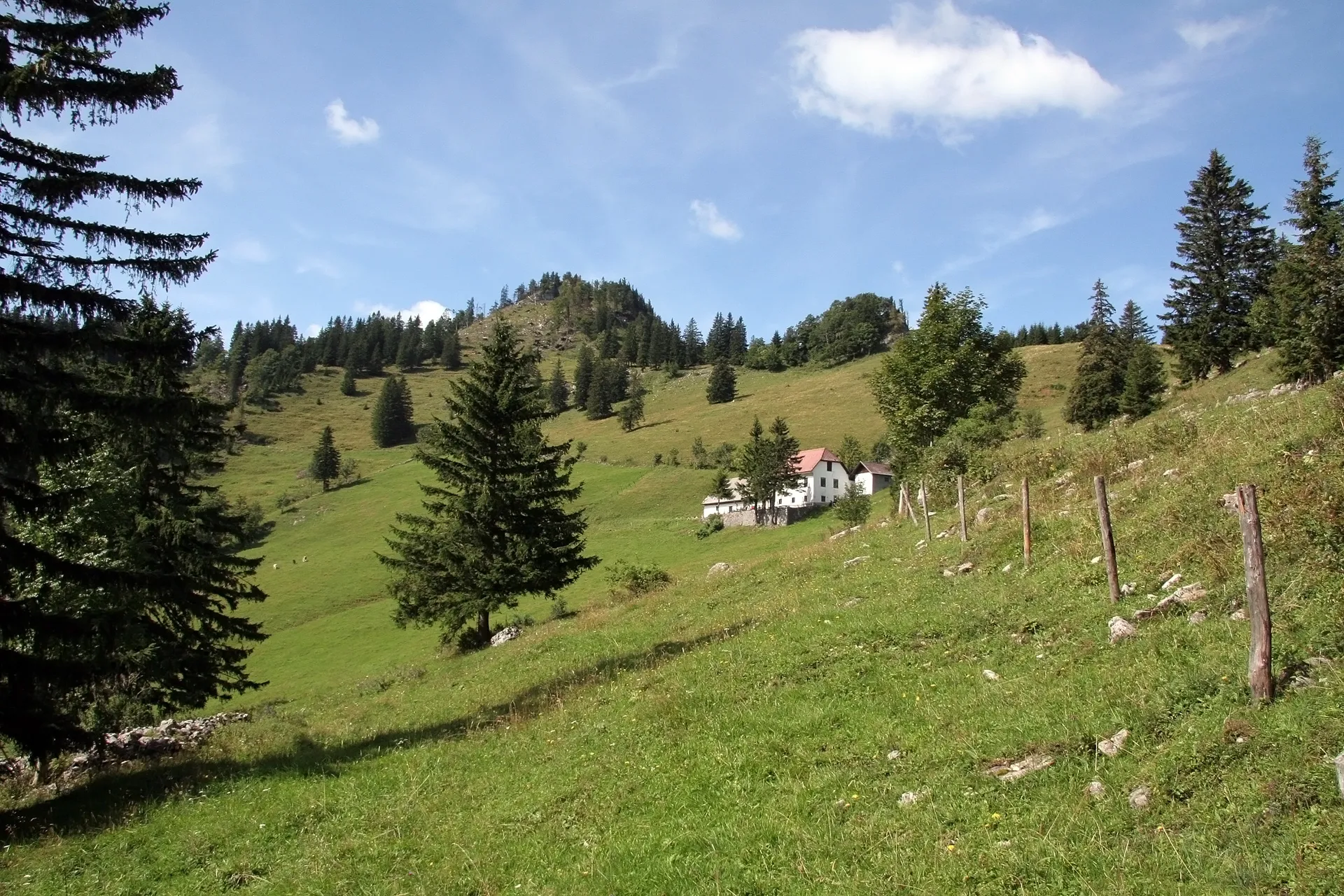
Ideální místo pro horskou cyklistiku a výzvy na kopcích.
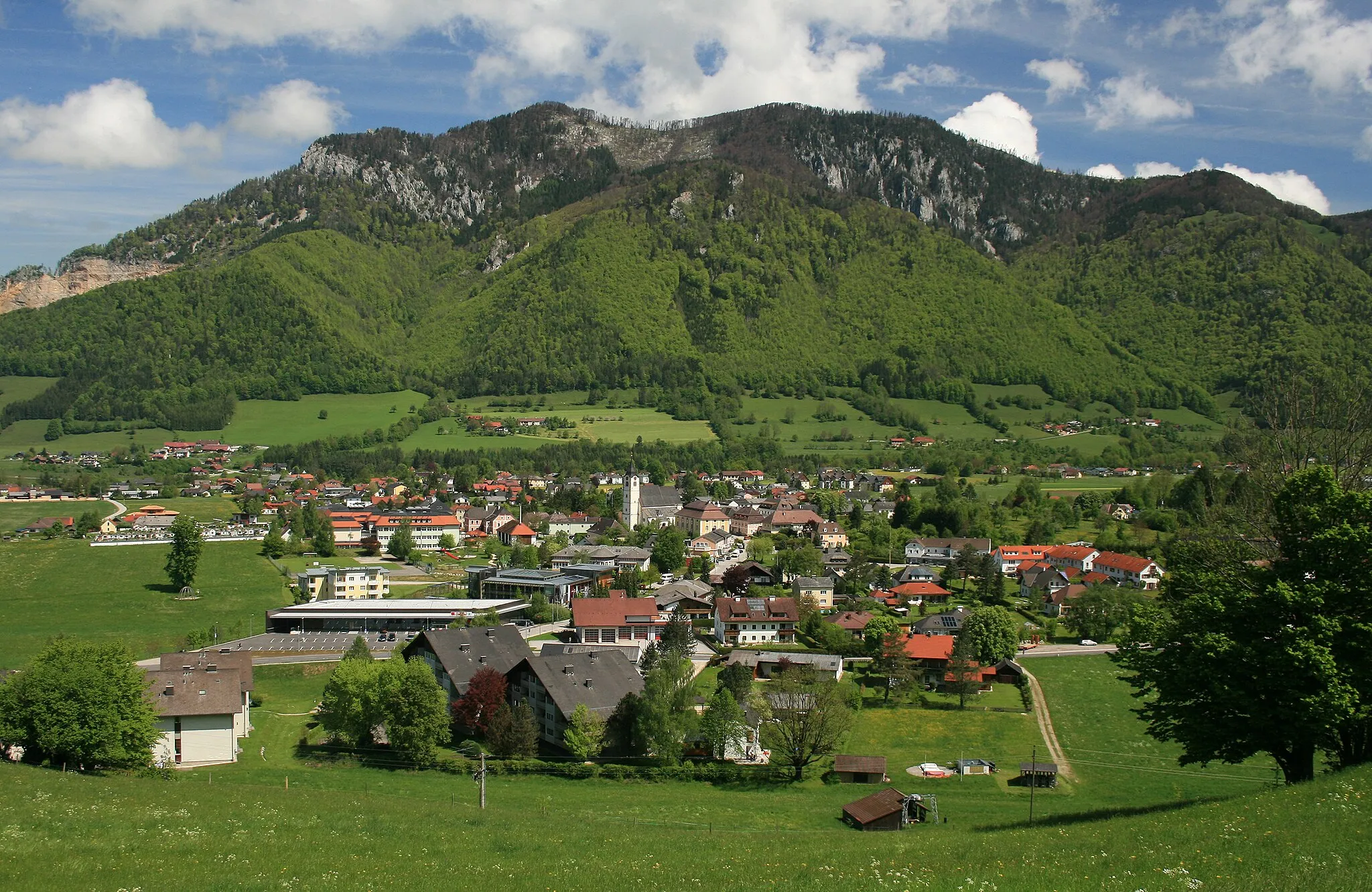
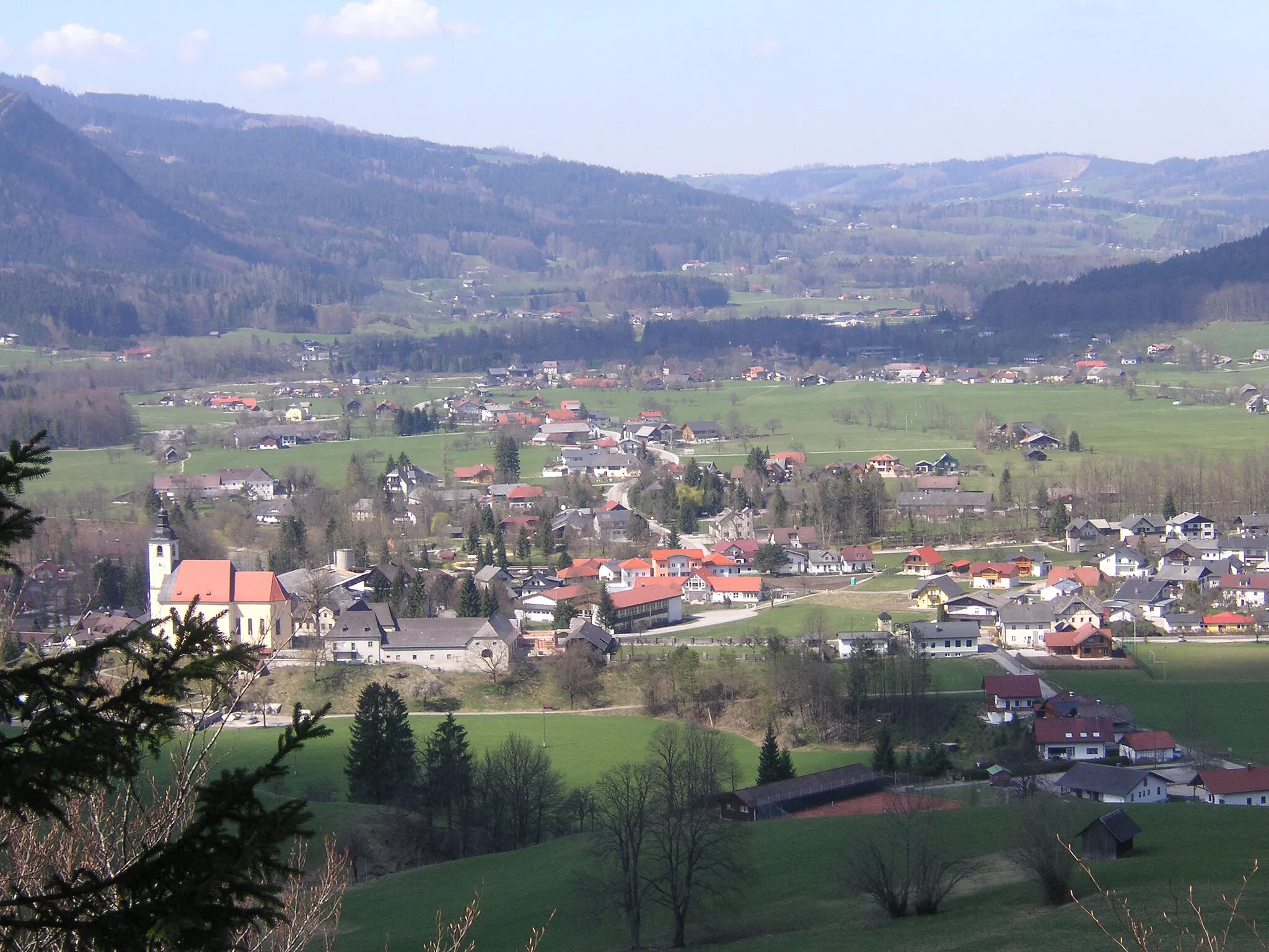
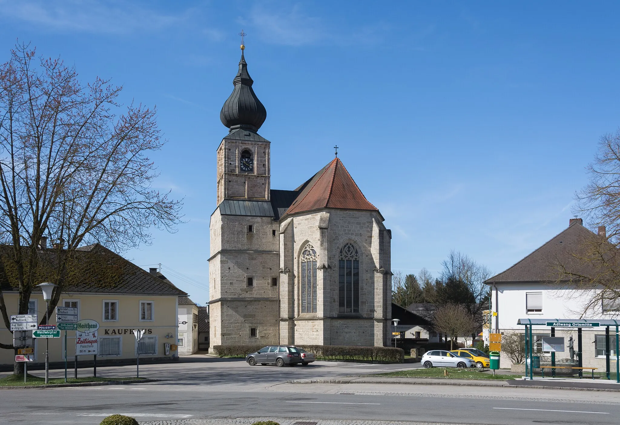
Cyklistické trasy kolem Micheldorf in Oberoesterreich
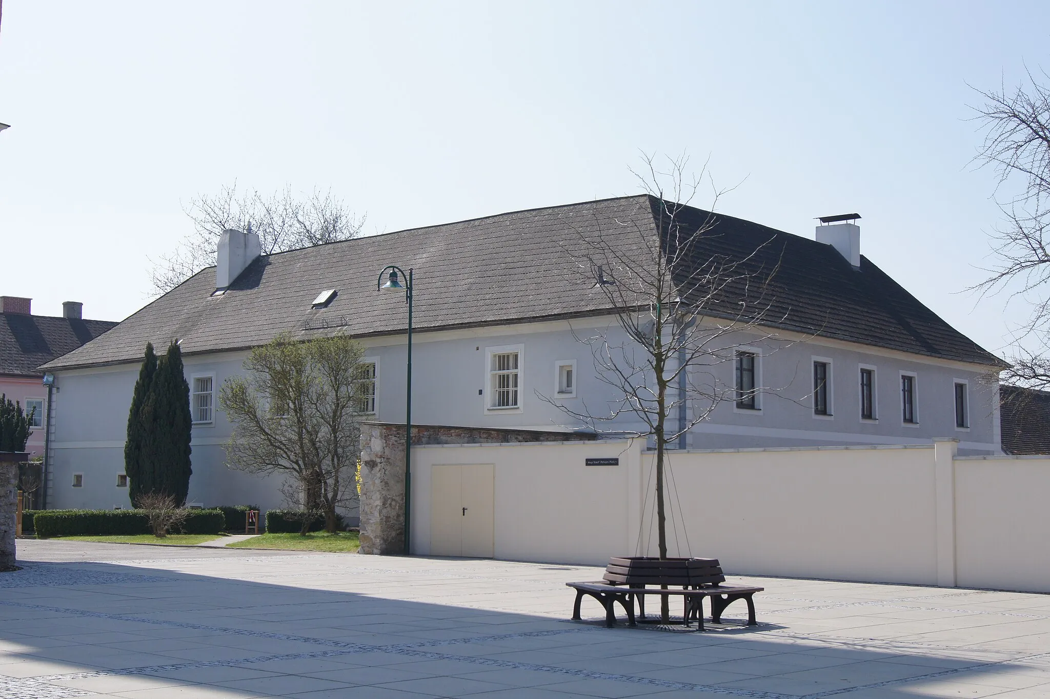
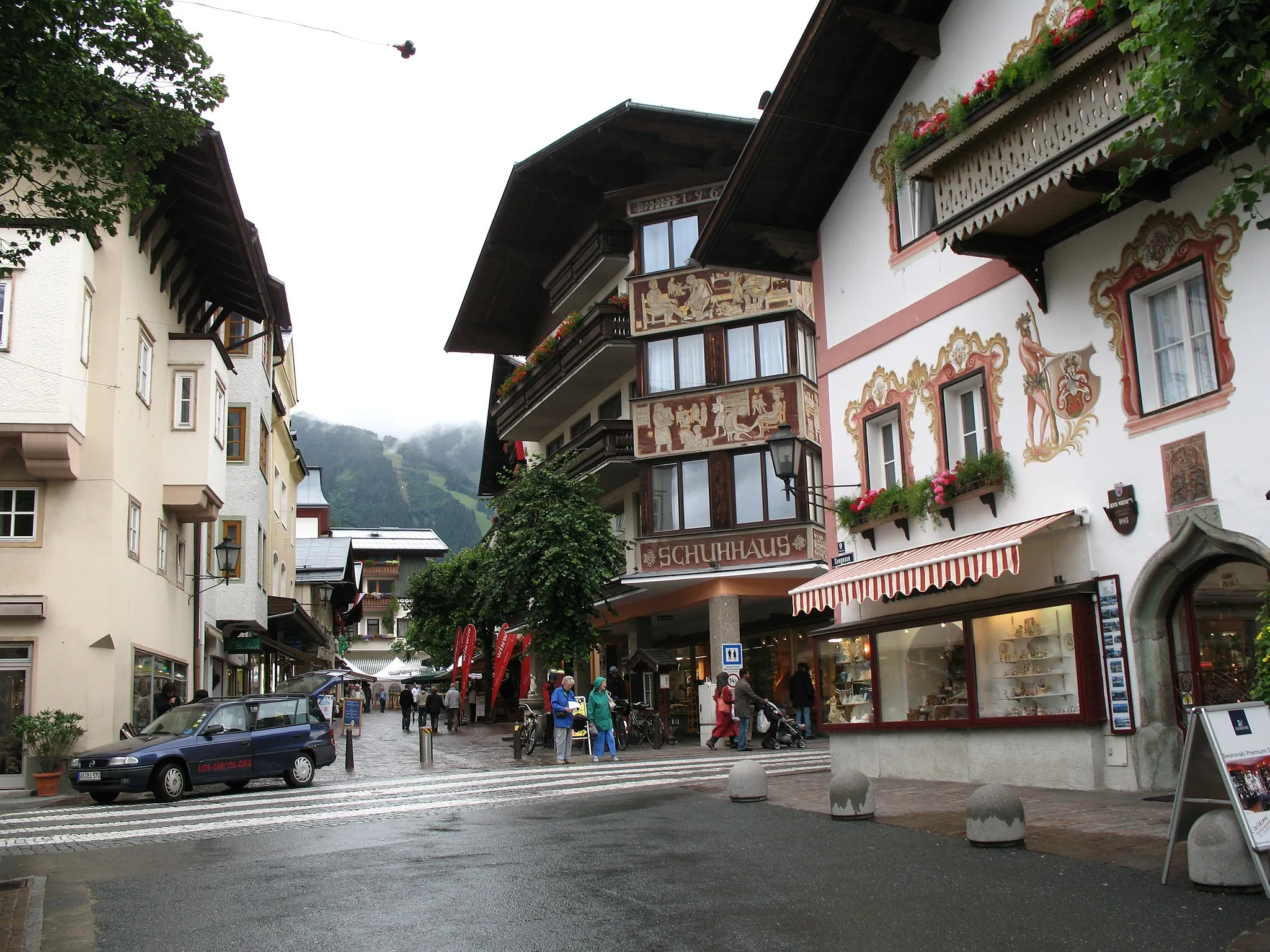
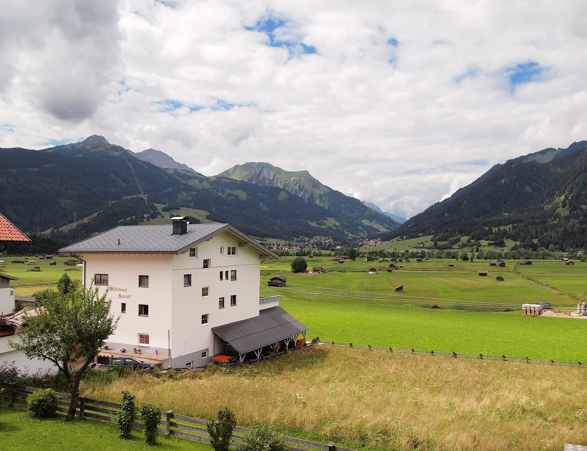
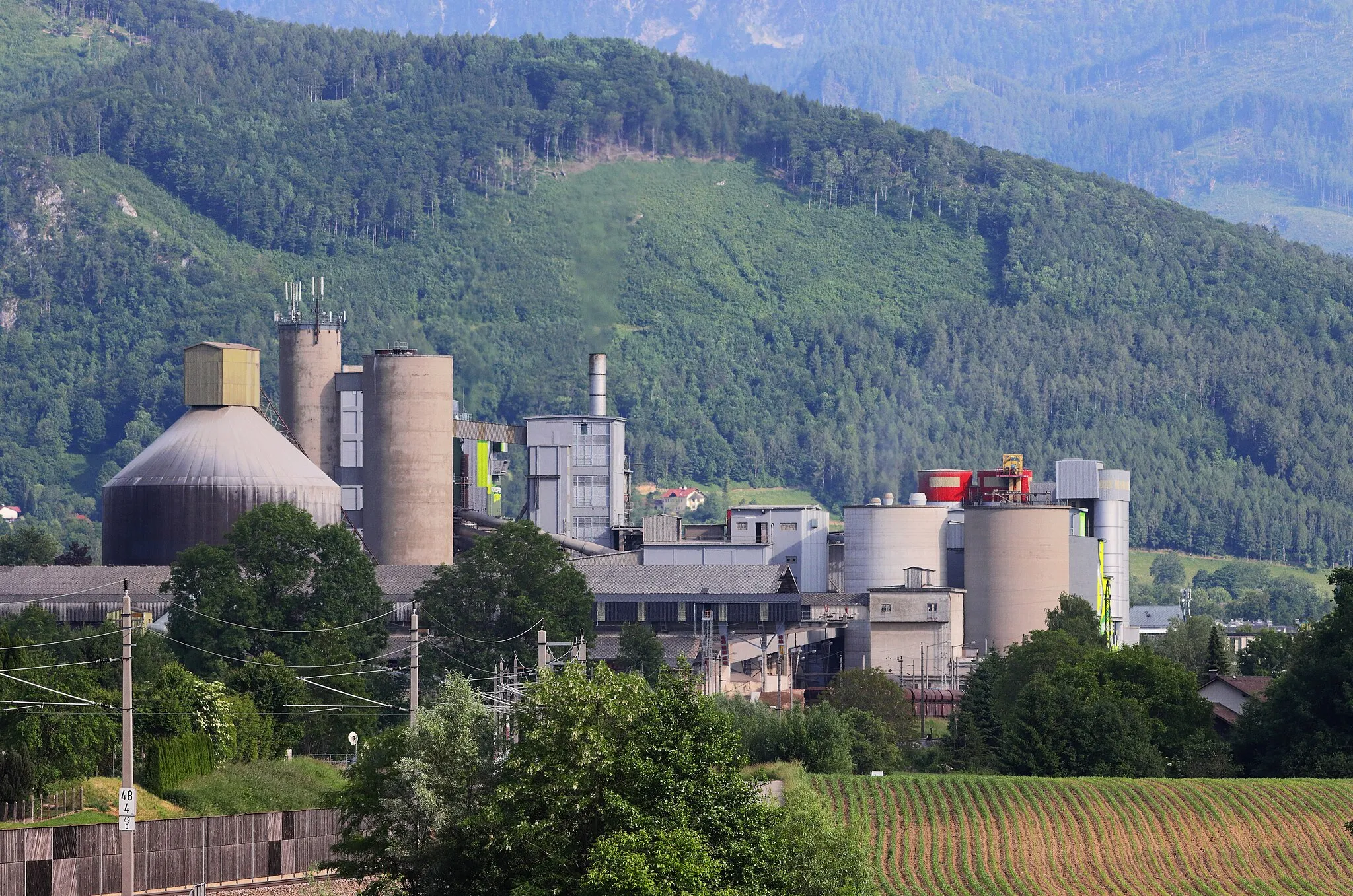
Micheldorf in Oberösterreich nabízí cyklistům zajímavé trasy a kopcovitý terén vhodný pro horskou cyklistiku. V okolí se nachází několik známých stoupání a cyklistických památek.
![Miniaturní mapa "Unikátní dráha na kole Wartberg an der Krems" inspirace pro cyklisty v oblasti Oberösterreich, Austria. Vytvořeno pomocí plánovače tras Tarmacs.app](https://images.tarmacs.app/cycling-routes/routemaps/600/austria/oberosterreich/micheldorf-in-oberoesterreich/road/163614.webp)
Malebná cesta plná historie a kultury
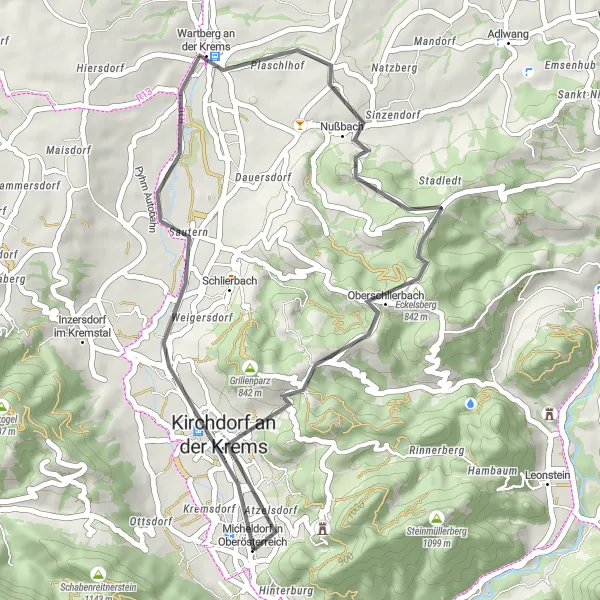
Tato 37 km dlouhá trasa vede okolo malebných městeček a historických památek. Projekt se o 617 metrů a jeho výjimečnost spočívá v úžasném pohledu na maďarský zámek Eckelsberg.
![Miniaturní mapa "Jízda na kole kolem Pettenbach" inspirace pro cyklisty v oblasti Oberösterreich, Austria. Vytvořeno pomocí plánovače tras Tarmacs.app](https://images.tarmacs.app/cycling-routes/routemaps/600/austria/oberosterreich/micheldorf-in-oberoesterreich/road/163601.webp)
Zážitek z úžasné starobylé architektury
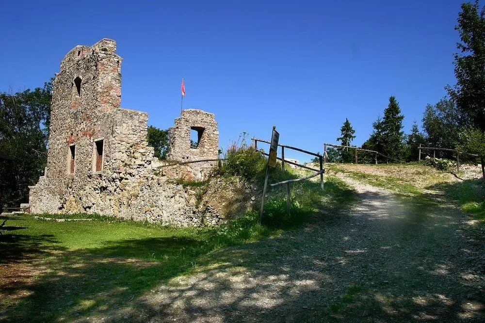
Tato 39 km dlouhá trasa nabízí malebný výhled na starobylé obce a historické památky. Průměrný stoupání činí 493 m. Projedete kolem Kunzenberg, Steinbach am Ziehberg a dalších zajímavých míst.
![Miniaturní mapa "Oberösterreich Road Adventure" inspirace pro cyklisty v oblasti Oberösterreich, Austria. Vytvořeno pomocí plánovače tras Tarmacs.app](https://images.tarmacs.app/cycling-routes/routemaps/600/austria/oberosterreich/micheldorf-in-oberoesterreich/road/163628.webp)
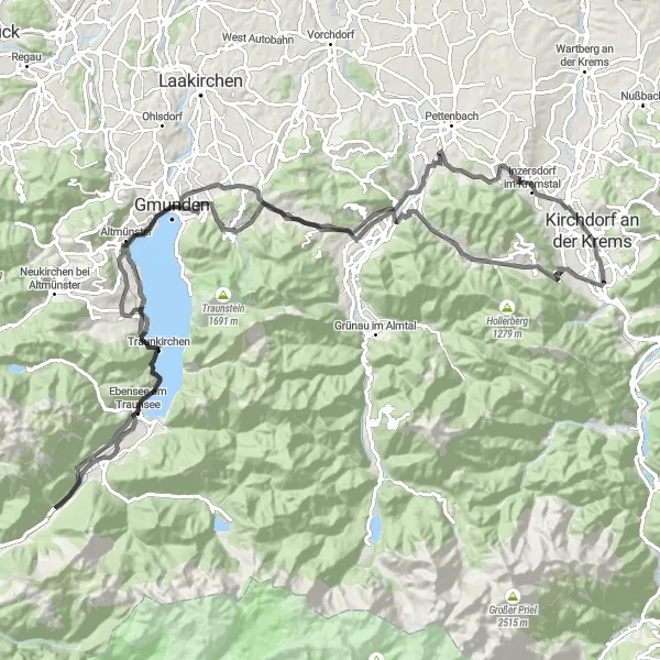
Embark on a epic road cycling journey through the diverse landscapes of Oberösterreich.
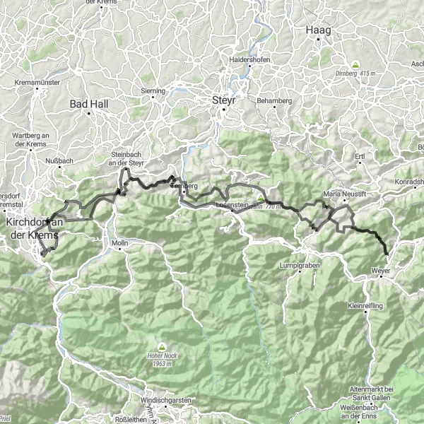
Get ready for a challenging ride with 4265m of ascent on this 146km route. Highlights include the historic ruins of Kirchdorf an der Krems and the scenic Sonnkogel, offering stunning views of the surrounding mountains.
![Miniaturní mapa "Gravelová jízda na kole kolem Molln" inspirace pro cyklisty v oblasti Oberösterreich, Austria. Vytvořeno pomocí plánovače tras Tarmacs.app](https://images.tarmacs.app/cycling-routes/routemaps/600/austria/oberosterreich/micheldorf-in-oberoesterreich/gravel/163621.webp)
Výzva pro dobrodruhy mezi kolaři
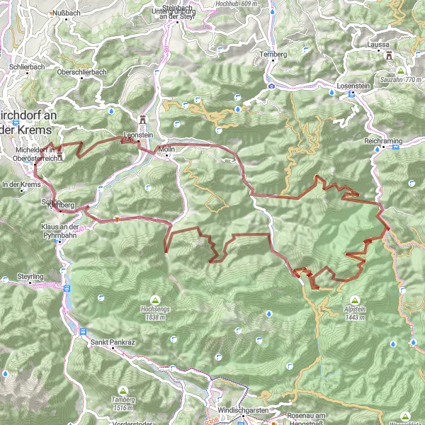
Tato 98 km dlouhá trasa je ideální pro odvážné a dobrodružné cyklisty, kteří hledají výzvy v neprobádané krajině. Trasa nabízí výhled na Hirschwaldstein, Hollerkogel a další krásná místa. Průměrné stoupání dosahuje 3443 m.
![Miniaturní mapa "Scenic Oberösterreich Loop" inspirace pro cyklisty v oblasti Oberösterreich, Austria. Vytvořeno pomocí plánovače tras Tarmacs.app](https://images.tarmacs.app/cycling-routes/routemaps/600/austria/oberosterreich/micheldorf-in-oberoesterreich/gravel/163728.webp)
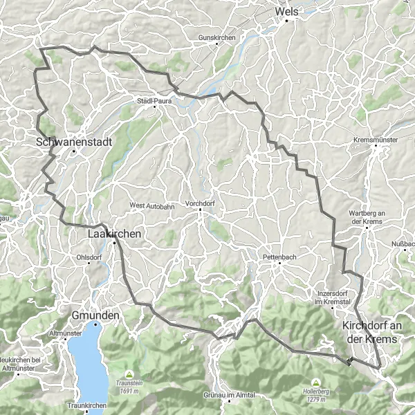
Embark on a challenging gravel ride through the stunning landscapes of Oberösterreich.
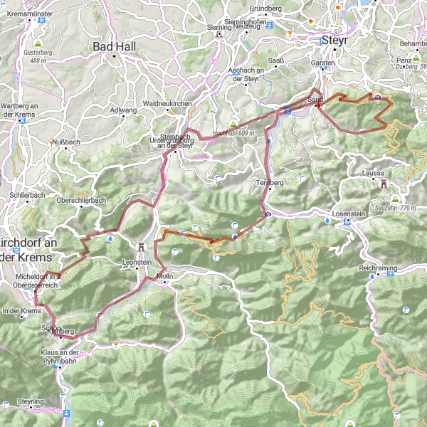
Enjoy a mix of challenging climbs and exhilarating descents on this 96km route with 2525m of ascent. Highlights include the historic Burg Altpernstein and the scenic Schoberstein, offering breathtaking views of the region.
![Miniaturní mapa "Cyklistická trasa Micheldorf - Gmunden" inspirace pro cyklisty v oblasti Oberösterreich, Austria. Vytvořeno pomocí plánovače tras Tarmacs.app](https://images.tarmacs.app/cycling-routes/routemaps/600/austria/oberosterreich/micheldorf-in-oberoesterreich/road/216024.webp)
Cesta plná úchvatných výhledů a historických památek
Tato 120 km dlouhá cyklistická trasa vede přes Kirchdorf an der Krems a Traunkirchen a nabízí pohled na hrad Altpernstein a zámek Ort. Cestou potkáte také Kleiner Sonnstein a Brandeck s nádhernými panoramatickými výhledy.
![Miniaturní mapa "Gravel Micheldorf Circuit" inspirace pro cyklisty v oblasti Oberösterreich, Austria. Vytvořeno pomocí plánovače tras Tarmacs.app](https://images.tarmacs.app/cycling-routes/routemaps/600/austria/oberosterreich/micheldorf-in-oberoesterreich/gravel/163626.webp)
Discover charming villages and stunning landscapes in this gravel cycling adventure near Micheldorf.
Explore the scenic countryside on this 95km route with 1612m of ascent. Highlights include the medieval Kunzenberg and the picturesque Steinbach am Ziehberg, offering a glimpse into the region's history and natural beauty.
![Miniaturní mapa "Okružní cyklistická trasa Wartberg an der Krems" inspirace pro cyklisty v oblasti Oberösterreich, Austria. Vytvořeno pomocí plánovače tras Tarmacs.app](https://images.tarmacs.app/cycling-routes/routemaps/600/austria/oberosterreich/micheldorf-in-oberoesterreich/road/163616.webp)
Zajímavá cesta s výhledem do přírody
Tato 121 km dlouhá trasa vede kolem Pröller, Wartberg an der Krems a dalších malebných míst. Cyklisté si užijí příjemný výstup o 1358 m a projedou historickým městem Kematen an der Krems. Trasa končí u hradu Kessing.
![Miniaturní mapa "Kulturně historická cyklostezka Steyrermühl - Edt bei Lambach" inspirace pro cyklisty v oblasti Oberösterreich, Austria. Vytvořeno pomocí plánovače tras Tarmacs.app](https://images.tarmacs.app/cycling-routes/routemaps/600/austria/oberosterreich/micheldorf-in-oberoesterreich/road/163625.webp)
Oživení historie prostřednictvím cyklistiky
Na této 117 km dlouhé trase objevíte krásu a bohatství kulturního dědictví kraje. S průměrným stoupáním 1202 m projedete kolem Steinbach am Ziehberg, Hamberg, Moosberg a dalších zajímavých míst.
![Miniaturní mapa "Micheldorf Highlights Tour" inspirace pro cyklisty v oblasti Oberösterreich, Austria. Vytvořeno pomocí plánovače tras Tarmacs.app](https://images.tarmacs.app/cycling-routes/routemaps/600/austria/oberosterreich/micheldorf-in-oberoesterreich/road/192065.webp)
Explore the highlights near Micheldorf on this scenic road cycling tour.
Discover charming villages and spectacular viewpoints on this 71km route with 919m of ascent. Highlights include the medieval Kunzenberg and the scenic Gusterberg, offering panoramic views of the region.
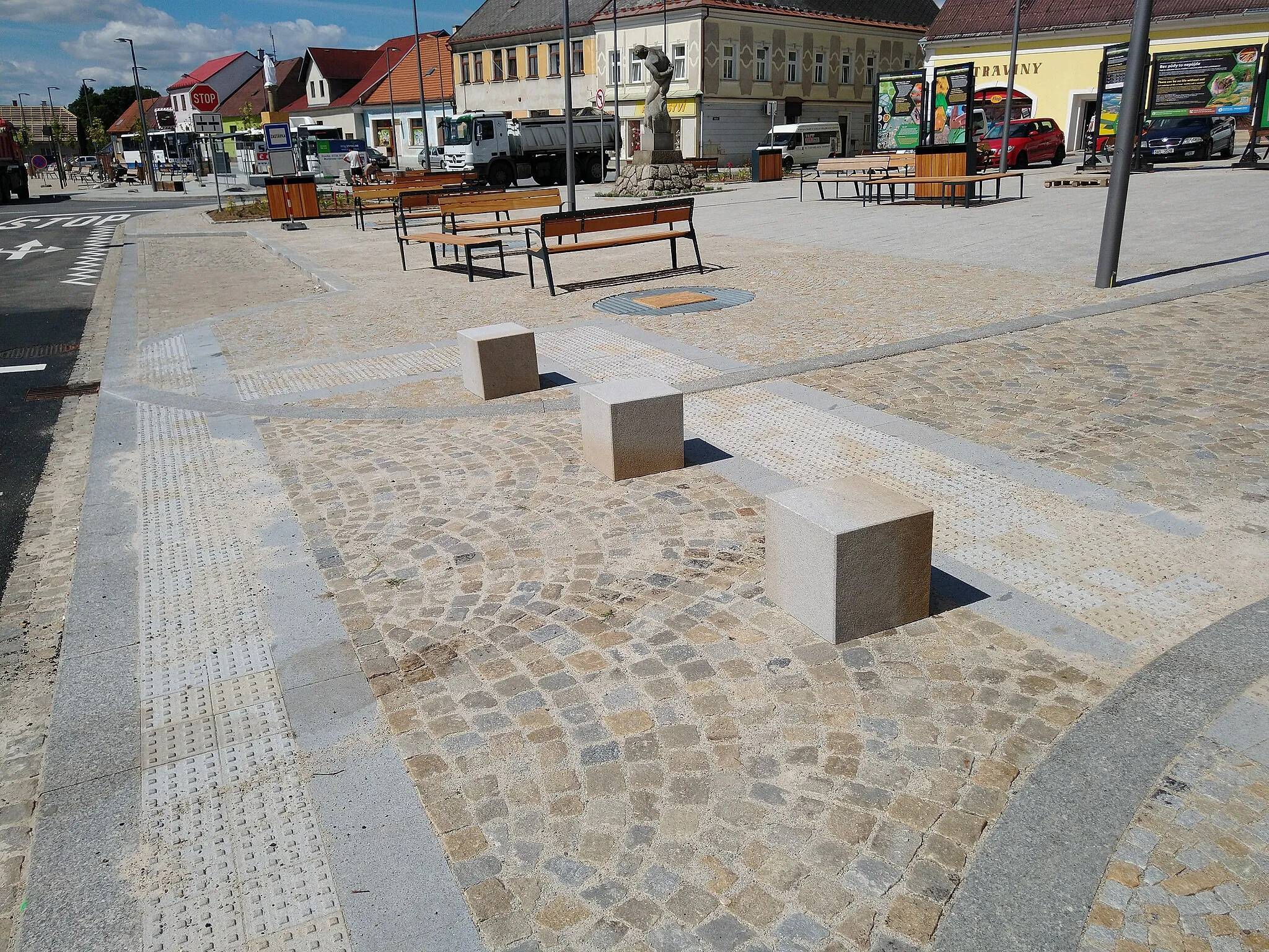
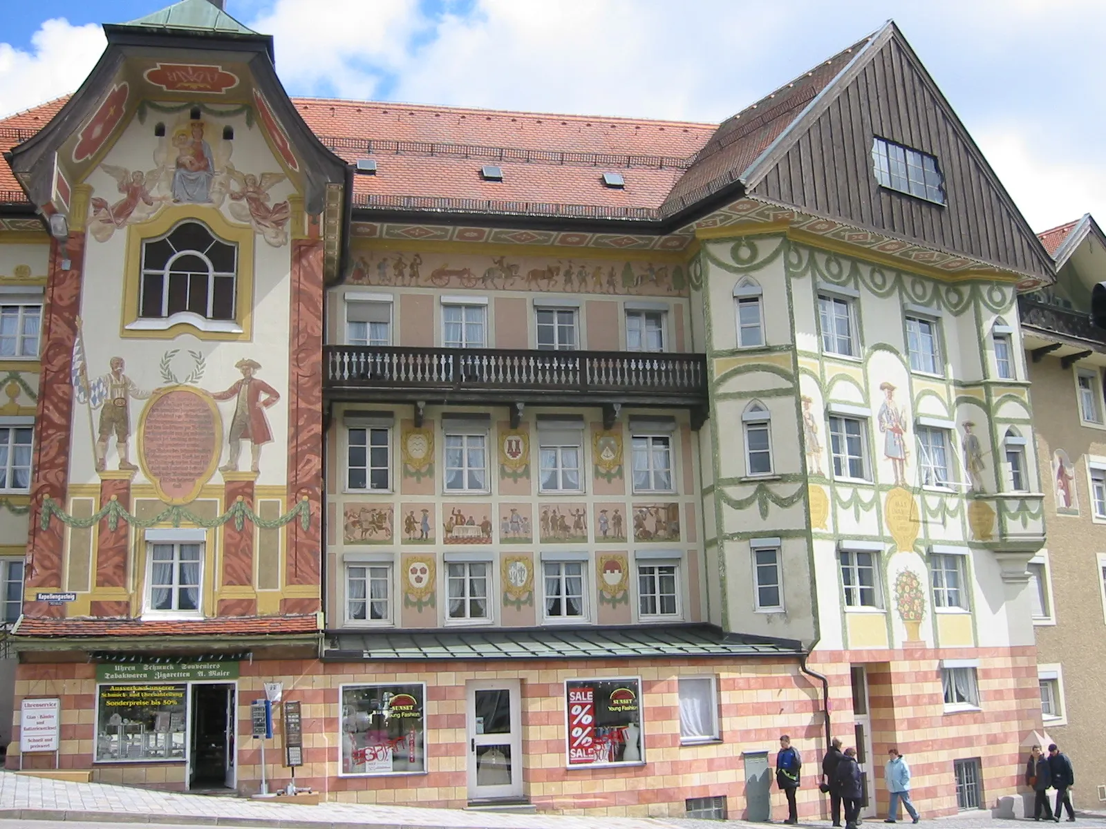
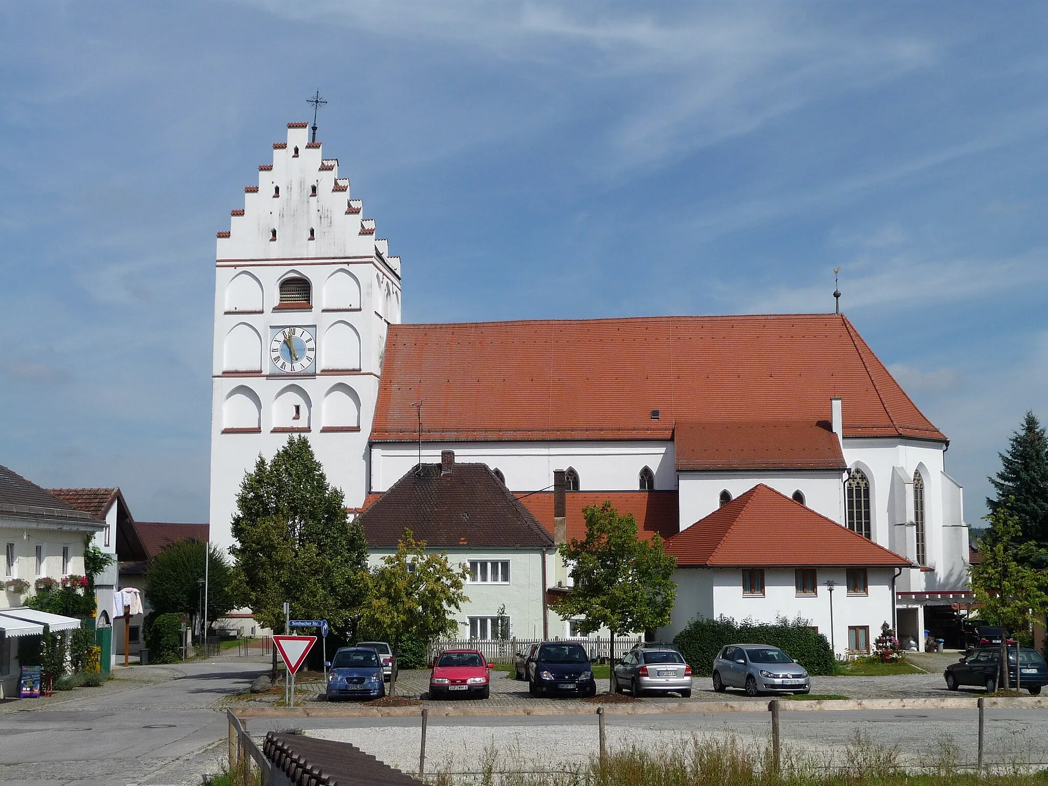
Cyklotrasy v okolí:
![Obrázek Kirchdorf an der Krems](https://images.tarmacs.app/cycling-routes/covers/austria/oberosterreich/kirchdorf-an-der-krems-5.webp)
![Obrázek Schlierbach](https://images.tarmacs.app/cycling-routes/covers/austria/oberosterreich/schlierbach-5.webp)
![Obrázek Leonstein](https://images.tarmacs.app/cycling-routes/covers/austria/oberosterreich/leonstein-4.webp)
![Obrázek Molln](https://images.tarmacs.app/cycling-routes/covers/austria/oberosterreich/molln-5.webp)
![Obrázek Pettenbach](https://images.tarmacs.app/cycling-routes/covers/austria/oberosterreich/pettenbach-5.webp)
![Obrázek Grünau im Almtal](https://images.tarmacs.app/cycling-routes/covers/austria/oberosterreich/gruenau-im-almtal-4.webp)
![Obrázek Mühldorf](https://images.tarmacs.app/cycling-routes/covers/austria/oberosterreich/muehldorf-5.webp)
![Obrázek Adlwang](https://images.tarmacs.app/cycling-routes/covers/austria/oberosterreich/adlwang-3.webp)
![Obrázek Ternberg](https://images.tarmacs.app/cycling-routes/covers/austria/oberosterreich/ternberg-4.webp)
Okolní oblasti:
![Obrázek Niederösterreich](https://images.tarmacs.app/cycling-routes/covers/austria/niederosterreich/ober-grafendorf-2.webp)
![Obrázek Vídeň](https://images.tarmacs.app/cycling-routes/covers/austria/wien/vienna-1.webp)
![Obrázek Kärnten](https://images.tarmacs.app/cycling-routes/covers/austria/karnten/viktringer-vorstadt-2.webp)
![Obrázek Steiermark](https://images.tarmacs.app/cycling-routes/covers/austria/steiermark/kirchenviertel-4.webp)
![Obrázek Salzburg](https://images.tarmacs.app/cycling-routes/covers/austria/salzburg/zell-am-see-3.webp)
![Obrázek Tirol](https://images.tarmacs.app/cycling-routes/covers/austria/tirol/ehrwald-2.webp)
![Obrázek Středočeský kraj](https://images.tarmacs.app/cycling-routes/covers/czech-republic/stredni-cechy/dobrovice-1.webp)
![Obrázek Jihozápad](https://images.tarmacs.app/cycling-routes/covers/czech-republic/jihozapad/jistebnice-3.webp)
![Obrázek Jihovýchod](https://images.tarmacs.app/cycling-routes/covers/czech-republic/jihovychod/cernovice-1.webp)
![Obrázek Oberbayern](https://images.tarmacs.app/cycling-routes/covers/germany/oberbayern/bad-toelz-5.webp)
![Obrázek Niederbayern](https://images.tarmacs.app/cycling-routes/covers/germany/niederbayern/reisbach-5.webp)