![Cover image](https://images.tarmacs.app/cycling-routes/covers/austria/oberosterreich/sierning-3.webp)
Vhodné cyklotrasy pro všechny typy cyklistů v Sierningu.
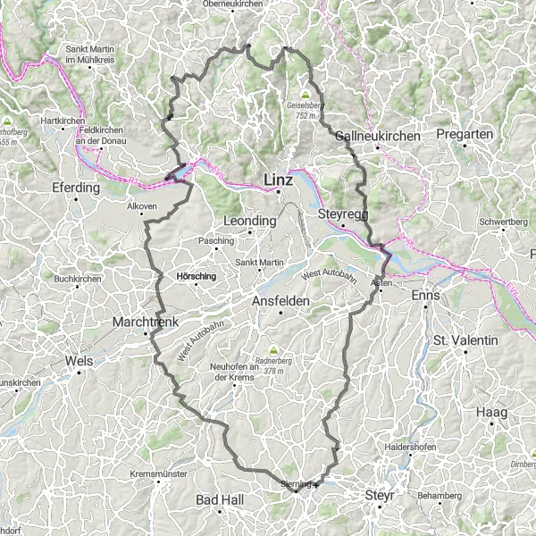
Cyklistické trasy kolem Sierning
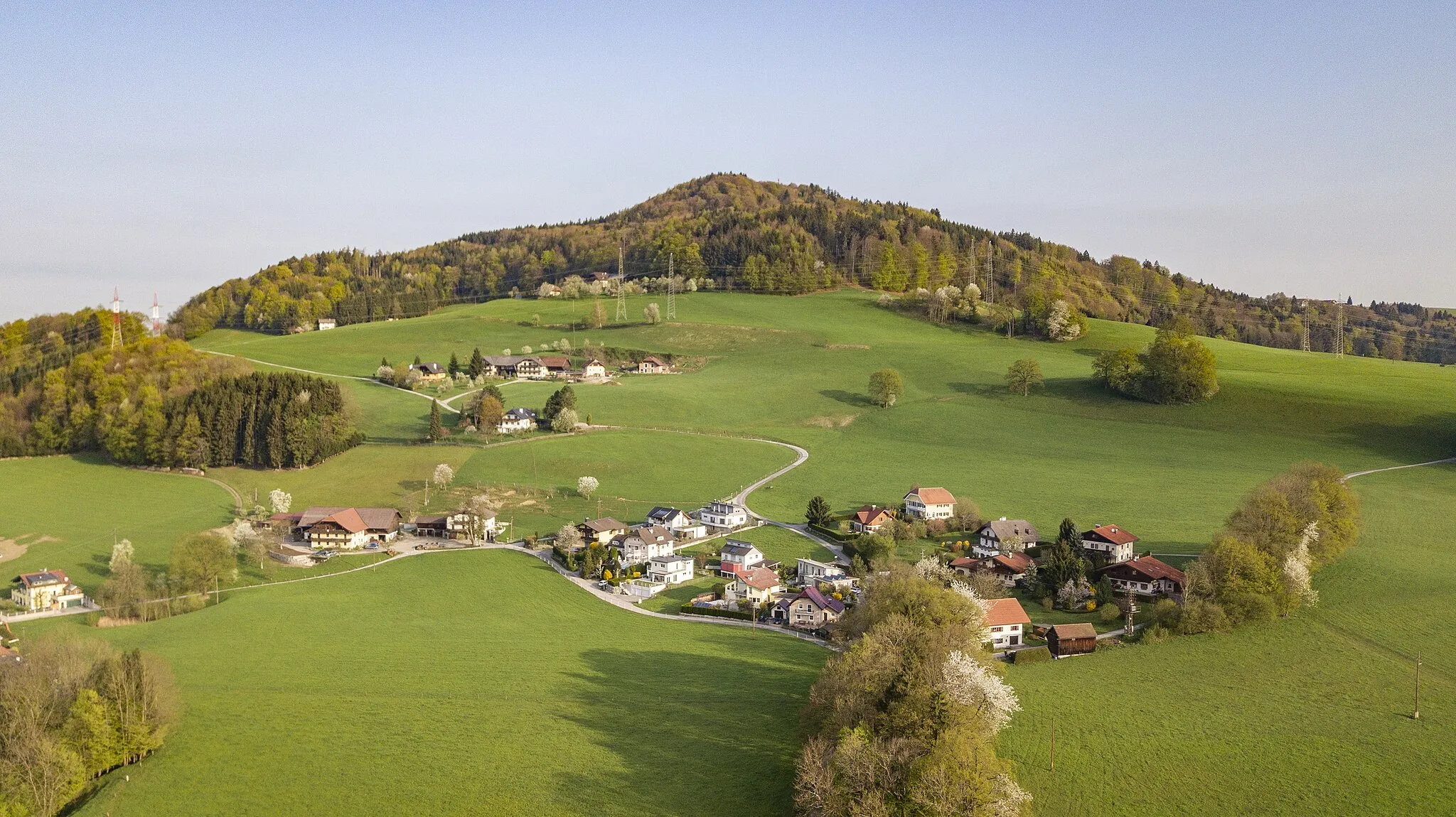
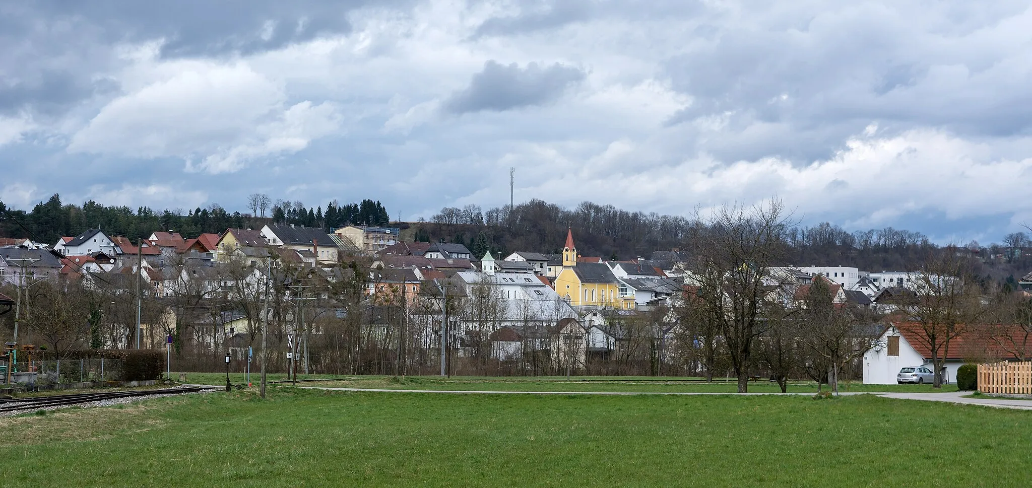
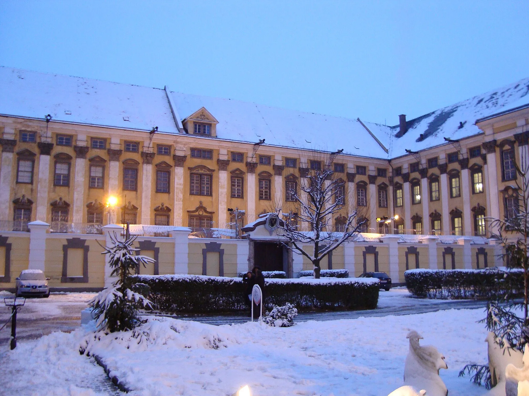
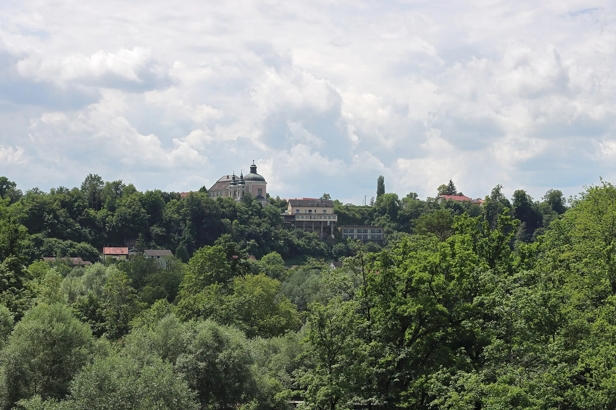
Sierning, malebné městečko v Horním Rakousku, je oblíbeným cílem cyklistů. Zdejší cyklotrasy nabízí pestré možnosti pro silniční cyklisty i milovníky jízdy po štěrkových cestách.
![Miniaturní mapa "Velká okružní cesta kolem Sierning" inspirace pro cyklisty v oblasti Oberösterreich, Austria. Vytvořeno pomocí plánovače tras Tarmacs.app](https://images.tarmacs.app/cycling-routes/routemaps/600/austria/oberosterreich/sierning/road/216607.webp)
Pro odvážné cyklisty - 146 km dlouhá trasa
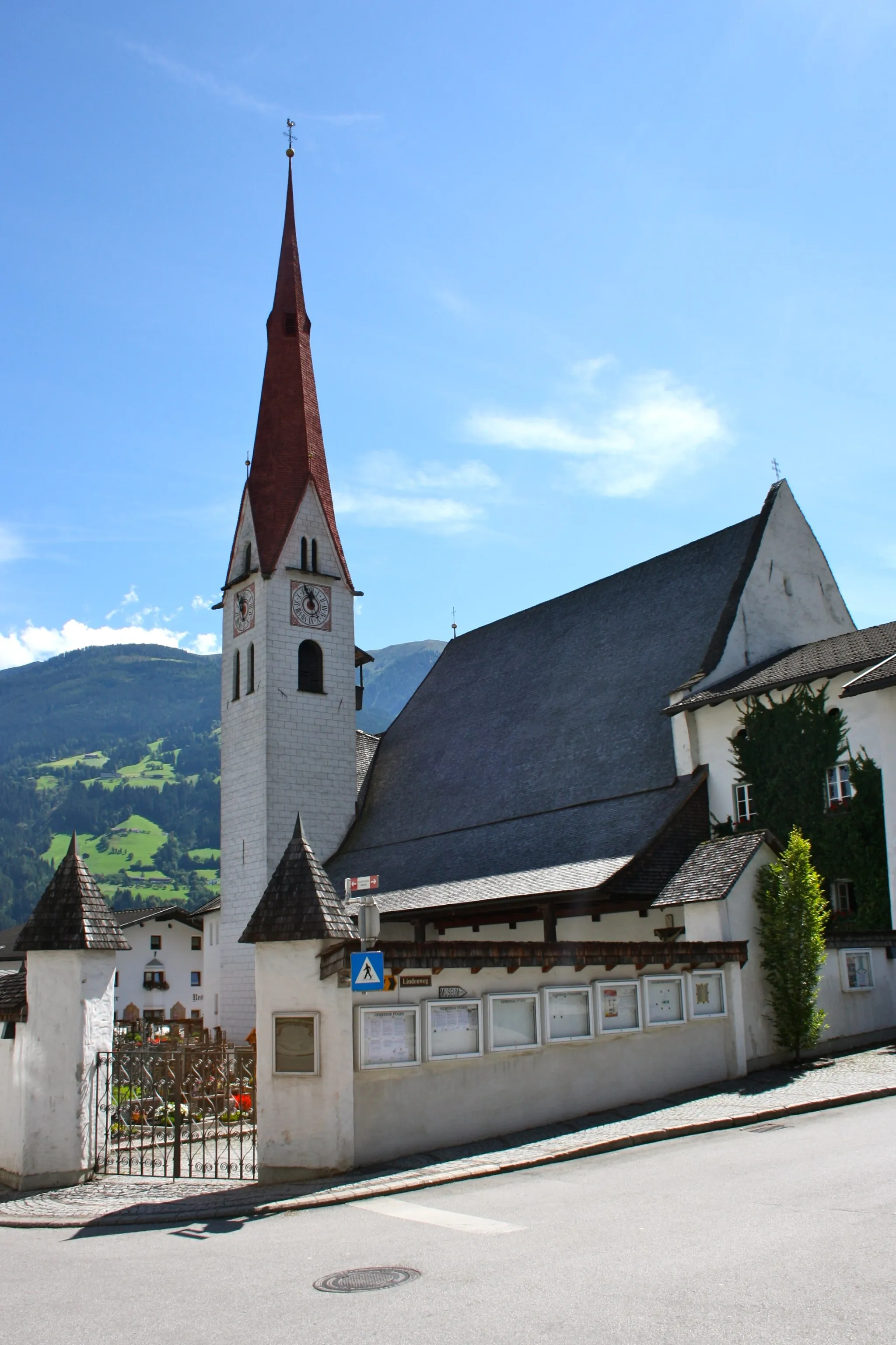
Tato náročná cyklotrasa kolem Sierning nabízí úžasné výhledy a možnost navštívit zajímavá místa jako Oftering, Walding nebo Hagerberg. Trasa je vhodná pro zkušené cyklisty, kteří mají rádi výzvu a krásnou přírodu.
![Miniaturní mapa "Sierning - Hofkirchen im Traunkreis - Asten Ortsmitte - Frankenberger Kircherl - Teufelskanzel - Kuchlmühle - Strengberg - Weistrach - Wachtberg - Christkindl" inspirace pro cyklisty v oblasti Oberösterreich, Austria. Vytvořeno pomocí plánovače tras Tarmacs.app](https://images.tarmacs.app/cycling-routes/routemaps/600/austria/oberosterreich/sierning/road/167892.webp)
Dlouhá a pestrá cyklotrasa naplněná historií a přírodními krásami
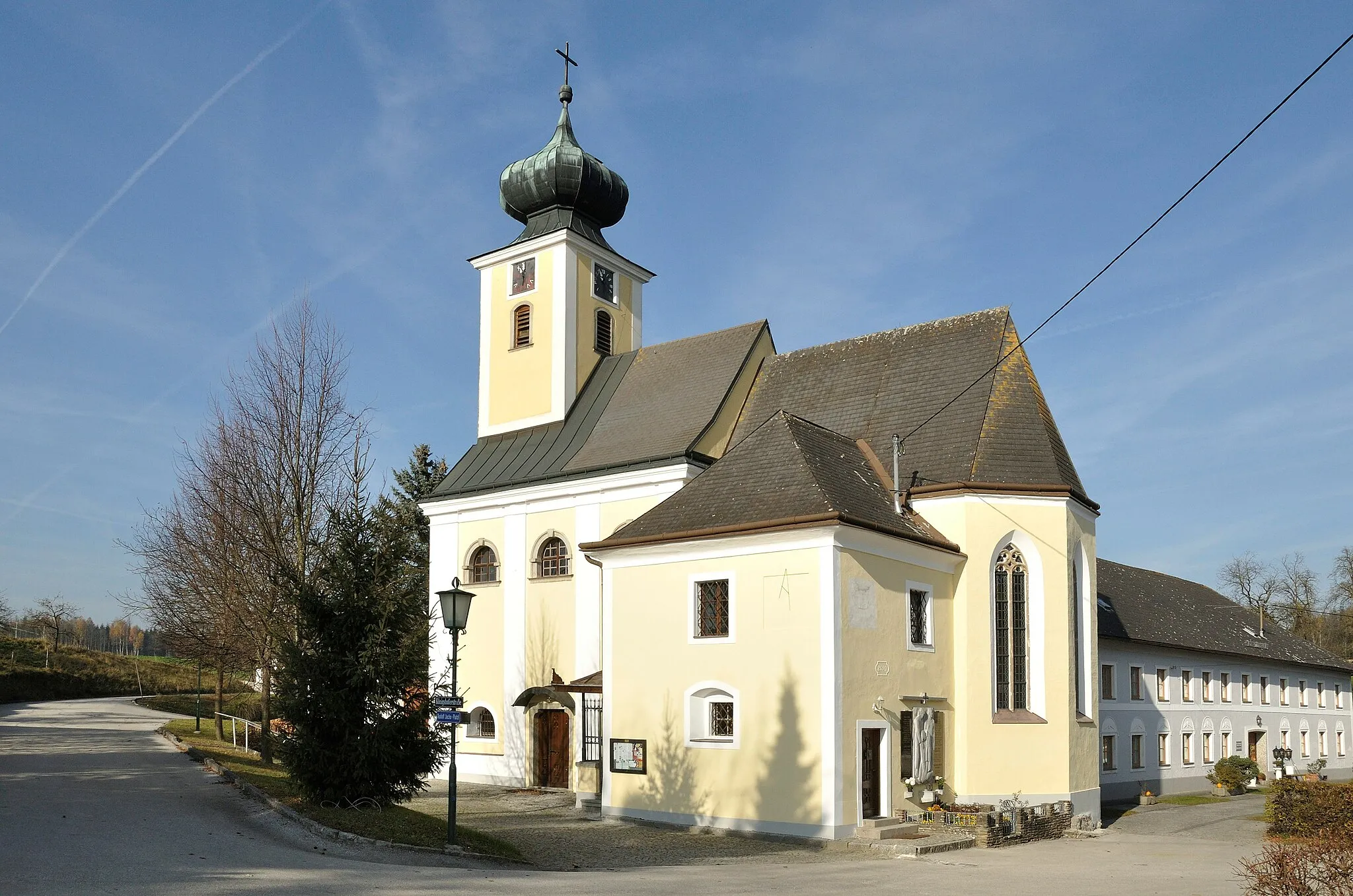
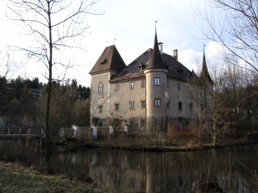
Trasa vede přes malebné obce, historické památky a panenskou přírodu Oberösterreichu. Procházka zahradami hradu Teufelskanzel a návštěva starých křesťanských památek v Christkindlu jsou zážitky, které stojí za to.
![Miniaturní mapa "Sierning - Haidershofen - Weistrach - Burnerhöhe - Rothschildschloss - Geißberg - Dörrkogel - Hollenstein an der Ybbs - Schafkogel - Großraming - Sauzahn - Laussa - Garsten - Letten" inspirace pro cyklisty v oblasti Oberösterreich, Austria. Vytvořeno pomocí plánovače tras Tarmacs.app](https://images.tarmacs.app/cycling-routes/routemaps/600/austria/oberosterreich/sierning/road/167985.webp)
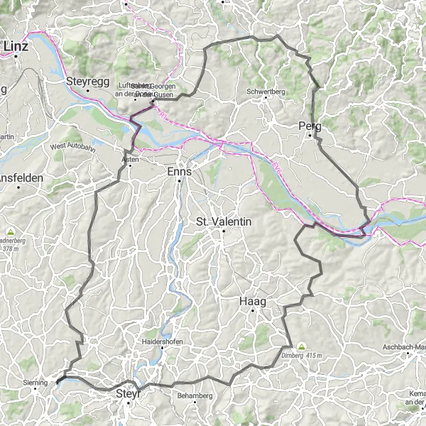
Dlouhá vytrvalostní trasa s náročnými stoupáními a úžasnými výhledy
Tento maraton cyklistický okruh vede přes rozmanité terény a kopce s výhledy na nádhernou krajinu Štýrska. Zahrnuje historická města, malebné vesnice a mnoho kulturních památek. Trasa je náročná a vyžaduje dobrou fyzickou kondici a vytrvalostní schopnosti, ale odmění vás neopakovatelnými zážitky a pohledy na krásu rakouského venkova.
![Miniaturní mapa "Road Route to Steyr and Back" inspirace pro cyklisty v oblasti Oberösterreich, Austria. Vytvořeno pomocí plánovače tras Tarmacs.app](https://images.tarmacs.app/cycling-routes/routemaps/600/austria/oberosterreich/sierning/road/167964.webp)
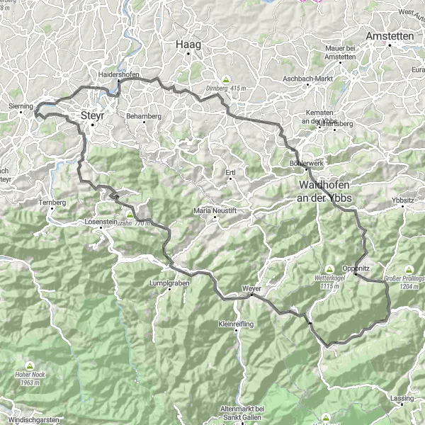
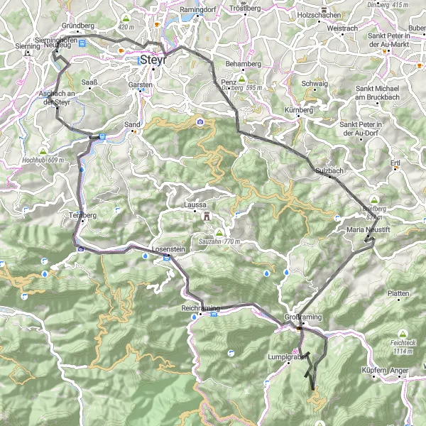
Historical journey through Upper Austria
Embark on a 64km road cycling adventure with 387m of ascent, exploring the charming towns and scenic landscapes of the region. Highlights include the medieval tower of Stadtturm and the historic town of Steyr. Cyclists can enjoy a mix of cultural heritage and natural beauty along this historic route.
![Miniaturní mapa "Gravel Route around Sierning" inspirace pro cyklisty v oblasti Oberösterreich, Austria. Vytvořeno pomocí plánovače tras Tarmacs.app](https://images.tarmacs.app/cycling-routes/routemaps/600/austria/oberosterreich/sierning/gravel/167923.webp)
Varied terrain with scenic highlights
This gravel route offers a challenging 75km ride with 2058m of ascent. Highlights include the picturesque town of Aschach an der Steyr and the stunning Kreuzmauer mountain. The route passes through lush forests and meadows, providing a true off-road adventure for cyclists seeking a mix of nature and culture.
![Miniaturní mapa "Sierning - Tabor - Steyr - Birnerkogel - Ertl - Schwarzberg - Neuzeug" inspirace pro cyklisty v oblasti Oberösterreich, Austria. Vytvořeno pomocí plánovače tras Tarmacs.app](https://images.tarmacs.app/cycling-routes/routemaps/600/austria/oberosterreich/sierning/gravel/167971.webp)
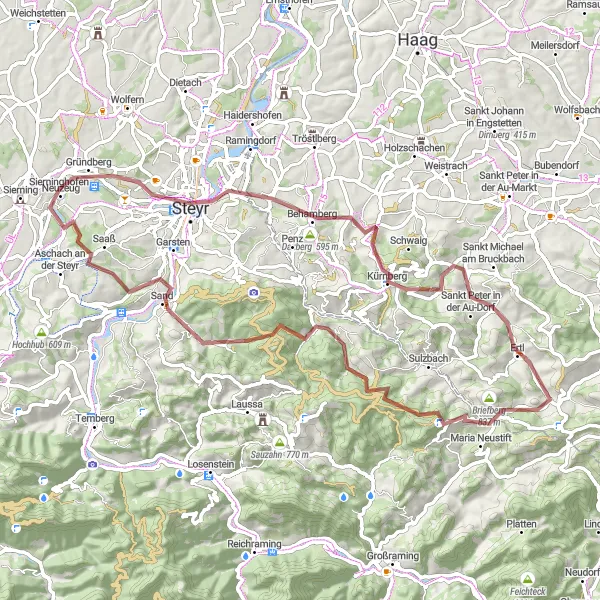
Gravelová trasa plná výzev a nádherných výhledů
Gravelová cesta vede z kopcovité krajiny kolem malých vesnic až do větších měst. Nabízí strmé stoupání a prudké klesání, díky čemuž je skvělou volbou pro zkušené cyklisty hledající adrenalin.
![Miniaturní mapa "Panoramic Road Cycling Tour" inspirace pro cyklisty v oblasti Oberösterreich, Austria. Vytvořeno pomocí plánovače tras Tarmacs.app](https://images.tarmacs.app/cycling-routes/routemaps/600/austria/oberosterreich/sierning/road/167896.webp)
Epic road adventure with stunning vistas
Embark on a 92km road cycling tour with 1866m of ascent, exploring the stunning panoramas and cultural highlights of the region. Highlights include the iconic peaks of Rotstein and Kronstein, offering breathtaking views of the surrounding countryside. Cyclists can enjoy a mix of challenging climbs and rewarding descents on this epic cycling journey.
![Miniaturní mapa "Okružní cyklotrasa kolem Sierning" inspirace pro cyklisty v oblasti Oberösterreich, Austria. Vytvořeno pomocí plánovače tras Tarmacs.app](https://images.tarmacs.app/cycling-routes/routemaps/600/austria/oberosterreich/sierning/road/216617.webp)
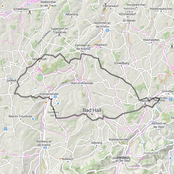
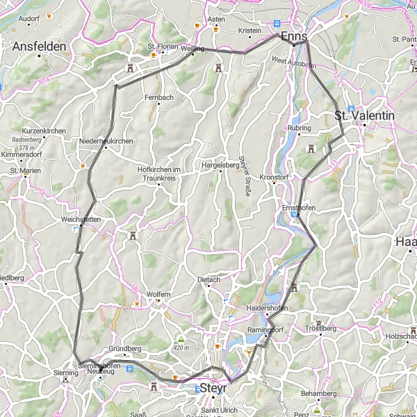
Objevte krásy okolí Sierning na kole
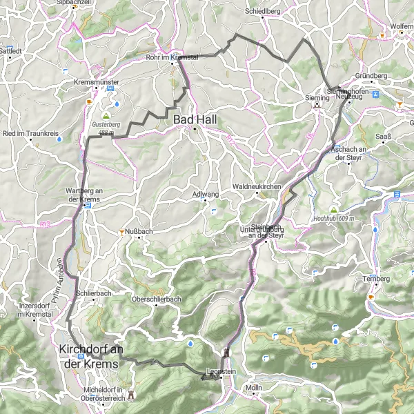
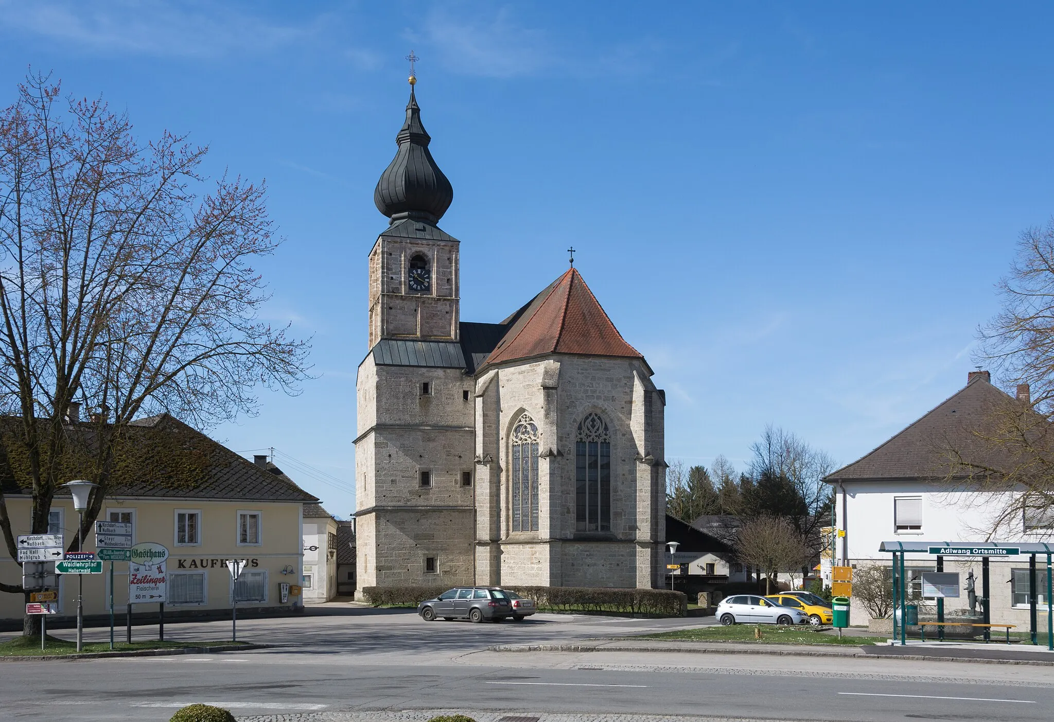
Tato 57 km dlouhá cyklotrasa v okolí Sierning nabízí malebné výhledy a zajímavá místa k návštěvě. Na cestě můžete navštívit Pfarrkirchen bei Bad Hall, Gusterberg, Kremsmünster a další zajímavá místa.
![Miniaturní mapa "Road Route around Sierning" inspirace pro cyklisty v oblasti Oberösterreich, Austria. Vytvořeno pomocí plánovače tras Tarmacs.app](https://images.tarmacs.app/cycling-routes/routemaps/600/austria/oberosterreich/sierning/road/167918.webp)
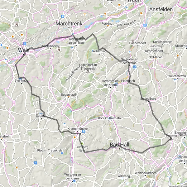
Scenic road cycling adventure
This road route covers 72km with 680m of ascent, showcasing the beauty of the Oberösterreich region. Highlights include the charming town of Bad Hall and the scenic viewpoint at Gusterberg. Cyclists can enjoy smooth roads and picturesque landscapes on this relaxing cycling tour.
![Miniaturní mapa "Cyklostezka přes Steinbach an der Steyr" inspirace pro cyklisty v oblasti Oberösterreich, Austria. Vytvořeno pomocí plánovače tras Tarmacs.app](https://images.tarmacs.app/cycling-routes/routemaps/600/austria/oberosterreich/sierning/road/196039.webp)
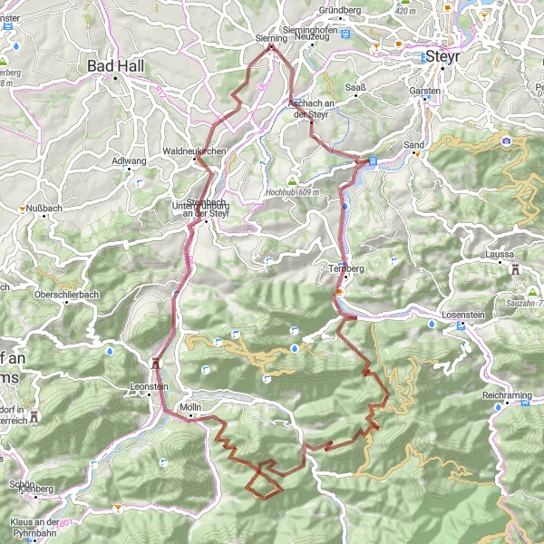
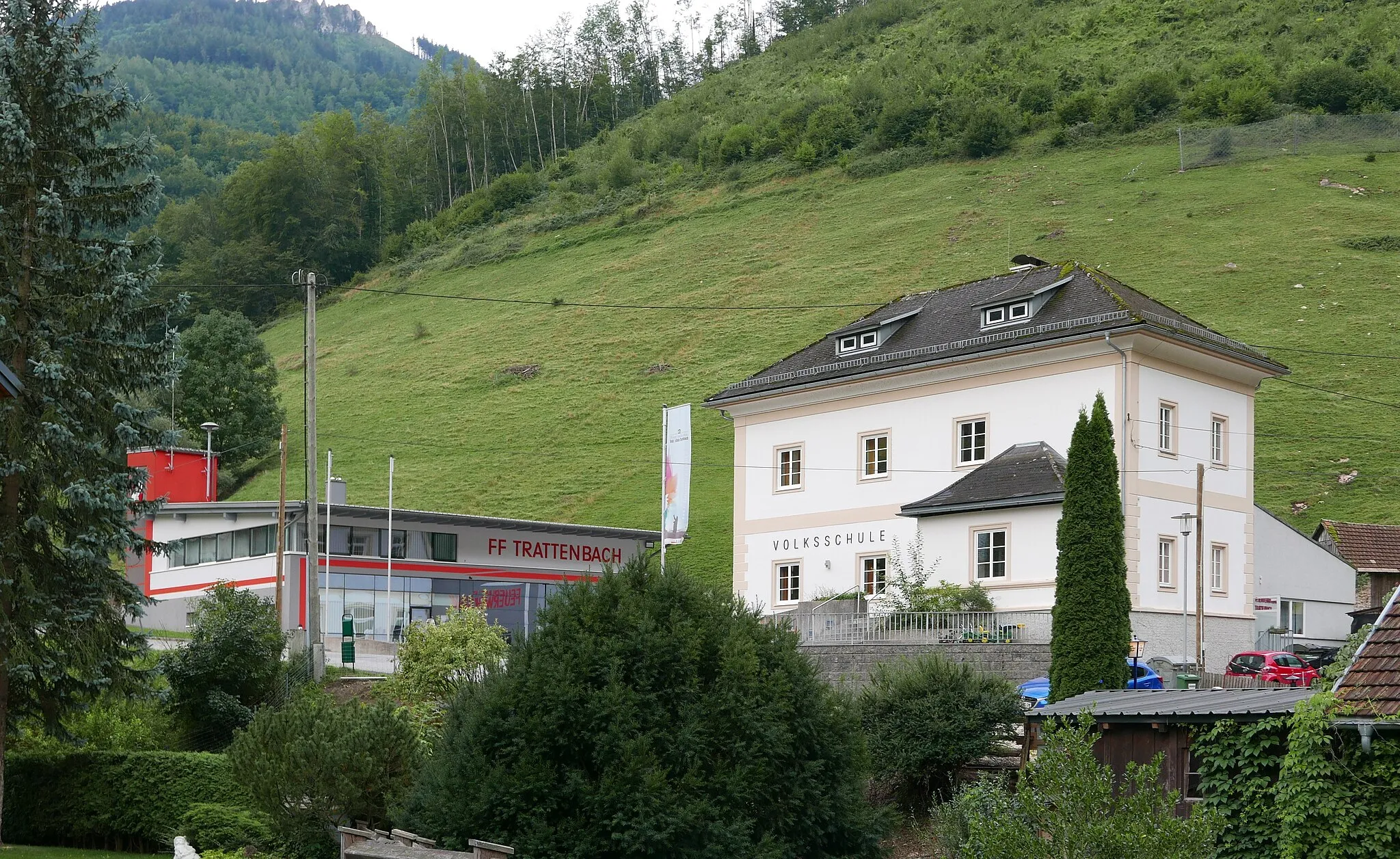
Prozkoumejte krajinu kolem Steinbach an der Steyr
Tato 75 km dlouhá cyklostezka vede přes malebnou krajinu a nabízí možnost navštívit zajímavá místa jako jsou Riedberg, Kirchdorf an der Krems nebo Wartberg an der Kremst.
Cyklotrasy v okolí:
![Obrázek Neuzeug](https://images.tarmacs.app/cycling-routes/covers/austria/oberosterreich/neuzeug-5.webp)
![Obrázek Aschach an der Steyr](https://images.tarmacs.app/cycling-routes/covers/austria/oberosterreich/aschach-an-der-steyr-5.webp)
![Obrázek Wolfern](https://images.tarmacs.app/cycling-routes/covers/austria/oberosterreich/wolfern-5.webp)
![Obrázek Bad Hall](https://images.tarmacs.app/cycling-routes/covers/austria/oberosterreich/bad-hall-1.webp)
![Obrázek Garsten](https://images.tarmacs.app/cycling-routes/covers/austria/oberosterreich/garsten-4.webp)
![Obrázek Steyr](https://images.tarmacs.app/cycling-routes/covers/austria/oberosterreich/steyr-4.webp)
![Obrázek Adlwang](https://images.tarmacs.app/cycling-routes/covers/austria/oberosterreich/adlwang-3.webp)
![Obrázek Kematen an der Krems](https://images.tarmacs.app/cycling-routes/covers/austria/oberosterreich/kematen-an-der-krems-3.webp)
![Obrázek Ternberg](https://images.tarmacs.app/cycling-routes/covers/austria/oberosterreich/ternberg-4.webp)
Okolní oblasti:
![Obrázek Niederösterreich](https://images.tarmacs.app/cycling-routes/covers/austria/niederosterreich/bisamberg-5.webp)
![Obrázek Vídeň](https://images.tarmacs.app/cycling-routes/covers/austria/wien/vienna-1.webp)
![Obrázek Kärnten](https://images.tarmacs.app/cycling-routes/covers/austria/karnten/hoertendorf-1.webp)
![Obrázek Steiermark](https://images.tarmacs.app/cycling-routes/covers/austria/steiermark/geidorf-1.webp)
![Obrázek Salzburg](https://images.tarmacs.app/cycling-routes/covers/austria/salzburg/bergheim-3.webp)
![Obrázek Tirol](https://images.tarmacs.app/cycling-routes/covers/austria/tirol/fuegen-3.webp)
![Obrázek Středočeský kraj](https://images.tarmacs.app/cycling-routes/covers/czech-republic/stredni-cechy/luzna-4.webp)
![Obrázek Jihozápad](https://images.tarmacs.app/cycling-routes/covers/czech-republic/jihozapad/horazgovice-2.webp)
![Obrázek Jihovýchod](https://images.tarmacs.app/cycling-routes/covers/czech-republic/jihovychod/brezi-5.webp)
![Obrázek Oberbayern](https://images.tarmacs.app/cycling-routes/covers/germany/oberbayern/ismaning-3.webp)
![Obrázek Niederbayern](https://images.tarmacs.app/cycling-routes/covers/germany/niederbayern/hofkirchen-2.webp)