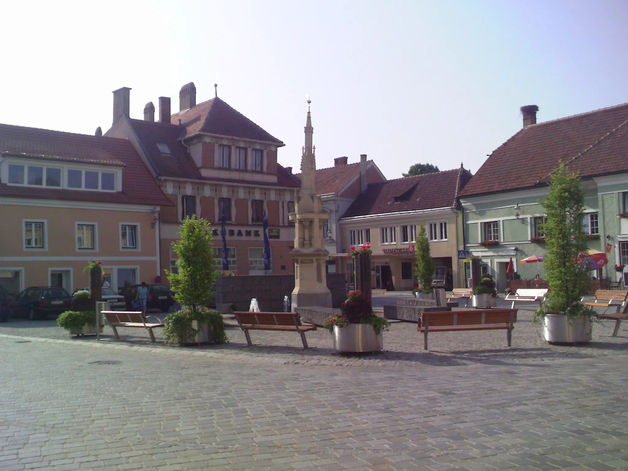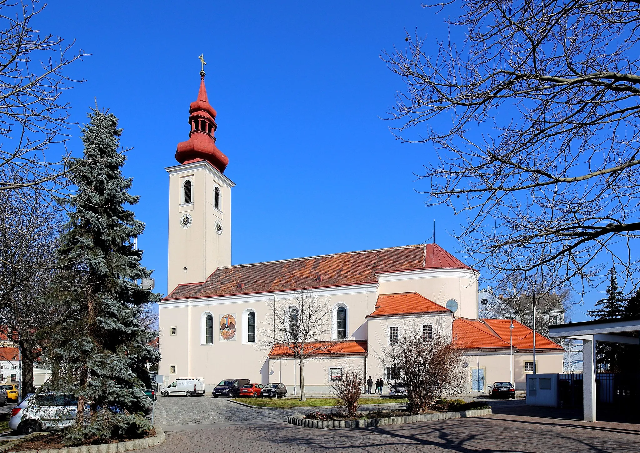
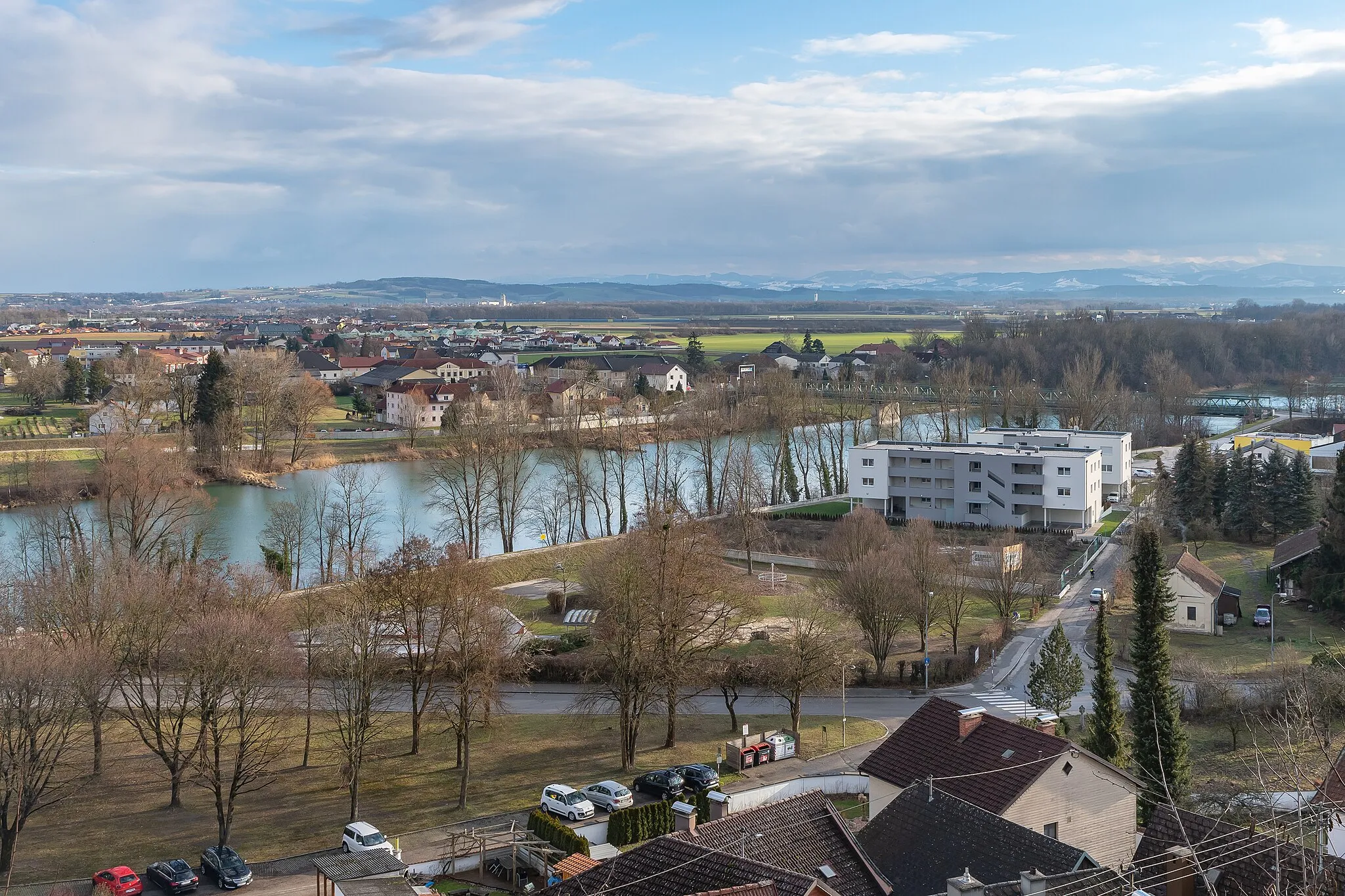
Malebné městečko s cyklistickými trasami
Cyklistické trasy kolem Tragwein
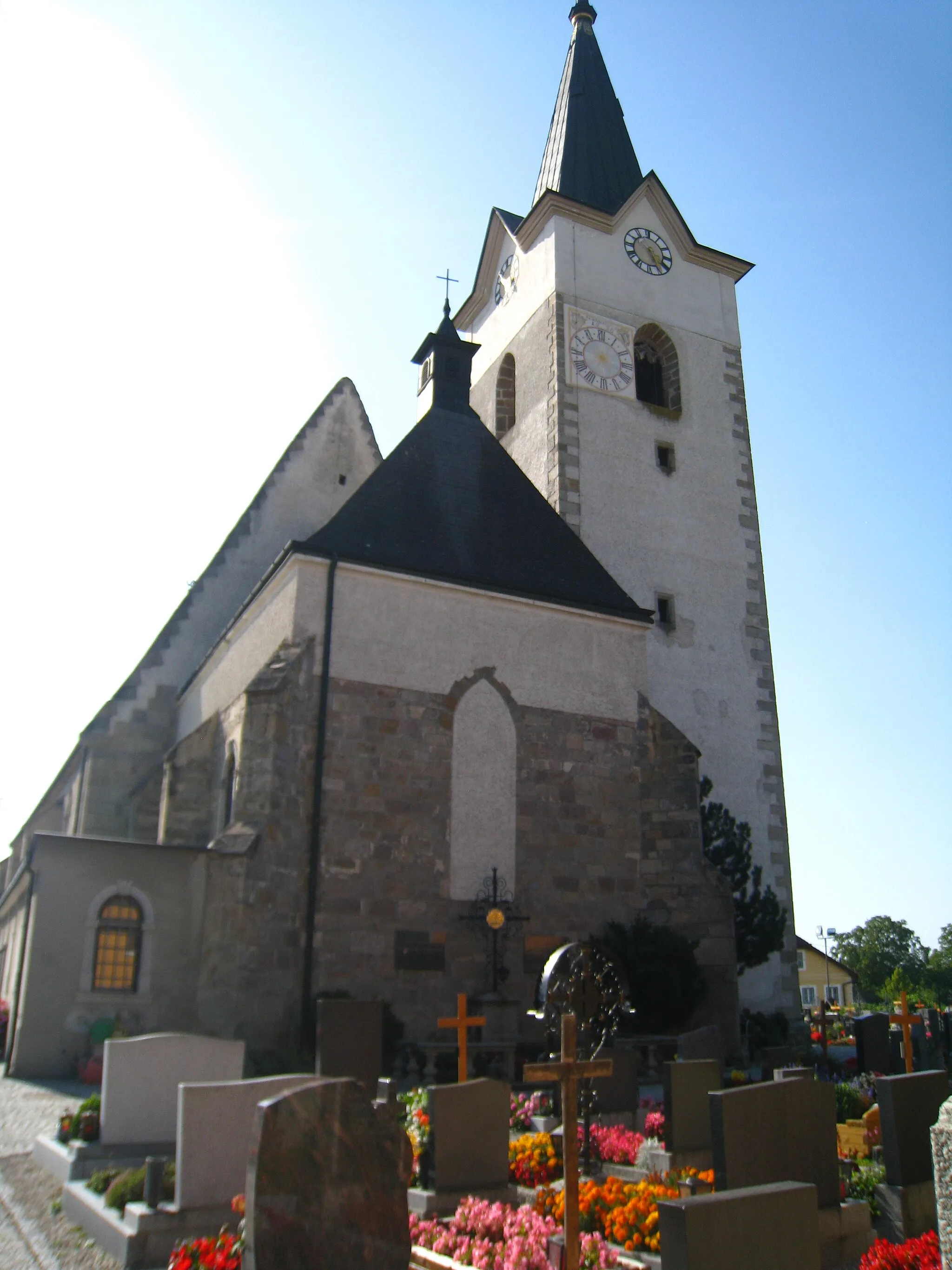
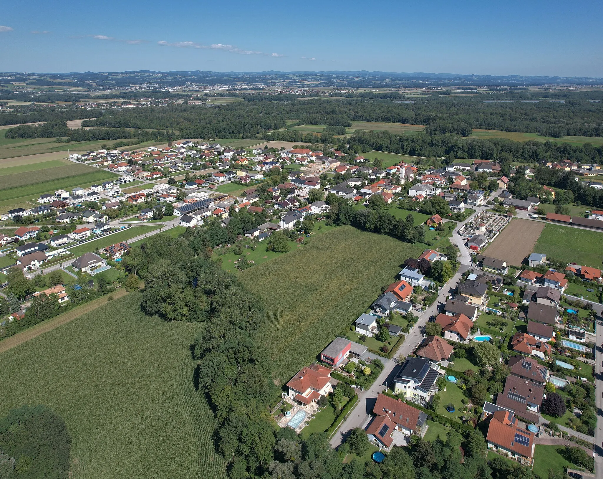
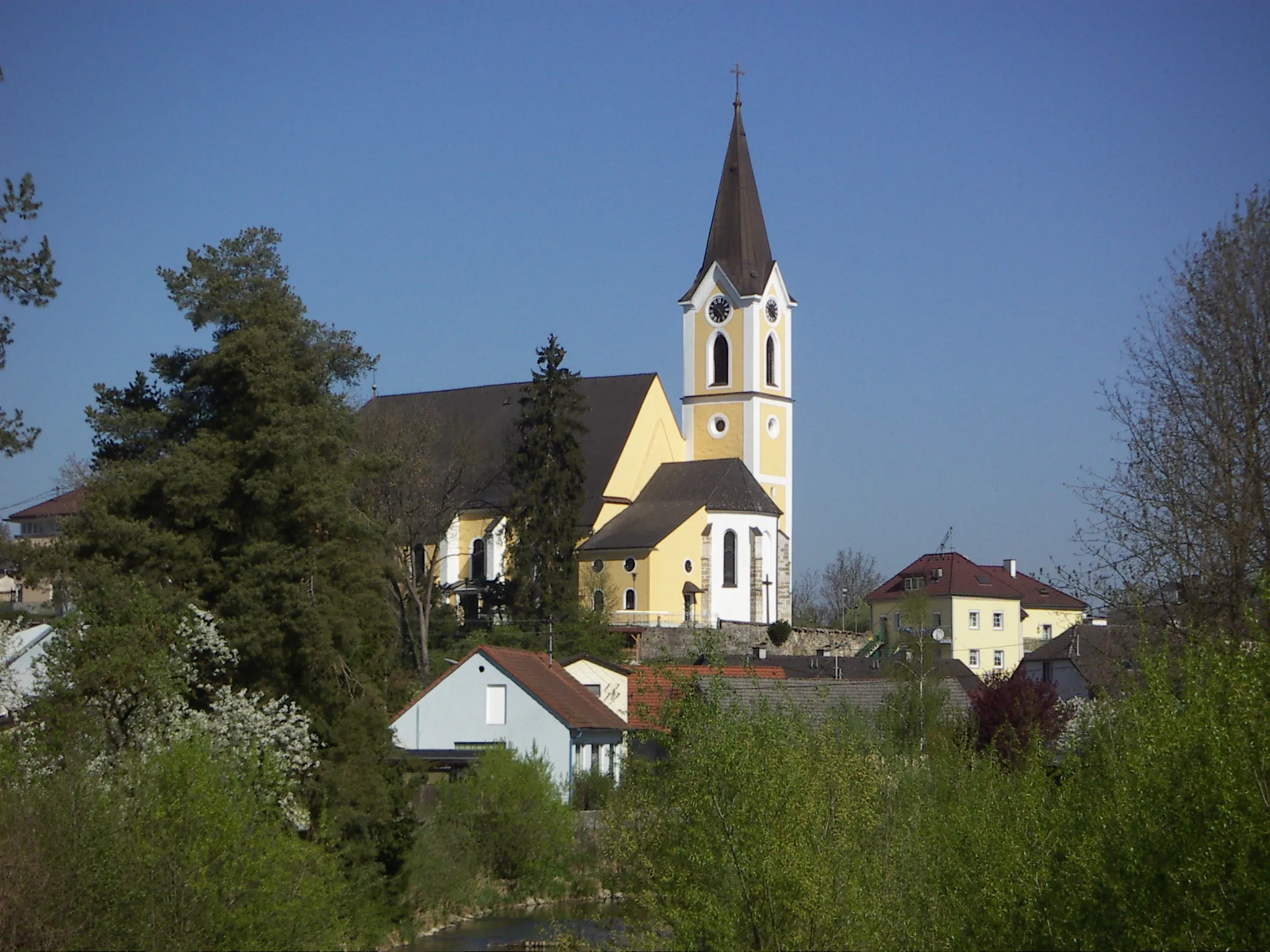
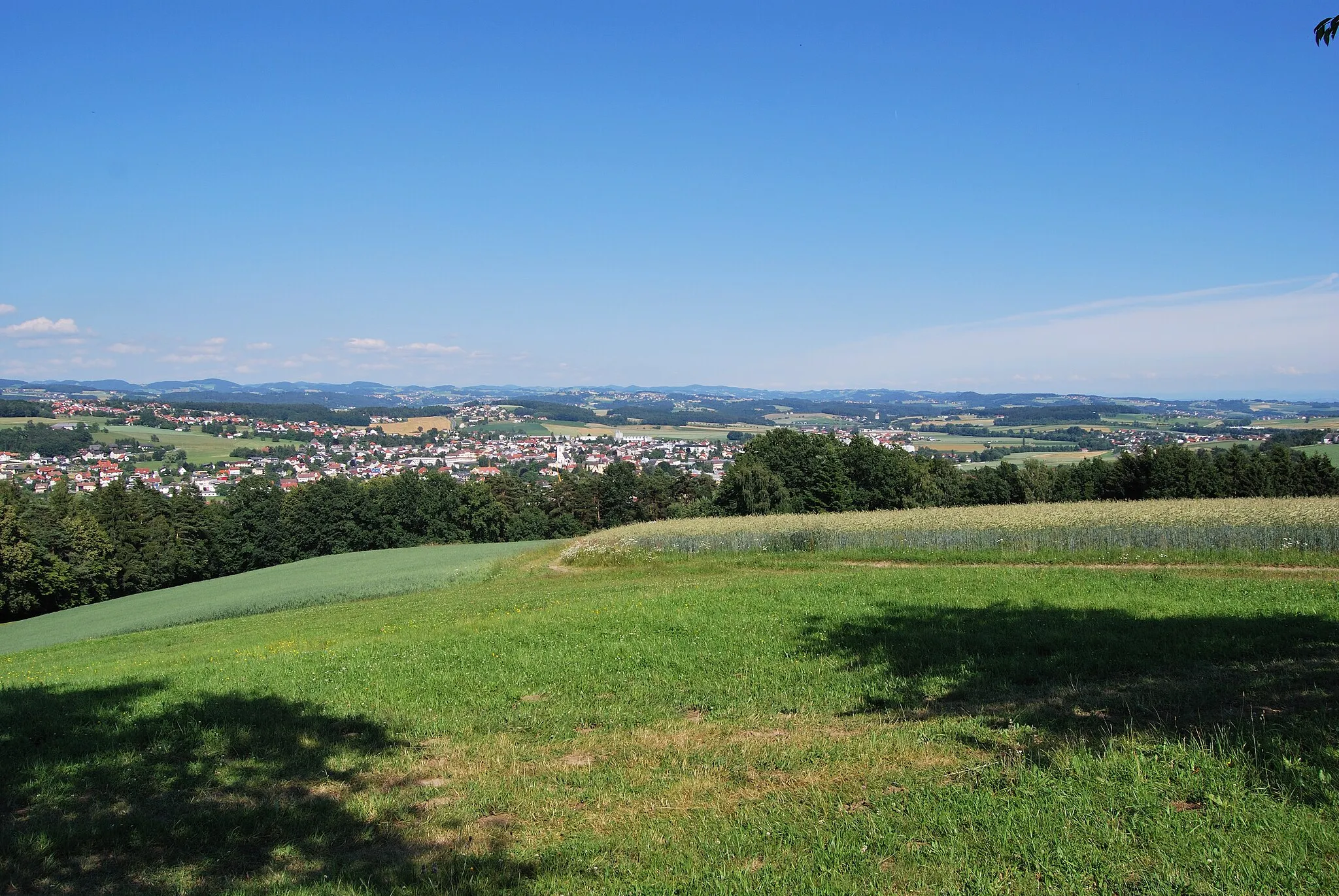
Tragwein je malebné městečko v rakouské oblasti Horní Rakousy. Z pohledu silničního cyklisty nabízí krásné venkovské cesty a okolní kopce vhodné pro trénink. Turisté ocení malebnou architekturu a příjemné kavárny.
Zajímavá cesta s mnoha historickými památkami
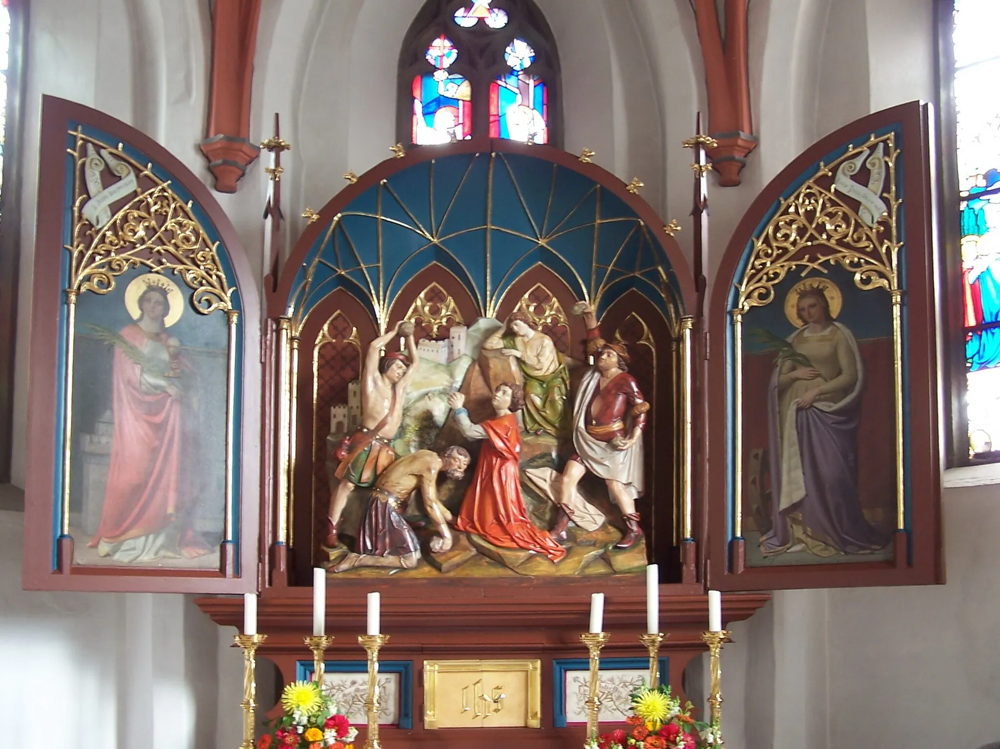
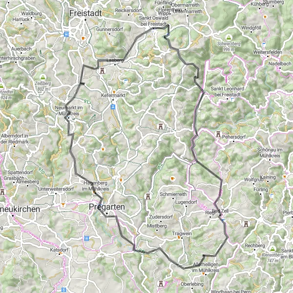
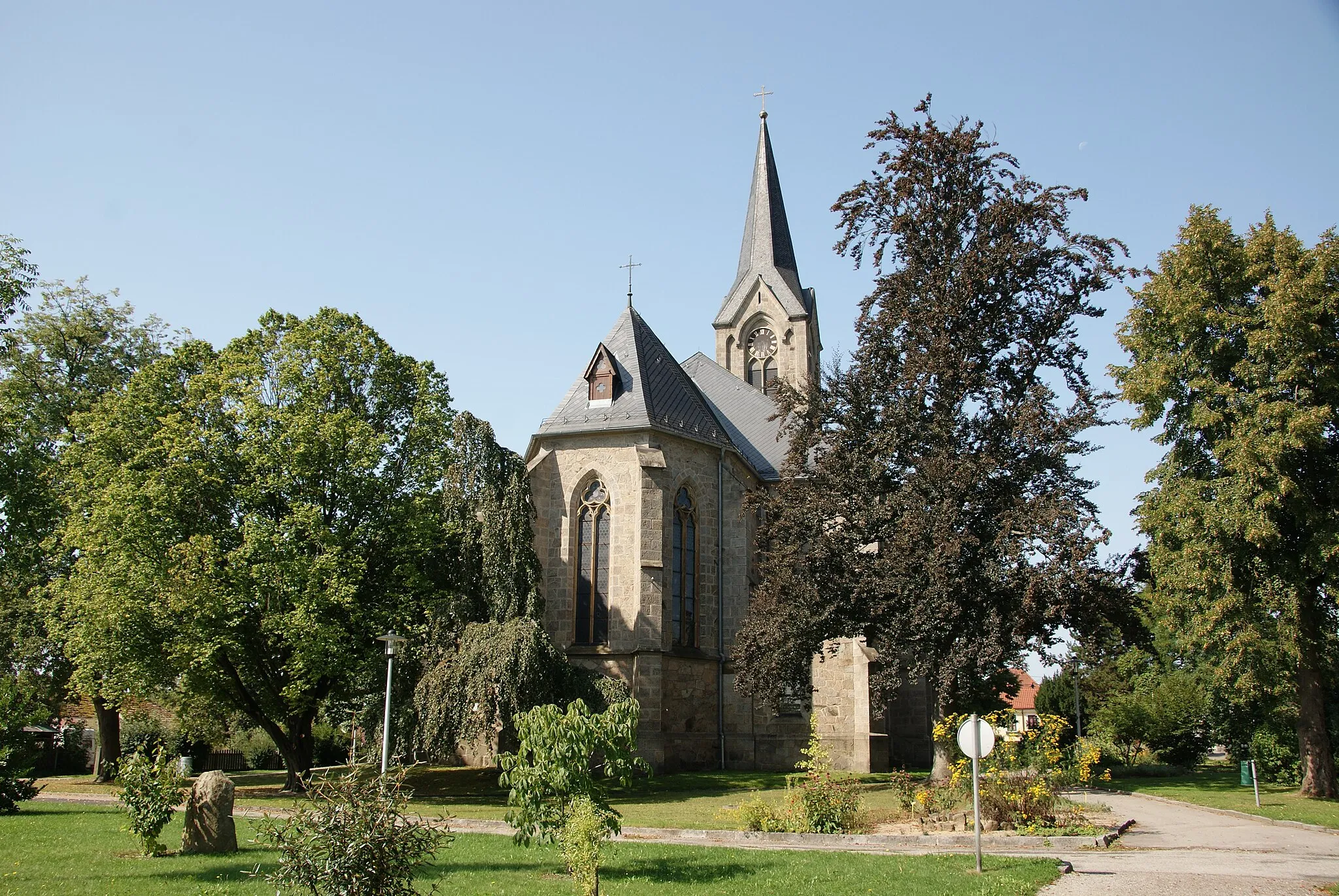
Tato okruhová cesta nabízí 72 km cestování blízko Tragweinu, s celkovým převýšením 1303 m. Potkáte zde Schneckenturm, Allerheiligen im Mühlkreis a další zajímavá místa. Skvělá volba pro milovníky historie a cyklistiky.
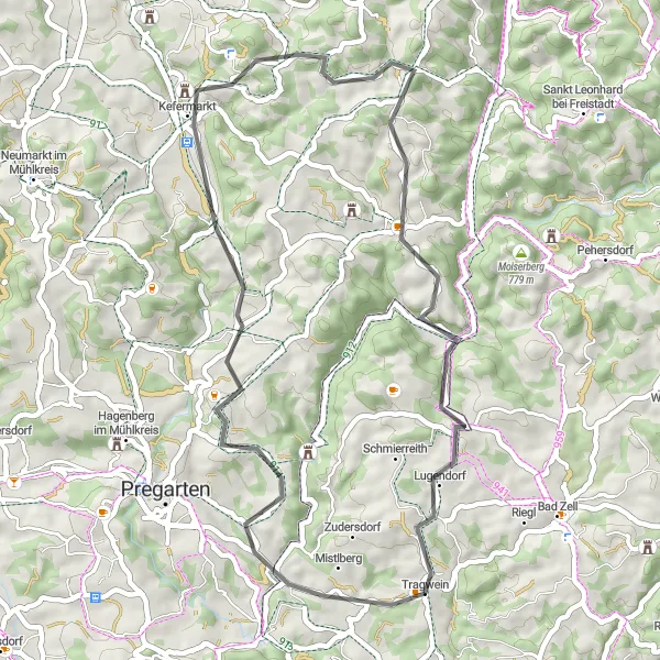
Pohodlná seskupení po krajině s 912 m převýšením
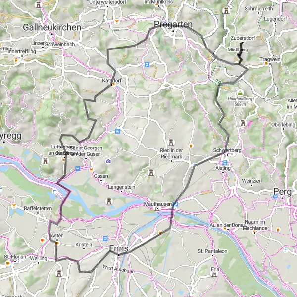
Tato krátká cyklotrasa v délce 66 km je ideální pro odpočinkový výlet po okolí Tragwein. Objevte malebná městečka a památky, jako je Schwertberg, Enns a Pregarten, která nabízí bohatou historii a kulturu.
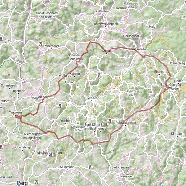
Adrenalinová trasa pro milovníky terénní cyklistiky
Tento gravelový výlet nabízí 65 km jízdy s převýšením 1740 m. Navštívíte zajímavá místa jako Bad Zell, Ellerberg a další. Skvělá volba pro dobrodružné cyklisty toužící po nových výzvách.
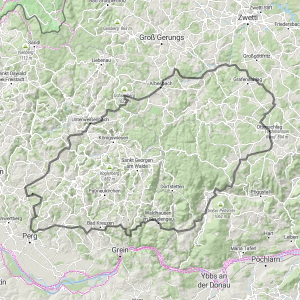
Překonávejte náročné výškové rozdíly a objevujte nové výhledy
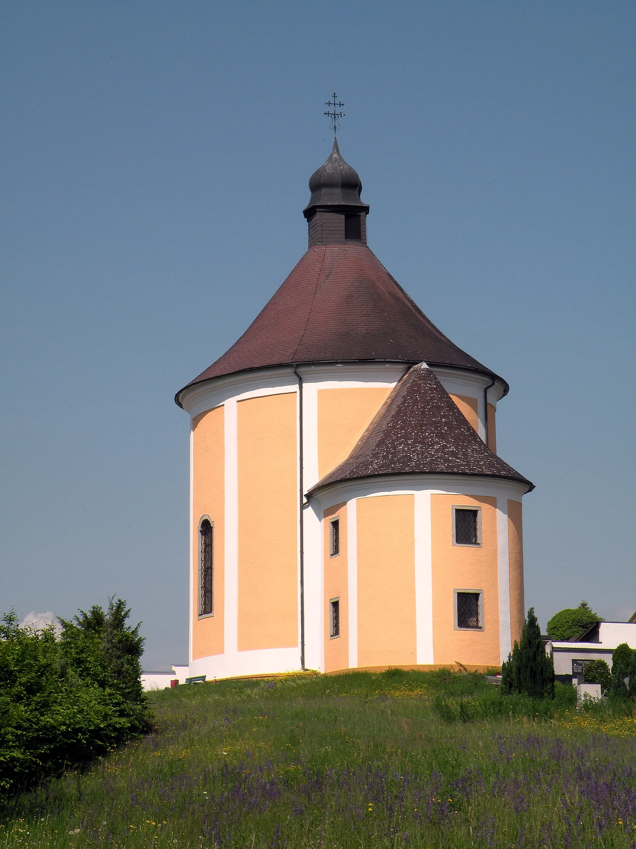
161 km silniční cyklistické cesty s převýšením 3186 m vás provedou nádhernou krajinou s pohledy na historické památky jako např. Grein nebo Waldhausen im Strudengau.
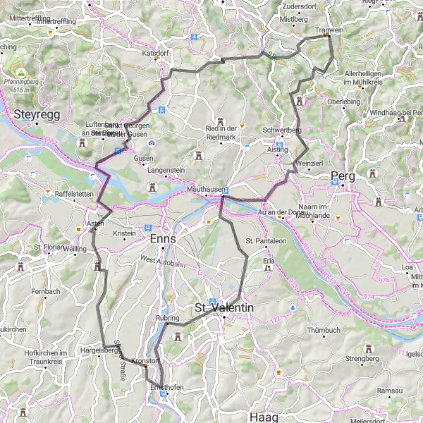
Tragwein - Asten Circuit
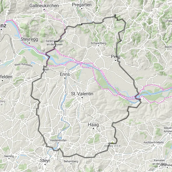
Challenging road bike route with picturesque views and historical highlights.
This 118 km route offers a demanding ascent of 1514 m, passing through the charming towns of Perg, Weistrach, and Dietach. Highlights include the Schneckenturm tower, the scenic Hummelberg area, and the historic Allerheiligen im Mühlkreis. The ride culminates in an exhilarating descent past the Teufelskanzel viewpoint.
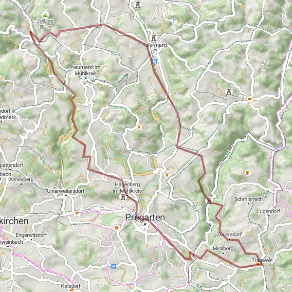
Exciting gravel route through diverse landscapes and historical sites.
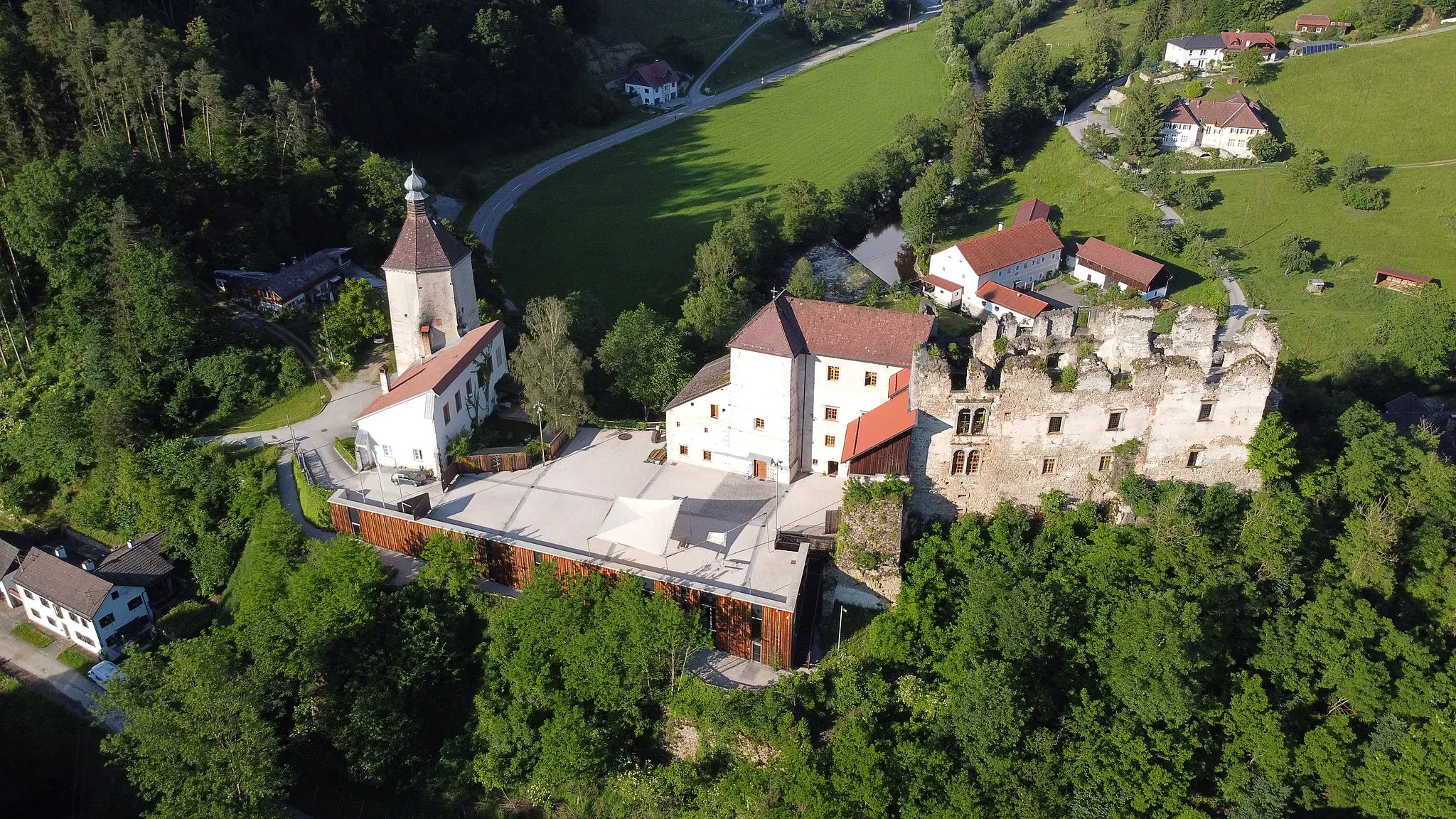
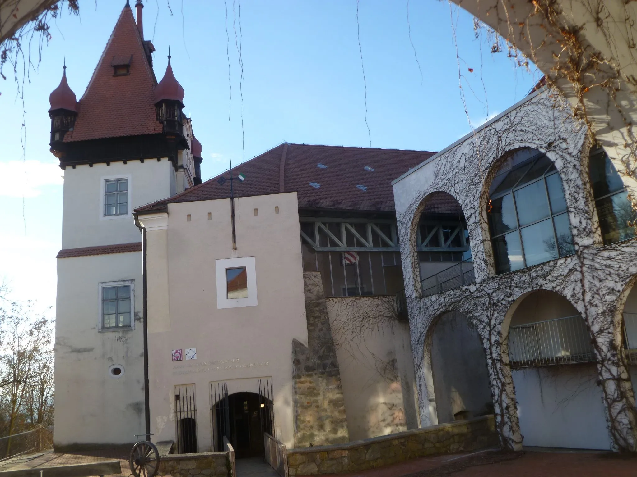
This 53 km gravel loop features an ascent of 1074 m, passing through the charming towns of Pregarten, Oberzeiß, and Kogl. Highlights include the historic Burgruine Reichenstein, offering a glimpse into the region's medieval past, and the tranquil village of Tragwein, where riders can enjoy a peaceful break before continuing their journey.
Klidná cesta s výhledy na okolní přírodu
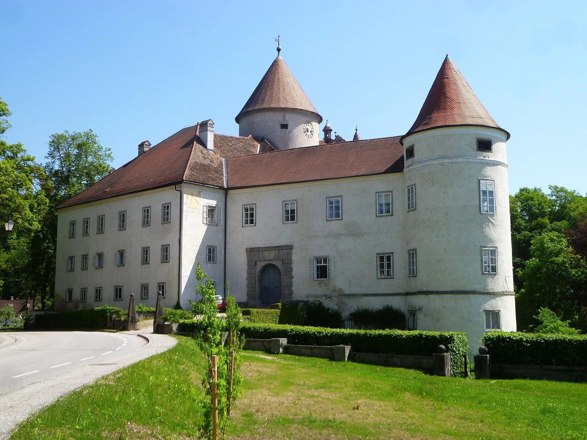
Tato 45km trasa nabízí snadnou cyklovýpravu s celkovým převýšením 923 m. Projedete kolem Greisingbergu, Schloss Weinberg a dalších zajímavých míst. Ideální volba pro rodinný výlet nebo odpočinkovou cyklojízdu v přírodě.
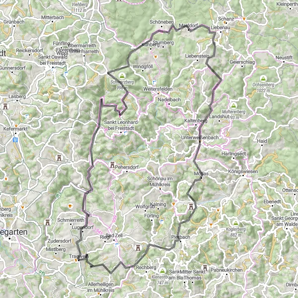
Náročná trasa s úžasnými výhledy
Tento pokročilý okruh nabízí 86 km cyklování kolem Tragweinu, s celkovým převýšením 1839 m. Po cestě navštívíte mnoho zajímavých míst, jako Feiblmühl, Herzogreither Berg a mnoho dalších. Vhodné pro zkušené cyklisty hledající výzvu a krásnou krajinu.
Gravel Okruh od Tragwein
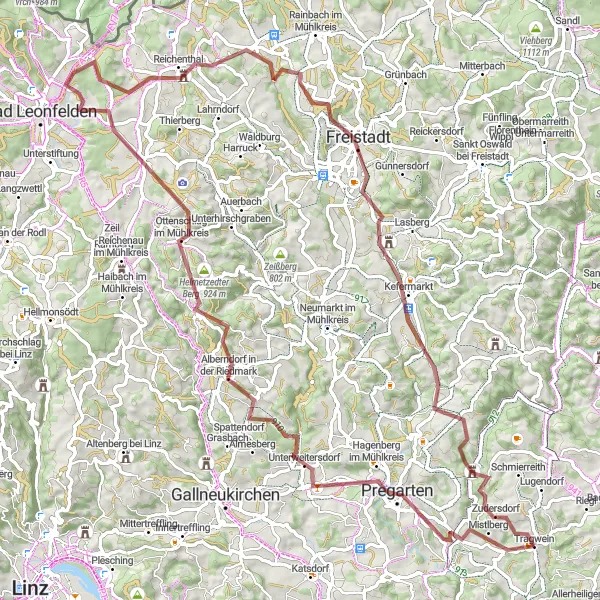
Zajímavý gravel okruh s převýšením 1842 m
Tento okruh v délce 93 km je vhodný pro zkušené cyklisty, kteří hledají výzvu v podobě náročného terénu. Nezapomeňte navštívit Freistadt a Burgruine Reichenstein pro poznání historických památek a úchvatné výhledy.
Explore the picturesque countryside near Tragwein on this challenging road cycling route.
This 78 km route features a total ascent of 691 m, taking you through charming villages and lush green landscapes. Enjoy the peaceful surroundings and immerse yourself in the local culture as you pedal your way through Aisthofen, Ernsthofen, and Ruhstetten. Make a stop at the historic Schloss Tyllisburg and marvel at the natural beauty of Teufelskanzel viewpoint.
Cyklotrasy v okolí:
Okolní oblasti: