![Cover image](https://images.tarmacs.app/cycling-routes/covers/austria/steiermark/groebming-5.webp)
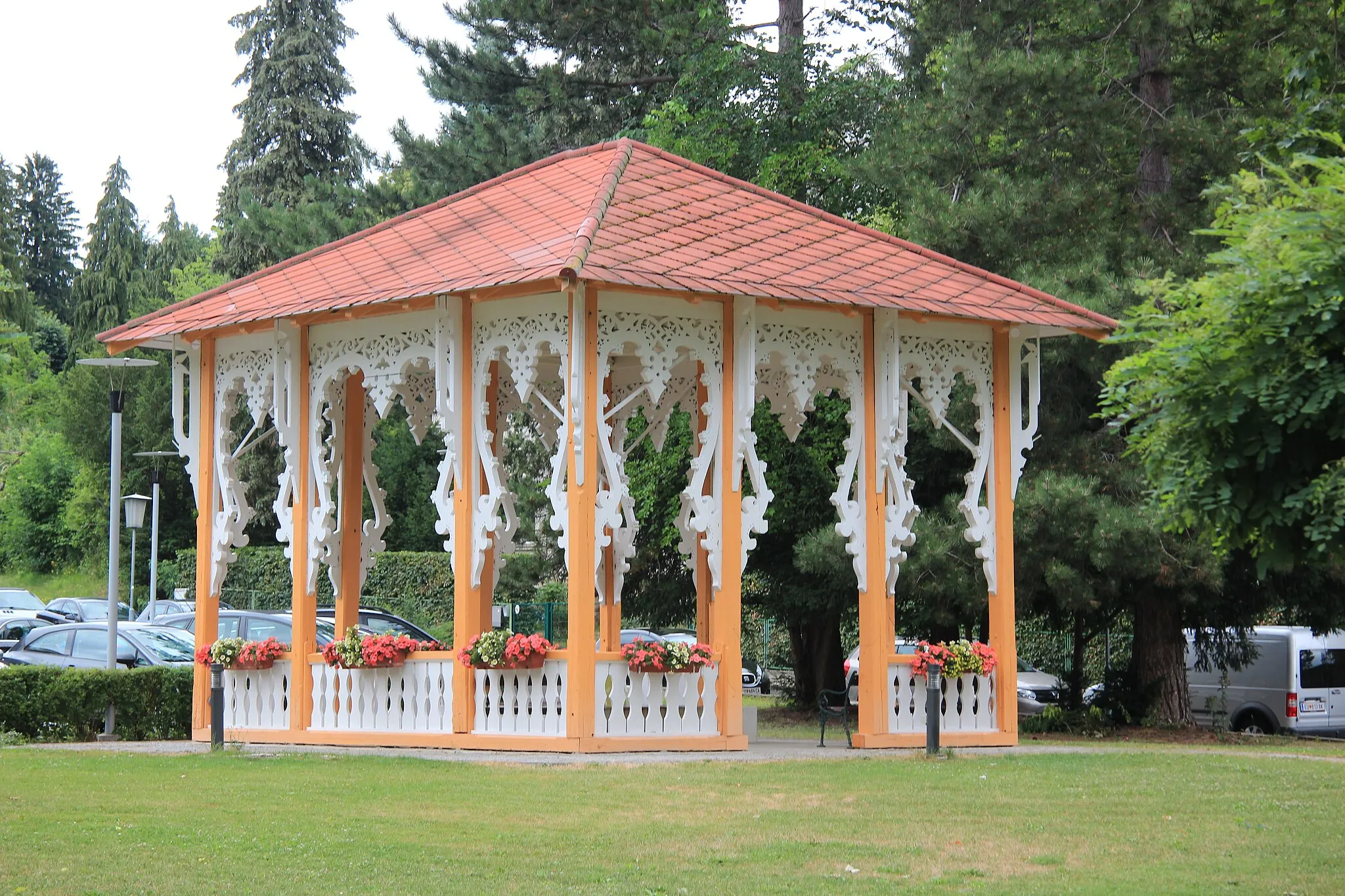
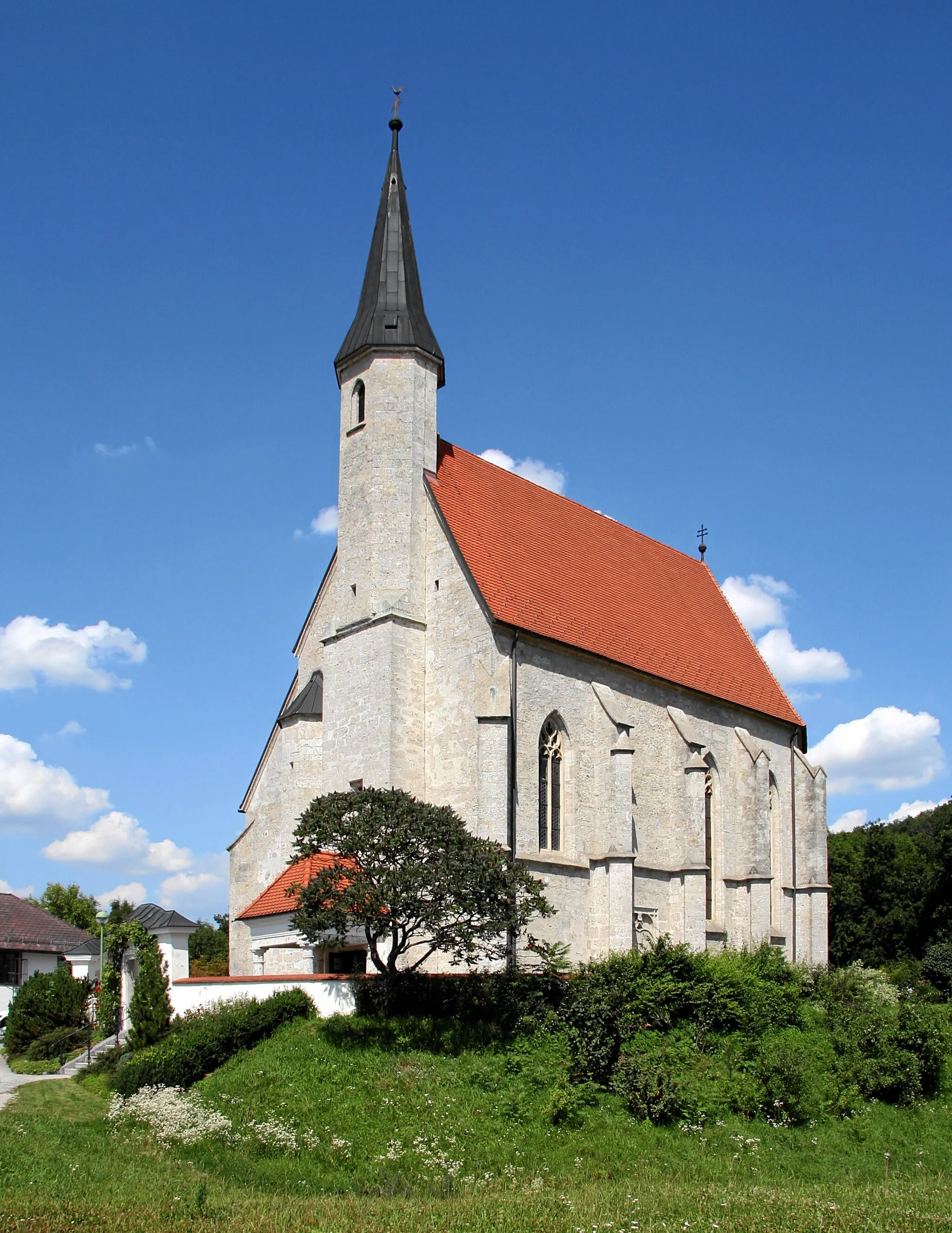
Nádech dobrodružství ve středním Rakousku
Cyklistické trasy kolem Groebming
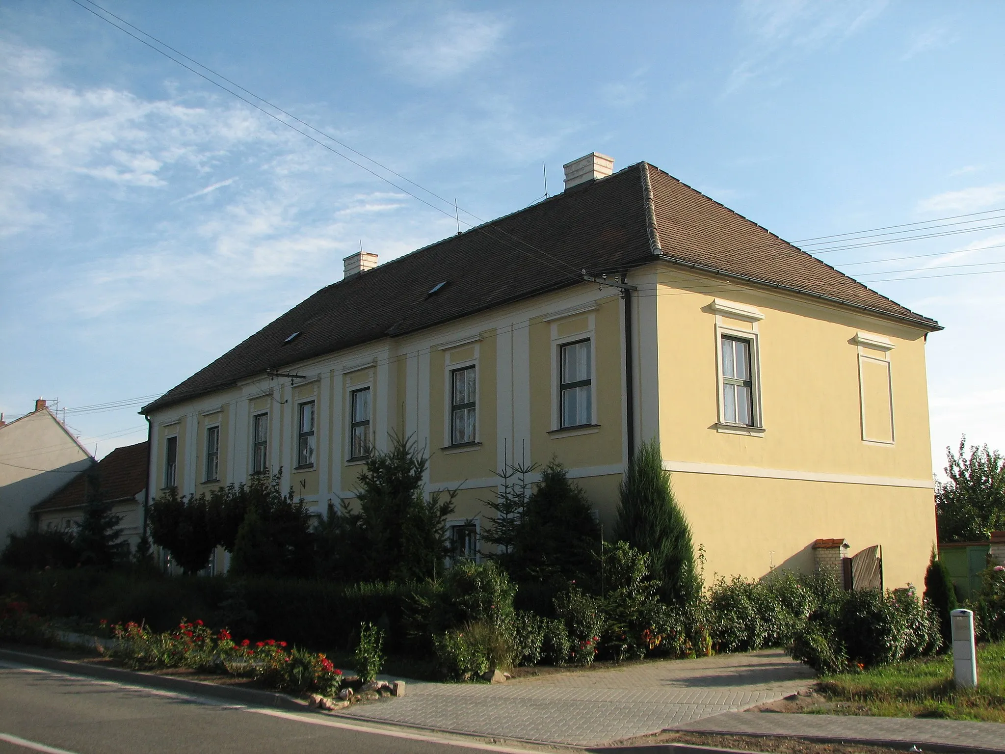
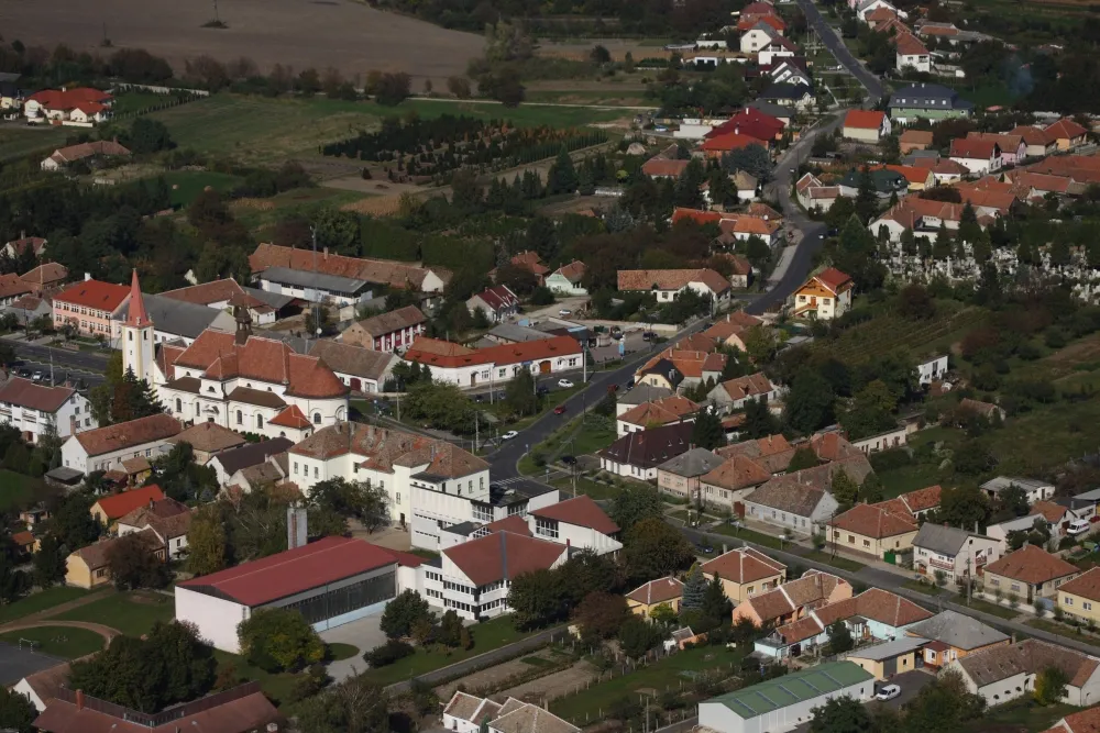
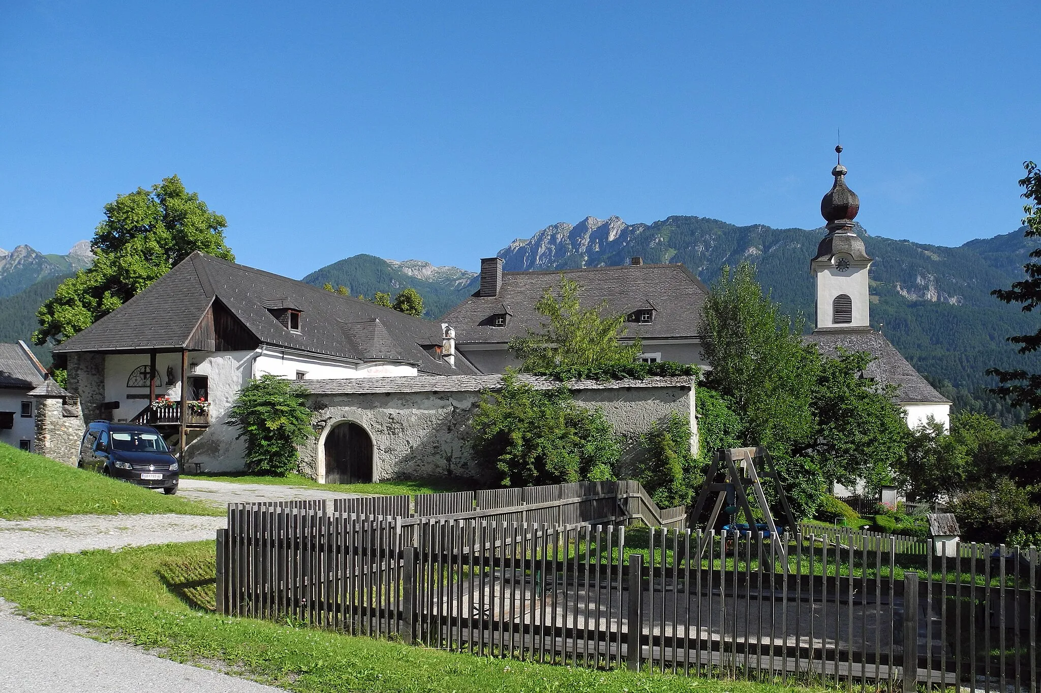
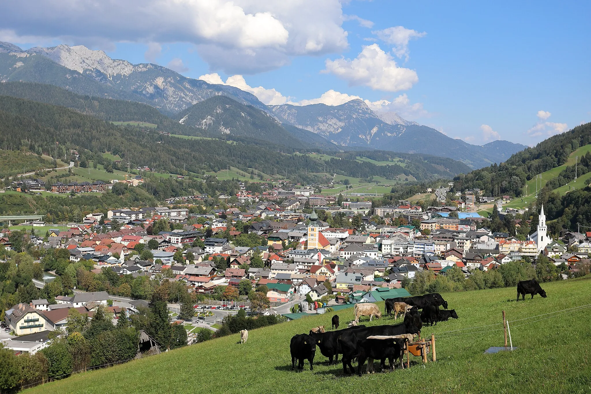
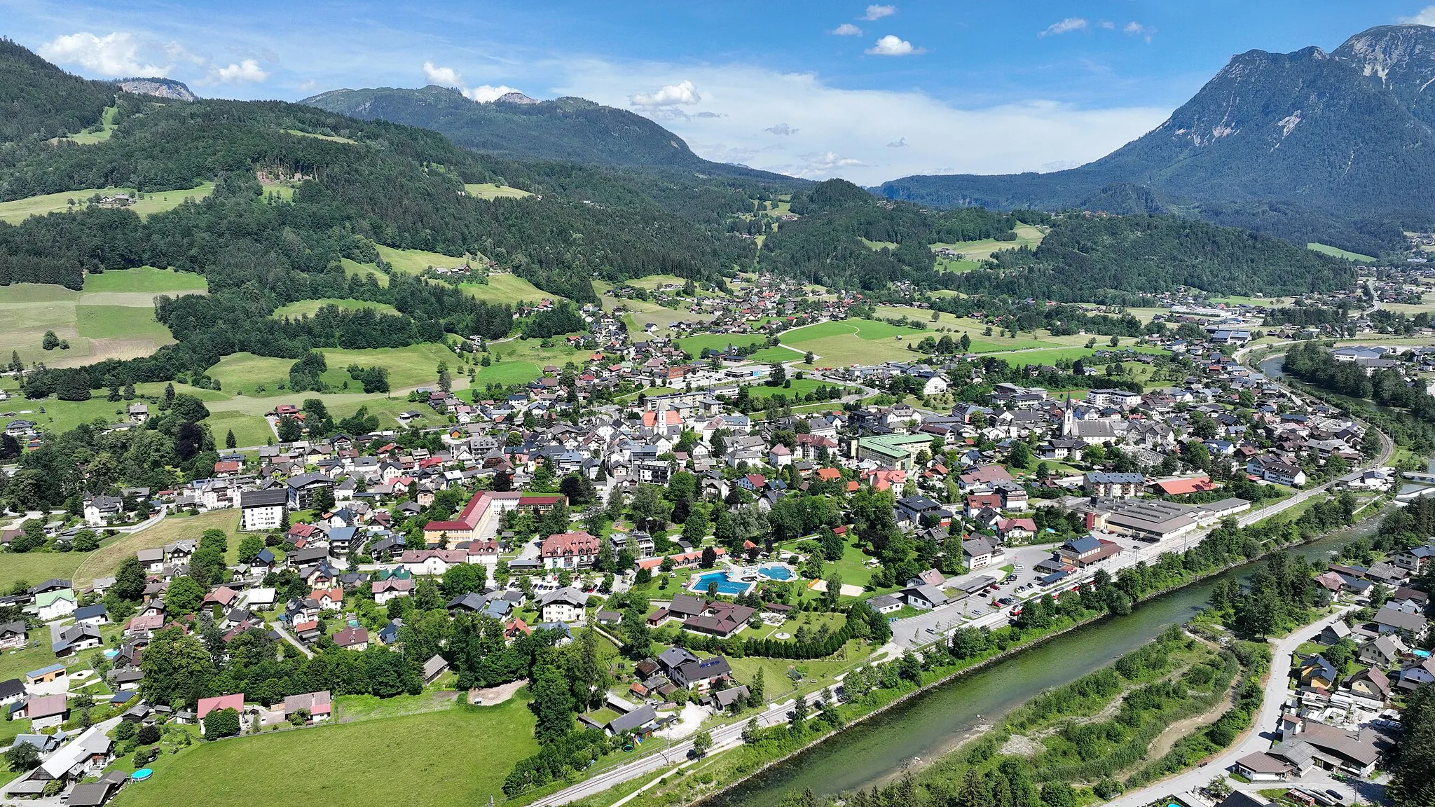
Gröbming leží v regionu Steiermark v Rakousku. Cyklisté zde mohou objevovat malebné cesty po horách a údolích. V okolí najdete několik náročných stoupání a dobře značených cyklotras.
![Miniaturní mapa "Kulmleiten - Sölkpass - Obertauern" inspirace pro cyklisty v oblasti Steiermark, Austria. Vytvořeno pomocí plánovače tras Tarmacs.app](https://images.tarmacs.app/cycling-routes/routemaps/600/austria/steiermark/groebming/road/188936.webp)
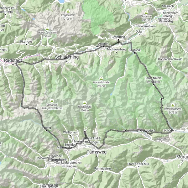
Náročná silniční trasa s 3767 m převýšením a 169 km
Tato trasa zahrnuje náročné stoupání na Großsölk a projížďku kolem Sankt Nikolai im Sölktal. Navštívíte také Sölkpass s krásnými výhledy a Schöder s malebnou atmosférou. Cesta končí v oblasti Obertauern, která je známá svými lyžařskými možnostmi a horskou scenérií.
![Miniaturní mapa "Gröbming - Bad Mitterndorf - Hochknall" inspirace pro cyklisty v oblasti Steiermark, Austria. Vytvořeno pomocí plánovače tras Tarmacs.app](https://images.tarmacs.app/cycling-routes/routemaps/600/austria/steiermark/groebming/gravel/188920.webp)
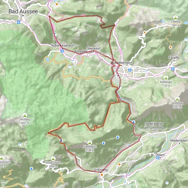
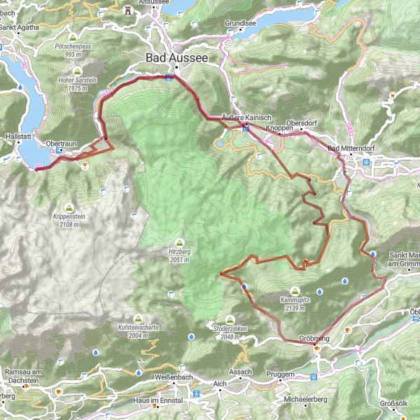
Zábavná štěrková trasa s 2227 m převýšením a 75 km
Tato trasa vás zavede kolem Koritzwand a Hörndl s nádhernými výhledy. Projedete malebným Bad Mitterndorfem a vystoupáte na Hochknall, odkud budete mít krásný rozhled. Celá cesta vám ukáže krásu kraje kolem Gröbmingu.
![Miniaturní mapa "Road route near Gröbming" inspirace pro cyklisty v oblasti Steiermark, Austria. Vytvořeno pomocí plánovače tras Tarmacs.app](https://images.tarmacs.app/cycling-routes/routemaps/600/austria/steiermark/groebming/road/188836.webp)
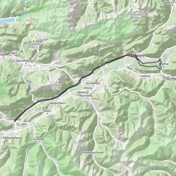
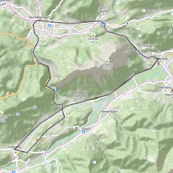
A scenic road cycling adventure with moderate ascent
Embark on a 78 km road cycling journey with 540 m of ascent near Gröbming. Highlights include Sankt Martin am Grimming, Lichtkogel, Wörschach, and more. Enjoy the picturesque views and smooth roads as you explore the Austrian countryside on two wheels.
![Miniaturní mapa "Kulmleiten - Schladming - Pruggern" inspirace pro cyklisty v oblasti Steiermark, Austria. Vytvořeno pomocí plánovače tras Tarmacs.app](https://images.tarmacs.app/cycling-routes/routemaps/600/austria/steiermark/groebming/road/188884.webp)
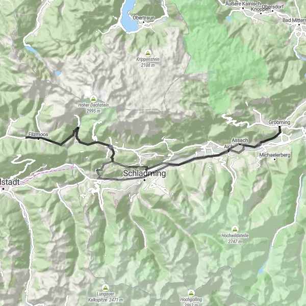
Příjemná silniční trasa s 1589 m převýšením a 88 km
Tato trasa vede kolem malebného Schladmingu a následně stoupá na Rittisberg s krásnými výhledy. Dále projedete Schildlehen a zastavíte se u Birnbergu. Cesta končí v Pruggernu, kde si můžete odpočinout a obdivovat okolní přírodu.
![Miniaturní mapa "Exploration gravel route from Gröbming" inspirace pro cyklisty v oblasti Steiermark, Austria. Vytvořeno pomocí plánovače tras Tarmacs.app](https://images.tarmacs.app/cycling-routes/routemaps/600/austria/steiermark/groebming/gravel/188878.webp)
An exciting gravel cycling journey with varying terrain
Embark on a 78 km gravel route with an ascent of 2247 m, starting from Gröbming. Highlights include Gröbming Sonderkrankenanstalt, Hochknall, Toplitzsee, Traun-Ursprung, and more. Experience the thrill of exploring diverse landscapes and challenging yourself on this cycling adventure in the Austrian countryside.
![Miniaturní mapa "Gröbming - Bad Ischl - Pötschenpass" inspirace pro cyklisty v oblasti Steiermark, Austria. Vytvořeno pomocí plánovače tras Tarmacs.app](https://images.tarmacs.app/cycling-routes/routemaps/600/austria/steiermark/groebming/road/188852.webp)
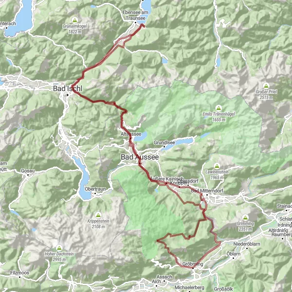
Náročná silniční trasa s 2415 m převýšením a 147 km
Tato trasa nabídne úchvatné výhledy na Hallstätter See a kalvárii v Bad Ischlu. Projedete kolem malebného Obertraunu až k Pötschenpass, který je obzvláště malebný. Během cesty se můžete těšit také na návštěvu Sankt Martin am Grimming a kulturní památky v Bad Mitterndorfu.
![Miniaturní mapa "Short road cycling route near Gröbming" inspirace pro cyklisty v oblasti Steiermark, Austria. Vytvořeno pomocí plánovače tras Tarmacs.app](https://images.tarmacs.app/cycling-routes/routemaps/600/austria/steiermark/groebming/road/188838.webp)
A quick road cycling adventure with moderate ascent and beautiful views
Enjoy a 49 km road cycling route with 805 m of ascent near Gröbming. Highlights include Gröbming Sonderkrankenanstalt, Hochknall, Poser, Tauplitz, and more. Experience the joy of cycling through scenic routes with varying terrains and panoramic views of the Austrian countryside.
![Miniaturní mapa "Gravel route around Gröbming" inspirace pro cyklisty v oblasti Steiermark, Austria. Vytvořeno pomocí plánovače tras Tarmacs.app](https://images.tarmacs.app/cycling-routes/routemaps/600/austria/steiermark/groebming/gravel/188873.webp)
Cycling through picturesque landscapes with a challenging ascent
Explore stunning views along this 156 km gravel route with a total ascent of 3423 m. Highlights include Gröbming Sonderkrankenanstalt, Mühlreith, Hörndl Kogel, and more. Don't miss out on the unique experience of cycling through the Austrian countryside.
![Miniaturní mapa "Scenic gravel route around Gröbming" inspirace pro cyklisty v oblasti Steiermark, Austria. Vytvořeno pomocí plánovače tras Tarmacs.app](https://images.tarmacs.app/cycling-routes/routemaps/600/austria/steiermark/groebming/gravel/188843.webp)
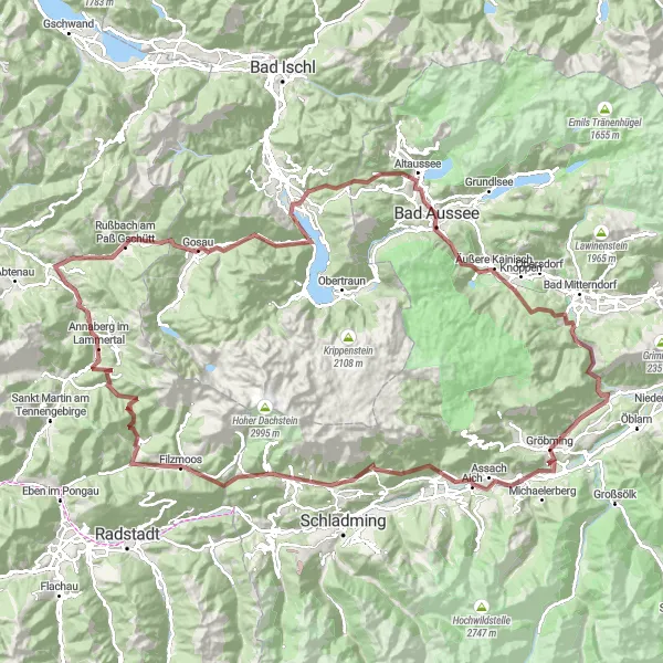
An adventurous gravel cycling journey with a mix of terrains
Discover the beauty of the Austrian countryside on this 102 km gravel route with an ascent of 2327 m. Highlights include Gröbming, Koritzwand, Hörndl, Bad Aussee, and more. Experience the thrill of cycling through diverse landscapes and soaking in the natural beauty of the surroundings.
![Miniaturní mapa "Gravel výlet skrze Ramsau am Dachstein" inspirace pro cyklisty v oblasti Steiermark, Austria. Vytvořeno pomocí plánovače tras Tarmacs.app](https://images.tarmacs.app/cycling-routes/routemaps/600/austria/steiermark/groebming/gravel/188940.webp)
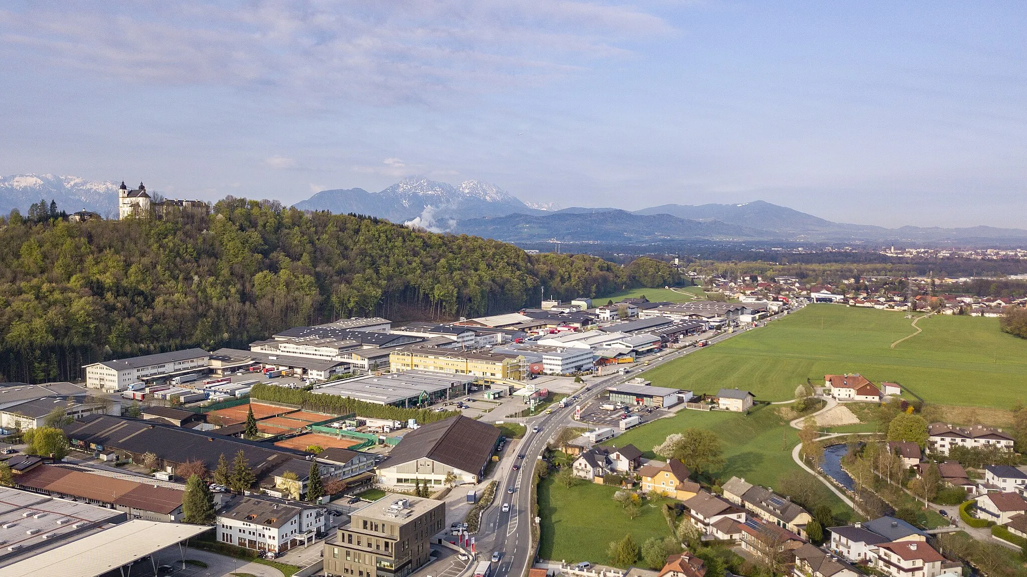
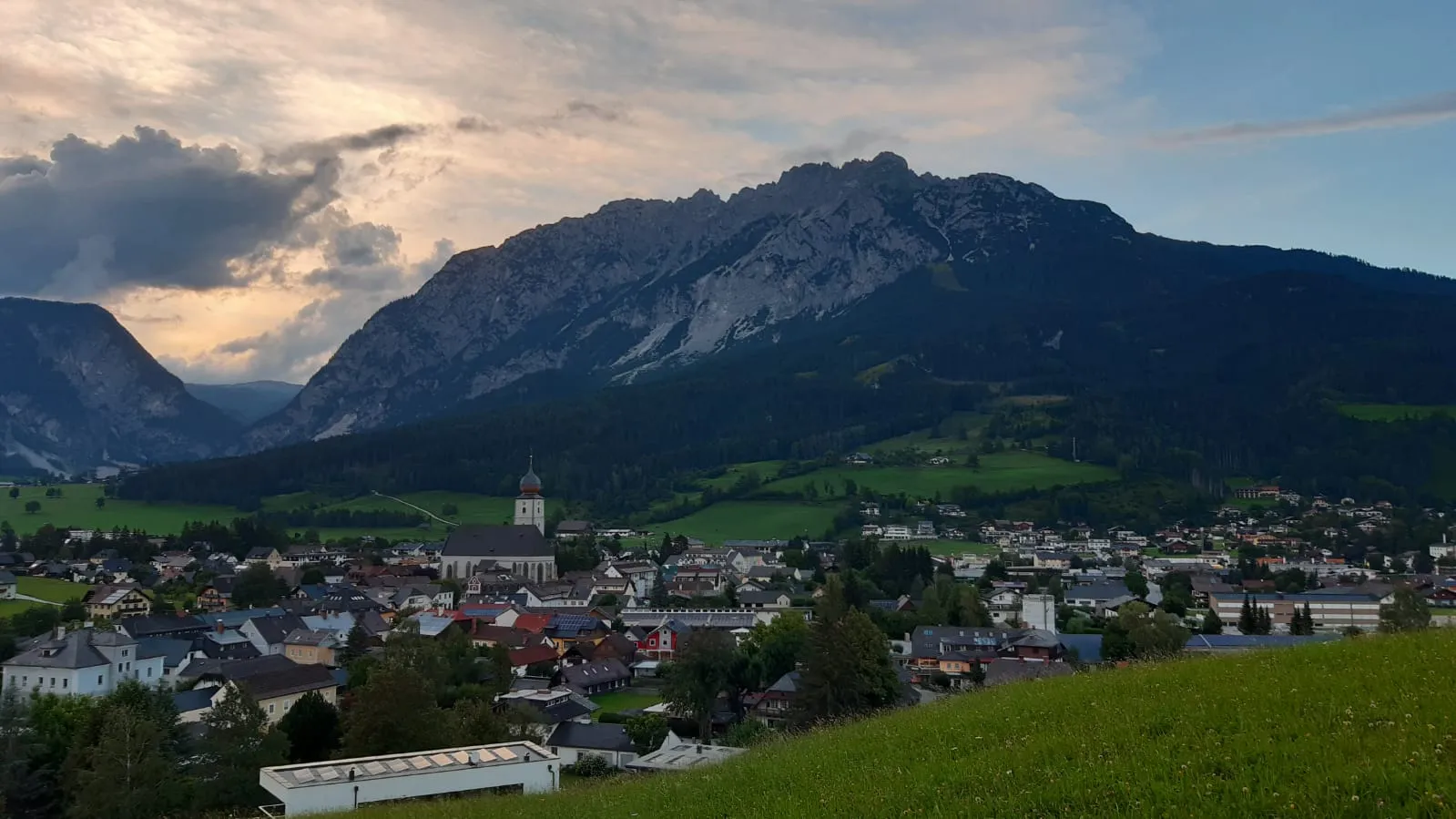
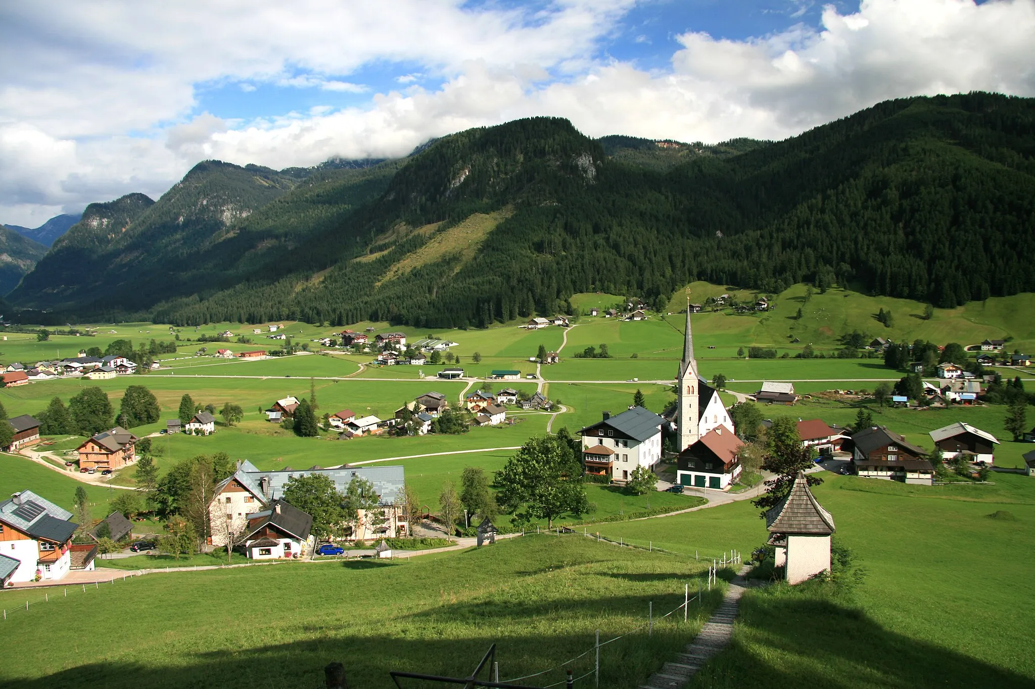
Expedice za krásou v okolí Ramsau am Dachstein
Trasa s převýšením 3519 metrů je vyloženým kamením na vaší cestě gruzínskou krajinou, se zastávkami na místech jako Ramsau am Dachstein či Annaberg im Lammertal.
Cyklotrasy v okolí:
![Obrázek Haus im Ennstal](https://images.tarmacs.app/cycling-routes/covers/austria/steiermark/haus-im-ennstal-5.webp)
![Obrázek Schladming](https://images.tarmacs.app/cycling-routes/covers/austria/steiermark/schladming-5.webp)
![Obrázek Stainach](https://images.tarmacs.app/cycling-routes/covers/austria/steiermark/stainach-5.webp)
![Obrázek Ramsau am Dachstein](https://images.tarmacs.app/cycling-routes/covers/austria/steiermark/ramsau-am-dachstein-5.webp)
![Obrázek Liezen](https://images.tarmacs.app/cycling-routes/covers/austria/steiermark/liezen-2.webp)
![Obrázek Bad Goisern](https://images.tarmacs.app/cycling-routes/covers/austria/oberosterreich/bad-goisern-5.webp)
![Obrázek Gosau](https://images.tarmacs.app/cycling-routes/covers/austria/oberosterreich/gosau-4.webp)
![Obrázek Mariapfarr](https://images.tarmacs.app/cycling-routes/covers/austria/salzburg/mariapfarr-5.webp)
![Obrázek Radstadt](https://images.tarmacs.app/cycling-routes/covers/austria/salzburg/radstadt-5.webp)
Okolní oblasti:
![Obrázek Burgenland](https://images.tarmacs.app/cycling-routes/covers/austria/burgenland/bad-sauerbrunn-5.webp)
![Obrázek Niederösterreich](https://images.tarmacs.app/cycling-routes/covers/austria/niederosterreich/gross-enzersdorf-2.webp)
![Obrázek Vídeň](https://images.tarmacs.app/cycling-routes/covers/austria/wien/favoriten-3.webp)
![Obrázek Kärnten](https://images.tarmacs.app/cycling-routes/covers/austria/karnten/feldkirchen-in-kaernten-1.webp)
![Obrázek Oberösterreich](https://images.tarmacs.app/cycling-routes/covers/austria/oberosterreich/thalheim-bei-wels-2.webp)
![Obrázek Salzburg](https://images.tarmacs.app/cycling-routes/covers/austria/salzburg/bergheim-2.webp)
![Obrázek Tirol](https://images.tarmacs.app/cycling-routes/covers/austria/tirol/roppen-5.webp)
![Obrázek Jihozápad](https://images.tarmacs.app/cycling-routes/covers/czech-republic/jihozapad/tremosna-2.webp)
![Obrázek Jihovýchod](https://images.tarmacs.app/cycling-routes/covers/czech-republic/jihovychod/milotice-5.webp)
![Obrázek Oberbayern](https://images.tarmacs.app/cycling-routes/covers/germany/oberbayern/tuntenhausen-5.webp)
![Obrázek Sjeverna Hrvatska](https://images.tarmacs.app/cycling-routes/covers/croatia/sjeverna-hrvatska/nedelisce-1.webp)
![Obrázek Nyugat-Dunántúl](https://images.tarmacs.app/cycling-routes/covers/hungary/nyugat-dunantul/fertoszentmiklos-5.webp)
![Obrázek Vzhodna Slovenija](https://images.tarmacs.app/cycling-routes/covers/slovenia/vzhodna-slovenija/semic-4.webp)