![Cover image](https://images.tarmacs.app/cycling-routes/covers/czech-republic/stredni-cechy/melnik-4.webp)
Mix of flat terrain and challenging climbs for cyclists
Cyklistické trasy kolem Melnik
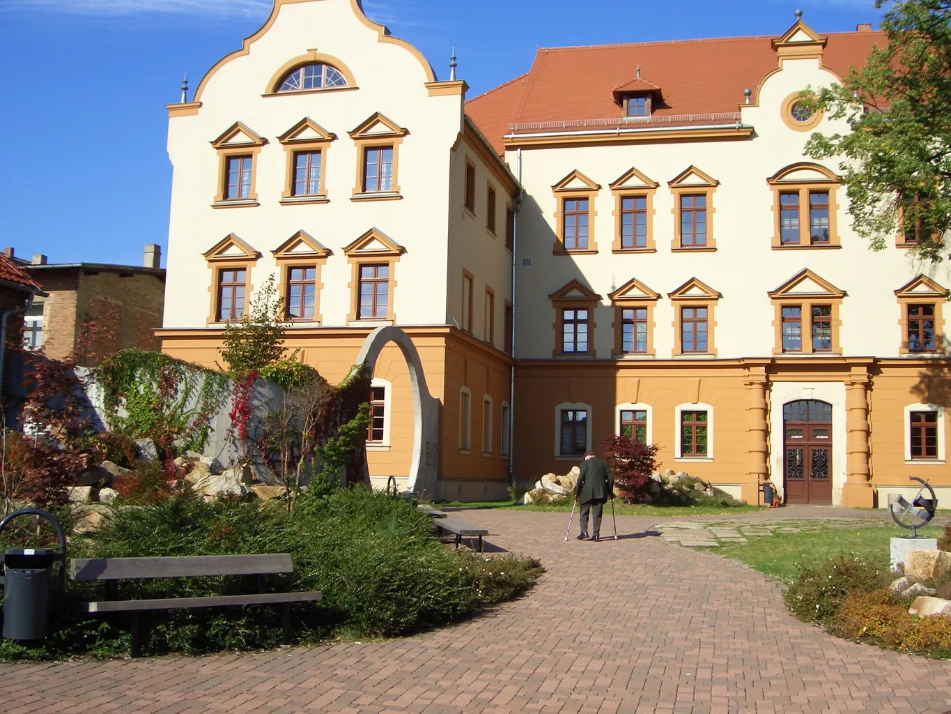
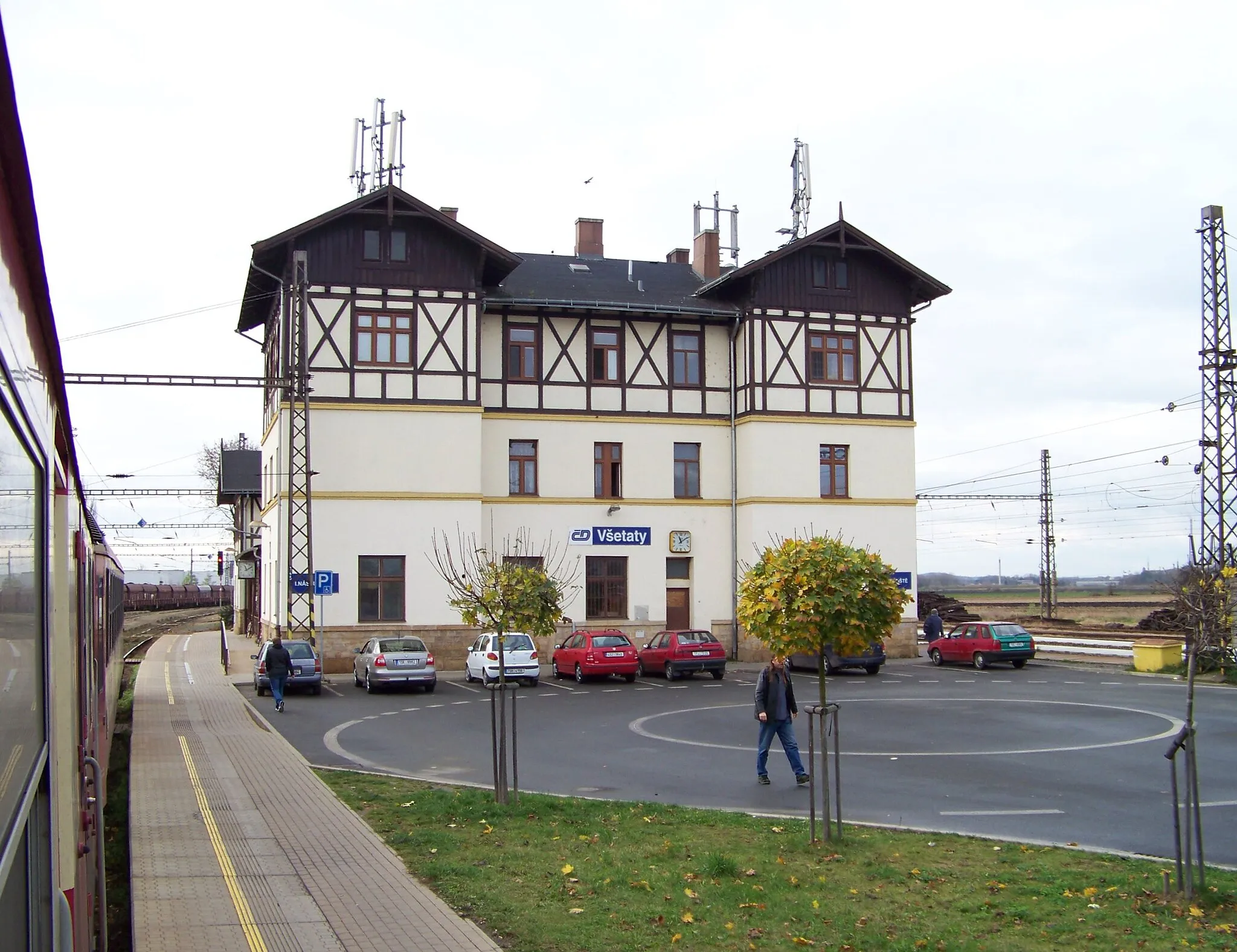
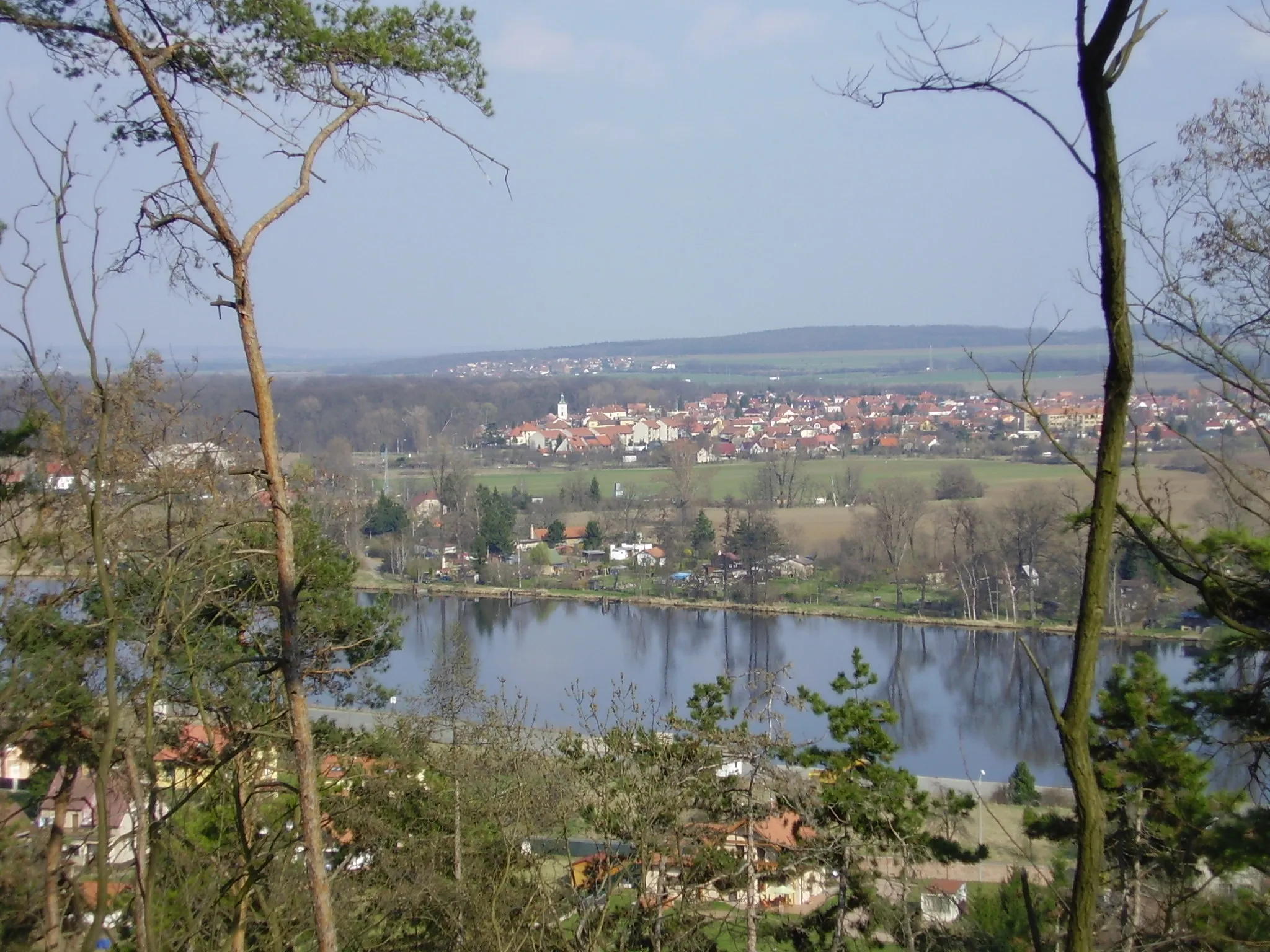
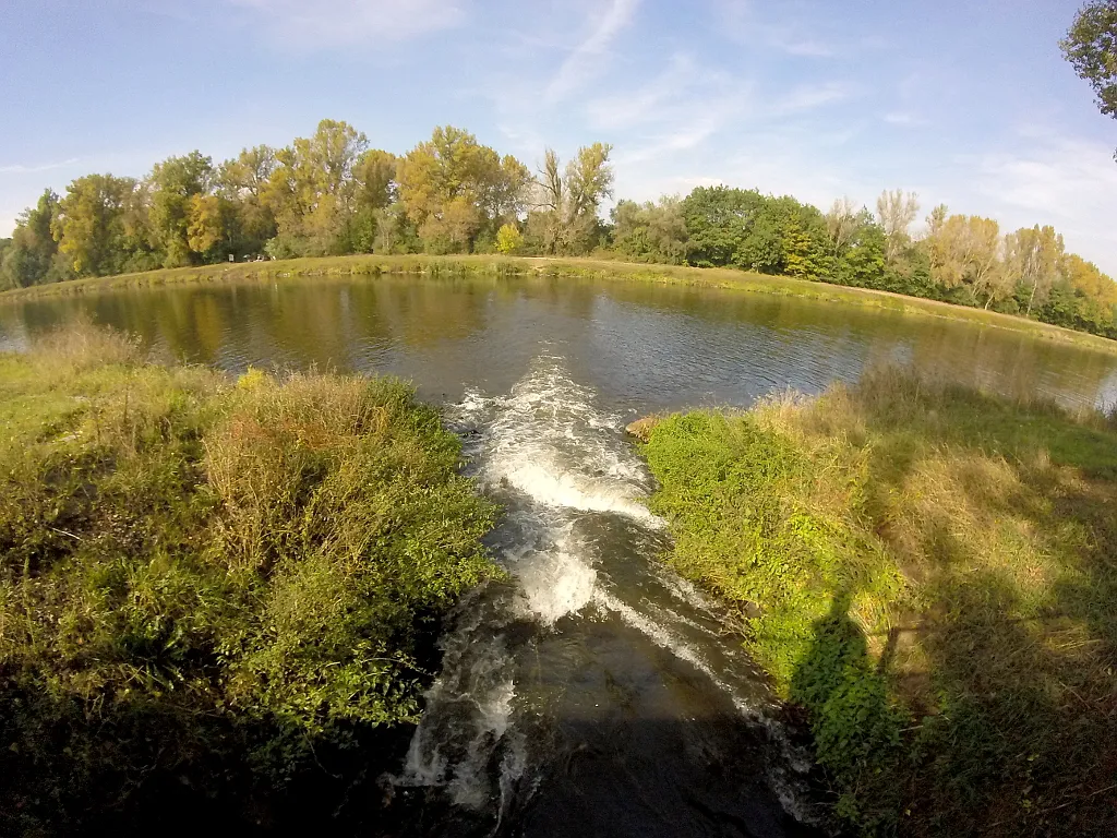
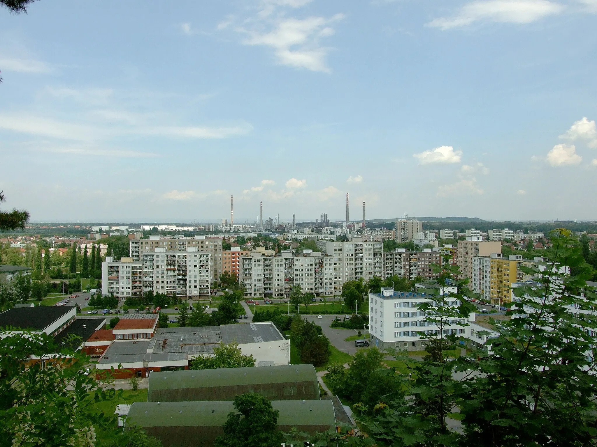
Mělník is a popular town in Střední Čechy known for its wine production and historic castle. For cyclists, the area offers a mix of flat terrain along the Vltava River and challenging climbs in the surrounding hills. The town itself is bustling with activity, making it a great base for exploring the region by bike. Cyclists can enjoy scenic rides through vineyards, orchards, and picturesque villages. Mělník is a good choice for cyclists interested in both leisurely rides and more demanding routes.
![Miniaturní mapa "Gravel route from Mělník" inspirace pro cyklisty v oblasti Střední Čechy, Czech Republic. Vytvořeno pomocí plánovače tras Tarmacs.app](https://images.tarmacs.app/cycling-routes/routemaps/600/czech-republic/stredni-cechy/melnik/gravel/272233.webp)
Exploring the countryside on a gravel bike
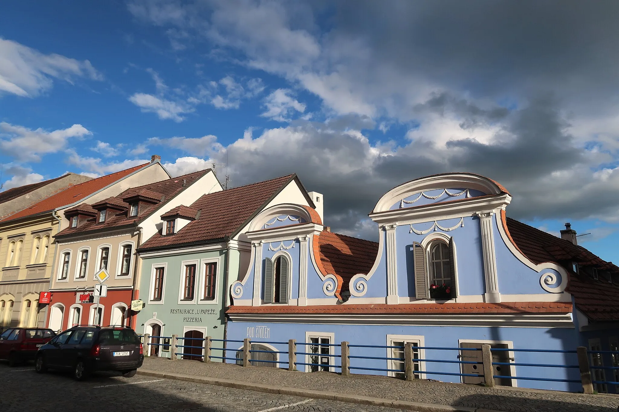
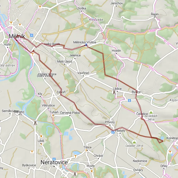
This gravel route near Mělník offers a picturesque ride through the Czech countryside, with highlights including the charming village of Velký Borek and the historic Zámek Mělník. The route features a moderate ascent and is perfect for a leisurely day out on two wheels.
![Miniaturní mapa "Extended gravel route with historic sites" inspirace pro cyklisty v oblasti Střední Čechy, Czech Republic. Vytvořeno pomocí plánovače tras Tarmacs.app](https://images.tarmacs.app/cycling-routes/routemaps/600/czech-republic/stredni-cechy/melnik/gravel/272257.webp)
Discovering historical landmarks on a challenging ride
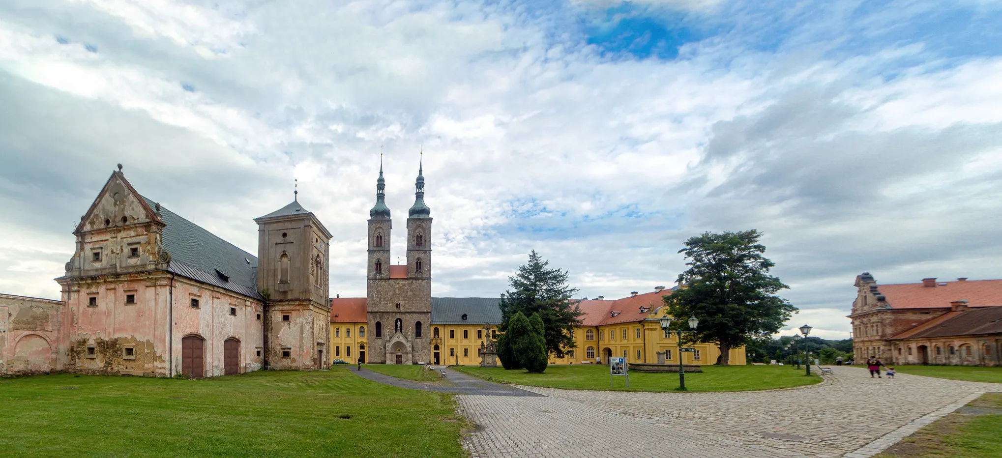
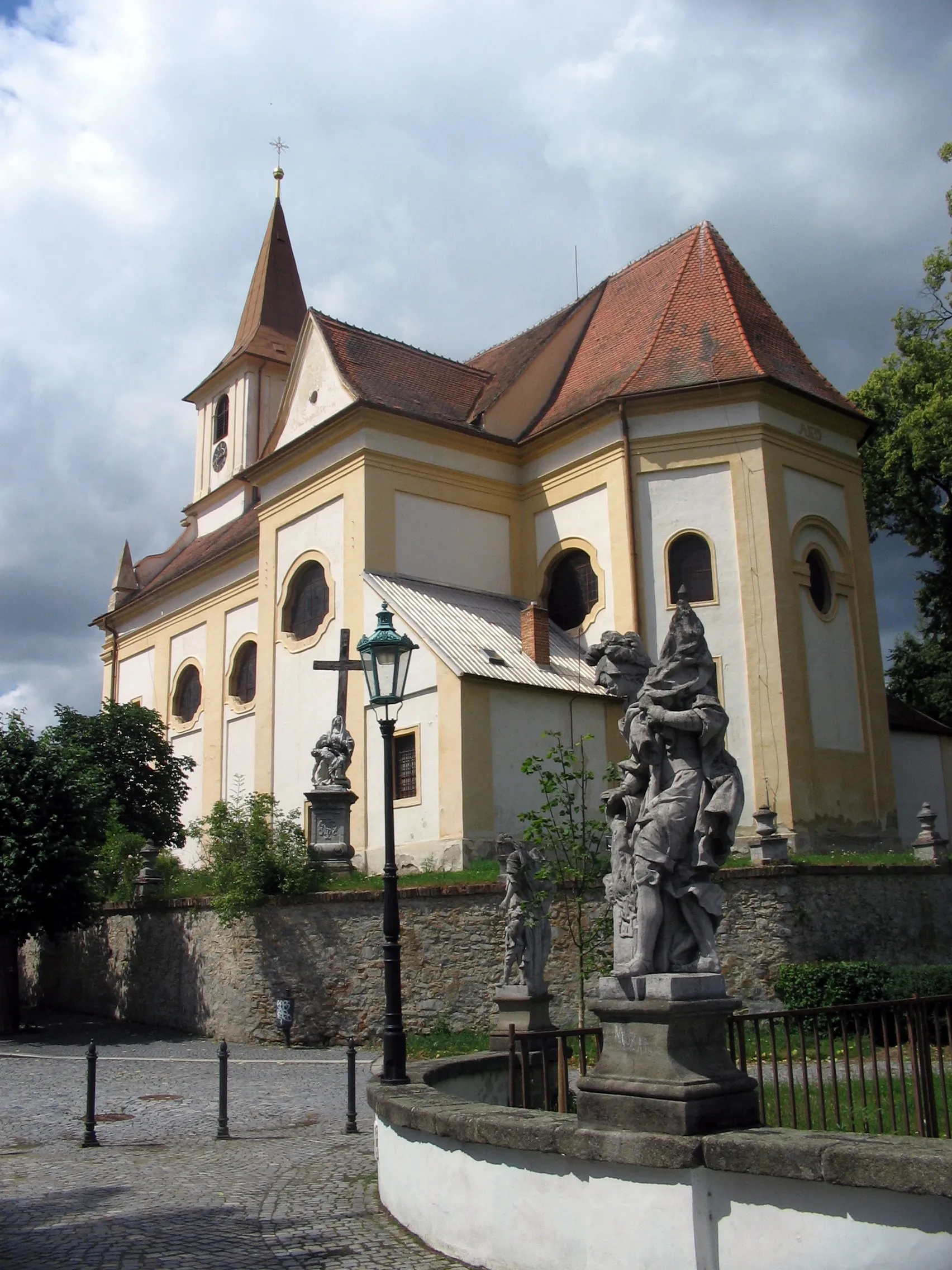
This longer gravel route near Mělník takes cyclists past several historic sites, including the impressive Liběchov and the striking Berkovský vrch. With a substantial ascent, this route is ideal for more experienced riders looking to combine history and adventure in one journey.
![Miniaturní mapa "Scenic road route through Czech villages" inspirace pro cyklisty v oblasti Střední Čechy, Czech Republic. Vytvořeno pomocí plánovače tras Tarmacs.app](https://images.tarmacs.app/cycling-routes/routemaps/600/czech-republic/stredni-cechy/melnik/road/272272.webp)
Explore the beauty of the Czech countryside by road bike
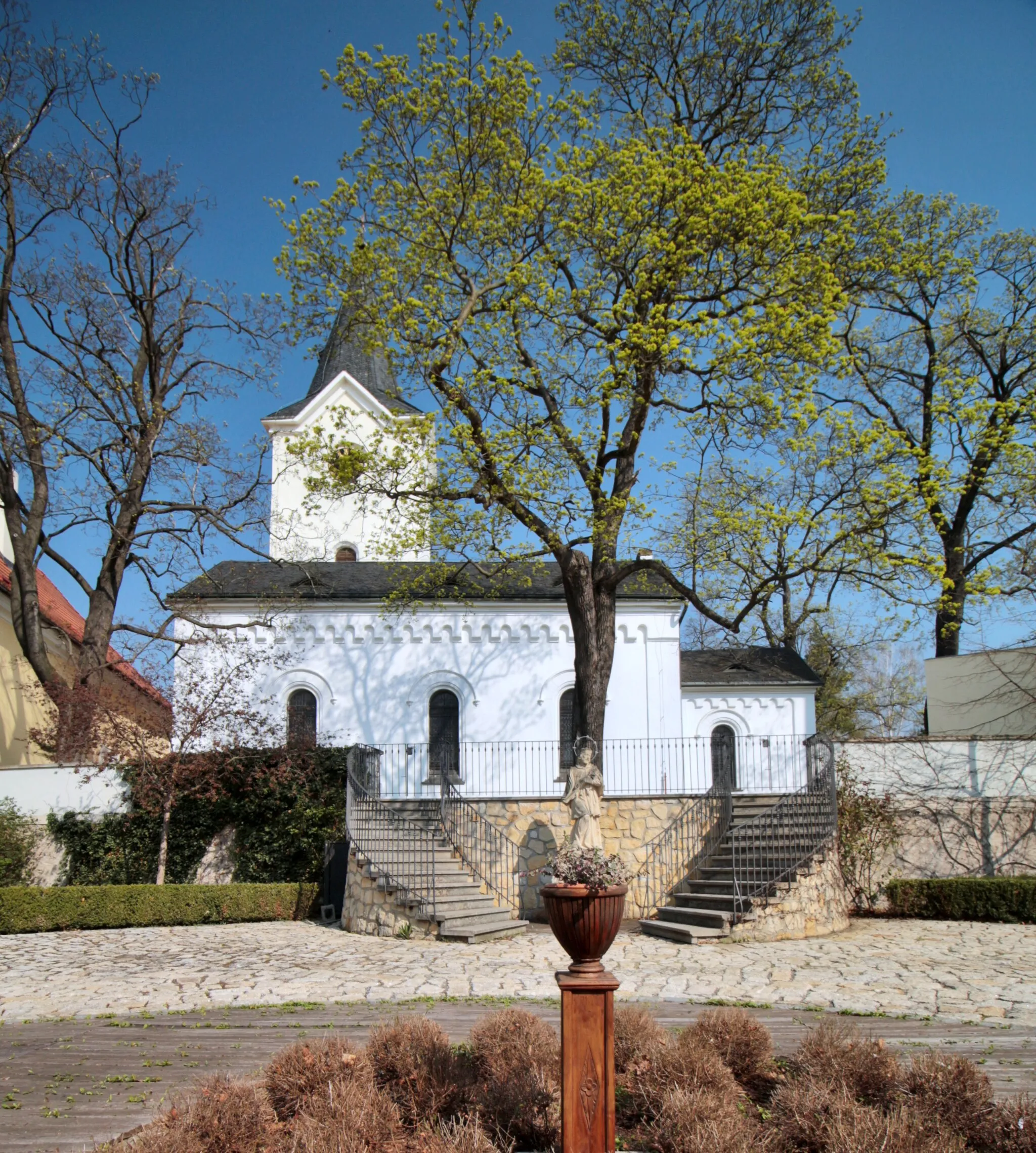
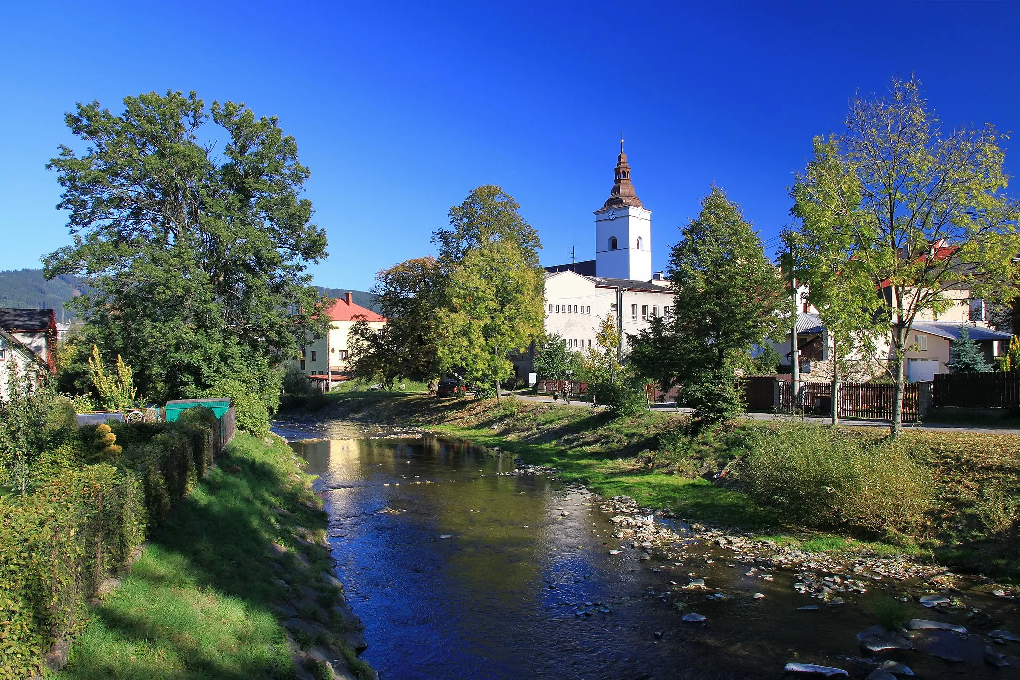
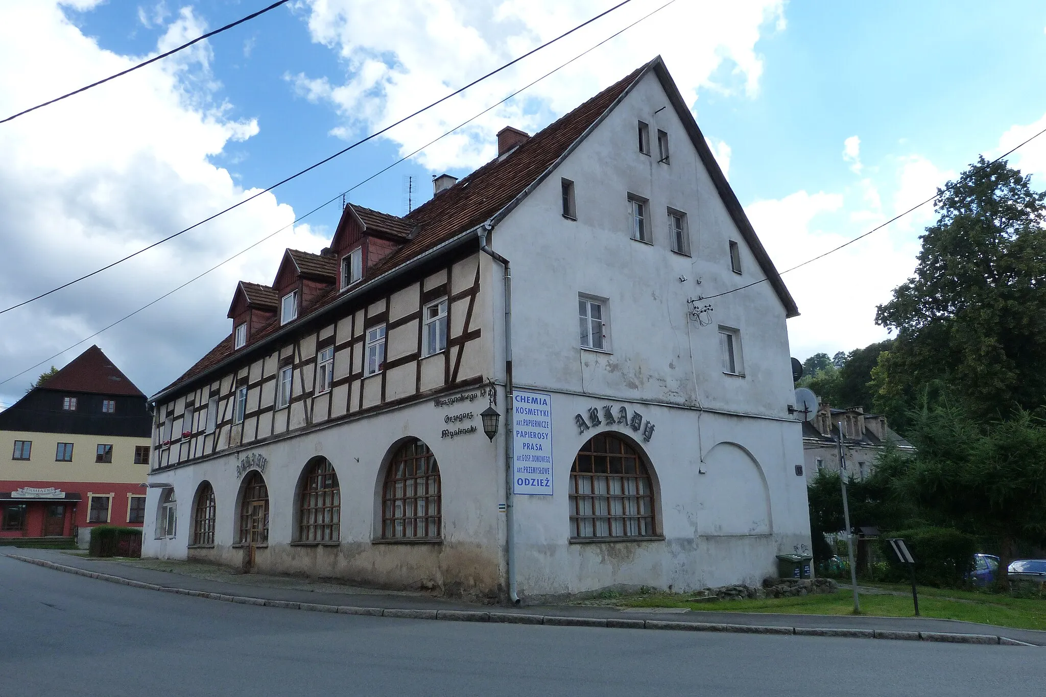
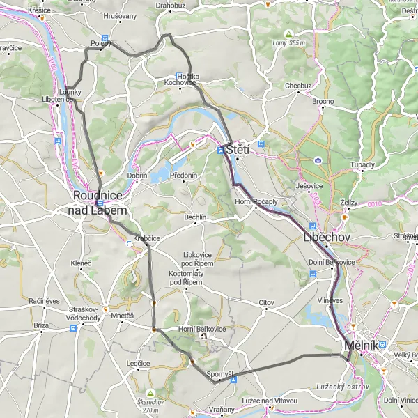
This road route near Mělník takes cyclists through charming Czech villages and past historical landmarks, with highlights including the picturesque Ctiněves and the tranquil Polepy. With moderate elevation gain and a mix of rural and urban landscapes, this route offers a delightful cycling experience for riders of all levels.
![Miniaturní mapa "Mezi přírodou a vesnicemi - Gravel" inspirace pro cyklisty v oblasti Střední Čechy, Czech Republic. Vytvořeno pomocí plánovače tras Tarmacs.app](https://images.tarmacs.app/cycling-routes/routemaps/600/czech-republic/stredni-cechy/melnik/gravel/272271.webp)
Průjezd přírodou a idylickými vesnicemi
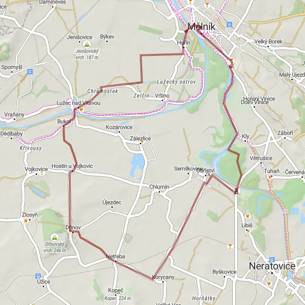
67 km dlouhý okruh vede převážně přes přírodu a malebné vesnice Středních Čech. Cestou projedete malebnou vesnici Bukol, Strachovskou haldu a Sazenou. Celkové převýšení činí 397 metrů.
![Miniaturní mapa "Gravelová cesta kolem Mělníka" inspirace pro cyklisty v oblasti Střední Čechy, Czech Republic. Vytvořeno pomocí plánovače tras Tarmacs.app](https://images.tarmacs.app/cycling-routes/routemaps/600/czech-republic/stredni-cechy/melnik/gravel/272302.webp)
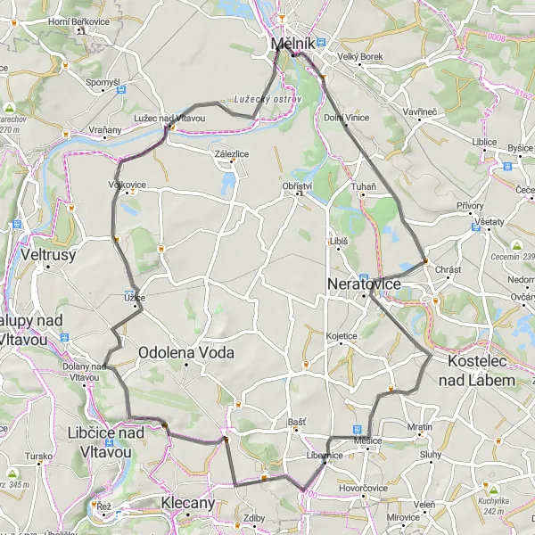
Zajímavá gravelová trasa prozkoumávající malebné okolí Mělníka.
Gravelová cyklistická trasa začínající nedaleko Mělníka vede kolem zámku Mělník a pokračuje přes Homolku a Netřebu. Trasa nabízí krásné výhledy a zajímavé scenérie, které stojí za objevení. Cestou také míjíte Hořín a končí u Pražské brány.
![Miniaturní mapa "Challenging gravel route through the Czech countryside" inspirace pro cyklisty v oblasti Střední Čechy, Czech Republic. Vytvořeno pomocí plánovače tras Tarmacs.app](https://images.tarmacs.app/cycling-routes/routemaps/600/czech-republic/stredni-cechy/melnik/gravel/272312.webp)
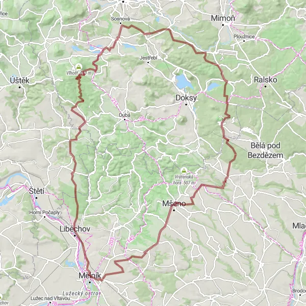
A demanding adventure through diverse landscapes
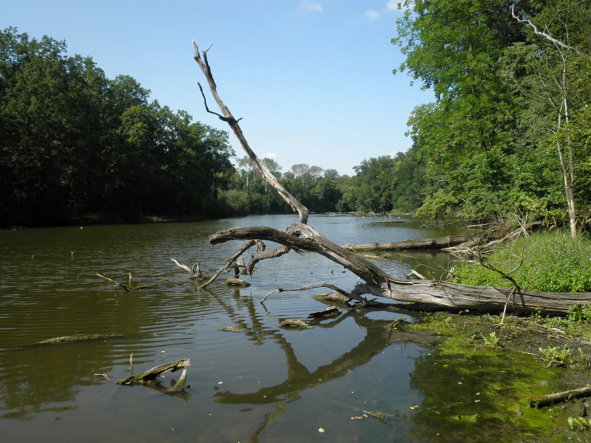
This challenging gravel route near Mělník showcases the beauty of the Czech countryside, with highlights including the tranquil Mošnice and the majestic Bezděz. With a substantial ascent, this route is perfect for experienced cyclists seeking a test of endurance and stunning natural scenery.
![Miniaturní mapa "Krajem středověkých tvrzí - Road" inspirace pro cyklisty v oblasti Střední Čechy, Czech Republic. Vytvořeno pomocí plánovače tras Tarmacs.app](https://images.tarmacs.app/cycling-routes/routemaps/600/czech-republic/stredni-cechy/melnik/road/272238.webp)
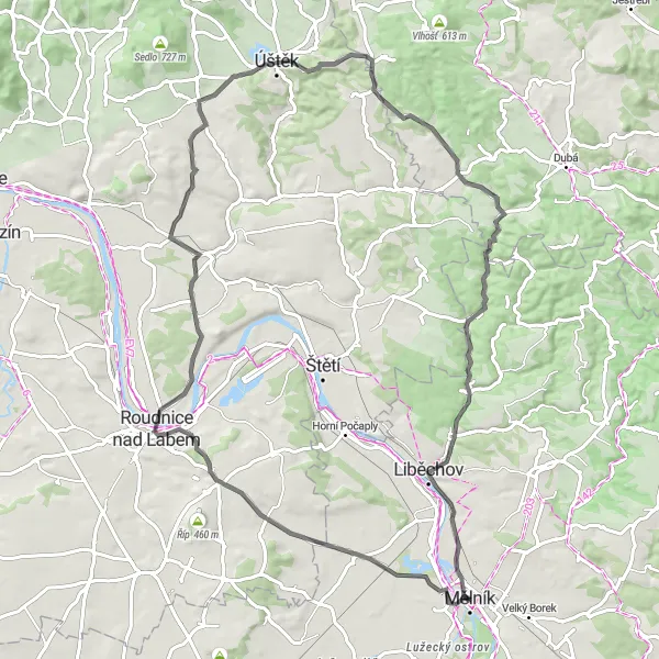
Výlet mezi středověkými památkami
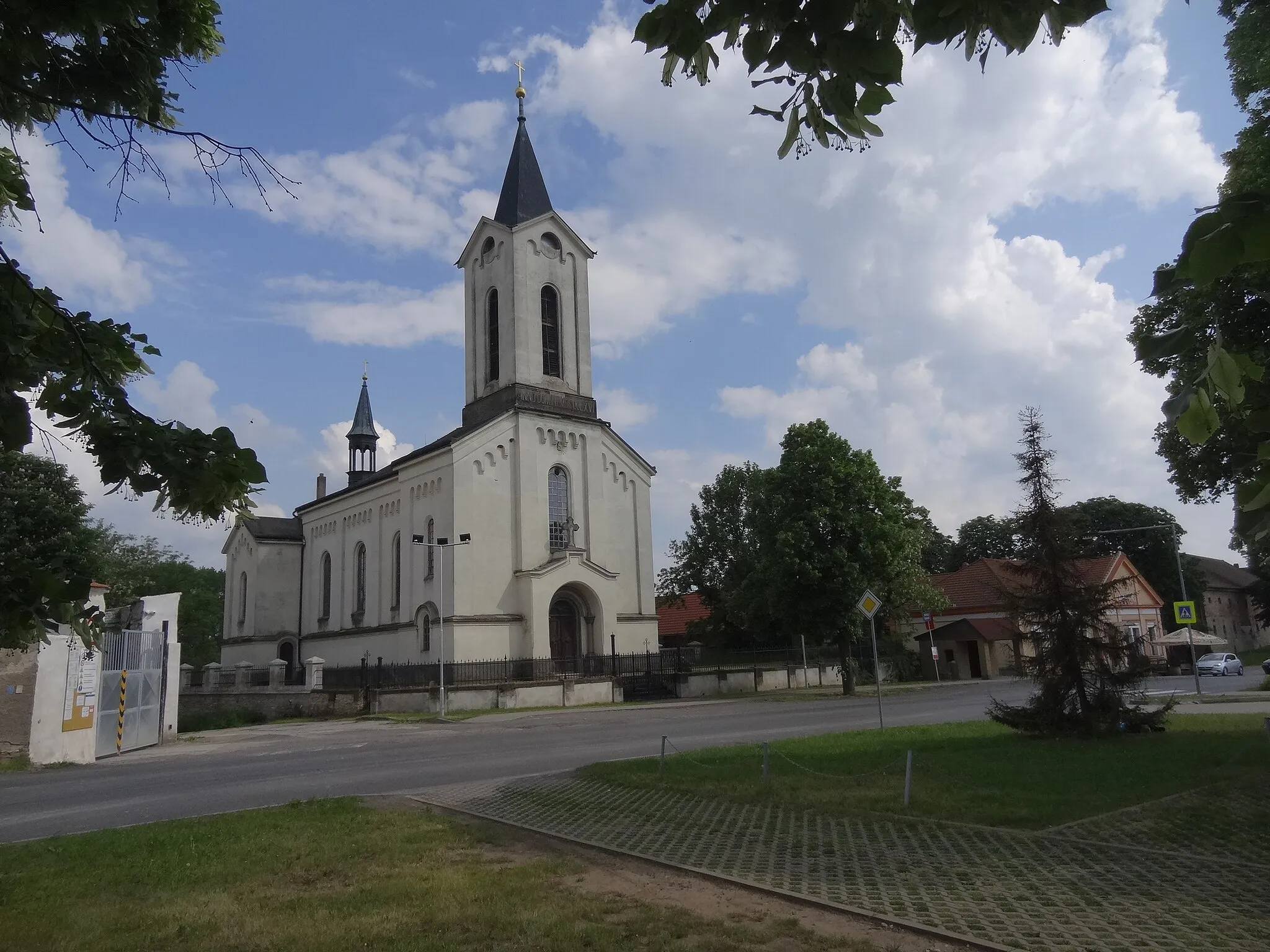
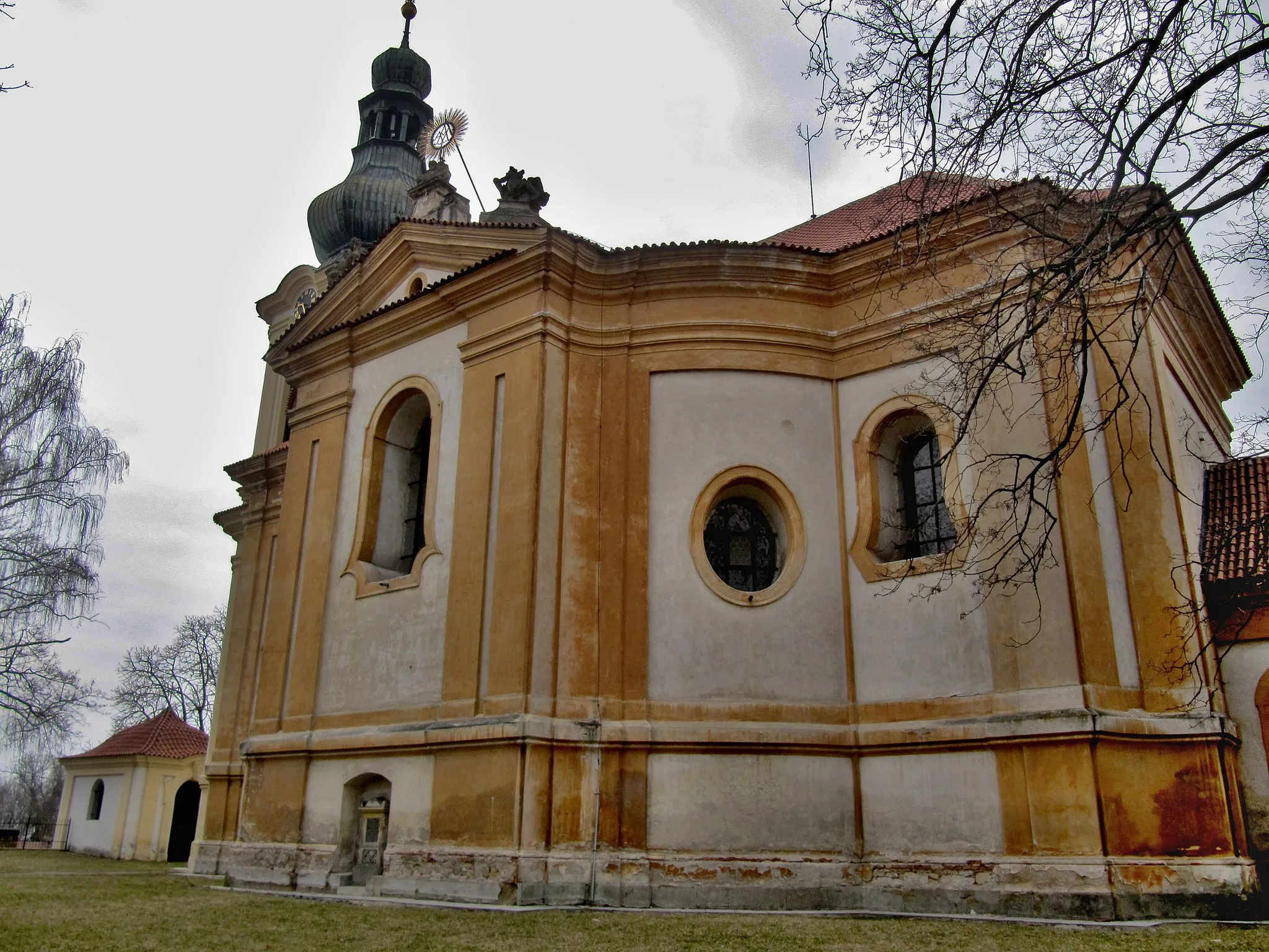
Trasa v délce 81 km vás zavede kolem středověkých tvrzí a vesnic. Cestou navštívíte Krabčice, Hostěraz, Libínky, Tuhaň a Liběchov. Celkové převýšení činí 770 metrů.
![Miniaturní mapa "Okolím Mělníku - Road" inspirace pro cyklisty v oblasti Střední Čechy, Czech Republic. Vytvořeno pomocí plánovače tras Tarmacs.app](https://images.tarmacs.app/cycling-routes/routemaps/600/czech-republic/stredni-cechy/melnik/road/272299.webp)
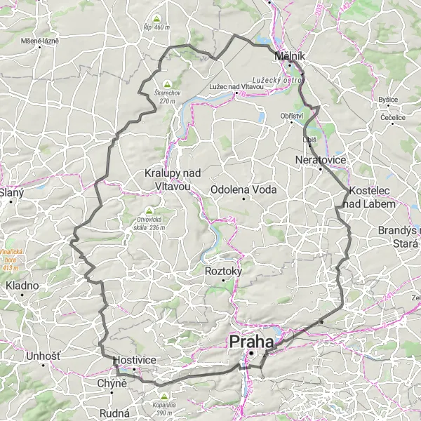
Projíždka malebným středoceským venkovem
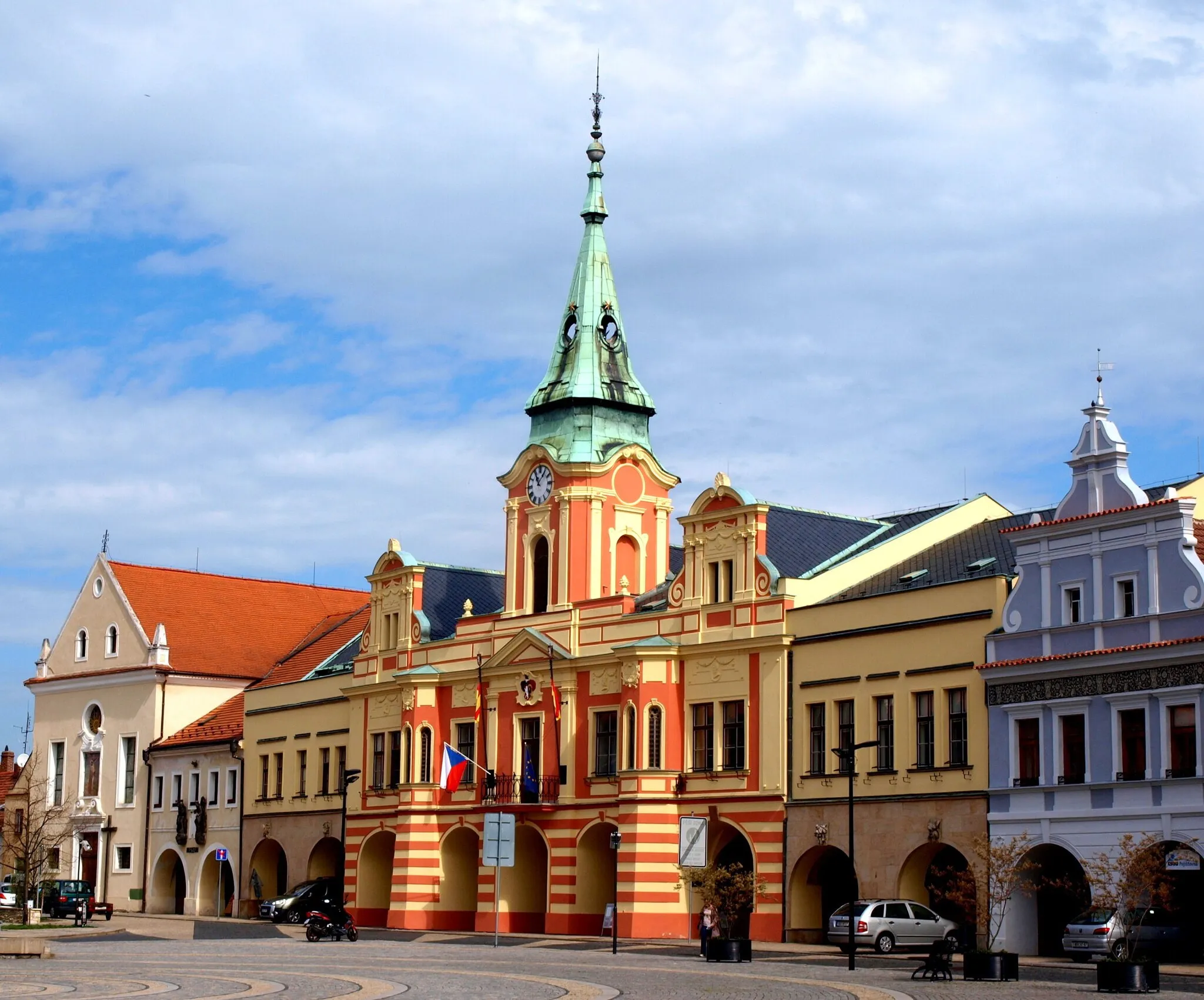
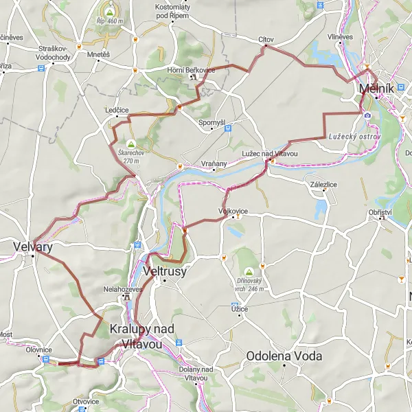
Okruh v délce 62 km nabízí malebný výhled na krajinu Středních Čech. Cestou projedete kolem historické Pražské brány, pitoreskní Líbeznice a malebného Zelčína. Celkový převýšení činí 273 metrů.
![Miniaturní mapa "Scenic road route with cultural highlights" inspirace pro cyklisty v oblasti Střední Čechy, Czech Republic. Vytvořeno pomocí plánovače tras Tarmacs.app](https://images.tarmacs.app/cycling-routes/routemaps/600/czech-republic/stredni-cechy/melnik/road/272270.webp)
Immersing in the beauty of the Czech countryside by road bike
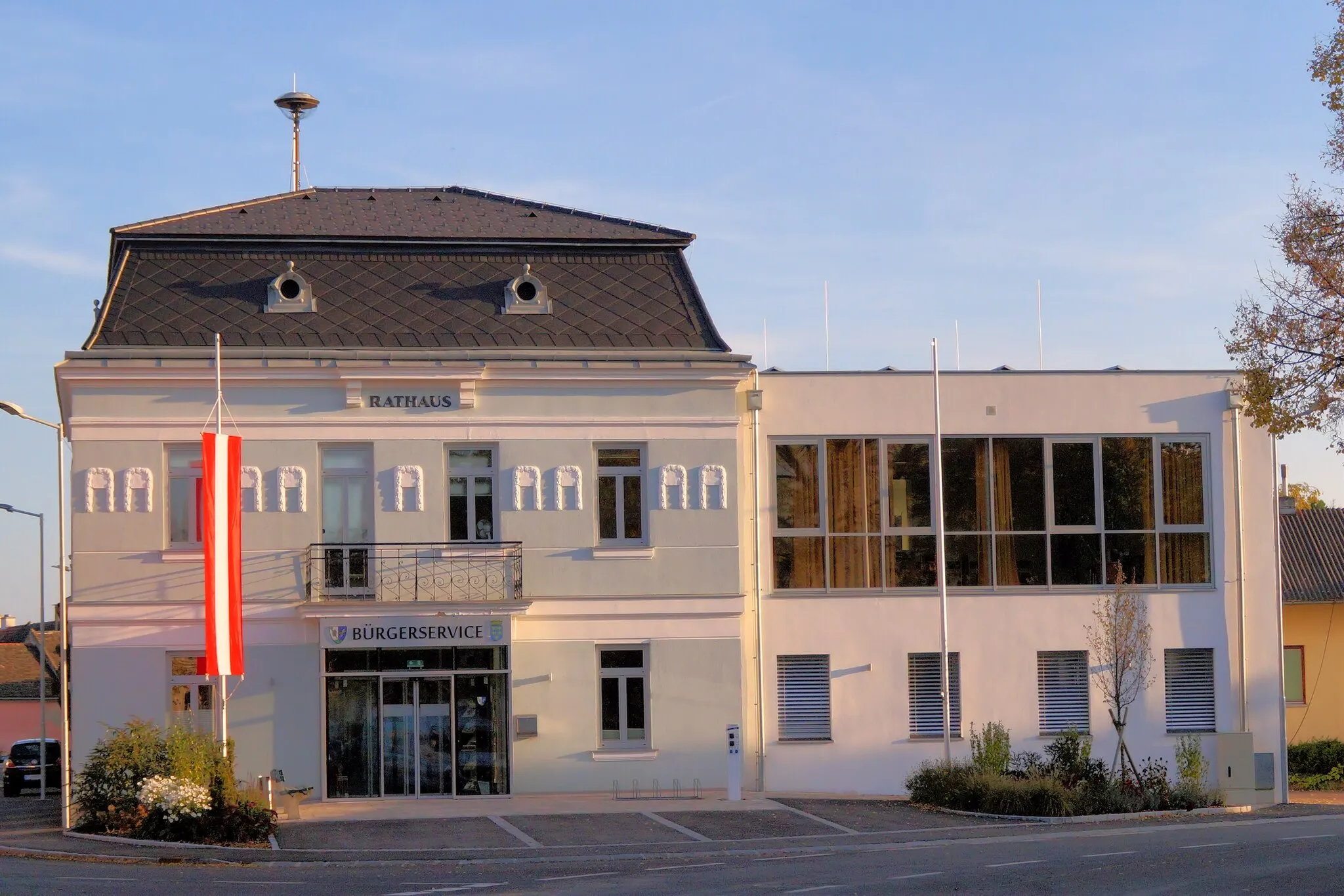
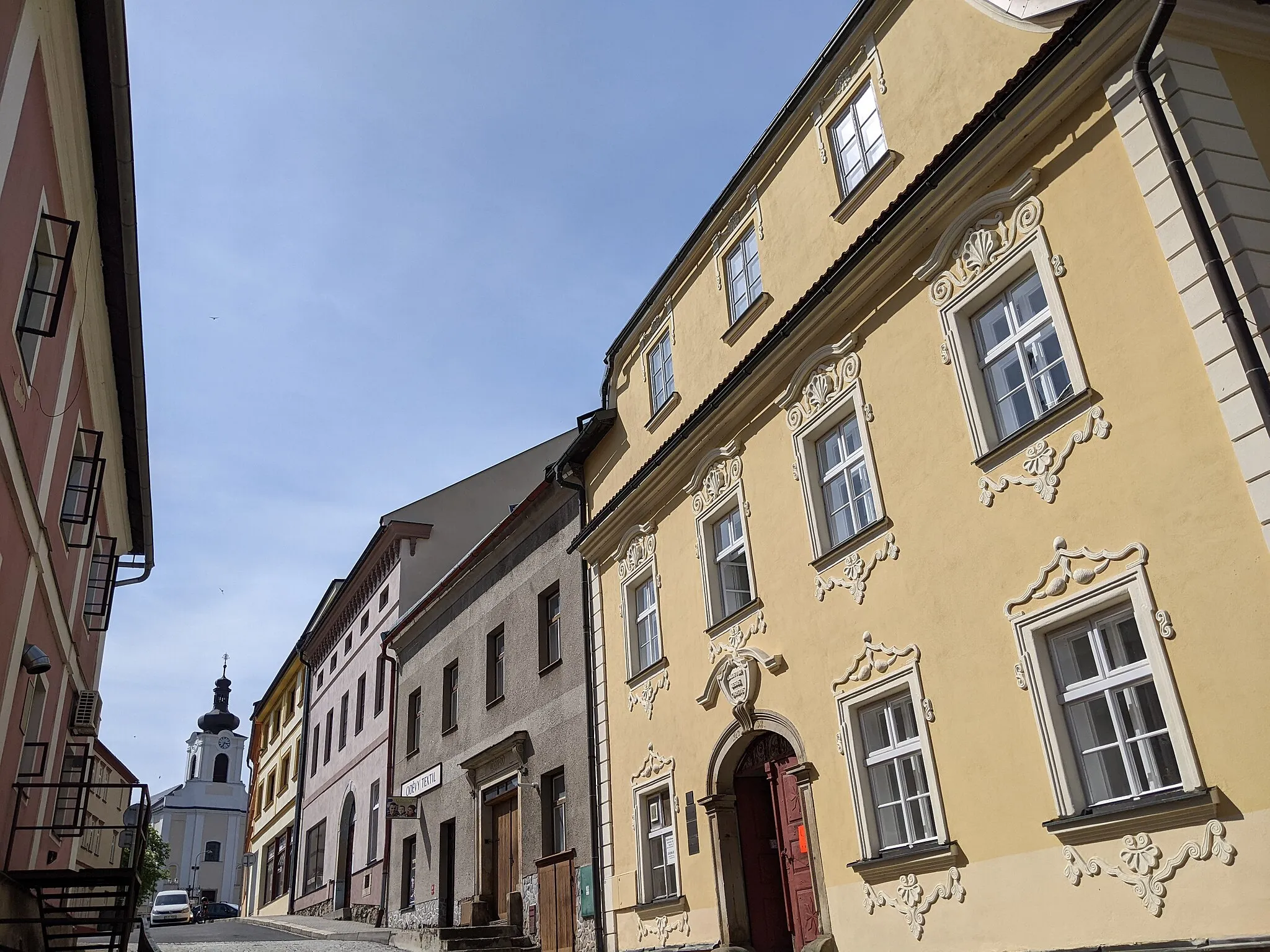
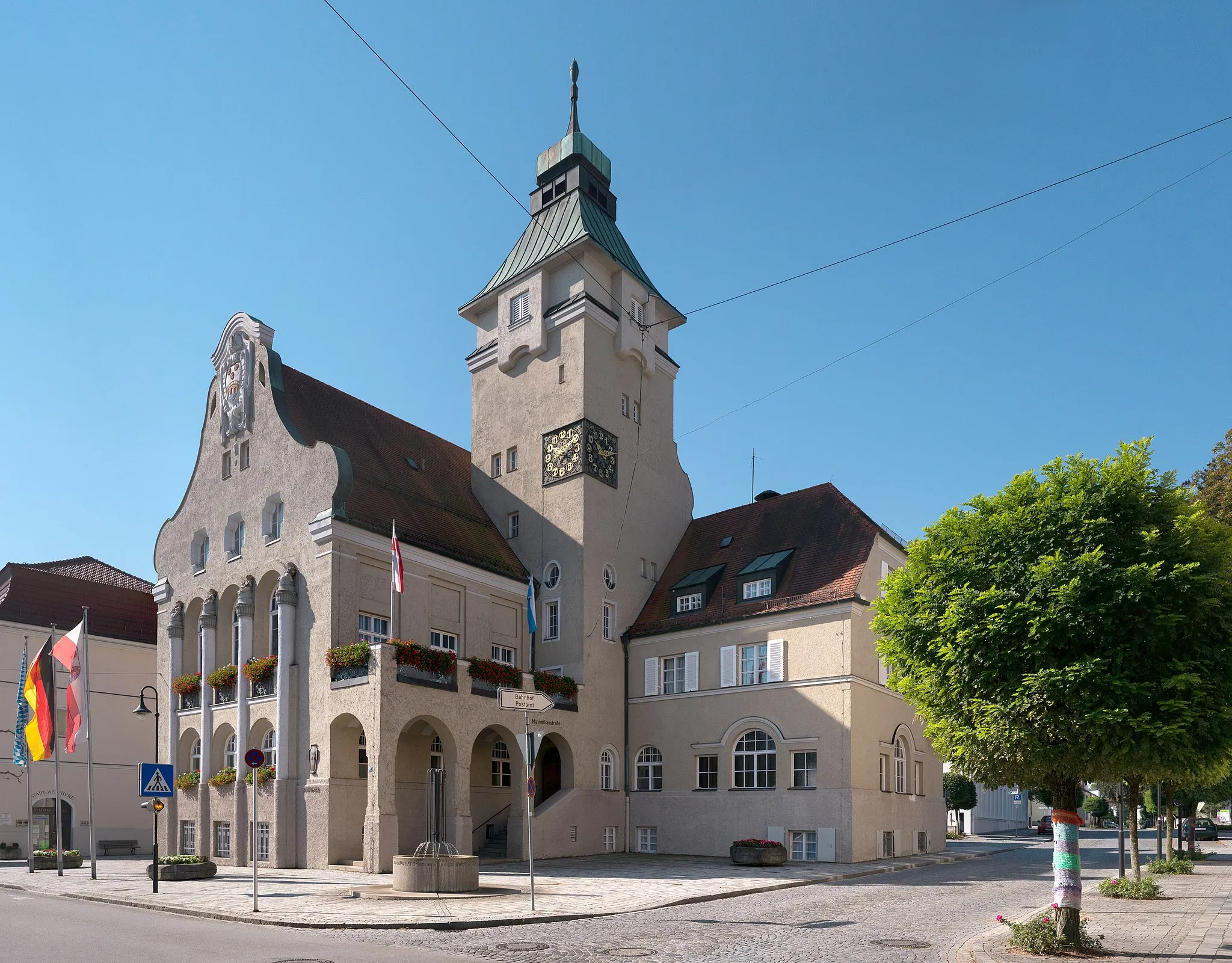
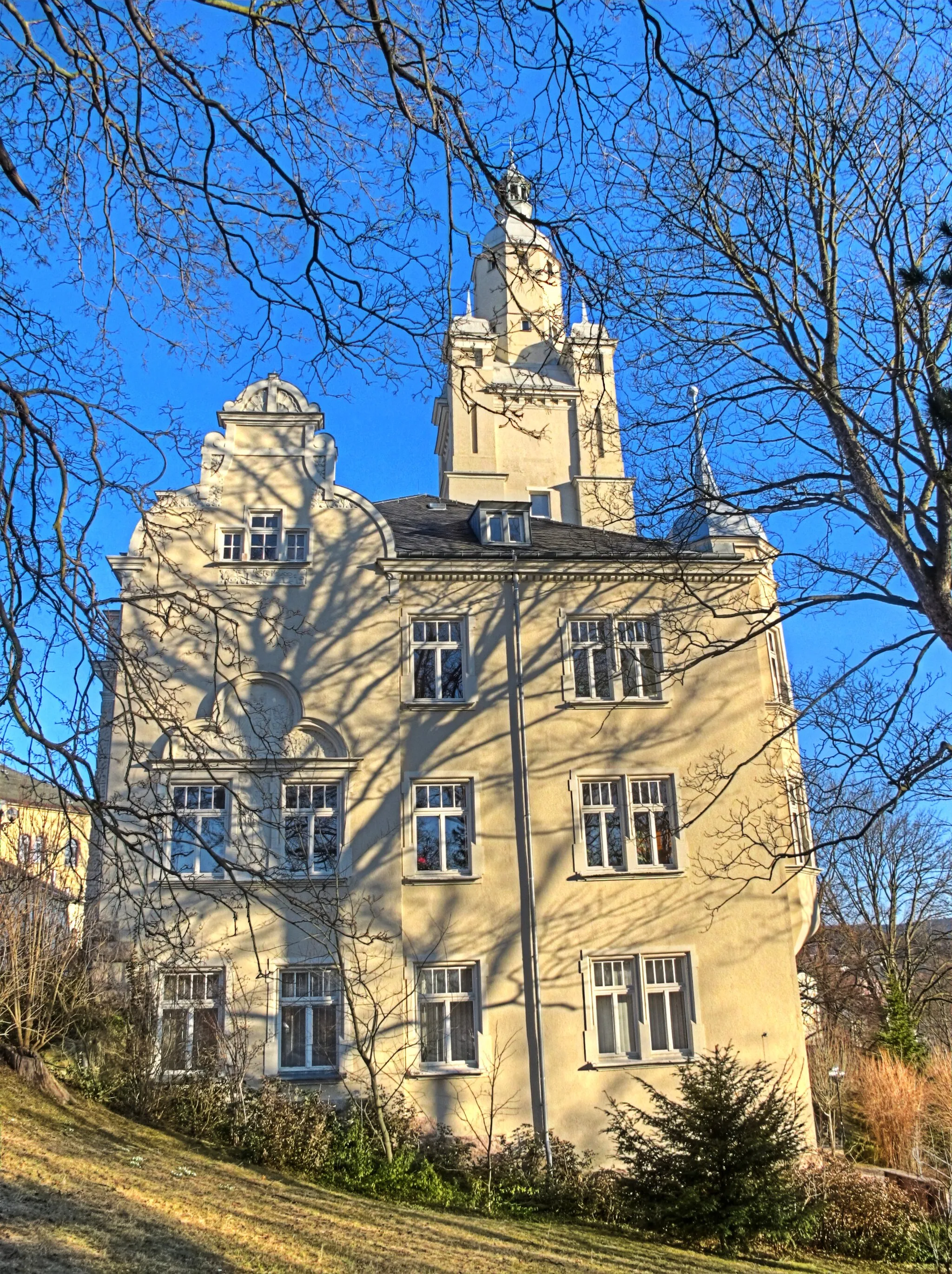
This road route near Mělník offers cyclists a chance to experience the scenic beauty of the Czech countryside, with highlights including the charming village of Libiš and the striking New Town Hall. With moderate elevation gain and diverse landscapes, this route is perfect for riders looking to soak up the culture and natural beauty of the region.
![Miniaturní mapa "Podél řeky Labe - Road" inspirace pro cyklisty v oblasti Střední Čechy, Czech Republic. Vytvořeno pomocí plánovače tras Tarmacs.app](https://images.tarmacs.app/cycling-routes/routemaps/600/czech-republic/stredni-cechy/melnik/road/272237.webp)
Cyklostezka s malebnými výhledy na Labi
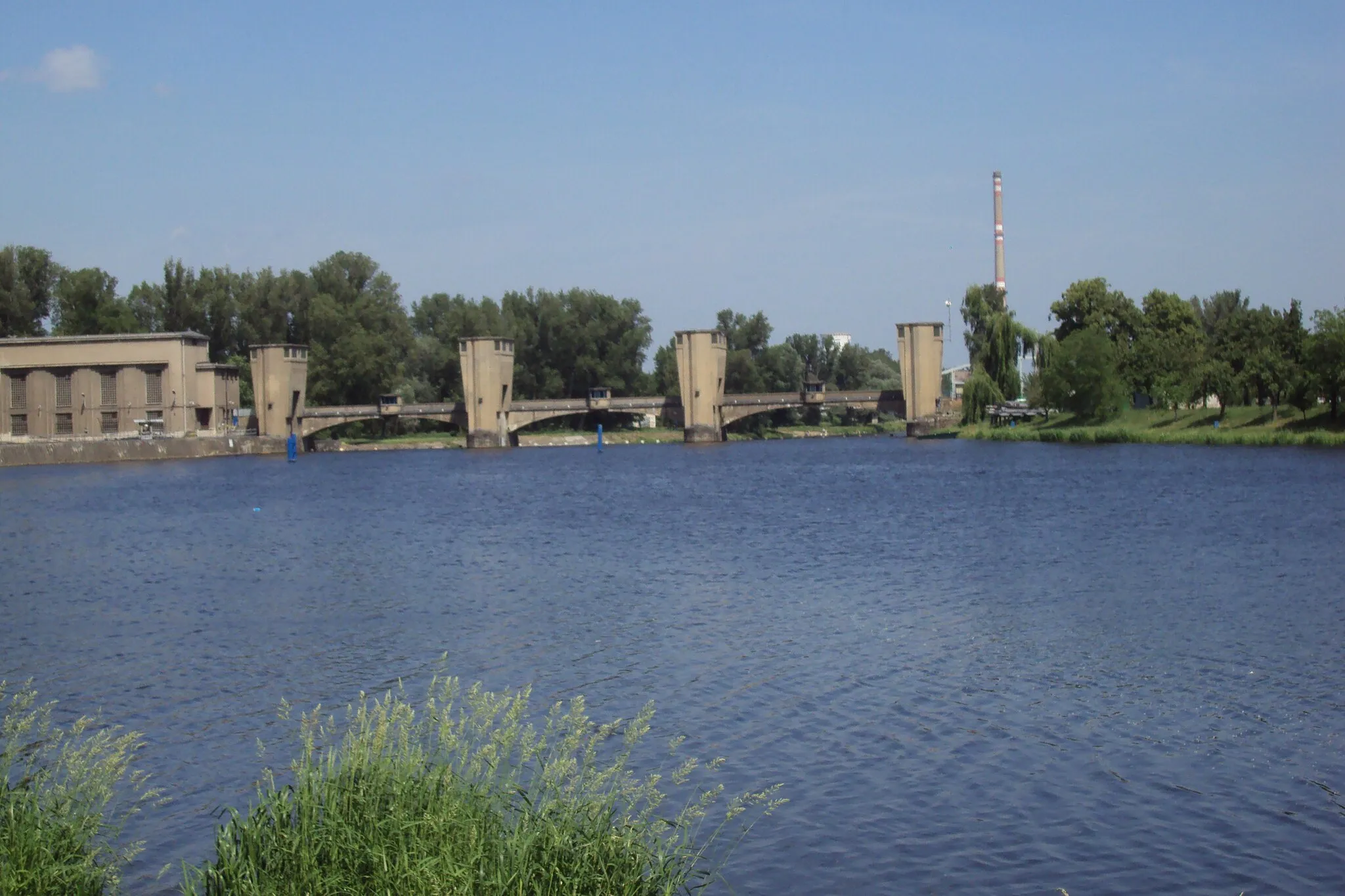
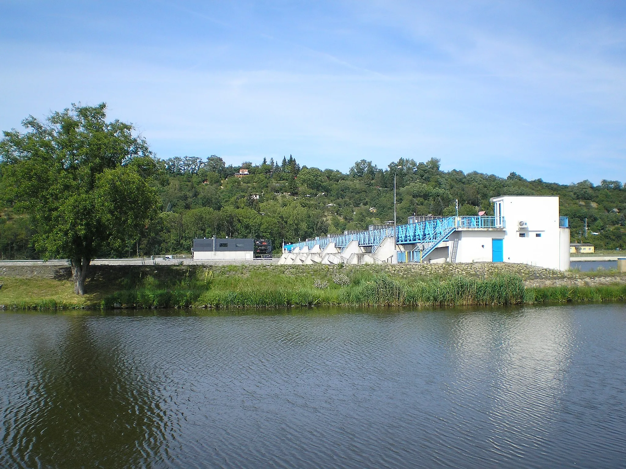
Trasa v délce 72 km vede podél řeky Labe a nabízí krásné výhledy na okolní krajinu Středních Čech. Cestou projedete malebné Libkovice pod Řípem, Velký Hubenov a Vysokou. Celkové převýšení činí 705 metrů.
Cyklotrasy v okolí:
![Obrázek Dolní Beřkovice](https://images.tarmacs.app/cycling-routes/covers/czech-republic/stredni-cechy/dolni-berkovice-4.webp)
![Obrázek Libiš](https://images.tarmacs.app/cycling-routes/covers/czech-republic/stredni-cechy/libis-4.webp)
![Obrázek Neratovice](https://images.tarmacs.app/cycling-routes/covers/czech-republic/stredni-cechy/neratovice-1.webp)
![Obrázek Všetaty](https://images.tarmacs.app/cycling-routes/covers/czech-republic/stredni-cechy/vsetaty-3.webp)
![Obrázek Štětí](https://images.tarmacs.app/cycling-routes/covers/czech-republic/severozapad/steti-3.webp)
![Obrázek Veltrusy](https://images.tarmacs.app/cycling-routes/covers/czech-republic/stredni-cechy/veltrusy-5.webp)
![Obrázek Odolena Voda](https://images.tarmacs.app/cycling-routes/covers/czech-republic/stredni-cechy/odolena-voda-4.webp)
![Obrázek Kostelec nad Labem](https://images.tarmacs.app/cycling-routes/covers/czech-republic/stredni-cechy/kostelec-nad-labem-3.webp)
![Obrázek Kralupy nad Vltavou](https://images.tarmacs.app/cycling-routes/covers/czech-republic/stredni-cechy/kralupy-nad-vltavou-5.webp)
Okolní oblasti:
![Obrázek Niederösterreich](https://images.tarmacs.app/cycling-routes/covers/austria/niederosterreich/absdorf-1.webp)
![Obrázek Oberösterreich](https://images.tarmacs.app/cycling-routes/covers/austria/oberosterreich/walding-2.webp)
![Obrázek Praha](https://images.tarmacs.app/cycling-routes/covers/czech-republic/praha/dolni-pocernice-1.webp)
![Obrázek Jihozápad](https://images.tarmacs.app/cycling-routes/covers/czech-republic/jihozapad/strakonice-3.webp)
![Obrázek Severozápad](https://images.tarmacs.app/cycling-routes/covers/czech-republic/severozapad/klaster-3.webp)
![Obrázek Severovýchod](https://images.tarmacs.app/cycling-routes/covers/czech-republic/severovychod/prelouc-4.webp)
![Obrázek Jihovýchod](https://images.tarmacs.app/cycling-routes/covers/czech-republic/jihovychod/namest-nad-oslavou-3.webp)
![Obrázek Střední Morava](https://images.tarmacs.app/cycling-routes/covers/czech-republic/stredni-morava/stity-2.webp)
![Obrázek Moravskoslezsko](https://images.tarmacs.app/cycling-routes/covers/czech-republic/moravskoslezsko/navsi-u-jablunkova-4.webp)
![Obrázek Niederbayern](https://images.tarmacs.app/cycling-routes/covers/germany/niederbayern/kirchdorf-am-inn-4.webp)
![Obrázek Dresden](https://images.tarmacs.app/cycling-routes/covers/germany/dresden/niesky-1.webp)
![Obrázek Chemnitz](https://images.tarmacs.app/cycling-routes/covers/germany/chemnitz/eibenstock-1.webp)
![Obrázek Dolnośląskie](https://images.tarmacs.app/cycling-routes/covers/poland/dolnoslaskie/walim-1.webp)