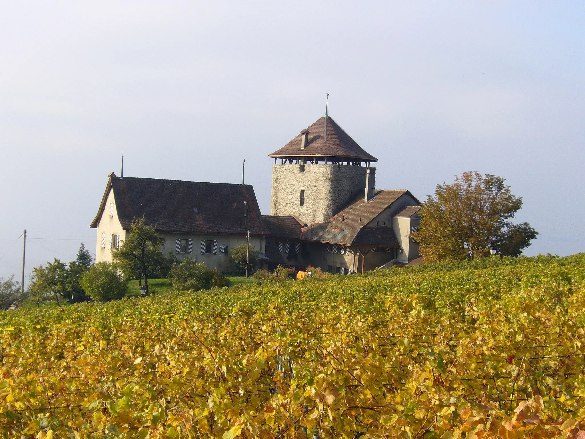
Vstupní brána do hor pro horská kola a gravel bike.
Cyklistické trasy kolem Castellane
Castellane je ideálním výchozím bodem pro horské kolo a gravel bike do nedalekých hor. Okolní kopce nabízejí výzvy jak pro zkušené cyklisty, tak pro začátečníky.
Cycle through stunning landscapes and challenging terrain
Explore the charming village of Annot, conquer the majestic Pic de Chamatte, and enjoy breathtaking views at the Col de Roua. The route takes you through picturesque villages and rugged terrain, offering a true adventure for gravel enthusiasts.
Divoká příroda a skalní útvary kolem soutěsky Verdon
Trasa vede cyklisty skrze fascinující úseky Provence, většinou mimo turistické zóny. Překonání 2022 metrů převýšení vyžaduje sílu a odvahu, ale odměnou jsou úchvatné výhledy na okolní krajinu a horské lesy.
Iconic mountain passes and challenging terrain
This road cycling route offers a mix of iconic mountain passes and picturesque villages, providing a challenging yet rewarding experience for cyclists who are looking to push their limits. With a total ascent of 2973 meters, this journey showcases the beauty of the Provensálské Alpy and offers stunning views of the surrounding landscapes.
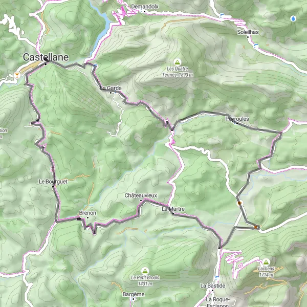
Cycle through picturesque Provençal villages and stunning landscapes
Ride through charming villages like Peyroules and Aven, and conquer the challenging ascent to the Col de Clavel. Discover the unique beauty of the region and immerse yourself in the traditional Provençal culture along the way.
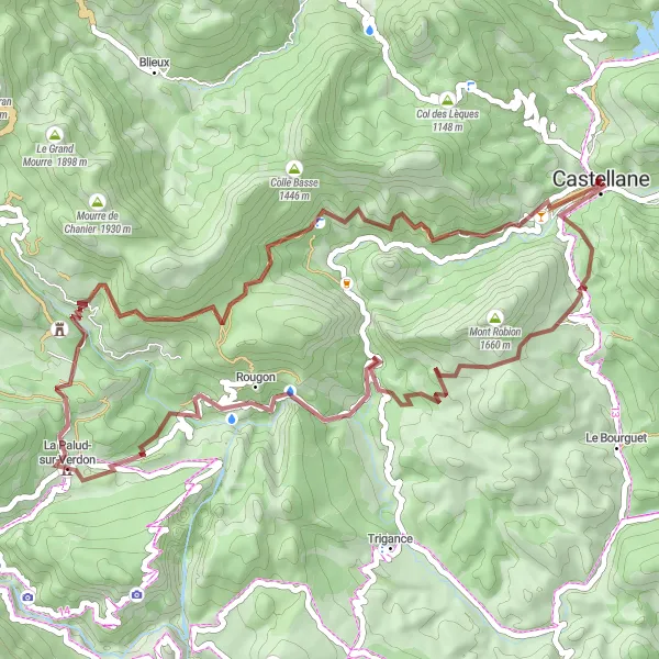
Expedice k Majastres
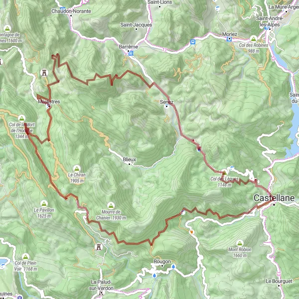
Zážitková gravelová cesta s náročnými stoupáními
Trasa je vhodná pro dobrodružnější cyklisty toužící po odlehlých trasách a prozkoumání skrytých pokladů alpských oblastí. S převýšením 2571 metrů tento výlet nabízí pohledy na malebné vesnice a skalnaté vrcholy, které si určitě zamilujete.
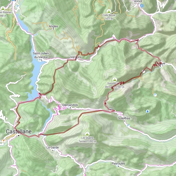
Embark on a thrilling gravel adventure through rugged terrain and scenic landscapes
Ride to the challenging Col de Cheiron and conquer the ascent to the stunning Sommet de la Bernarde. Enjoy the peace and tranquility of Ubraye and revel in the panoramic views at Le Roc. This route offers a true off-road adventure for gravel enthusiasts.
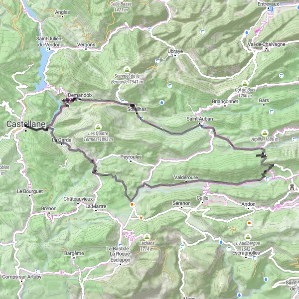
Discover charming villages and stunning landscapes on this scenic road trip
Cycle through picturesque villages such as Soleilhas and Demandolx, and conquer the challenging ascent to Valderoure. Explore the scenic beauty of the region and immerse yourself in the Provençal culture along the way.
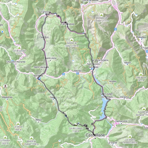
Embark on a picturesque road journey through charming villages and stunning landscapes
Ride through picturesque villages such as Barrême and Saint-André-les-Alpes, and conquer the ascent to Tartonne. Enjoy the tranquility of Lake Castillon and immerse yourself in the beauty of the region along the way.
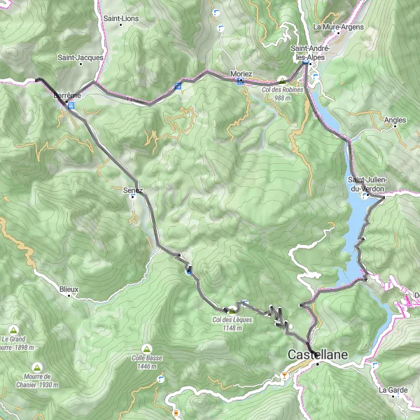
Nádherné horské panoráma a malebná vesnice
Trasa nabízí pestrou směsici významných místopisů, včetně malebného jezera Lac de Castillon a historické vesnice Barrême. S překonáním 1158 metrů převýšení je to výzva pro zdatné cyklisty, kteří chtějí objevovat krásy Provensálských Alp.
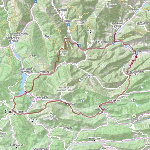
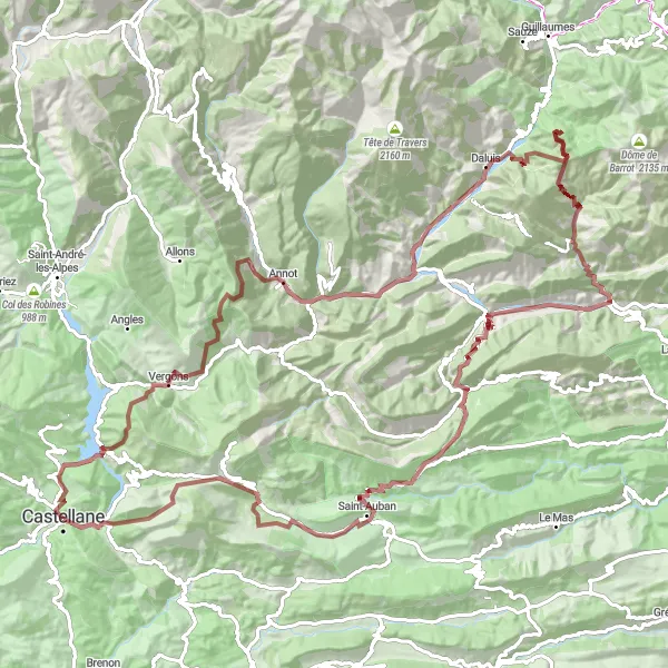
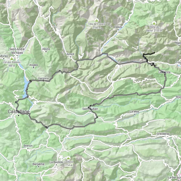
Přírodní divočina a historické památky ve stínu Alp
Tato gravelová trasa vás zavede k malebným vesnicím a úchvatným skalním útvarům podél údolí Verdon. Překonání 3062 metrů převýšení vede cyklisty k romantickým růžovým skalám a historickému opevnění Entrevaux, dávajícímu dojem, že cestujete časem.
Cyklotrasy v okolí:
Okolní oblasti: