![Cover image](https://images.tarmacs.app/cycling-routes/covers/france/provence-alpes-cote-dazur/digne-les-bains-5.webp)
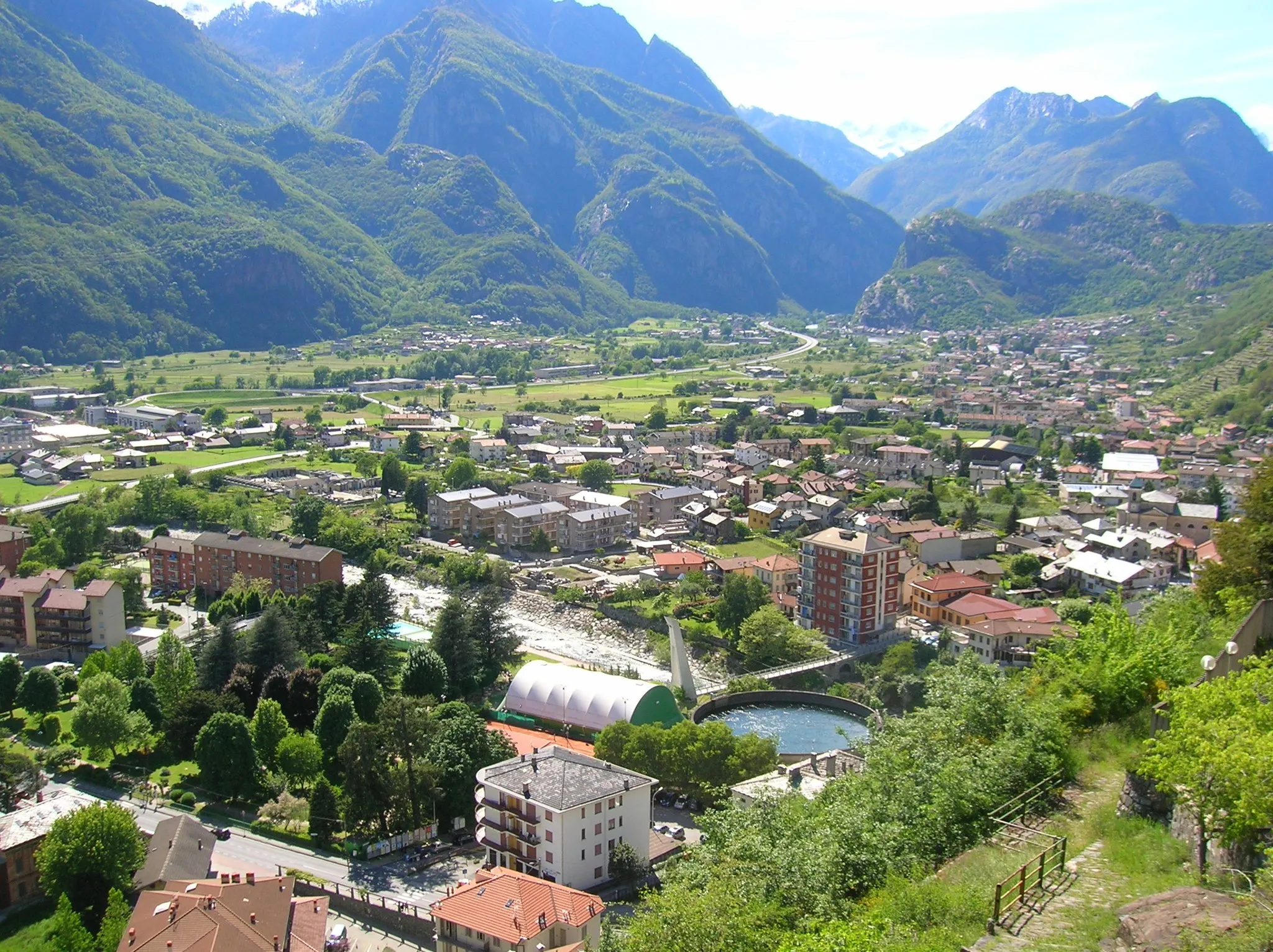
Malebná cyklistická destinace s úchvatnými výhledy.
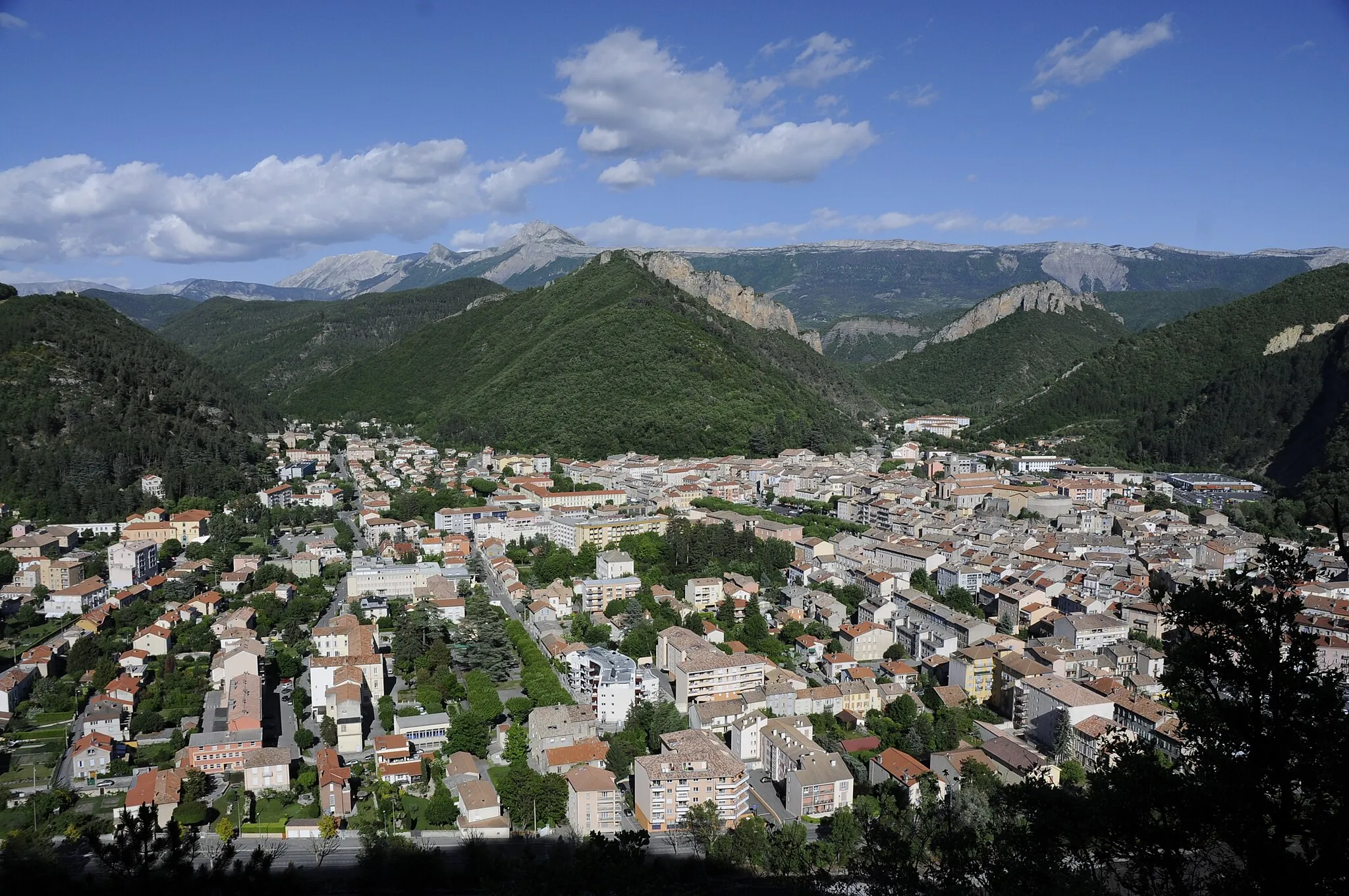
Cyklistické trasy kolem Digne-les-Bains
Digne-les-Bains nabízí krásné cyklistické trasy s úchvatnými výhledy do údolí. Oblast je známá pro svou malebnou krajinu a klidné silnice, což dělá z místa výbornou destinaci pro cyklistiku.
![Miniaturní mapa "Gravel Route: Rocher de Neuf Heures to Dalle aux Ammonites" inspirace pro cyklisty v oblasti Provence-Alpes-Côte d’Azur, France. Vytvořeno pomocí plánovače tras Tarmacs.app](https://images.tarmacs.app/cycling-routes/routemaps/600/france/provence-alpes-cote-dazur/digne-les-bains/gravel/292666.webp)
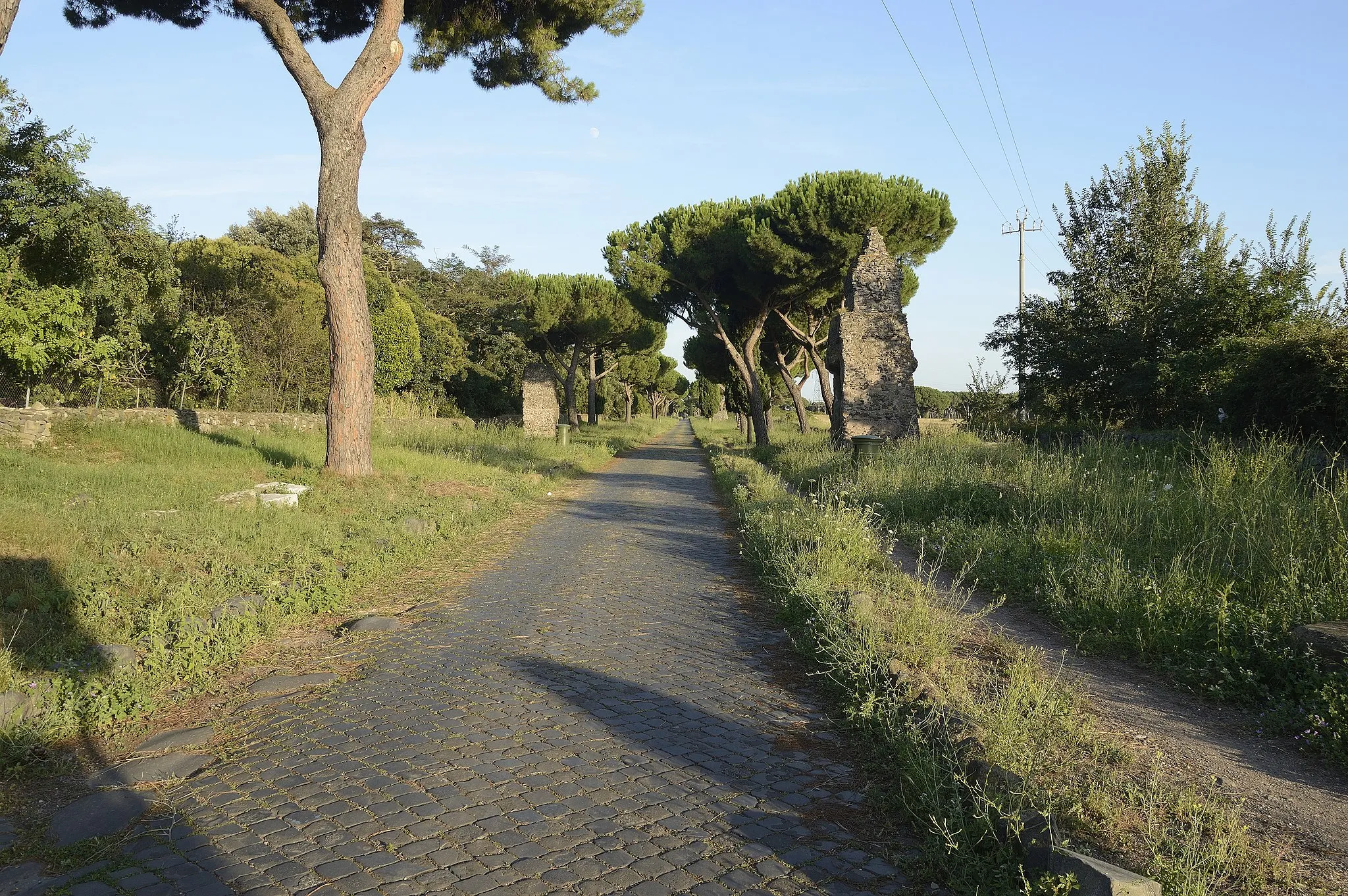
A thrilling 77 km gravel route with breathtaking landscapes
Embark on a 77 km gravel route from Rocher de Neuf Heures to Dalle aux Ammonites, passing through La Javie and Verdaches. Challenge yourself with the ascent to Col de la Pinée and enjoy the scenic beauty of Clue de Barles. Marvel at the panoramic views from Panorama Velodrome Esclangon before reaching Dalle aux Ammonites.
![Miniaturní mapa "Gravel Route kolem Digne-les-Bains" inspirace pro cyklisty v oblasti Provence-Alpes-Côte d’Azur, France. Vytvořeno pomocí plánovače tras Tarmacs.app](https://images.tarmacs.app/cycling-routes/routemaps/600/france/provence-alpes-cote-dazur/digne-les-bains/gravel/292639.webp)
Prozkoumejte Malebné Lambruisse na své trase.
Tato malebná trasa vám umožní objevovat skryté poklady okolí Digne-les-Bains na kole. Projedete přes úchvatný Lambruisse a Col de Séoune, abyste závěrečné zastavili u Seoune Basse. Z cesty si odnesete úžasné dojmy z tohoto krásného historického regionu.
![Miniaturní mapa "Road Route: Aiglun to Chapelle Notre-Dame de Lourdes" inspirace pro cyklisty v oblasti Provence-Alpes-Côte d’Azur, France. Vytvořeno pomocí plánovače tras Tarmacs.app](https://images.tarmacs.app/cycling-routes/routemaps/600/france/provence-alpes-cote-dazur/digne-les-bains/road/292673.webp)
A challenging 138 km road route with stunning viewpoints
Embark on a 138 km road route from Aiglun to Chapelle Notre-Dame de Lourdes, passing through Volonne and Entrepierres. Enjoy the scenic beauty of Montagne de la Baume and Vaumeilh, before reaching Nibles and Authon. Challenge yourself with the ascent to Col de Fontbelle and enjoy the panoramic views from Table d'Orientation before arriving at Chapelle Notre-Dame de Lourdes.
![Miniaturní mapa "Trasa kolem Digne-les-Bains" inspirace pro cyklisty v oblasti Provence-Alpes-Côte d’Azur, France. Vytvořeno pomocí plánovače tras Tarmacs.app](https://images.tarmacs.app/cycling-routes/routemaps/600/france/provence-alpes-cote-dazur/digne-les-bains/road/292636.webp)
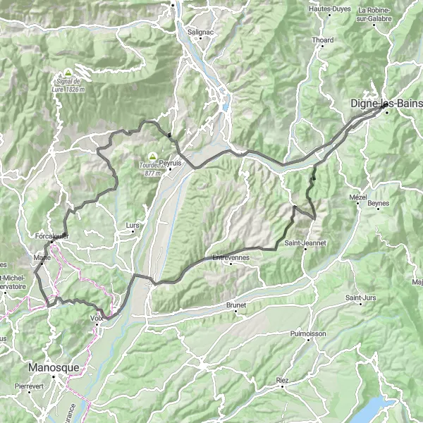
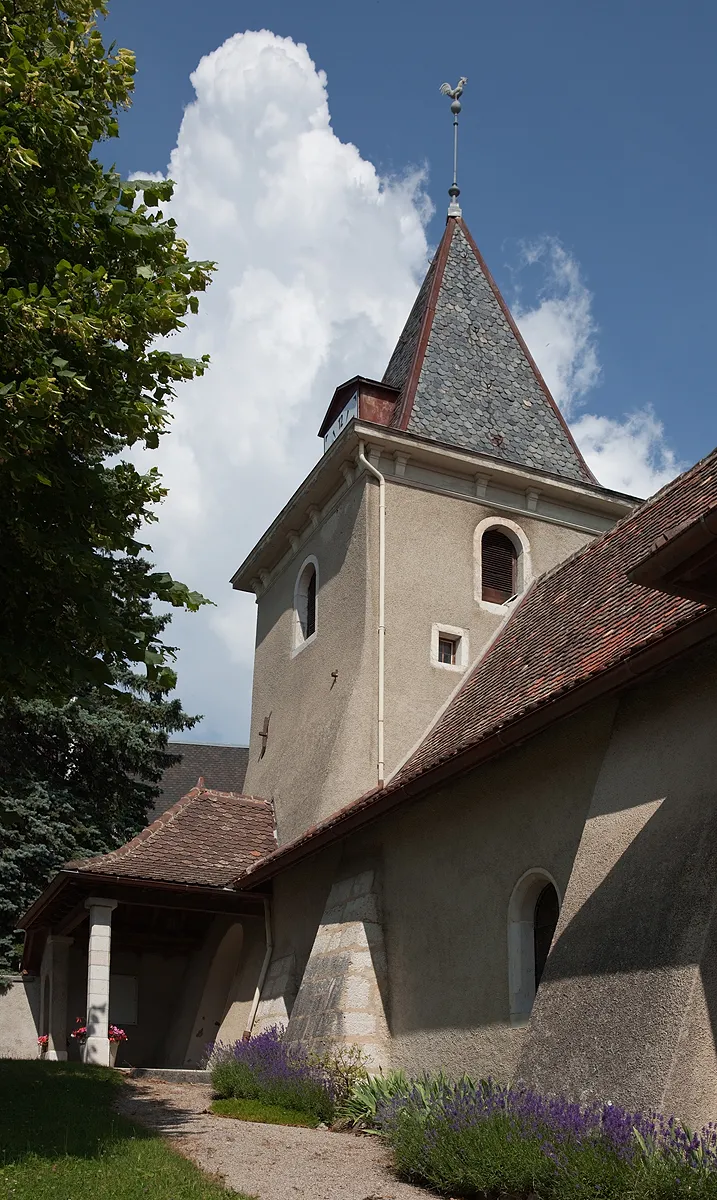
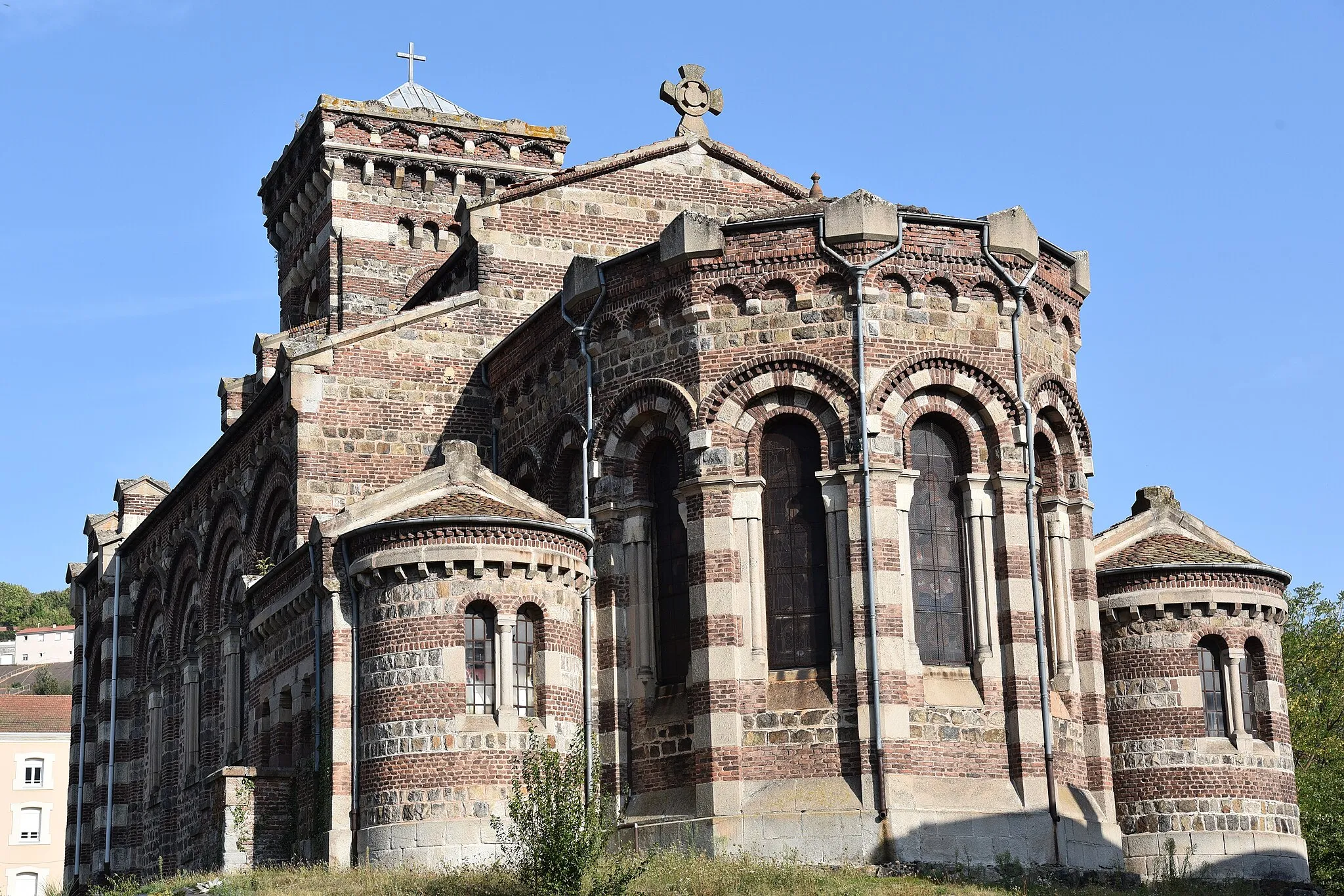
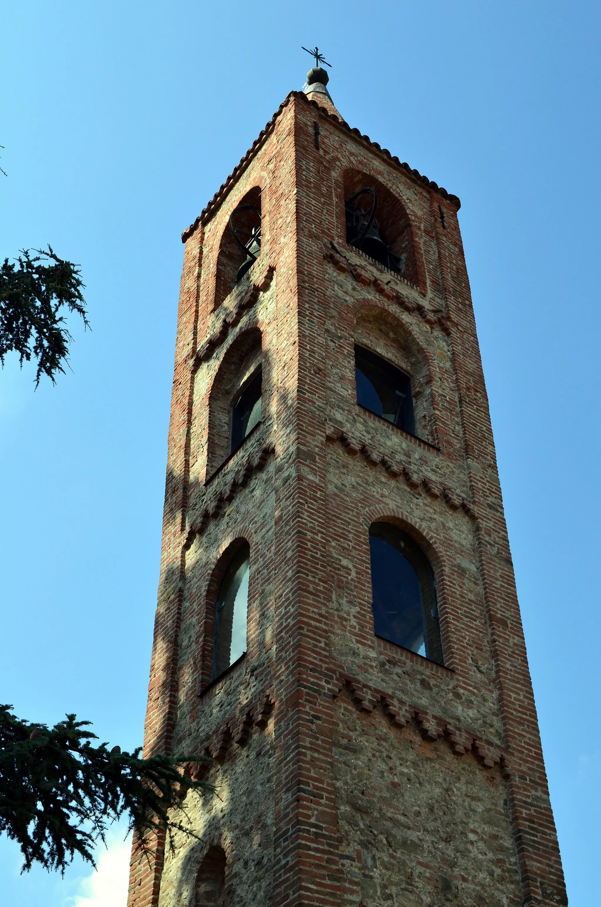
Podívejte se na impozantní hrad Carrière le roche amère.
Tato cesta nabízí malebný výhled na starobylou pevnost a historické město Forcalquier. Projedete také kolem starobylých vesnic Entrevennes, Oraison a Bondon, abyste nakonec zakončili trasu u nádraží Digne - Gare Routière.
![Miniaturní mapa "Trasa Gravel Adventure kolem Digne-les-Bains" inspirace pro cyklisty v oblasti Provence-Alpes-Côte d’Azur, France. Vytvořeno pomocí plánovače tras Tarmacs.app](https://images.tarmacs.app/cycling-routes/routemaps/600/france/provence-alpes-cote-dazur/digne-les-bains/gravel/292649.webp)
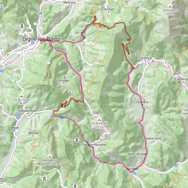
Vyzkoušejte náročnou trasu kolem Majastres.
Tato trasa nabízí dobrodružství a izašení do divočiny okolí. Projedete malebnými vesničkami Barrême a Blieux a navštívíte klášter Saint-Pancrace na své cestě kolem Digne-les-Bains. Trasu ukončíte u nádraží Digne - Gare Routière.
![Miniaturní mapa "Gravel Route: Chapelle Saint-Vincent to Digne − Gare Routière" inspirace pro cyklisty v oblasti Provence-Alpes-Côte d’Azur, France. Vytvořeno pomocí plánovače tras Tarmacs.app](https://images.tarmacs.app/cycling-routes/routemaps/600/france/provence-alpes-cote-dazur/digne-les-bains/gravel/292652.webp)
Explore the picturesque gravel route with stunning views
Embark on a challenging 76 km gravel route from Chapelle Saint-Vincent to Digne − Gare Routière, passing through Rocher de Neuf Heures and reaching the summit of Sommet de Cucuyon. Enjoy the scenic beauty of Clumanc and Barrême along the way, before descending to Digne.
![Miniaturní mapa "Road Route: Col de L'Orme to Digne − Gare Routière" inspirace pro cyklisty v oblasti Provence-Alpes-Côte d’Azur, France. Vytvořeno pomocí plánovače tras Tarmacs.app](https://images.tarmacs.app/cycling-routes/routemaps/600/france/provence-alpes-cote-dazur/digne-les-bains/road/292637.webp)
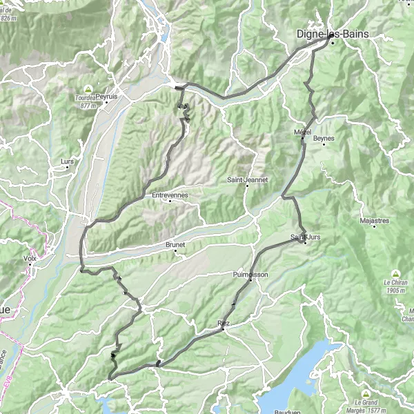
An exhilarating 131 km road route with diverse landscapes
Embark on a 131 km road route from Col de L'Orme to Digne − Gare Routière, passing through Mézel and Puimoisson. Cycle by the picturesque village of Saint-Martin-de-Brômes and enjoy the scenic beauty of Valensole and Oraison. Challenge yourself with the ascent to Col de Puimichel before arriving back in Digne at the Gare Routière.
![Miniaturní mapa "Road Journey kolem Digne-les-Bains" inspirace pro cyklisty v oblasti Provence-Alpes-Côte d’Azur, France. Vytvořeno pomocí plánovače tras Tarmacs.app](https://images.tarmacs.app/cycling-routes/routemaps/600/france/provence-alpes-cote-dazur/digne-les-bains/road/292660.webp)
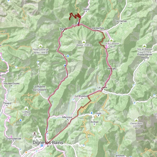
Zažijte adrenalinový zážitek v Clue de Barles.
Tato trasu vám umožní objevovat nekonečnou krásu kopců a hor okolí Digne-les-Bains. Projedete mnohými horskými průsmyky, jako je Col de Peipin a Col du Fanget, až dorazíte ke klášteru Auzet na konci vaší jízdy. Dále vám nabídne dramatický výhled ze Selonnet a mnoho dalšího.
![Miniaturní mapa "Road Tour kolem Digne-les-Bains" inspirace pro cyklisty v oblasti Provence-Alpes-Côte d’Azur, France. Vytvořeno pomocí plánovače tras Tarmacs.app](https://images.tarmacs.app/cycling-routes/routemaps/600/france/provence-alpes-cote-dazur/digne-les-bains/road/292642.webp)
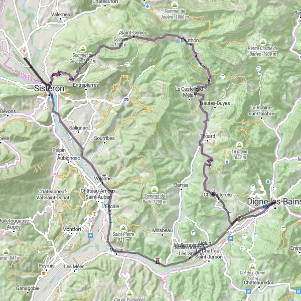
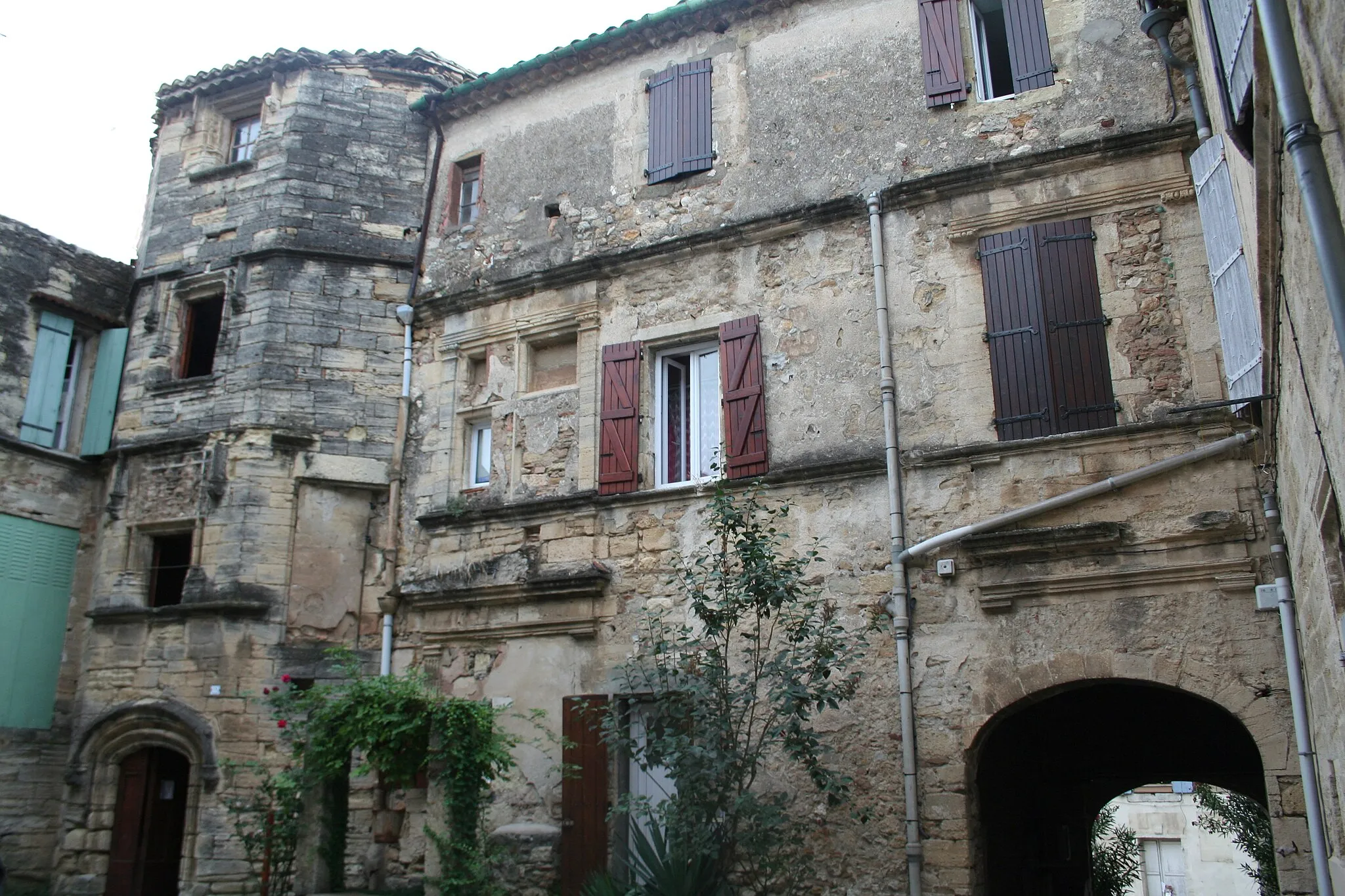
Jízda k Hradu Malijai.
Tento okruh vám umožní objevovat malebné vesničky a historické památky kolem Digne-les-Bains. Poznejte úchvatný hrad Aiglun a zastavte se u Volonne, abychste nalezli absolutní čas. Projetede kolem krásných měst Saint-Geniez a Col de Fontbelle, a nakonec spočinuly u kaple Notre-Dame de Louderes.
![Miniaturní mapa "Gravel Route: Le Chaffaut-Saint-Jurson to Chapelle Notre-Dame de Lourdes" inspirace pro cyklisty v oblasti Provence-Alpes-Côte d’Azur, France. Vytvořeno pomocí plánovače tras Tarmacs.app](https://images.tarmacs.app/cycling-routes/routemaps/600/france/provence-alpes-cote-dazur/digne-les-bains/gravel/292645.webp)
Explore the scenic 55 km gravel route with cultural highlights
Embark on a 55 km gravel route from Le Chaffaut-Saint-Jurson to Chapelle Notre-Dame de Lourdes, passing through Bras-d'Asse. Discover the cultural significance of Chapelle Notre-Dame de Lourdes as you cycle through picturesque landscapes and enjoy the peaceful ambiance of the route.
Cyklotrasy v okolí:
Okolní oblasti:
![Obrázek Région lémanique](https://images.tarmacs.app/cycling-routes/covers/switzerland/region-lemanique/arzier-3.webp)
![Obrázek Aragón](https://images.tarmacs.app/cycling-routes/covers/spain/aragon/montecanal-1.webp)
![Obrázek Katalánsko](https://images.tarmacs.app/cycling-routes/covers/spain/cataluna/salt-1.webp)
![Obrázek Languedoc-Roussillon](https://images.tarmacs.app/cycling-routes/covers/france/languedoc-roussillon/roujan-3.webp)
![Obrázek Midi-Pyrénées](https://images.tarmacs.app/cycling-routes/covers/france/midi-pyrenees/figeac-3.webp)
![Obrázek Auvergne](https://images.tarmacs.app/cycling-routes/covers/france/auvergne/pont-salomon-3.webp)
![Obrázek Rhône-Alpes](https://images.tarmacs.app/cycling-routes/covers/france/rhone-alpes/belley-4.webp)
![Obrázek Piemonte](https://images.tarmacs.app/cycling-routes/covers/italy/piemonte/volvera-3.webp)
![Obrázek Valle d’Aosta/Vallée d’Aoste](https://images.tarmacs.app/cycling-routes/covers/italy/valle-daosta-vallee-daoste/pont-saint-martin-4.webp)
![Obrázek Liguria](https://images.tarmacs.app/cycling-routes/covers/italy/liguria/millesimo-3.webp)
![Obrázek Lombardia](https://images.tarmacs.app/cycling-routes/covers/italy/lombardia/parabiago-5.webp)