![Cover image](https://images.tarmacs.app/cycling-routes/covers/france/rhone-alpes/la-tour-de-salvagny-4.webp)
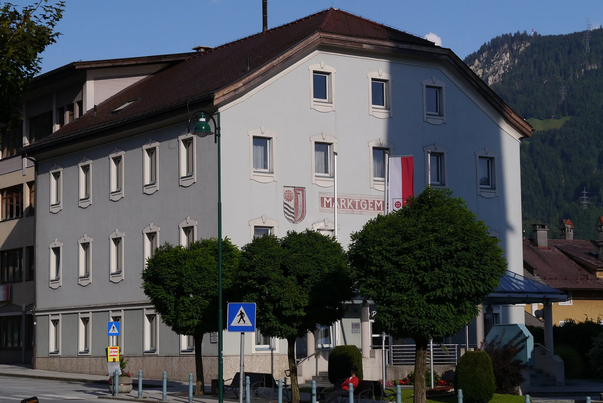
Cyclist-friendly area with challenging climbs and scenic routes.
Cyklistické trasy kolem La Tour-de-Salvagny
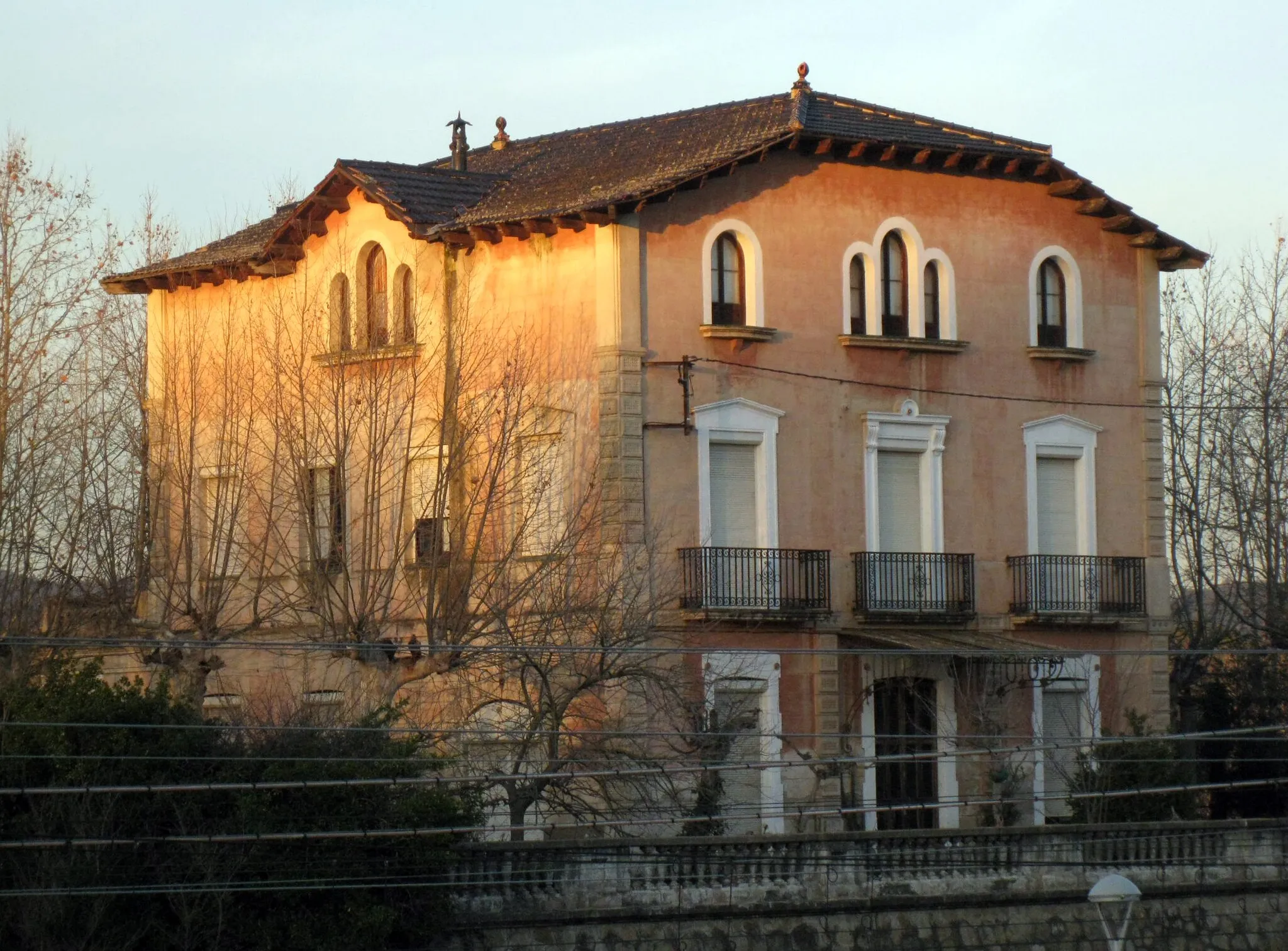
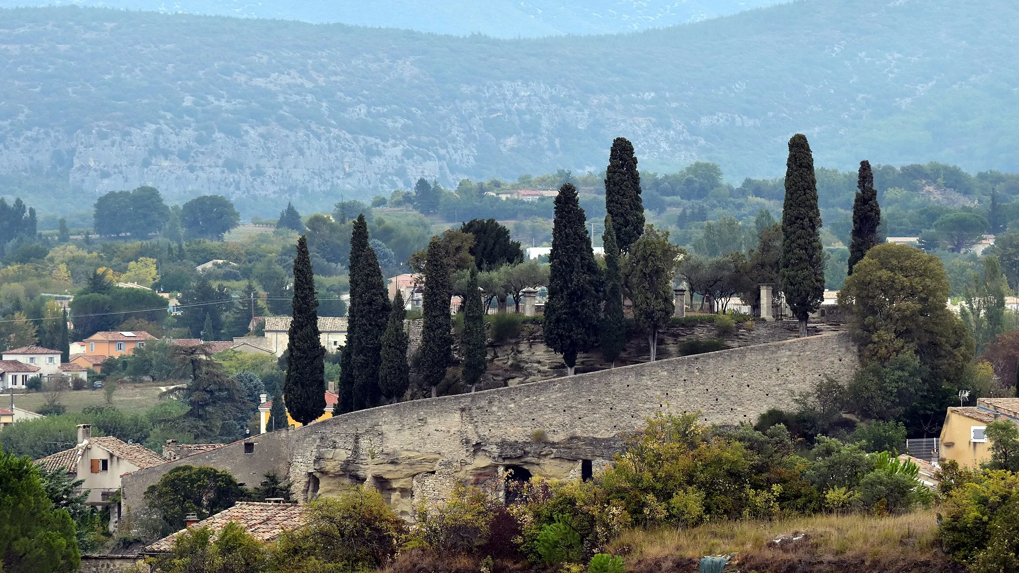
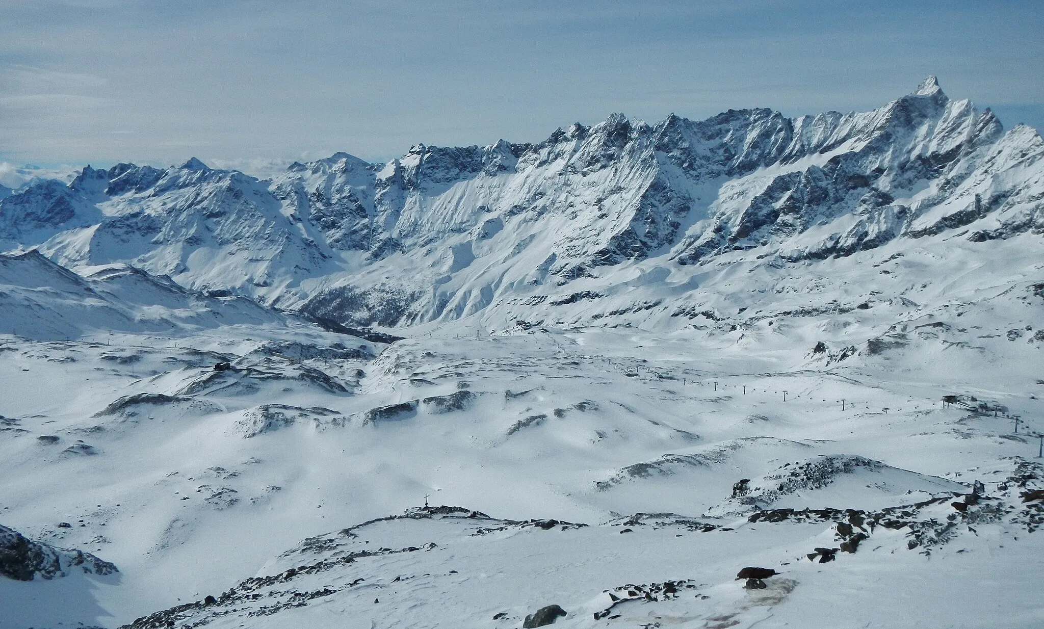
La Tour-de-Salvagny is a cyclist-friendly locality in the Rhône-Alpes region, with well-maintained roads and scenic routes for road and gravel cyclists. The area offers challenging climbs and descents, along with stunning views of the surrounding mountains and valleys. Cyclists can explore the nearby Monts du Lyonnais range and tackle legendary climbs such as Col de la Luère, known for its steep gradients and demanding ascent.
![Miniaturní mapa "Gravelový okruh s výhledy kolem La Tour-de-Salvagny" inspirace pro cyklisty v oblasti Rhône-Alpes, France. Vytvořeno pomocí plánovače tras Tarmacs.app](https://images.tarmacs.app/cycling-routes/routemaps/600/france/rhone-alpes/la-tour-de-salvagny/gravel/45943.webp)
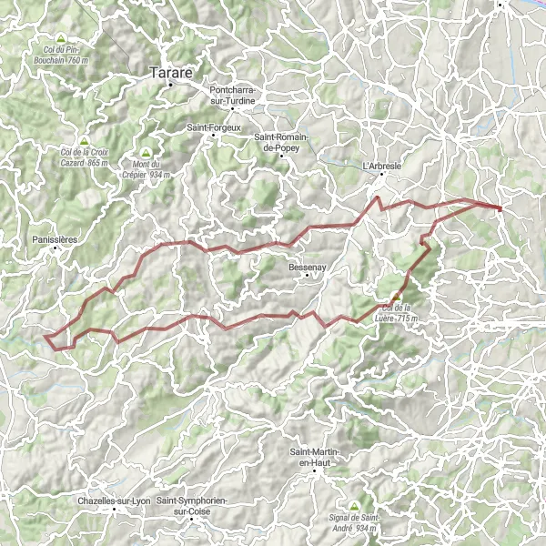
Panoramatická jízda s náročnými stoupáními
Tento 58 km dlouhý gravelový okruh nabízí výzvy pro zkušené cyklisty s krásnými výhledy do okolí. Trasa vede kolem vrcholu Col de la Luère, obce Courzieu a historického města Brullioles. Doporučeno pro ty, kteří hledají náročnou jízdu v krásné krajině.
![Miniaturní mapa "Gravel Route Through Azergues Valley" inspirace pro cyklisty v oblasti Rhône-Alpes, France. Vytvořeno pomocí plánovače tras Tarmacs.app](https://images.tarmacs.app/cycling-routes/routemaps/600/france/rhone-alpes/la-tour-de-salvagny/gravel/45937.webp)
Explore the picturesque Azergues Valley on this scenic gravel route.
Cycle through charming villages like Belmont-d'Azergues and Alix, passing by Les Carrières for a unique view. The route offers a mix of challenging climbs and rewarding descents, with stunning natural landscapes along the way.
![Miniaturní mapa "Road Cycling to Charbonnières-les-Bains" inspirace pro cyklisty v oblasti Rhône-Alpes, France. Vytvořeno pomocí plánovače tras Tarmacs.app](https://images.tarmacs.app/cycling-routes/routemaps/600/france/rhone-alpes/la-tour-de-salvagny/road/45972.webp)
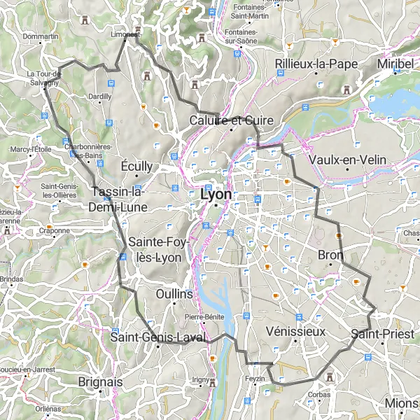
Embark on a road cycling adventure with 1153 meters of ascent and 105 kilometers in distance.
This challenging route includes stops at Limonest, Mont Thou, Miribel, La Jetée, Saint-Laurent-de-Mure, Chaponnay, Saint-Genis-Laval, and Charbonnières-les-Bains. Enjoy the diverse landscapes and rewarding climbs throughout the journey.
![Miniaturní mapa "Gravel Adventure to Château de Lacroix-Laval" inspirace pro cyklisty v oblasti Rhône-Alpes, France. Vytvořeno pomocí plánovače tras Tarmacs.app](https://images.tarmacs.app/cycling-routes/routemaps/600/france/rhone-alpes/la-tour-de-salvagny/gravel/45956.webp)
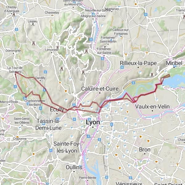
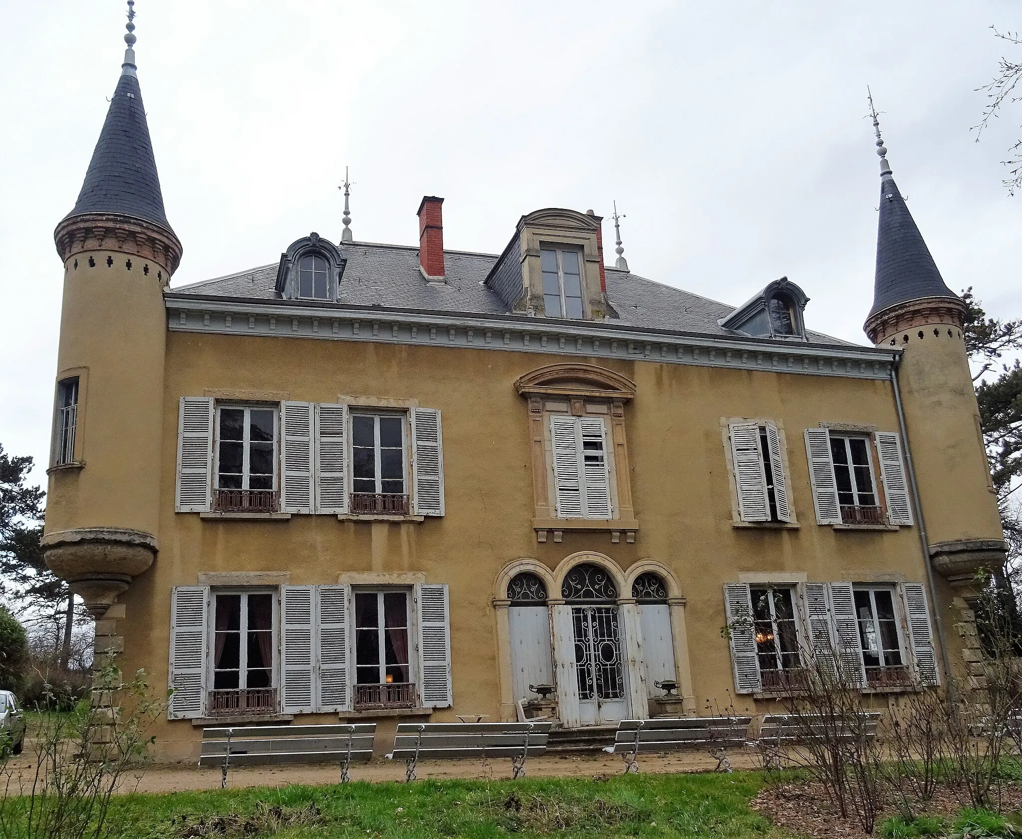
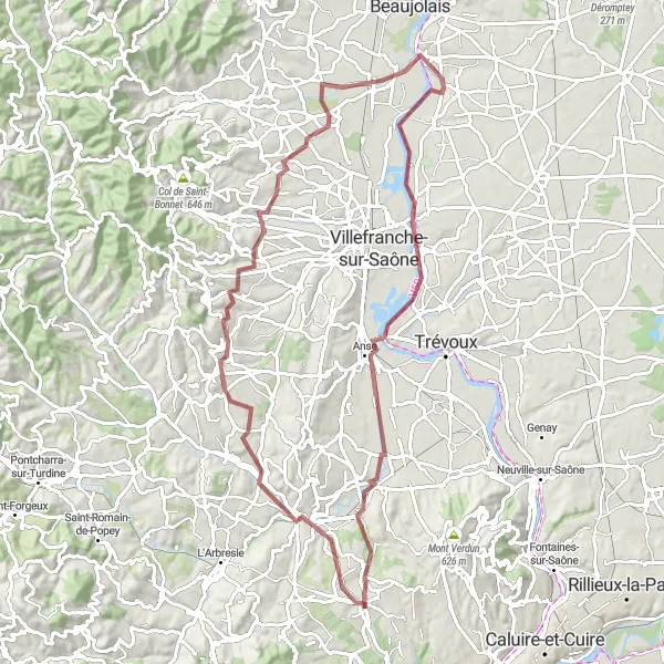
Embark on a gravel cycling adventure to the stunning Château de Lacroix-Laval.
Cycle through Dardilly and Neyron, enjoying the scenic views along the way. Stop at the Belvédère de Cuire for a panoramic view of Lyon, and explore the historic village of Écully. The route offers a mix of challenging climbs and fast descents, making it perfect for gravel cycling enthusiasts.
![Miniaturní mapa "Gravelový okruh okolo La Tour-de-Salvagny" inspirace pro cyklisty v oblasti Rhône-Alpes, France. Vytvořeno pomocí plánovače tras Tarmacs.app](https://images.tarmacs.app/cycling-routes/routemaps/600/france/rhone-alpes/la-tour-de-salvagny/gravel/45942.webp)
Náročná cesta pro zkušené gravelisty
Tento 82 km dlouhý gravelový okruh nabízí výzvy pro zkušené cyklisty. Trasa vede kolem malebných vesnic, jako je Belmont-d'Azergues, Les Carrières a Saint-Julien. Doporučeno pro ty, kteří hledají adrenalinovou jízdu s krásnými výhledy.
![Miniaturní mapa "Zajímavý okruh kolem La Tour-de-Salvagny" inspirace pro cyklisty v oblasti Rhône-Alpes, France. Vytvořeno pomocí plánovače tras Tarmacs.app](https://images.tarmacs.app/cycling-routes/routemaps/600/france/rhone-alpes/la-tour-de-salvagny/road/45950.webp)
Krátká, avšak zajímavá cesta pro milovníky silničního cyklistiky
Tento 25 km dlouhý silniční okruh nabízí rychlou jízdu s krásnými výhledy a historickými památkami. Projedete okolo 9. obvodu a navštívíte Tour des Deux Amants a Charbonnières-les-Bains. Kratší trasa, která však nabízí mnoho zajímavých zastávek.
![Miniaturní mapa "Okruh kolem La Tour-de-Salvagny a okolí" inspirace pro cyklisty v oblasti Rhône-Alpes, France. Vytvořeno pomocí plánovače tras Tarmacs.app](https://images.tarmacs.app/cycling-routes/routemaps/600/france/rhone-alpes/la-tour-de-salvagny/road/45999.webp)
Jízda s krásnými výhledy a malebnými vesnicemi
Tento 76 km dlouhý silniční okruh nabízí nádherné výhledy a malebná městečka. Prvním z nich je Lentilly, kde se můžete zastavit na občerstvení. Další zastávkou je Saint-Romain-de-Popey se svými historickými památkami. Nezapomeňte navštívit Dareizé a Crêt Gravet. Okruh končí v Lozanne, kde si můžete odpočinout po náročné jízdě.
Gravel Route to Limonest
![Miniaturní mapa "Gravel Route to Limonest" inspirace pro cyklisty v oblasti Rhône-Alpes, France. Vytvořeno pomocí plánovače tras Tarmacs.app](https://images.tarmacs.app/cycling-routes/routemaps/600/france/rhone-alpes/la-tour-de-salvagny/gravel/45957.webp)
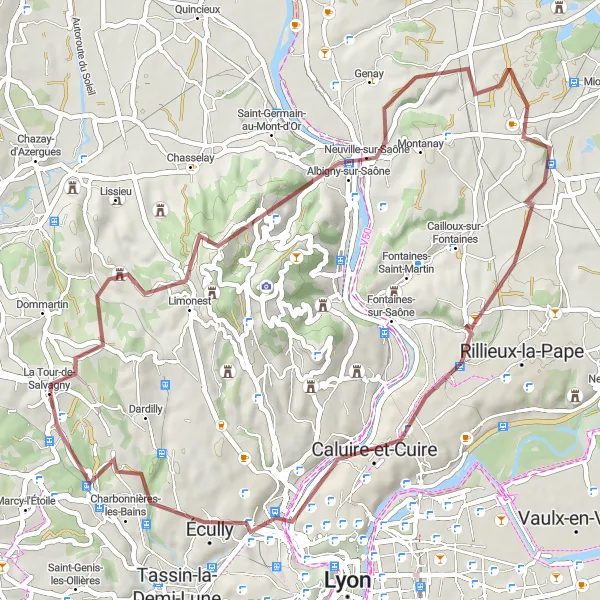
Explore the scenic gravel route with 876 meters of ascent and 55 kilometers in distance.
This picturesque route takes you through Limonest, Mont Verdun, Albigny-sur-Saône, Sathonay-Village, Belvédère de Bourg, Écully, and Château de Lacroix-Laval. Enjoy the challenging terrain and beautiful views along the way.
![Miniaturní mapa "Gravel Adventure to Montrottier" inspirace pro cyklisty v oblasti Rhône-Alpes, France. Vytvořeno pomocí plánovače tras Tarmacs.app](https://images.tarmacs.app/cycling-routes/routemaps/600/france/rhone-alpes/la-tour-de-salvagny/gravel/103136.webp)
Embark on a gravel adventure with 1930 meters of ascent and 81 kilometers in distance.
This challenging route includes stops at Marmottes, Brussieu, Saint-Clément-les-Places, Montrottier, and Lentilly. Explore the rugged terrain and natural beauty as you cycle through picturesque landscapes.
![Miniaturní mapa "Road Cycling Loop to Charbonnières-les-Bains" inspirace pro cyklisty v oblasti Rhône-Alpes, France. Vytvořeno pomocí plánovače tras Tarmacs.app](https://images.tarmacs.app/cycling-routes/routemaps/600/france/rhone-alpes/la-tour-de-salvagny/road/45939.webp)
Embark on a challenging road cycling loop to the spa town of Charbonnières-les-Bains.
Start your journey in La Tour-de-Salvagny and ride through Mont Narcel and Caluire-et-Cuire for stunning views of the surrounding landscapes. Enjoy a scenic climb to Belvédère de Bourg and explore the historic town of Bron. The route offers a mix of climbs and descents, with stops in Saint-Fons and Saint-Genis-Laval for a cultural experience.
Cyklotrasy v okolí:
Okolní oblasti:
![Obrázek Tirol](https://images.tarmacs.app/cycling-routes/covers/austria/tirol/jenbach-3.webp)
![Obrázek Vorarlberg](https://images.tarmacs.app/cycling-routes/covers/austria/vorarlberg/tschagguns-1.webp)
![Obrázek Région lémanique](https://images.tarmacs.app/cycling-routes/covers/switzerland/region-lemanique/onex-1.webp)
![Obrázek Espace Mittelland](https://images.tarmacs.app/cycling-routes/covers/switzerland/espace-mittelland/rueggisberg-2.webp)
![Obrázek Katalánsko](https://images.tarmacs.app/cycling-routes/covers/spain/cataluna/hostalric-1.webp)
![Obrázek Bourgogne](https://images.tarmacs.app/cycling-routes/covers/france/bourgogne/auxonne-4.webp)
![Obrázek Franche-Comté](https://images.tarmacs.app/cycling-routes/covers/france/franche-comte/giromagny-5.webp)
![Obrázek Languedoc-Roussillon](https://images.tarmacs.app/cycling-routes/covers/france/languedoc-roussillon/beauvoisin-1.webp)
![Obrázek Auvergne](https://images.tarmacs.app/cycling-routes/covers/france/auvergne/saint-maurice-de-lignon-4.webp)
![Obrázek Provence-Alpes-Côte d’Azur](https://images.tarmacs.app/cycling-routes/covers/france/provence-alpes-cote-dazur/malaucene-4.webp)
![Obrázek Piemonte](https://images.tarmacs.app/cycling-routes/covers/italy/piemonte/rivoli-5.webp)
![Obrázek Valle d’Aosta/Vallée d’Aoste](https://images.tarmacs.app/cycling-routes/covers/italy/valle-daosta-vallee-daoste/valtournenche-2.webp)