![Cover image](https://images.tarmacs.app/cycling-routes/covers/france/rhone-alpes/saint-chamond-5.webp)
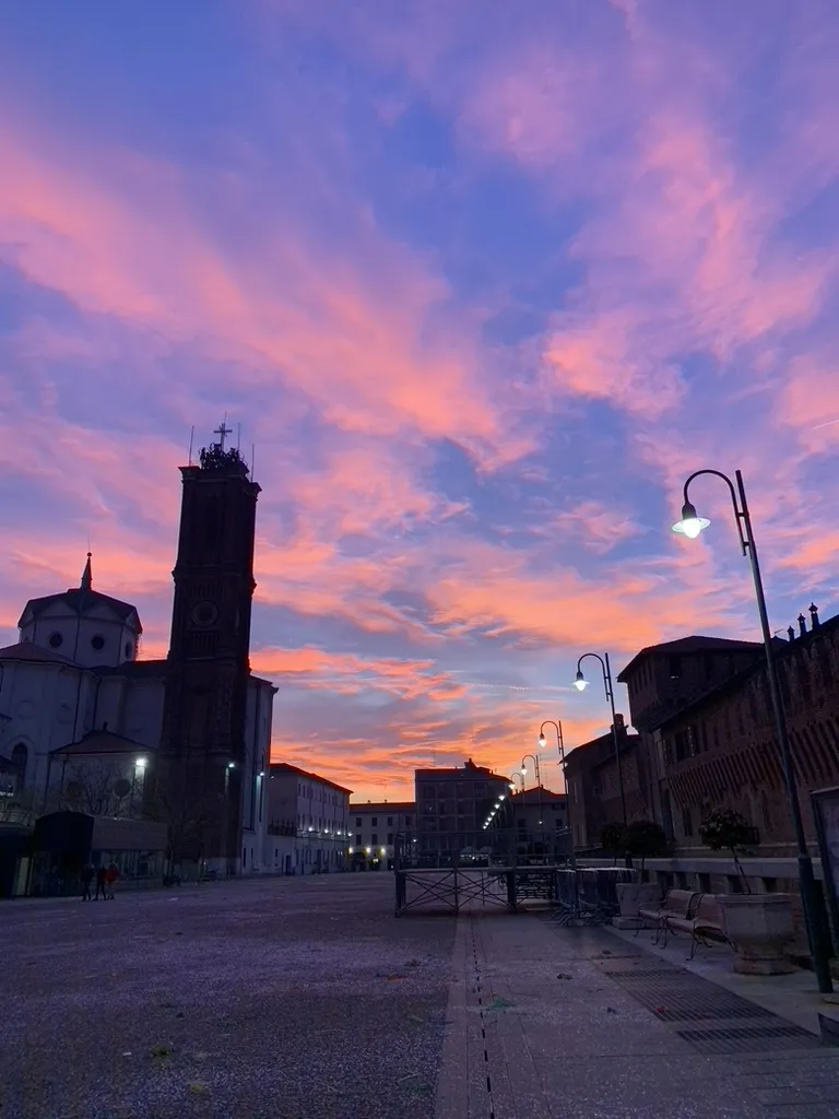
Cyklistický ráj v Saint-Chamond
Cyklistické trasy kolem Saint-Chamond
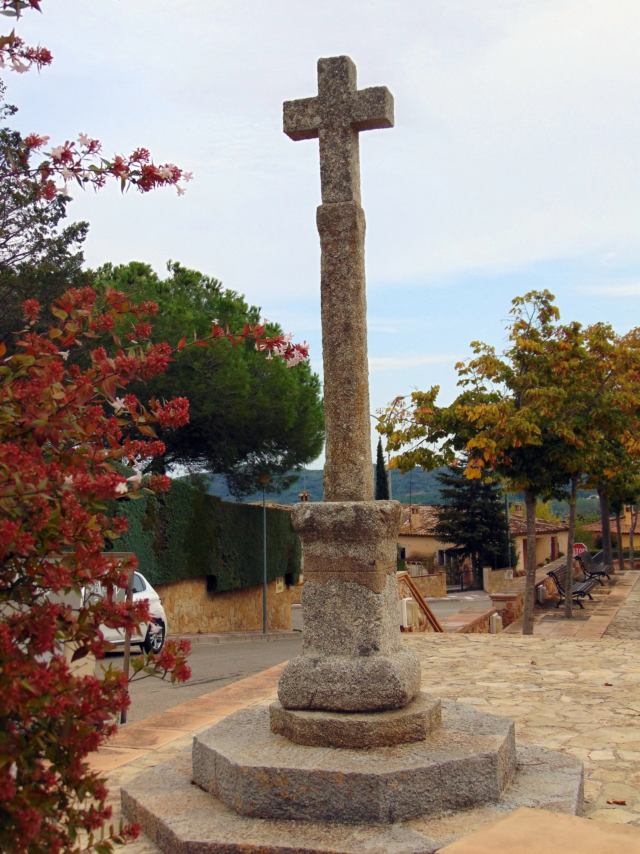
Saint-Chamond je malebné město obklopené zelení s krásnými trasami vhodnými pro road biking i gravelová kola. V okolí lze najít několik náročných stoupání pro zkušené cyklisty.
![Miniaturní mapa "Cycling Tour through Rhône-Alpes Villages" inspirace pro cyklisty v oblasti Rhône-Alpes, France. Vytvořeno pomocí plánovače tras Tarmacs.app](https://images.tarmacs.app/cycling-routes/routemaps/600/france/rhone-alpes/saint-chamond/road/212319.webp)
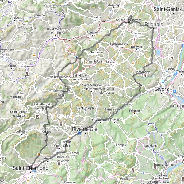
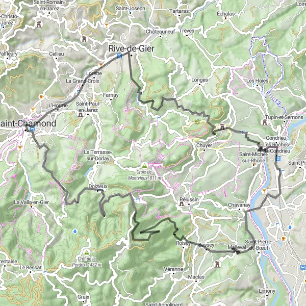
Explore charming villages and scenic countryside on this cycling tour
Immerse yourself in the beauty of the Rhône-Alpes region on this scenic cycling tour, with highlights including Cellieu and Chassagny. With a total ascent of 1476 meters over 85 kilometers, this route is ideal for cyclists looking to experience the rich history and culture of the area.
![Miniaturní mapa "Scenic Gravel Ride to Crêt de l'Œillon" inspirace pro cyklisty v oblasti Rhône-Alpes, France. Vytvořeno pomocí plánovače tras Tarmacs.app](https://images.tarmacs.app/cycling-routes/routemaps/600/france/rhone-alpes/saint-chamond/gravel/212331.webp)
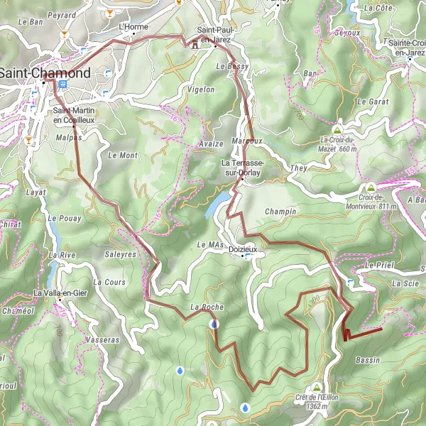
Experience the beauty of Crêt de l'Œillon on this gravel adventure
Embark on a 44 km gravel journey filled with stunning views and charming villages. The highlight of this route is reaching the majestic Crêt de l'Œillon, where you can admire the natural beauty of the surroundings.
![Miniaturní mapa "Gravel Route to Crêt Saint-Georges" inspirace pro cyklisty v oblasti Rhône-Alpes, France. Vytvořeno pomocí plánovače tras Tarmacs.app](https://images.tarmacs.app/cycling-routes/routemaps/600/france/rhone-alpes/saint-chamond/gravel/212328.webp)
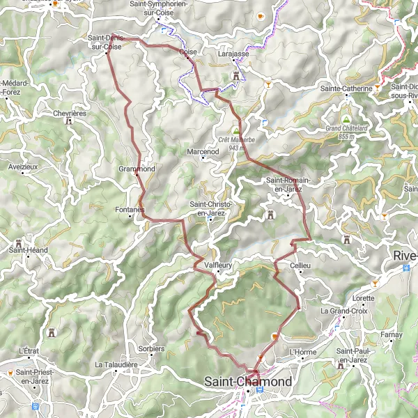
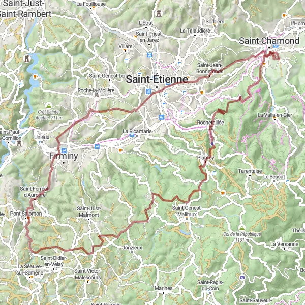
Explore the rugged terrain leading to the stunning Crêt Saint-Georges
This challenging 52 km gravel route takes you through picturesque landscapes and quaint villages. The highlight of the journey is reaching the majestic Crêt Saint-Georges, offering breathtaking views of the surrounding area.
![Miniaturní mapa "Gravel Route to Col du Fayet" inspirace pro cyklisty v oblasti Rhône-Alpes, France. Vytvořeno pomocí plánovače tras Tarmacs.app](https://images.tarmacs.app/cycling-routes/routemaps/600/france/rhone-alpes/saint-chamond/gravel/212330.webp)
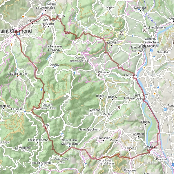
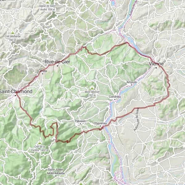
Enjoy a challenging gravel ride with stunning views
Explore the beautiful Rhône-Alpes region on this gravel route, with highlights including Saint-Paul-en-Jarez and Serrières. The route offers a total ascent of 2019 meters over 87 kilometers, making it a great option for adventurous cyclists looking for a unique experience.
![Miniaturní mapa "Road Cycling Adventure to Col des Baraques" inspirace pro cyklisty v oblasti Rhône-Alpes, France. Vytvořeno pomocí plánovače tras Tarmacs.app](https://images.tarmacs.app/cycling-routes/routemaps/600/france/rhone-alpes/saint-chamond/road/212343.webp)
Embark on an epic road cycling journey through picturesque landscapes
Experience the thrill of road cycling on this challenging route that includes highlights like Crêt de l'Œillon and Belvédère du Guizay. With a total ascent of 3693 meters over 167 kilometers, this route is perfect for cyclists seeking a demanding but rewarding ride.
![Miniaturní mapa "Gravel cyklistická trasa kolem Saint-Chamond" inspirace pro cyklisty v oblasti Rhône-Alpes, France. Vytvořeno pomocí plánovače tras Tarmacs.app](https://images.tarmacs.app/cycling-routes/routemaps/600/france/rhone-alpes/saint-chamond/gravel/212348.webp)
Místními cestami a lesními stezkami pro výlet s výhledy
Tato 82 km dlouhá trasa po travnatých cestách a skrz lesy nabídne cyklistům nezapomenutelný zážitek. Ascent 1884 m, celá trasa vede kolem malebných vesnic a přírodních scenérií. Výhledy na okolní krajinné obrazy a historické památky rozhodně stojí za námahu.
![Miniaturní mapa "Scenic Road Cycling Route to Roisey" inspirace pro cyklisty v oblasti Rhône-Alpes, France. Vytvořeno pomocí plánovače tras Tarmacs.app](https://images.tarmacs.app/cycling-routes/routemaps/600/france/rhone-alpes/saint-chamond/road/212352.webp)
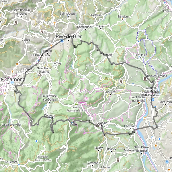
Pedal through picturesque landscapes and charming villages
Discover the beauty of the Rhône-Alpes region on this scenic road cycling route, with highlights including Lorette and La Chapelle-Villars. With a total ascent of 1786 meters over 88 kilometers, this route is perfect for cyclists looking for a mix of challenging climbs and relaxing descents.
![Miniaturní mapa "Cyklistická trasa po silnici poblíž Saint-Chamond" inspirace pro cyklisty v oblasti Rhône-Alpes, France. Vytvořeno pomocí plánovače tras Tarmacs.app](https://images.tarmacs.app/cycling-routes/routemaps/600/france/rhone-alpes/saint-chamond/road/212325.webp)
Pěkná cesta s výhledy na horizont
Tato 78 km dlouhá trasa vás provede malebnými vesnicemi a kopci s výhledy na krajinu. Ascent 1599 m, trasa je vhodná pro cyklisty všech úrovní dovedností. Zastavení v místních kavárnách a restauracích na trase ocení každý cestovatel.
![Miniaturní mapa "Scenic Road Cycling Tour to Bourg-Argental" inspirace pro cyklisty v oblasti Rhône-Alpes, France. Vytvořeno pomocí plánovače tras Tarmacs.app](https://images.tarmacs.app/cycling-routes/routemaps/600/france/rhone-alpes/saint-chamond/road/212336.webp)
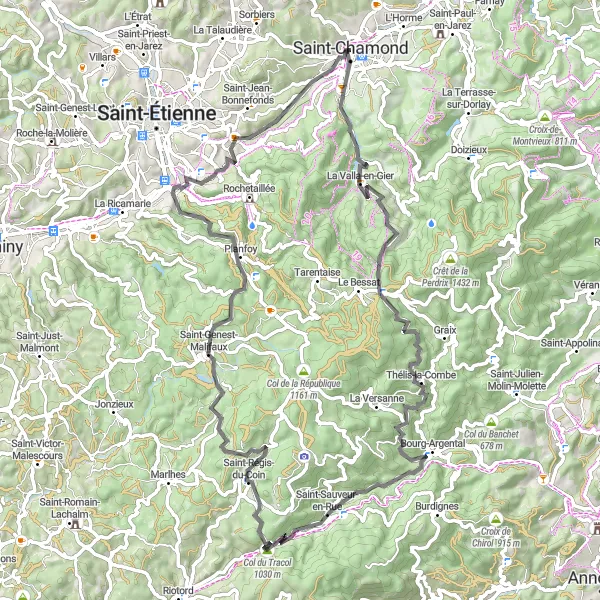
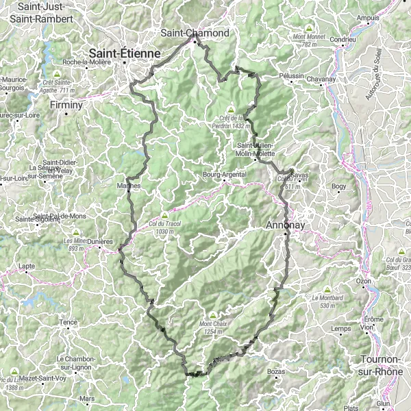
Enjoy an 82 km road cycling journey to Bourg-Argental
Embark on an 82 km road cycling adventure through picturesque landscapes and charming villages. The route features challenging ascents and rewarding descents, making it a thrilling experience for cyclists of all levels. Enjoy the stunning views from the Col du Tracol and the peaceful atmosphere of Terrenoire.
![Miniaturní mapa "Epic Gravel Tour to Crêt de Botte" inspirace pro cyklisty v oblasti Rhône-Alpes, France. Vytvořeno pomocí plánovače tras Tarmacs.app](https://images.tarmacs.app/cycling-routes/routemaps/600/france/rhone-alpes/saint-chamond/gravel/212345.webp)
Embark on a 102 km gravel adventure to the majestic Crêt de Botte
Discover the beauty of the region on this challenging 102 km gravel route. Marvel at historic landmarks, charming villages, and stunning landscapes along the way. The highlight of the journey is reaching the iconic Crêt de Botte, offering panoramic views of the surrounding area.
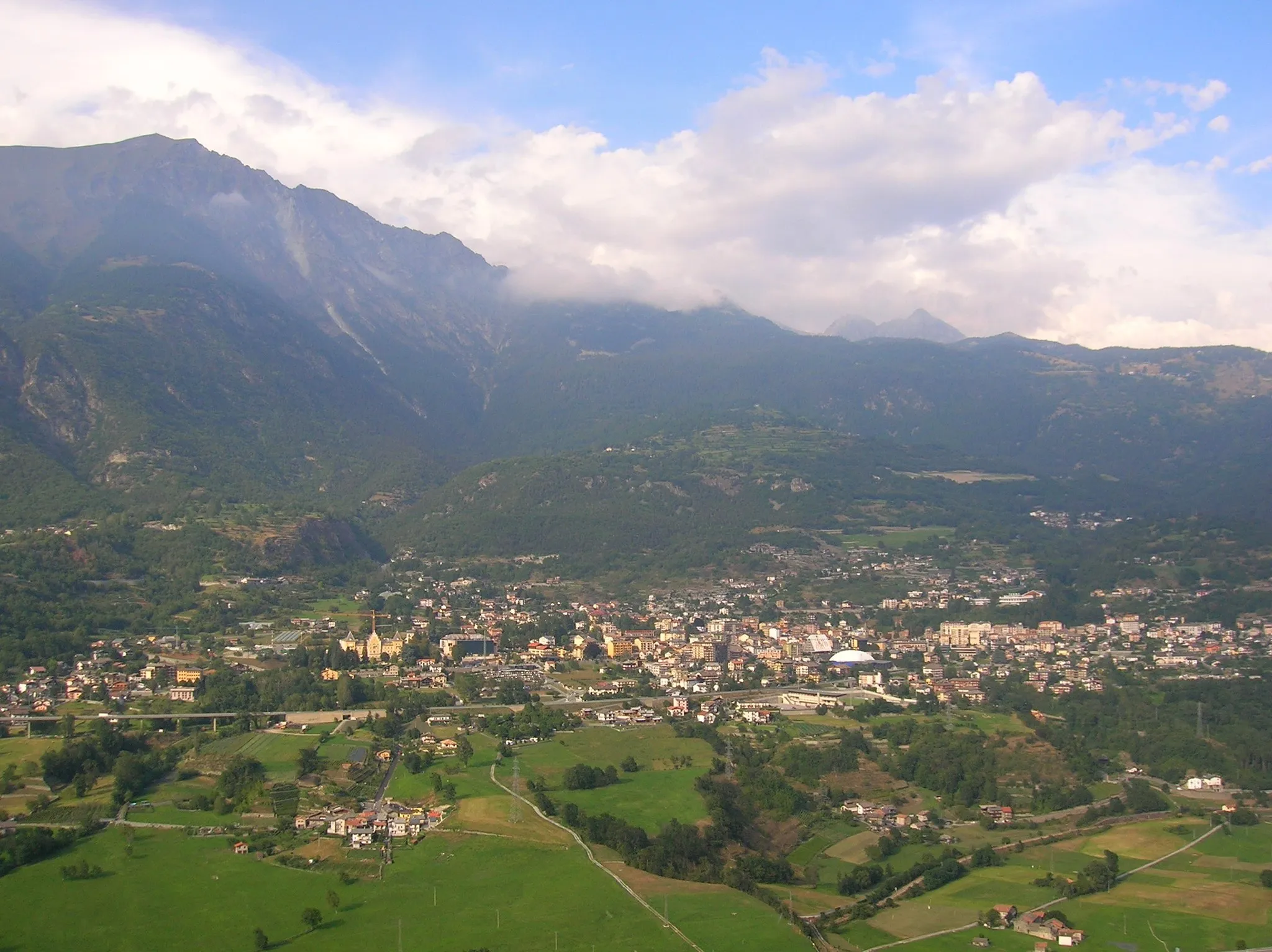
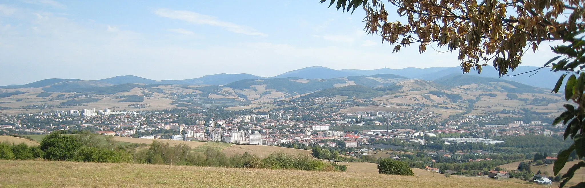
Cyklotrasy v okolí:
Okolní oblasti:
![Obrázek Tirol](https://images.tarmacs.app/cycling-routes/covers/austria/tirol/goetzens-3.webp)
![Obrázek Vorarlberg](https://images.tarmacs.app/cycling-routes/covers/austria/vorarlberg/tschagguns-5.webp)
![Obrázek Région lémanique](https://images.tarmacs.app/cycling-routes/covers/switzerland/region-lemanique/la-tour-de-peilz-5.webp)
![Obrázek Espace Mittelland](https://images.tarmacs.app/cycling-routes/covers/switzerland/espace-mittelland/vuadens-2.webp)
![Obrázek Katalánsko](https://images.tarmacs.app/cycling-routes/covers/spain/cataluna/santa-cristina-d-aro-2.webp)
![Obrázek Bourgogne](https://images.tarmacs.app/cycling-routes/covers/france/bourgogne/charny-5.webp)
![Obrázek Franche-Comté](https://images.tarmacs.app/cycling-routes/covers/france/franche-comte/saint-aubin-5.webp)
![Obrázek Languedoc-Roussillon](https://images.tarmacs.app/cycling-routes/covers/france/languedoc-roussillon/lespignan-5.webp)
![Obrázek Auvergne](https://images.tarmacs.app/cycling-routes/covers/france/auvergne/saint-yorre-4.webp)
![Obrázek Provence-Alpes-Côte d’Azur](https://images.tarmacs.app/cycling-routes/covers/france/provence-alpes-cote-dazur/sainte-cecile-les-vignes-4.webp)
![Obrázek Piemonte](https://images.tarmacs.app/cycling-routes/covers/italy/piemonte/galliate-1.webp)
![Obrázek Valle d’Aosta/Vallée d’Aoste](https://images.tarmacs.app/cycling-routes/covers/italy/valle-daosta-vallee-daoste/saint-vincent-4.webp)