![Cover image](https://images.tarmacs.app/cycling-routes/covers/france/rhone-alpes/saint-georges-de-reneins-2.webp)
Jízda kolem vinic a památek.
Cyklistické trasy kolem Saint-Georges-de-Reneins
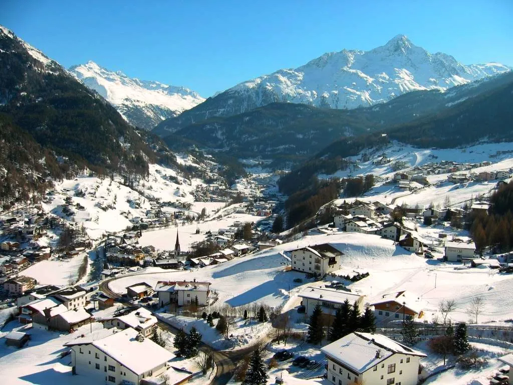
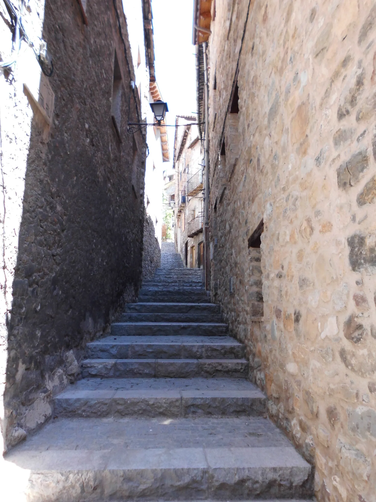
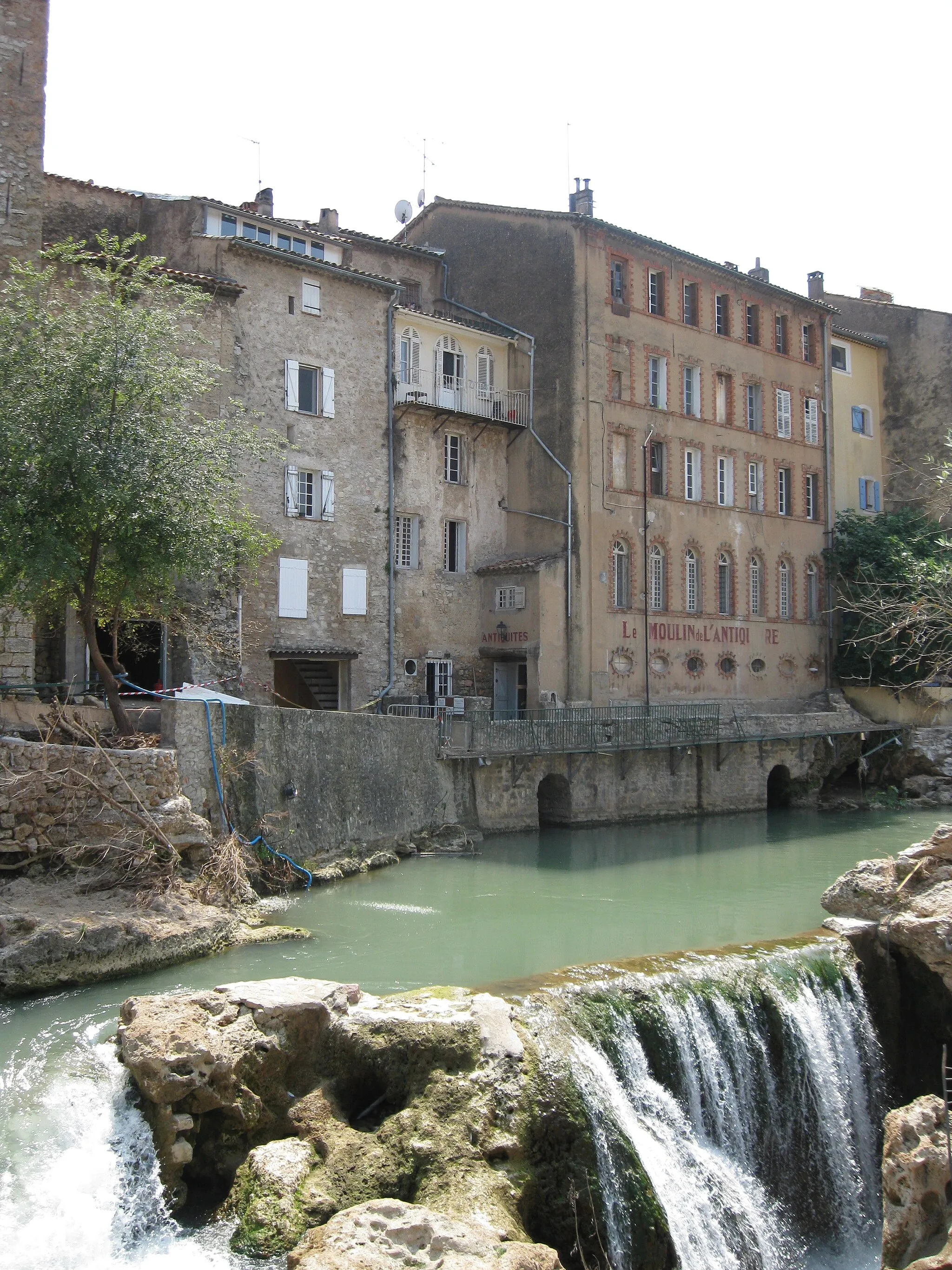
Saint-Georges-de-Reneins je malebná lokalita v regionu Rhône-Alpes ve Francii. Cyklisté zde mohou vychutnat klidné jízdy kolem vinic a historických památek. Nedaleko se nachází známé cyklistické trasy a kopce pro náročnější jezdce.
![Miniaturní mapa "Gravel Excursion to Château de Laye" inspirace pro cyklisty v oblasti Rhône-Alpes, France. Vytvořeno pomocí plánovače tras Tarmacs.app](https://images.tarmacs.app/cycling-routes/routemaps/600/france/rhone-alpes/saint-georges-de-reneins/gravel/23780.webp)
Embark on a scenic gravel journey to the enchanting Château de Laye near Saint-Georges-de-Reneins
Discover the beauty of the French countryside on this captivating gravel route. Pedal through picturesque villages and lush landscapes as you make your way to the historic Château de Laye. Admire the panoramic views from Panorama de la Terrasse and explore the charming town of Villefranche-sur-Saône. This route offers a perfect combination of natural wonders and cultural experiences for cyclists looking for a memorable adventure.
![Miniaturní mapa "Gravel Route to Mont Brouilly" inspirace pro cyklisty v oblasti Rhône-Alpes, France. Vytvořeno pomocí plánovače tras Tarmacs.app](https://images.tarmacs.app/cycling-routes/routemaps/600/france/rhone-alpes/saint-georges-de-reneins/gravel/23771.webp)
Discover the picturesque vineyards and challenging climbs along this gravel route near Saint-Georges-de-Reneins
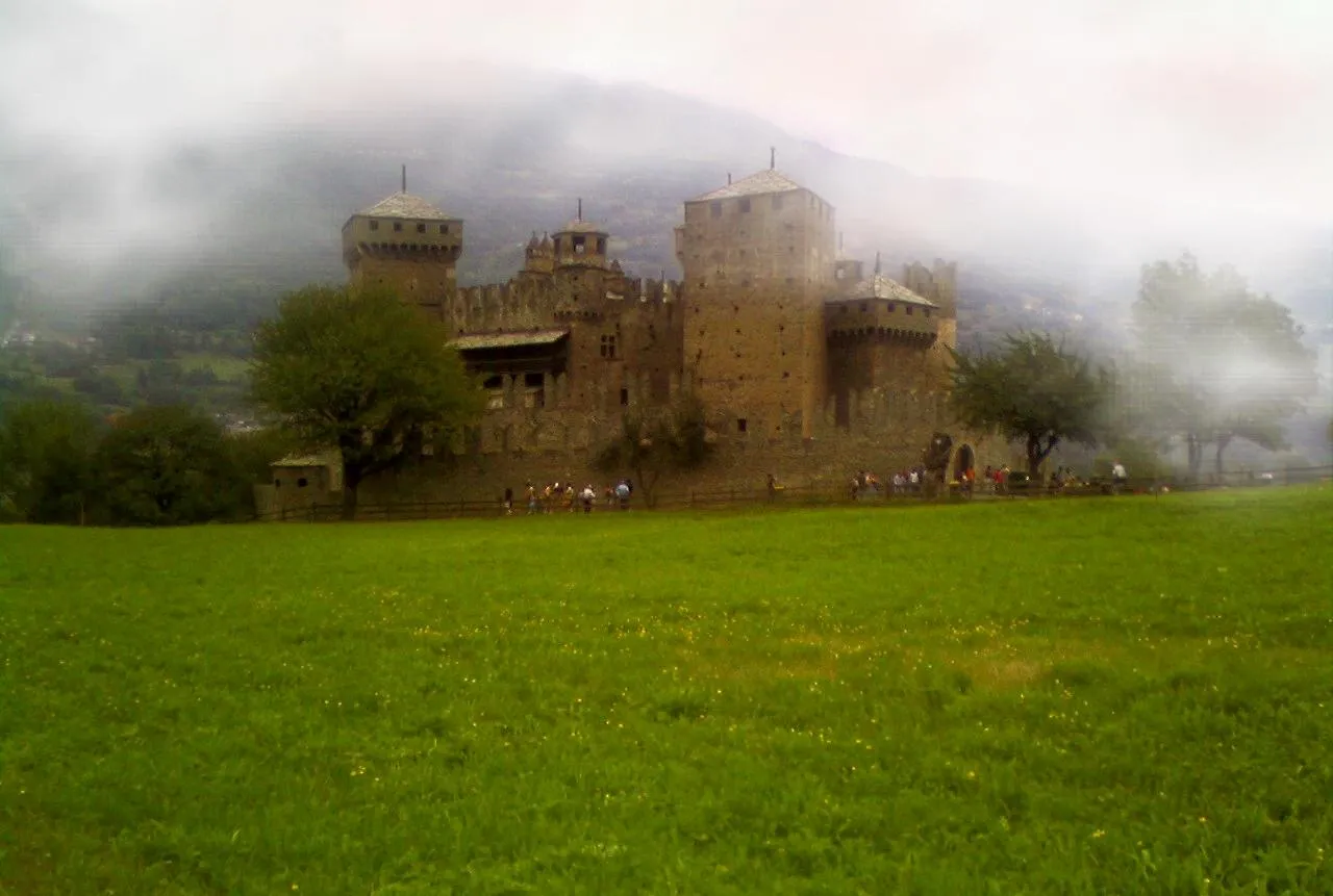
Explore the rolling hills and charming villages as you make your way to the iconic Mont Brouilly. Enjoy the stunning views of the surrounding landscapes and take a break at the historic Château d'Arginy. A perfect mix of nature and culture awaits you on this exciting cycling adventure.
![Miniaturní mapa "Gravelový okruh kolem Saint-Georges-de-Reneins, Col du Truges, Cenves a Mont de Pouilly" inspirace pro cyklisty v oblasti Rhône-Alpes, France. Vytvořeno pomocí plánovače tras Tarmacs.app](https://images.tarmacs.app/cycling-routes/routemaps/600/france/rhone-alpes/saint-georges-de-reneins/gravel/94519.webp)
Náročný gravelový okruh s krásnými výhledy a přírodními scenériemi.
Tento 78km dlouhý okruh je vhodný pro dobrodružné cyklisty, kteří hledají náročnou terénní výzvu. Trasa vede přes kopce a údolí, nabízí krásné výhledy na okolní krajinu a zajímavé technické pasáže.
![Miniaturní mapa "Okružní cyklistická trasa z Saint-Georges-de-Reneins" inspirace pro cyklisty v oblasti Rhône-Alpes, France. Vytvořeno pomocí plánovače tras Tarmacs.app](https://images.tarmacs.app/cycling-routes/routemaps/600/france/rhone-alpes/saint-georges-de-reneins/road/94498.webp)
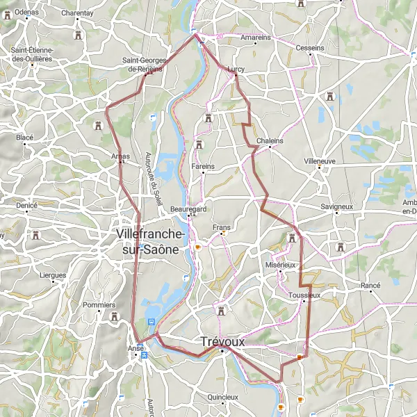
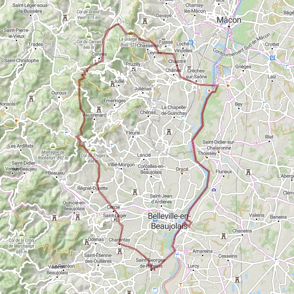
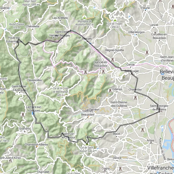
Okruh plný malebných výhledů a půvabných vesniček
Tato 79 km dlouhá trasa nabízí překrásné scenérie od Saint-Georges-de-Reneins až po Montmerle-sur-Saône. Projedete kolem Villié-Morgon a Col des Labourons, abyste pokračovali až do Mâcon a Saint-Étienne-sur-Chalaronne.
![Miniaturní mapa "Náročný silniční okruh kolem Blacé, Saint-Nizier-d'Azergues a Chénas" inspirace pro cyklisty v oblasti Rhône-Alpes, France. Vytvořeno pomocí plánovače tras Tarmacs.app](https://images.tarmacs.app/cycling-routes/routemaps/600/france/rhone-alpes/saint-georges-de-reneins/road/23777.webp)
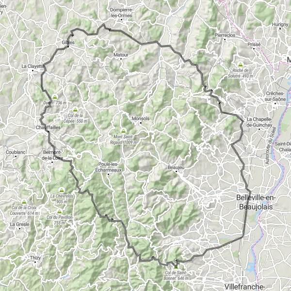
Složitý silniční okruh s mnoha kopci a malebnými vesnicemi.
Tento 140km dlouhý okruh je vyhrazen zkušeným silničním cyklistům, kteří hledají výzvu a krásné výhledy. Trasa vede přes kopcovitou krajinu s malebnými vesnicemi a historickými památkami, což z ní činí nezapomenutelný zážitek pro cyklisty všech úrovní.
![Miniaturní mapa "Kolem vesnice Chaneins na kole" inspirace pro cyklisty v oblasti Rhône-Alpes, France. Vytvořeno pomocí plánovače tras Tarmacs.app](https://images.tarmacs.app/cycling-routes/routemaps/600/france/rhone-alpes/saint-georges-de-reneins/road/23785.webp)
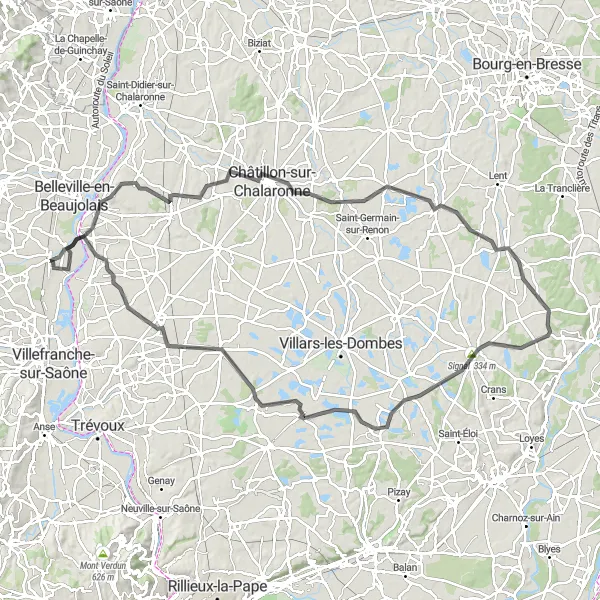
Prozkoumejte vinice a historii na krásné cyklistické trase
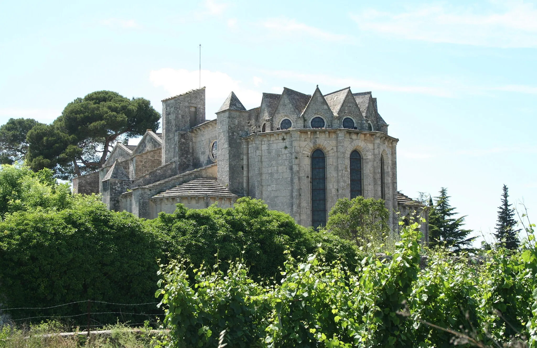
Trasa v délce 114 km nabídne pohled na vinice a památky, jako je Signal nebo Château de Vallières. S převýšením 579 m je vhodná pro zdatné cyklisty, kteří hledají výzvu.
![Miniaturní mapa "Scenic Gravel Tour to Château de Vallières" inspirace pro cyklisty v oblasti Rhône-Alpes, France. Vytvořeno pomocí plánovače tras Tarmacs.app](https://images.tarmacs.app/cycling-routes/routemaps/600/france/rhone-alpes/saint-georges-de-reneins/gravel/23781.webp)
Embark on a thrilling gravel adventure to the majestic Château de Vallières through the beautiful countryside near Saint-Georges-de-Reneins
Ride through idyllic landscapes and picturesque villages on this challenging gravel route. Marvel at the rugged beauty of Col du Joncin and soak in the rich history of Chamelet. Discover the hidden gem of Grandris and enjoy a well-deserved rest at the iconic Château de Vallières. This route offers a perfect blend of natural beauty and cultural heritage for an unforgettable cycling experience.
![Miniaturní mapa "Rozmanitá krajina kolem Blacé" inspirace pro cyklisty v oblasti Rhône-Alpes, France. Vytvořeno pomocí plánovače tras Tarmacs.app](https://images.tarmacs.app/cycling-routes/routemaps/600/france/rhone-alpes/saint-georges-de-reneins/road/23792.webp)
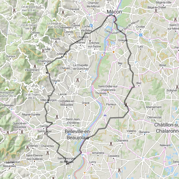
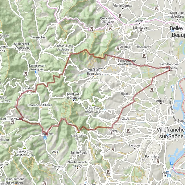
Projeďte se krajinou plnou vinic a kopců
Trasa v délce 69 km vede přes malebné vesnice a kopce a končí u úchvatného Château de Vallières. S převýšením 1141 m poskytne adrenalinový zážitek pro zkušené cyklisty.
![Miniaturní mapa "Gravel Tour de Beaujolais" inspirace pro cyklisty v oblasti Rhône-Alpes, France. Vytvořeno pomocí plánovače tras Tarmacs.app](https://images.tarmacs.app/cycling-routes/routemaps/600/france/rhone-alpes/saint-georges-de-reneins/gravel/94555.webp)
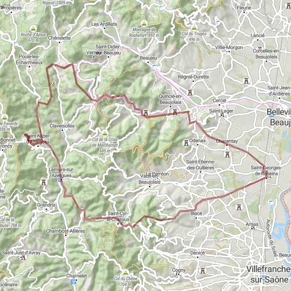
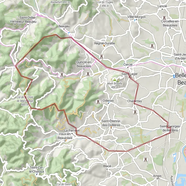
Explore the picturesque Beaujolais region on this challenging gravel route
Embark on a 70 km adventure through rolling hills and vineyards, with a total ascent of 1671 m. Pass by the quaint village of Saint-Nizier-d'Azergues and enjoy panoramic views from Col de la Vieille Morte. Challenge yourself with climbs up Mont Tourvéon and Mont Brouilly, and finish in the charming village of Charentay.
![Miniaturní mapa "Náročná trasa kolem Le Perréon" inspirace pro cyklisty v oblasti Rhône-Alpes, France. Vytvořeno pomocí plánovače tras Tarmacs.app](https://images.tarmacs.app/cycling-routes/routemaps/600/france/rhone-alpes/saint-georges-de-reneins/road/23783.webp)
Vydejte se na challenging cyklistickou túru s krásnými výhledy
Trasa v délce 106 km vede přes kopce, lesy a malebné vesnice, jako Signal de la Mère Boitier a Château de Vallières. S převýšením 1982 m je určena pro zkušené cyklisty hledající náročnou výzvu.
Cyklotrasy v okolí:
Okolní oblasti:
![Obrázek Tirol](https://images.tarmacs.app/cycling-routes/covers/austria/tirol/soelden-5.webp)
![Obrázek Vorarlberg](https://images.tarmacs.app/cycling-routes/covers/austria/vorarlberg/wolfurt-4.webp)
![Obrázek Région lémanique](https://images.tarmacs.app/cycling-routes/covers/switzerland/region-lemanique/thonex-4.webp)
![Obrázek Espace Mittelland](https://images.tarmacs.app/cycling-routes/covers/switzerland/espace-mittelland/matten-5.webp)
![Obrázek Katalánsko](https://images.tarmacs.app/cycling-routes/covers/spain/cataluna/baga-2.webp)
![Obrázek Bourgogne](https://images.tarmacs.app/cycling-routes/covers/france/bourgogne/plombieres-les-dijon-2.webp)
![Obrázek Franche-Comté](https://images.tarmacs.app/cycling-routes/covers/france/franche-comte/lavans-les-saint-claude-2.webp)
![Obrázek Languedoc-Roussillon](https://images.tarmacs.app/cycling-routes/covers/france/languedoc-roussillon/pignan-5.webp)
![Obrázek Auvergne](https://images.tarmacs.app/cycling-routes/covers/france/auvergne/sayat-1.webp)
![Obrázek Provence-Alpes-Côte d’Azur](https://images.tarmacs.app/cycling-routes/covers/france/provence-alpes-cote-dazur/trans-en-provence-5.webp)
![Obrázek Valle d’Aosta/Vallée d’Aoste](https://images.tarmacs.app/cycling-routes/covers/italy/valle-daosta-vallee-daoste/fenis-2.webp)