![Cover image](https://images.tarmacs.app/cycling-routes/covers/france/rhone-alpes/villefontaine-4.webp)
Klidné cyklostezky a odpočinkové prostory v přírodě.
Cyklistické trasy kolem Villefontaine
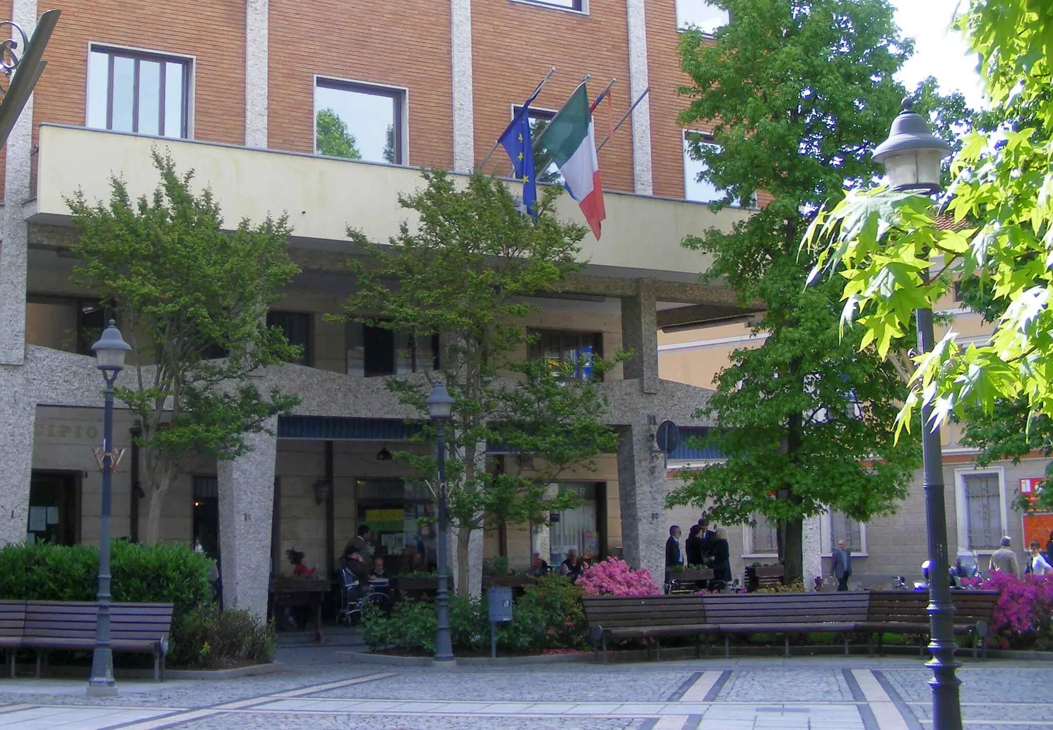
Villefontaine je vhodným místem pro cyklisty, kteří hledají klidné cyklostezky a odpočinkové prostory v přírodě. Okolí nabízí různorodá terénní zpestření pro všechny úrovně jezdců.
![Miniaturní mapa "Picturesque Cycling Route near Villefontaine" inspirace pro cyklisty v oblasti Rhône-Alpes, France. Vytvořeno pomocí plánovače tras Tarmacs.app](https://images.tarmacs.app/cycling-routes/routemaps/600/france/rhone-alpes/villefontaine/road/207966.webp)
Experience the beauty of the French countryside on this 62km road cycling route
This 62km road cycling route offers a mix of flat roads and challenging climbs, with a total ascent of 764m. Explore charming villages, rolling hills, and scenic landscapes as you pedal through the Rhône-Alpes region.
![Miniaturní mapa "Gravelová trasa kolem Villefontaine" inspirace pro cyklisty v oblasti Rhône-Alpes, France. Vytvořeno pomocí plánovače tras Tarmacs.app](https://images.tarmacs.app/cycling-routes/routemaps/600/france/rhone-alpes/villefontaine/gravel/207944.webp)
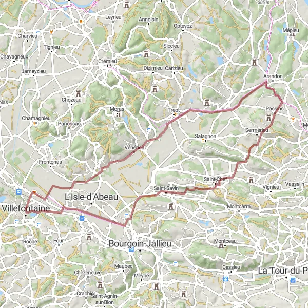
Náročná cesta vhodná pro dobrodružné cyklisty
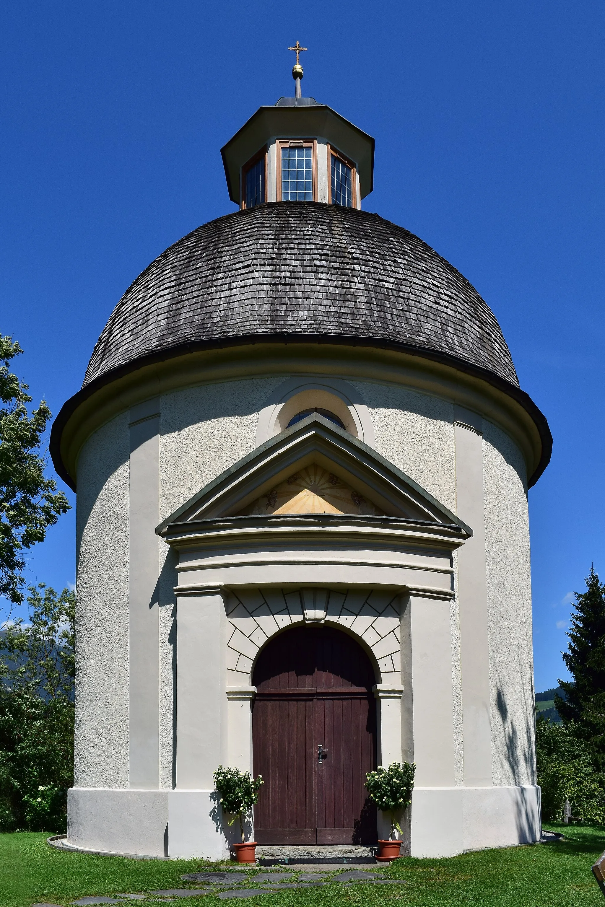
Tato trasa vede přes Trept a Sermérieu, kde si můžete užít malebnou krajinu a klid venkova. Dále projedete kolem Saint-Chef a Vaulx-Milieu, kde je možnost ochutnat místní speciality a prozkoumat okolní přírodu. Ideální výlet pro milovníky gravelové cyklistiky.
![Miniaturní mapa "Gravel Bike Tour around Villefontaine" inspirace pro cyklisty v oblasti Rhône-Alpes, France. Vytvořeno pomocí plánovače tras Tarmacs.app](https://images.tarmacs.app/cycling-routes/routemaps/600/france/rhone-alpes/villefontaine/gravel/207973.webp)
Explore the picturesque countryside on this 99km gravel route
This challenging 99km gravel route takes you through beautiful landscapes, quaint villages, and rolling hills. With a total ascent of 512m, this route offers a nice mix of flat sections and climbs, providing a great adventure for gravel bike enthusiasts.
![Miniaturní mapa "Kruhová trasa s náročným stoupáním" inspirace pro cyklisty v oblasti Rhône-Alpes, France. Vytvořeno pomocí plánovače tras Tarmacs.app](https://images.tarmacs.app/cycling-routes/routemaps/600/france/rhone-alpes/villefontaine/road/207965.webp)
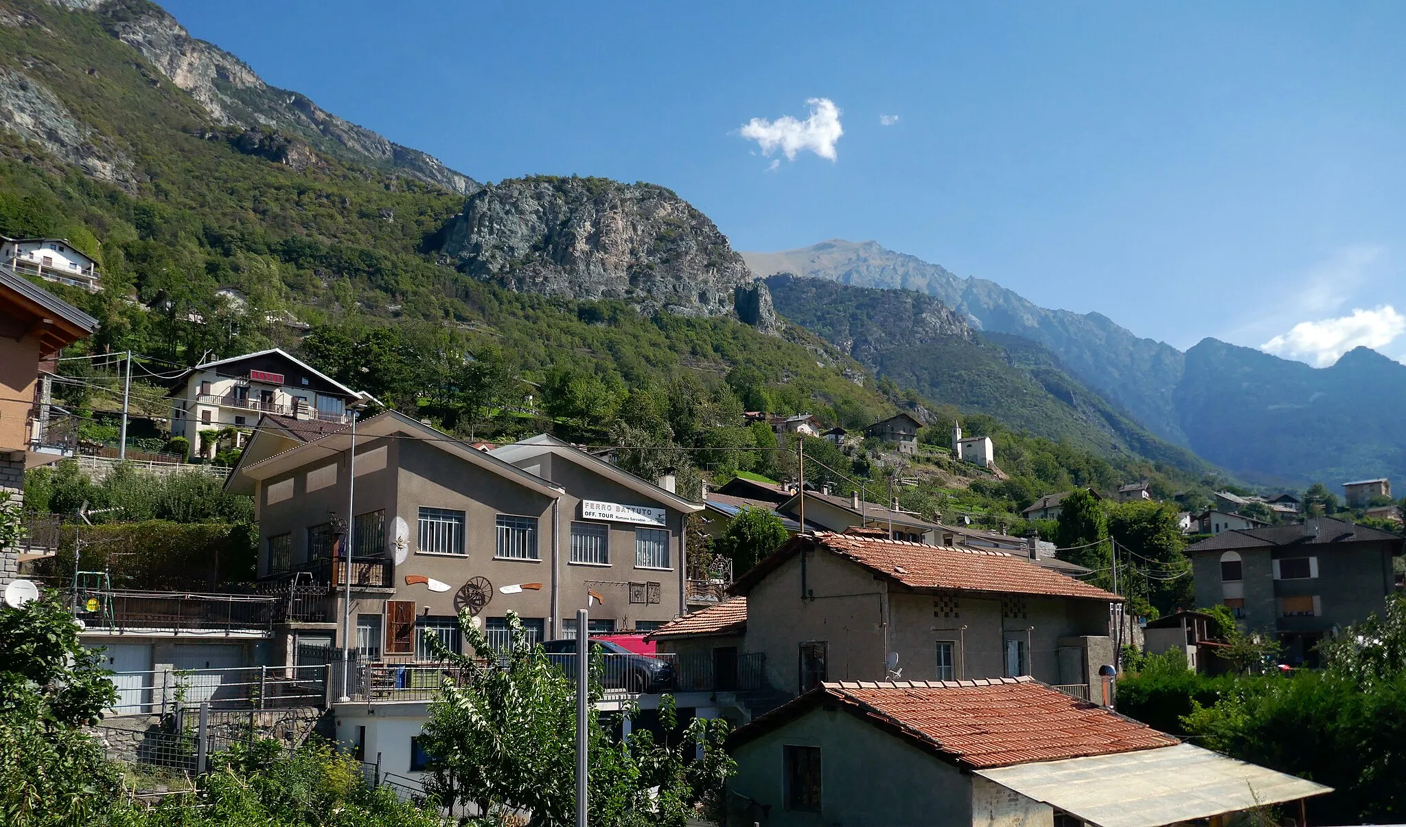
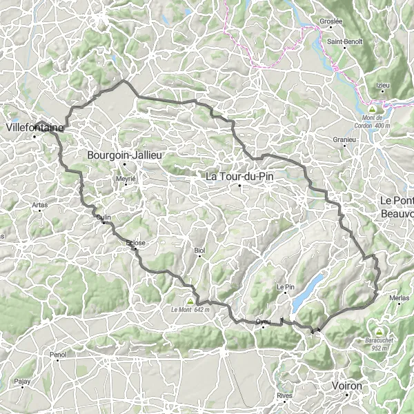
Výzva pro zkušené cyklisty s krásnými výhledy
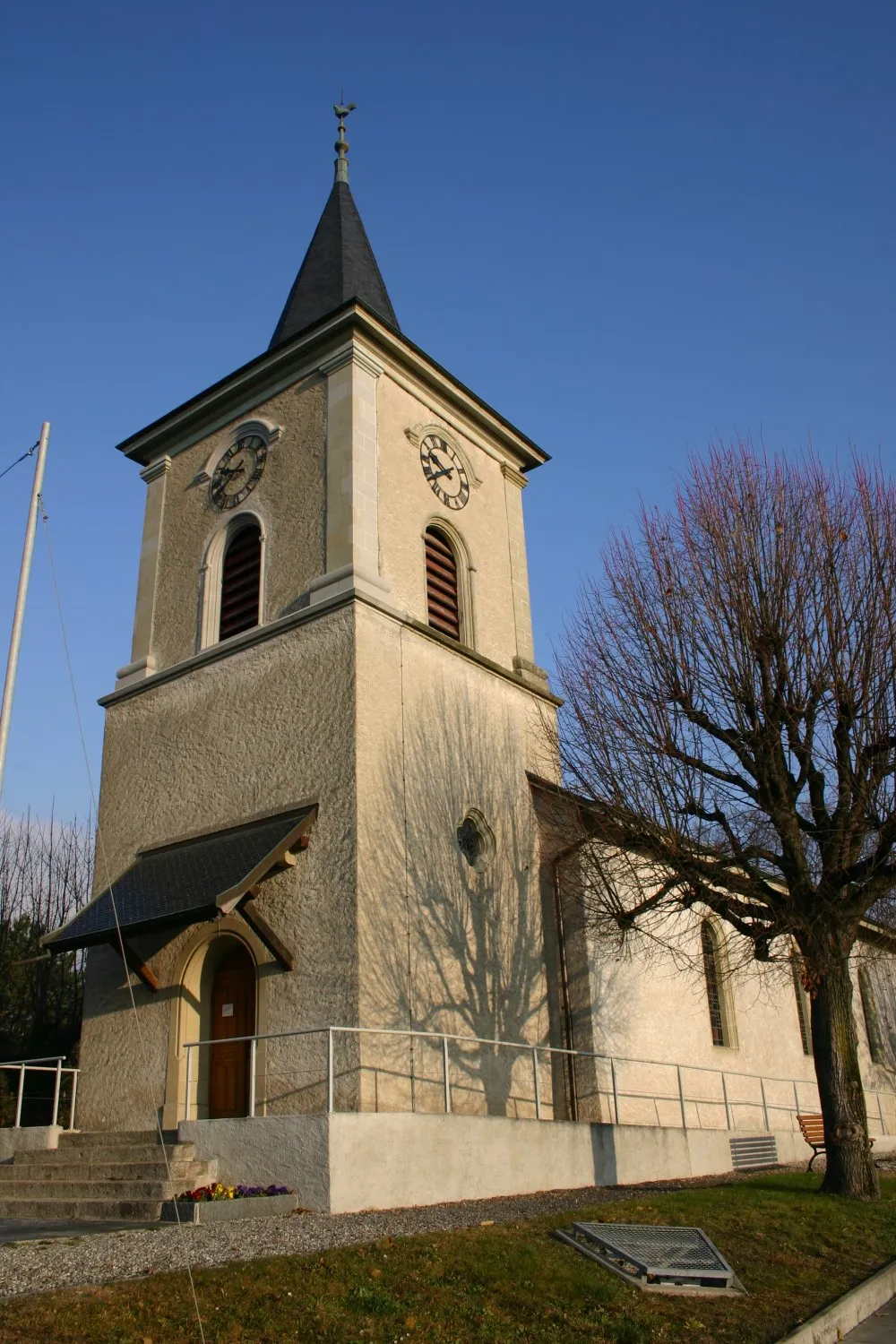
Tato trasa vede přes Roche a Lieudieu, kde si můžete užít nádherné scenérie a horské krajiny. Dále projedete kolem Penol, Pact a Septème, kde je možnost obdivovat panoramatické výhledy a čerstvý horský vzduch. Skvělá trasa pro cyklisty, kteří vyhledávají náročné výzvy a krásné přírodní scenérie.
![Miniaturní mapa "Cyklistická trasa kolem Villefontaine a okolí" inspirace pro cyklisty v oblasti Rhône-Alpes, France. Vytvořeno pomocí plánovače tras Tarmacs.app](https://images.tarmacs.app/cycling-routes/routemaps/600/france/rhone-alpes/villefontaine/road/207974.webp)
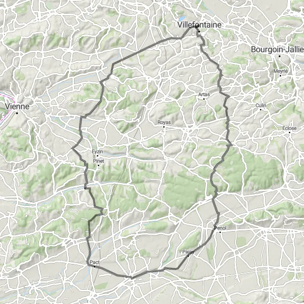
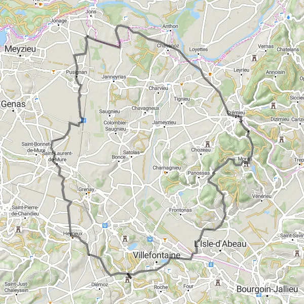
Prozkoumejte kouzelnou krajinu a zastavte se ve vesnicích s bohatou historií
Trasa nabízí 78 km krásné krajiny a zajímavá místa, jako je Point de vue sur Moulin a Villeneuve-de-Marc. Cestou se zastavte ve vesnici Bonnefamille a užijte si místní pohostinnost.
![Miniaturní mapa "Okružní cyklistická trasa kolem Villefontaine" inspirace pro cyklisty v oblasti Rhône-Alpes, France. Vytvořeno pomocí plánovače tras Tarmacs.app](https://images.tarmacs.app/cycling-routes/routemaps/600/france/rhone-alpes/villefontaine/road/208000.webp)
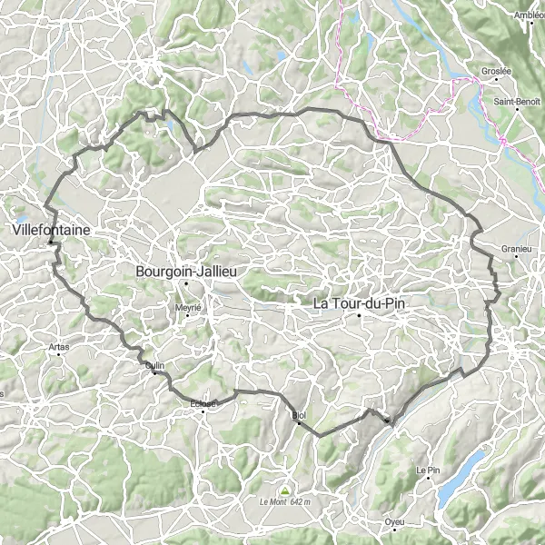
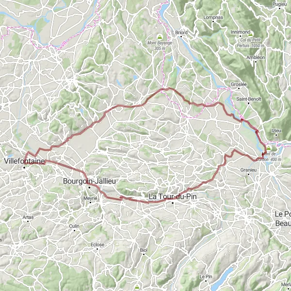
Očarující cesta plná překrásné krajiny a malebných vesnic
Tato trasa nabízí 108 km okouzlující krajiny a příjemné stoupání, které vás provede městy Trept, Saint-Bonnet de Roche a mnoha dalšími. Navštívíte také malebná místa jako Biol, kde si můžete dopřát zaslouženou pauzu.
![Miniaturní mapa "Road Cycling Adventure near Villefontaine" inspirace pro cyklisty v oblasti Rhône-Alpes, France. Vytvořeno pomocí plánovače tras Tarmacs.app](https://images.tarmacs.app/cycling-routes/routemaps/600/france/rhone-alpes/villefontaine/road/208019.webp)
Enjoy a scenic 78km road cycling route through the French countryside
This 78km road cycling route offers a mix of flat roads and challenging climbs, with a total ascent of 614m. Explore quaint villages, rolling hills, and picturesque landscapes as you pedal through the Rhône-Alpes region.
Vyjížďka kolem Culin
![Miniaturní mapa "Vyjížďka kolem Culin" inspirace pro cyklisty v oblasti Rhône-Alpes, France. Vytvořeno pomocí plánovače tras Tarmacs.app](https://images.tarmacs.app/cycling-routes/routemaps/600/france/rhone-alpes/villefontaine/road/207977.webp)
Náročná trasa s 1430 m převýšením
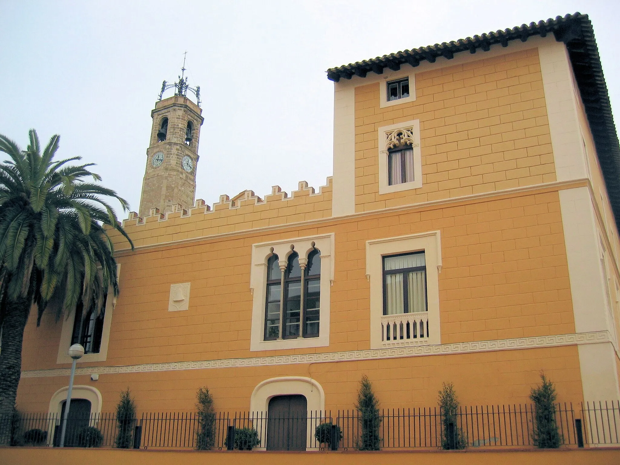
Tato 120 km dlouhá trasa kolem Culin naleznete pohledy na Vénérieu, La Chapelle-de-la-Tour, Les Abrets, Saint-Geoire-en-Valdaine, Mont Follet, Châbons, Culin a Vaulx-Milieu. Pro zkušené cyklisty s dobrou kondicí.
![Miniaturní mapa "Scenic Road Bike Tour in Rhône-Alpes" inspirace pro cyklisty v oblasti Rhône-Alpes, France. Vytvořeno pomocí plánovače tras Tarmacs.app](https://images.tarmacs.app/cycling-routes/routemaps/600/france/rhone-alpes/villefontaine/road/207981.webp)
Discover the beauty of the Rhône-Alpes region on this 68km road cycling route
This 68km road cycling route takes you through charming villages, rolling hills, and scenic landscapes. With a total ascent of 901m, this route offers a good mix of flat sections and challenging climbs, making it suitable for intermediate cyclists.
![Miniaturní mapa "Cyklistická trasa kolem Villefontaine a okolí" inspirace pro cyklisty v oblasti Rhône-Alpes, France. Vytvořeno pomocí plánovače tras Tarmacs.app](https://images.tarmacs.app/cycling-routes/routemaps/600/france/rhone-alpes/villefontaine/road/207961.webp)
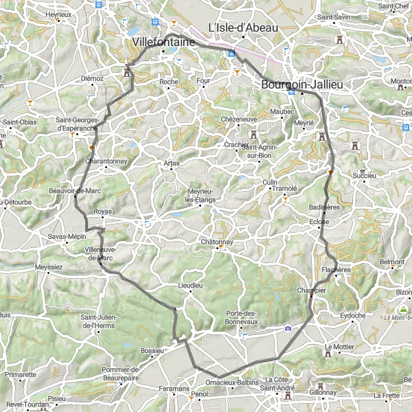
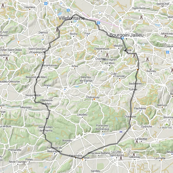
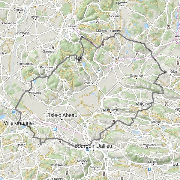
Zajímavá cesta plná malebných vesnic a krásného venkovského prostředí
Trasa vede přes Bourgoin-Jallieu a Champier, kde si můžete užít úžasný výhled na okolní krajinu. Dále projedete kolem Royas a Bonnefamille, kde můžete obdivovat historické památky a přírodní krásy. Celkově se jedná o skvělý výlet pro cyklisty, kteří si chtějí užít krásného francouzského venkova.
Cyklotrasy v okolí:
Okolní oblasti:
![Obrázek Tirol](https://images.tarmacs.app/cycling-routes/covers/austria/tirol/schwendau-1.webp)
![Obrázek Vorarlberg](https://images.tarmacs.app/cycling-routes/covers/austria/vorarlberg/hohenems-3.webp)
![Obrázek Région lémanique](https://images.tarmacs.app/cycling-routes/covers/switzerland/region-lemanique/ecublens-5.webp)
![Obrázek Espace Mittelland](https://images.tarmacs.app/cycling-routes/covers/switzerland/espace-mittelland/hilterfingen-1.webp)
![Obrázek Katalánsko](https://images.tarmacs.app/cycling-routes/covers/spain/cataluna/badalona-1.webp)
![Obrázek Bourgogne](https://images.tarmacs.app/cycling-routes/covers/france/bourgogne/saint-georges-sur-baulche-5.webp)
![Obrázek Franche-Comté](https://images.tarmacs.app/cycling-routes/covers/france/franche-comte/frasne-4.webp)
![Obrázek Languedoc-Roussillon](https://images.tarmacs.app/cycling-routes/covers/france/languedoc-roussillon/saint-martin-de-valgalgues-5.webp)
![Obrázek Auvergne](https://images.tarmacs.app/cycling-routes/covers/france/auvergne/thiers-3.webp)
![Obrázek Provence-Alpes-Côte d’Azur](https://images.tarmacs.app/cycling-routes/covers/france/provence-alpes-cote-dazur/les-pennes-mirabeau-5.webp)
![Obrázek Piemonte](https://images.tarmacs.app/cycling-routes/covers/italy/piemonte/cigliano-4.webp)
![Obrázek Valle d’Aosta/Vallée d’Aoste](https://images.tarmacs.app/cycling-routes/covers/italy/valle-daosta-vallee-daoste/chatillon-5.webp)