![Cover image](https://images.tarmacs.app/cycling-routes/covers/italy/friuli-venezia-giulia/povoletto-3.webp)
Klidná oblast pro cyklistiku v Povoletto
Cyklistické trasy kolem Povoletto
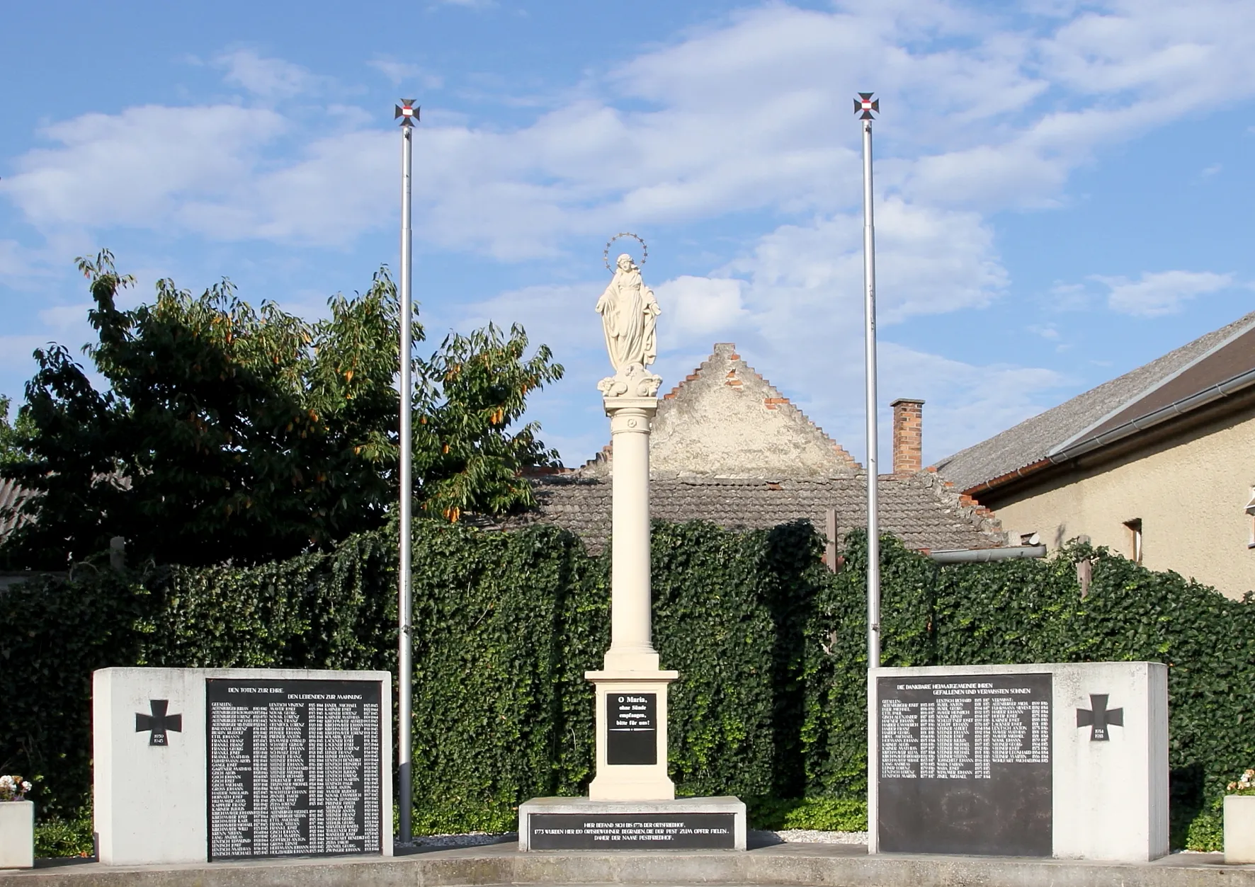
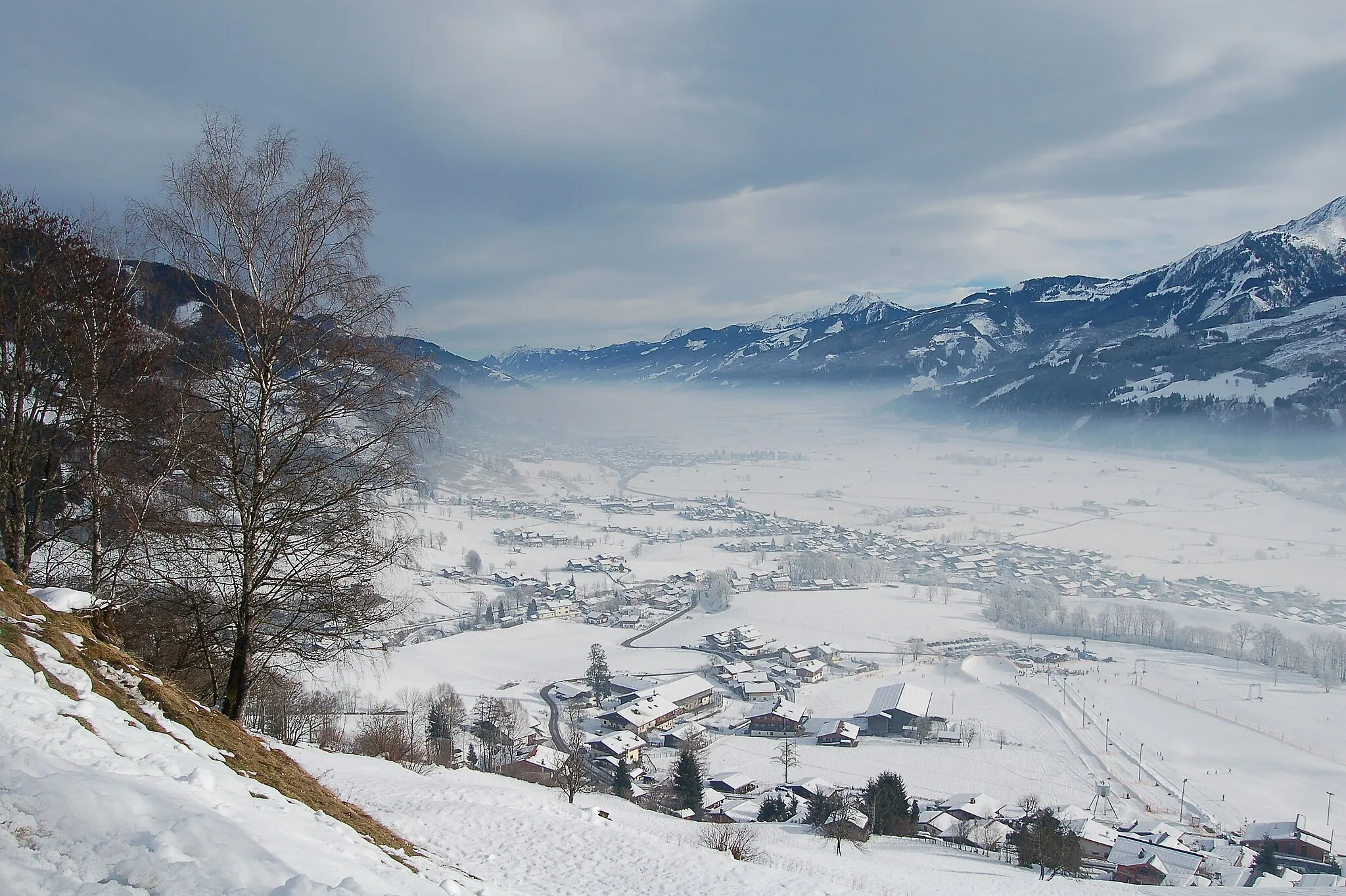
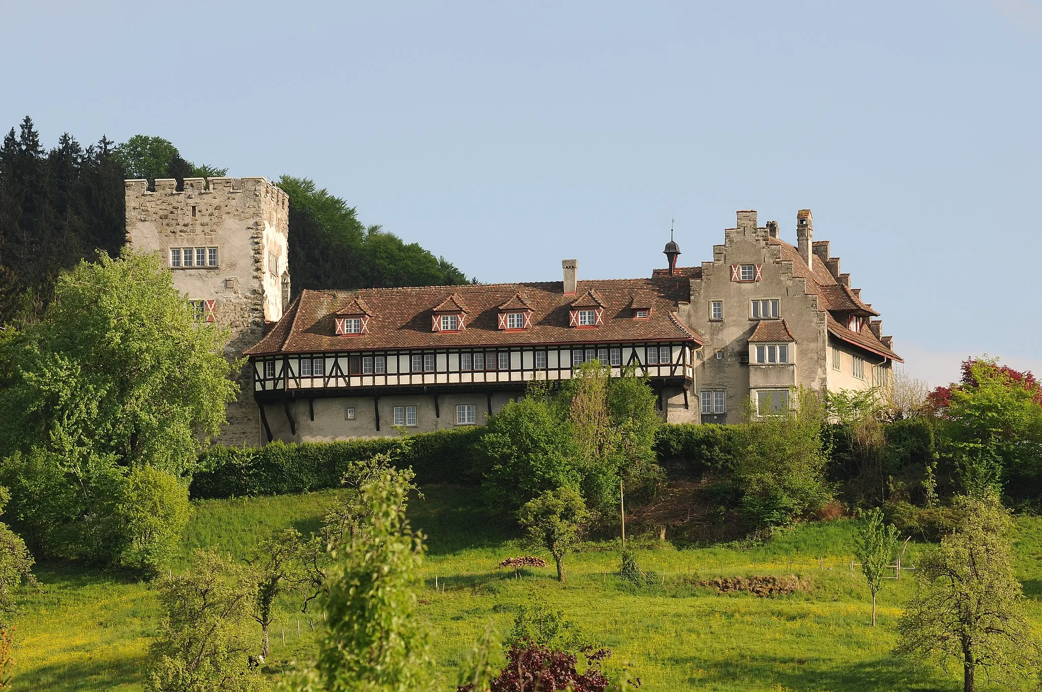
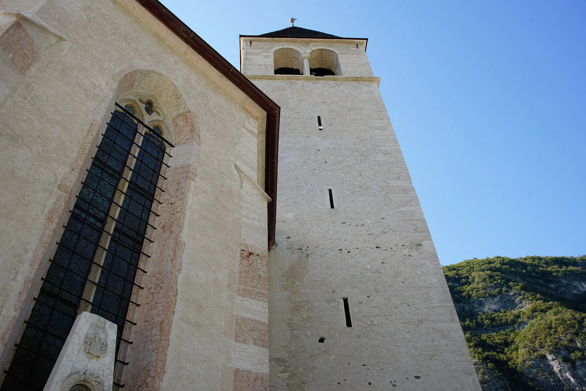
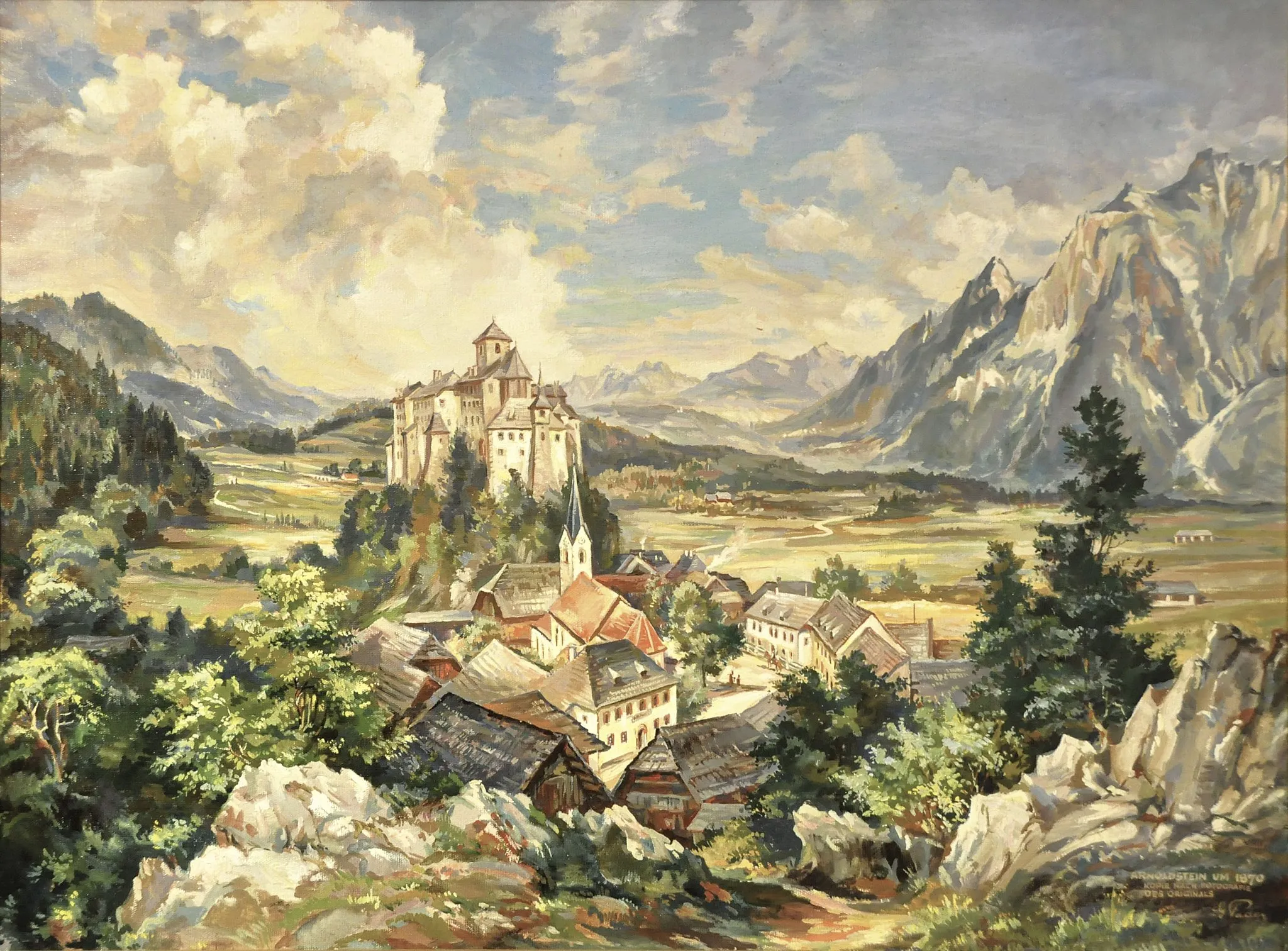
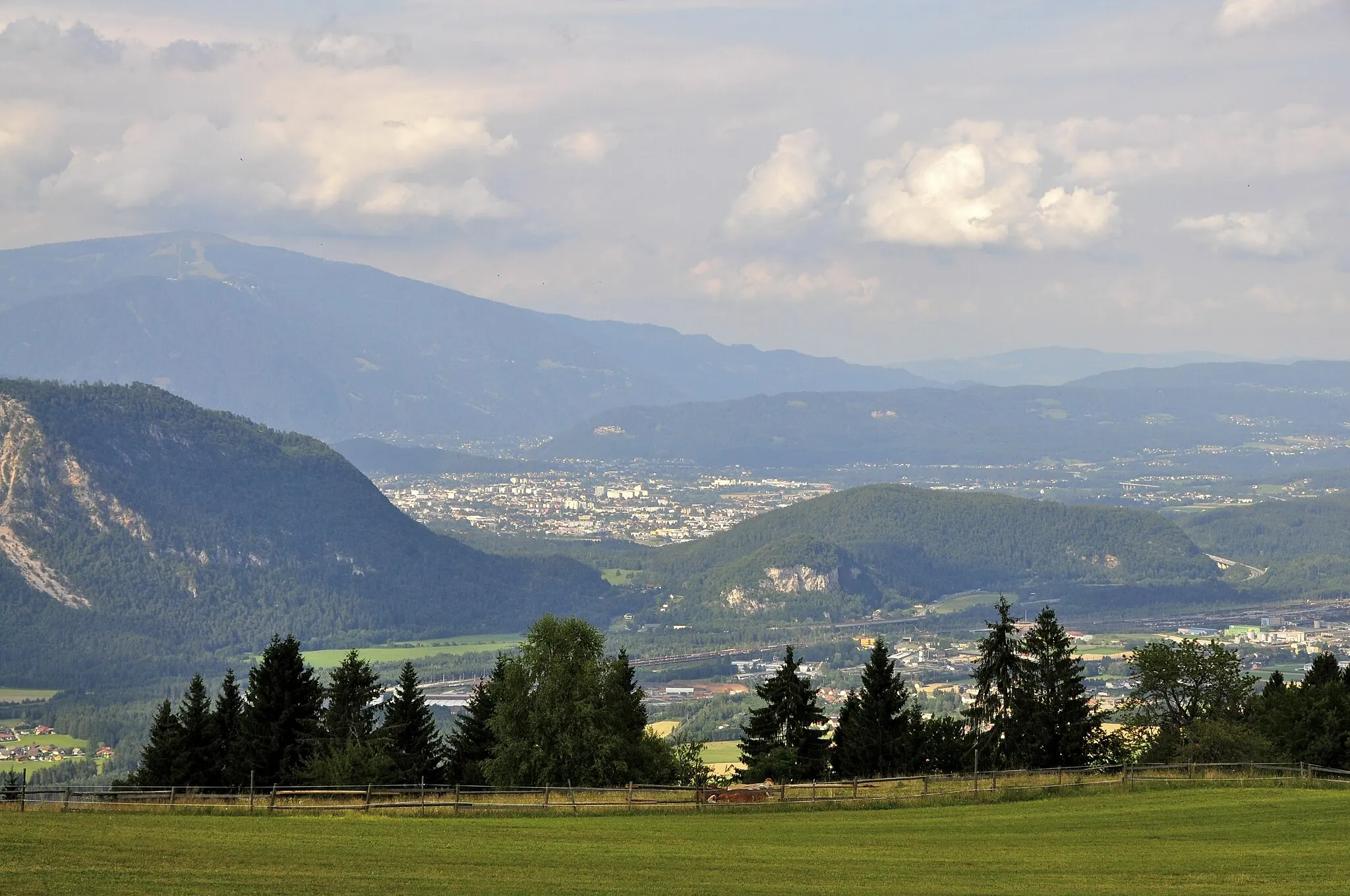
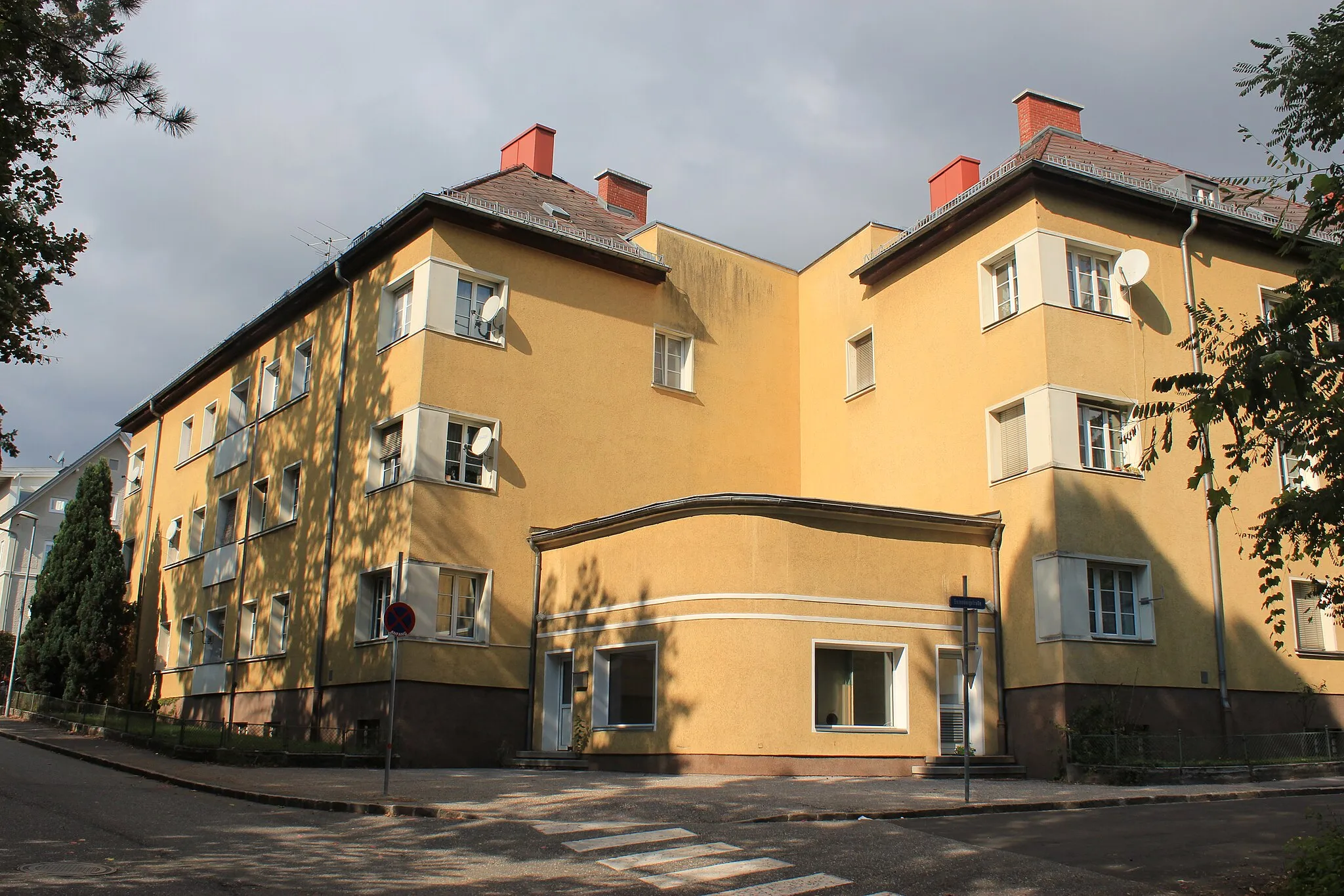
Povoletto je malebná oblast ležící ve Friuli-Venezia Giulia v Itálii. Krajina nabízí klidné silnice a malebné výhledy ideální pro jízdu na kole. Nedaleko se nachází Monte Zoncolan, známé cyklistické stoupání, které přitahuje cyklisty ze všech koutů světa. Povoletto je skvělým výchozím bodem pro cykloturistiku v regionu.
![Miniaturní mapa "Extended Gravel Adventure from Povoletto" inspirace pro cyklisty v oblasti Friuli-Venezia Giulia, Italy. Vytvořeno pomocí plánovače tras Tarmacs.app](https://images.tarmacs.app/cycling-routes/routemaps/600/italy/friuli-venezia-giulia/povoletto/gravel/176919.webp)
Embark on an extended 87 km gravel adventure starting near Povoletto
Experience the thrill of cycling through diverse terrains with 455 meters of ascent. Visit iconic landmarks such as San Tomaso and Monte di Ragogna, offering a mix of history and nature. Explore the charming town of Udine and enjoy panoramic views from Grions del Torre.
![Miniaturní mapa "Road Route Povoletto - Remanzacco" inspirace pro cyklisty v oblasti Friuli-Venezia Giulia, Italy. Vytvořeno pomocí plánovače tras Tarmacs.app](https://images.tarmacs.app/cycling-routes/routemaps/600/italy/friuli-venezia-giulia/povoletto/road/120245.webp)
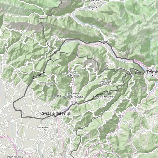
Náročná horská trasa s úchvatnými výhledy
Tato 106 km dlouhá trasa vás zavede z Povoletta až do Remanzacca. Projedete městy Faedis, Monte Spich, Stari grad, Ladra, Volče, Senica, Monte Cucco, Cravero / Kravar, Belvedere sul Natisone, Cividale del Friuli a nakonec dorazíte do Remanzacca, kde si užijete úchvatné výhledy a přírodní krásy okolní krajiny.
![Miniaturní mapa "Trasa Povoletto - Godia" inspirace pro cyklisty v oblasti Friuli-Venezia Giulia, Italy. Vytvořeno pomocí plánovače tras Tarmacs.app](https://images.tarmacs.app/cycling-routes/routemaps/600/italy/friuli-venezia-giulia/povoletto/gravel/120184.webp)
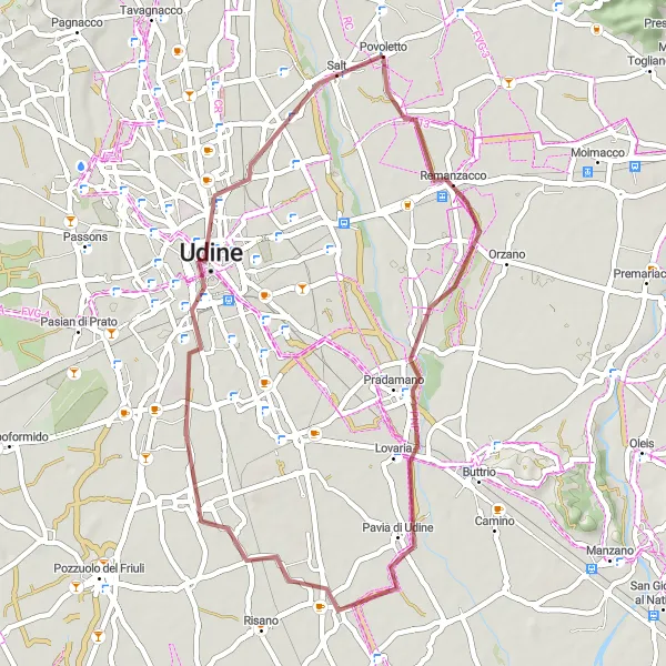
Zajímavá cyklistická exkurze zaměřená na přírodu
V 43 km dlouhé trase se vydáte po cestě z Povoletta až do Godie. Projedete městy Pavia di Udine, Udine a nakonec dorazíte do Godie, kde si užijete krásné výhledy na okolní krajinu.
![Miniaturní mapa "Road Cycling to Belvedere sul Natisone" inspirace pro cyklisty v oblasti Friuli-Venezia Giulia, Italy. Vytvořeno pomocí plánovače tras Tarmacs.app](https://images.tarmacs.app/cycling-routes/routemaps/600/italy/friuli-venezia-giulia/povoletto/road/120208.webp)
Cycle through the stunning landscapes to Belvedere sul Natisone
With a distance of 56 km and an ascent of 257m, this road route offers a scenic cycling experience near Povoletto. Explore the charming village of Belvedere sul Natisone and immerse yourself in its rich history and culture. The route is perfect for cyclists looking to combine leisurely riding with sightseeing adventures.
![Miniaturní mapa "Road to Cormons Challenge" inspirace pro cyklisty v oblasti Friuli-Venezia Giulia, Italy. Vytvořeno pomocí plánovače tras Tarmacs.app](https://images.tarmacs.app/cycling-routes/routemaps/600/italy/friuli-venezia-giulia/povoletto/road/120418.webp)
Conquer the challenging climbs and scenic descents on this road cycling route
This 78km road route will take you through the picturesque countryside of Friuli-Venezia Giulia, with highlights including the historic town of Povoletto and the charming village of Cormons. The route offers a mix of flat sections and challenging climbs, making it perfect for experienced road cyclists looking for a new adventure.
![Miniaturní mapa "Road Route Povoletto - Salt" inspirace pro cyklisty v oblasti Friuli-Venezia Giulia, Italy. Vytvořeno pomocí plánovače tras Tarmacs.app](https://images.tarmacs.app/cycling-routes/routemaps/600/italy/friuli-venezia-giulia/povoletto/road/120176.webp)
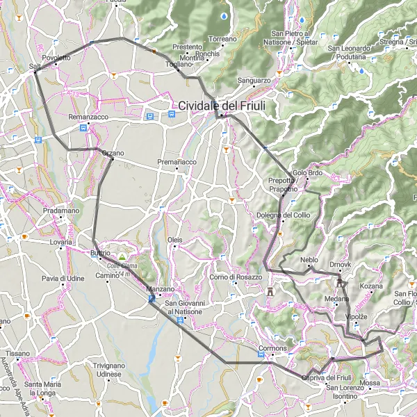
Náročná silniční trasa s malebnými výhledy
Tato 119 km dlouhá trasa vás zavede z Povoletta až do Salta. Projedete městy Premariacco, Romans d'Isonzo, Aquileia a nakonec dorazíte do Salta, kde si užijete krásné výhledy na okolní krajinu a historické památky.
![Miniaturní mapa "Gravel Bike Tour to Povoletto Highlights" inspirace pro cyklisty v oblasti Friuli-Venezia Giulia, Italy. Vytvořeno pomocí plánovače tras Tarmacs.app](https://images.tarmacs.app/cycling-routes/routemaps/600/italy/friuli-venezia-giulia/povoletto/gravel/148369.webp)
Explore the beautiful countryside near Povoletto on this gravel bike tour
Embark on a 37 km journey with 231 meters of ascent through picturesque landscapes. Discover charming villages and rolling hills along the way, making for a delightful cycling experience.
![Miniaturní mapa "Gravel cyklistická trasa od Povoletto" inspirace pro cyklisty v oblasti Friuli-Venezia Giulia, Italy. Vytvořeno pomocí plánovače tras Tarmacs.app](https://images.tarmacs.app/cycling-routes/routemaps/600/italy/friuli-venezia-giulia/povoletto/gravel/120244.webp)
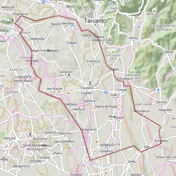
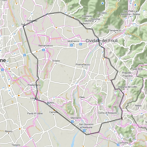
Zajímavá cyklistická trasa s malebným výhledem
Náročná cyklistická trasa ledovce s asfaltovými a štěrkovými cestami vede přes Tavagnacco, Treppo Grande, Monte di Buja až do Tarcento, kde se vrátíte zpět do Povoletto.
Trasa Udine - Godia
![Miniaturní mapa "Trasa Udine - Godia" inspirace pro cyklisty v oblasti Friuli-Venezia Giulia, Italy. Vytvořeno pomocí plánovače tras Tarmacs.app](https://images.tarmacs.app/cycling-routes/routemaps/600/italy/friuli-venezia-giulia/povoletto/gravel/120193.webp)
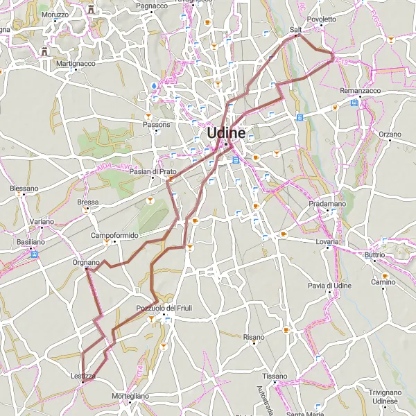
Překypující krajinná cesta plná malebných vesniček
Tato 55 km dlouhá trasa je ideální pro milovníky gravitací, kteří se chtějí vydat z Udine až do Godie. Po cestě projedete městy Pozzuolo del Friuli, Lestizza a Pasian di Prato, až nakonec dorazíte do Godie.
![Miniaturní mapa "Gravel Godia Loop" inspirace pro cyklisty v oblasti Friuli-Venezia Giulia, Italy. Vytvořeno pomocí plánovače tras Tarmacs.app](https://images.tarmacs.app/cycling-routes/routemaps/600/italy/friuli-venezia-giulia/povoletto/gravel/120241.webp)
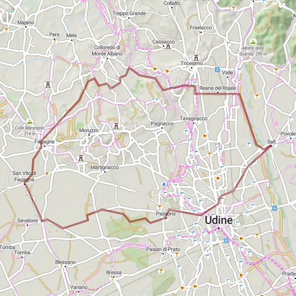
Explore the picturesque countryside on this challenging gravel route
This 51km gravel route will take you through the beautiful Friulian landscape, with highlights including the charming village of Godia and the stunning views along the way. The route offers a mix of flat sections and challenging climbs, making it perfect for experienced gravel riders looking for a new adventure.
Cyklotrasy v okolí:
![Obrázek Hermagor](https://images.tarmacs.app/cycling-routes/covers/austria/karnten/hermagor-3.webp)
![Obrázek Arnoldstein](https://images.tarmacs.app/cycling-routes/covers/austria/karnten/arnoldstein-5.webp)
![Obrázek Fürnitz](https://images.tarmacs.app/cycling-routes/covers/austria/karnten/fuernitz-4.webp)
![Obrázek Warmbad-Judendorf](https://images.tarmacs.app/cycling-routes/covers/austria/karnten/warmbad-judendorf-5.webp)
![Obrázek Auen](https://images.tarmacs.app/cycling-routes/covers/austria/karnten/auen-5.webp)
![Obrázek Völkendorf](https://images.tarmacs.app/cycling-routes/covers/austria/karnten/voelkendorf-4.webp)
![Obrázek St. Agathen und Perau](https://images.tarmacs.app/cycling-routes/covers/austria/karnten/st-agathen-und-perau-5.webp)
![Obrázek Untere Fellach](https://images.tarmacs.app/cycling-routes/covers/austria/karnten/untere-fellach-3.webp)
![Obrázek Villach](https://images.tarmacs.app/cycling-routes/covers/austria/karnten/villach-3.webp)
Okolní oblasti:
![Obrázek Burgenland](https://images.tarmacs.app/cycling-routes/covers/austria/burgenland/podersdorf-am-see-4.webp)
![Obrázek Niederösterreich](https://images.tarmacs.app/cycling-routes/covers/austria/niederosterreich/lassee-3.webp)
![Obrázek Kärnten](https://images.tarmacs.app/cycling-routes/covers/austria/karnten/velden-am-woerthersee-4.webp)
![Obrázek Steiermark](https://images.tarmacs.app/cycling-routes/covers/austria/steiermark/groebming-1.webp)
![Obrázek Salzburg](https://images.tarmacs.app/cycling-routes/covers/austria/salzburg/piesendorf-5.webp)
![Obrázek Tirol](https://images.tarmacs.app/cycling-routes/covers/austria/tirol/weissach-5.webp)
![Obrázek Vorarlberg](https://images.tarmacs.app/cycling-routes/covers/austria/vorarlberg/wolfurt-2.webp)
![Obrázek Jihozápad](https://images.tarmacs.app/cycling-routes/covers/czech-republic/jihozapad/tachov-1.webp)
![Obrázek Jadranska Hrvatska](https://images.tarmacs.app/cycling-routes/covers/croatia/jadranska-hrvatska/omisalj-4.webp)
![Obrázek Provincia Autonoma di Bolzano/Bozen](https://images.tarmacs.app/cycling-routes/covers/italy/provincia-autonoma-di-bolzano-bozen/gais-3.webp)
![Obrázek Provincia Autonoma di Trento](https://images.tarmacs.app/cycling-routes/covers/italy/provincia-autonoma-di-trento/mezzolombardo-1.webp)
![Obrázek Veneto](https://images.tarmacs.app/cycling-routes/covers/italy/veneto/zelarino-5.webp)
![Obrázek Vzhodna Slovenija](https://images.tarmacs.app/cycling-routes/covers/slovenia/vzhodna-slovenija/straza-3.webp)
![Obrázek Zahodna Slovenija](https://images.tarmacs.app/cycling-routes/covers/slovenia/zahodna-slovenija/dekani-5.webp)