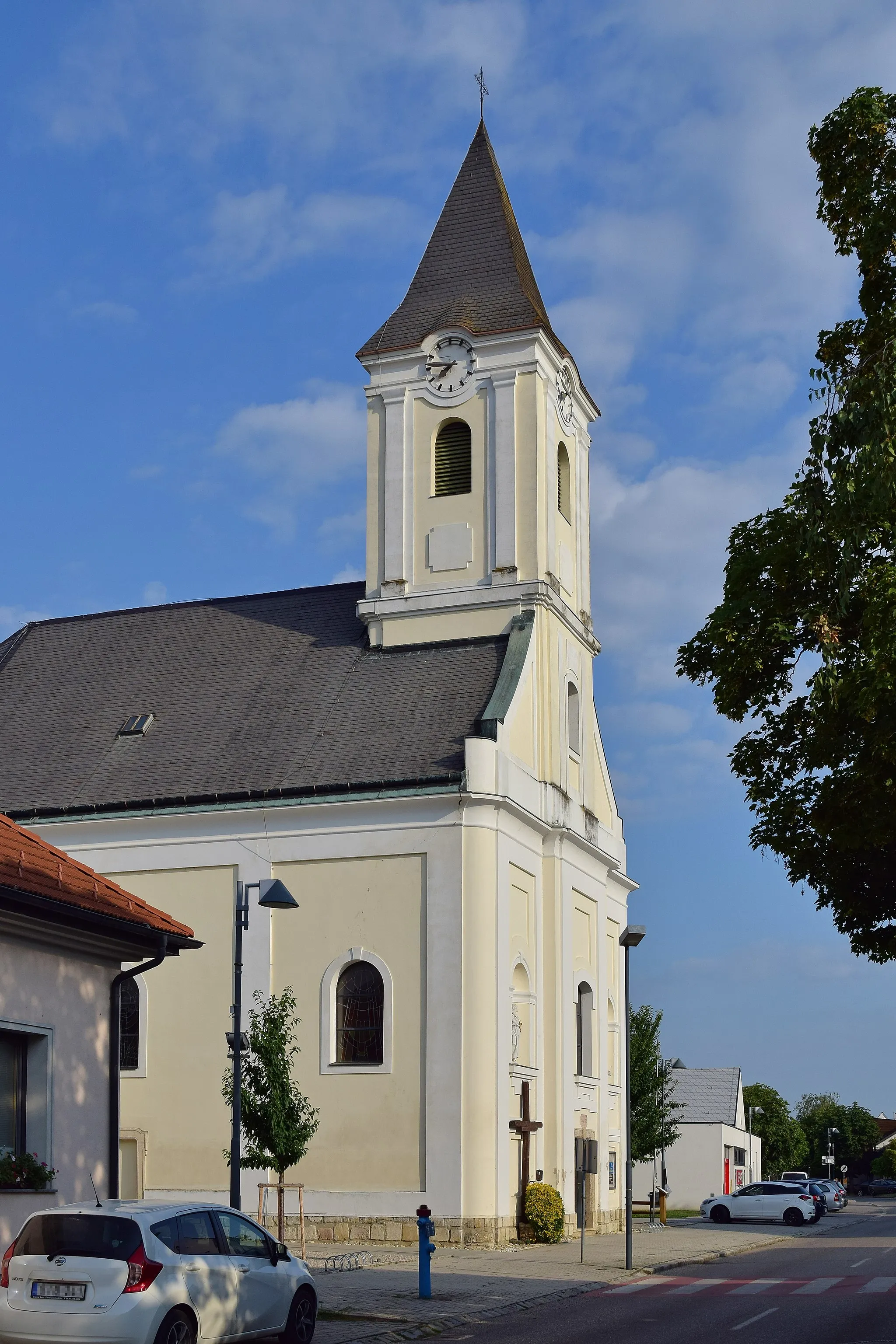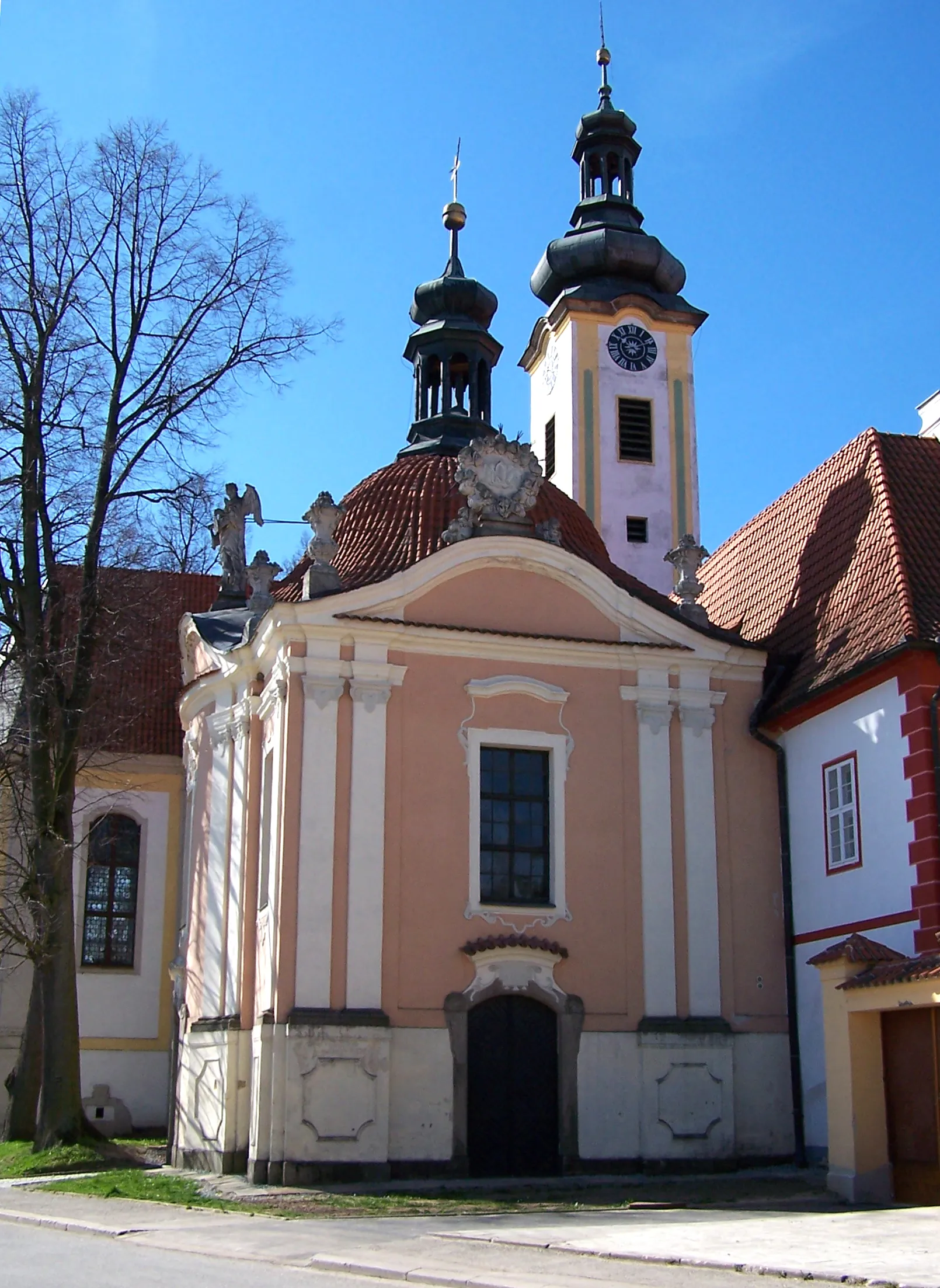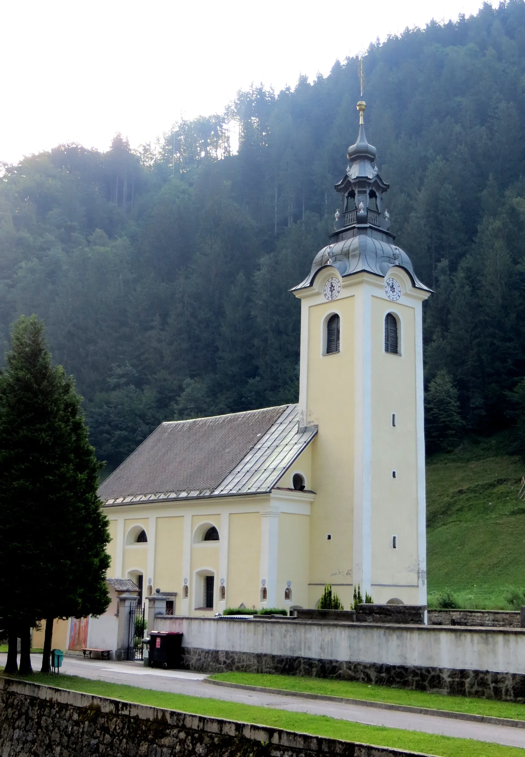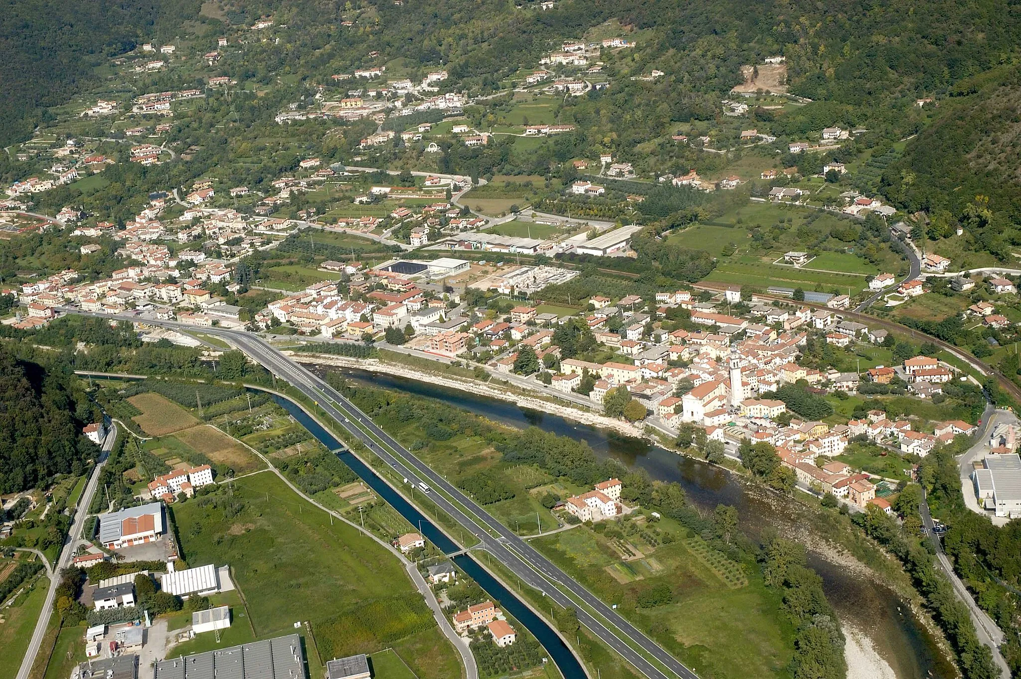
Malebná vesnice uprostřed přírody
Cyklistické trasy kolem Solagna
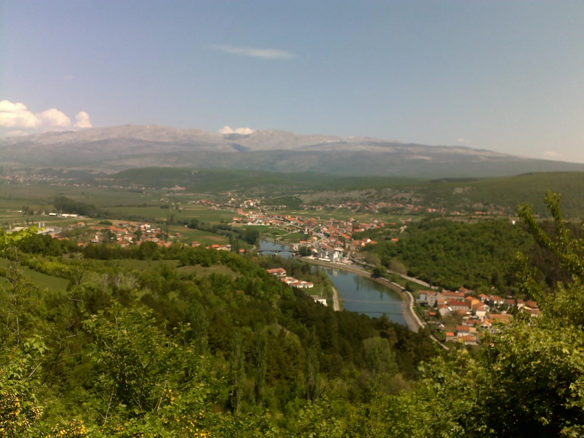
Solagna je malebná vesnice obklopená přírodou a kopcovitou krajinou. Cyklostezky v okolí jsou vhodné pro odpočinkové výlety i náročnější vyjížďky. Lokalita není známá pro žádná extrémní stoupání, ale cyklisté si zde užijí pěkné cesty a krásnou krajinu.
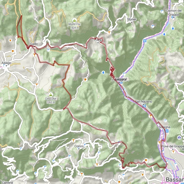
Embark on a thrilling gravel ride to explore the natural beauty of Monte Valbella
The route offers a mix of gravel paths and scenic views, with highlights including charming villages and natural landscapes. Cyclists can enjoy the tranquility of the countryside and the adrenaline of off-road cycling. A perfect choice for those seeking a unique and adventurous biking experience.
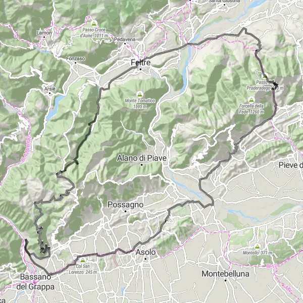
Test your limits on the challenging ascent of Monte Grappa
The route offers a tough climb with breathtaking views and a rewarding descent. The highlights include picturesque villages and historic sites along the way, making it a perfect blend of nature and culture. A must for experienced cyclists looking for a memorable adventure.
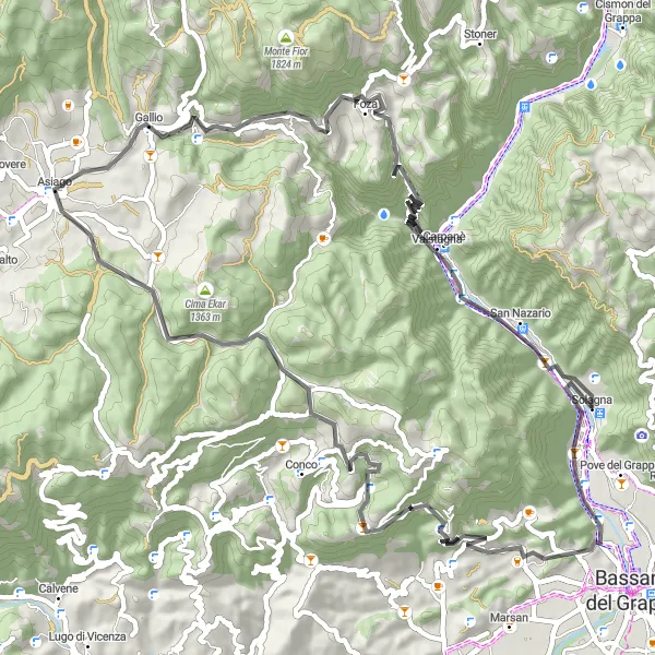
Road Campolongo Loop
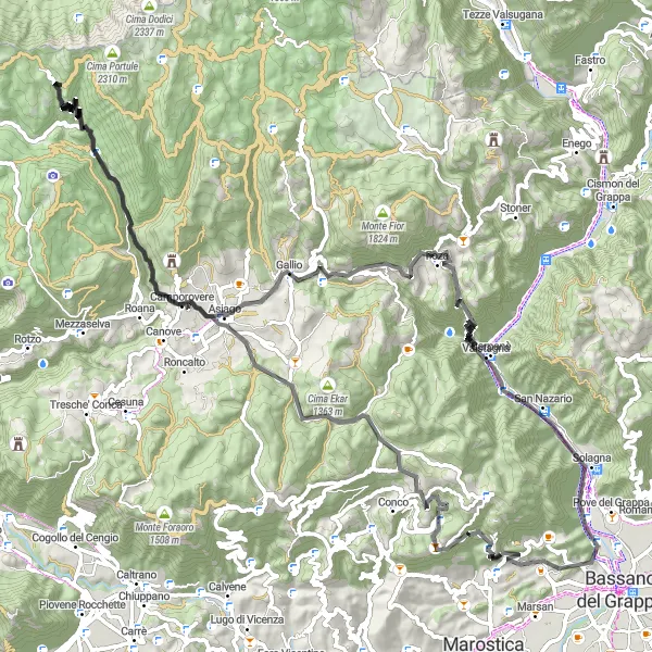
Scenic road route with challenging climbs and historical sites
Embark on this 106 km road loop with 2801 m of ascent, starting near Solagna. Highlights include the historic Campolongo sul Brenta and the picturesque Camporovere village. The route offers a mix of challenging climbs and fast descents through the beautiful Veneto countryside.
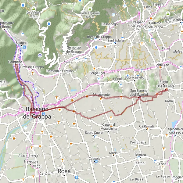
Krátká, malebná cesta kolem historických mostů a vesnic
Nechte se unést krásnou 36 km trasou s převýšením pouhých 148 m, projedete kolem historického Ponte degli Alpini a úchvatného Belvedere Terraglio. Vrchol trasy je u kouzelné vesnice Campolongo sul Brenta.
Projděte se malebnými vesničkami a objevte skryté poklady venkovské krajiny.
Tato 123 km dlouhá silniční trasa nabízí celkové převýšení 3236 metrů a vede kolem historických památek a úchvatných vyhlídek. Projetím této trasy se dostanete k malebným městečkům a poznáte skryté krásy Veneta.
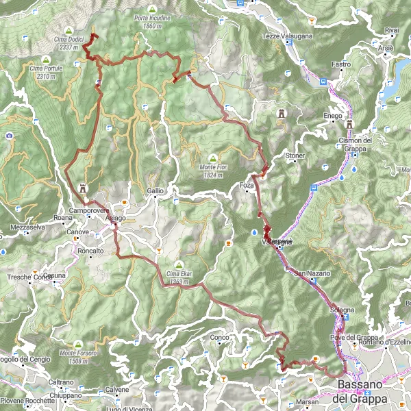
Gravel Monte Costa Loop
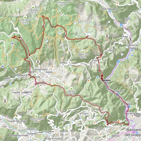
Scenic gravel route with challenging climbs and stunning views
Explore the rugged terrain around Solagna on this 119 km gravel loop with 3683 m of ascent. Highlights include the historic Monte Tondo and the picturesque Gavelle village. The route offers a mix of challenging climbs and rewarding descents through the beautiful Veneto countryside.
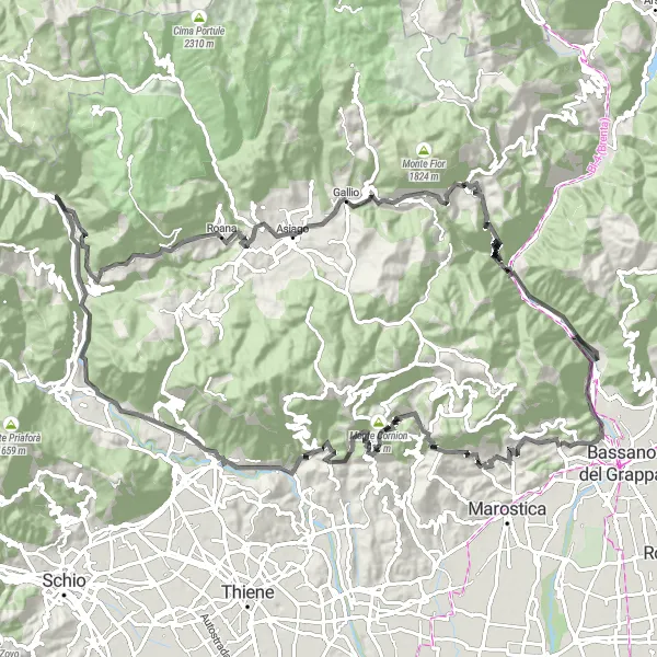
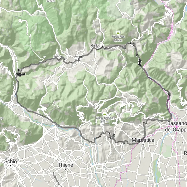
Scenic road route with challenging climbs and panoramic views
Experience the beauty of the Veneto region on this 72 km road circuit with 1834 m of ascent. Highlights include the picturesque town of Asiago and the challenging climb up Monte Ricco. The route offers a mix of flat sections and steep ascents, perfect for cyclists looking for a challenging ride with stunning views.
Adrenalínová jízda po hrbolatých cestách s překrásnými vodopády
Tato 107 km dlouhá trasa nabízí převýšení 3038 m a projíždíte kolem impozantního Monte Cogolin a krásného Monte Rasta. Cílem je úchvatný vodopád Cascata del Silan.
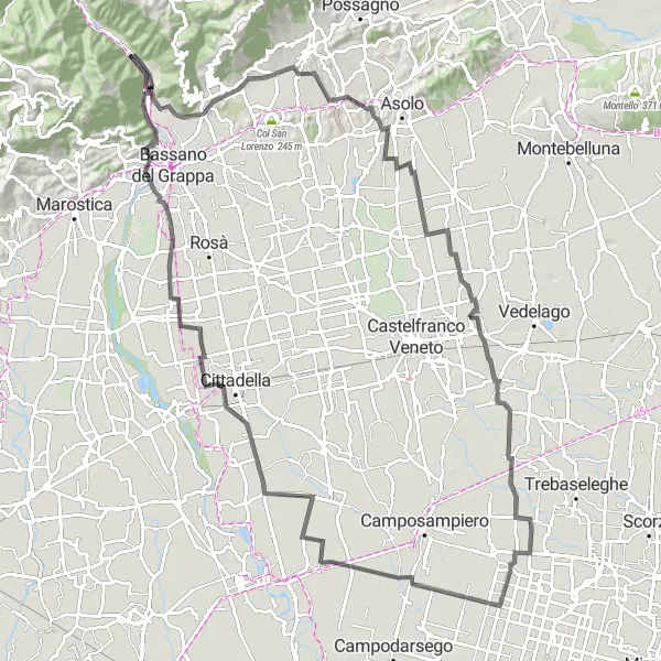
Smooth road route with historical landmarks and scenic vistas
Discover the beauty of the Veneto region on this 115 km road ride with 404 m of ascent. Highlights include the historic La Rocca castle and the charming Sant'Eulalia village. The route offers a mix of flat sections and rolling hills, perfect for leisurely cycling through the Italian countryside.
Náročná cyklostezka s nádhernými výhledy a malebnými vesnicemi
Tato trasa nabízí 114 km adrenalinového cyklování s celkovým převýšením 2824 m. Projedete kolem úchvatného Valle San Floriano a historického městečka Asiago.
Cyklotrasy v okolí:
Okolní oblasti: