![Cover image](https://images.tarmacs.app/cycling-routes/covers/slovenia/zahodna-slovenija/notranje-gorice-5.webp)
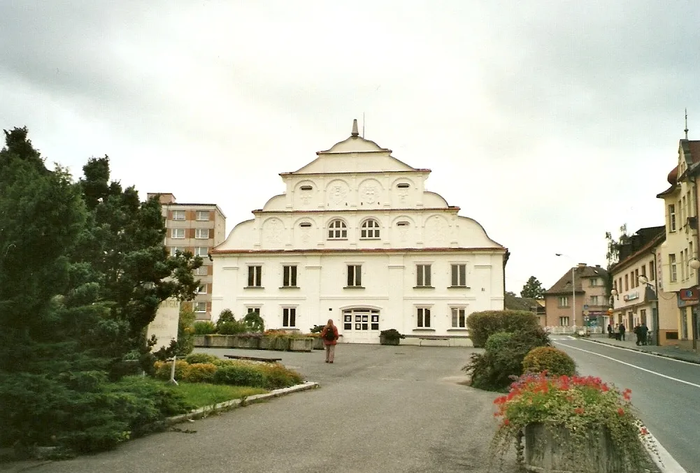
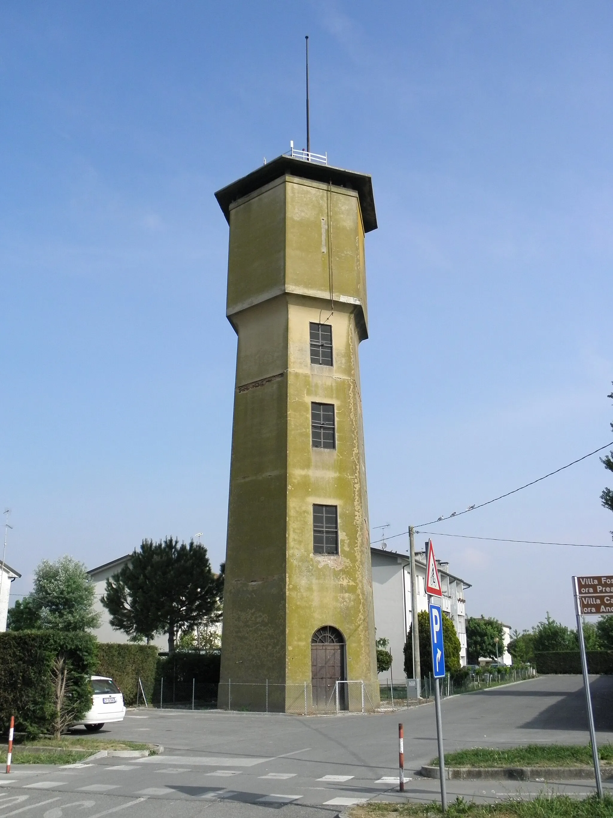
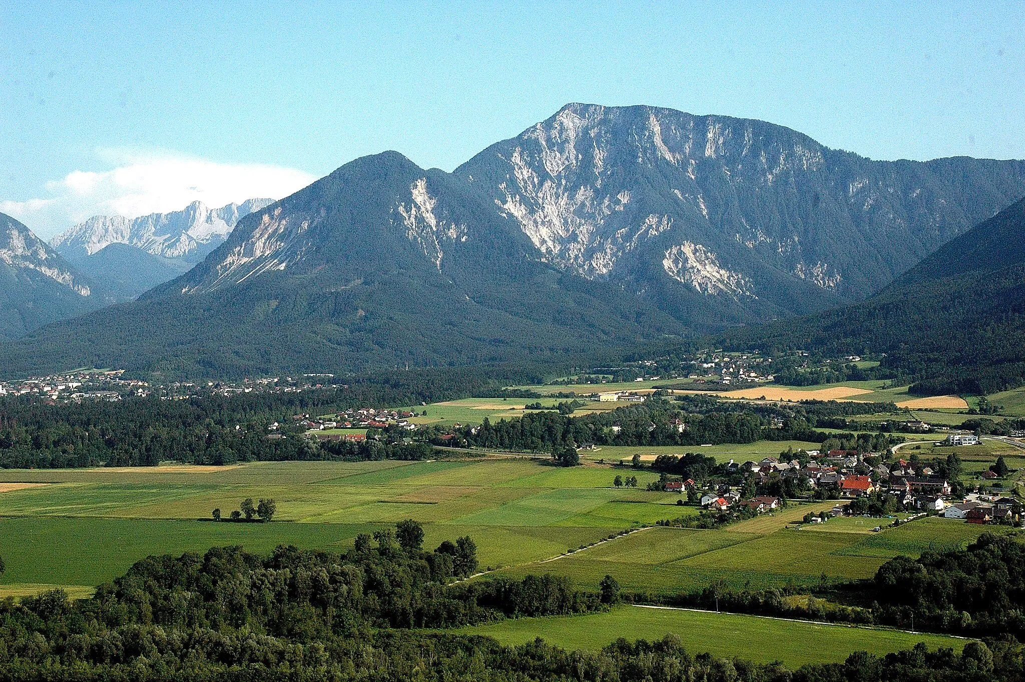
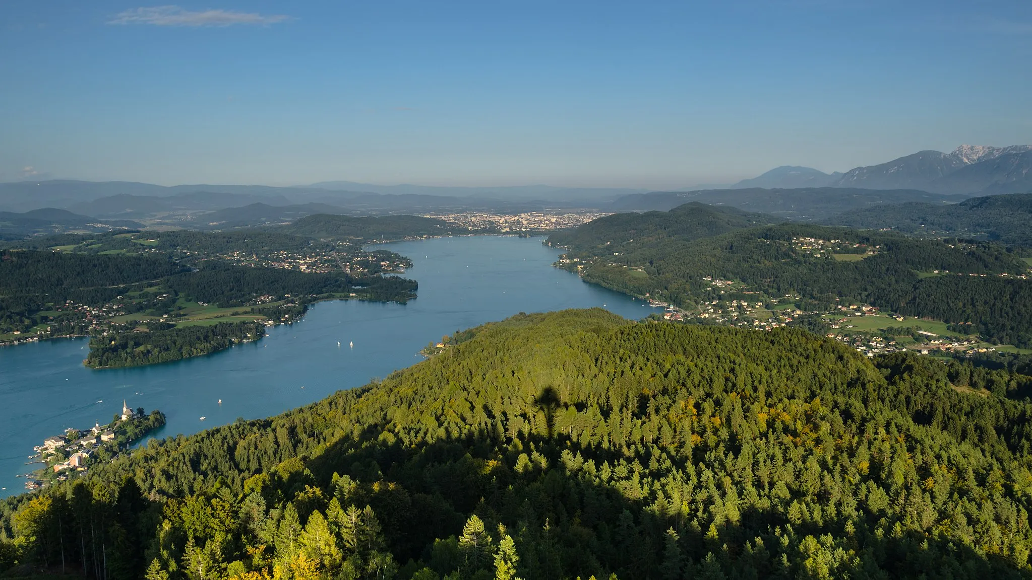
Malebná lokalita s klidnými trasami a příjemným prostředím pro cyklistiku.
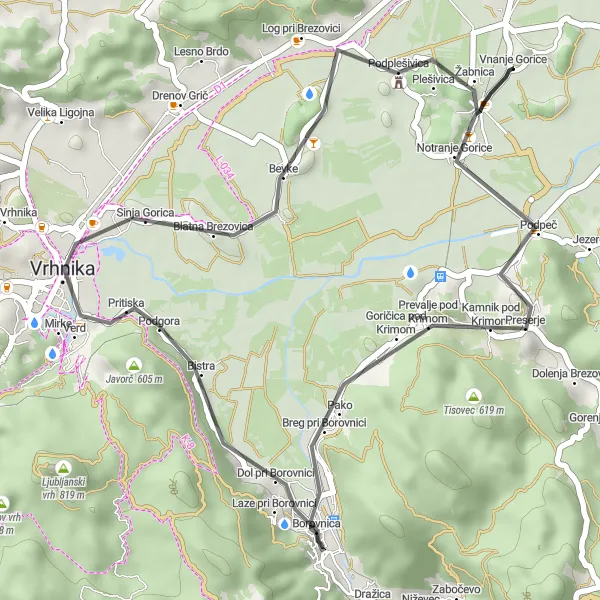
Cyklistické trasy kolem Notranje Gorice
Notranje Gorice jsou malebnou lokalitou s klidnými cyklistickými trasami a příjemným prostředím. Okolí je vhodné pro rodinné výlety i náročné tréninky na kole.
![Miniaturní mapa "Road route through Ljubljana outskirts" inspirace pro cyklisty v oblasti Zahodna Slovenija, Slovenia. Vytvořeno pomocí plánovače tras Tarmacs.app](https://images.tarmacs.app/cycling-routes/routemaps/600/slovenia/zahodna-slovenija/notranje-gorice/road/89794.webp)
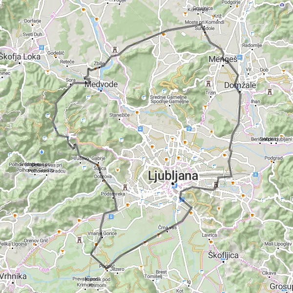
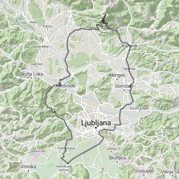
Explore the outskirts of Ljubljana on this scenic road route
This 81 km long road route takes you through the outskirts of Ljubljana, passing by charming villages and offering beautiful views of the surrounding countryside. The route includes a mix of flat sections and challenging climbs, making it suitable for cyclists of all levels. Highlights include the historic Ljubljana Castle and the peaceful village of Podpeč, offering a glimpse into the traditional Slovenian way of life.
![Miniaturní mapa "Pitoreskní silniční cyklotrasa kolem Notranjích Gorice" inspirace pro cyklisty v oblasti Zahodna Slovenija, Slovenia. Vytvořeno pomocí plánovače tras Tarmacs.app](https://images.tarmacs.app/cycling-routes/routemaps/600/slovenia/zahodna-slovenija/notranje-gorice/road/89755.webp)
Dopřejte si malebnou jízdu na 62 km dlouhé cykloceste
Tato 62 km dlouhá silniční cyklotrasa nabízí 1375 m stoupání a vede kolem krásných vesnic a historických památek. Cestou projedete kolem Bevek, Češnjevec a dalších zajímavých míst.
![Miniaturní mapa "Road Route to Brezovica pri Ljubljani" inspirace pro cyklisty v oblasti Zahodna Slovenija, Slovenia. Vytvořeno pomocí plánovače tras Tarmacs.app](https://images.tarmacs.app/cycling-routes/routemaps/600/slovenia/zahodna-slovenija/notranje-gorice/road/159540.webp)
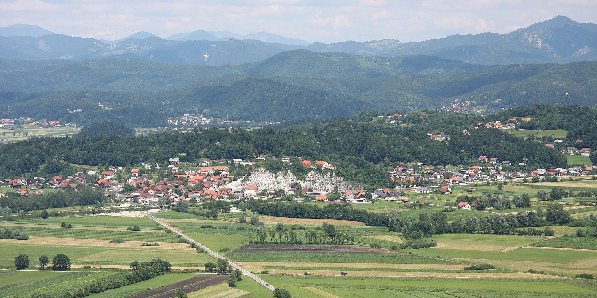
Discover the beauty of Brezovica pri Ljubljani on this road cycling adventure
Explore the charming town of Brezovica pri Ljubljani on this thrilling road route near Notranje Gorice. With a total ascent of 1851 meters over 123 kilometers, you'll pass through picturesque villages and scenic landscapes, soaking in the natural beauty of Zahodna Slovenija. Highlights like Grič, Cerklje na Gorenjskem, and Krvavec offer unique experiences and cultural insights, adding to the allure of this exciting journey. The route is perfect for road cycling enthusiasts looking to experience the diverse beauty of the Slovenian countryside.
![Miniaturní mapa "Gravel Route from Notranje Gorice" inspirace pro cyklisty v oblasti Zahodna Slovenija, Slovenia. Vytvořeno pomocí plánovače tras Tarmacs.app](https://images.tarmacs.app/cycling-routes/routemaps/600/slovenia/zahodna-slovenija/notranje-gorice/gravel/89780.webp)
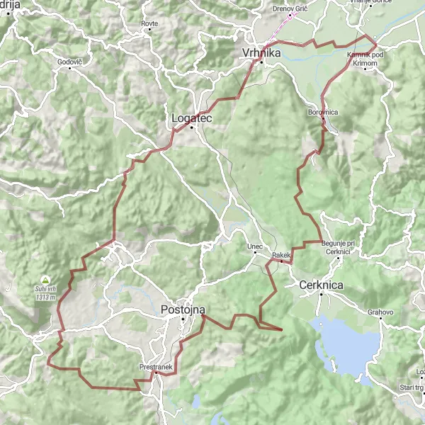
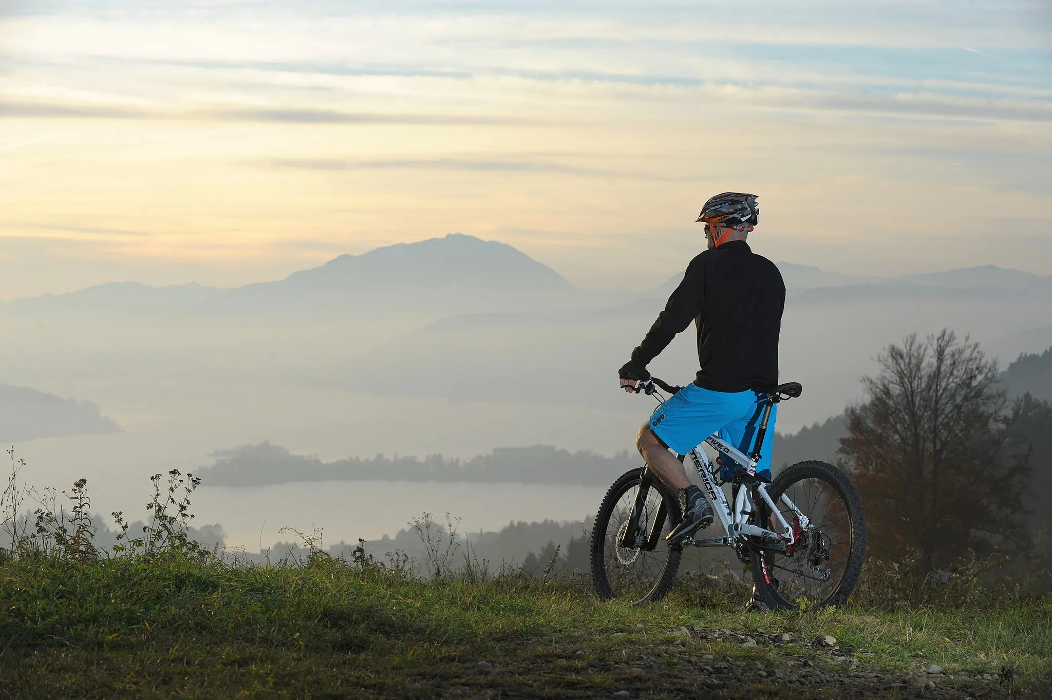
Explore the beautiful Slovenian countryside on this gravel route
This exciting gravel route near Notranje Gorice offers stunning views and challenging terrain. With a total ascent of 2121 meters over 122 kilometers, you'll pass through picturesque villages and lush forests along the way. Don't miss highlights like Borovnica, Rakek, and Bukovje, each offering unique charm and natural beauty. The route is perfect for gravel enthusiasts looking for a memorable cycling adventure in Zahodna Slovenija.
![Miniaturní mapa "Gravel route through the hills of West Slovenia" inspirace pro cyklisty v oblasti Zahodna Slovenija, Slovenia. Vytvořeno pomocí plánovače tras Tarmacs.app](https://images.tarmacs.app/cycling-routes/routemaps/600/slovenia/zahodna-slovenija/notranje-gorice/gravel/89752.webp)
Explore the charming countryside with this gravel route
This 93 km long gravel route takes you through the picturesque hills of West Slovenia, passing by quaint villages and offering stunning views along the way. The route includes challenging ascents and thrilling descents, making it perfect for adventurous cyclists looking for a scenic ride. Don't miss highlights like the historic town of Skofja Loka and the panoramic views from Gabrška gora.
![Miniaturní mapa "Cyklistická trasa plná dobrodružství kolem Notranjích Gorice" inspirace pro cyklisty v oblasti Zahodna Slovenija, Slovenia. Vytvořeno pomocí plánovače tras Tarmacs.app](https://images.tarmacs.app/cycling-routes/routemaps/600/slovenia/zahodna-slovenija/notranje-gorice/road/89729.webp)
Naplňte svůj den dobrodružstvím na 64 km dlouhé cyklocestě
Tato silniční cyklotrasa nabízí 1256 m stoupání a vede kolem malebných vesnic a zajímavých míst. Po cestě projedete kolem Roje, Mala Ligojna a dalších atraktivních lokalit.
![Miniaturní mapa "Náročná vyjížďka do přírody kolem Notranjích Gorice" inspirace pro cyklisty v oblasti Zahodna Slovenija, Slovenia. Vytvořeno pomocí plánovače tras Tarmacs.app](https://images.tarmacs.app/cycling-routes/routemaps/600/slovenia/zahodna-slovenija/notranje-gorice/gravel/89851.webp)
Užijte si výzvu na 112 km dlouhé cyklocestě plné krásných výhledů
Tato 112 km dlouhá gravelová cyklotrasa nabízí 2006 m stoupání a vede kolem nádherné přírody a zajímavých lokalit. Cestou projedete kolem Podpeči, Šešeru a dalších poutavých míst.
![Miniaturní mapa "Road Route from Notranje Gorice" inspirace pro cyklisty v oblasti Zahodna Slovenija, Slovenia. Vytvořeno pomocí plánovače tras Tarmacs.app](https://images.tarmacs.app/cycling-routes/routemaps/600/slovenia/zahodna-slovenija/notranje-gorice/road/89799.webp)
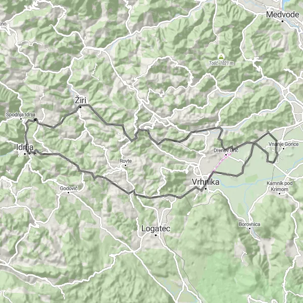
Embark on a thrilling road cycling adventure near Notranje Gorice
This exhilarating road route near Notranje Gorice offers breathtaking views and challenging terrain for cyclists of all levels. With a total ascent of 1924 meters over 93 kilometers, you'll pass through charming villages and scenic landscapes along the way. Highlights like Vrhnika, Češnjevec, and Ilovce add to the allure of this exciting journey, providing unique experiences and cultural insights. The route is ideal for road cycling enthusiasts looking to explore the diverse beauty of Zahodna Slovenija on two wheels.
![Miniaturní mapa "Scenic road route through Vrhnika valley" inspirace pro cyklisty v oblasti Zahodna Slovenija, Slovenia. Vytvořeno pomocí plánovače tras Tarmacs.app](https://images.tarmacs.app/cycling-routes/routemaps/600/slovenia/zahodna-slovenija/notranje-gorice/road/89750.webp)
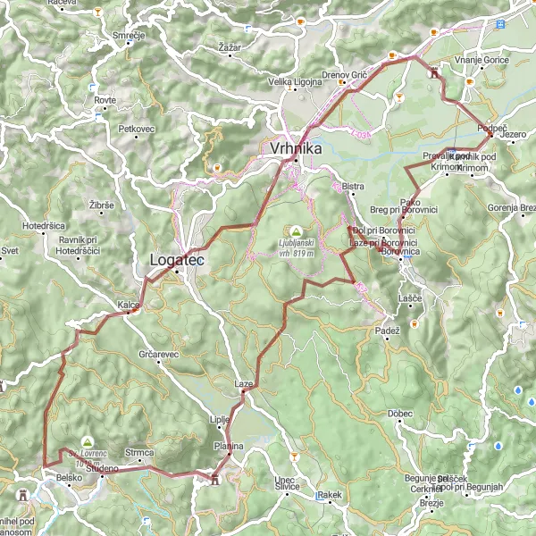
Enjoy the scenic views on this road route through the valley
This 38 km long road route takes you through the picturesque Vrhnika valley, offering stunning views of the surrounding countryside. The route includes gentle climbs and descents, making it suitable for cyclists looking for a leisurely ride. Highlights include the historic village of Vrhnika and the charming countryside of Žabnica, making it a perfect choice for a relaxing cycling experience.
![Miniaturní mapa "Zajímavá cyklotrasa okolo Notranjích Gorice (Západní Slovinsko)" inspirace pro cyklisty v oblasti Zahodna Slovenija, Slovenia. Vytvořeno pomocí plánovače tras Tarmacs.app](https://images.tarmacs.app/cycling-routes/routemaps/600/slovenia/zahodna-slovenija/notranje-gorice/gravel/89728.webp)
Krátká ale poutavá trasová cyklocesta
Tato 83 km dlouhá cyklotrasa nabízí 1362 m stoupání a vede kolem malebných vesniček a krásné přírody. Cestou projedete kolem Svatého Josefa, Borovnice a dalších atraktivních míst.
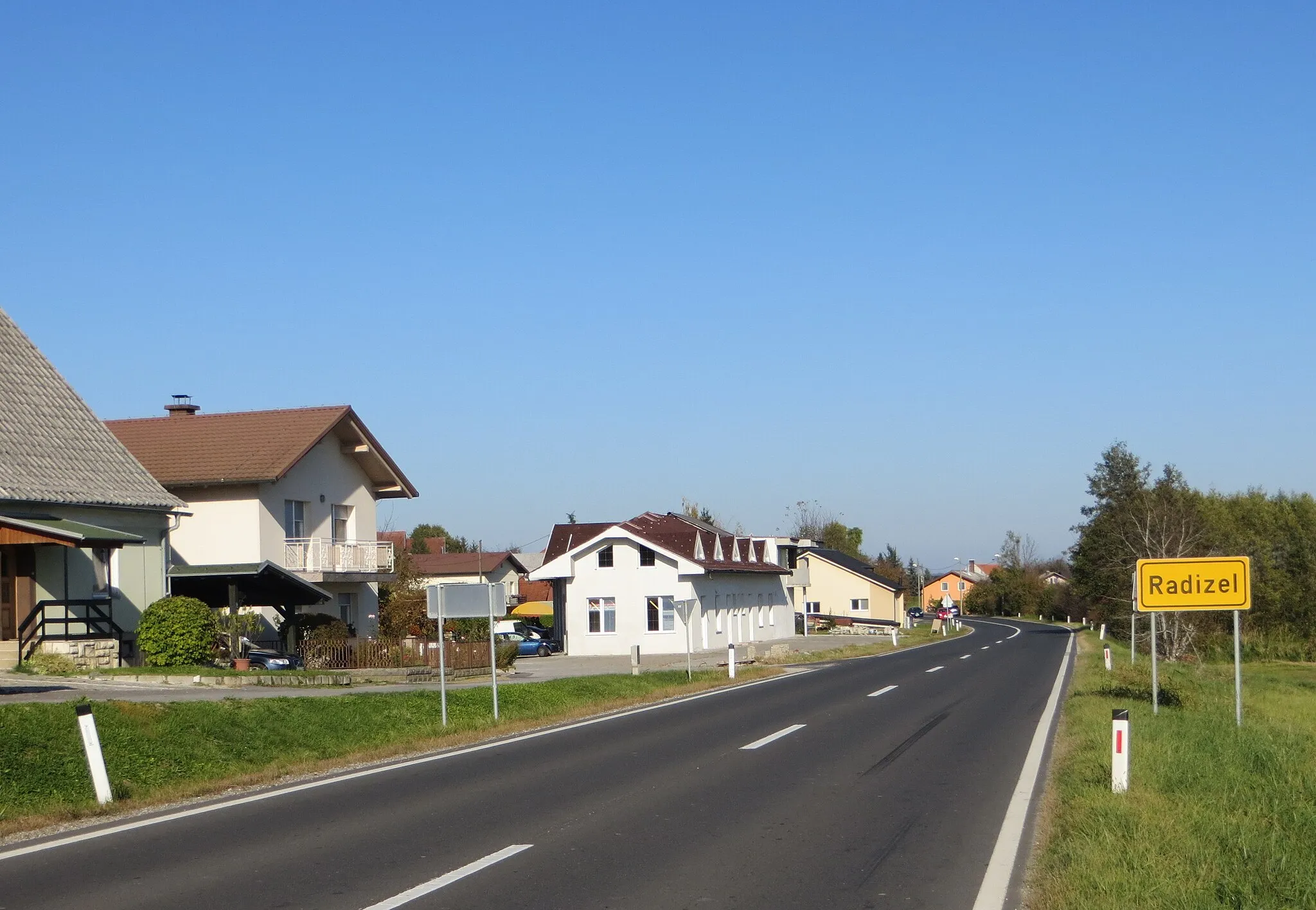
Cyklotrasy v okolí:
![Obrázek Ferlach](https://images.tarmacs.app/cycling-routes/covers/austria/karnten/ferlach-4.webp)
![Obrázek Viktring](https://images.tarmacs.app/cycling-routes/covers/austria/karnten/viktring-5.webp)
![Obrázek Viktringer Vorstadt](https://images.tarmacs.app/cycling-routes/covers/austria/karnten/viktringer-vorstadt-5.webp)
![Obrázek Klagenfurt am Wörthersee](https://images.tarmacs.app/cycling-routes/covers/austria/karnten/klagenfurt-am-woerthersee-5.webp)
![Obrázek Villacher Vorstadt](https://images.tarmacs.app/cycling-routes/covers/austria/karnten/villacher-vorstadt-5.webp)
![Obrázek Hörtendorf](https://images.tarmacs.app/cycling-routes/covers/austria/karnten/hoertendorf-5.webp)
![Obrázek St. Veiter Vorstadt](https://images.tarmacs.app/cycling-routes/covers/austria/karnten/st-veiter-vorstadt-5.webp)
![Obrázek Krumpendorf](https://images.tarmacs.app/cycling-routes/covers/austria/karnten/krumpendorf-4.webp)
![Obrázek Kühnsdorf](https://images.tarmacs.app/cycling-routes/covers/austria/karnten/kuehnsdorf-3.webp)
Okolní oblasti:
![Obrázek Burgenland](https://images.tarmacs.app/cycling-routes/covers/austria/burgenland/neusiedl-am-see-5.webp)
![Obrázek Niederösterreich](https://images.tarmacs.app/cycling-routes/covers/austria/niederosterreich/rannersdorf-5.webp)
![Obrázek Vídeň](https://images.tarmacs.app/cycling-routes/covers/austria/wien/meidling-5.webp)
![Obrázek Kärnten](https://images.tarmacs.app/cycling-routes/covers/austria/karnten/sankt-leonhard-1.webp)
![Obrázek Steiermark](https://images.tarmacs.app/cycling-routes/covers/austria/steiermark/ries-4.webp)
![Obrázek Oberösterreich](https://images.tarmacs.app/cycling-routes/covers/austria/oberosterreich/bad-goisern-4.webp)
![Obrázek Salzburg](https://images.tarmacs.app/cycling-routes/covers/austria/salzburg/golling-an-der-salzach-4.webp)
![Obrázek Tirol](https://images.tarmacs.app/cycling-routes/covers/austria/tirol/arzl-im-pitztal-3.webp)
![Obrázek Jihozápad](https://images.tarmacs.app/cycling-routes/covers/czech-republic/jihozapad/nyrsko-2.webp)
![Obrázek Panonska Hrvatska](https://images.tarmacs.app/cycling-routes/covers/croatia/panonska-hrvatska/pleternica-4.webp)
![Obrázek Jadranska Hrvatska](https://images.tarmacs.app/cycling-routes/covers/croatia/jadranska-hrvatska/sveti-filip-i-jakov-5.webp)
![Obrázek Sjeverna Hrvatska](https://images.tarmacs.app/cycling-routes/covers/croatia/sjeverna-hrvatska/cakovec-2.webp)
![Obrázek Veneto](https://images.tarmacs.app/cycling-routes/covers/italy/veneto/pontecchio-polesine-5.webp)
![Obrázek Friuli-Venezia Giulia](https://images.tarmacs.app/cycling-routes/covers/italy/friuli-venezia-giulia/staranzano-5.webp)
![Obrázek Vzhodna Slovenija](https://images.tarmacs.app/cycling-routes/covers/slovenia/vzhodna-slovenija/radizel-2.webp)