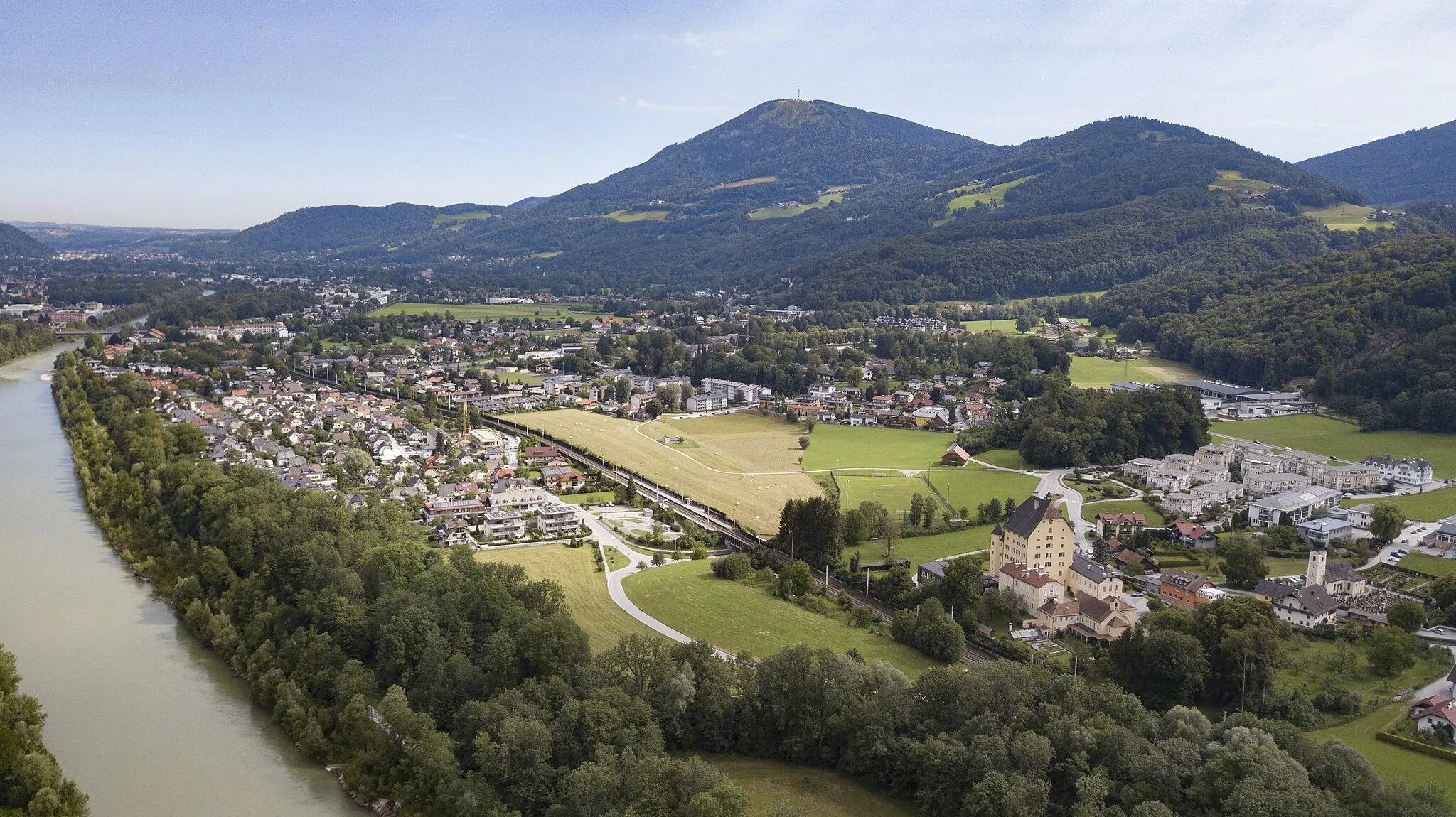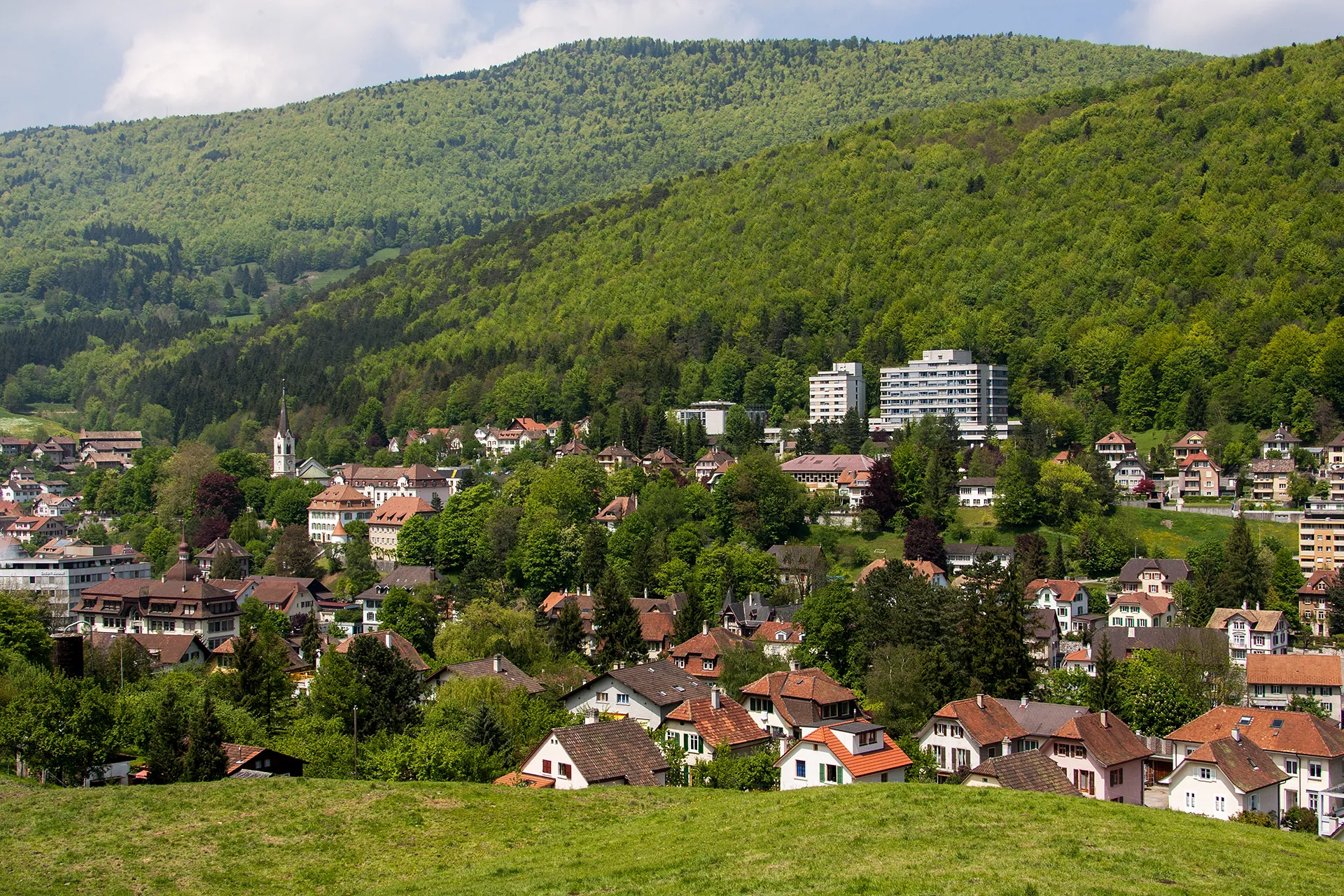
Malebné město s krásnými výhledy.
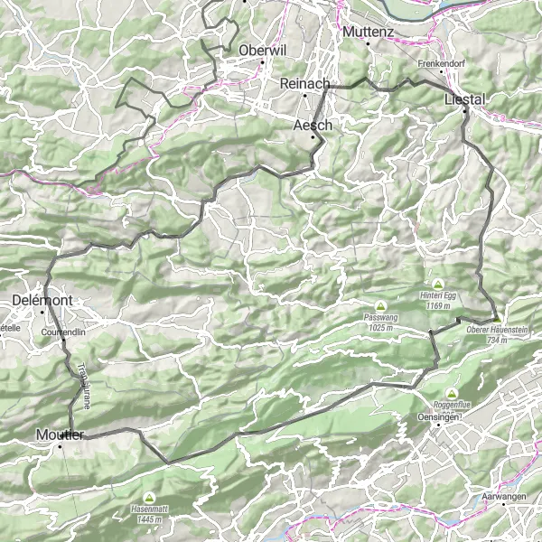
Cyklistické trasy kolem Moutier
Moutier je malebné městečko vhodné pro cyklistiku v Espace Mittelland ve Švýcarsku. Okolní kopce a údolí poskytují krásné scenerie pro cyklistické výlety.
Explore the beautiful landscapes on this scenic road cycling tour around Moutier.
Cycle through charming villages and lush countryside on this 111 km road route, with a total ascent of 1796 meters. Discover the Plateau d'observation, the historic town of Delémont, and the picturesque Landsberg. The route also takes you through Laufen, Arlesheim, and Horn before finishing in Balsthal.
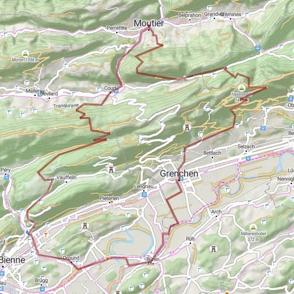
Gravel Belprahon Loop
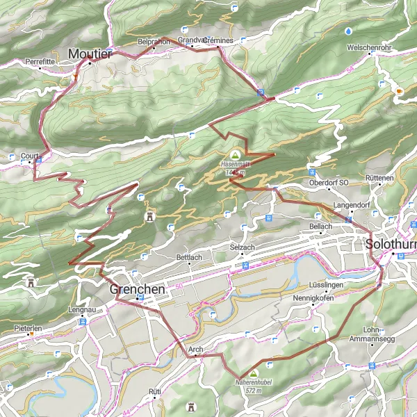
Explore the hilly terrain with beautiful views on this challenging gravel route
Tato trasa vede převážně z kopce s několika náročnými stoupáními a sjezdy. Projedete malebnou krajinou s výhledy na Belprahon a okolí. Trasa nabízí skvělý terén pro cyklisty hledající výzvu a krásné výhledy.
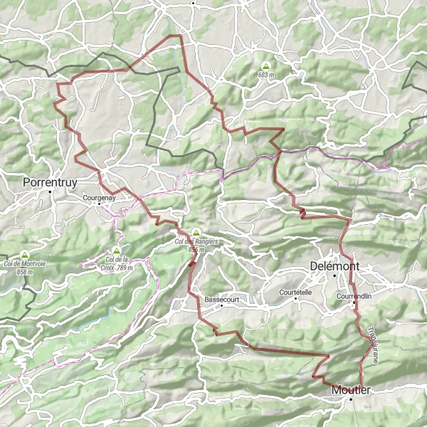
Explore the rugged terrain around Moutier on this challenging gravel route.
Journey through picturesque villages and lush forests as you climb over 2500 meters in elevation on this 103 km long gravel route. Experience the solitude of Soulce, the stunning views from Col des Rangiers, and the quaint charm of Cornol. The route also takes you through Pfetterhouse and Oberlarg before finishing in Moutier.
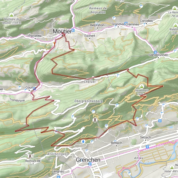
Experience an exciting short gravel adventure around Moutier.
This 53 km gravel route offers a thrilling ride with a total ascent of 2225 meters. Explore the Chaluet area, climb over Oberdörferberg, and enjoy the stunning views from Hasenmatt. The route also passes by the Ruine Schauenburg before finishing in Moutier.
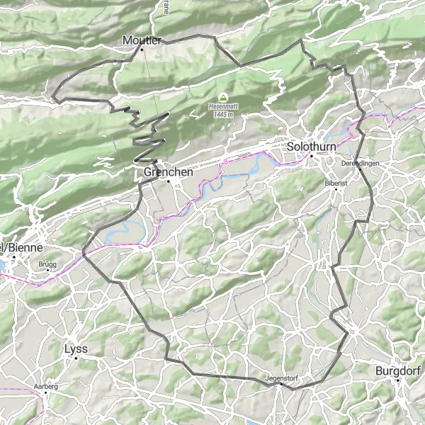
Embark on a long road cycling journey through picturesque landscapes and charming villages
Tato trasa vás provede malebnou krajinou s několika prudkými stoupáními a dlouhými rovinatými úseky. Projeté vesnice jako Attiswil a Herzogenbuchsee dodají zážitku autentičnost a atmosféru švýcarského venkova. Trasa je vhodná pro cyklisty hledající dlouhé výlety s různorodým terénem.
Vydejte se na dobrodružnou cyklistickou cestu s mnoha výšlapů v okolí Moutier.
Tato 75 km dlouhá trasa nabízí nádherné výhledy na vrcholky jako Chaluet, Hasenmatt a Mont Girod. Projedete také kolem historických památek, jako je hrad Schlosshubel a město Büren. S náročnými 2275 m stoupání tato trasa určitě potěší zkušené cyklisty.
Embark on an exhilarating road ride to the picturesque Mont Girod.
This 122 km road route offers a mix of challenging climbs and scenic descents, with a total ascent of 2329 meters. Discover the Pavillon des Golats, the charming village of Belprahon, and the breathtaking views from Balmfluechöpfli. The route also passes through Dittiberg, Aefligen, and Jegenstorf before reaching Mont Girod.
Projedete krásnou 48 km dlouhou trasu s 1043 m stoupáním v oblasti Espace Mittelland.
Tato silniční trasa je vhodná pro středně pokročilé cyklisty, kteří chtějí objevit krásy okolí. Projedete kolem Perrefitte, Les Bâmattes a Bassecourt. S příjemnými 48 km délky a 1043 m stoupání si užijete nádherný výlet po malebné krajiny.
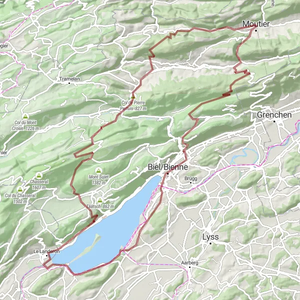
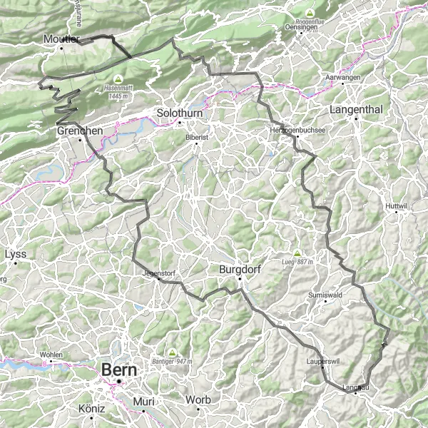
Vydejte se na dobrodružnou 110 km trasu plnou nádherných výhledů a přírodních krás.
Tato trasa představuje skvělou možnost pro zkušené cyklisty, kteří hledají výzvu. S 2908 m stoupání a 110 km délkou projedete malebnými lokalitami jako Mont Girod, Court a Biel/Bienne. Užijete si svěží vzduch a krásnou krajinu Espace Mittelland.
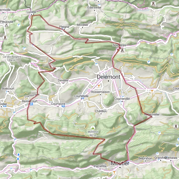
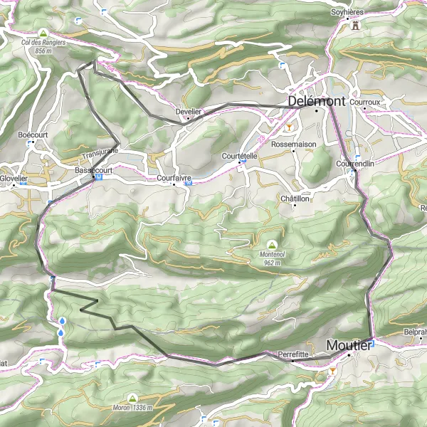
Projetím tuto 65 km dlouhou trasu objevíte krásy krajiny Espace Mittelland.
Trasa nabízí pohledy na Montenol, Soulce a Bourrignon. Projedete kolem malebných vesnic jako La Joux a Soyhières. S 1924 m stoupání je tato trasa výzvou pro středně zkušené cyklisty, kteří si chtějí užít nádhernou přírodu.
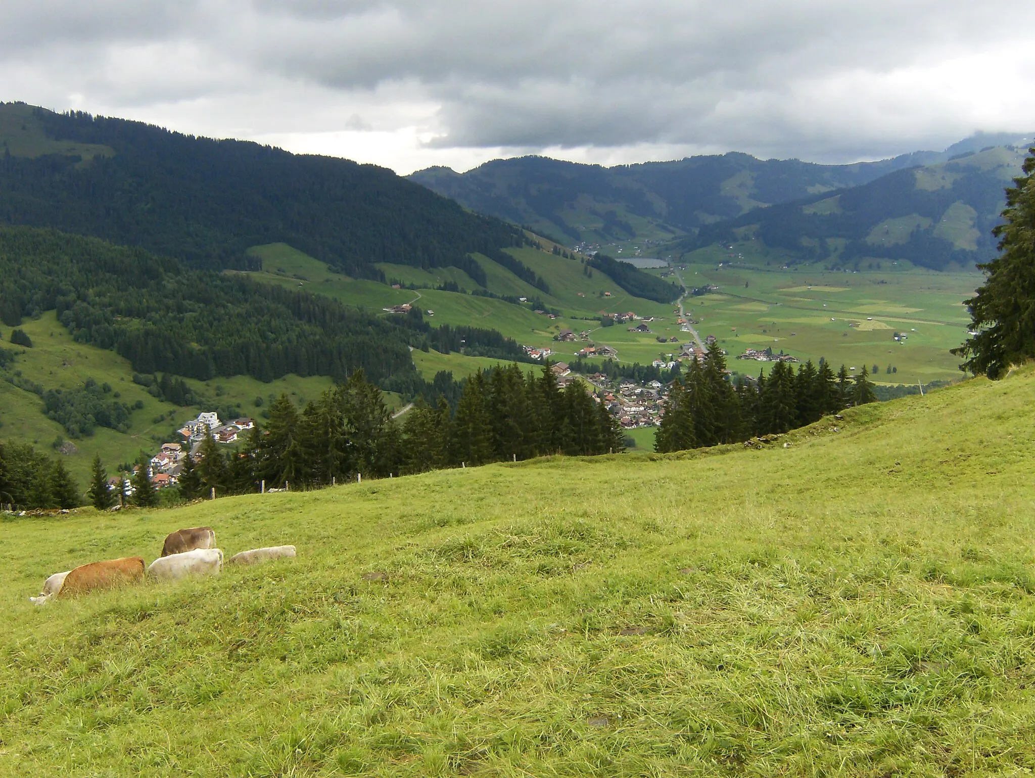
Cyklotrasy v okolí:
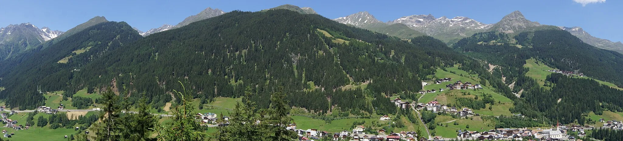
Okolní oblasti: