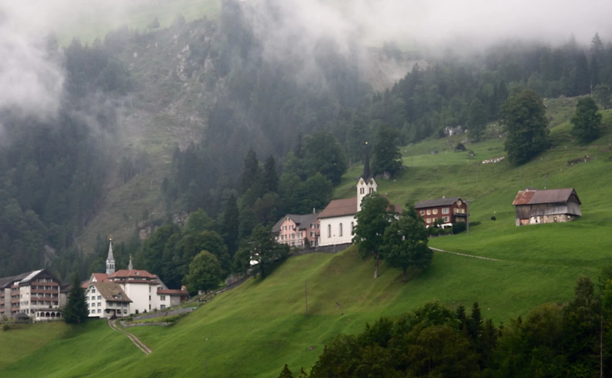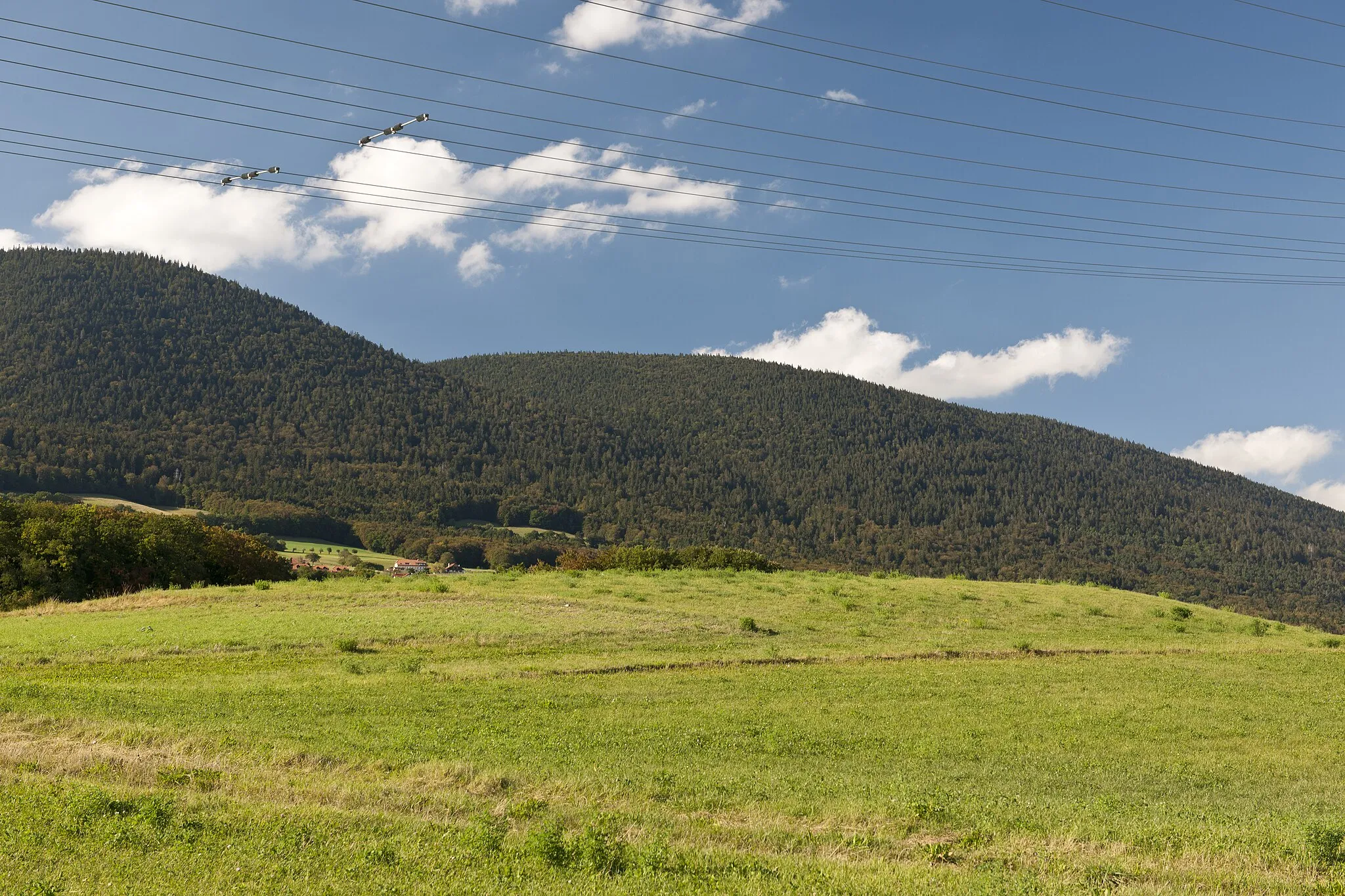
Přírodní ráj pro cyklisty v oblasti středního Švýcarska.
Cyklistické trasy kolem Saint-Aubin-Sauges
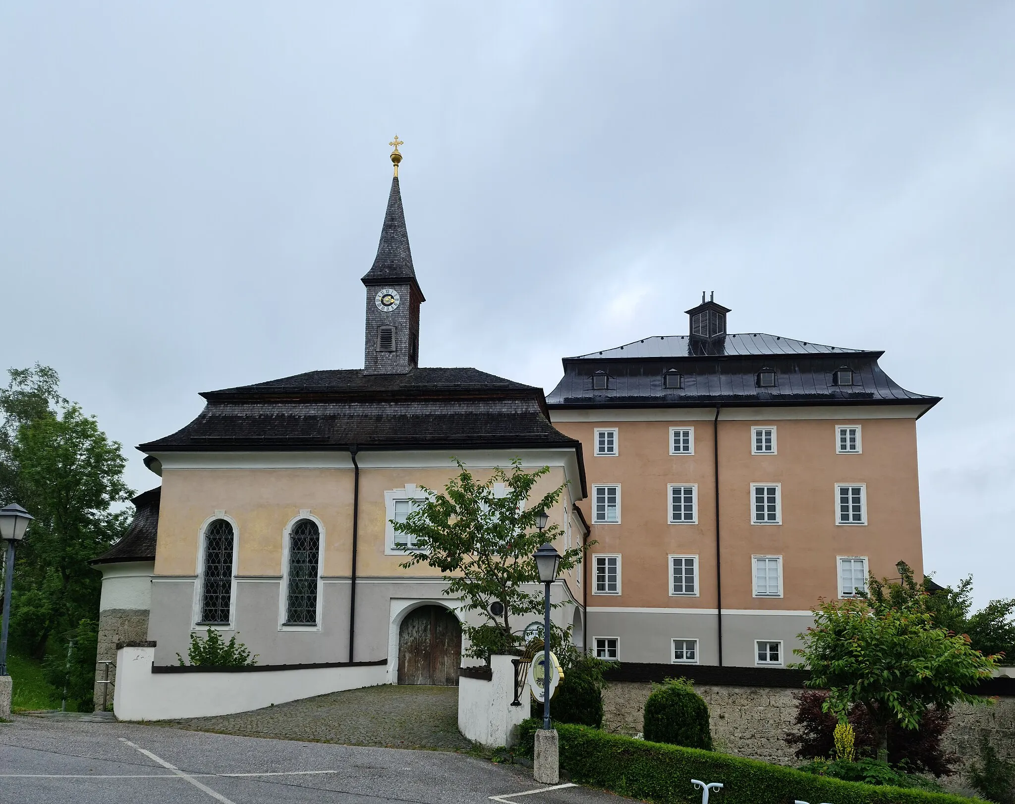
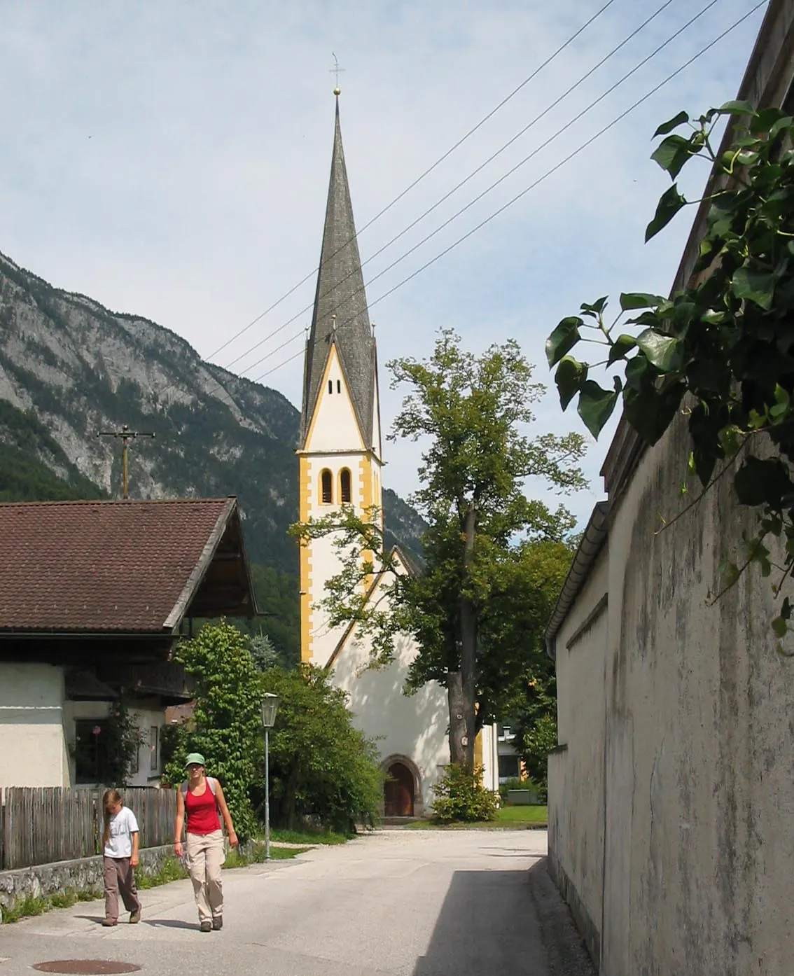
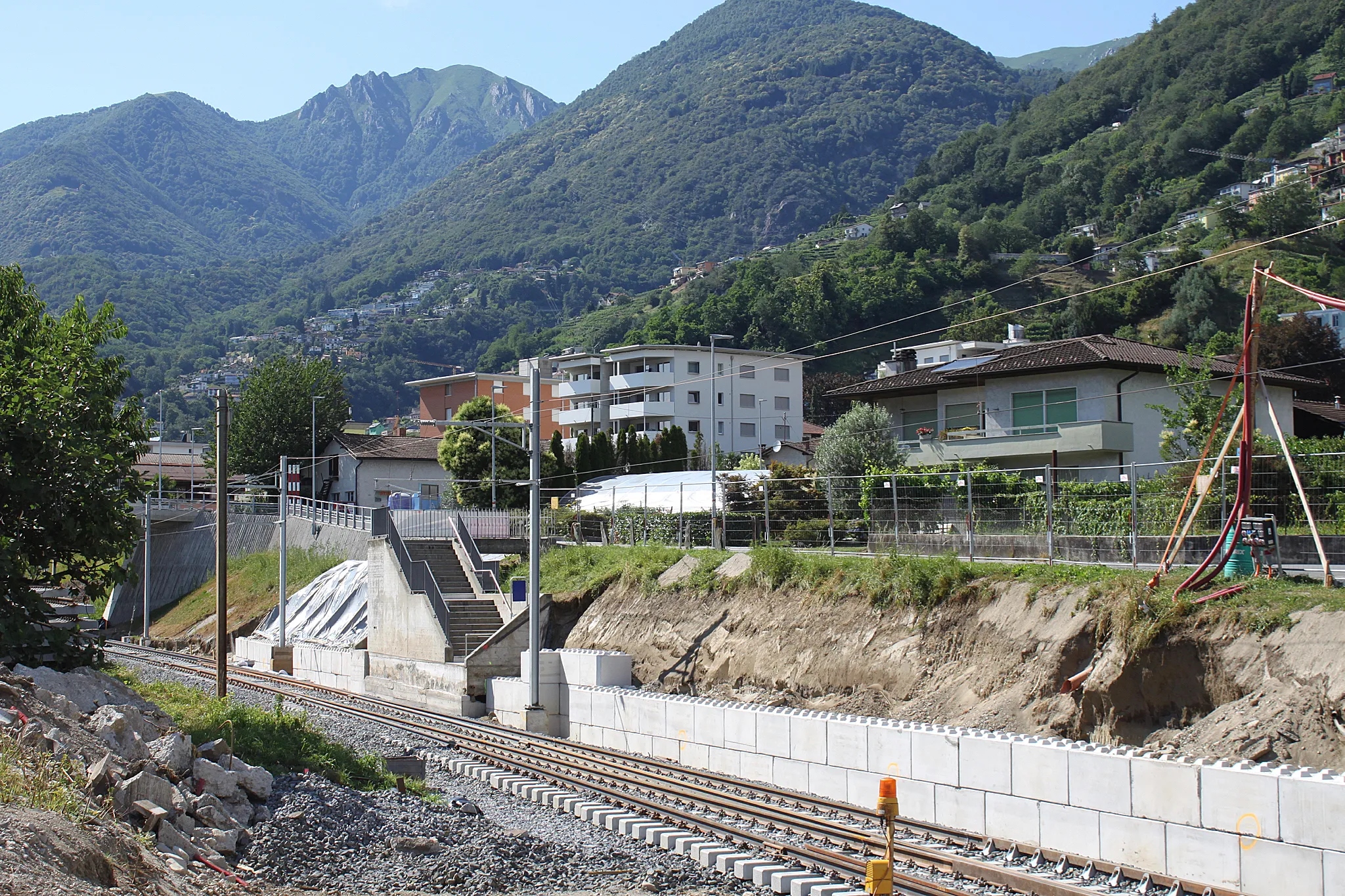
Saint-Aubin-Sauges v oblasti Espace Mittelland je vyhledávaným místem pro cyklistiku díky své malebné krajině a nedotčené přírodě. Zdejší cyklistické stezky nabízejí různorodé terény a výzvy pro jak silniční tak gravelové cyklisty.
Kopcům naproti
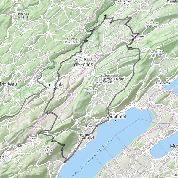
Cyklotrasa se stoupáním 3365 m a délkou 131 km
Tato trasa je určena pro zkušené cyklisty, kteří si rádi užijí výzvy a krásné výhledy na kopce a údolí švýcarské krajiny. Během cesty navštívíte několik malebných vesnic a historických památek, které obohatí vaší cestu.
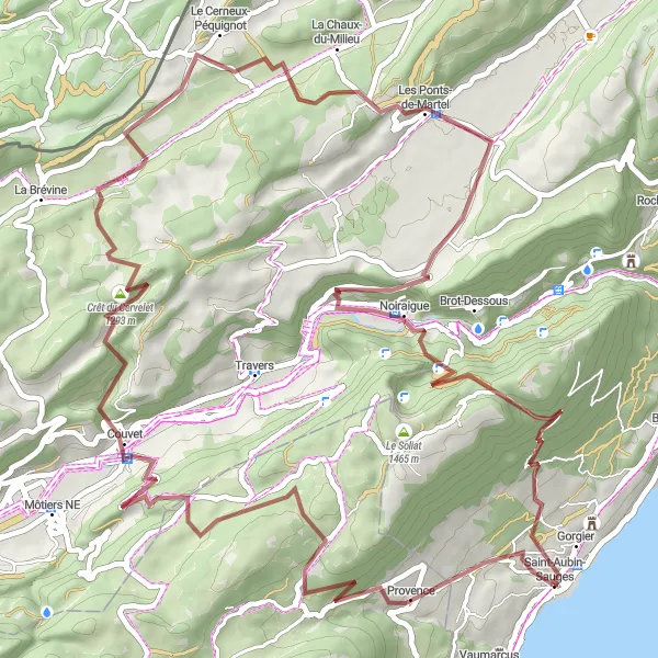
Historické cesty
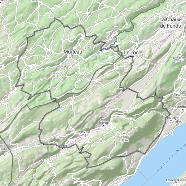
Trasa s výjezdem 3216 m a délkou 133 km
Tato trasa vás provede historickými cestami a památkami Espace Mittelland, které nabízejí pohled do minulosti a krásné výhledy do okolí. Cestou si můžete vychutnat autentickou atmosféru malebných vesnic a poznat historii tohoto úžasného regionu.
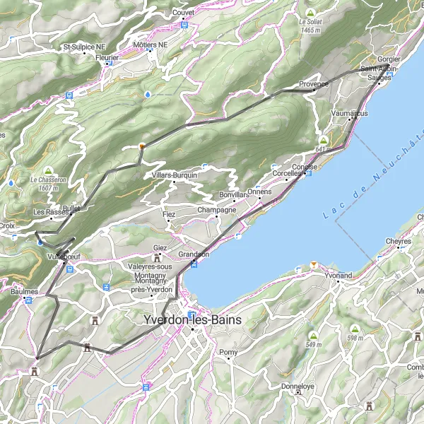
Cyklo trasa se stoupáním 1156 m a délkou 68 km
Tato trasa nabízí pohodlnou jízdu po malebných vinicích Espace Mittelland s možností ochutnat místní víno a poznat kulturu tohoto regionu. Cestou budete mít příležitost navštívit několik historických památek a malebných vesnic.
Road: Bonvillars Circuit
Exciting road journey featuring Col des Etroits
Experience a thrilling 121 km road cycling route near Saint-Aubin-Sauges with a total ascent of 3136m. Highlights include Bonvillars, La Côte-aux-Fées, and Le Soliat. Enjoy the smooth roads and captivating scenery along this road circuit, perfect for road cycling enthusiasts.
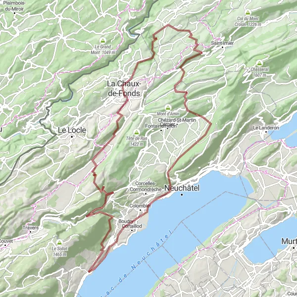
Gravel na Creux-du-Van
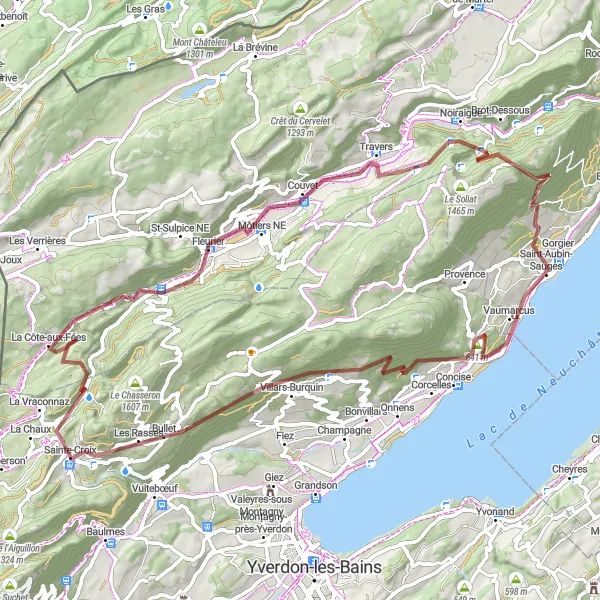
Gravelová trasa s výjezdem 2186 m a délkou 76 km
Jedná se o krásnou trasu pro gravel, která vede k ikonickému Creux-du-Van s úžasnými výhledy na okolní krajinu. Cestou budete mít možnost obdivovat mnoho malebných vesnic a přírodních scenérií.
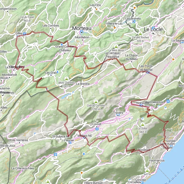
67 km trasa s malebnými výhledy a typickou švýcarskou atmosférou
Tato trasa nabízí 2248 m stoupání a prochází Montalchez, Couvet, Crêt du Cervelet, La Chaux-du-Milieu, Brot-Dessus, Signal du Lessy a končí v Gorgier.
Gravel kolem Baulmes
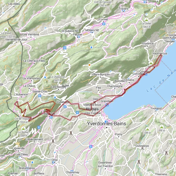
Malebná trasa s výhledy na Alpy a historickými památkami
Projížďka kolem Baulmes nabízí krásné scenérie a zajímavosti jako Giez nebo Aiguilles de Baulmes. Trasa vede kolem historických památek a nabízí pohled na malebná města.
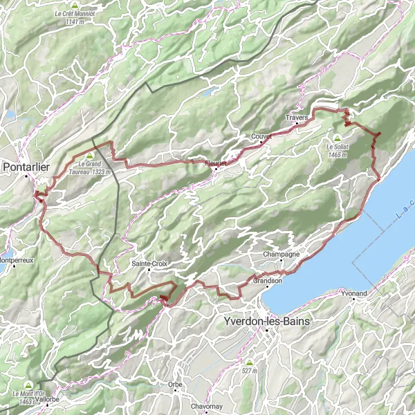
Zajímavá cyklotrasa s nádhernými výhledy a malebnými vesnicemi
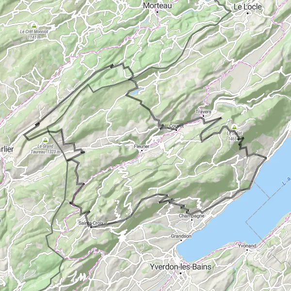
Tato 109 km dlouhá trasa nabízí 2572 m stoupání a prochází skrz Champagne, Baulmes, Mont de Baulmes, La Cluse-et-Mijoux, Point de vue de la Fauconnière, Le Grand Taureau, Fleurier, Noiraigue, Signal du Lessy a končí v Saint-Aubin-Sauges.
Breathtaking gravel route with stunning views
Enjoy a 107 km gravel cycling adventure starting near Saint-Aubin-Sauges. The route features a total ascent of 2727m passing through highlights like Gorgier, La Chaux-de-Fonds, and Cortaillod. The diverse terrain and picturesque landscapes make this journey unforgettable for gravel enthusiasts.
Gravel: Montalchez Loop
Thrilling gravel adventure through Montalchez
Embark on a 108 km gravel cycling route starting near Saint-Aubin-Sauges with a total ascent of 3257m. Highlights include Montalchez, Gorgier, and Signal du Lessy. Enjoy the challenging terrain and scenic views along the way, making this loop perfect for gravel lovers.
Cyklotrasy v okolí:
Okolní oblasti: