Skvělá lokalita pro cykloturistiku v severozápadním Švýcarsku.
Cyklistické trasy kolem Bubendorf
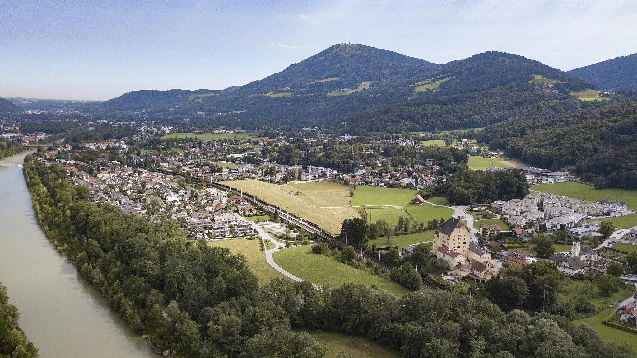
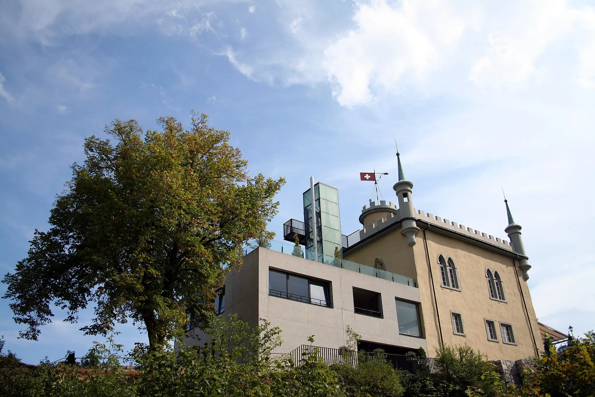
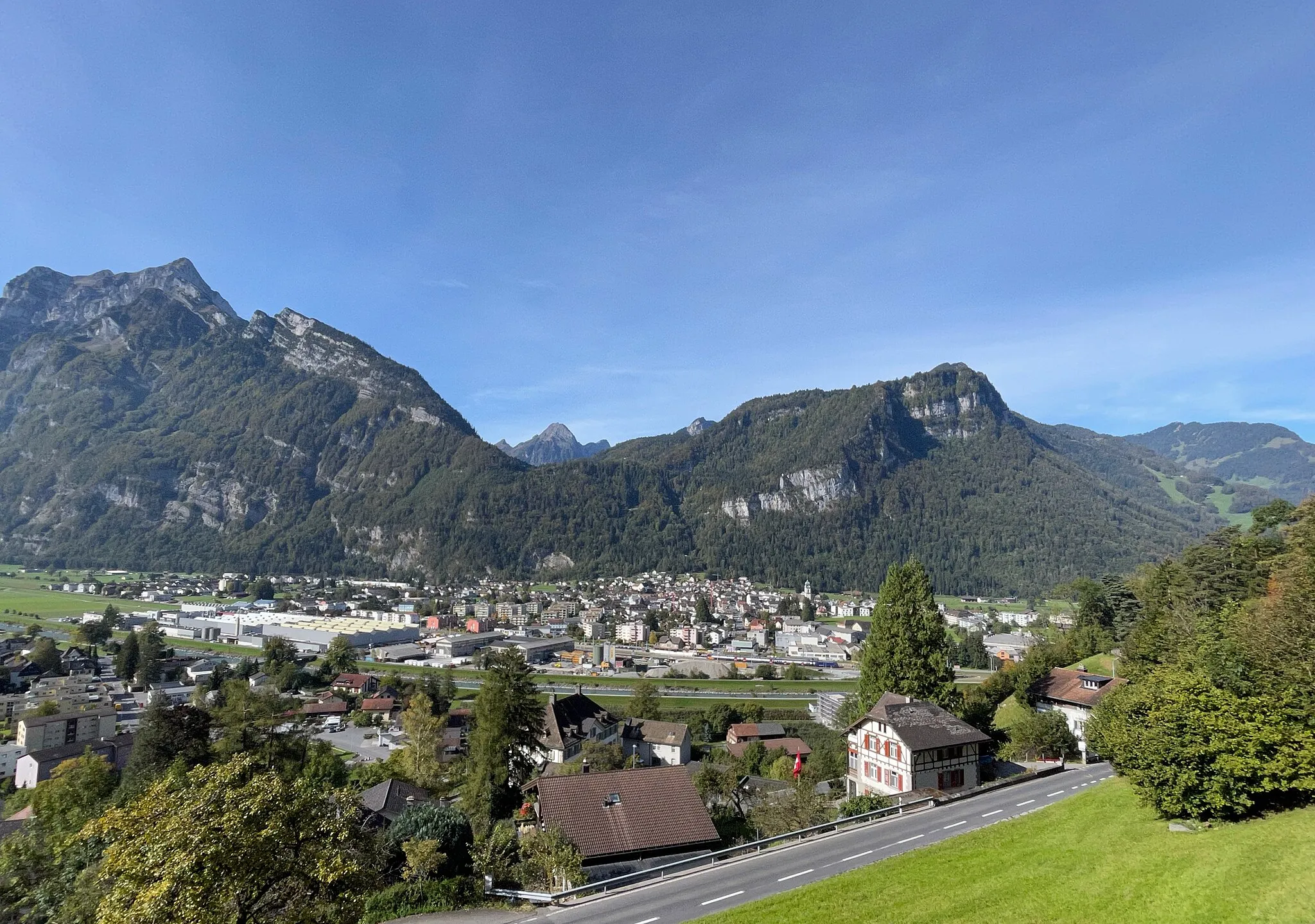
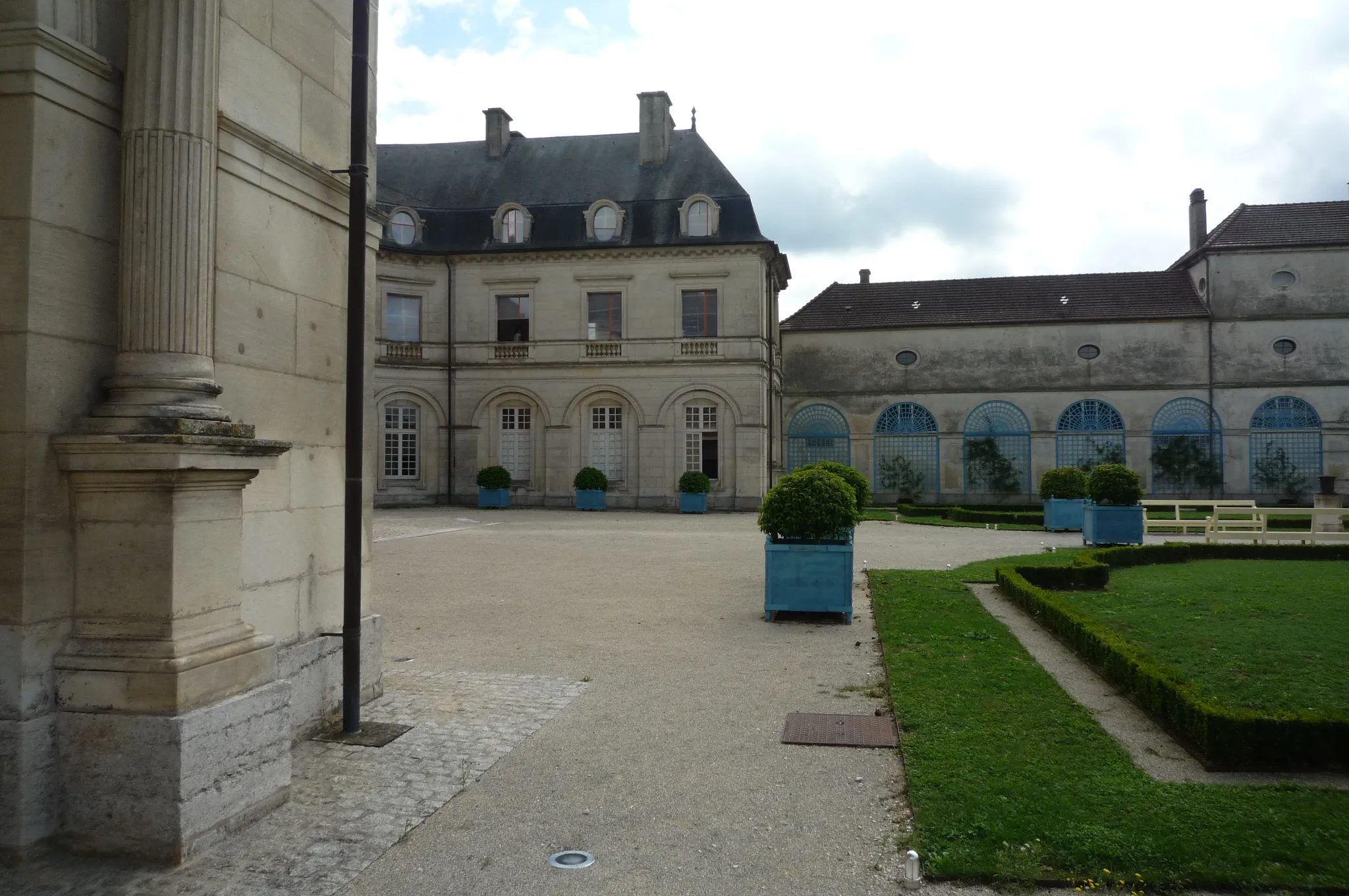
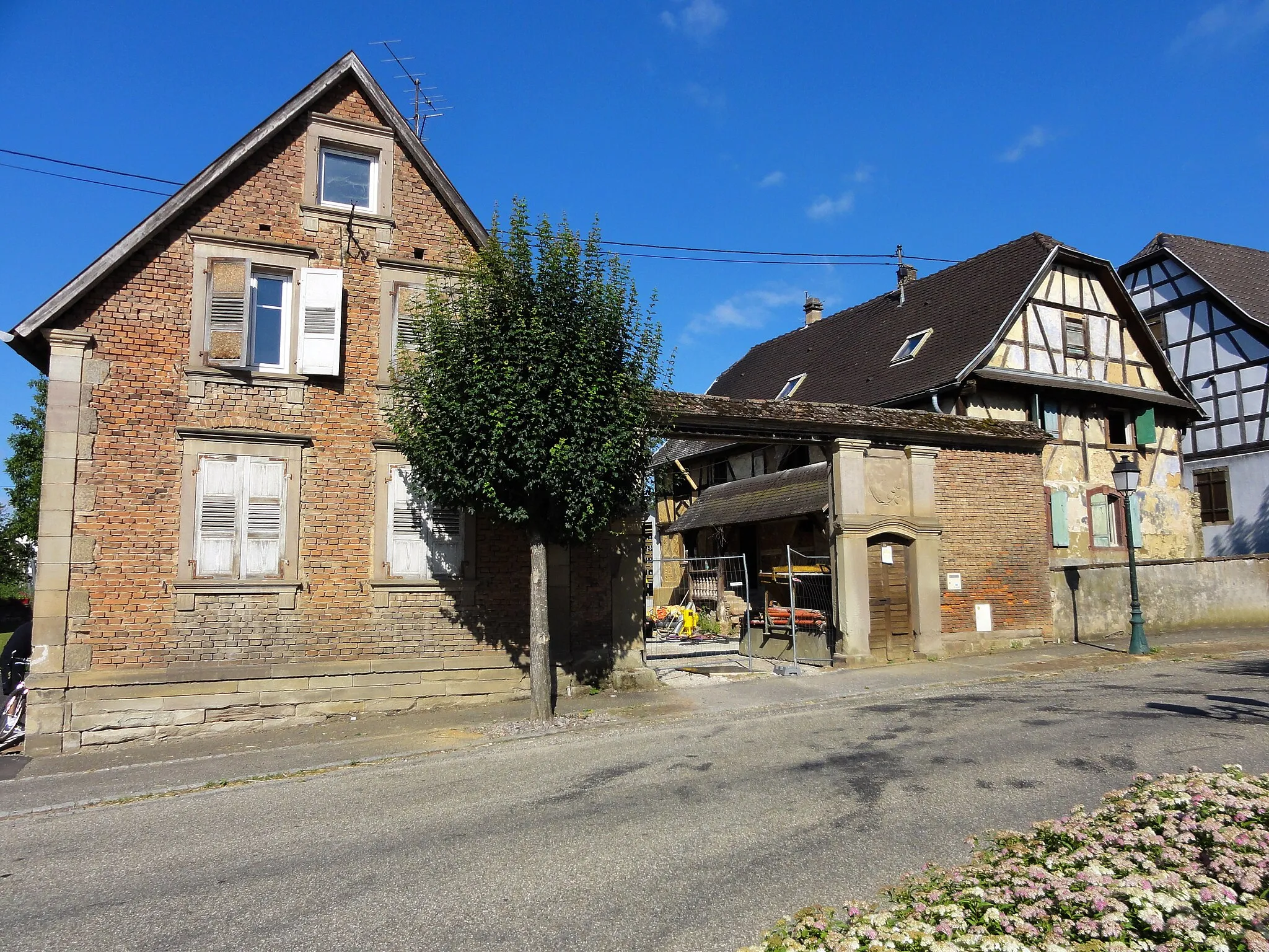
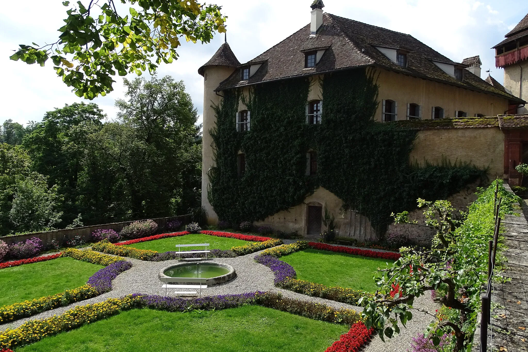
Bubendorf je obec v regionu Nordwestschweiz ve Švýcarsku. Toto místo je vhodné pro cyklistiku díky své rozmanité terénu a krásné přírodě. V okolí se nachází několik známých cyklistických tras a stoupání, která přitahují cyklisty z celého světa.

Náročná cyklistická trasa s krásnými výhledy
Tato trasa nabízí 69 km a 2050 metrů převýšení s významnými body jako Holzflue nebo Passwang. Celkově nabízí nádherné zážitky pro cyklisty, kteří si chtějí užít náročné stoupání a malebnou krajinu Nordwestschweizu.
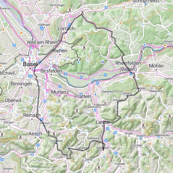
Exciting road cycling route with diverse terrain
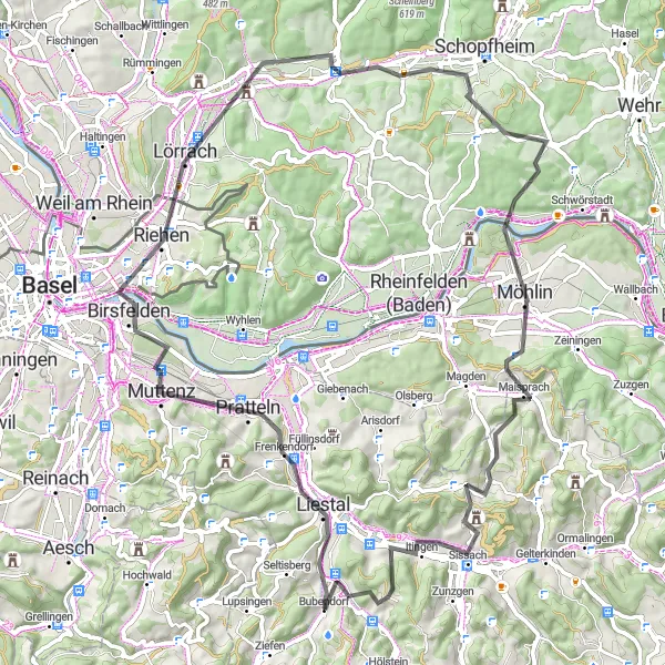
With 79 km and 1149 meters of ascent, this route takes cyclists through diverse landscapes and historical sites like Liestal and Maulburg. It offers a challenging yet thrilling experience for cyclists looking to explore the beauty of the region.
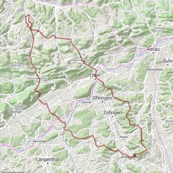
Trasa Itingen-Oltingen-Leutschenberg-Oftringen-Oberer Hauenstein-Oberdorf BL-Murenberg-Bubendorf

Významná trasa pro silniční cyklisty
Trasa o délce 82 km se 1626 m převýšením přináší úžasné výhledy a historická města jako Oltingen. Itingen, Oftringen a Oberer Hauenstein jsou místa, která stojí za návštěvu při cestě kolem vody a krásné přírody.
Náročná trasa s malebnými výhledy
Tato trasa vede přes horská stoupání a malebná městečka na délce 97 km se 2672 m převýšením. Cyklisté si užijí krásu přírody a historie na každém kilometru.

Pitoreskní trasa pro milovníky přírody
Krátká trasa 35 km s převýšením 773 m přináší cyklistům krásné výhledy, malebné vesnice a klidné prostředí. Bretzwil, Himmelried a Horn jsou skvělými místy na odpočinek a občerstvení po náročné cyklojízdě.
Scenic road cycling route with historical sites
This 76 km route with 1254 meters of ascent offers picturesque views and historical landmarks such as Pfalz and Rheinfelden. It is ideal for cyclists looking to explore the cultural and natural beauty of the region.

Trasa plná malebných výhledů a dobrodružství
Tato trasa nabízí 44 km jízdy po prašných cestách s převýšením 1463 m. Vede přes Strick, Geissflue, Nunningen, Arlischberg a následně zpět do Bubendorfu.

Zajímavá gravelová trasa s různorodým terénem
Tato trasa nabízí 66 km a 1928 metrů převýšení a projíždí zajímavými místy jako Bettenberg nebo Seltisberg. Graveloví cyklisté si zde užijí různorodý terén a krásné výhledy na švýcarskou krajinu.
Gravel Hřeben Olten
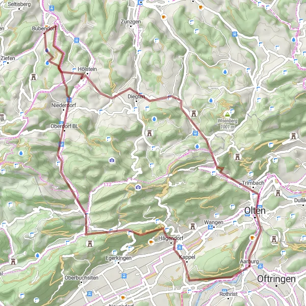
Poznejte malebné stezky a památky v okolí Olten, projděte se Bubendorf to Olten
Tato silnice kolem Olten je nádherným zážitkem pro milovníky horských kol. Cestou potkáte několik tradičních obcí s historickými památkami a malebnými uličkami.
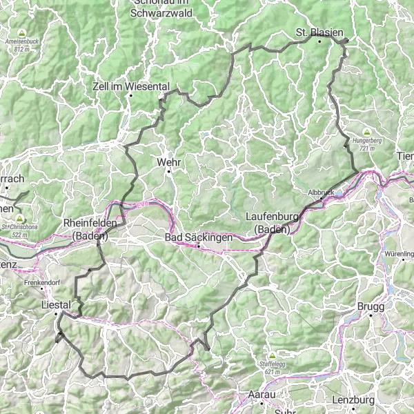
Epic cycling adventure through diverse terrain
This 155 km route with 3235 meters of ascent takes cyclists on a journey through scenic landscapes and charming villages like Todtmoos and Laufenburg. It offers a challenging yet rewarding experience for cyclists seeking an epic adventure in the Swiss countryside.
Cyklotrasy v okolí:
Okolní oblasti: