![Cover image](https://images.tarmacs.app/cycling-routes/covers/switzerland/nordwestschweiz/ehrendingen-4.webp)
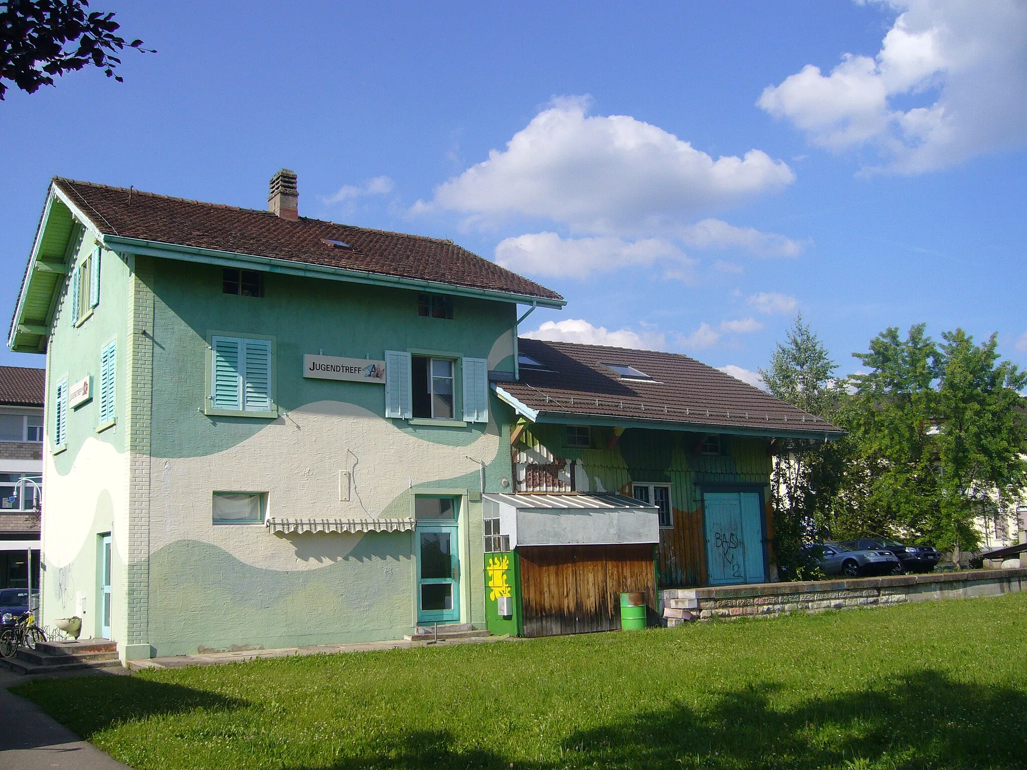
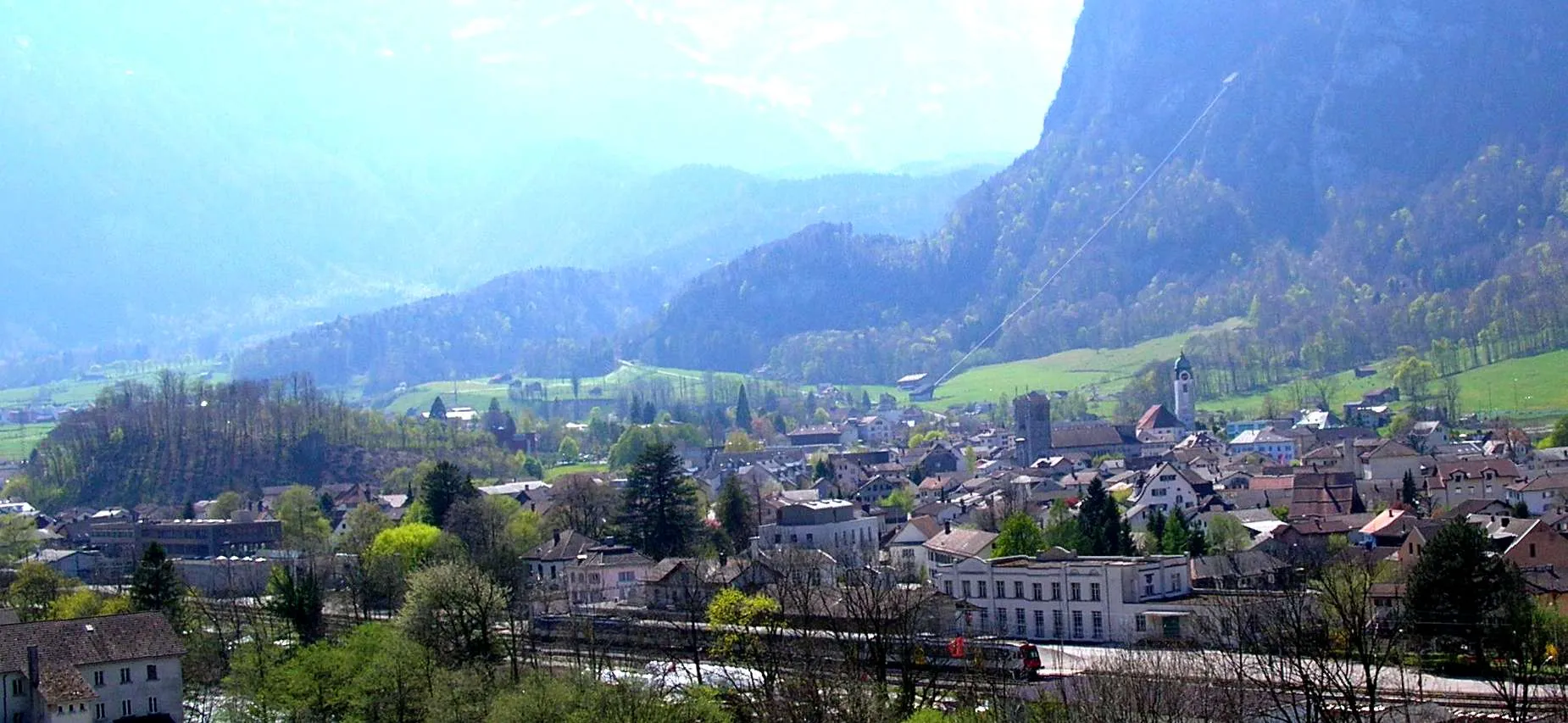
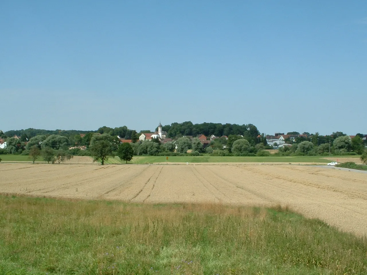
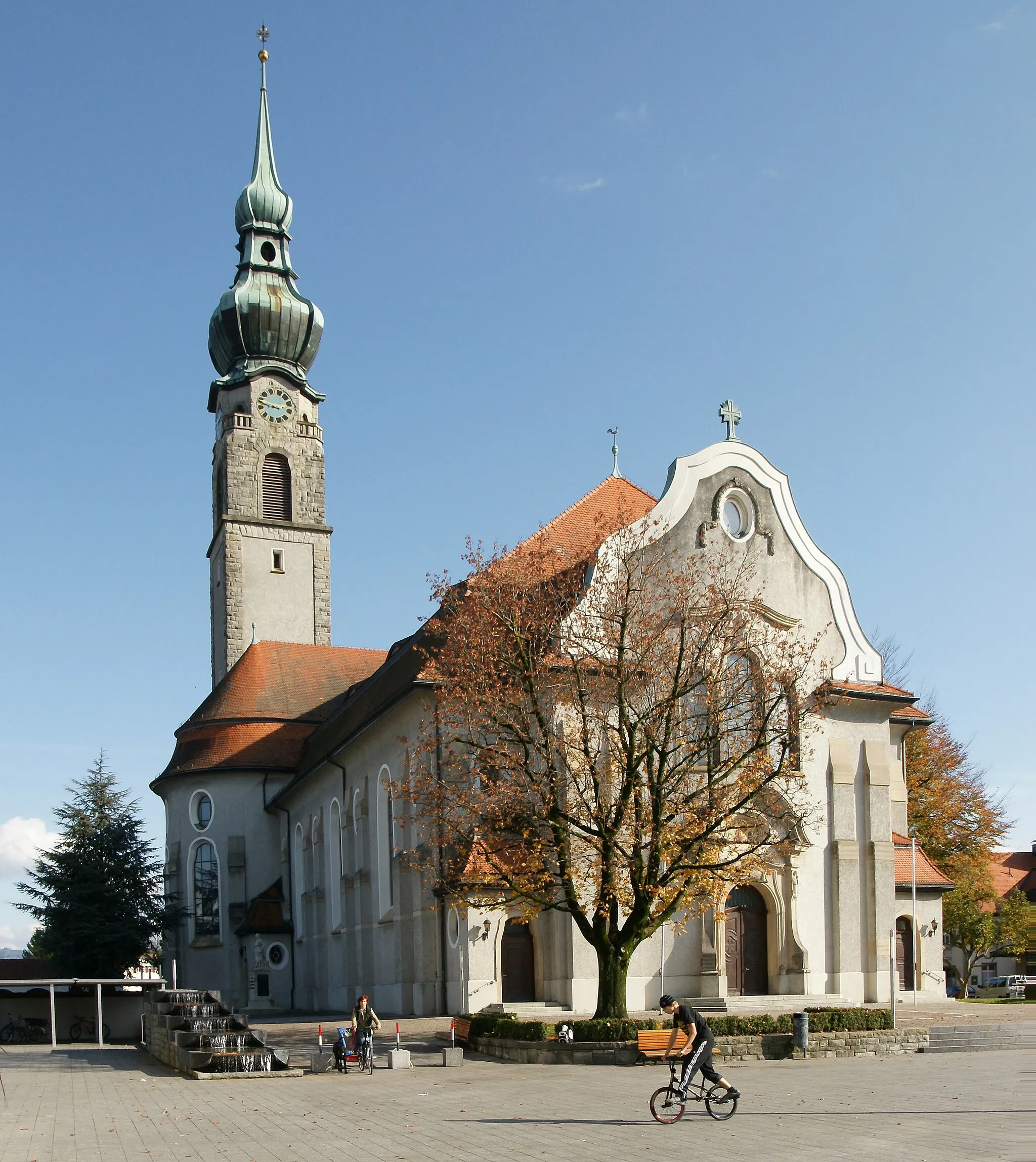
Pěkná lokalita s malebným okolím.
Cyklistické trasy kolem Ehrendingen
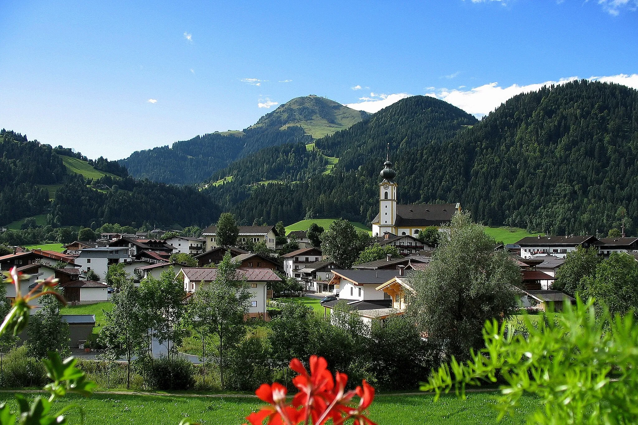
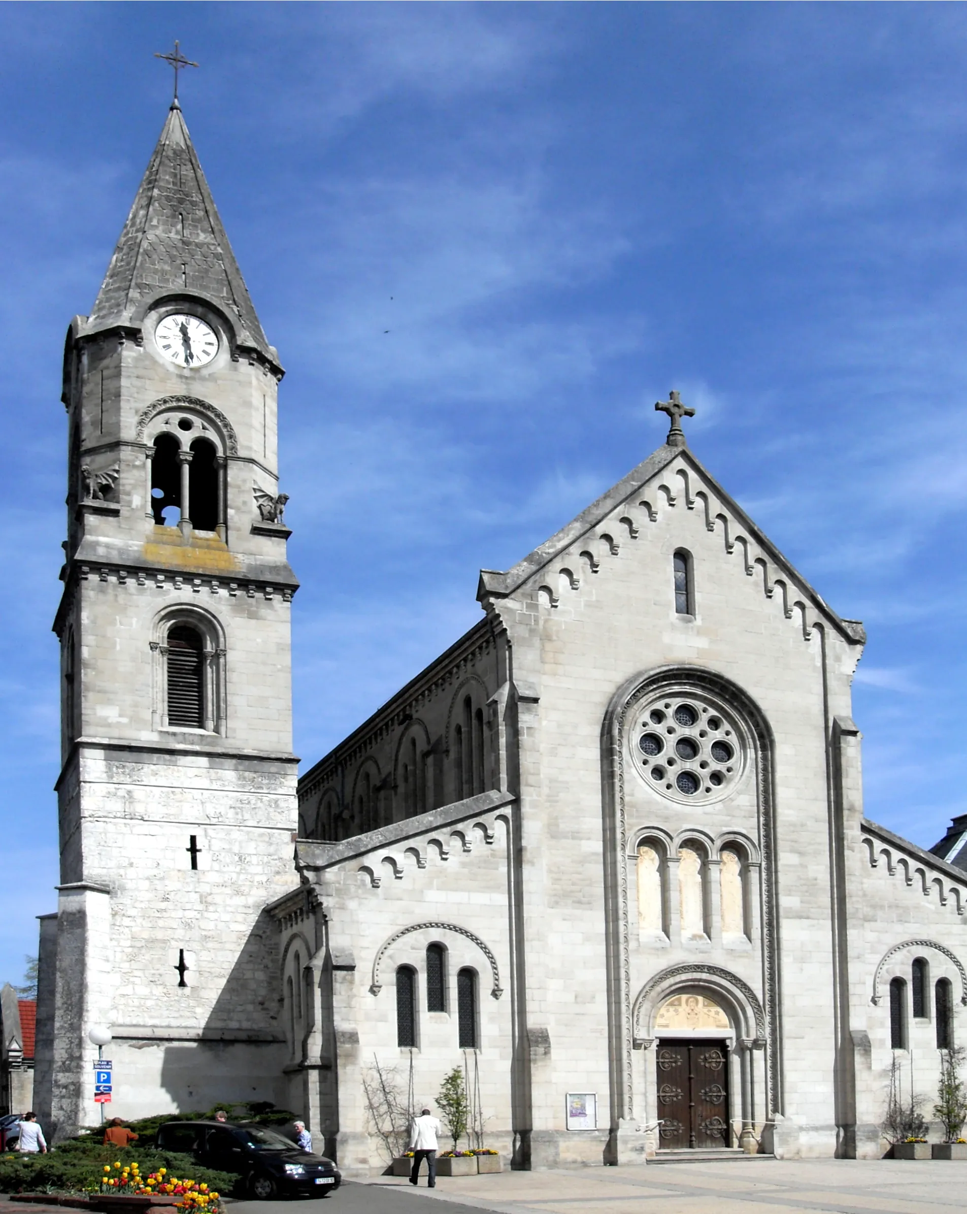
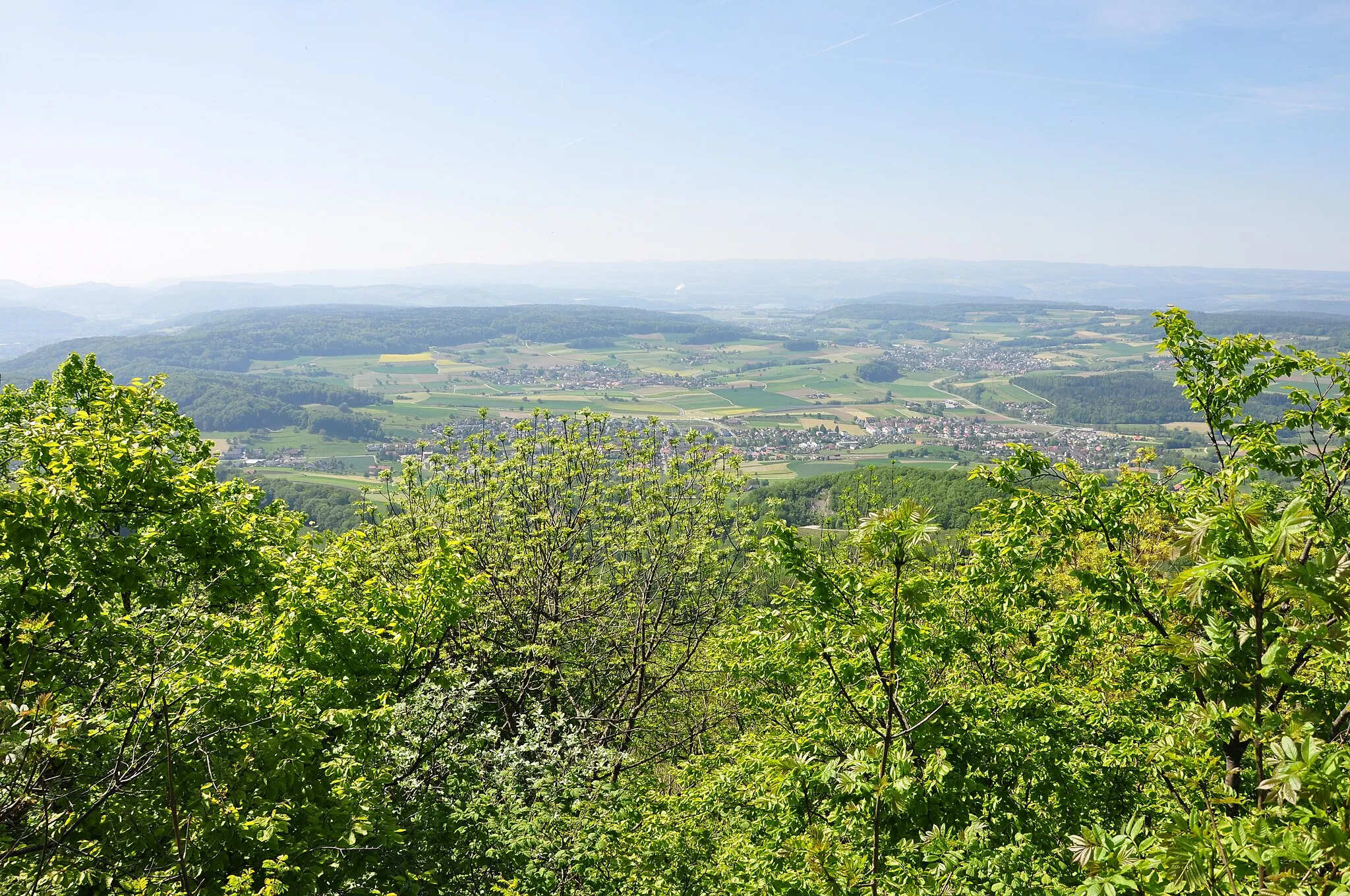
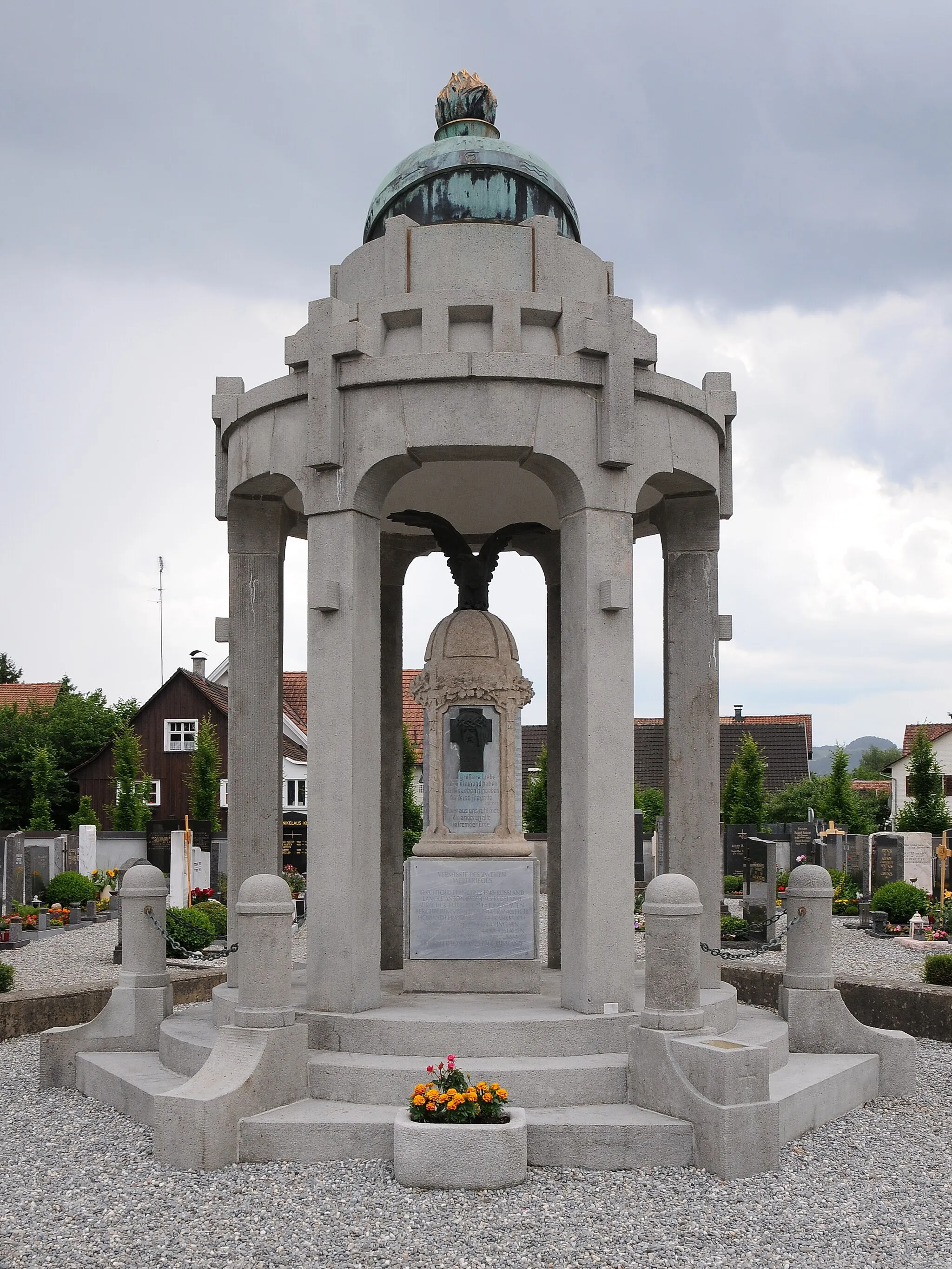
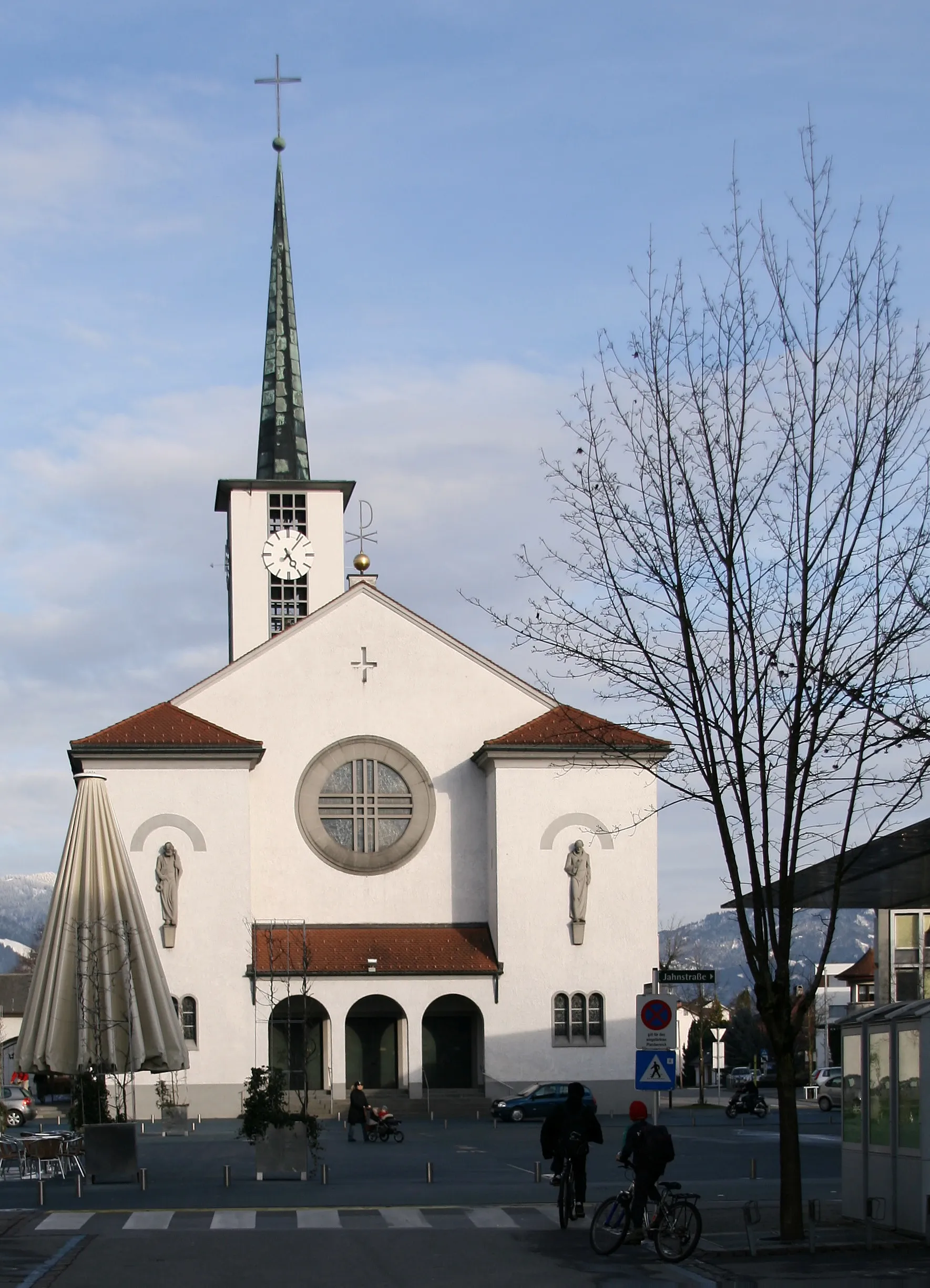
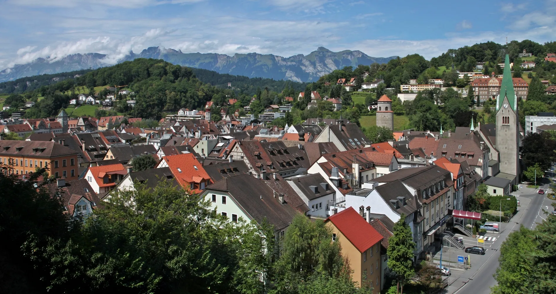
Ehrendingen je pěkná lokalita ve Švýcarsku s různými cyklistickými trasami a malebným okolím. Ideální pro silniční cyklistiku i gravel, s možností objevovat okolní vinice a vesnice. Doporučená trasa zahrnuje okruh kolem jezera a zámku.
![Miniaturní mapa "Gravel Kolo Trasa: Ehrendingen a okolí" inspirace pro cyklisty v oblasti Nordwestschweiz, Switzerland. Vytvořeno pomocí plánovače tras Tarmacs.app](https://images.tarmacs.app/cycling-routes/routemaps/600/switzerland/nordwestschweiz/ehrendingen/gravel/168339.webp)
Zajímavá gravlová trasa s více než 1000 m převýšení
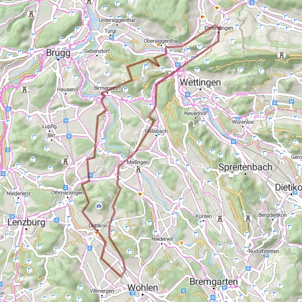
Tato trasa nabízí 54 km dobrodružství s 1050 m převýšení. Projedete skrz Freienwil, Chrüzliberg a Villmergen, až se dostanete k úžasným výhledům na Brunegg a Stutz. Vrcholem je cesta kolem Martinsberg a Obersiggenthal.
![Miniaturní mapa "Gravel Rundfahrt durch die Naturparks" inspirace pro cyklisty v oblasti Nordwestschweiz, Switzerland. Vytvořeno pomocí plánovače tras Tarmacs.app](https://images.tarmacs.app/cycling-routes/routemaps/600/switzerland/nordwestschweiz/ehrendingen/gravel/168268.webp)
Erleben Sie die Schönheit der Naturparks entlang dieser 46 km langen Gravel-Rundfahrt.
Mit einer Gesamtaufstieg von 719 Metern bietet diese Route spektakuläre Ausblicke auf die umliegende Landschaft. Von charmanten Dörfern wie Belchen bis hin zu historischen Sehenswürdigkeiten wie dem Hiltenberg gibt es viel zu entdecken.
![Miniaturní mapa "Cyklotrasa Lengnau AG - Schneisingen" inspirace pro cyklisty v oblasti Nordwestschweiz, Switzerland. Vytvořeno pomocí plánovače tras Tarmacs.app](https://images.tarmacs.app/cycling-routes/routemaps/600/switzerland/nordwestschweiz/ehrendingen/road/168341.webp)
Krátká ale náročná cesta s převýšením až 800 metrů přináší malebné výhledy na krajinu Nordwestschweiz.
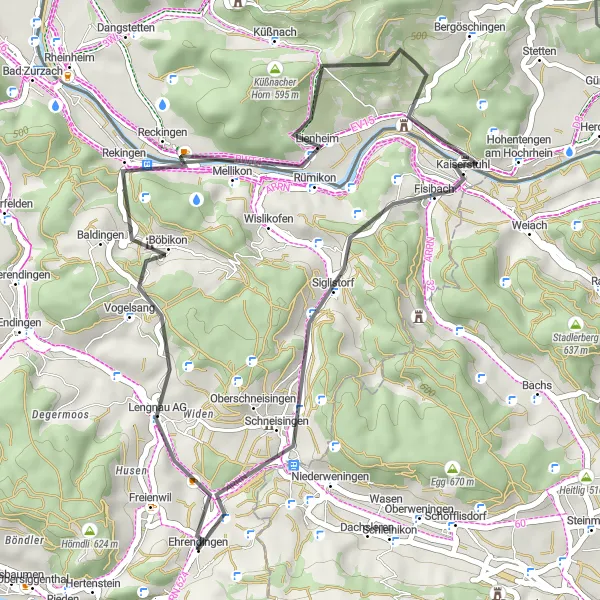
Tato 37 km dlouhá cyklotrasa vás provede malebnými vesnicemi a okouzlujícími scenériemi v okolí Lengnau AG a Mellikon. Cesta nabízí pohodové jízdy po silnici s možností obdivování okolní přírody a architektury.
![Miniaturní mapa "Gravel Trasa: Kolem Ehrendingenu" inspirace pro cyklisty v oblasti Nordwestschweiz, Switzerland. Vytvořeno pomocí plánovače tras Tarmacs.app](https://images.tarmacs.app/cycling-routes/routemaps/600/switzerland/nordwestschweiz/ehrendingen/gravel/168293.webp)
48 km trasa vhodná pro gravel kola
Tato 48 km trasa nabízí 1013 m převýšení. Projedete skrz Stutz, Birmenstorf, Maiengrünturm a Dottikon, až se dostanete k úžasným výhledům na Dreihägen, Mellingen, Chrüzliberg a Ennetbaden. Cesta nabízí skvělé podmínky pro milovníky gravel kola.
![Miniaturní mapa "Gravel Rundfahrt entlang des Rheins" inspirace pro cyklisty v oblasti Nordwestschweiz, Switzerland. Vytvořeno pomocí plánovače tras Tarmacs.app](https://images.tarmacs.app/cycling-routes/routemaps/600/switzerland/nordwestschweiz/ehrendingen/gravel/168275.webp)
Entdecken Sie unberührte Natur und charmante Dörfer entlang des Rheins.
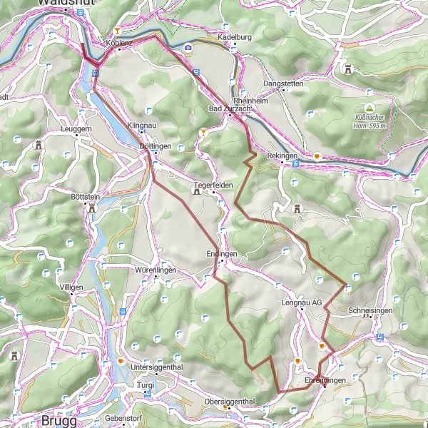
Diese 45 km lange Gravel-Rundfahrt führt Sie durch malerische Orte wie Endingen und Bad Zurzach. Die Route bietet atemberaubende Ausblicke auf den Fluss und einige historische Highlights, die es zu entdecken gilt. Mit insgesamt 731 Höhenmetern ist dies eine herausfordernde, aber lohnende Strecke.
![Miniaturní mapa "Cyklotrasa Baden - Baldegg" inspirace pro cyklisty v oblasti Nordwestschweiz, Switzerland. Vytvořeno pomocí plánovače tras Tarmacs.app](https://images.tarmacs.app/cycling-routes/routemaps/600/switzerland/nordwestschweiz/ehrendingen/road/168277.webp)
Náročná 135 km trasa s převýšením až 1549 metrů vede přes malebnou krajinu Nordwestschweiz a nabízí zajímavé zastávky.
Tato dlouhá cyklotrasa láká na náročné výzvy a malebné výhledy na krajinu Nordwestschweiz. Navštívit můžete historické památky, malebná města a přírodní rezervace po cestě od Baden až do Baldegg. Užijte si cyklistický zážitek plný krásných scenérií a zajímavých míst k objevení.
![Miniaturní mapa "Gravelová trasa Baden - Freienwil" inspirace pro cyklisty v oblasti Nordwestschweiz, Switzerland. Vytvořeno pomocí plánovače tras Tarmacs.app](https://images.tarmacs.app/cycling-routes/routemaps/600/switzerland/nordwestschweiz/ehrendingen/gravel/168278.webp)
Zajímavá 66 km dlouhá trasa vhodná pro gravelová kola s převýšením až 1407 metrů.
Tato gravelová trasa vede přes malebné vesnice a krásné přírodní scenérie Nordwestschweiz. Cestou můžete objevovat historické památky a přírodní rezervace od Baden až do Freienwil. Skvělá volba pro milovníky gravelové cyklistiky a poutavých scenérií v okolí.
![Miniaturní mapa "Cyklotrasa Niederweningen - Schneisingen" inspirace pro cyklisty v oblasti Nordwestschweiz, Switzerland. Vytvořeno pomocí plánovače tras Tarmacs.app](https://images.tarmacs.app/cycling-routes/routemaps/600/switzerland/nordwestschweiz/ehrendingen/road/168286.webp)
Poutavá cesta skrz malebnou krajinu Nordwestschweiz se zdoláváním kopce až o 765 metrů.
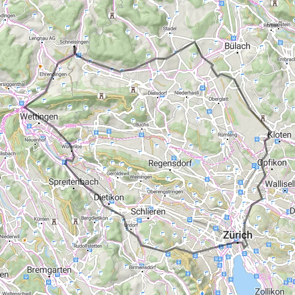
Tato 68 km dlouhá cyklotrasa nabízí malebné výhledy a zajímavé zastávky v lokalitách jako Zurich, Baden a Spreitenbach. Po cestě lze navštívit historické památky a vyhlídky, které stojí za to objevit.
![Miniaturní mapa "Silniční Kolo Trasa: Okolí Ehrendingenu" inspirace pro cyklisty v oblasti Nordwestschweiz, Switzerland. Vytvořeno pomocí plánovače tras Tarmacs.app](https://images.tarmacs.app/cycling-routes/routemaps/600/switzerland/nordwestschweiz/ehrendingen/road/168297.webp)
59 km silniční trasa s pěkným výhledem
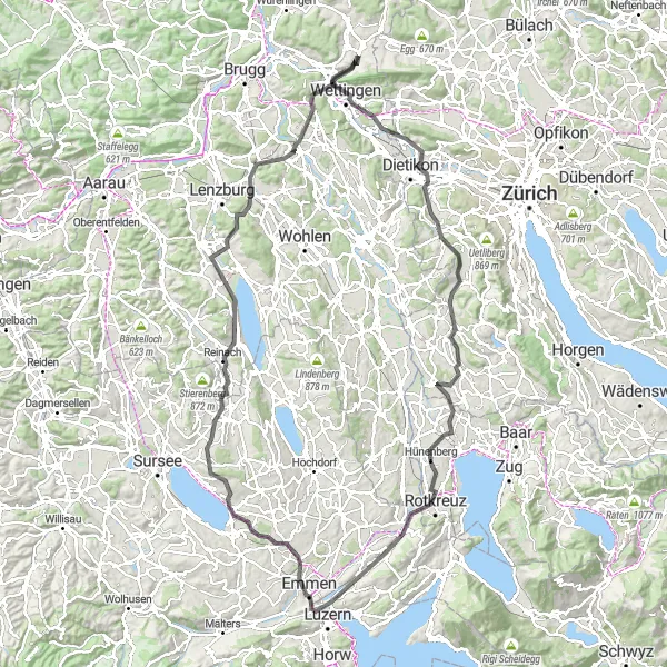
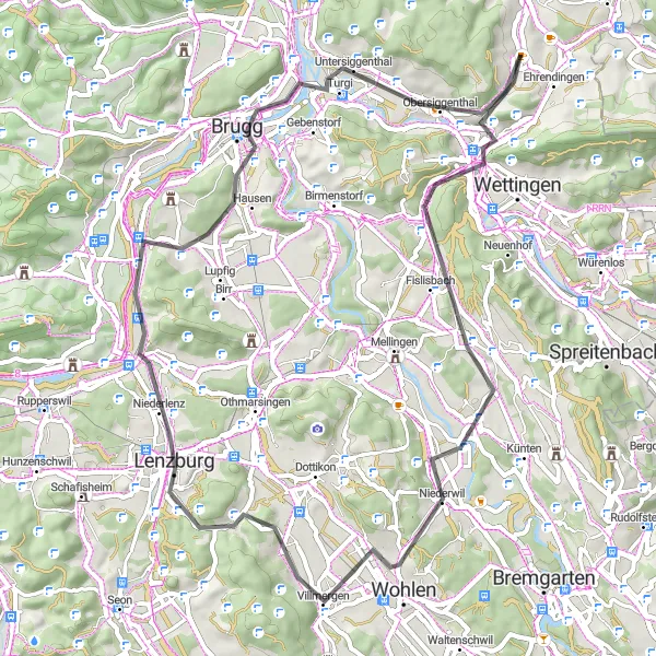
Tato trasa nabízí 59 km s 748 m převýšení. Projedete skrz Baden, Wasserturm Baldegg a Wohlen, až se dostanete k úžasným výhledům na Ammerswil a Schlossberg. Vrcholem je cesta kolem Windisch, Bruggerberg, Martinsberg a Obersiggenthal.
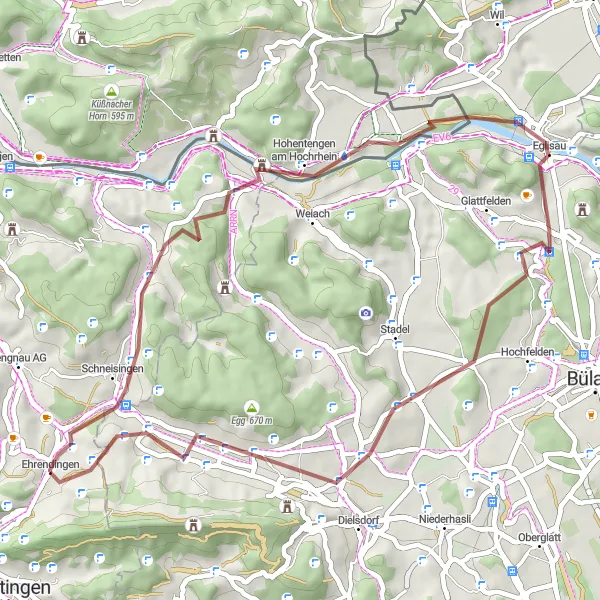
Jízda okolo Eglisau
![Miniaturní mapa "Jízda okolo Eglisau" inspirace pro cyklisty v oblasti Nordwestschweiz, Switzerland. Vytvořeno pomocí plánovače tras Tarmacs.app](https://images.tarmacs.app/cycling-routes/routemaps/600/switzerland/nordwestschweiz/ehrendingen/road/168338.webp)
Silnice plná krásných výhledů a malebných vesnic
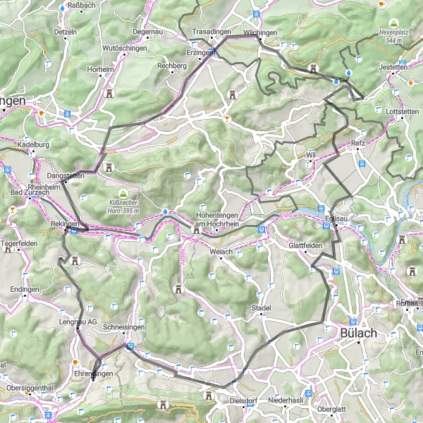
Tato silnice se táhne na 78 km kolem Eglisau a nabízí skvělé zastávky v Rekingen, Kernenwieden, Trasadingen, Eglisau, Heitlig, Regensberg a v Ehrendingen.
Cyklotrasy v okolí:
![Obrázek Gaißau](https://images.tarmacs.app/cycling-routes/covers/austria/vorarlberg/gaissau-5.webp)
![Obrázek Meiningen](https://images.tarmacs.app/cycling-routes/covers/austria/vorarlberg/meiningen-5.webp)
![Obrázek Koblach](https://images.tarmacs.app/cycling-routes/covers/austria/vorarlberg/koblach-5.webp)
![Obrázek Mäder](https://images.tarmacs.app/cycling-routes/covers/austria/vorarlberg/maeder-3.webp)
![Obrázek Höchst](https://images.tarmacs.app/cycling-routes/covers/austria/vorarlberg/hoechst-4.webp)
![Obrázek Götzis](https://images.tarmacs.app/cycling-routes/covers/austria/vorarlberg/goetzis-4.webp)
![Obrázek Fußach](https://images.tarmacs.app/cycling-routes/covers/austria/vorarlberg/fussach-5.webp)
![Obrázek Lustenau](https://images.tarmacs.app/cycling-routes/covers/austria/vorarlberg/lustenau-4.webp)
![Obrázek Feldkirch](https://images.tarmacs.app/cycling-routes/covers/austria/vorarlberg/feldkirch-5.webp)
Okolní oblasti:
![Obrázek Salzburg](https://images.tarmacs.app/cycling-routes/covers/austria/salzburg/grossarl-1.webp)
![Obrázek Tirol](https://images.tarmacs.app/cycling-routes/covers/austria/tirol/soell-3.webp)
![Obrázek Vorarlberg](https://images.tarmacs.app/cycling-routes/covers/austria/vorarlberg/goetzis-1.webp)
![Obrázek Région lémanique](https://images.tarmacs.app/cycling-routes/covers/switzerland/region-lemanique/saint-maurice-5.webp)
![Obrázek Espace Mittelland](https://images.tarmacs.app/cycling-routes/covers/switzerland/espace-mittelland/busserach-5.webp)
![Obrázek Zürich](https://images.tarmacs.app/cycling-routes/covers/switzerland/zurich/dietlikon-dietlikon-dorf-4.webp)
![Obrázek Ostschweiz](https://images.tarmacs.app/cycling-routes/covers/switzerland/ostschweiz/netstal-5.webp)
![Obrázek Zentralschweiz](https://images.tarmacs.app/cycling-routes/covers/switzerland/zentralschweiz/escholzmatt-5.webp)
![Obrázek Freiburg](https://images.tarmacs.app/cycling-routes/covers/germany/freiburg/muhlheim-am-bach-5.webp)
![Obrázek Tübingen](https://images.tarmacs.app/cycling-routes/covers/germany/tubingen/achstetten-3.webp)
![Obrázek Franche-Comté](https://images.tarmacs.app/cycling-routes/covers/france/franche-comte/danjoutin-2.webp)
![Obrázek Alsace](https://images.tarmacs.app/cycling-routes/covers/france/alsace/bischwiller-2.webp)