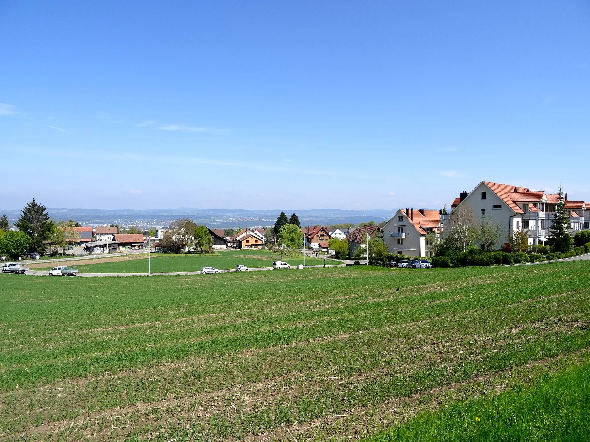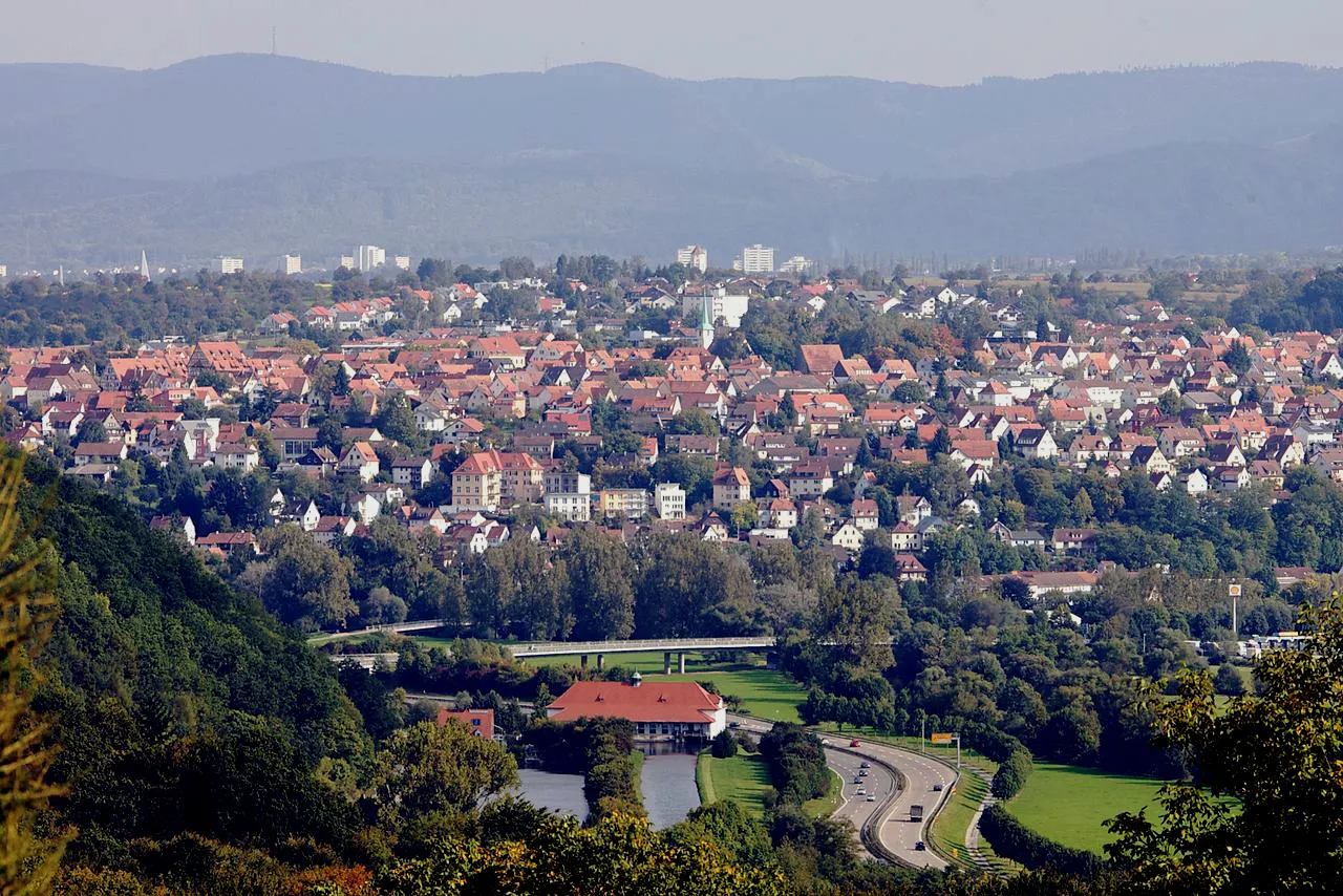
Klidná vesnice v regionu Nordwestschweiz s možností pro relaxační cyklistiku.
Cyklistické trasy kolem Holstein
Hölstein je malá vesnice v regionu Nordwestschweiz. Pro cyklisty zde není mnoho atraktivních tras, ale okolí nabízí klidné prostředí pro cyklistiku. Nedaleko se nachází město Basel, kde je možné najít více cyklistických možností.
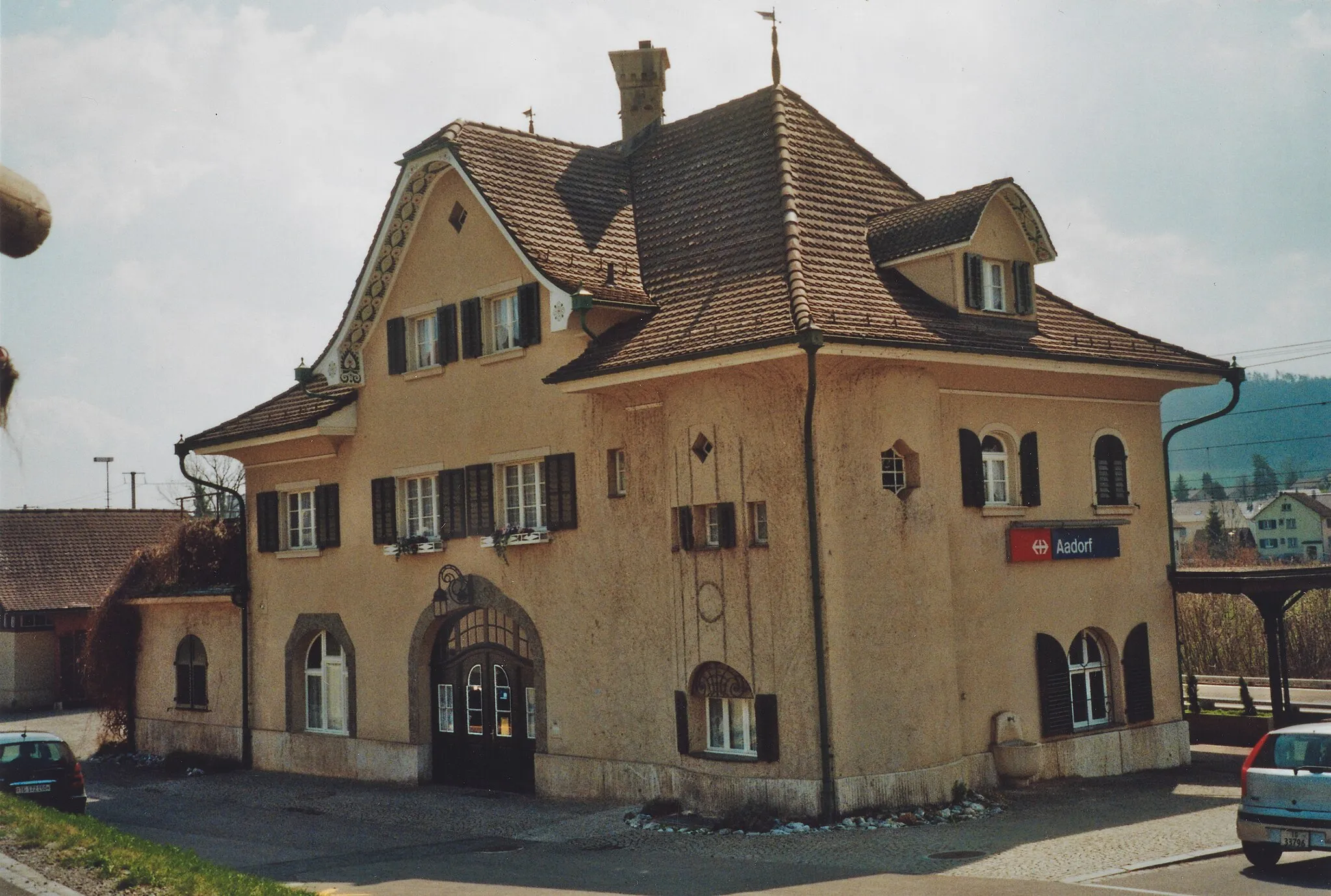
Trasa Sissach - Olten

Zajímavá cyklotrasa s mnoha úžasnými vyhlídkami
Tato trasa nabízí šestnáct kilometrů zajímavých úseků, například úsek ve vesnici Sissach a stoupání na Oltingen. Cyklisté si zde mohou užít krásnou krajinu a malebná městečka.

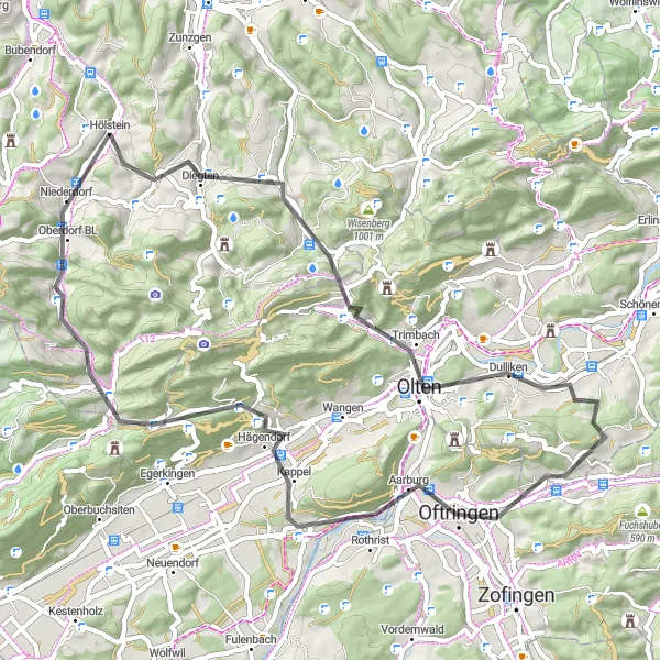
Zajímavý okruh pro silniční kola
Tento okruh nabízí 135 km s převýšením 2734 m. Můžete si užít různorodou krajinu a navštívit památky po celé Nordwestschweiz. Vychutnejte si malebná městečka a krásnou přírodu.
Cyklotrasa s významnými historickými památkami
Tato trasa přes hory a údolí vám přinese nezapomenutelné zážitky a pohledy na města a vesnice plné historických památek. Cyklisté se mohou těšit na různorodé úseky terénu a malebné cesty.
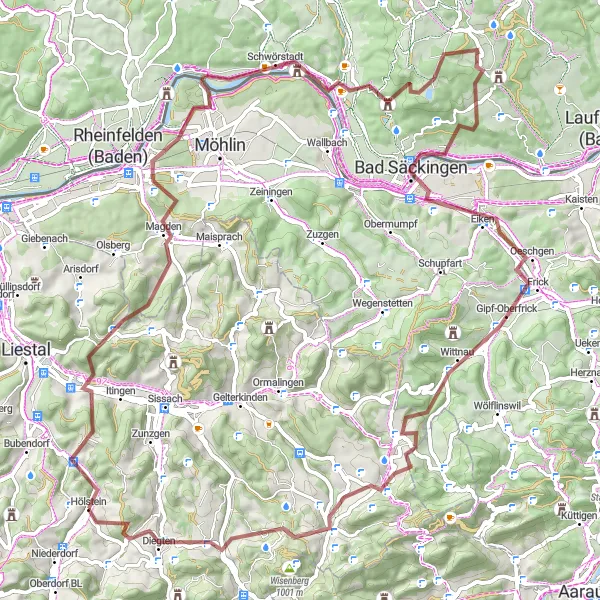
Epic gravel adventure from Spitzenberg to Hölstein
Embark on an 88 km long journey with a challenging ascent of 1955m. Discover highlights like Nusshof, Kraftwerk Rheinfelden, and Oltingen along the way. End the tour back in Hölstein feeling accomplished and fulfilled.
Výlet kolem Reigoldswilu

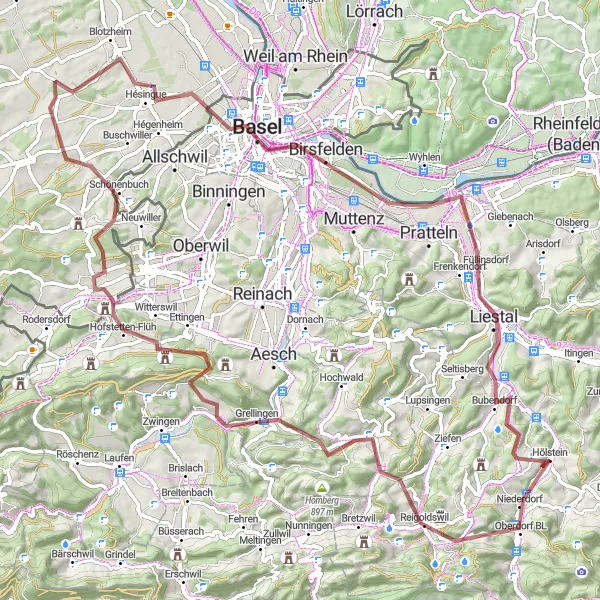
Malebný okruh pro středně pokročilé cyklisty
Tento okruh měří 97 km a nabízí převýšení 2075m. Projděte krásnou krajinou a navštivte malebná městečka v okolí Reigoldswilu. Užijte si cyklistický výlet a poznávejte nová místa.

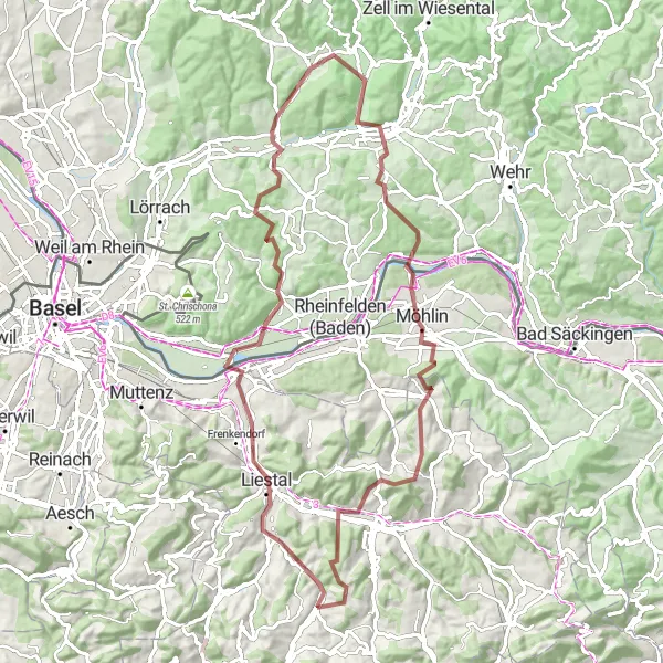
Picturesque road cycling route from Oberdorf BL to Hölstein
Enjoy a 58 km long road cycling adventure with a 1236m ascent. Explore highlights like Leisenberg, Nunningen, and Gempen along the way. Finish off in Hölstein feeling happy and fulfilled after this scenic journey.
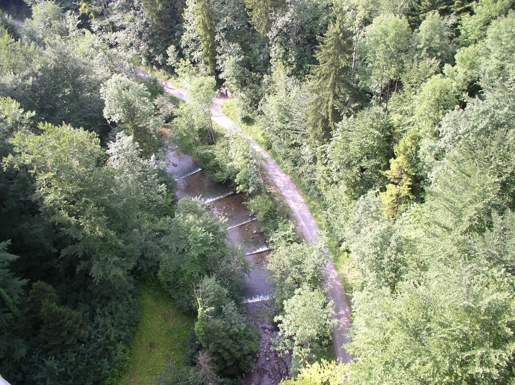
Gravelový okruh v přírodě
Tento okruh nabízí 89 km s převýšením 1557m a vede kolem malebného Augstu. Užijte si krásné cyklistické dobrodružství a objevujte nové skvosty v přírodě.
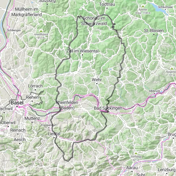
Exciting gravel route from Spitzenberg to Hölstein
This 82 km long route will challenge you with a 1652m ascent. Explore highlights like Liestal, Degerfelden, and Ebeni along the way. Finish off in Hölstein with a sense of accomplishment after conquering this beautiful loop.
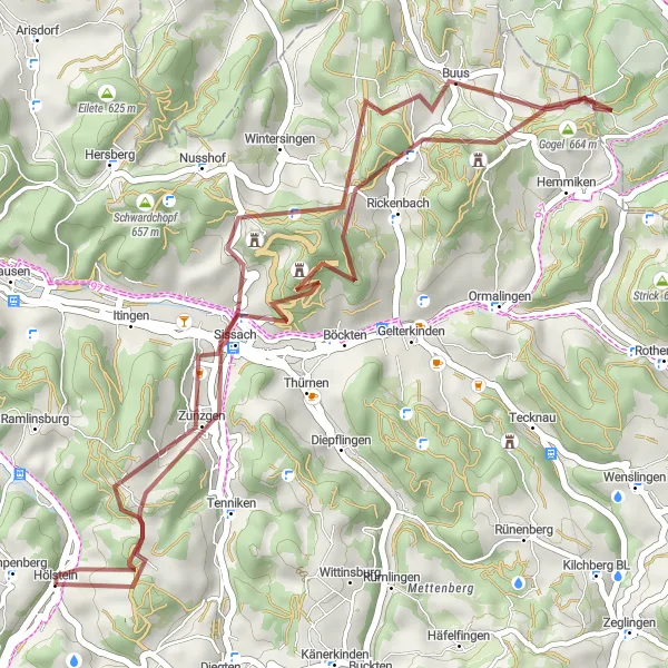
Scenic gravel route through Böckterflue and Rugen
This 41 km long route offers a challenging ascent of 1370m with stunning views along the way. Explore highlights such as Rickenbach, Buus, and Sissach Flue. Finish off in Lampenberg with a sense of accomplishment after conquering this beautiful loop.
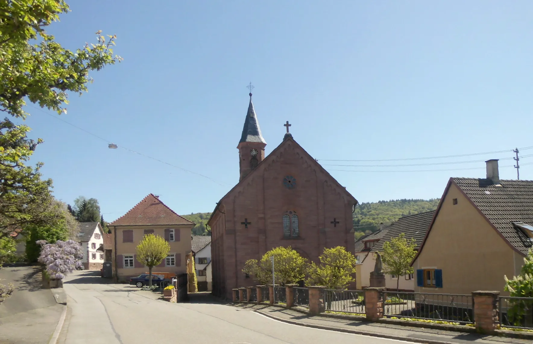
Ubytujte se v Augstu a projděte okolní gravelové cesty
Tento okruh nabízí 144 km s převýšením 2695 m. Projeďte se krásnou krajinou a zkoumejte skryté poklady tohoto regionu. Objevujte malebné vesničky a užijte si příjemnou jízdu.
Cyklotrasy v okolí:
Okolní oblasti: