Cyklistický ráj v regionu Nordwestschweiz
Cyklistické trasy kolem Menziken
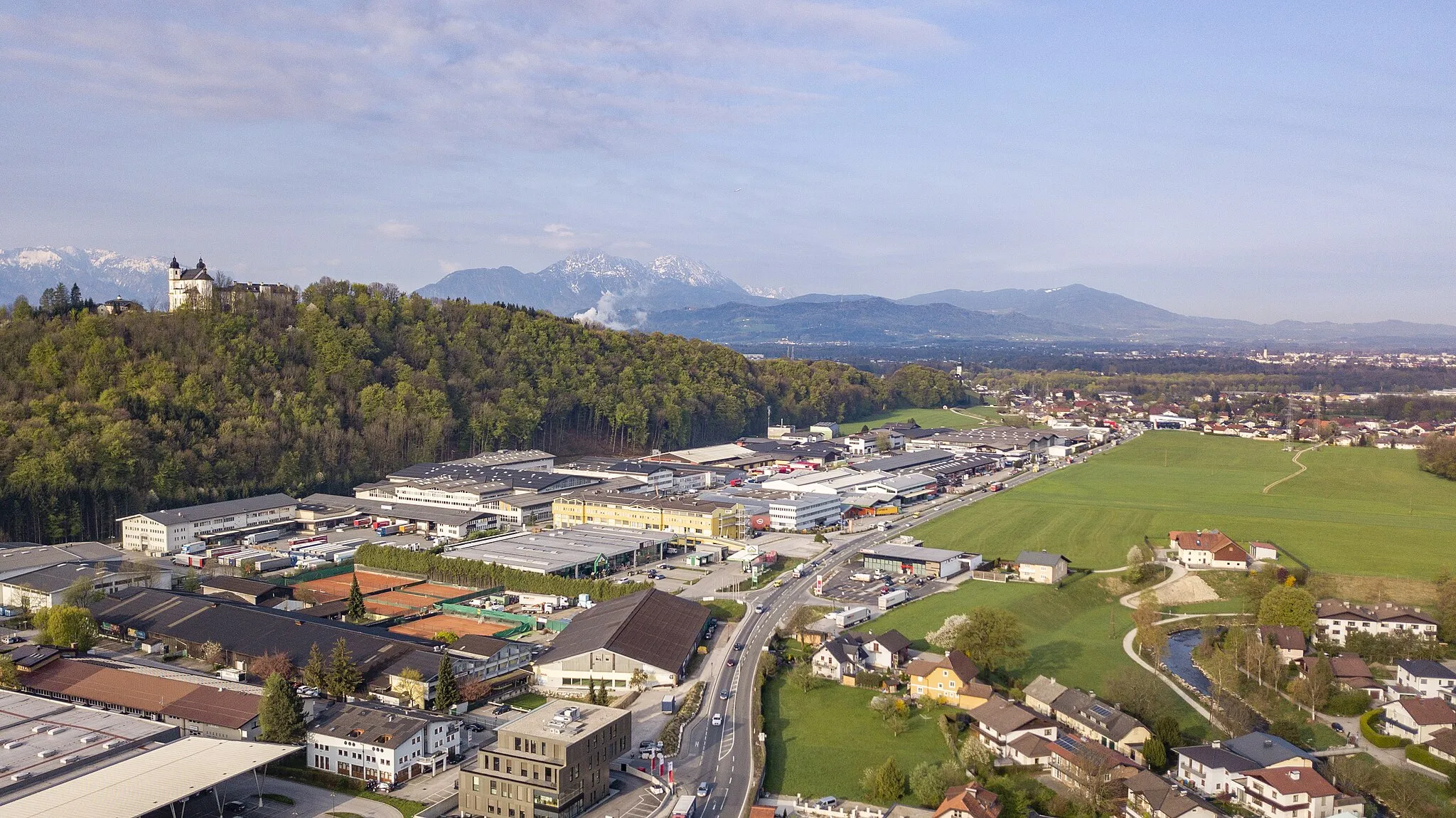
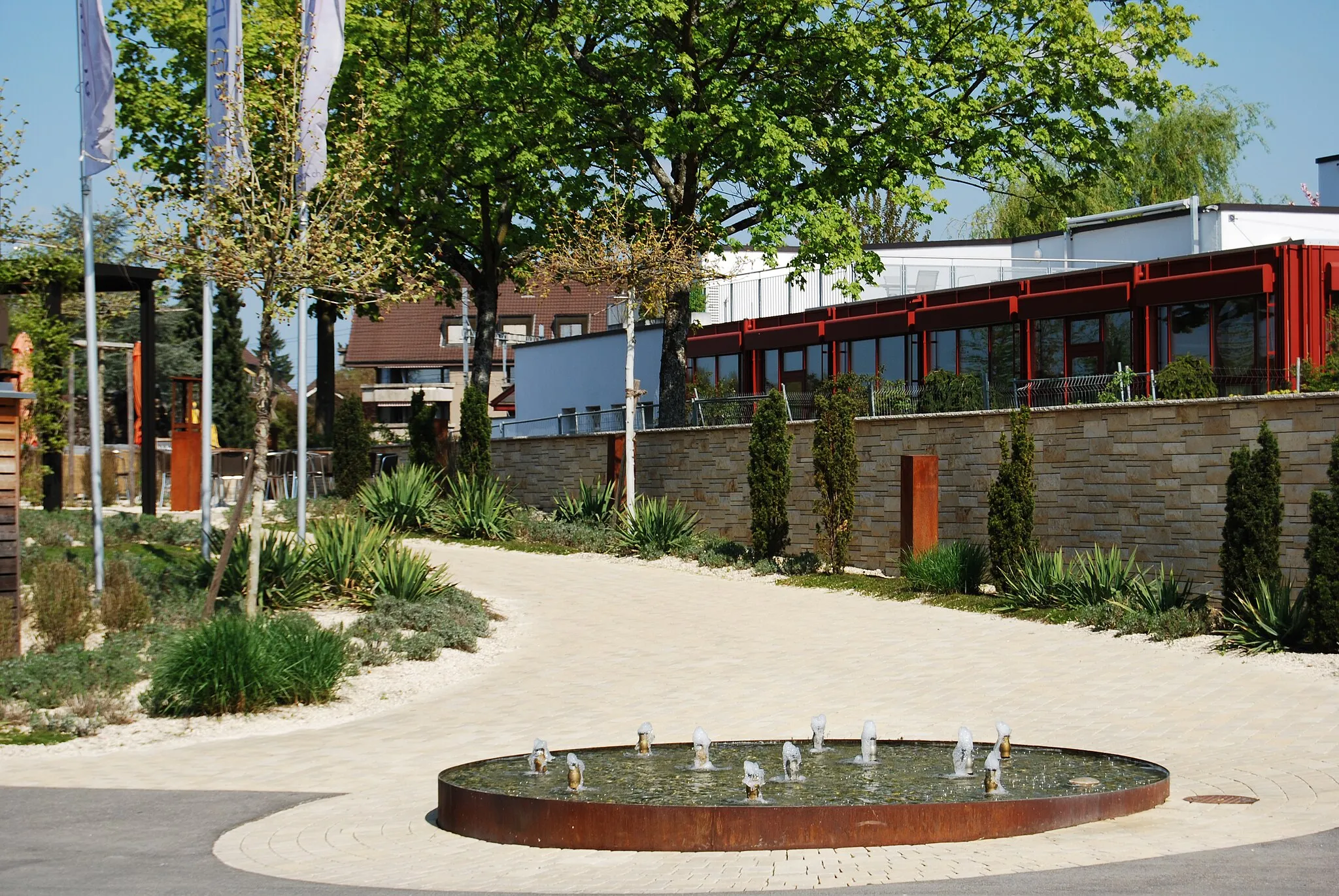
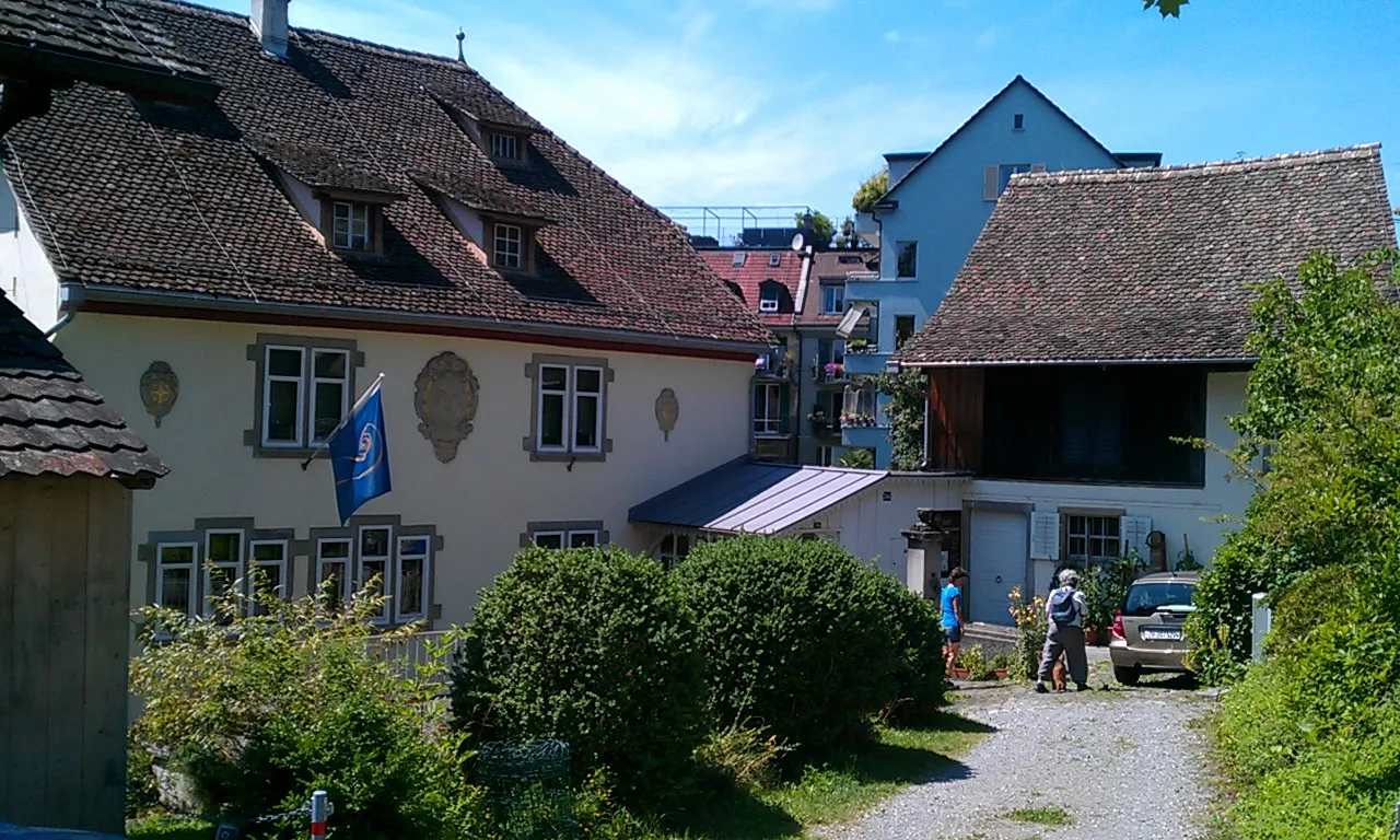
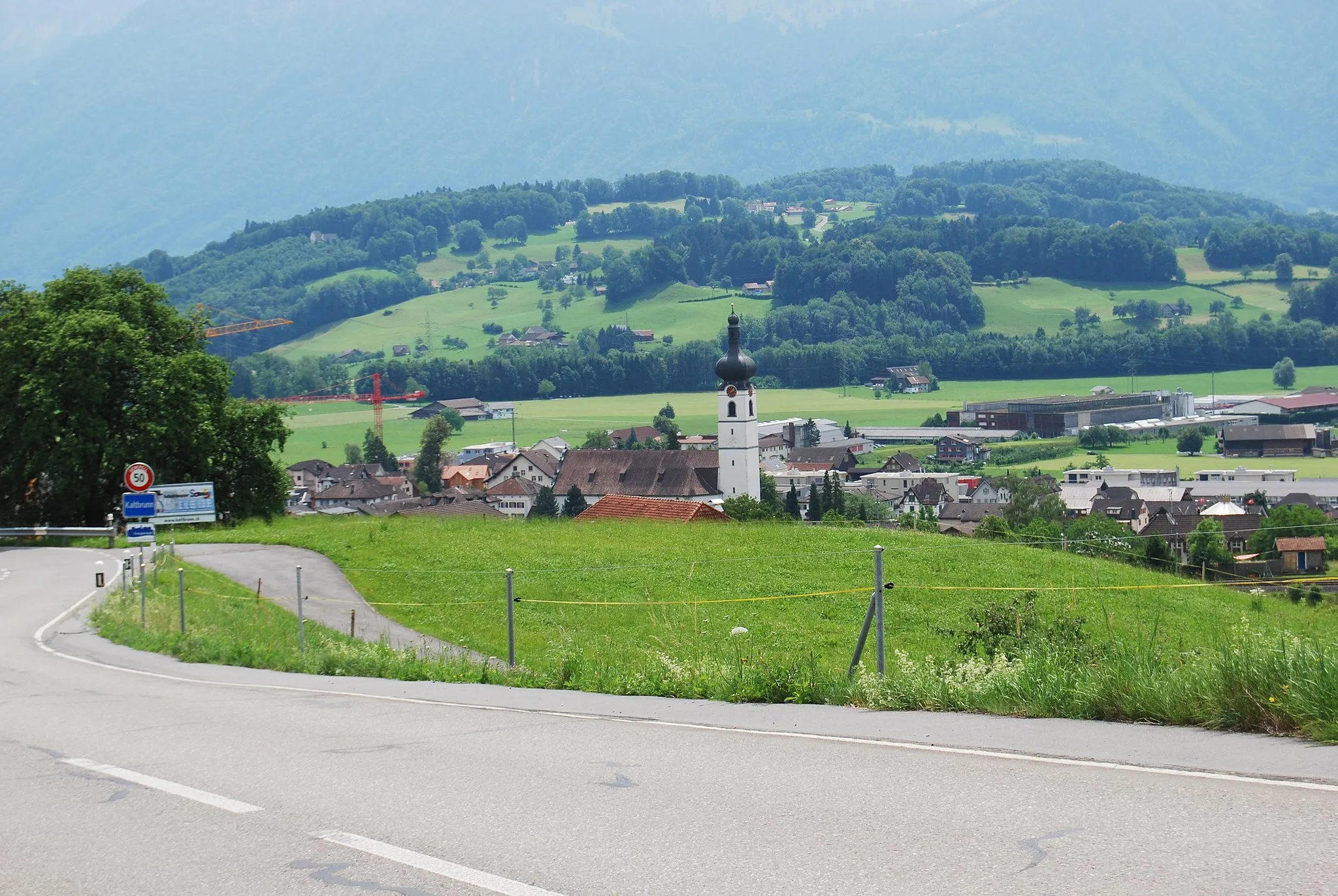
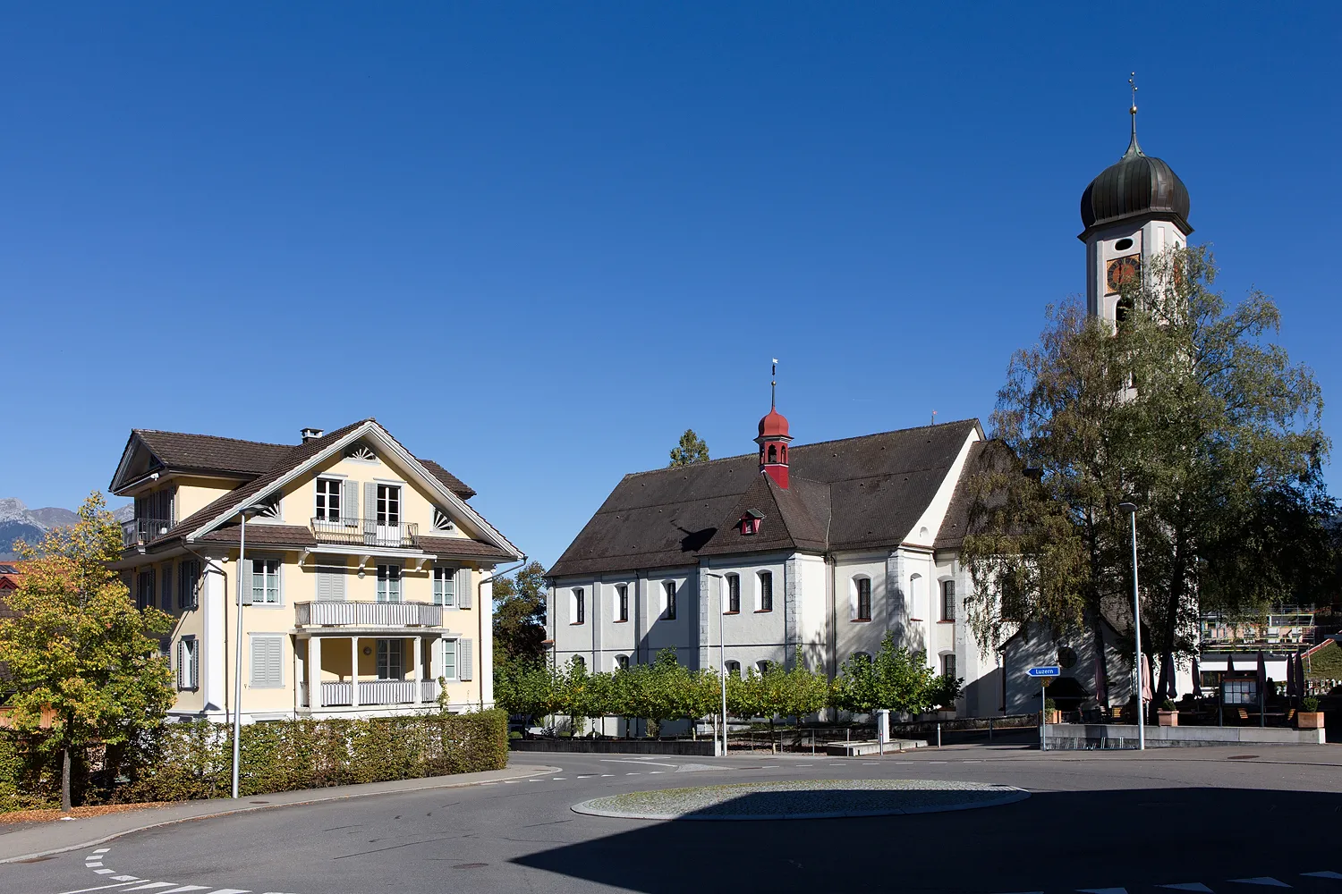
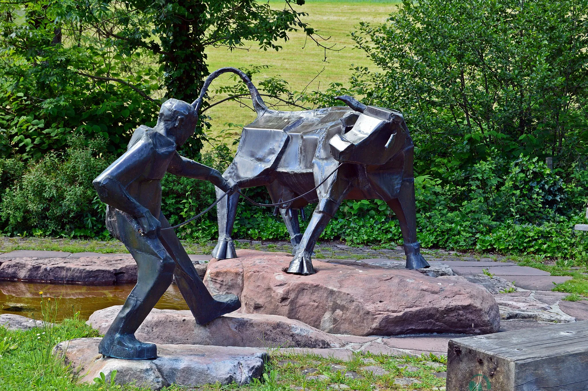
Menziken je malebné město se nacházející v regionu Nordwestschweiz ve Švýcarsku. Pro cyklisty nabízí krásné silnice a cesty s oblíbenými výhledy na okolní krajinu. V blízkosti Menzikenu se nacházejí známé stoupání, která lákají cyklisty z celého světa.
Scenic road journey with cultural highlights
Embark on a road cycling adventure with a total ascent of 1255 meters and a distance of 93 km. Pass through picturesque landscapes and charming towns, including Baden and Bremgarten. Enjoy the cultural richness and historical significance of the route, with various points of interest along the way.
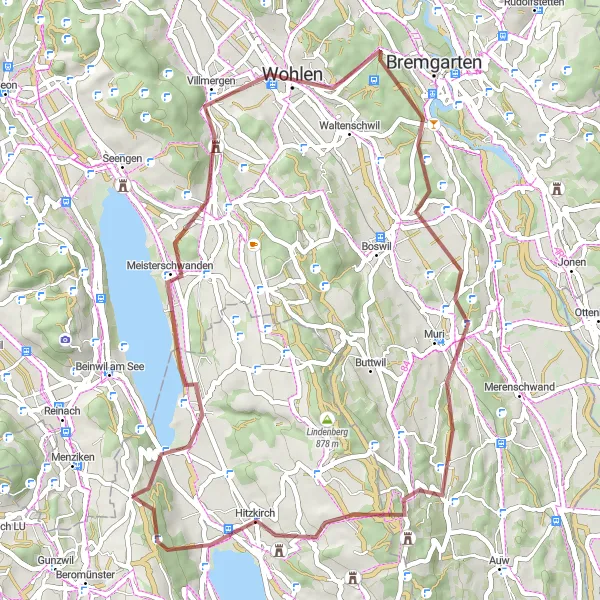
Cyklovýlet s výhledy na vinice a malebné vesnice
Trasa s převýšením 1021 metrů a délkou 52 kilometrů prochází idylickou krajinou s vinicemi a malými vesnicemi. Cyklisté projíždějí malebné vesnice Meisterschwanden a Wohlen a mohou si vychutnat klidnou atmosféru přírody.
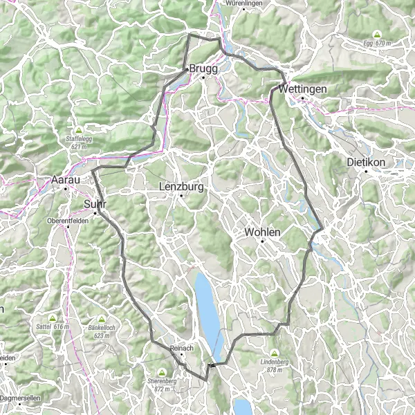
Panoramic road cycling journey through picturesque landscapes
Embark on a road cycling adventure with a total ascent of 1522 meters and a distance of 109 km. Cycle through charming villages and enjoy the panoramic views of the surrounding countryside. Discover cultural landmarks and historic sites along the way, with opportunities to explore the local heritage and traditions.
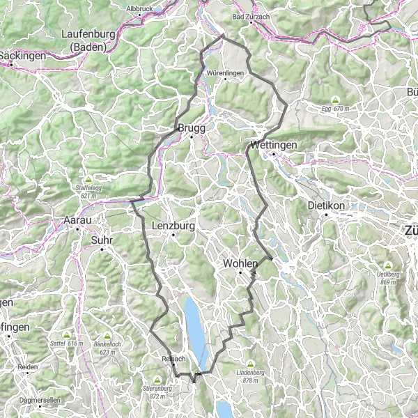
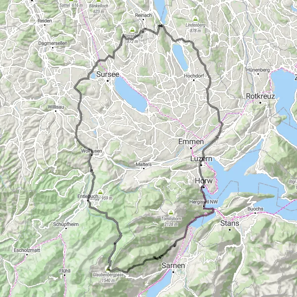
Journey through picturesque landscapes
Discover the scenic beauty of the route as you cycle through villages and countryside, with a total ascent of 1165 meters and a distance of 56 km. Experience the peaceful atmosphere and enjoy the tranquility of the surroundings.

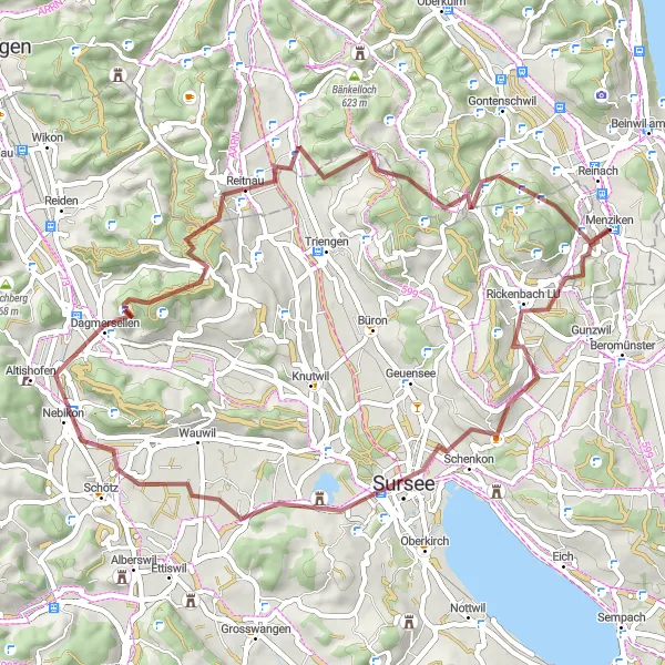
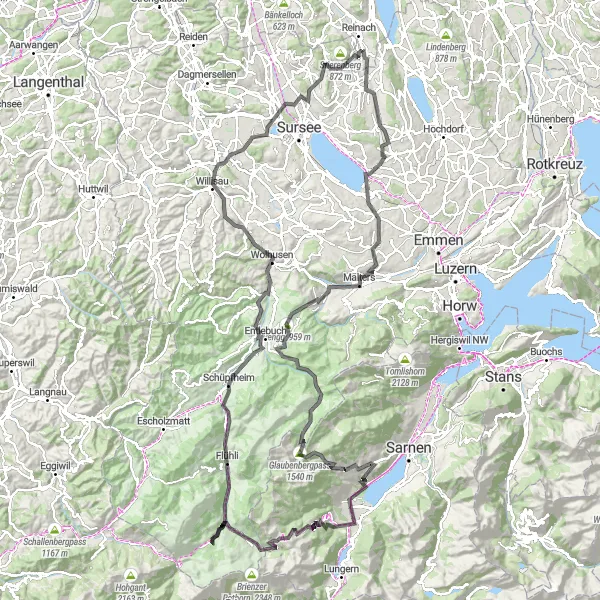
Scenic gravel journey with cultural highlights
Embark on a gravel cycling adventure with a total ascent of 1084 meters and a distance of 48 km. Pedal through picturesque landscapes and charming villages, with opportunities to explore cultural landmarks along the way. Enjoy the tranquil atmosphere and embrace the natural beauty of the surrounding countryside.
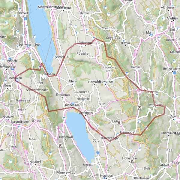
Trasa nabízí malebné výhledy na jezera a kopce
Trasa s převýšením 2633 metrů a délkou 145 kilometrů vede kolem jezer a vysokých hor. Cyklisté projíždějí okouzlujícími vesnicemi Aesch LU a Besenbüren a mohou si odpočinout ve vinicích a atraktivních místech.
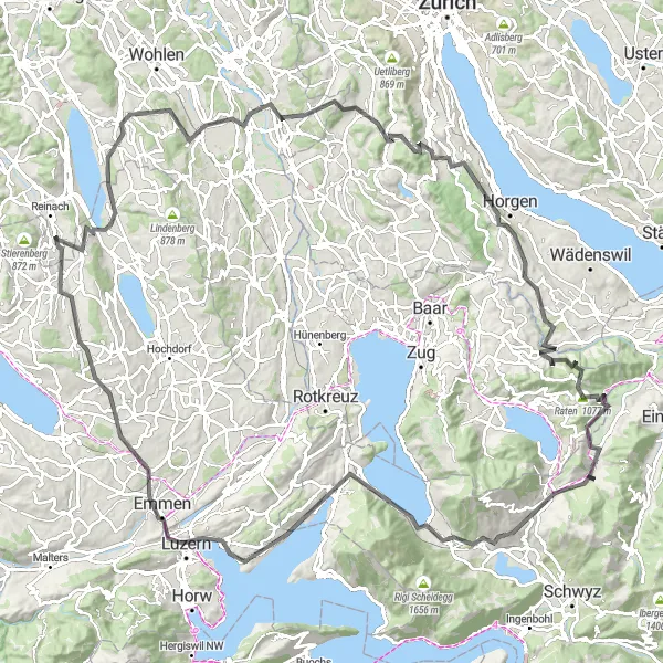
Epic road cycling adventure with breathtaking views
Embark on a challenging road cycling journey with a total ascent of 3690 meters and a distance of 166 km. Traverse through stunning landscapes and pass by significant landmarks such as Wallfahrtskirche Gormund and Burgruine Rudenz. Experience the thrill of conquering the Glaubenbergpass and enjoy the beautiful natural surroundings along the route.
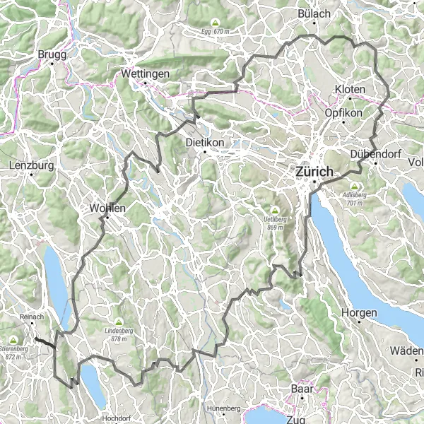
Okružní stezka z Menziku
Vydejte se na malebnou okružní trasu z Menziku napříč krajinou Nordwestschweiz.
Tato 130 km dlouhá cestou je náročná, s převýšením 2732 m. Trasa vede skrz malebné obce a přírodní památky, nabízí výhledy na hory a je ideální pro zkušené cyklisty, kteří si chtějí užít pestrou cyklistickou výzvu.
Exkurze nabízí dobrodružství v divočině a přírodní scenérii
Trasa s převýšením 1003 metrů a délkou 39 kilometrů vede po hřebenech a skrz lesy a louky. Cyklisté mohou objevovat divokou přírodu a pozorovat zvířata v přírodním prostředí.
Trasa nabízí panoramatické výhledy na hory a lesy
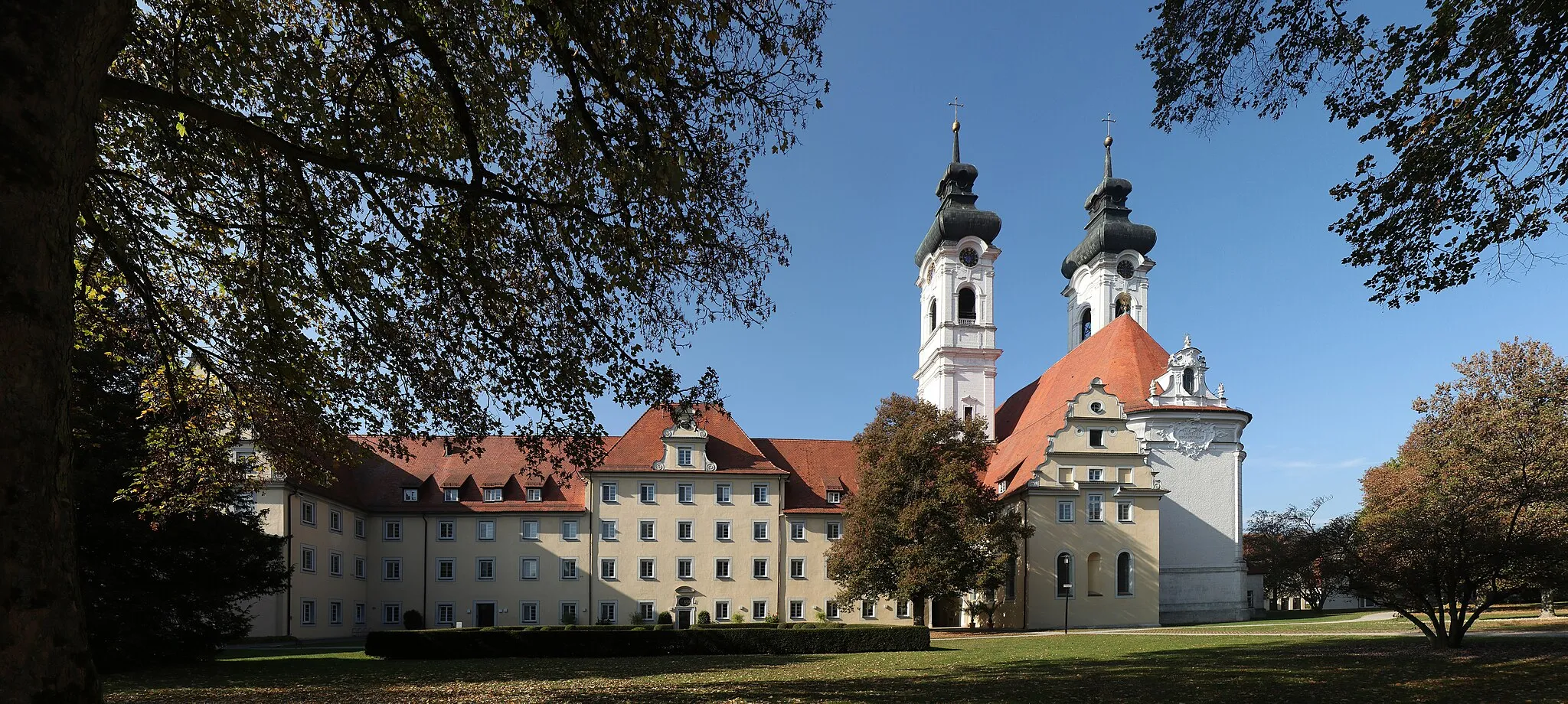
Trasa s převýšením 2820 metrů a délkou 149 kilometrů vede cyklisty okolo impozantních hor a lesů. Cestou mohou objevovat historické památky a malebné vesnice, jako je Künten a Buchs.
Cyklotrasy v okolí:
Okolní oblasti: