![Cover image](https://images.tarmacs.app/cycling-routes/covers/switzerland/ostschweiz/felsberg-4.webp)
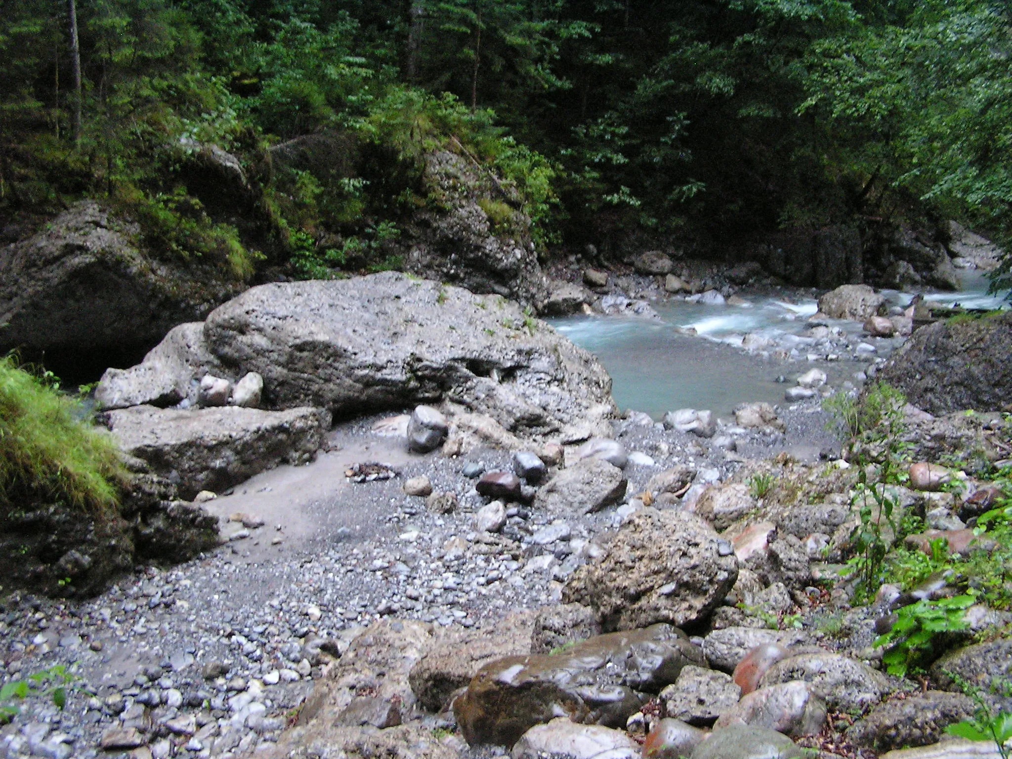
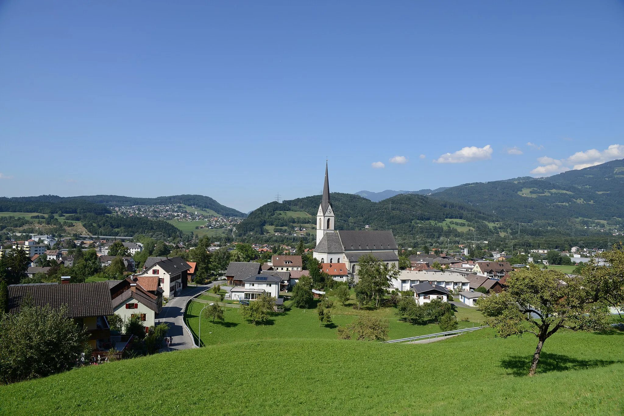
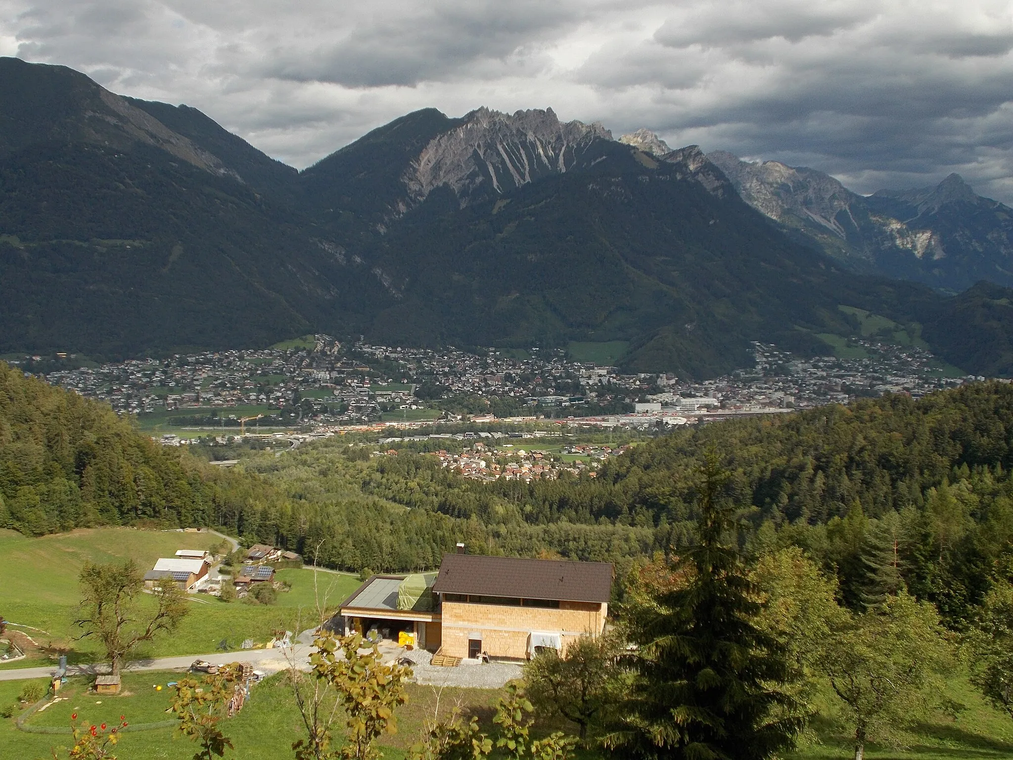
Rozmanitý terén a malebná krajina.
Cyklistické trasy kolem Felsberg
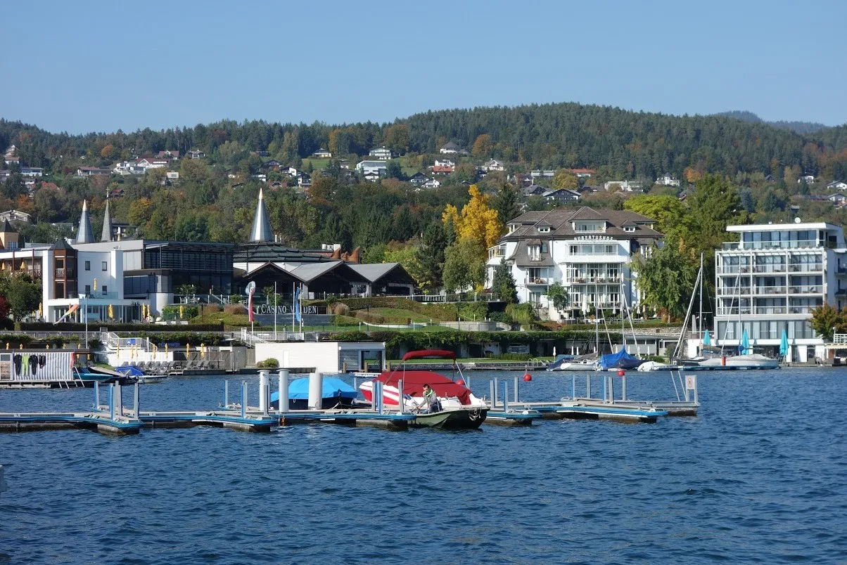
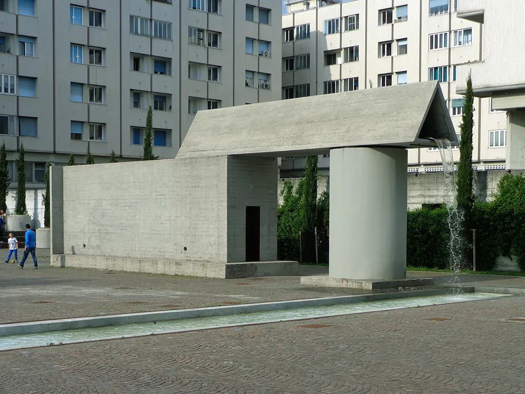
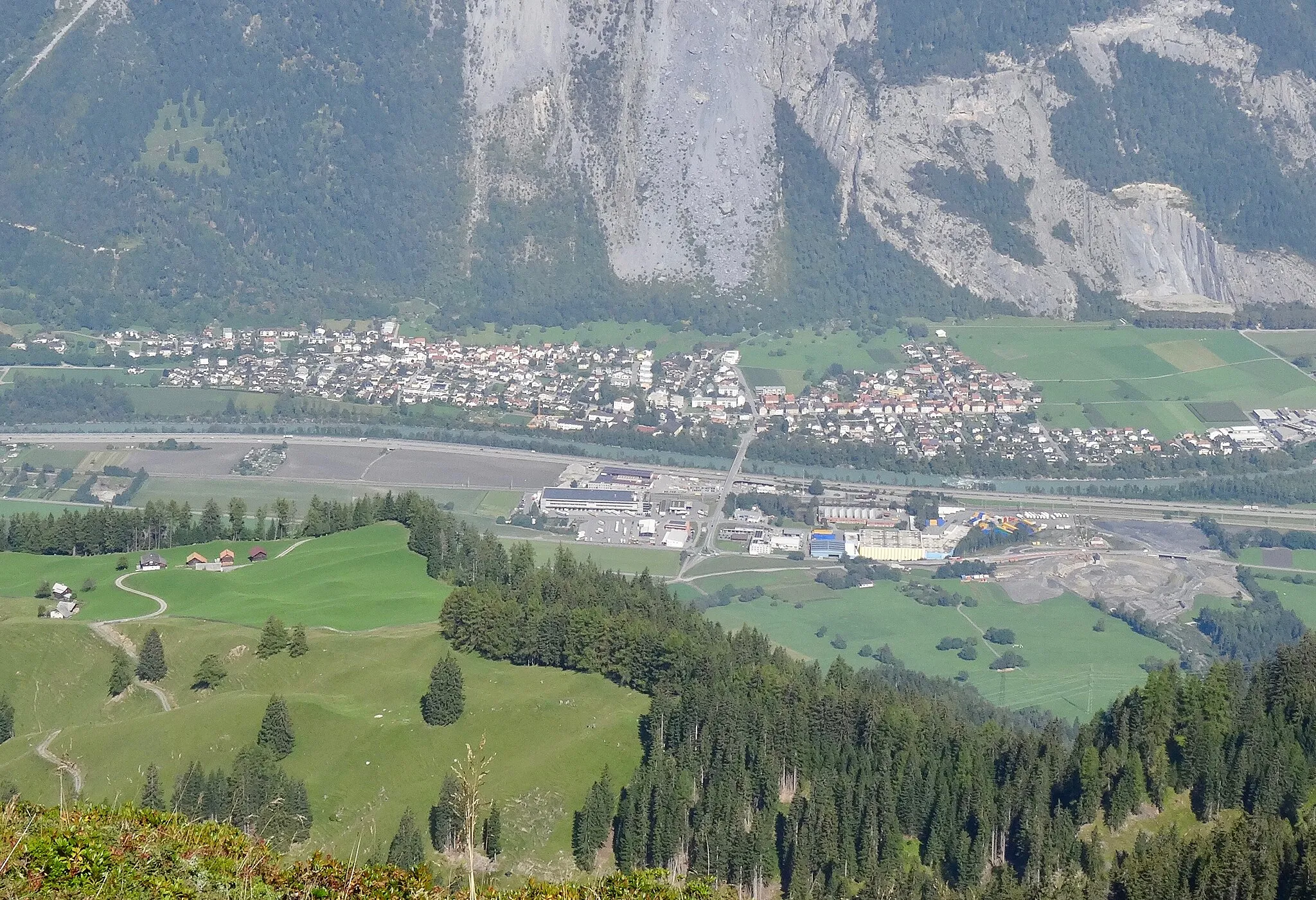
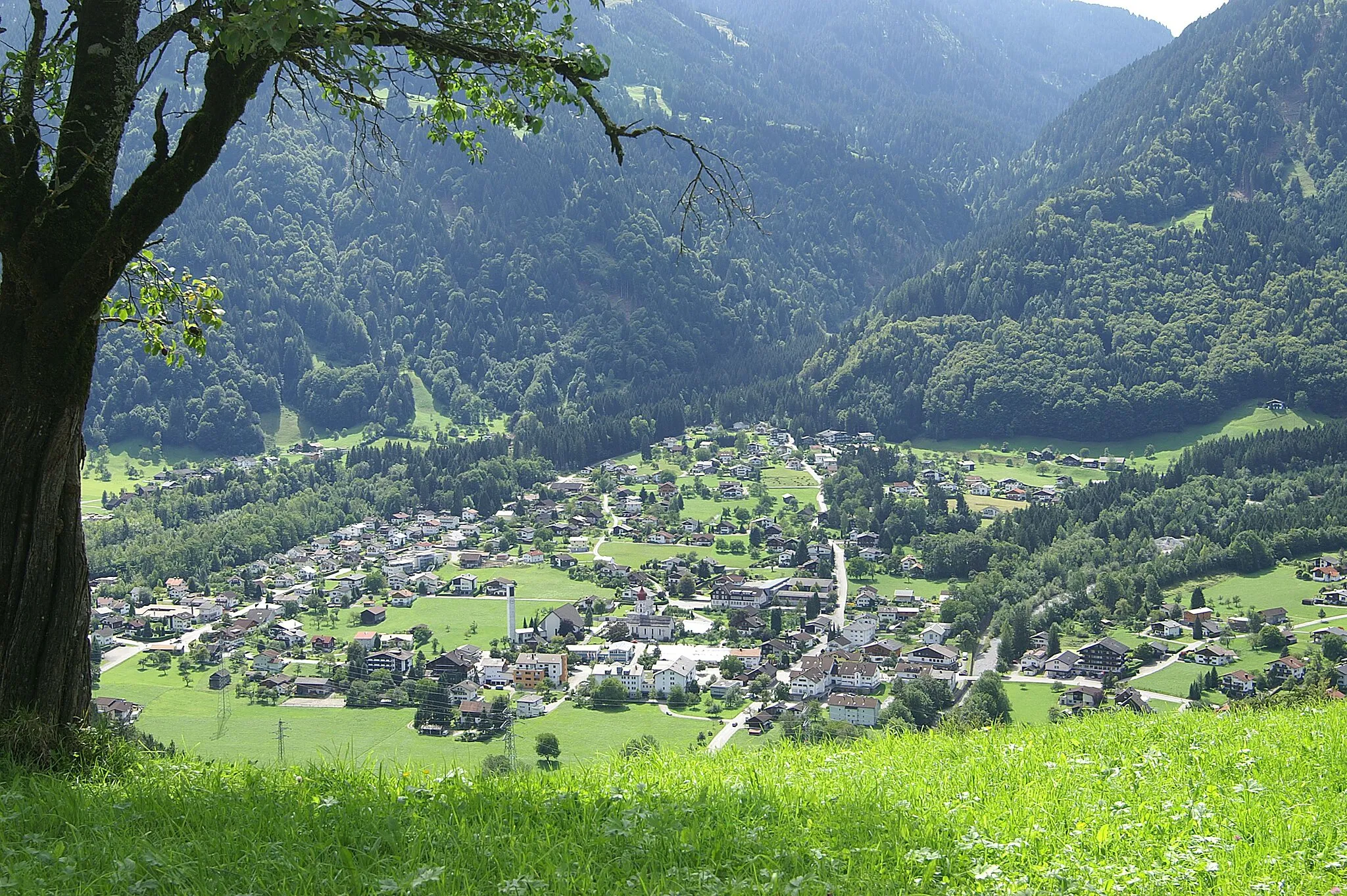
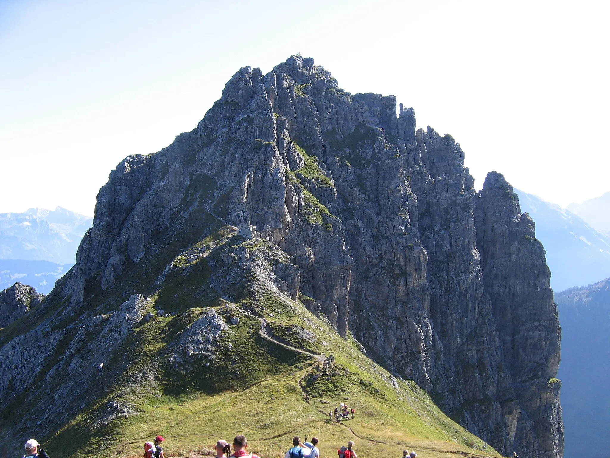
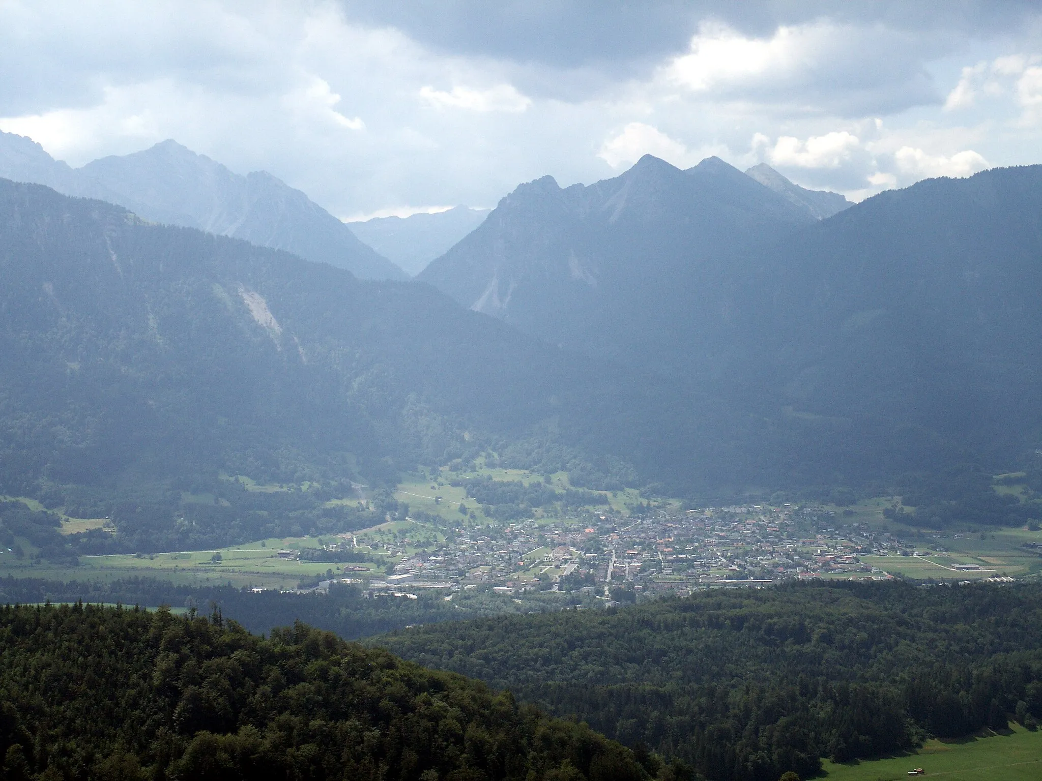
Felsberg je ideálním místem pro cyklisty, kteří milují rozmanitost terénu a malebnou krajinu. V okolí se nachází několik známých cyklistických tras a stoupání, která poskytují výzvy pro zkušené jezdce.
![Miniaturní mapa "Okruh okolo Ilanzu a Flims" inspirace pro cyklisty v oblasti Ostschweiz, Switzerland. Vytvořeno pomocí plánovače tras Tarmacs.app](https://images.tarmacs.app/cycling-routes/routemaps/600/switzerland/ostschweiz/felsberg/road/187814.webp)
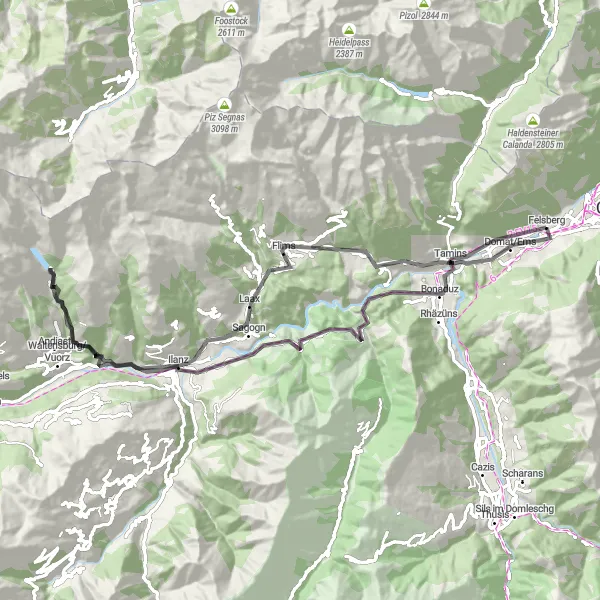
Pestrý okruh s výškovým rozdílem 2529 metrů a délkou 83 kilometrů.
Tento silniční okruh vás provede malebnou krajinou od Tamins až po Flims. Trasa zahrnuje tradiční vesnice jako Bot Danisch a Versam. Po cestě objevíte historická místa a úchvatné scenérie severních Alp.
![Miniaturní mapa "Gravel Tour around Felsberg" inspirace pro cyklisty v oblasti Ostschweiz, Switzerland. Vytvořeno pomocí plánovače tras Tarmacs.app](https://images.tarmacs.app/cycling-routes/routemaps/600/switzerland/ostschweiz/felsberg/gravel/215018.webp)
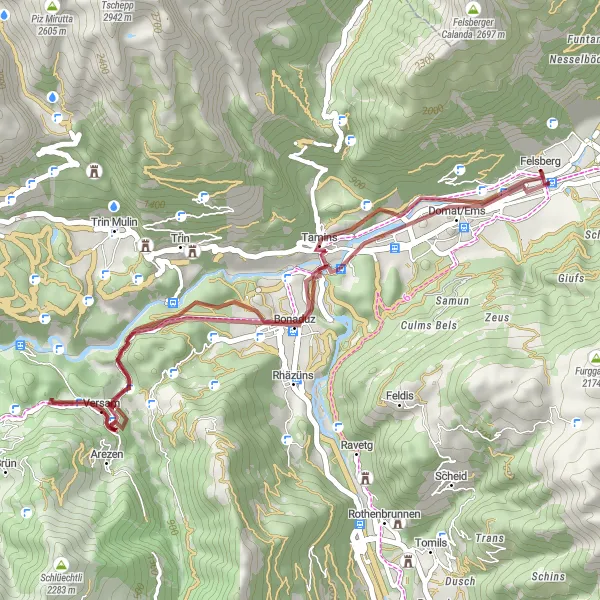
Exciting gravel ride with stunning views in the Ostschweiz region
This 38km gravel route starting near Felsberg offers a thrilling adventure with 1199m ascent. The ride takes you through picturesque Tamins and Bot Danisch, continuing to Islabord and Bonaduz. The highlight is the Tuma Casté and finally back to Felsberg.
![Miniaturní mapa "Okruh kolem Felsbergu a Churu" inspirace pro cyklisty v oblasti Ostschweiz, Switzerland. Vytvořeno pomocí plánovače tras Tarmacs.app](https://images.tarmacs.app/cycling-routes/routemaps/600/switzerland/ostschweiz/felsberg/gravel/187802.webp)
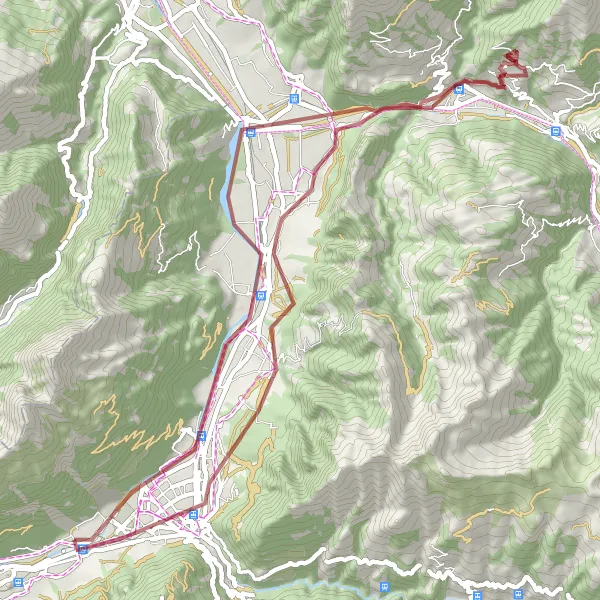
Zajímavý okruh s výškovým rozdílem 1395 metrů a délkou 60 kilometrů.
Tento gravelový okruh nabízí pestré výhledy na krajinu kolem Felsbergu a Churu. Trasa vede přes Haldenstein, Landquart a další malebná místa. Po cestě objevíte úžasné scenérie a malebné vesničky.
![Miniaturní mapa "Od Zizers po panoramatickou cestu kolem Davosu" inspirace pro cyklisty v oblasti Ostschweiz, Switzerland. Vytvořeno pomocí plánovače tras Tarmacs.app](https://images.tarmacs.app/cycling-routes/routemaps/600/switzerland/ostschweiz/felsberg/road/215024.webp)
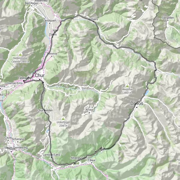
Nádherná cesta plná horských výhledů a historie
Tato 120 km dlouhá silniční trasa vede od Zizers přes Küblis a Wolfgangpass až do Davosu. Admire the views of the Wiesner Viadukt and relax in Schmitten. Postě hučský eye-catching Churwalden on your way back to Chur.
![Miniaturní mapa "Gravel cesta okolo Domat/Ems a Thusisu" inspirace pro cyklisty v oblasti Ostschweiz, Switzerland. Vytvořeno pomocí plánovače tras Tarmacs.app](https://images.tarmacs.app/cycling-routes/routemaps/600/switzerland/ostschweiz/felsberg/gravel/214738.webp)
Krásná a klidná cesta vhodná pro všechny cyklisty
Tato 44 km dlouhá štěrková trasa vás provede malebnou krajinou okolo Domat/Ems, Tuma Falveng a Bonaduzu. Zažijte pohodu jízdy mezi přírodou a odpočiňte si v Tuma Casté. Cycle back from Tuma Falveng to Felsberg.
![Miniaturní mapa "Okruh kolem Vättisu a Kunkelspassu" inspirace pro cyklisty v oblasti Ostschweiz, Switzerland. Vytvořeno pomocí plánovače tras Tarmacs.app](https://images.tarmacs.app/cycling-routes/routemaps/600/switzerland/ostschweiz/felsberg/gravel/187823.webp)
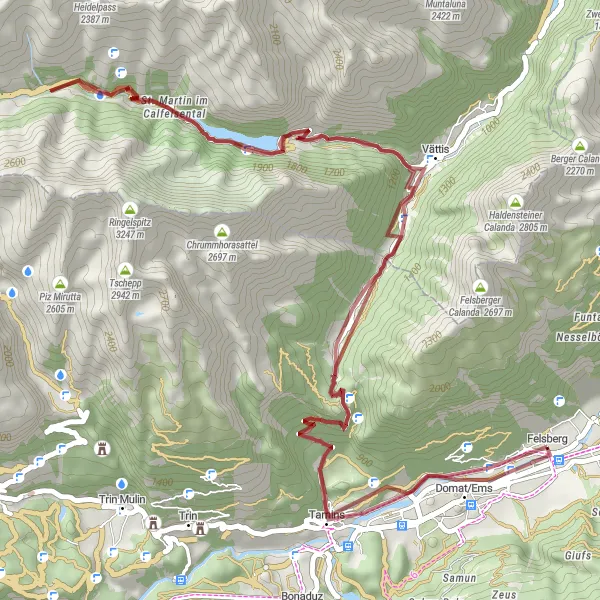
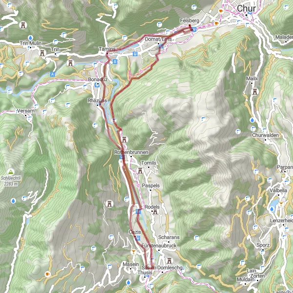
Náročný okruh s výškovým rozdílem 3405 metrů a délkou 64 kilometrů.
Tento gravelový okruh vás proveze kolem Domat/Ems a dále do Vättisu a Tamins. Trasa zahrnuje i St. Martin im Calfeisental a Kunkelspass, které jsou známé svými úchvatnými scenériemi a přírodními krásami.
![Miniaturní mapa "Extended Gravel Adventure near Felsberg" inspirace pro cyklisty v oblasti Ostschweiz, Switzerland. Vytvořeno pomocí plánovače tras Tarmacs.app](https://images.tarmacs.app/cycling-routes/routemaps/600/switzerland/ostschweiz/felsberg/gravel/219883.webp)
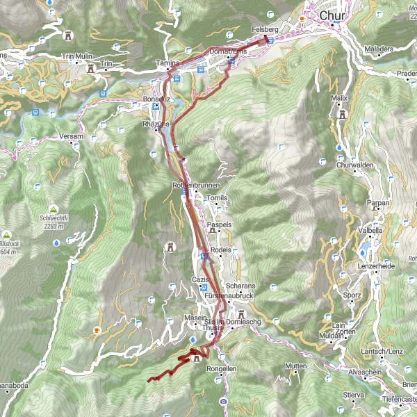
Explore remote gravel paths and mountainous terrain in Ostschweiz
Embark on a challenging 63km gravel adventure with 1927m ascent, starting from Felsberg. Cycle through rugged landscapes to Tuma Falveng and Rothenbrunnen, then reach Sils im Domleschg and Thusis. Discover the beauty of Rhäzüns before arriving at Tuma Casté and returning to Felsberg.
![Miniaturní mapa "Kolem Balzers až do Trübbachu" inspirace pro cyklisty v oblasti Ostschweiz, Switzerland. Vytvořeno pomocí plánovače tras Tarmacs.app](https://images.tarmacs.app/cycling-routes/routemaps/600/switzerland/ostschweiz/felsberg/road/215327.webp)
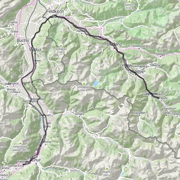
Dlouhá cesta plná historie a přírodních krás
Tato 199 km dlouhá silniční trasa vede od Zizers přes Balzers a Känzile až do Chur. Explore the historical landmarks in Rabenstein and Kirchenstein. Enjoy the panoramic views from Landschrofen-Känzili and relax in Bad Ragaz after a long ride through the mountains.
![Miniaturní mapa "Okruh kolem Trimmisu a Churu" inspirace pro cyklisty v oblasti Ostschweiz, Switzerland. Vytvořeno pomocí plánovače tras Tarmacs.app](https://images.tarmacs.app/cycling-routes/routemaps/600/switzerland/ostschweiz/felsberg/road/187853.webp)
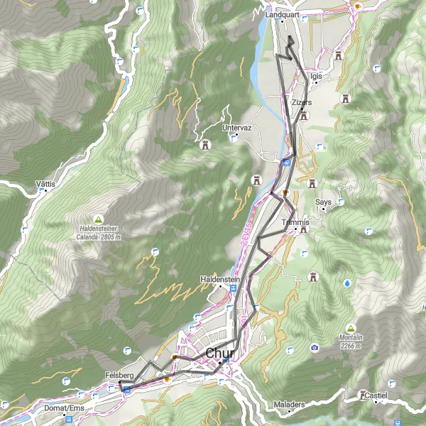
Příjemný okruh s výškovým rozdílem 346 metrů a délkou 39 kilometrů.
Tento silniční okruh vás zavede kolem Trimmisu a Igisu až do Felsbergu. Během jízdy se můžete těšit na nádherné výhledy na krajinu a historické památky v této oblasti.
![Miniaturní mapa "Z Churu kolem několika malebných švýcarských vesniček" inspirace pro cyklisty v oblasti Ostschweiz, Switzerland. Vytvořeno pomocí plánovače tras Tarmacs.app](https://images.tarmacs.app/cycling-routes/routemaps/600/switzerland/ostschweiz/felsberg/road/187884.webp)
Okružní cesta plná horských výhledů a historie
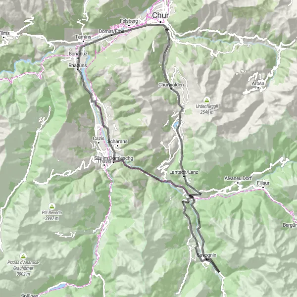
Tato 92 km dlouhá silniční trasa nabízí úchvatné výhledy na švýcarskou krajinu a projíždí malebnými vesnicemi jako Lantsch/Lenz a Savognin. Vrcholky Motta Vallac a Alvaschein nezůstávají pozadu. Cycle from Domat/Ems back to Felsberg via Rhäzüns.
Cyklotrasy v okolí:
![Obrázek Vandans](https://images.tarmacs.app/cycling-routes/covers/austria/vorarlberg/vandans-3.webp)
![Obrázek Tschagguns](https://images.tarmacs.app/cycling-routes/covers/austria/vorarlberg/tschagguns-5.webp)
![Obrázek Nenzing](https://images.tarmacs.app/cycling-routes/covers/austria/vorarlberg/nenzing-5.webp)
![Obrázek Bürs](https://images.tarmacs.app/cycling-routes/covers/austria/vorarlberg/buers-5.webp)
![Obrázek Schruns](https://images.tarmacs.app/cycling-routes/covers/austria/vorarlberg/schruns-4.webp)
![Obrázek Bartholomäberg](https://images.tarmacs.app/cycling-routes/covers/austria/vorarlberg/bartholomaeberg-5.webp)
![Obrázek Schlins](https://images.tarmacs.app/cycling-routes/covers/austria/vorarlberg/schlins-3.webp)
![Obrázek Frastanz](https://images.tarmacs.app/cycling-routes/covers/austria/vorarlberg/frastanz-5.webp)
![Obrázek Bludenz](https://images.tarmacs.app/cycling-routes/covers/austria/vorarlberg/bludenz-5.webp)
Okolní oblasti:
![Obrázek Kärnten](https://images.tarmacs.app/cycling-routes/covers/austria/karnten/velden-am-woerthersee-4.webp)
![Obrázek Steiermark](https://images.tarmacs.app/cycling-routes/covers/austria/steiermark/sankt-stefan-im-rosental-5.webp)
![Obrázek Oberösterreich](https://images.tarmacs.app/cycling-routes/covers/austria/oberosterreich/seewalchen-2.webp)
![Obrázek Salzburg](https://images.tarmacs.app/cycling-routes/covers/austria/salzburg/sankt-michael-im-lungau-4.webp)
![Obrázek Tirol](https://images.tarmacs.app/cycling-routes/covers/austria/tirol/voldoepp-4.webp)
![Obrázek Vorarlberg](https://images.tarmacs.app/cycling-routes/covers/austria/vorarlberg/schlins-4.webp)
![Obrázek Zürich](https://images.tarmacs.app/cycling-routes/covers/switzerland/zurich/rumlang-2.webp)
![Obrázek Ticino](https://images.tarmacs.app/cycling-routes/covers/switzerland/ticino/novazzano-3.webp)
![Obrázek Tübingen](https://images.tarmacs.app/cycling-routes/covers/germany/tubingen/zwiefalten-5.webp)
![Obrázek Schwaben](https://images.tarmacs.app/cycling-routes/covers/germany/schwaben/langerringen-5.webp)
![Obrázek Lombardia](https://images.tarmacs.app/cycling-routes/covers/italy/lombardia/segrate-3.webp)
![Obrázek Provincia Autonoma di Bolzano/Bozen](https://images.tarmacs.app/cycling-routes/covers/italy/provincia-autonoma-di-bolzano-bozen/brennero-4.webp)
![Obrázek Liechtenstein](https://images.tarmacs.app/cycling-routes/covers/liechtenstein/liechtenstein/ruggell-4.webp)