![Cover image](https://images.tarmacs.app/cycling-routes/covers/switzerland/ostschweiz/lenzerheide-4.webp)
Různorodé cyklistické trasy a známá stoupání.
Cyklistické trasy kolem Lenzerheide
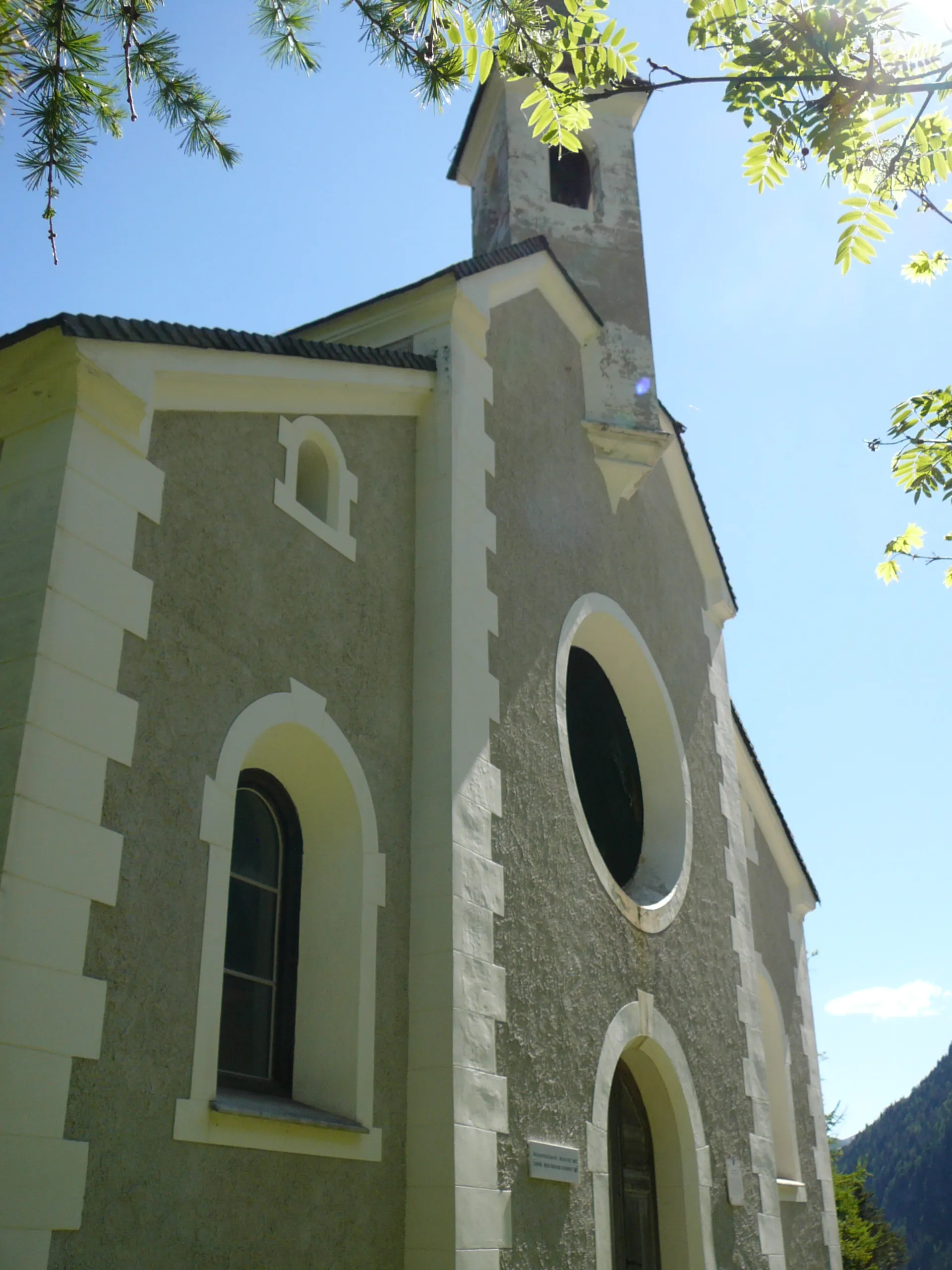
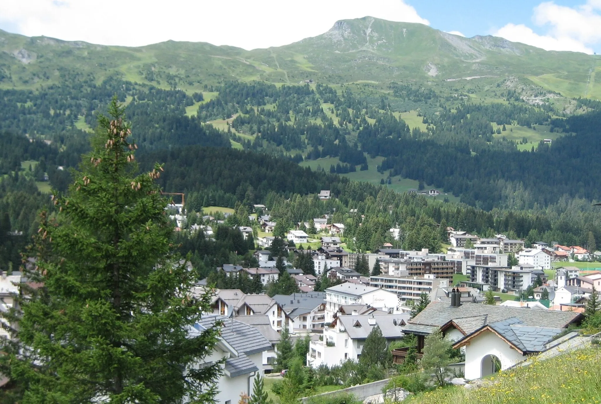
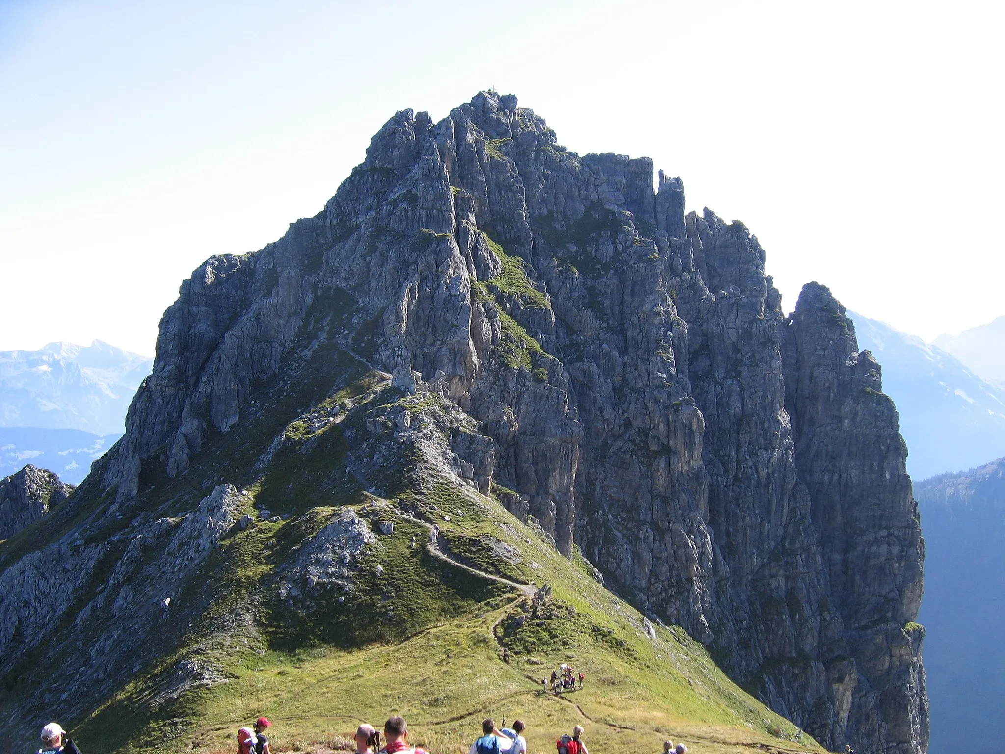
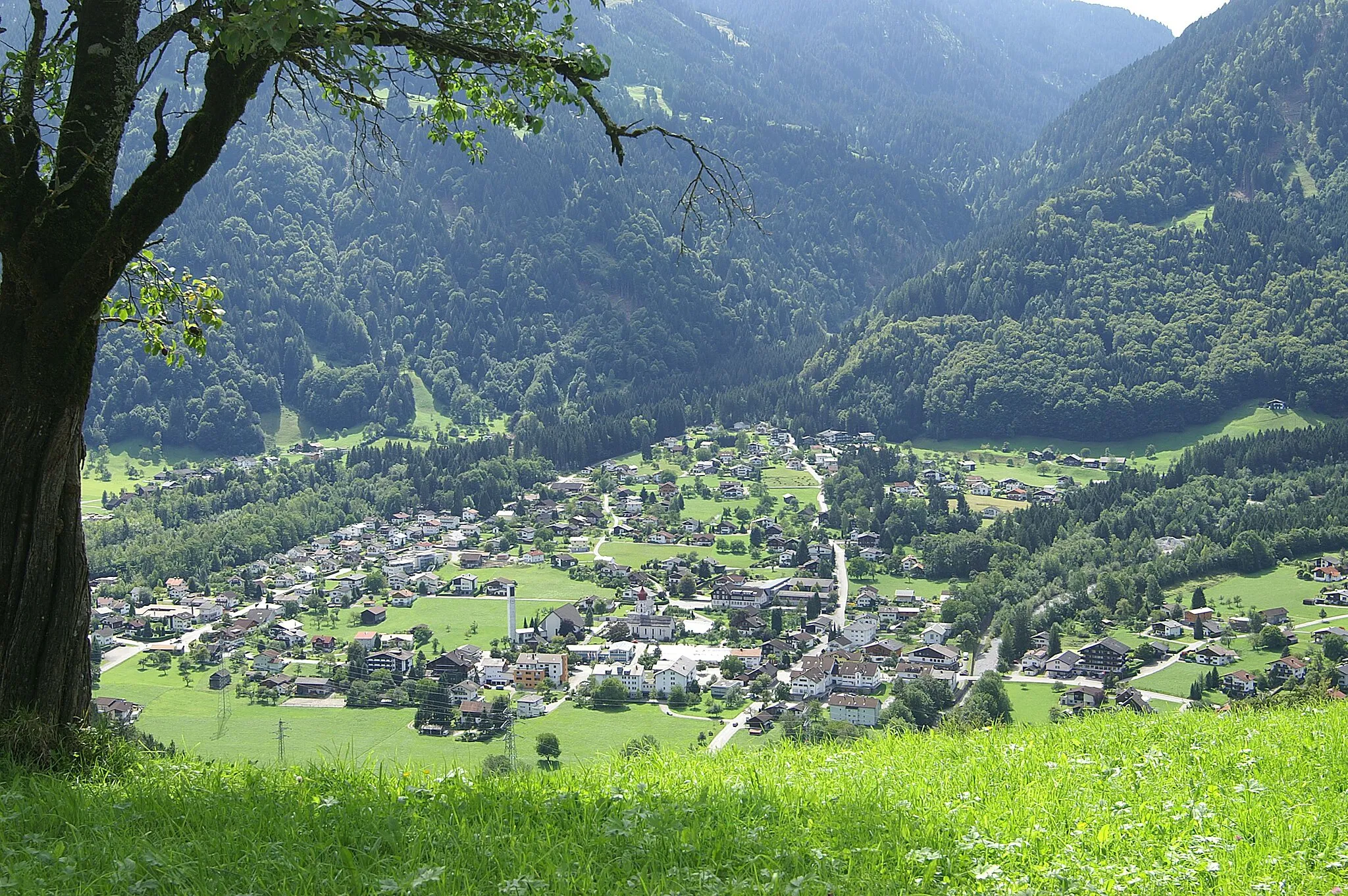
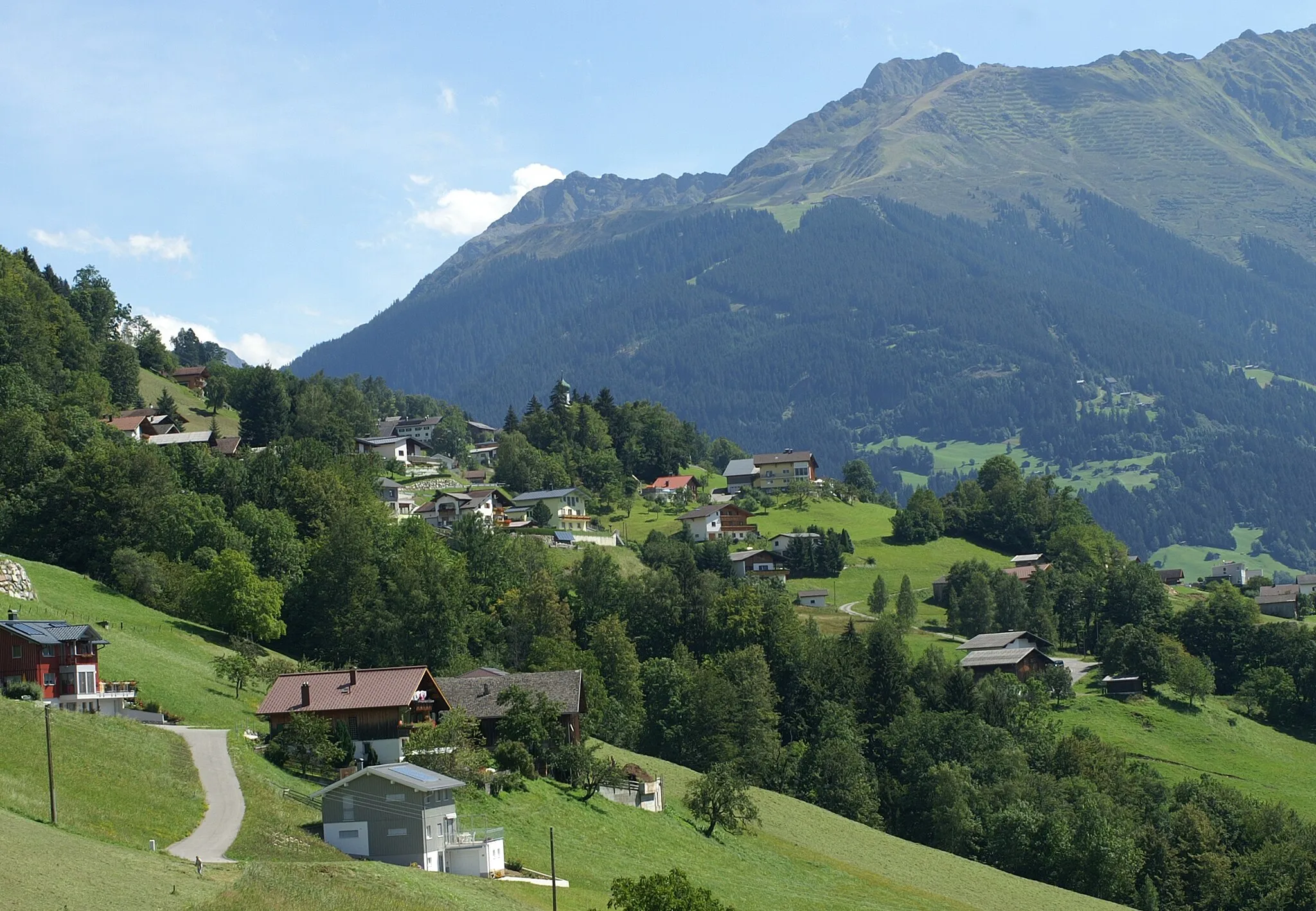
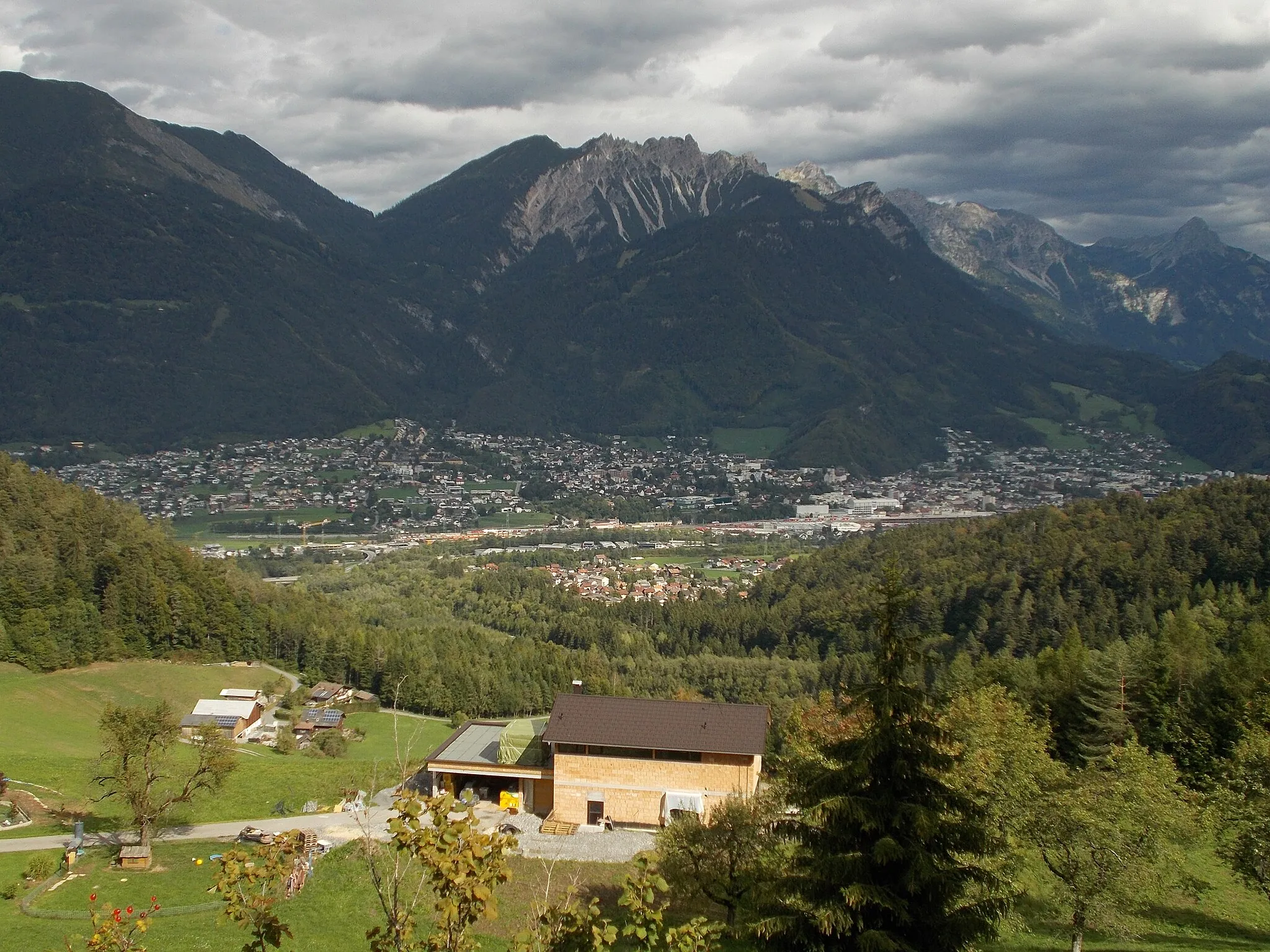
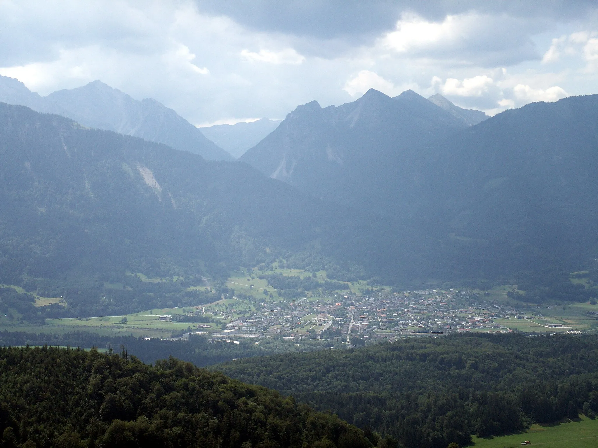
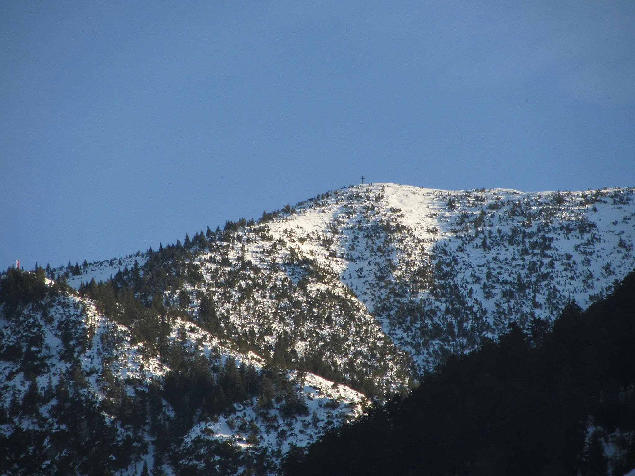
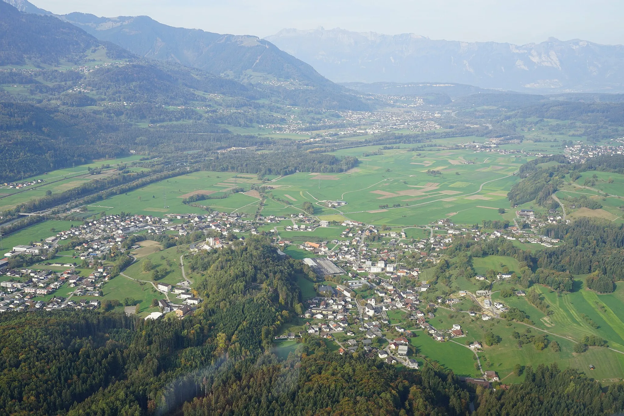
Lenzerheide je populární švýcarská lokalita v regionu Ostschweiz. Zdejší krajina nabízí různorodé cyklistické trasy vhodné pro silniční cyklisty i gravelbikery. V okolí se nachází známé cyklistické tratě a stoupání, která jsou oblíbená mezi amatérskými i profesionálními cyklisty.
![Miniaturní mapa "Okružní cesta Lenzerheide - Plam Pedra Purtgera" inspirace pro cyklisty v oblasti Ostschweiz, Switzerland. Vytvořeno pomocí plánovače tras Tarmacs.app](https://images.tarmacs.app/cycling-routes/routemaps/600/switzerland/ostschweiz/lenzerheide/road/315478.webp)
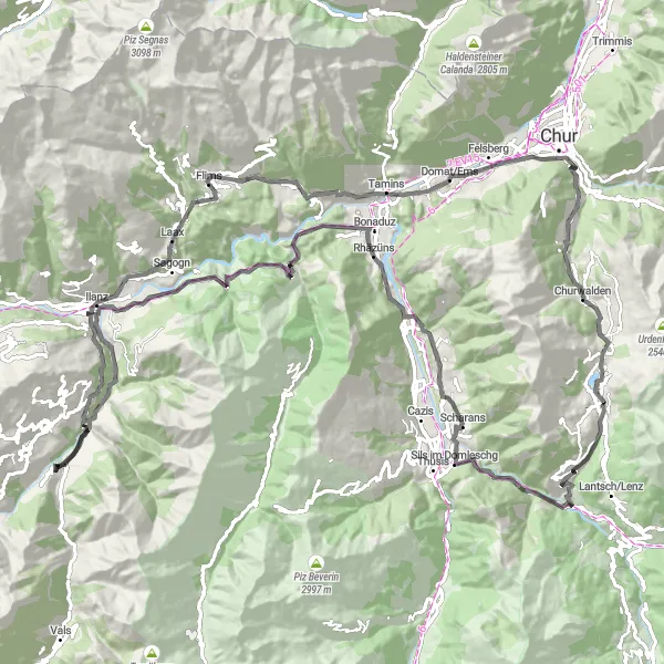
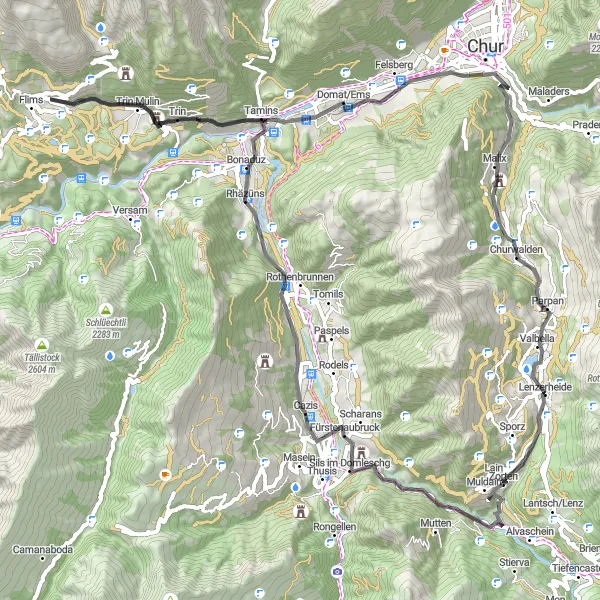
Zajímavá okružní cesta s významným stoupáním a délkou 123 km
Tato cyklotrasa nabízí nádherné výhledy na malebné městečko Sils im Domleschg, historické památky v Rothenbrunnen a jedinečnou atmosféru ve Valendas. Zajímavostí je také návštěva Laax a historického Schlössli Parpan.
![Miniaturní mapa "Gravelová trasa Tiefencastel-Tinizong" inspirace pro cyklisty v oblasti Ostschweiz, Switzerland. Vytvořeno pomocí plánovače tras Tarmacs.app](https://images.tarmacs.app/cycling-routes/routemaps/600/switzerland/ostschweiz/lenzerheide/gravel/315503.webp)
Zajímavá gravelová cesta plná malebných výhledů a zajímavých míst
Krásná 76km dlouhá trasa nabízí 2934m stoupání a projíždí místa jako Rona, Tgarnet nebo Motta Vallac. Trasa je ideální pro milovníky gravlových dobrodružství.
![Miniaturní mapa "Cyklistická trasa od Lenzerheide" inspirace pro cyklisty v oblasti Ostschweiz, Switzerland. Vytvořeno pomocí plánovače tras Tarmacs.app](https://images.tarmacs.app/cycling-routes/routemaps/600/switzerland/ostschweiz/lenzerheide/road/315493.webp)
Prozkoumejte malebnou krajinu s výstupem 2408 metrů na 80 km dlouhé cestě.
Projížďka na kole po asfaltových cestách vedoucích skrz města a vesnice ve východním Švýcarsku nabízí pohledy na krásné pamětihodnosti a přírodu, která vás zaujme. Své kolo si můžete odpočinout v malebných částech jako Plam Pedra Purtgera nebo Tuma Falveng.
![Miniaturní mapa "Gravel Bike Tour from Lenzerheide" inspirace pro cyklisty v oblasti Ostschweiz, Switzerland. Vytvořeno pomocí plánovače tras Tarmacs.app](https://images.tarmacs.app/cycling-routes/routemaps/600/switzerland/ostschweiz/lenzerheide/gravel/327554.webp)
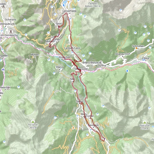
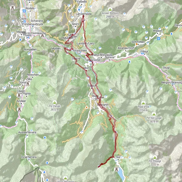
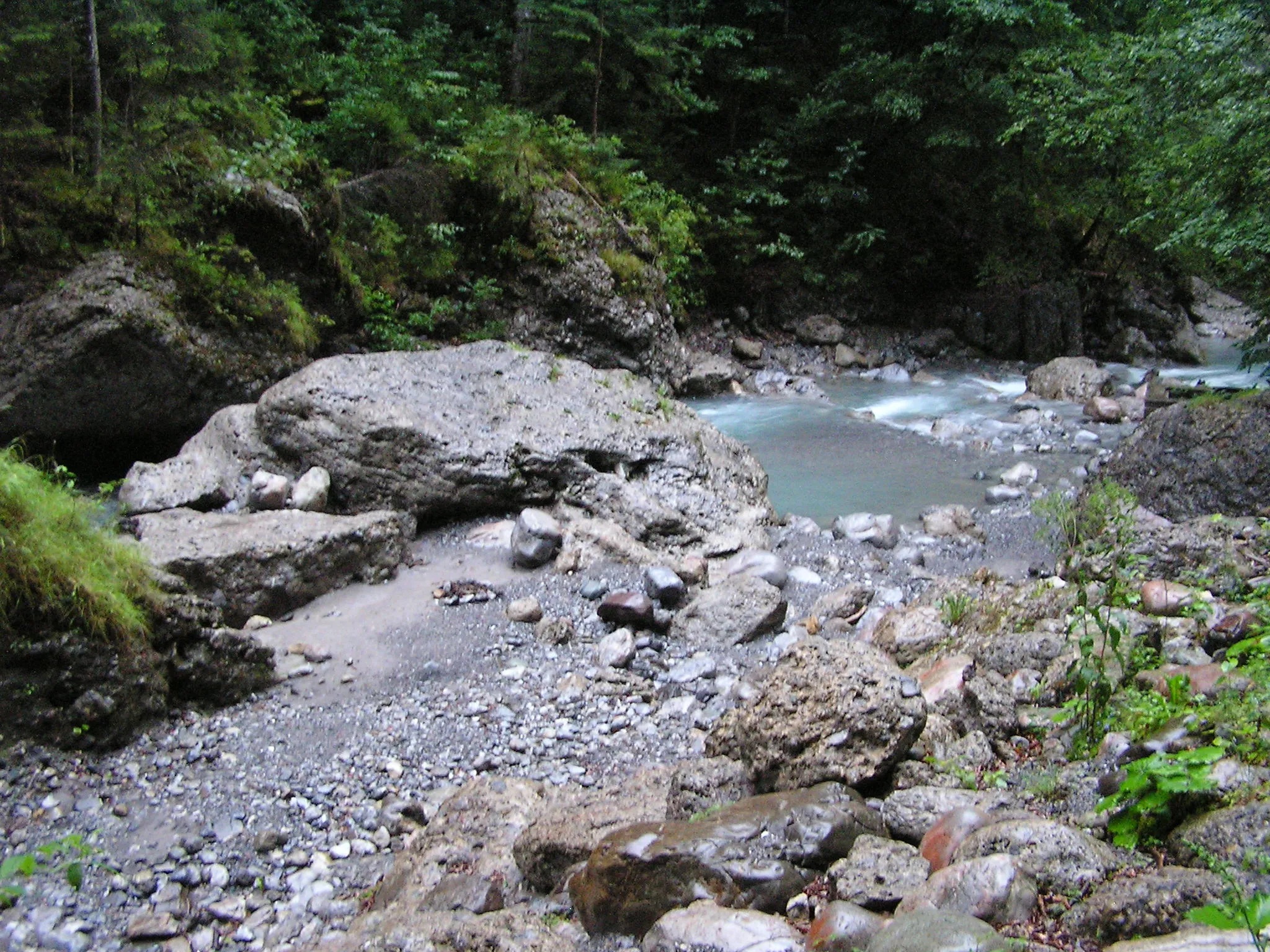
Explore the rugged terrain near Lenzerheide on this challenging gravel bike route.
This 51 km route with 1909 meters of ascent takes you through picturesque landscapes and charming villages. Highlights include the quaint village of Lain, the historic Burvagn church, and the scenic Salouf valley. Enjoy a break at Motta Vallac with stunning mountain views before heading back through the idyllic villages of Lantsch and Lenz, ending in Lenzerheide.
![Miniaturní mapa "Lenzerheide - Splügenpass Loop" inspirace pro cyklisty v oblasti Ostschweiz, Switzerland. Vytvořeno pomocí plánovače tras Tarmacs.app](https://images.tarmacs.app/cycling-routes/routemaps/600/switzerland/ostschweiz/lenzerheide/road/315504.webp)
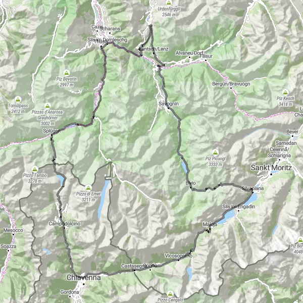
Breathtaking road cycling route with challenging ascents and incredible alpine scenery
Experience the best of the Ostschweiz region with this stunning round trip starting near Lenzerheide. This 179 km route will take you through picturesque villages such as Tiefencastel, Tinizong, and Silvaplana, as well as over iconic mountain passes like Julierpass and Splügen Pass. Stop at the Belvedere lookout for panoramic views and enjoy the photo opportunities at Viamala Gorge. This route is a true test of endurance and a must-do for road cycling enthusiasts.
![Miniaturní mapa "Gravelová projížďka poblíž Lenzerheide" inspirace pro cyklisty v oblasti Ostschweiz, Switzerland. Vytvořeno pomocí plánovače tras Tarmacs.app](https://images.tarmacs.app/cycling-routes/routemaps/600/switzerland/ostschweiz/lenzerheide/gravel/315479.webp)
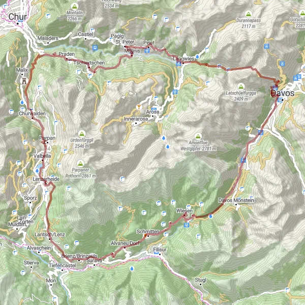
Jízda na kole s náročným stoupáním o 3592 metrech na 87 km dlouhé trase.
Trasa nabízí cyklistům malebnou krajinu a nádherné výhledy na okolní hory a údolí. Projedete malebnými vesnicemi a památkami jako Schatzalp nebo Wiesner Viadukt, což zaručeně stojí za to.
![Miniaturní mapa "Gravelová cesta kolem Lenzerheide" inspirace pro cyklisty v oblasti Ostschweiz, Switzerland. Vytvořeno pomocí plánovače tras Tarmacs.app](https://images.tarmacs.app/cycling-routes/routemaps/600/switzerland/ostschweiz/lenzerheide/gravel/315571.webp)
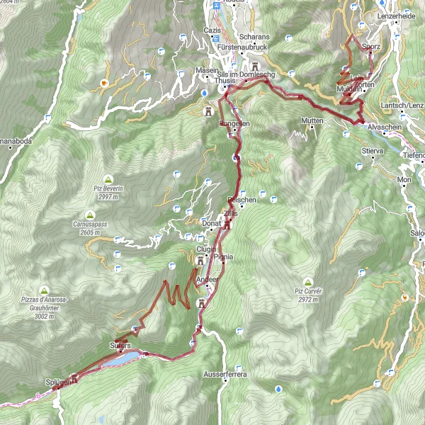
Projížďka 98 km dlouhá s náročným stoupáním o 4795 metrech na štěrkových cestách.
Gravelová trasa vede cyklisty skrze divokou krajinu s nádhernými výhledy a přátelskými místními obyvateli. Uvidíte malebné vesničky a pamětihodnosti jako Andeer nebo Bärenburg, které vás budou bavit.
![Miniaturní mapa "Lenzerheide - Wiesen: Krátká okružní cesta" inspirace pro cyklisty v oblasti Ostschweiz, Switzerland. Vytvořeno pomocí plánovače tras Tarmacs.app](https://images.tarmacs.app/cycling-routes/routemaps/600/switzerland/ostschweiz/lenzerheide/road/315496.webp)
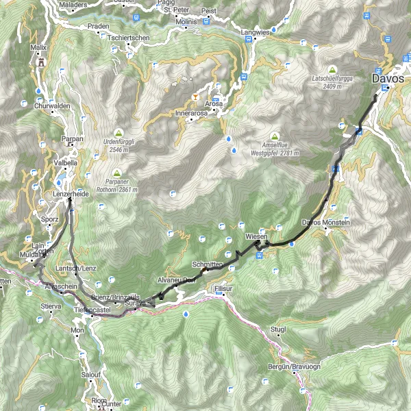
Příjemná okružní cesta s významným stoupáním a délkou 79 km
Tato cyklotrasa vás zavede kolem malebné Alvaneu Dorf, historické Frauenkirch, přes malebný Wiesen a Surava. Užijte si krásné výhledy a zastavte se na zajímavých místech.
![Miniaturní mapa "Cyklotrasa Lenzerheide - Julierpass" inspirace pro cyklisty v oblasti Ostschweiz, Switzerland. Vytvořeno pomocí plánovače tras Tarmacs.app](https://images.tarmacs.app/cycling-routes/routemaps/600/switzerland/ostschweiz/lenzerheide/road/315515.webp)
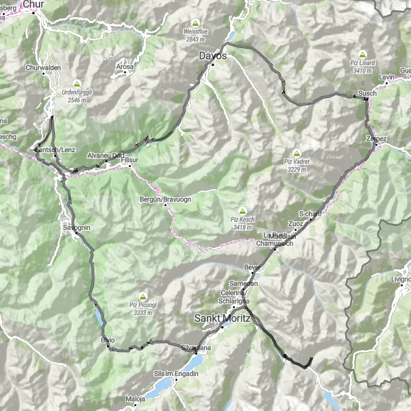
Náročná cesta s významným stoupáním a délkou 195 km
Tato cyklotrasa vás zavede kolem historických památek, přes malebné horské průsmyky a s výhledy na úchvatnou přírodu. Zastavte se v La Punt Chamues-ch, obdivujte krásu Silvaplana a užijte si atmosféru Julierpass.
![Miniaturní mapa "Cyklotrasa Churwalden - Brienz/Brinzauls" inspirace pro cyklisty v oblasti Ostschweiz, Switzerland. Vytvořeno pomocí plánovače tras Tarmacs.app](https://images.tarmacs.app/cycling-routes/routemaps/600/switzerland/ostschweiz/lenzerheide/gravel/315491.webp)
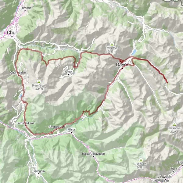
Gravelová trasa s náročným stoupáním a délkou 120 km
Tato cesta vede kolem malých vesniček, přes přírodní rezervace a s výhledem na úchvatné hory. Sehnete se v Tschiertschen, projděte Rot Tritt a podívejte se na panoramatické vyhlídky z Strelapass a Schatzalp.
Cyklotrasy v okolí:
![Obrázek Tschagguns](https://images.tarmacs.app/cycling-routes/covers/austria/vorarlberg/tschagguns-5.webp)
![Obrázek Vandans](https://images.tarmacs.app/cycling-routes/covers/austria/vorarlberg/vandans-3.webp)
![Obrázek Schruns](https://images.tarmacs.app/cycling-routes/covers/austria/vorarlberg/schruns-4.webp)
![Obrázek Bartholomäberg](https://images.tarmacs.app/cycling-routes/covers/austria/vorarlberg/bartholomaeberg-5.webp)
![Obrázek Bürs](https://images.tarmacs.app/cycling-routes/covers/austria/vorarlberg/buers-5.webp)
![Obrázek Bludenz](https://images.tarmacs.app/cycling-routes/covers/austria/vorarlberg/bludenz-5.webp)
![Obrázek Nenzing](https://images.tarmacs.app/cycling-routes/covers/austria/vorarlberg/nenzing-5.webp)
![Obrázek Nüziders](https://images.tarmacs.app/cycling-routes/covers/austria/vorarlberg/nueziders-5.webp)
![Obrázek Schlins](https://images.tarmacs.app/cycling-routes/covers/austria/vorarlberg/schlins-3.webp)
Okolní oblasti:
![Obrázek Kärnten](https://images.tarmacs.app/cycling-routes/covers/austria/karnten/hermagor-2.webp)
![Obrázek Steiermark](https://images.tarmacs.app/cycling-routes/covers/austria/steiermark/goessendorf-5.webp)
![Obrázek Oberösterreich](https://images.tarmacs.app/cycling-routes/covers/austria/oberosterreich/hart-5.webp)
![Obrázek Salzburg](https://images.tarmacs.app/cycling-routes/covers/austria/salzburg/anif-4.webp)
![Obrázek Tirol](https://images.tarmacs.app/cycling-routes/covers/austria/tirol/steinach-am-brenner-5.webp)
![Obrázek Vorarlberg](https://images.tarmacs.app/cycling-routes/covers/austria/vorarlberg/wolfurt-4.webp)
![Obrázek Zürich](https://images.tarmacs.app/cycling-routes/covers/switzerland/zurich/zuerich-kreis-10-wipkingen-3.webp)
![Obrázek Ticino](https://images.tarmacs.app/cycling-routes/covers/switzerland/ticino/stabio-5.webp)
![Obrázek Tübingen](https://images.tarmacs.app/cycling-routes/covers/germany/tubingen/dotternhausen-2.webp)
![Obrázek Schwaben](https://images.tarmacs.app/cycling-routes/covers/germany/schwaben/tapfheim-5.webp)
![Obrázek Lombardia](https://images.tarmacs.app/cycling-routes/covers/italy/lombardia/cornaredo-3.webp)
![Obrázek Provincia Autonoma di Bolzano/Bozen](https://images.tarmacs.app/cycling-routes/covers/italy/provincia-autonoma-di-bolzano-bozen/brennero-4.webp)
![Obrázek Liechtenstein](https://images.tarmacs.app/cycling-routes/covers/liechtenstein/liechtenstein/eschen-3.webp)