![Cover image](https://images.tarmacs.app/cycling-routes/covers/switzerland/ostschweiz/speicher-4.webp)
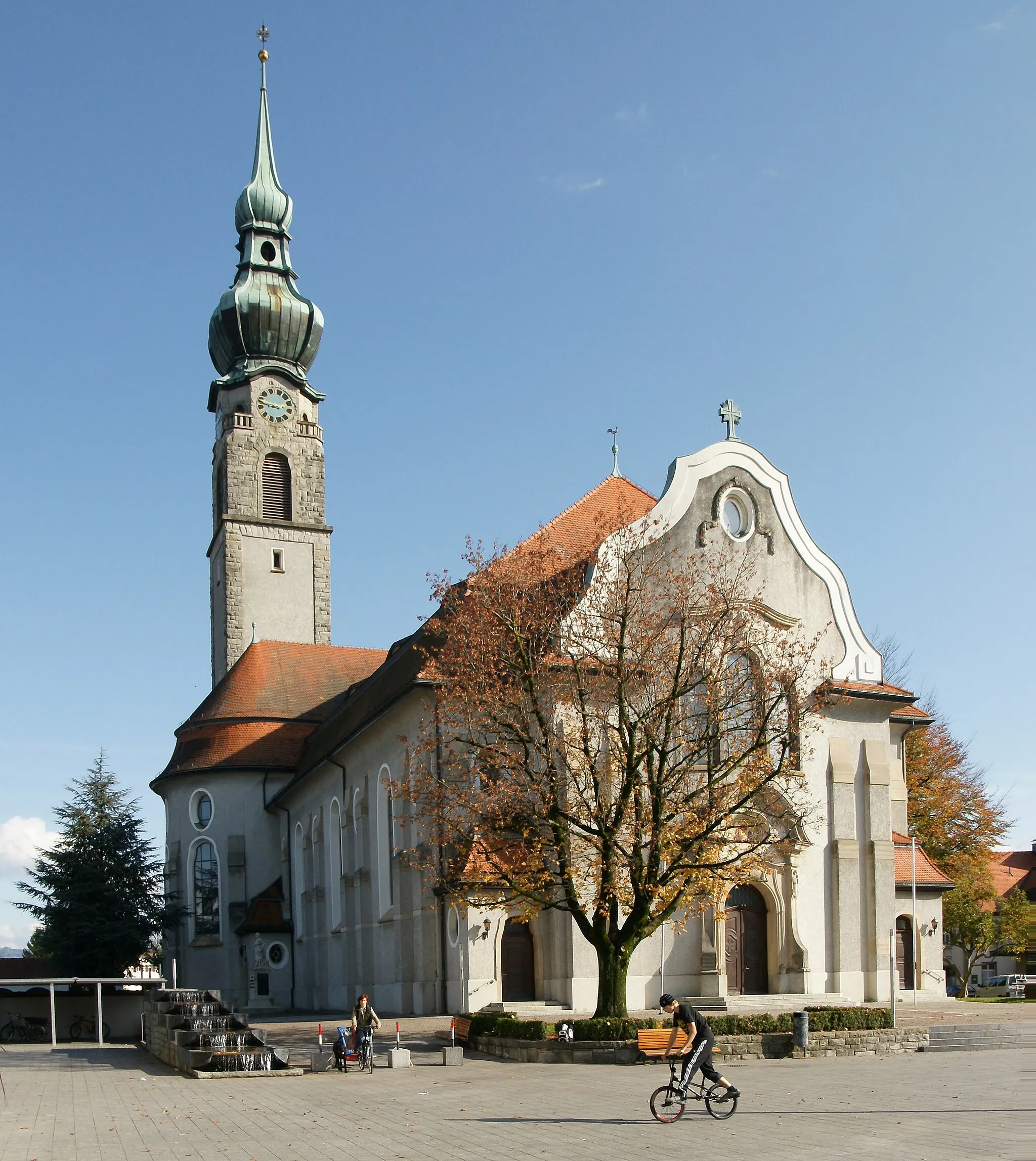
Speicher - ideální místo pro silniční cyklistiku ve Švýcarsku
Cyklistické trasy kolem Speicher
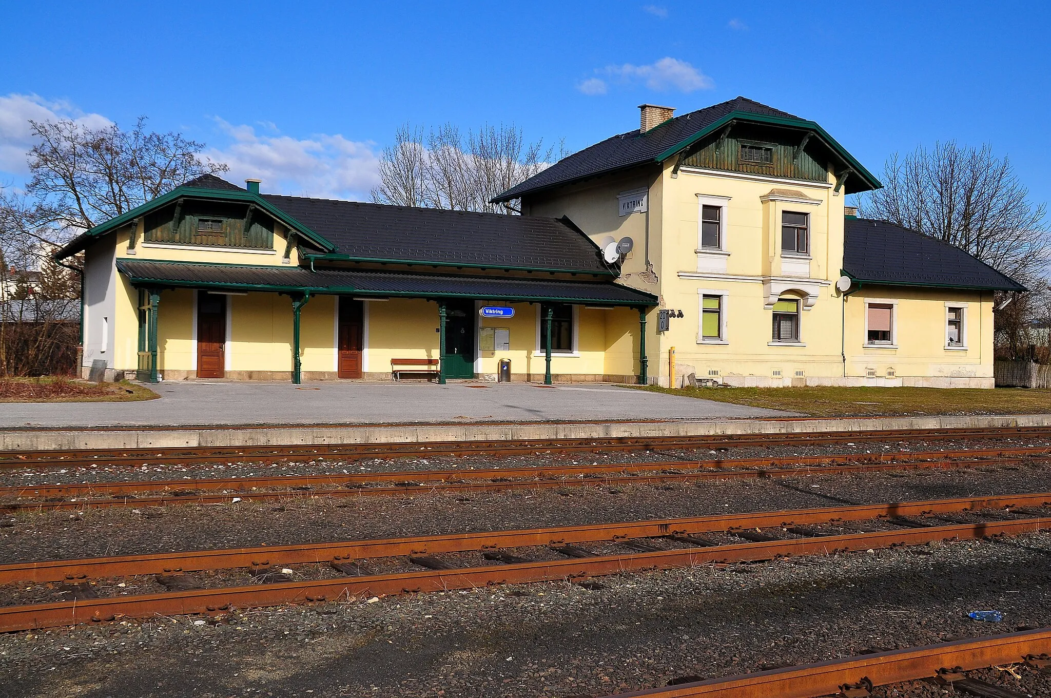
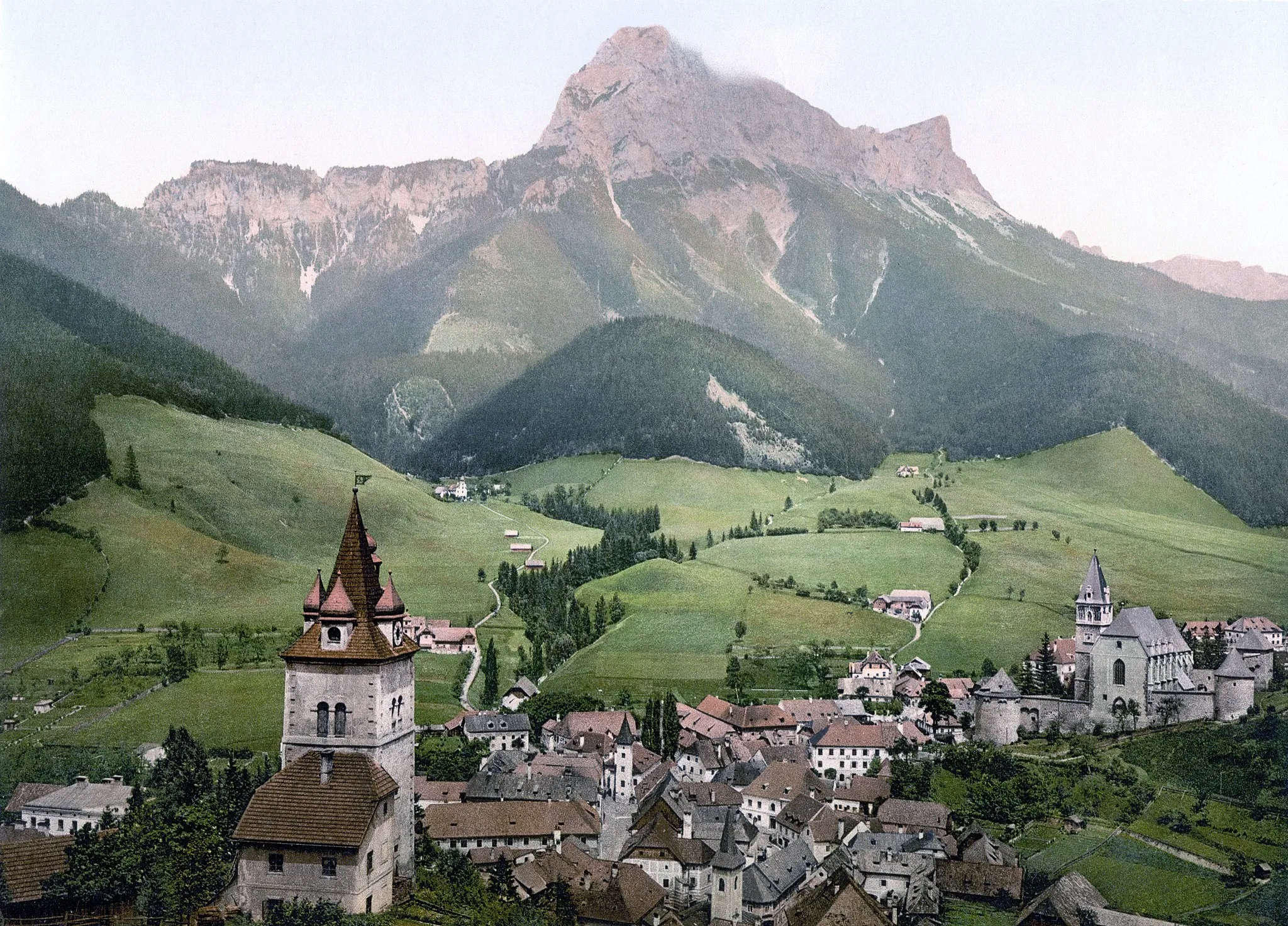
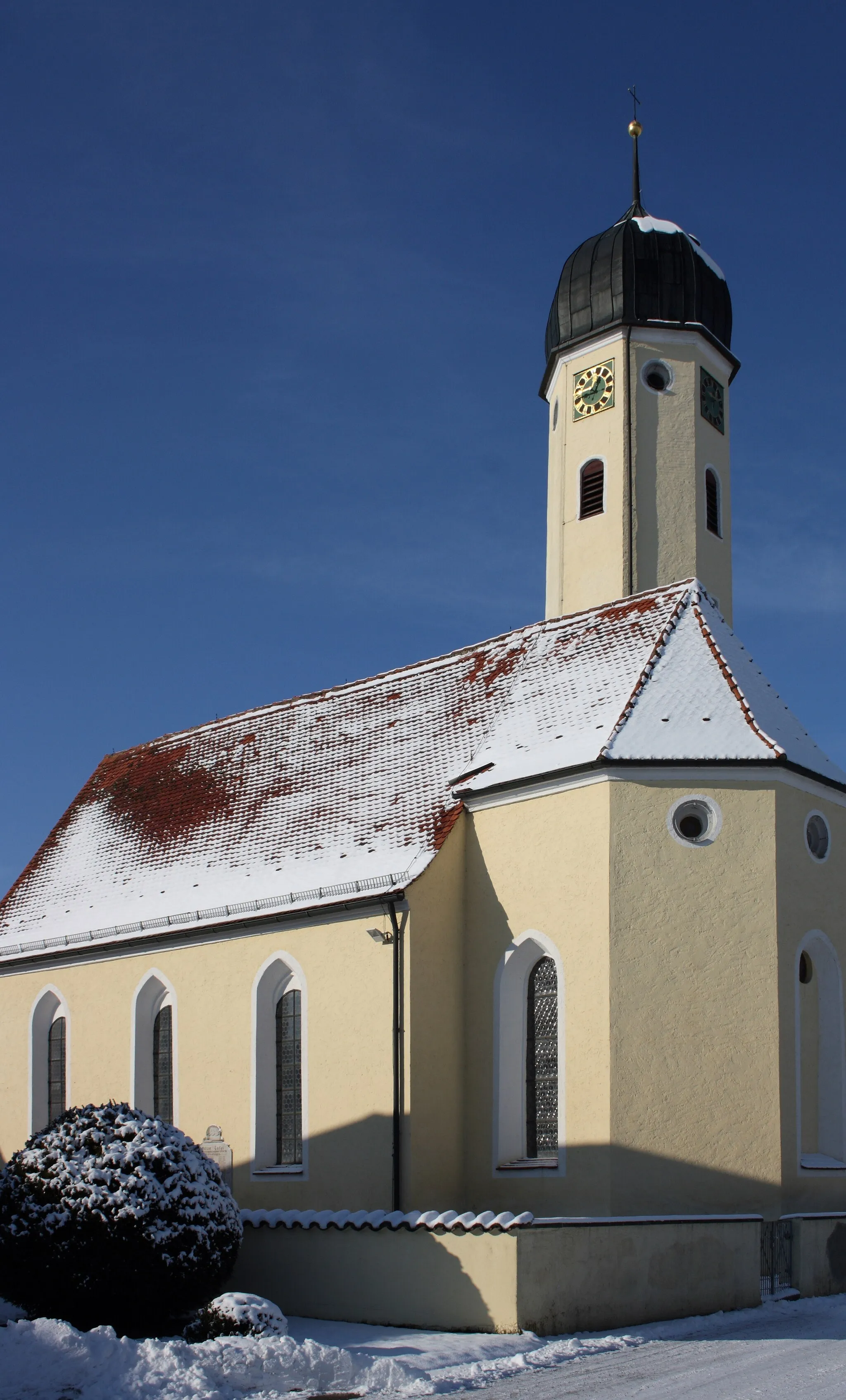
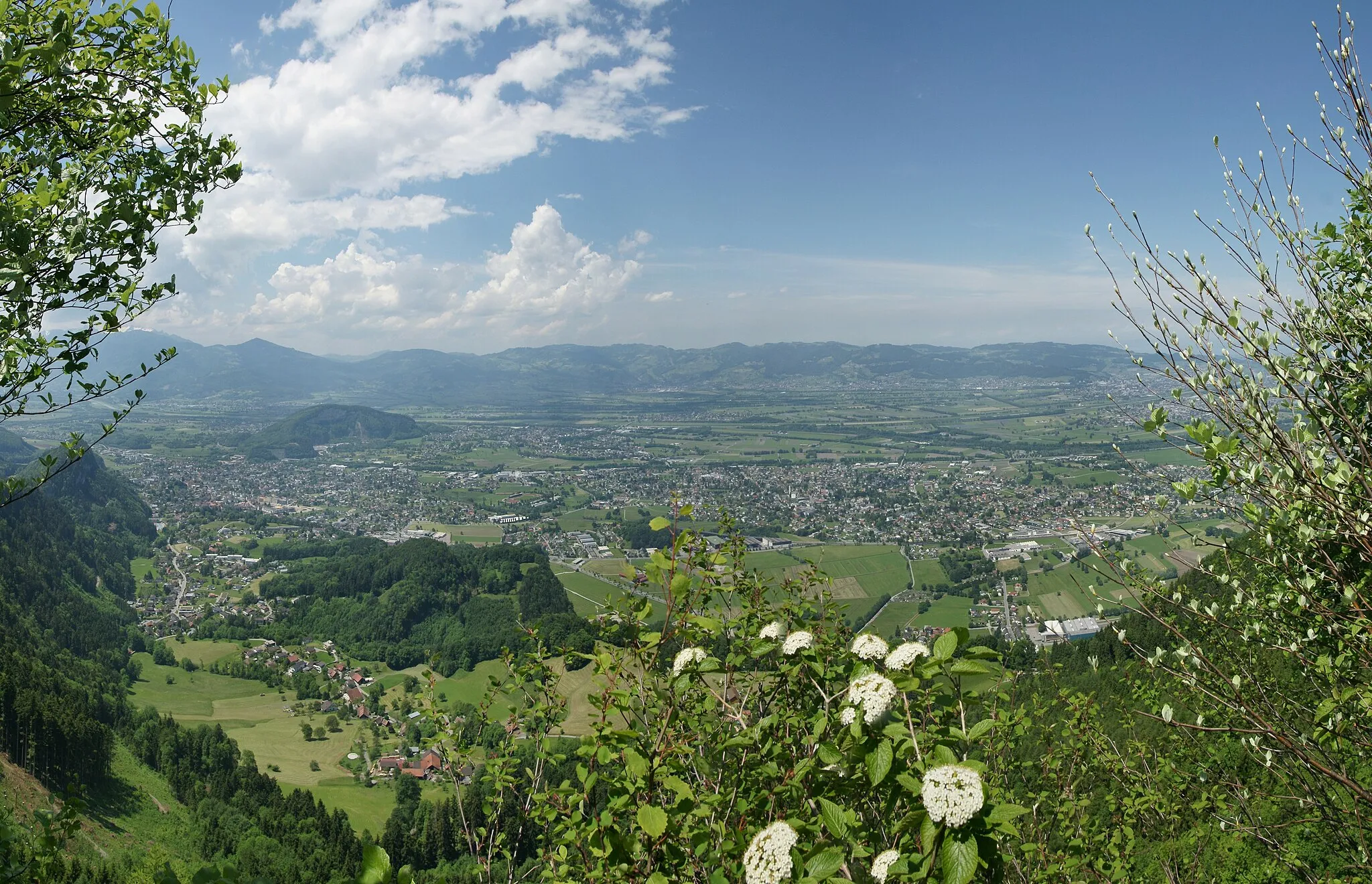
Speicher je malebné švýcarské městečko v regionu Ostschweiz. Pro cyklisty nabízí klidné silnice vhodné pro jízdu na silničním kole. V okolí města jsou také známé cyklistické trasy a krásná příroda. Speicher je skvělým výchozím bodem pro cykloturistiku v této oblasti.
![Miniaturní mapa "Gravel Route Speicher - Lake Constance Viewpoint" inspirace pro cyklisty v oblasti Ostschweiz, Switzerland. Vytvořeno pomocí plánovače tras Tarmacs.app](https://images.tarmacs.app/cycling-routes/routemaps/600/switzerland/ostschweiz/speicher/gravel/91380.webp)
Breathtaking gravel ride with stunning views
Explore the gravel roads from Speicher to Lake Constance Viewpoint, covering 55 km and 1274 m of ascent. Pass by highlights like Waldegg, Gaiserwald, and Biotop, enjoying the natural beauty of the area. The route offers a mix of challenging climbs and scenic vistas, making it a must-try for gravel enthusiasts.
![Miniaturní mapa "Cyklostezky kolem Waldegg - Lake Constance" inspirace pro cyklisty v oblasti Ostschweiz, Switzerland. Vytvořeno pomocí plánovače tras Tarmacs.app](https://images.tarmacs.app/cycling-routes/routemaps/600/switzerland/ostschweiz/speicher/road/91295.webp)
Krásná cesta s výhledem na Bodamské jezero
Tato 74km dlouhá trasa nabízí 1105m stoupání a vede skrz malebné vesnice a krásnou švýcarskou krajinu. Můžete si užít výhled na Bodamské jezero a navštívit různé turistické zajímavosti podél cesty.
![Miniaturní mapa "Kaienspitz - Altstätten Cyklostezky" inspirace pro cyklisty v oblasti Ostschweiz, Switzerland. Vytvořeno pomocí plánovače tras Tarmacs.app](https://images.tarmacs.app/cycling-routes/routemaps/600/switzerland/ostschweiz/speicher/road/91266.webp)
Podívejte se na skvostné výhledy na krajinu
Tato 66km dlouhá trasa poskytuje 985m stoupání a vede skrz různé malebné oblasti a zajímavé turistické atrakce. Můžete si užít nádherné výhledy na okolní krajinu a relaxovat ve venkovském prostředí.
![Miniaturní mapa "Gravel Route Trogen - Hohe Buche" inspirace pro cyklisty v oblasti Ostschweiz, Switzerland. Vytvořeno pomocí plánovače tras Tarmacs.app](https://images.tarmacs.app/cycling-routes/routemaps/600/switzerland/ostschweiz/speicher/gravel/135519.webp)
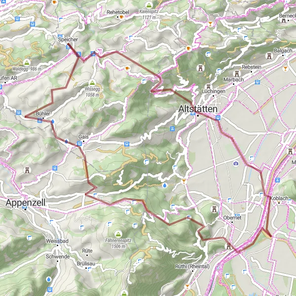
Exciting gravel adventure through varied terrain
Embark on a thrilling gravel ride from Trogen to Hohe Buche, covering 51 km with 1316 m of ascent. Highlights along the way include Ruppenpass, Blattenberg, and Feuerstelle Rämsen, offering a mix of natural beauty and cultural sights. The route provides a challenging yet rewarding experience for gravel cyclists, with diverse landscapes and scenic viewpoints throughout.
![Miniaturní mapa "Gravel Route from Speicher" inspirace pro cyklisty v oblasti Ostschweiz, Switzerland. Vytvořeno pomocí plánovače tras Tarmacs.app](https://images.tarmacs.app/cycling-routes/routemaps/600/switzerland/ostschweiz/speicher/gravel/91303.webp)
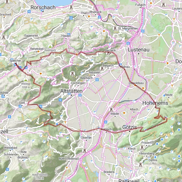
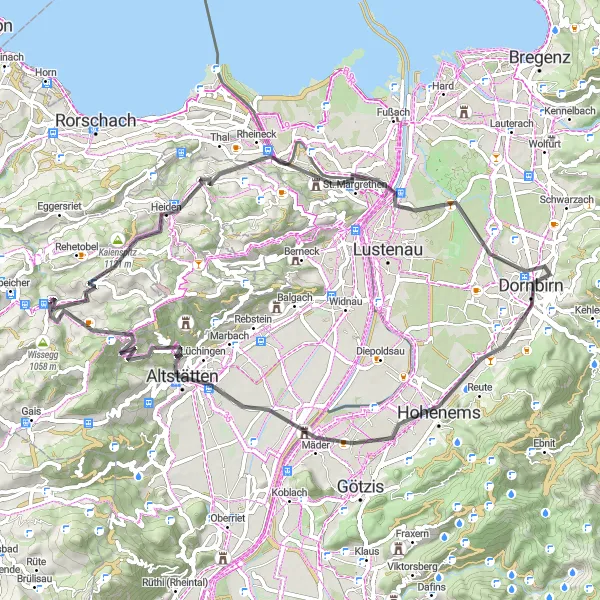
Explore the beauty of Ostschweiz on this challenging gravel route
Embark on a thrilling 72 km journey with 2372m of ascent through picturesque landscapes and charming villages. The route offers a mix of challenging climbs and exhilarating descents, providing a true test of your cycling skills. Enjoy the stunning views of Trogen, Kaienspitz, and Berneck along the way. Don't miss the opportunity to visit Kapf, Soele, Koblach, and Gäbris for a memorable cycling experience.
![Miniaturní mapa "Gravel cyklistická trasa Trogen - Gais" inspirace pro cyklisty v oblasti Ostschweiz, Switzerland. Vytvořeno pomocí plánovače tras Tarmacs.app](https://images.tarmacs.app/cycling-routes/routemaps/600/switzerland/ostschweiz/speicher/gravel/91249.webp)
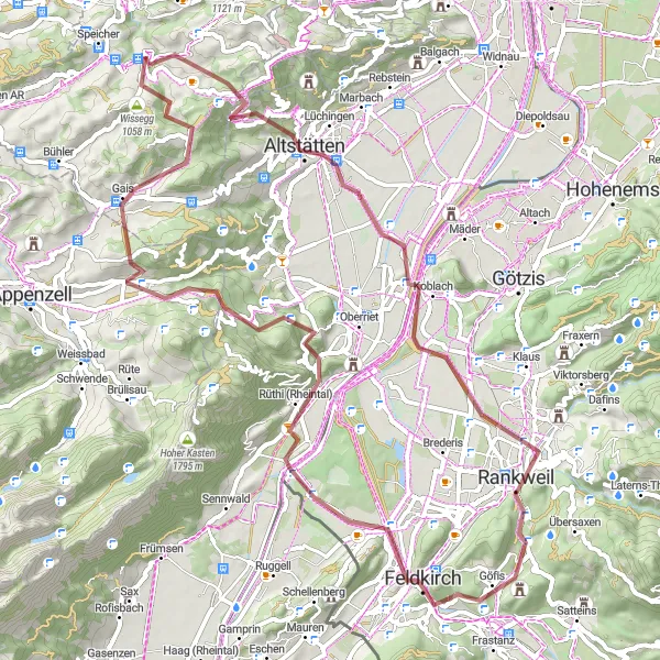
Adrenalinová cesta po nezpevněných cestách a malebných vesnicích
Tato 70km dlouhá trasa vede přes kopce a údolí s nádhernými výhledy. Cyklování po nezpevněných cestách a lesních stezkách vám poskytne adrenalinový zážitek a možnost objevit skryté klenoty regionu. Trasa je vhodná pro zkušené cyklisty, kteří hledají nové výzvy.
![Miniaturní mapa "Okružní cyklistická trasa Waldegg - St. Gallen" inspirace pro cyklisty v oblasti Ostschweiz, Switzerland. Vytvořeno pomocí plánovače tras Tarmacs.app](https://images.tarmacs.app/cycling-routes/routemaps/600/switzerland/ostschweiz/speicher/road/91226.webp)
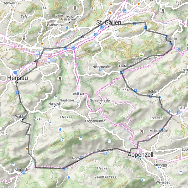
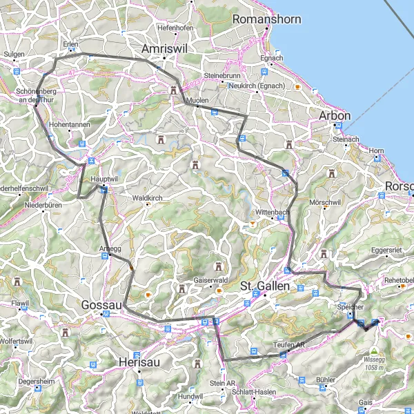
Zajímavá cesta s pestrými výhledy a historickými městy
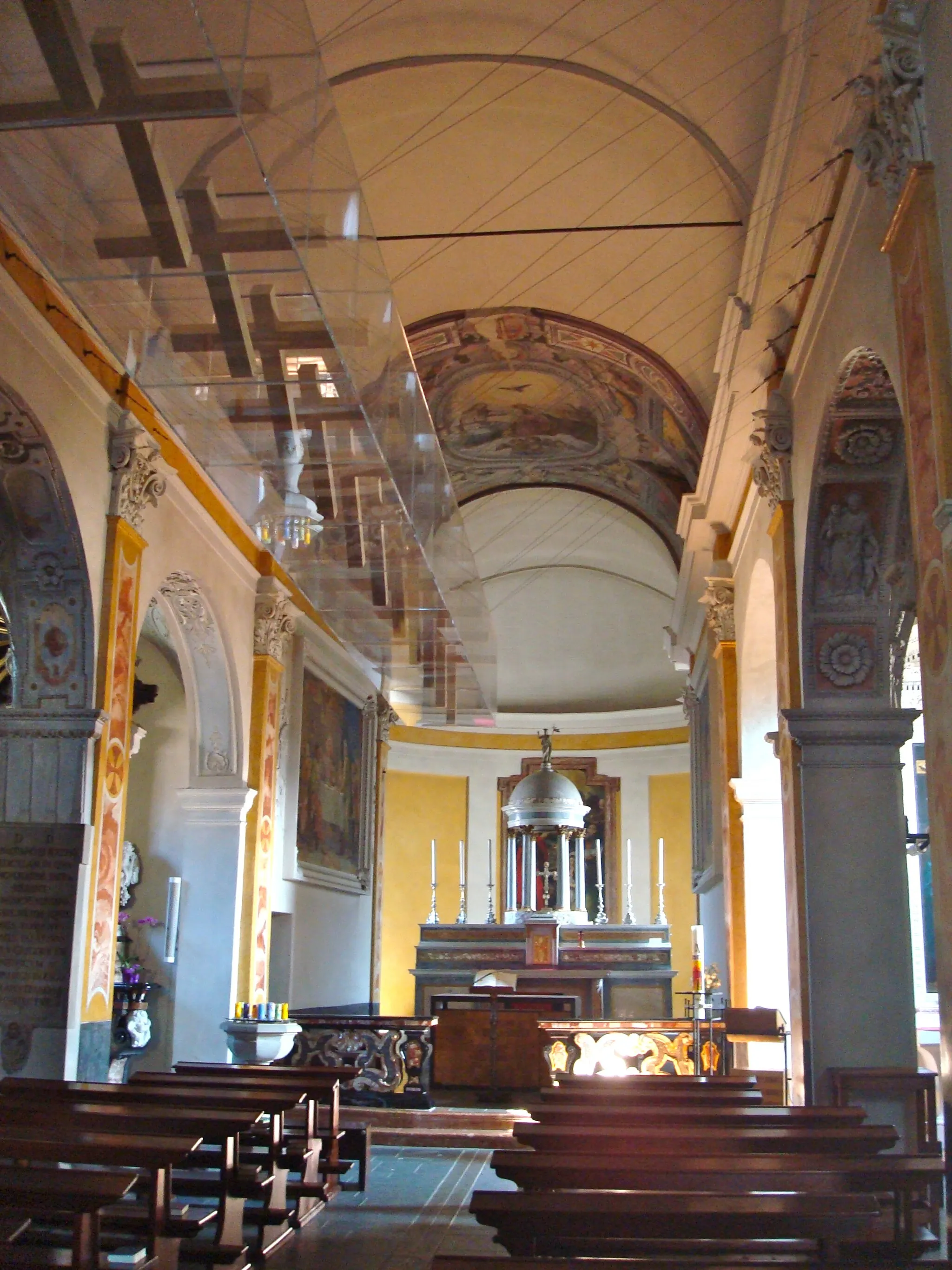
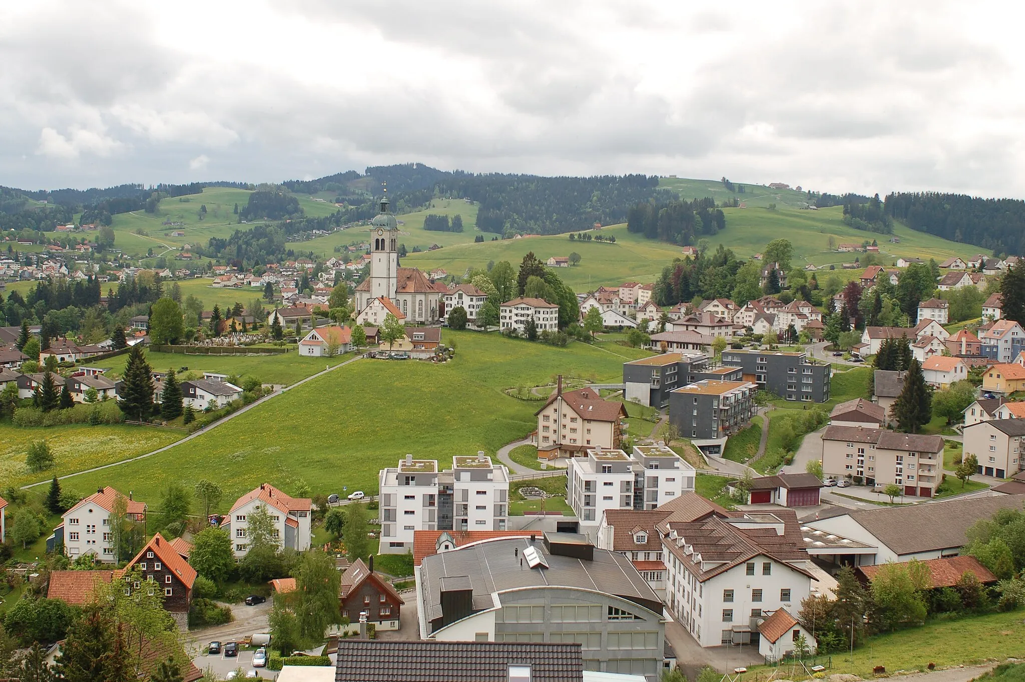
Tato 52km dlouhá trasa nabízí krásné výhledy na Bodamské jezero a okolní kopce. Projedete přes malebné obce Appenzell a Herisau a můžete si užít klidnou atmosféru švýcarského venkova. Výlet se zakončí ve městě St. Gallen, kde můžete navštívit historickou katedrálu a knihovnu.
![Miniaturní mapa "Trója - Wildhaus - Appenzell Cyklostezky" inspirace pro cyklisty v oblasti Ostschweiz, Switzerland. Vytvořeno pomocí plánovače tras Tarmacs.app](https://images.tarmacs.app/cycling-routes/routemaps/600/switzerland/ostschweiz/speicher/road/91218.webp)
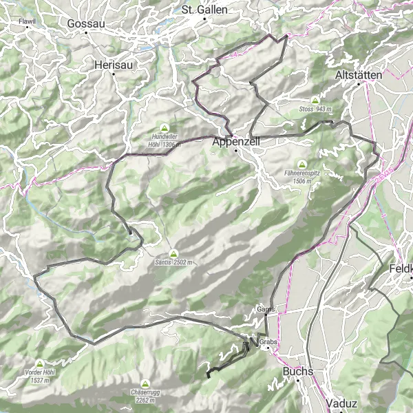
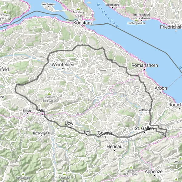
Poznejte malebné venkovské obce a malebná švýcarská města
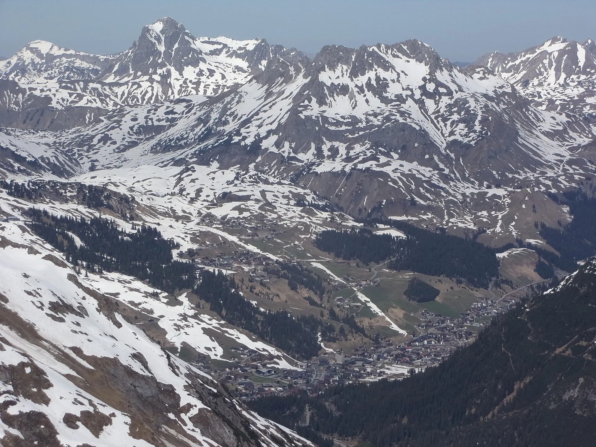
Tato 131km dlouhá cesta nabízí stoupání 2836m a zahrnuje nádherné výhledy na vrcholky hor a malebné vesnice. Cesta vede skrz krásnou krajinu a můžete si vychutnat velký výběr různých krajinných scén.
![Miniaturní mapa "Cyklotrasa Lake Constance Viewpoint - Speicher" inspirace pro cyklisty v oblasti Ostschweiz, Switzerland. Vytvořeno pomocí plánovače tras Tarmacs.app](https://images.tarmacs.app/cycling-routes/routemaps/600/switzerland/ostschweiz/speicher/road/91273.webp)
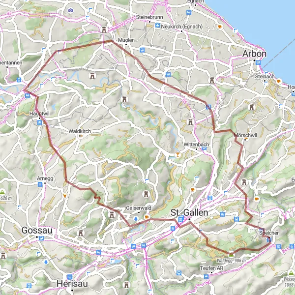
Panoramatická cesta plná zajímavých míst a nádherných výhledů
Tato 111km dlouhá trasa vede kolem Bodamského jezera a skrz malebná města a vesnice. Můžete se těšit na pohledy na vrcholky Alp a historické památky. Cesta nabízí skvělý mix terénů a zážitků pro cyklisty všech úrovní.
![Miniaturní mapa "Cesta s výhledy na Lake Constance Viewpoint" inspirace pro cyklisty v oblasti Ostschweiz, Switzerland. Vytvořeno pomocí plánovače tras Tarmacs.app](https://images.tarmacs.app/cycling-routes/routemaps/600/switzerland/ostschweiz/speicher/road/91277.webp)
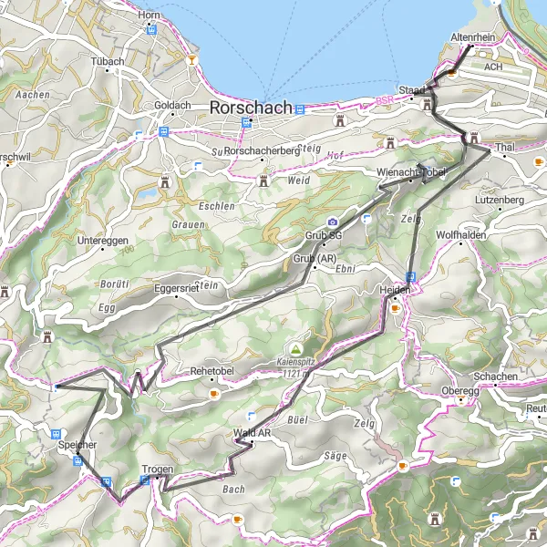
Panoramatická trasa s historickými památkami a malebnými vesnicemi
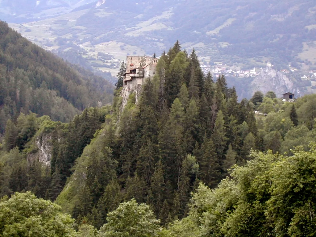
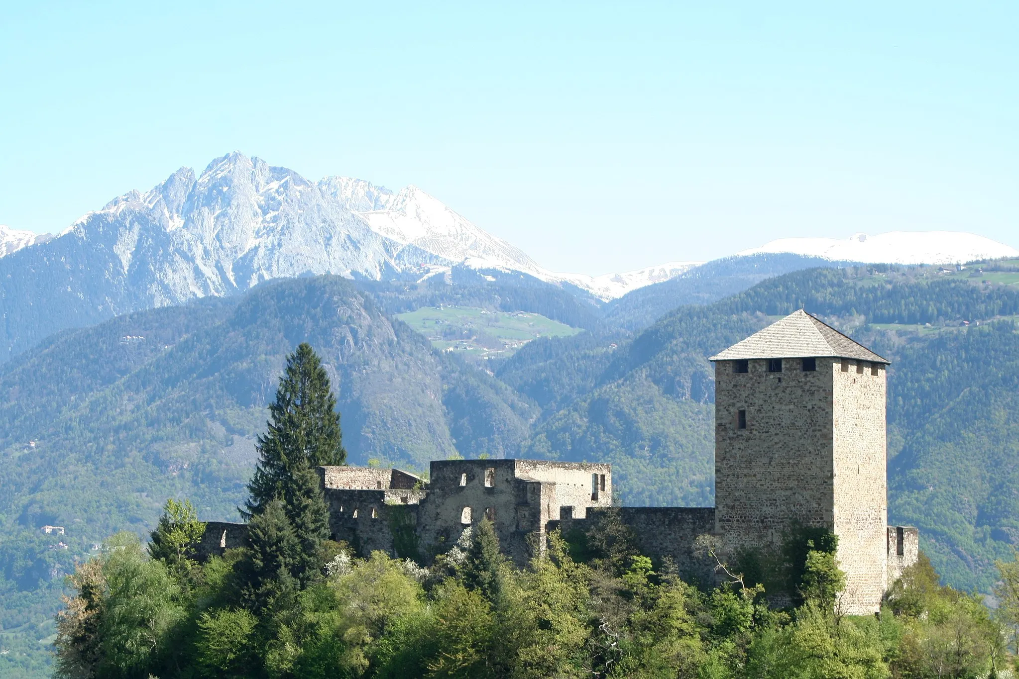
Tato 41km dlouhá trasa vede kolem Bodamského jezera a nabízí skvělé výhledy na okolní krajinu. Projedete malebnými vesnicemi a historickými památkami, jako je zřícenina hradu Rappenstein. Ideální trasa pro odpolední cyklistický výlet.
Cyklotrasy v okolí:
![Obrázek Gaißau](https://images.tarmacs.app/cycling-routes/covers/austria/vorarlberg/gaissau-5.webp)
![Obrázek Koblach](https://images.tarmacs.app/cycling-routes/covers/austria/vorarlberg/koblach-5.webp)
![Obrázek Mäder](https://images.tarmacs.app/cycling-routes/covers/austria/vorarlberg/maeder-3.webp)
![Obrázek Höchst](https://images.tarmacs.app/cycling-routes/covers/austria/vorarlberg/hoechst-4.webp)
![Obrázek Meiningen](https://images.tarmacs.app/cycling-routes/covers/austria/vorarlberg/meiningen-5.webp)
![Obrázek Lustenau](https://images.tarmacs.app/cycling-routes/covers/austria/vorarlberg/lustenau-4.webp)
![Obrázek Götzis](https://images.tarmacs.app/cycling-routes/covers/austria/vorarlberg/goetzis-4.webp)
![Obrázek Altach](https://images.tarmacs.app/cycling-routes/covers/austria/vorarlberg/altach-5.webp)
![Obrázek Fußach](https://images.tarmacs.app/cycling-routes/covers/austria/vorarlberg/fussach-5.webp)
Okolní oblasti:
![Obrázek Kärnten](https://images.tarmacs.app/cycling-routes/covers/austria/karnten/viktring-2.webp)
![Obrázek Steiermark](https://images.tarmacs.app/cycling-routes/covers/austria/steiermark/eisenerz-5.webp)
![Obrázek Oberösterreich](https://images.tarmacs.app/cycling-routes/covers/austria/oberosterreich/aigen-im-muehlkreis-1.webp)
![Obrázek Salzburg](https://images.tarmacs.app/cycling-routes/covers/austria/salzburg/anthering-2.webp)
![Obrázek Tirol](https://images.tarmacs.app/cycling-routes/covers/austria/tirol/landeck-4.webp)
![Obrázek Vorarlberg](https://images.tarmacs.app/cycling-routes/covers/austria/vorarlberg/lech-5.webp)
![Obrázek Zürich](https://images.tarmacs.app/cycling-routes/covers/switzerland/zurich/winterthur-5.webp)
![Obrázek Ticino](https://images.tarmacs.app/cycling-routes/covers/switzerland/ticino/melide-4.webp)
![Obrázek Tübingen](https://images.tarmacs.app/cycling-routes/covers/germany/tubingen/bermatingen-2.webp)
![Obrázek Schwaben](https://images.tarmacs.app/cycling-routes/covers/germany/schwaben/bachhagel-3.webp)
![Obrázek Lombardia](https://images.tarmacs.app/cycling-routes/covers/italy/lombardia/pregnana-milanese-5.webp)
![Obrázek Provincia Autonoma di Bolzano/Bozen](https://images.tarmacs.app/cycling-routes/covers/italy/provincia-autonoma-di-bolzano-bozen/lana-2.webp)
![Obrázek Liechtenstein](https://images.tarmacs.app/cycling-routes/covers/liechtenstein/liechtenstein/eschen-4.webp)