![Cover image](https://images.tarmacs.app/cycling-routes/covers/switzerland/region-lemanique/meyrin-3.webp)
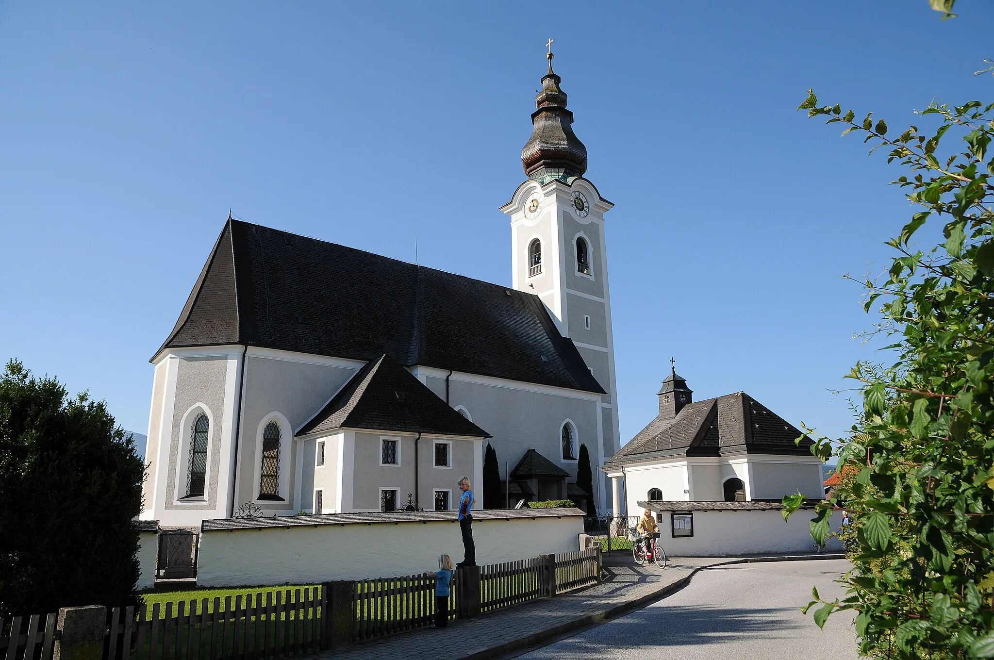
Klidná oblast s trasami kolem lesů.
Cyklistické trasy kolem Meyrin
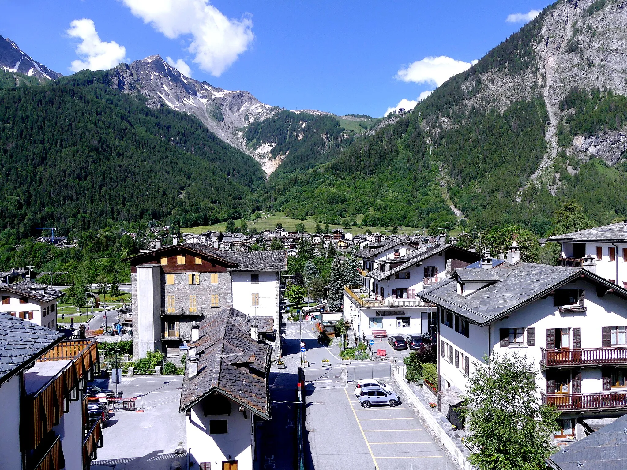
Meyrin je klidná oblast ve Švýcarsku s cyklistickými trasami vedoucími kolem lesů a jezer. Cyklisté zde najdou ideální podmínky pro odpočinkové jízdy.
![Miniaturní mapa "Epic Road Adventure to Saint-Claude" inspirace pro cyklisty v oblasti Région lémanique, Switzerland. Vytvořeno pomocí plánovače tras Tarmacs.app](https://images.tarmacs.app/cycling-routes/routemaps/600/switzerland/region-lemanique/meyrin/road/130610.webp)
Embark on a challenging 158km road adventure with stunning viewpoints
This challenging 158km route takes you through various highlights such as Portes Sarrazines and Col de la Faucille. Enjoy breathtaking views at Belvédère de la Cernaise and Abbaye de Saint-Claude, and experience the beauty of Chaux-des-Prés.
![Miniaturní mapa "Z Rhôny do Gex: Péron až Meyrin" inspirace pro cyklisty v oblasti Région lémanique, Switzerland. Vytvořeno pomocí plánovače tras Tarmacs.app](https://images.tarmacs.app/cycling-routes/routemaps/600/switzerland/region-lemanique/meyrin/road/64313.webp)
Kopců, lesů a malebných vesnic
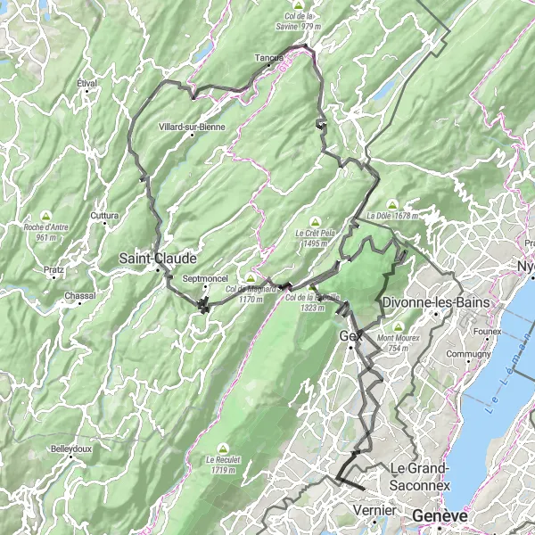
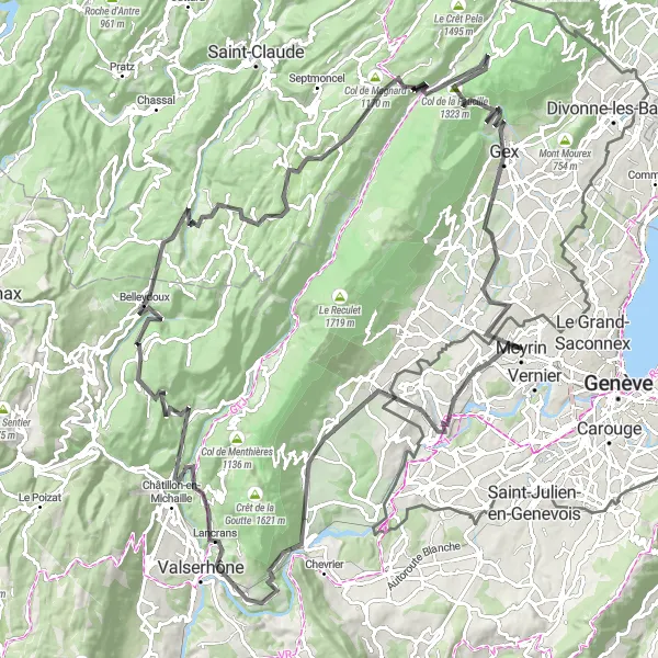
Tato trasa nabízí pestrou paletu prostředí od horských scenérií až po malé vesnické obrázky. S převýšením 2602 metrů a délkou 131 kilometrů je ideální pro středně pokročilé cyklisty. Zastavit se určitě vyplatí na Péronu, Champfromieru nebo Bellecombe.
![Miniaturní mapa "Cestní trasa okolo Meyrin" inspirace pro cyklisty v oblasti Région lémanique, Switzerland. Vytvořeno pomocí plánovače tras Tarmacs.app](https://images.tarmacs.app/cycling-routes/routemaps/600/switzerland/region-lemanique/meyrin/road/64321.webp)
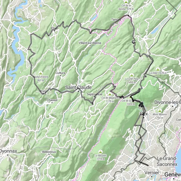
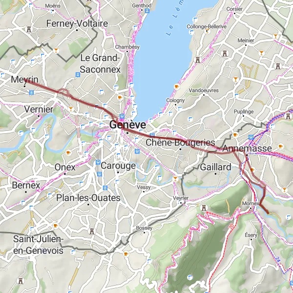
Náročná cesta s krásnými výhledy kolem Meyrinu
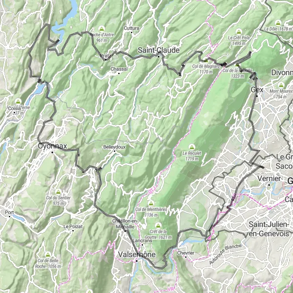
Tato 185km trasa nabízí 3871m stoupání a prochází Avully, Perte de la Valserine, Oyonnax, Col de la Faucille a Gex. Z vrcholu Col de Magnard máte úchvatný pohled na Mont Blanc a okolí.
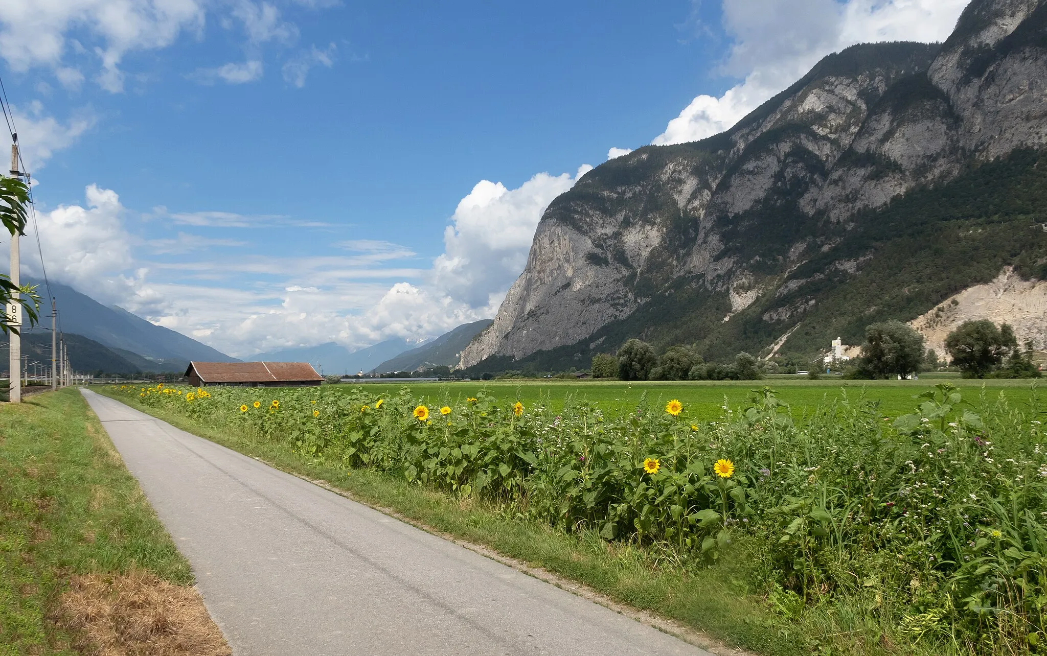
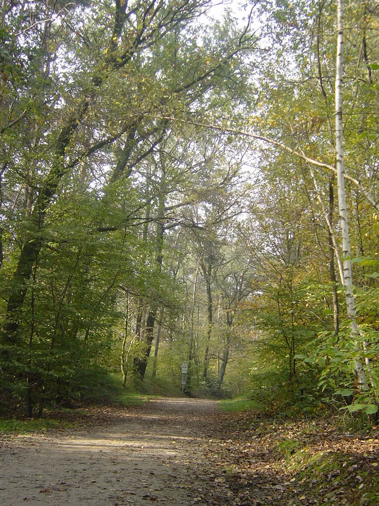
Kolem lesů a jezer
![Miniaturní mapa "Kolem lesů a jezer" inspirace pro cyklisty v oblasti Région lémanique, Switzerland. Vytvořeno pomocí plánovače tras Tarmacs.app](https://images.tarmacs.app/cycling-routes/routemaps/600/switzerland/region-lemanique/meyrin/road/64326.webp)
Malebná trasa plná přírodních krás
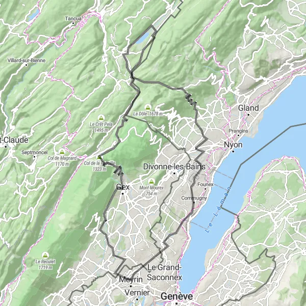
Tato 106 km dlouhá cesta vás provede lesy a okolo jezer, přes města Échenevex a Les Rousses až do Ferney-Voltaire. Užijte si krásný výhled z Roche de Lavenna a odpočiňte si u jezera Saint-Cergue.
![Miniaturní mapa "Geneva to Vernier Gravel Adventure" inspirace pro cyklisty v oblasti Région lémanique, Switzerland. Vytvořeno pomocí plánovače tras Tarmacs.app](https://images.tarmacs.app/cycling-routes/routemaps/600/switzerland/region-lemanique/meyrin/gravel/64472.webp)
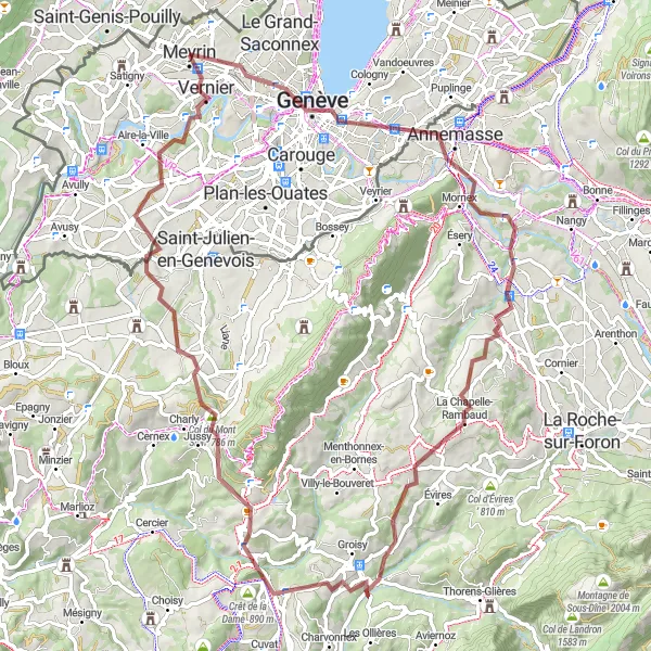
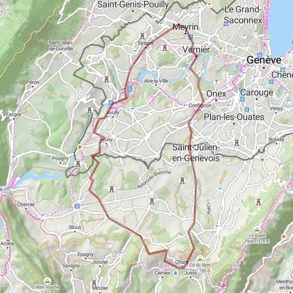
Embark on an exciting gravel adventure from Geneva to Vernier with breathtaking views
This 86km route takes you through various highlights such as Étrembières and Col du Mont Sion. Enjoy panoramic views of the region at Panorama and experience the beauty of Allonzier-la-Caille.
![Miniaturní mapa "Trasa kolem jezera Léman: Échenevex až Saint-Genis-Pouilly" inspirace pro cyklisty v oblasti Région lémanique, Switzerland. Vytvořeno pomocí plánovače tras Tarmacs.app](https://images.tarmacs.app/cycling-routes/routemaps/600/switzerland/region-lemanique/meyrin/road/64346.webp)
Zajímavá cesta s výhledy na horské vrcholky
Tato cyklistická trasa nabízí nádherné pohledy na jezero Léman a mnoho malebných vesnic po cestě. S převýšením 3575 metrů a délkou 183 kilometrů je vhodná pro zkušené cyklisty. Zastavit se určitě vyplatí v Échenevex, Mijoux nebo Villards-d'Héria.
![Miniaturní mapa "Gravelová trasa okolo Meyrin" inspirace pro cyklisty v oblasti Région lémanique, Switzerland. Vytvořeno pomocí plánovače tras Tarmacs.app](https://images.tarmacs.app/cycling-routes/routemaps/600/switzerland/region-lemanique/meyrin/gravel/64324.webp)
Příjemná gravelová jízda plná překvapení
Tato 51km trasa nabízí 853m stoupání a prochází Vernierem, Le Signalem a Avusy. Na závěr se můžete těšit na krásný výhled z Observatory "Castor" na Mont Blanc.
![Miniaturní mapa "Gravelová dobrodružná cesta" inspirace pro cyklisty v oblasti Région lémanique, Switzerland. Vytvořeno pomocí plánovače tras Tarmacs.app](https://images.tarmacs.app/cycling-routes/routemaps/600/switzerland/region-lemanique/meyrin/gravel/64314.webp)
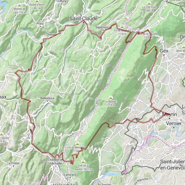
Náročné stoupání a malebná krajina v Jura horách
Tato 139 km dlouhá gravelová cesta vás provede náročným terénem a skrz malebné vesnice, jako je Saint-Jean-de-Gonville a Viry. Obdivujte krásu přírody na útesech Le Saut du Chien a užijte si nádherný výhled z Col de la Faucille.
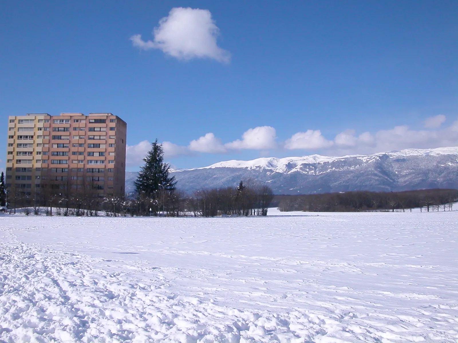
Trasa kolem Ženevy
![Miniaturní mapa "Trasa kolem Ženevy" inspirace pro cyklisty v oblasti Région lémanique, Switzerland. Vytvořeno pomocí plánovače tras Tarmacs.app](https://images.tarmacs.app/cycling-routes/routemaps/600/switzerland/region-lemanique/meyrin/road/64323.webp)
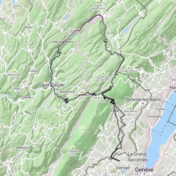
Významné stoupání a krásný výhled na Région lémanique
Tato 145 km dlouhá cesta nabízí úžasný výhled z Belvédère de la Cernaise až po Belvédère de l'Ermitage. Projdete skrz malebné vesnice, jako je Mijoux a Prémanon, a zakončíte ve městě Meyrin.
![Miniaturní mapa "Gravel Trail to Annemasse" inspirace pro cyklisty v oblasti Région lémanique, Switzerland. Vytvořeno pomocí plánovače tras Tarmacs.app](https://images.tarmacs.app/cycling-routes/routemaps/600/switzerland/region-lemanique/meyrin/gravel/64368.webp)
Enjoy a scenic gravel trail with a relaxing stop at Belvédère de l'Observatoire
This 37km route offers a pleasant ride through nature with a highlight being the charming town of Annemasse. Take a break at Belvédère de l'Observatoire to admire stunning views of the surroundings.
Cyklotrasy v okolí:
Okolní oblasti:
![Obrázek Salzburg](https://images.tarmacs.app/cycling-routes/covers/austria/salzburg/wals-5.webp)
![Obrázek Tirol](https://images.tarmacs.app/cycling-routes/covers/austria/tirol/voels-3.webp)
![Obrázek Vorarlberg](https://images.tarmacs.app/cycling-routes/covers/austria/vorarlberg/weiler-2.webp)
![Obrázek Espace Mittelland](https://images.tarmacs.app/cycling-routes/covers/switzerland/espace-mittelland/orpund-3.webp)
![Obrázek Ostschweiz](https://images.tarmacs.app/cycling-routes/covers/switzerland/ostschweiz/mogelsberg-5.webp)
![Obrázek Zentralschweiz](https://images.tarmacs.app/cycling-routes/covers/switzerland/zentralschweiz/pfaffnau-5.webp)
![Obrázek Ticino](https://images.tarmacs.app/cycling-routes/covers/switzerland/ticino/stabio-4.webp)
![Obrázek Franche-Comté](https://images.tarmacs.app/cycling-routes/covers/france/franche-comte/ecole-valentin-3.webp)
![Obrázek Rhône-Alpes](https://images.tarmacs.app/cycling-routes/covers/france/rhone-alpes/saint-andre-le-gaz-1.webp)
![Obrázek Piemonte](https://images.tarmacs.app/cycling-routes/covers/italy/piemonte/foglizzo-3.webp)
![Obrázek Valle d’Aosta/Vallée d’Aoste](https://images.tarmacs.app/cycling-routes/covers/italy/valle-daosta-vallee-daoste/courmayeur-4.webp)
![Obrázek Lombardia](https://images.tarmacs.app/cycling-routes/covers/italy/lombardia/misinto-3.webp)