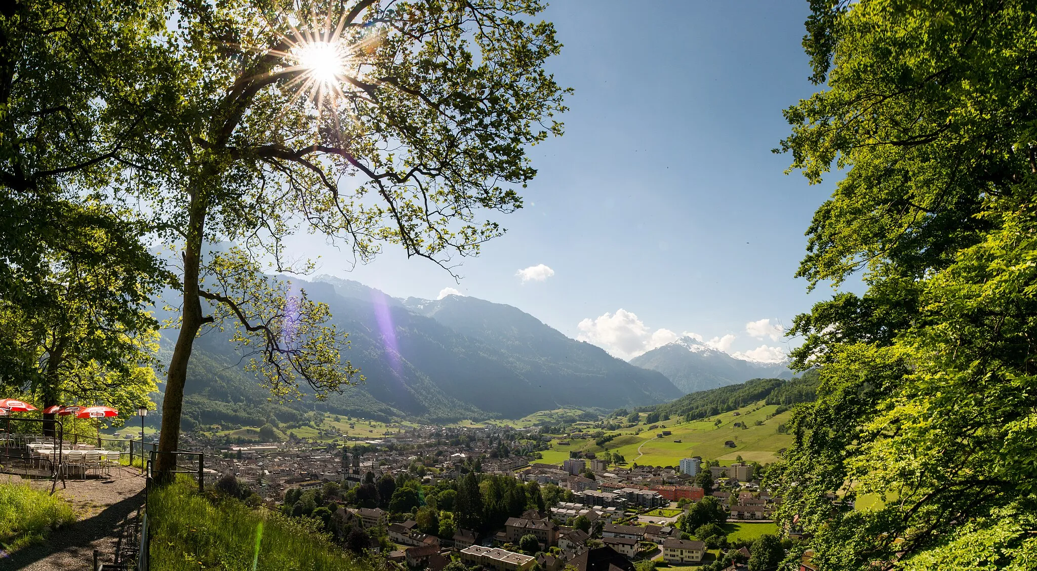
Malebná lokalita v Région lémanique pro cyklisty
Cyklistické trasy kolem Saint-Cergue
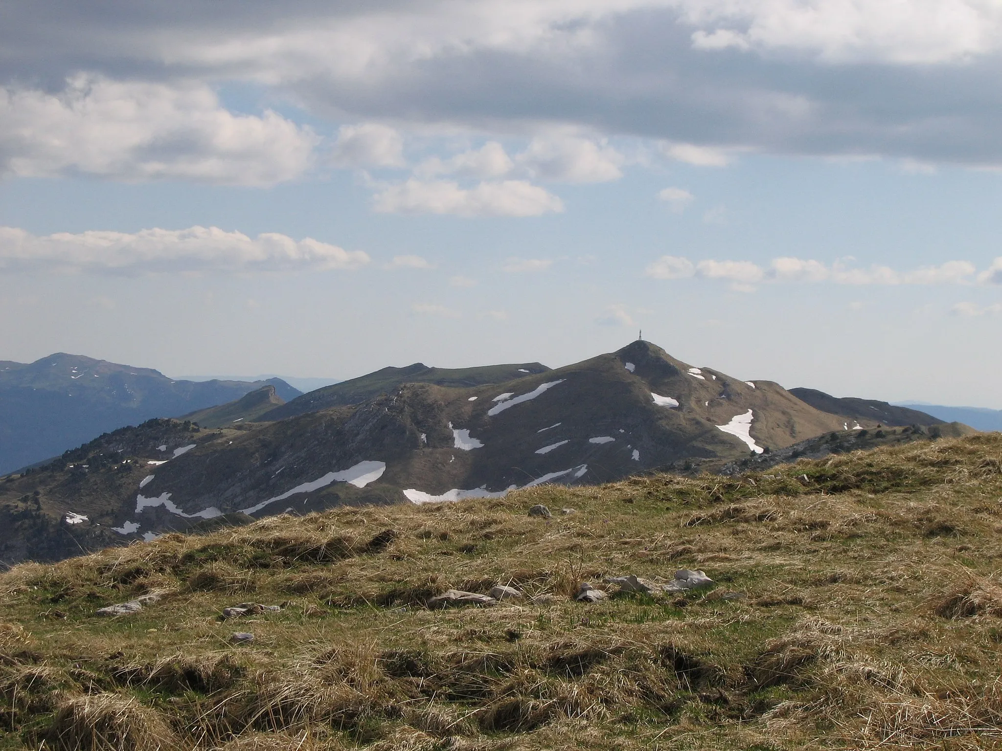
Saint-Cergue je malebná lokalita v oblasti Région lémanique ve Švýcarsku. Pro cyklisty nabízí krásné cyklostezky vedoucí kolem hor a lesů. Nedaleko se nachází známý cyklistický kopec Mollendruz, který je oblíbeným cílem pro horské cyklisty.
Les Rousses Road Route
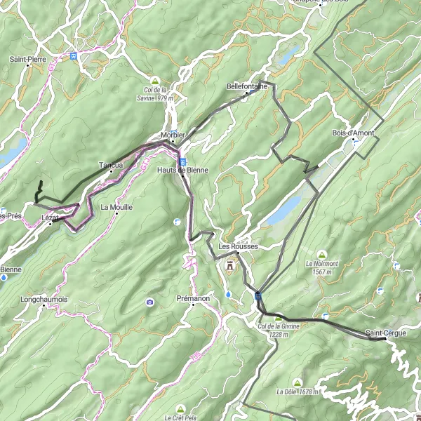
Panoramic road cycling route with challenging ascent and scenic highlights.
Explore the Les Rousses area on this 77km road route with 1660m ascent. Pass by various viewpoints and natural attractions, including Roche fendue and Belvédère de la Bienne. Enjoy the picturesque landscapes while conquering the Hauts de Bienne and Morbier climbs.
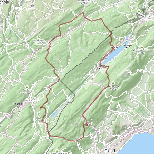
Gravel Tour de Lémanique

Zažijte dobrodružnou cyklistickou cestu okolo jezera Leman na štěrkových cestách.
Tato cesta nabízí úžasný výhled na jezero Leman a přilehlé kopce. Projedete kolem malebného jezera Joux a historické obce L'Abbaye. Následně se dostanete do údolí Vallorbe, kde můžete obdivovat skály a vodopády. Cyklovat také kolem malebné vesnice Juriens a Cuarnens až do vinic v Aubonne. Krásná cesta končí u vyhlídky na vrcholu kopce.
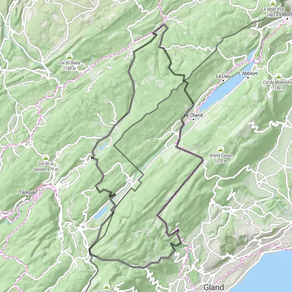
Challenging gravel route with mountainous terrain and stunning viewpoints.
Embark on a 107km gravel adventure with 2098m ascent in the Col de la Givrine area. Pass by rugged landscapes and reach highlights such as Point de vue de la roche and Lac de Joux. Experience the thrill of reaching the Col du Marchairuz summit and enjoy the final descent back to Saint-Cergue.
Embark on a road cycling journey through picturesque landscapes and charming villages to reach the village of Chaux-Neuve.
Ride through rolling hills and pastures, ascend to Col du Marchairuz, and pass by the historic Chapel-des-Bois. The tour offers a mix of challenging climbs and scenic descents, providing a rewarding experience for road cycling enthusiasts.
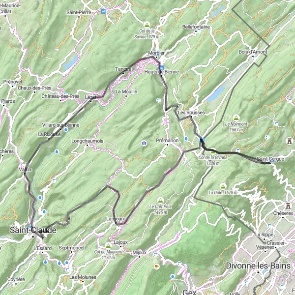
Morbier Road Challenge

Demanding road route with steep climbs and alpine landscapes.
Take on the challenge of the Morbier Road Challenge, a 128km route with 2475m ascent. Enjoy the breathtaking views from the various viewpoints along the way. Experience the thrill of reaching the summits of Les Rousses, Morbier, and Col de la Savine. Pass through picturesque villages like Pillemoine and Chapelle-des-Bois on this unforgettable cycling journey.
Objevte malebné silniční cyklistické trasy vedoucí k Lac de Joux.
Tato silniční cesta vás zavede kolem úchvatného Lac de Joux až k horským vodopádům Crêt Pourri. Projedete kolem Horse Tail Falls a skrz malebné La Rixouse. Zastavte se na vyhlídce Belvédère de la Bienne a pokračujte k Roche fendue s úžasným výhledem na okolní krajinu.

Discover the stunning views and challenging terrain of the Jura mountains on this gravel adventure.
Explore the rugged beauty of the area with its panoramic viewpoints, charming villages, and lush forests. The route includes a climb to Col de la Faucille and passes through the picturesque village of Mijoux before returning to Saint-Cergue.
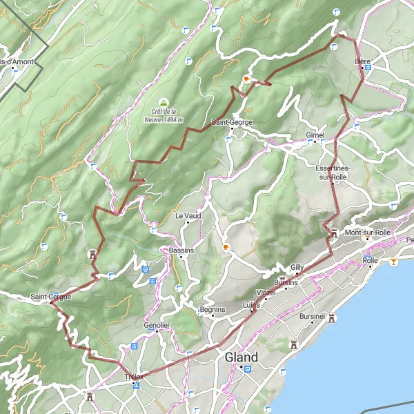
Embark on a gravel adventure through the scenic countryside to the charming village of Essertines-sur-Rolle.
Enjoy a mix of challenging off-road terrain and picturesque landscapes as you pedal through forests and pastures. The route includes a stop in the village of Saint-George before reaching Essertines-sur-Rolle, where you can explore its historical charm and natural beauty.
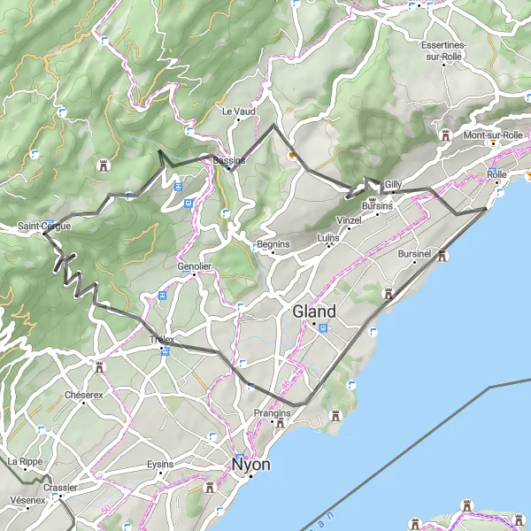
Picturesque road route with gentle climbs and breathtaking views.
Embark on a 44km road ride with 874m ascent to explore the Rolle area. Enjoy scenic views from Bassins and Givrins, and pass through charming villages like Prangins and Givrins. Take in the beauty of the rolling landscapes and return to Saint-Cergue after a fulfilling cycling journey.

Vydejte se na náročnou silniční cyklistickou trasu od Saint-Cergue a zpět.
Tato náročná cyklistická trasa vás zavede přes strmé stoupání Col de la Givrine až k malebnému městečku Les Rousses. Projedete skrz Bois-d'Amont až k vrcholu Crêt de la Neuve s úchvatným výhledem na okolní krajinu. Cestou zpět si můžete užít malebné výhledy a relaxaci v Saint-Cergue.
Cyklotrasy v okolí:
Okolní oblasti: