![Cover image](https://images.tarmacs.app/cycling-routes/covers/switzerland/zentralschweiz/gersau-5.webp)
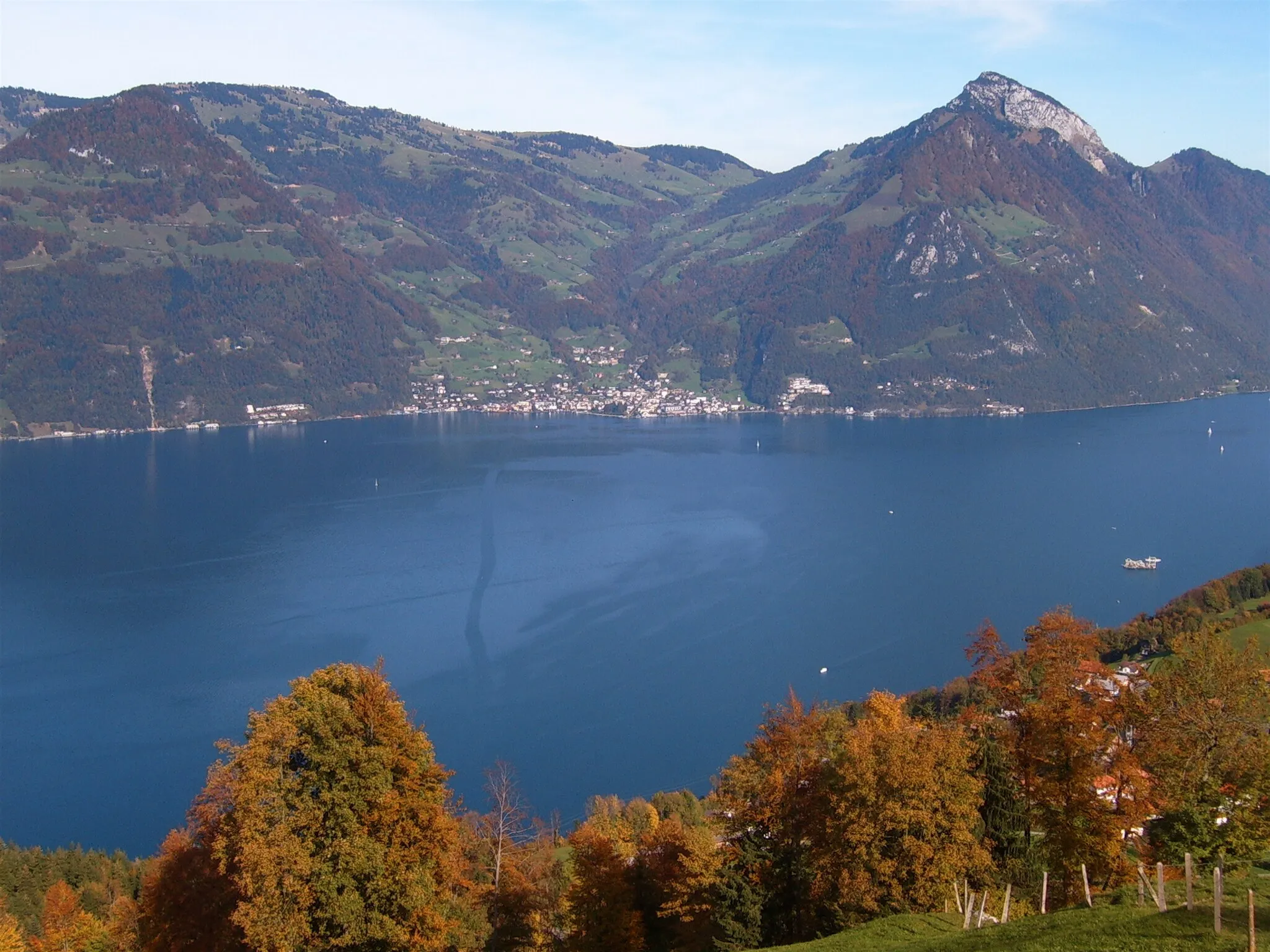
Úchvatné výhledy a skvělé cyklistické trasy
Cyklistické trasy kolem Gersau
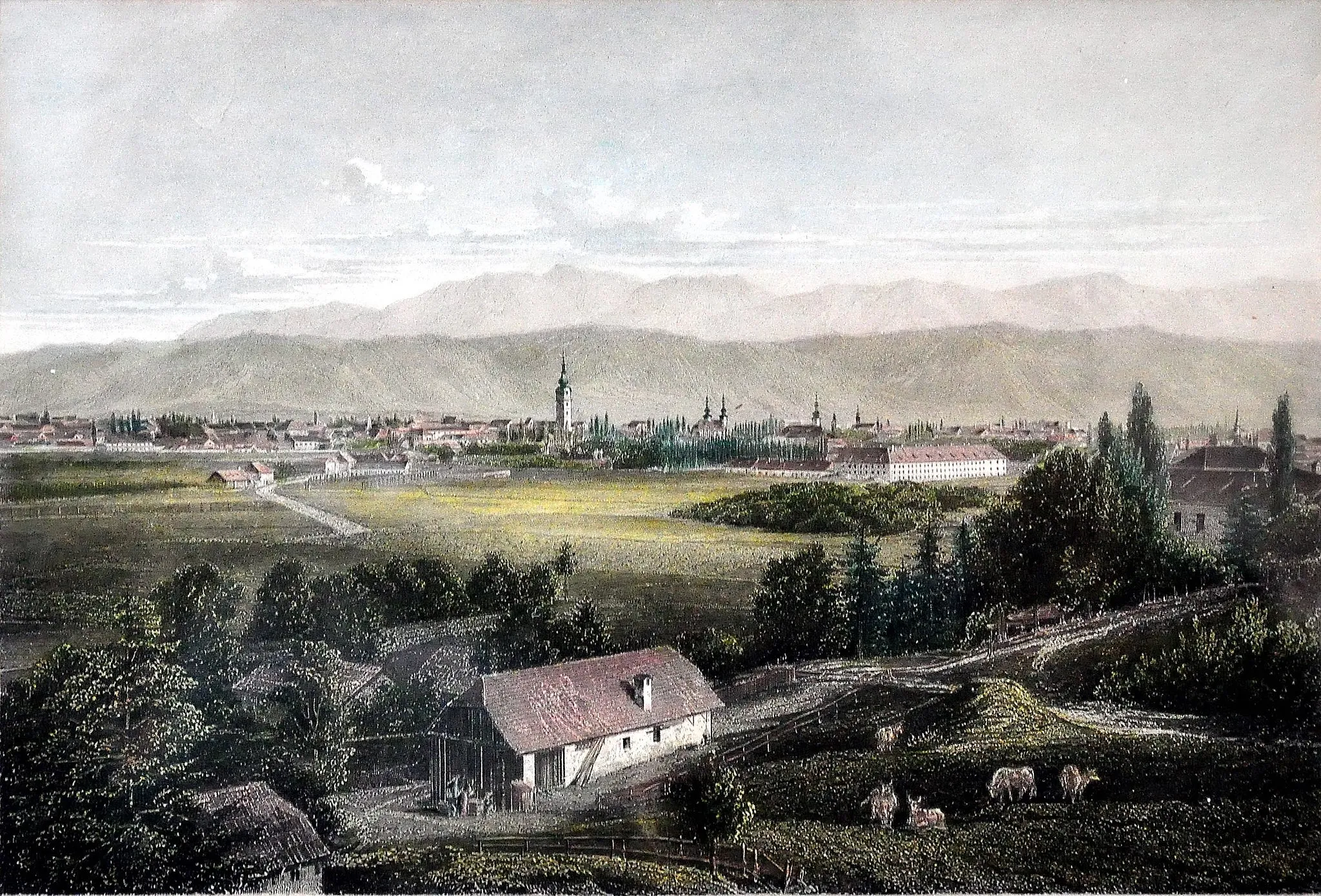
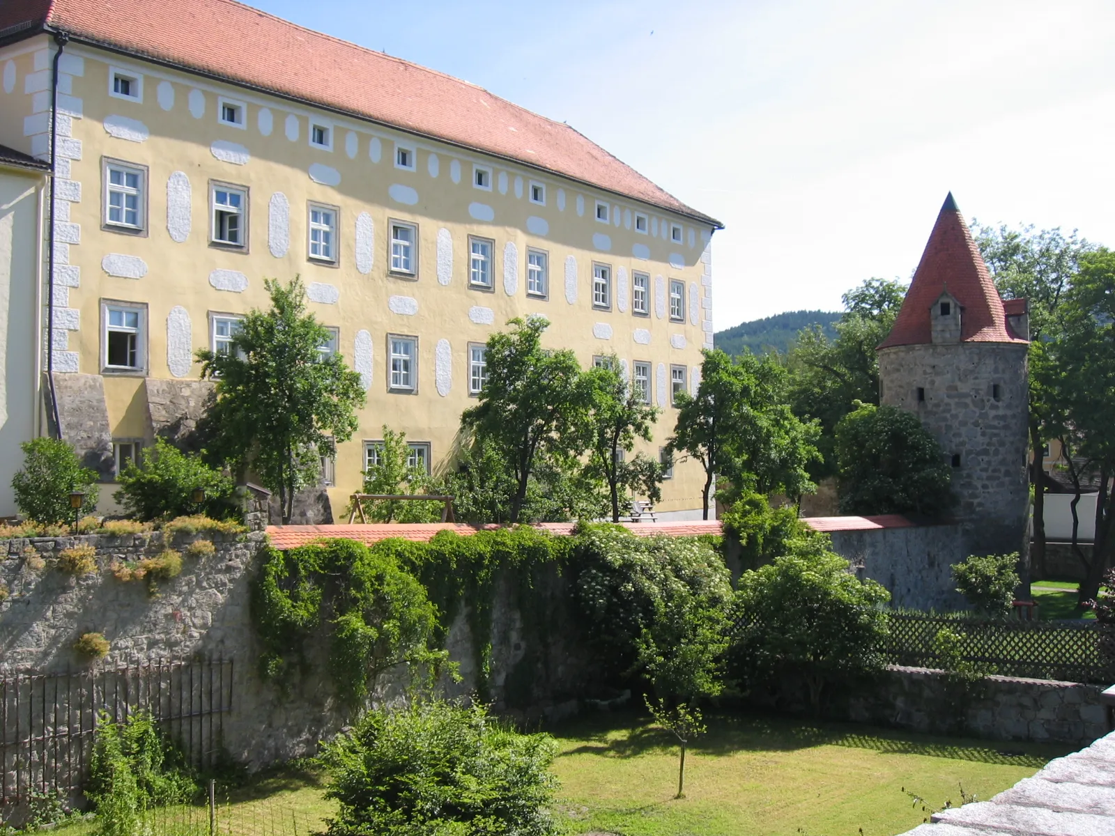
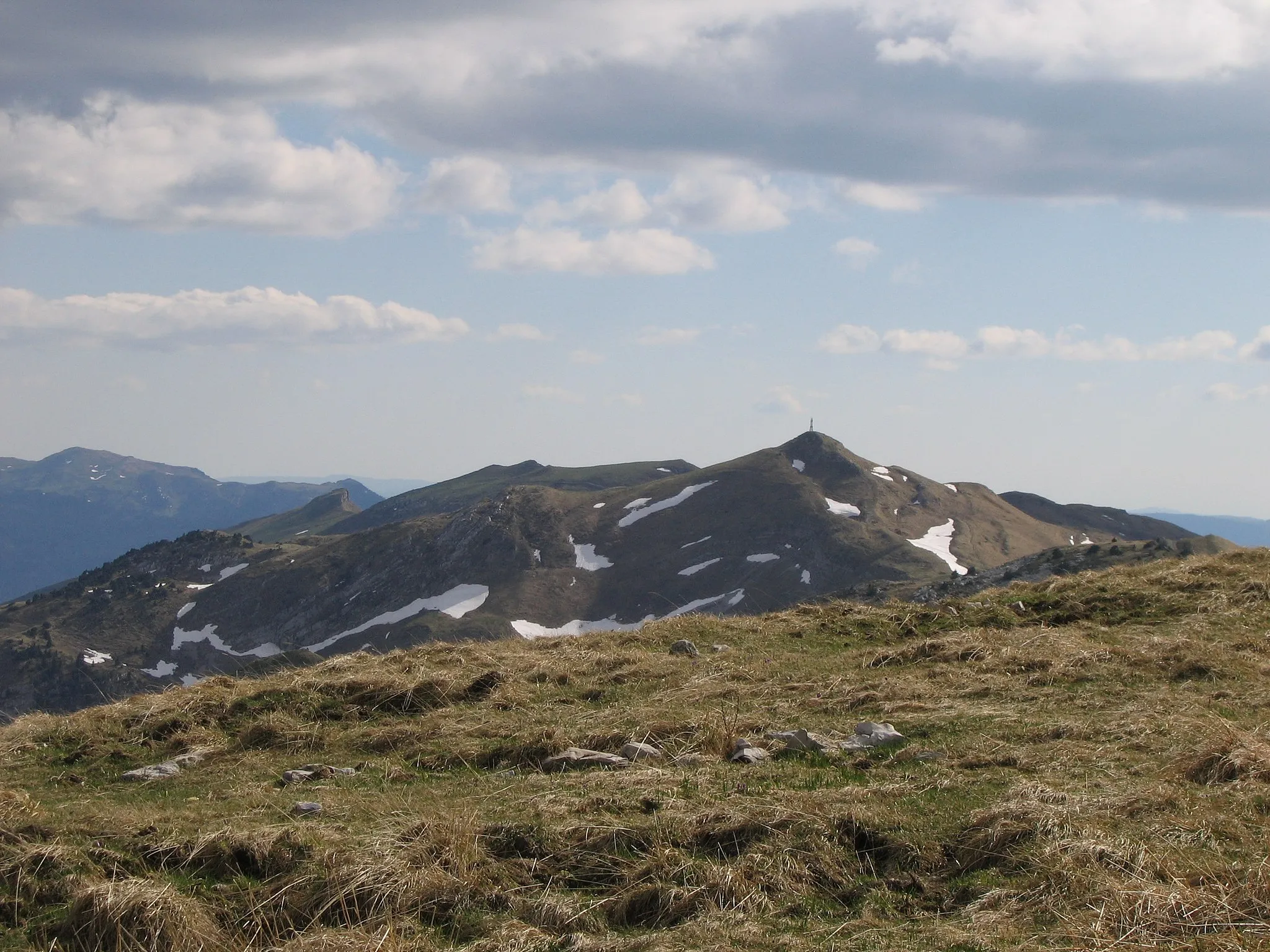
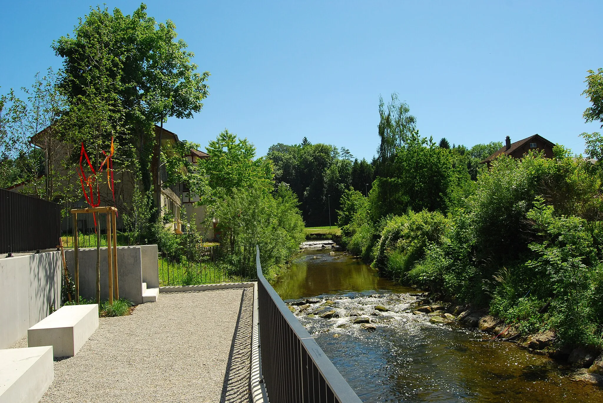
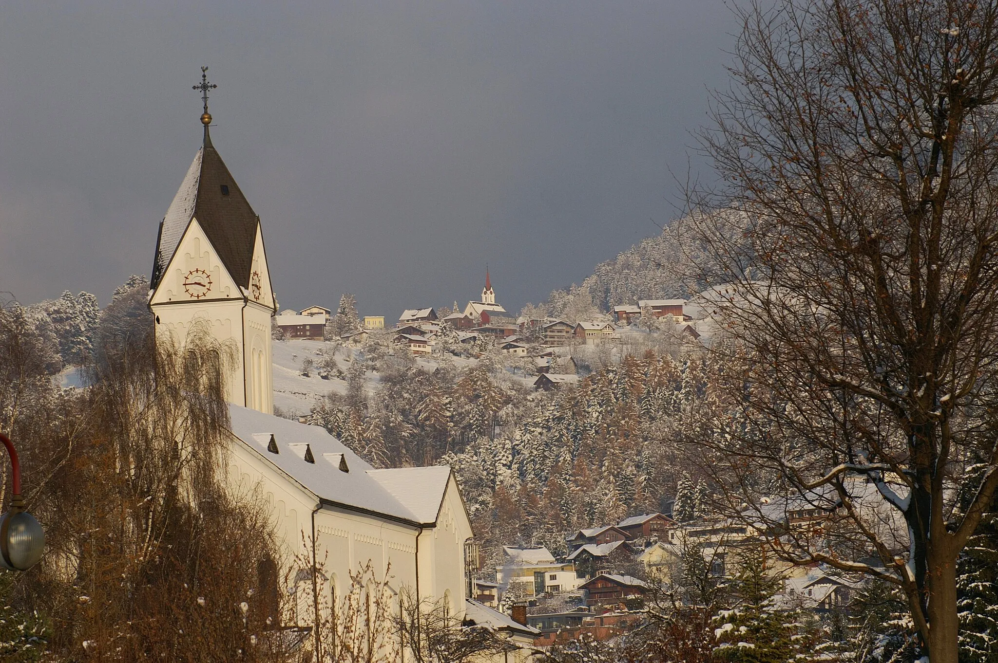
Gersau je malebná lokalita ve Švýcarsku s atraktivními cyklistickými trasami a úchvatným výhledem na jezero a hory. Pro cyklisty zde existují skvělé možnosti pro trénink i rekreační jízdy. V blízkosti se nachází legendární stoupání, která lákají zkušené cyklisty.
![Miniaturní mapa "Silniční cyklostezka kolem jezera Lucern" inspirace pro cyklisty v oblasti Zentralschweiz, Switzerland. Vytvořeno pomocí plánovače tras Tarmacs.app](https://images.tarmacs.app/cycling-routes/routemaps/600/switzerland/zentralschweiz/gersau/road/176782.webp)
Kolovalentní trasa kolem jezera Lucern, s překvapivým zastavením u Vogelherd,
Trasa nabízí panoramatické výhledy na jezero Lucern a okolní vrcholy. Projdete kolem klidného Einsiedelnu a zastavíte se u Vogelherd pro zajímavosti. Cesta končí ve vesnici Unteriberg, kde můžete ochutnat místní speciality.
![Miniaturní mapa "Gravel Route around Gersau and Lake Lucerne" inspirace pro cyklisty v oblasti Zentralschweiz, Switzerland. Vytvořeno pomocí plánovače tras Tarmacs.app](https://images.tarmacs.app/cycling-routes/routemaps/600/switzerland/zentralschweiz/gersau/gravel/176781.webp)
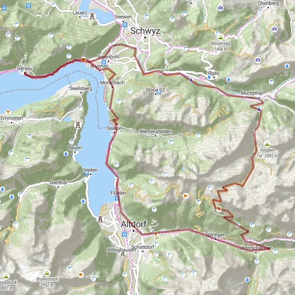
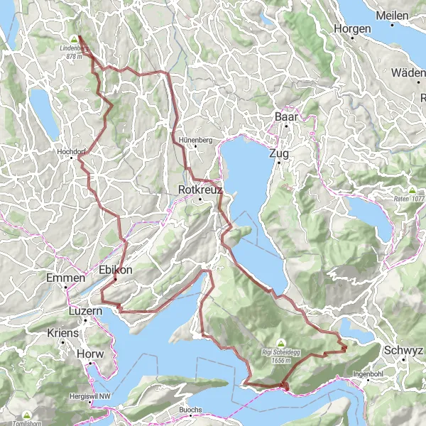
Explore the picturesque gravel route with stunning lake views
Embark on a challenging 91 km gravel route with 3498 m ascent around Gersau and Lake Lucerne. Marvel at the Gletschermühlen, unique rock formations created by glaciers. Pass through Muotathal and Altdorf, historical towns with charming architecture. Enjoy the scenic views from Chinzig Chulm and Axenstein. Conclude your journey back in Gersau, feeling accomplished and invigorated by the breathtaking nature of Zentralschweiz.
![Miniaturní mapa "Silniční výlet ke kyprému Rigi Hochflue" inspirace pro cyklisty v oblasti Zentralschweiz, Switzerland. Vytvořeno pomocí plánovače tras Tarmacs.app](https://images.tarmacs.app/cycling-routes/routemaps/600/switzerland/zentralschweiz/gersau/road/176826.webp)
Výlet silniční cyklistikou s náročným stoupáním na Rigi Hochflue a návratem přes Schwyzi.
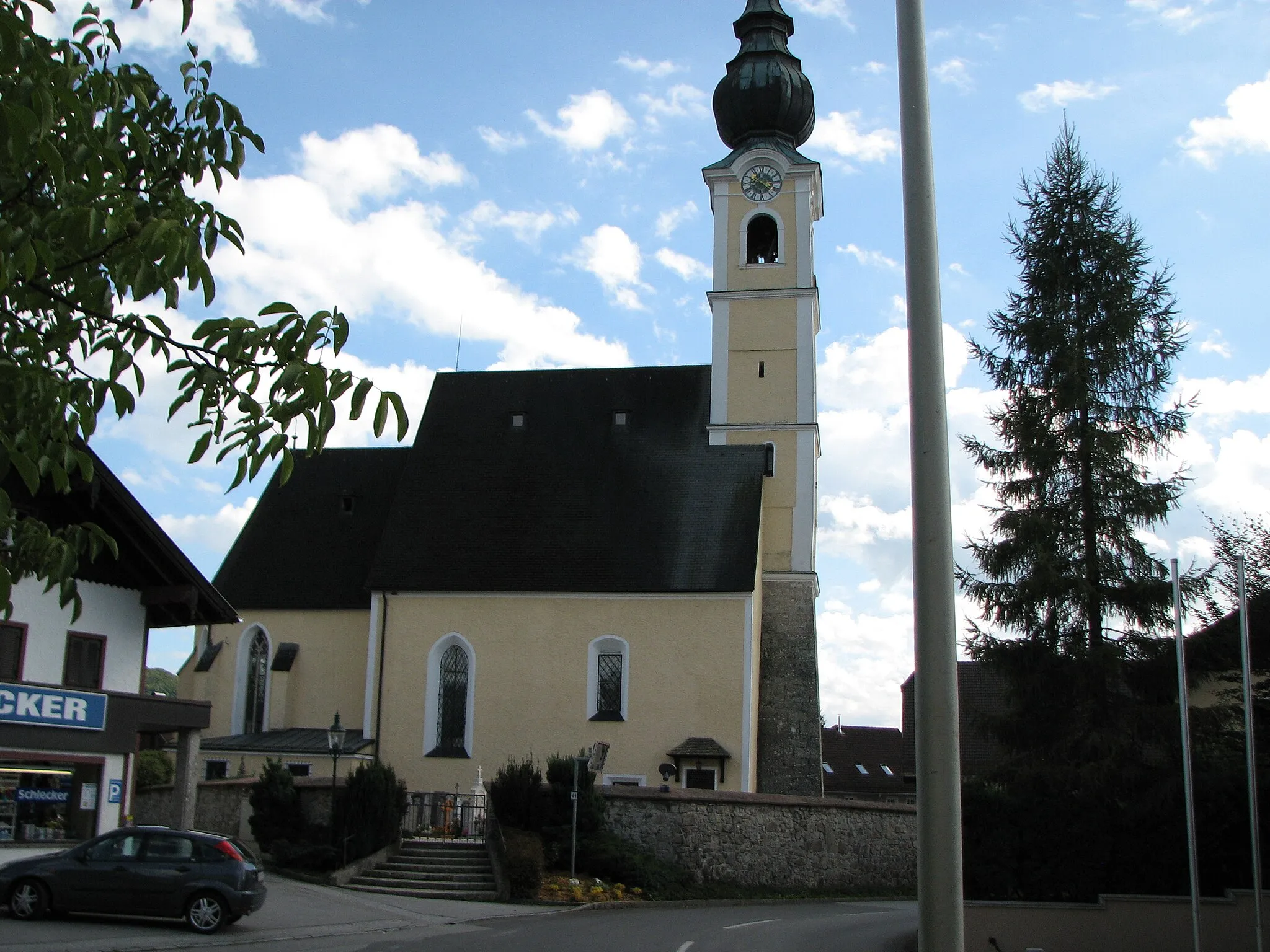
Tato trasa nabízí nádherné výhledy na jezero Lucern a okolní hory. Projedete kolem malebných vesnic, jako je Lauerz a Sattel, a skvěle si užijete přírodu a klid. Návrat přes Schwyzi vás provede historicky zajímavými místy a zajímavostmi.
![Miniaturní mapa "Okruhové cyklistické trasy kolem Gersau" inspirace pro cyklisty v oblasti Zentralschweiz, Switzerland. Vytvořeno pomocí plánovače tras Tarmacs.app](https://images.tarmacs.app/cycling-routes/routemaps/600/switzerland/zentralschweiz/gersau/gravel/176799.webp)
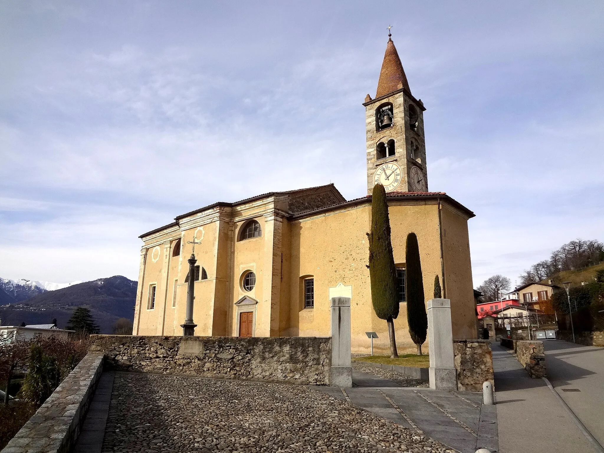
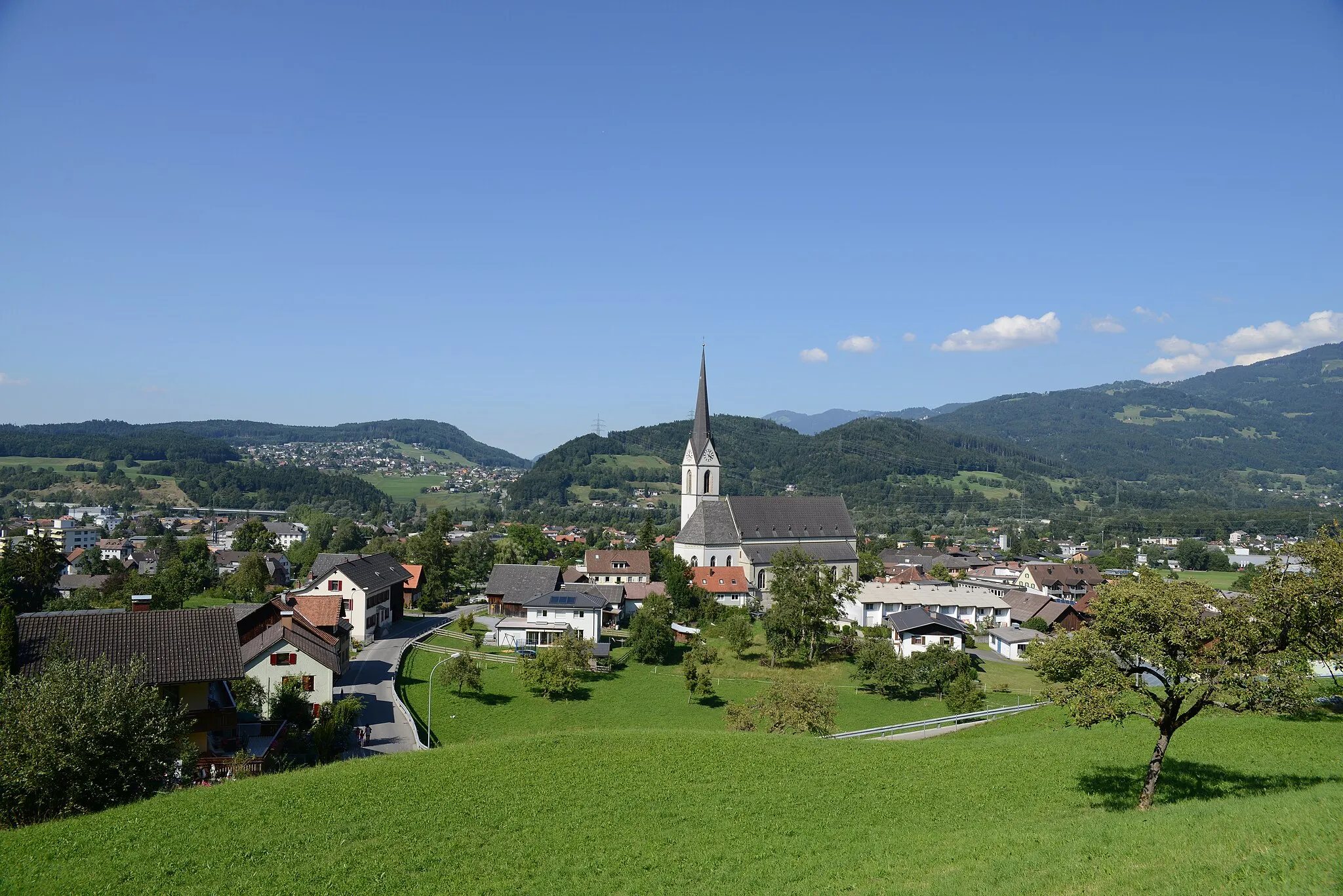
Zajímavá a rozmanitá krajina v centru Švýcarska
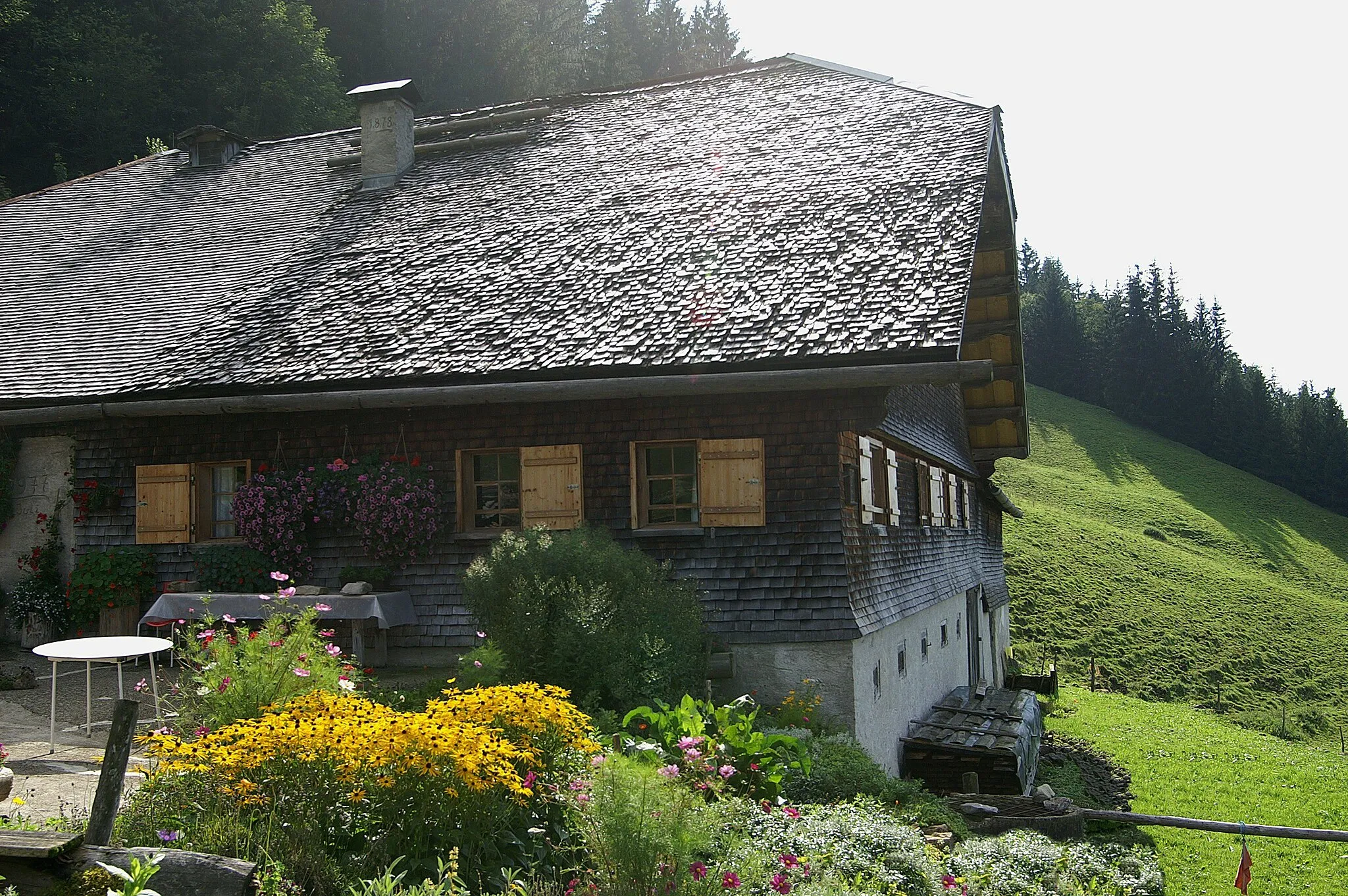
Procházka malebnou přírodou Zentralschweizu na kole je nezapomenutelný zážitek. Trasy nabízejí jak náročné stoupání a sjezdy, tak i poklidná úsečí kolem jezer a horských hřebenů. Okruhy jsou vhodné pro cyklisty všech úrovní dovedností a poskytují mnoho zajímavých bodů zájmu.
![Miniaturní mapa "Road Cycling Adventure from Gersau" inspirace pro cyklisty v oblasti Zentralschweiz, Switzerland. Vytvořeno pomocí plánovače tras Tarmacs.app](https://images.tarmacs.app/cycling-routes/routemaps/600/switzerland/zentralschweiz/gersau/road/176857.webp)
Challenging road cycling route with stunning views
This road cycling route offers a challenging ascent and fast descents with breathtaking views of the surrounding mountains and lakes. The route passes through picturesque villages and historical sites, providing a mix of nature and culture. Suitable for experienced cyclists looking for a scenic and demanding ride.
![Miniaturní mapa "Gravel Horská dráha k Vitznauerstock/Gersauerstock" inspirace pro cyklisty v oblasti Zentralschweiz, Switzerland. Vytvořeno pomocí plánovače tras Tarmacs.app](https://images.tarmacs.app/cycling-routes/routemaps/600/switzerland/zentralschweiz/gersau/gravel/176809.webp)
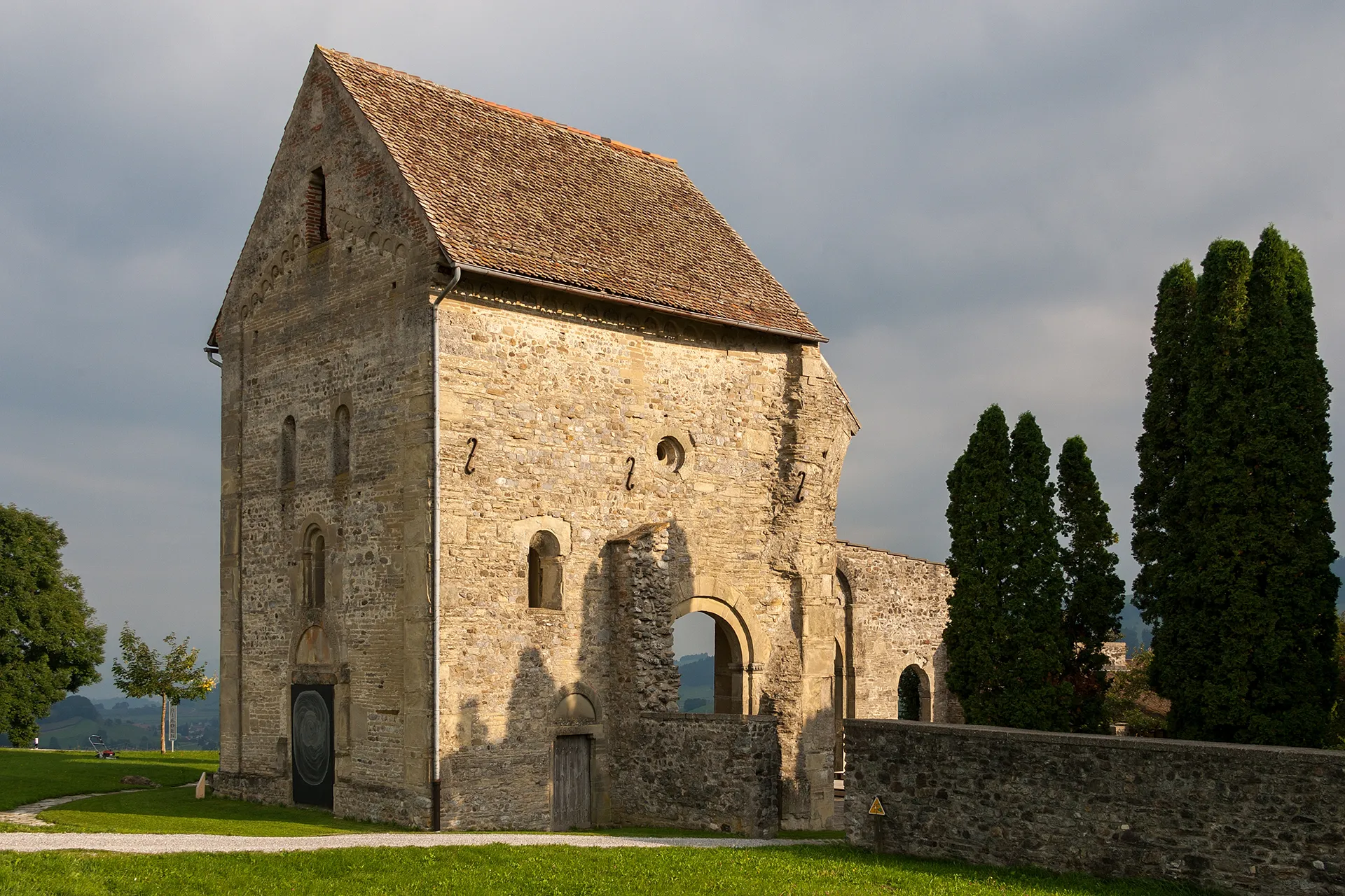
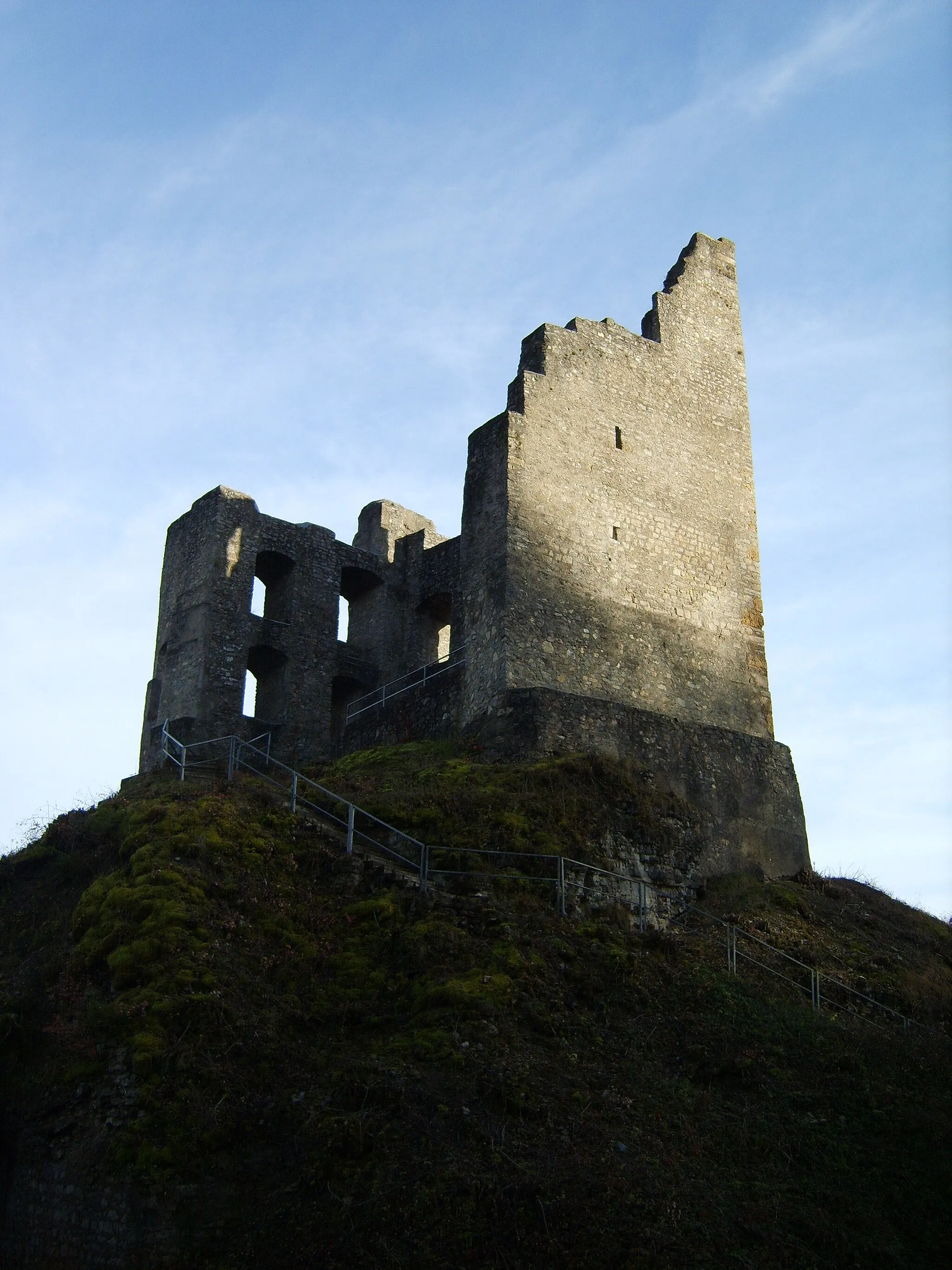
Trasa gravelové cyklistiky vede kolem malebného jezera Lucern, s nešťastným zastavením na vrcholu Vitznauerstock/Gersauerstock.
Trasa nabízí nádherné výhledy na okolní hory a jezero Lucern. Projdete kolem historické Gesslerburgu a můžete navštívit Gletschergarten-Turm. Nakonec dorazíte do Královského města Lucernu a pak se vrátíte do Gersau.
![Miniaturní mapa "Challenging Gravel Ride to Raten" inspirace pro cyklisty v oblasti Zentralschweiz, Switzerland. Vytvořeno pomocí plánovače tras Tarmacs.app](https://images.tarmacs.app/cycling-routes/routemaps/600/switzerland/zentralschweiz/gersau/gravel/176802.webp)
Gravel ride with technical challenges and rewarding views
This challenging gravel ride is perfect for experienced cyclists looking for an adrenaline rush. With steep climbs and fast descents, the route offers a mix of technical challenges and breathtaking views. From rugged mountain terrain to peaceful lakeside paths, this ride has it all.
![Miniaturní mapa "Road Route to Vitznau and Küssnacht" inspirace pro cyklisty v oblasti Zentralschweiz, Switzerland. Vytvořeno pomocí plánovače tras Tarmacs.app](https://images.tarmacs.app/cycling-routes/routemaps/600/switzerland/zentralschweiz/gersau/road/176818.webp)
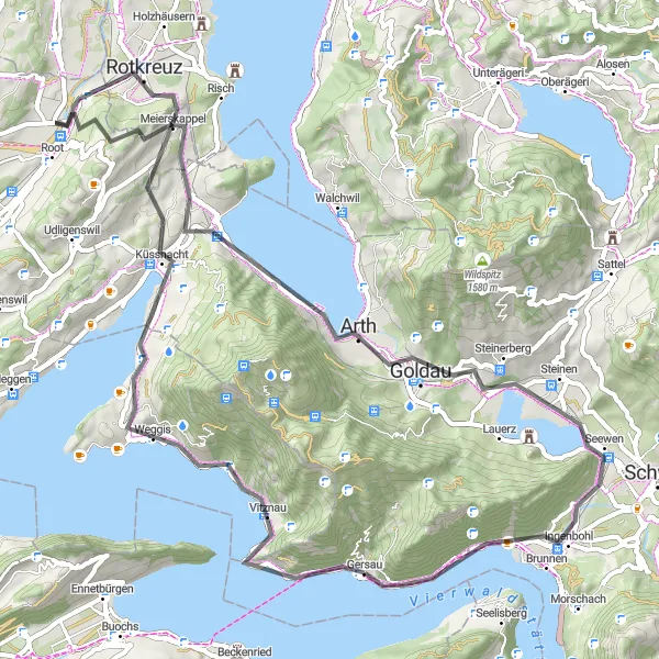
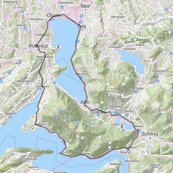
Enjoy a scenic road route with cultural highlights and stunning landscapes
Embark on a 69 km road route with 1293 m ascent from Gersau to Vitznau and Küssnacht. Discover the charming town of Vitznau and its historical significance. Enjoy the panoramic views from Chappelerberg and Honau, offering breathtaking vistas of Zentralschweiz. Explore the cultural landmarks of Arth and Unterwasserfenster / Bärengehege. Cycle through the picturesque town of Ingenbohl and Bützi, concluding your journey enriched with cultural experiences and scenic beauty.
![Miniaturní mapa "Náročná cyklotrasa kolem Lindenbergu" inspirace pro cyklisty v oblasti Zentralschweiz, Switzerland. Vytvořeno pomocí plánovače tras Tarmacs.app](https://images.tarmacs.app/cycling-routes/routemaps/600/switzerland/zentralschweiz/gersau/gravel/176825.webp)
Extrémně náročná trasa s nádhernými výhledy
Tato trasa je vhodná pro zkušené cyklisty, kteří hledají výzvu. Extrémní stoupání a technické sjezdy přinášejí adrenalinový zážitek. Cesta vede kolem malebných vesnic a okolo nádherných jezer a hor.
![Miniaturní mapa "Okružní trasa kolem Gersau" inspirace pro cyklisty v oblasti Zentralschweiz, Switzerland. Vytvořeno pomocí plánovače tras Tarmacs.app](https://images.tarmacs.app/cycling-routes/routemaps/600/switzerland/zentralschweiz/gersau/road/203978.webp)
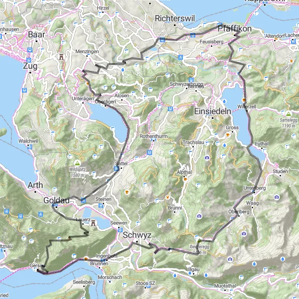
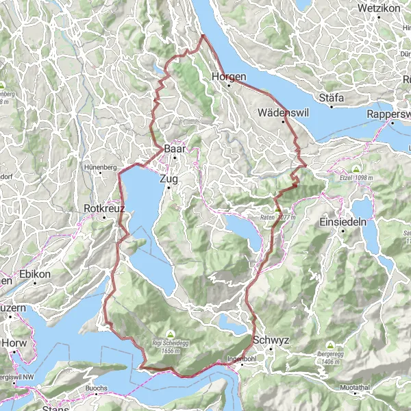
Náročná cesta s významným převýšením v průchodu horskou scenérií
Tato 88 kilometrů dlouhá cyklistická trasa nabízí vynikající výhledy na okolní jezera a hory středního Švýcarska. Navštivte malebná městečka jako Menzingen či Schwyz a užijte si bohaté zážitky z horské cyklistiky.
Cyklotrasy v okolí:
![Obrázek Feldkirch](https://images.tarmacs.app/cycling-routes/covers/austria/vorarlberg/feldkirch-5.webp)
![Obrázek Meiningen](https://images.tarmacs.app/cycling-routes/covers/austria/vorarlberg/meiningen-5.webp)
![Obrázek Frastanz](https://images.tarmacs.app/cycling-routes/covers/austria/vorarlberg/frastanz-5.webp)
![Obrázek Göfis](https://images.tarmacs.app/cycling-routes/covers/austria/vorarlberg/goefis-4.webp)
![Obrázek Koblach](https://images.tarmacs.app/cycling-routes/covers/austria/vorarlberg/koblach-5.webp)
![Obrázek Satteins](https://images.tarmacs.app/cycling-routes/covers/austria/vorarlberg/satteins-5.webp)
![Obrázek Rankweil](https://images.tarmacs.app/cycling-routes/covers/austria/vorarlberg/rankweil-4.webp)
![Obrázek Sulz](https://images.tarmacs.app/cycling-routes/covers/austria/vorarlberg/sulz-3.webp)
![Obrázek Mäder](https://images.tarmacs.app/cycling-routes/covers/austria/vorarlberg/maeder-3.webp)
Okolní oblasti:
![Obrázek Kärnten](https://images.tarmacs.app/cycling-routes/covers/austria/karnten/st-veiter-vorstadt-4.webp)
![Obrázek Oberösterreich](https://images.tarmacs.app/cycling-routes/covers/austria/oberosterreich/freistadt-5.webp)
![Obrázek Salzburg](https://images.tarmacs.app/cycling-routes/covers/austria/salzburg/anthering-3.webp)
![Obrázek Tirol](https://images.tarmacs.app/cycling-routes/covers/austria/tirol/niederndorf-4.webp)
![Obrázek Vorarlberg](https://images.tarmacs.app/cycling-routes/covers/austria/vorarlberg/andelsbuch-4.webp)
![Obrázek Région lémanique](https://images.tarmacs.app/cycling-routes/covers/switzerland/region-lemanique/sainte-croix-5.webp)
![Obrázek Espace Mittelland](https://images.tarmacs.app/cycling-routes/covers/switzerland/espace-mittelland/rueggisberg-3.webp)
![Obrázek Nordwestschweiz](https://images.tarmacs.app/cycling-routes/covers/switzerland/nordwestschweiz/suhr-5.webp)
![Obrázek Zürich](https://images.tarmacs.app/cycling-routes/covers/switzerland/zurich/zuerich-kreis-2-wollishofen-4.webp)
![Obrázek Ostschweiz](https://images.tarmacs.app/cycling-routes/covers/switzerland/ostschweiz/wangi-5.webp)
![Obrázek Ticino](https://images.tarmacs.app/cycling-routes/covers/switzerland/ticino/comano-2.webp)
![Obrázek Freiburg](https://images.tarmacs.app/cycling-routes/covers/germany/freiburg/bosingen-5.webp)
![Obrázek Piemonte](https://images.tarmacs.app/cycling-routes/covers/italy/piemonte/gargallo-3.webp)
![Obrázek Liechtenstein](https://images.tarmacs.app/cycling-routes/covers/liechtenstein/liechtenstein/balzers-4.webp)