![Cover image](https://images.tarmacs.app/cycling-routes/covers/switzerland/zurich/nanikon-5.webp)
Cyklistický ráj u jezer a hor
Cyklistické trasy kolem Nanikon
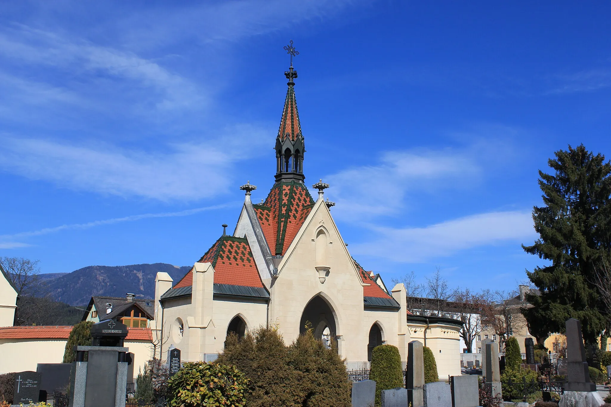
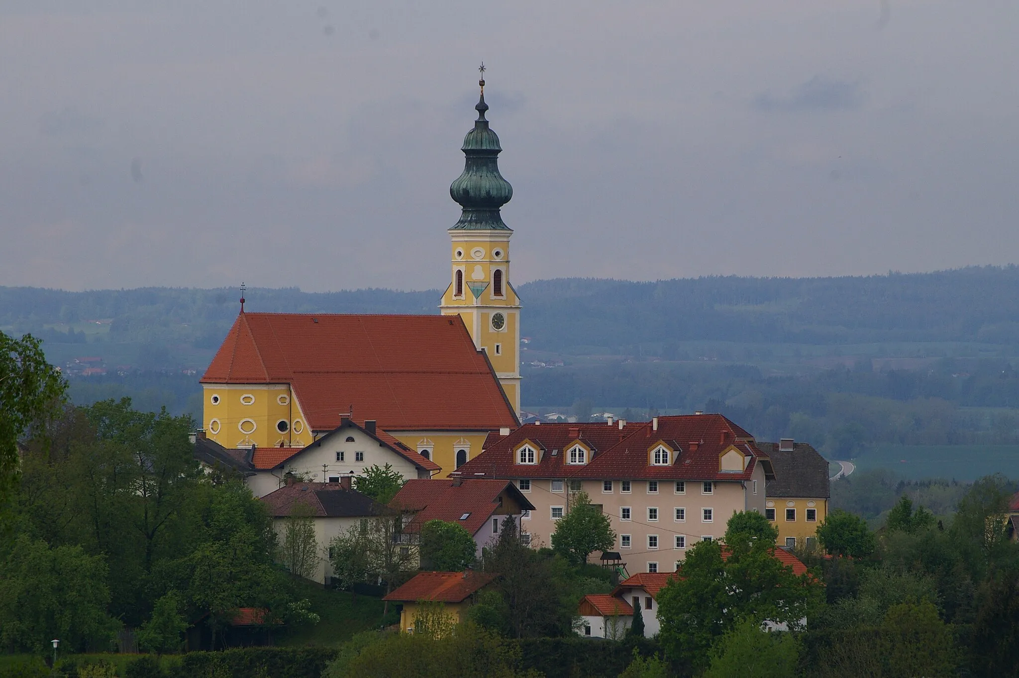
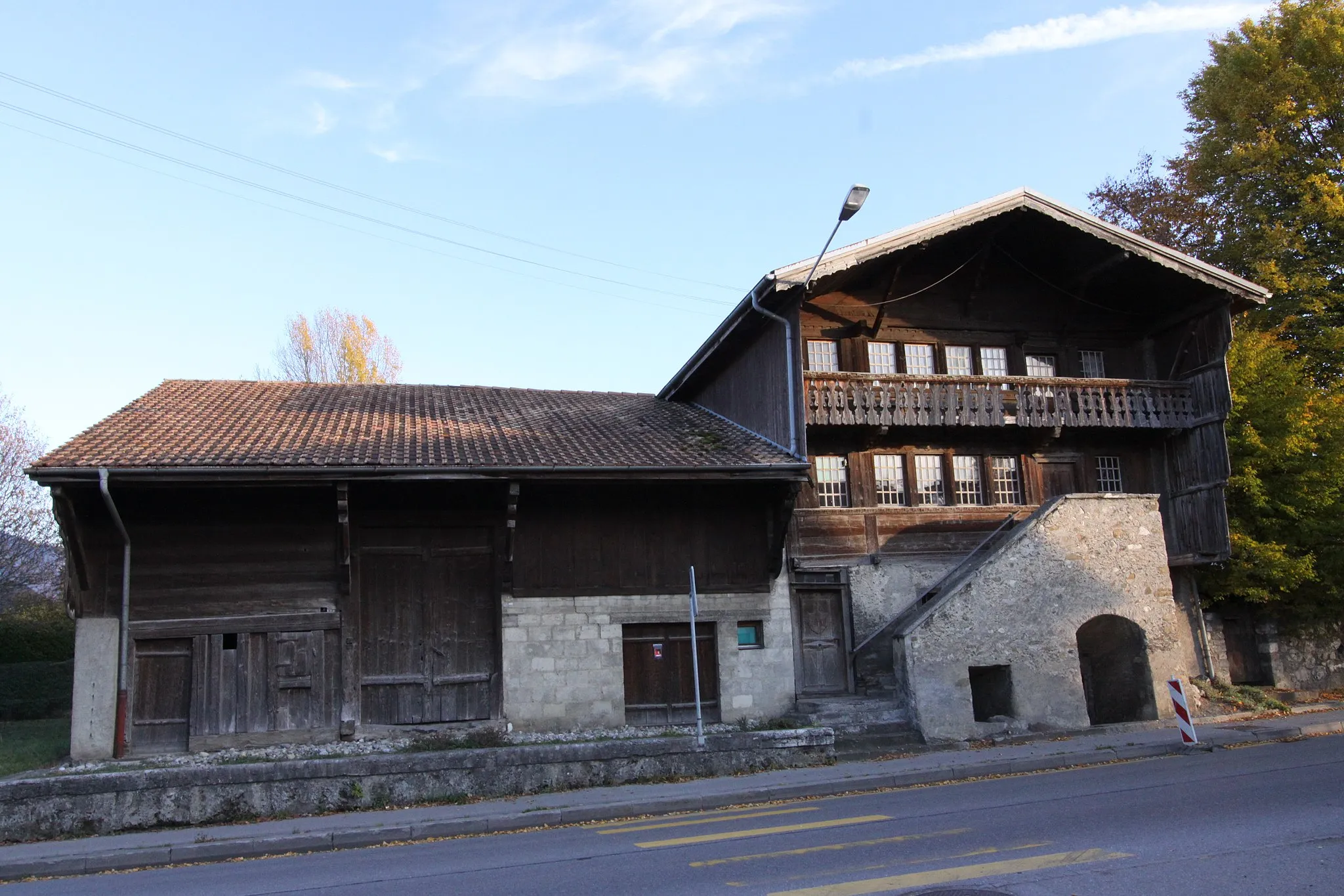
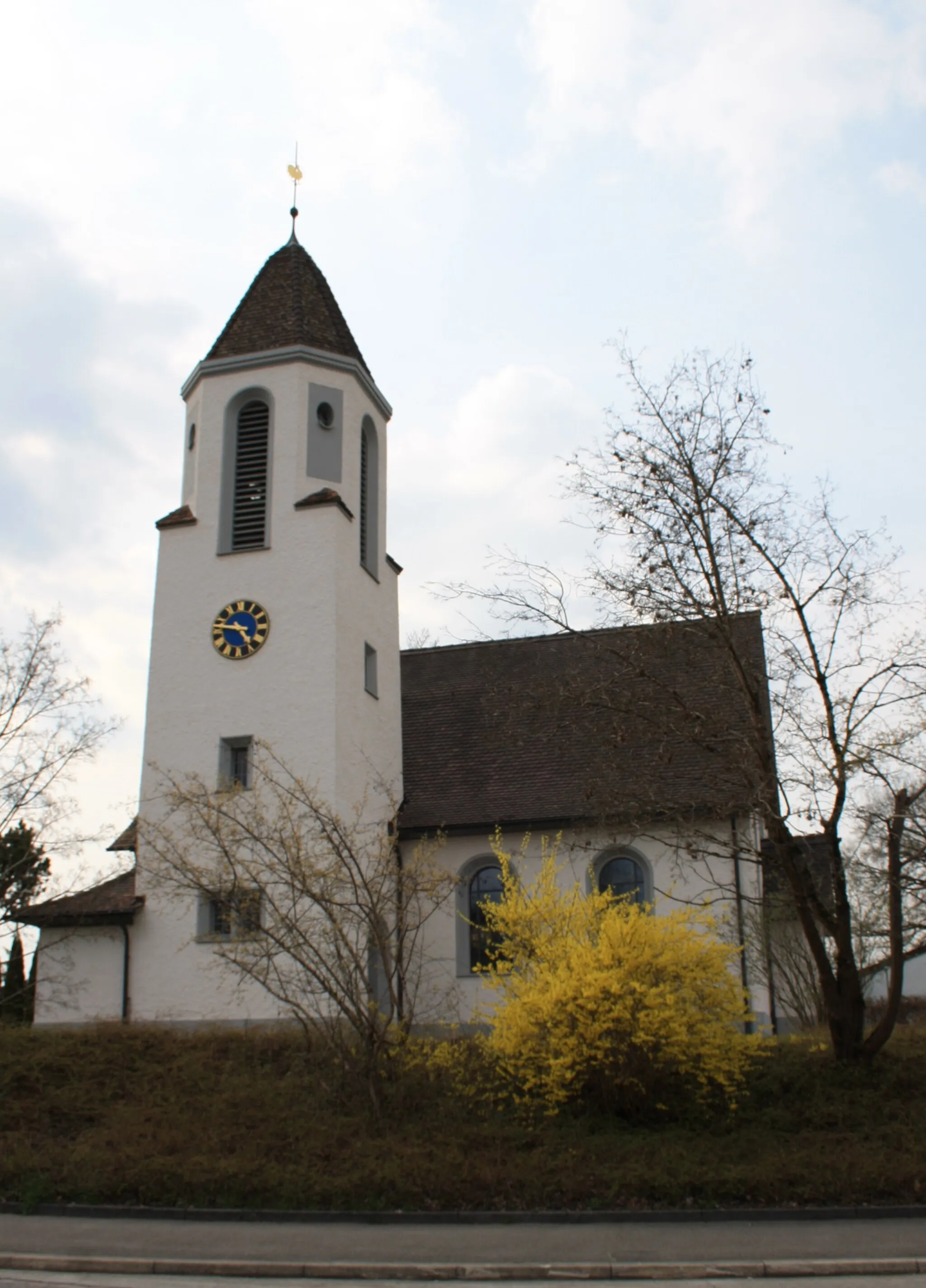
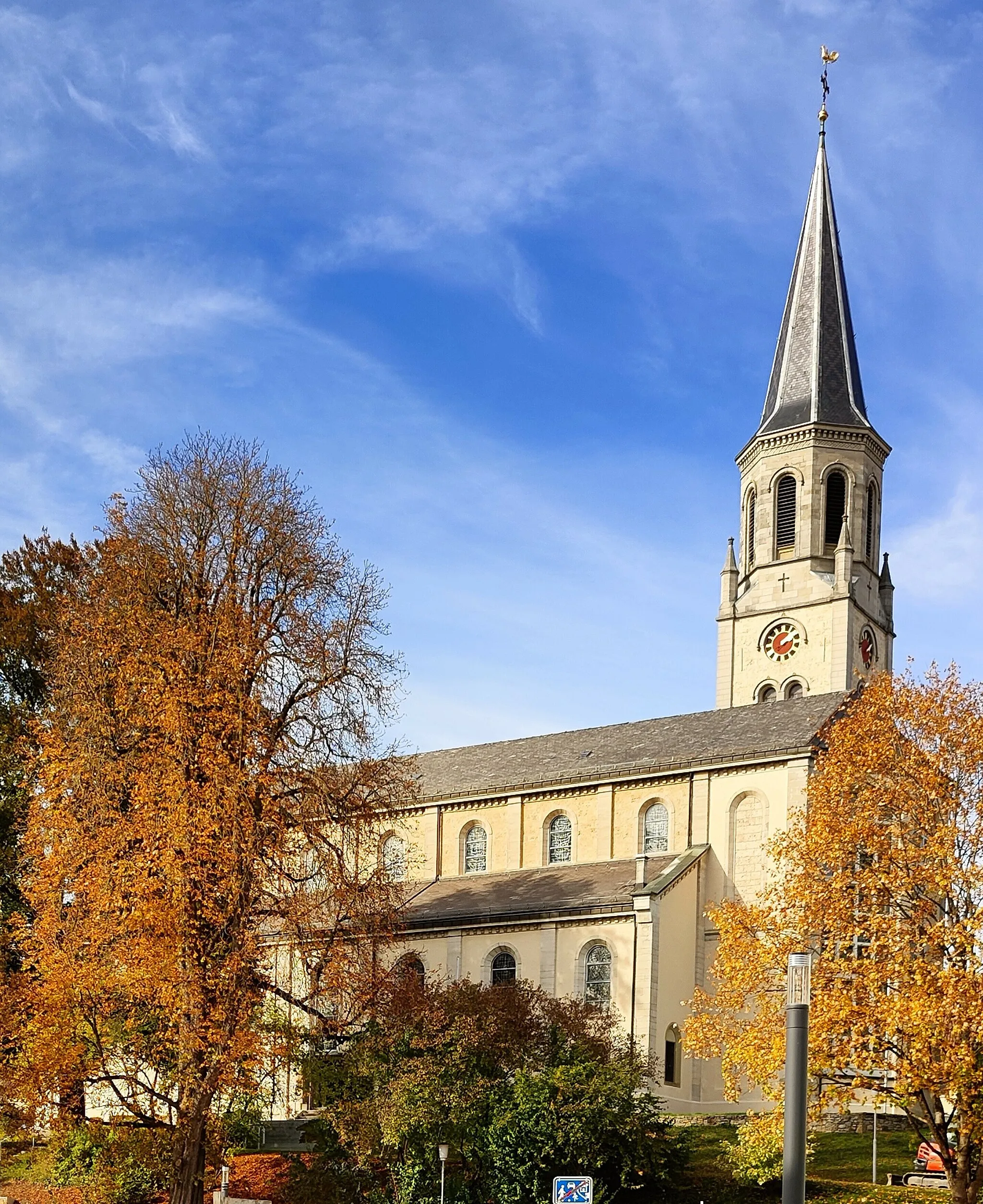
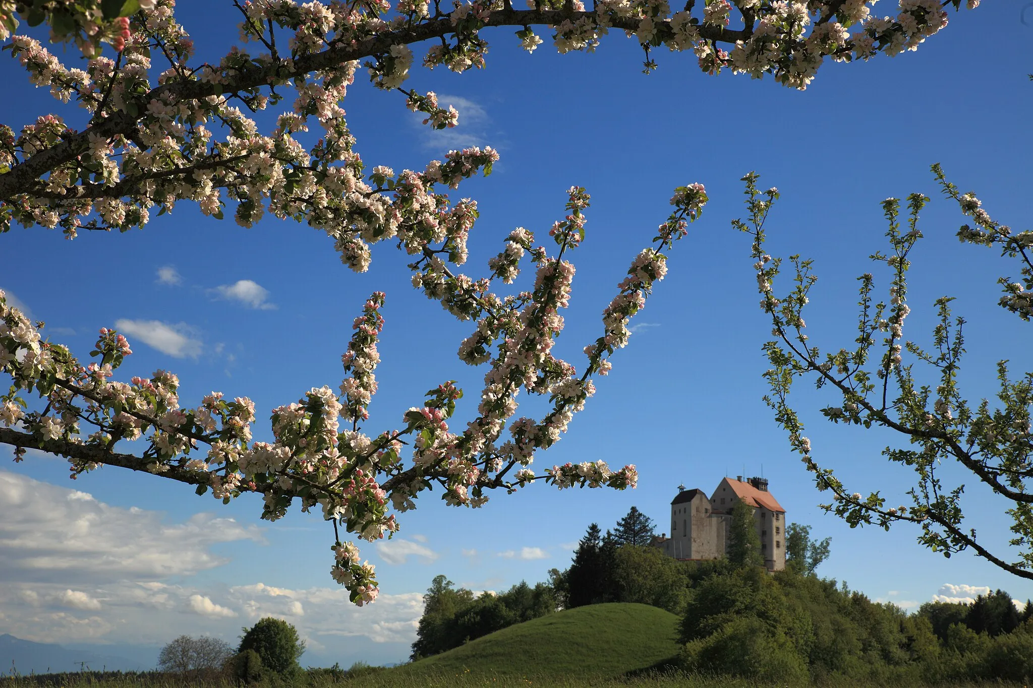
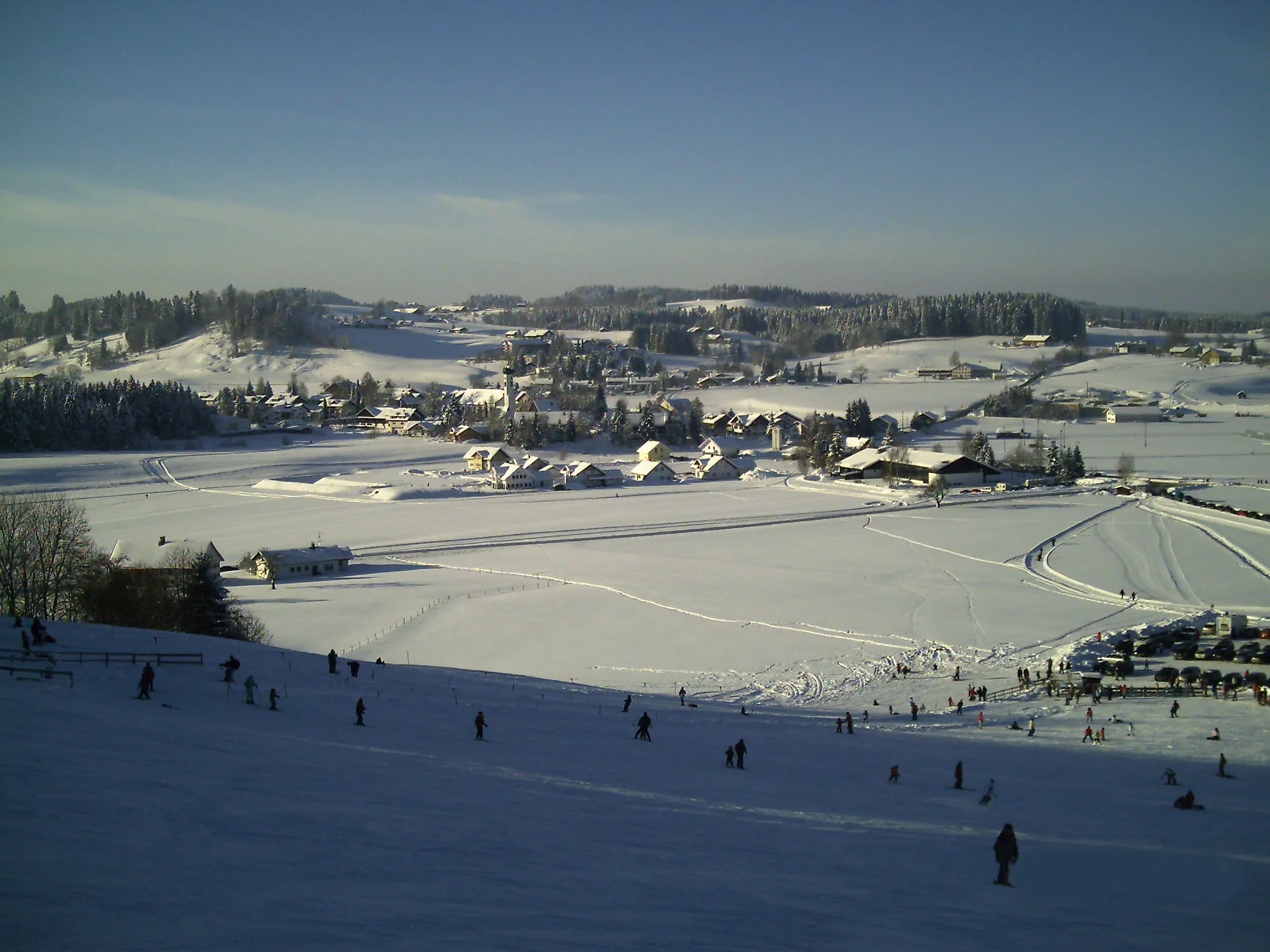
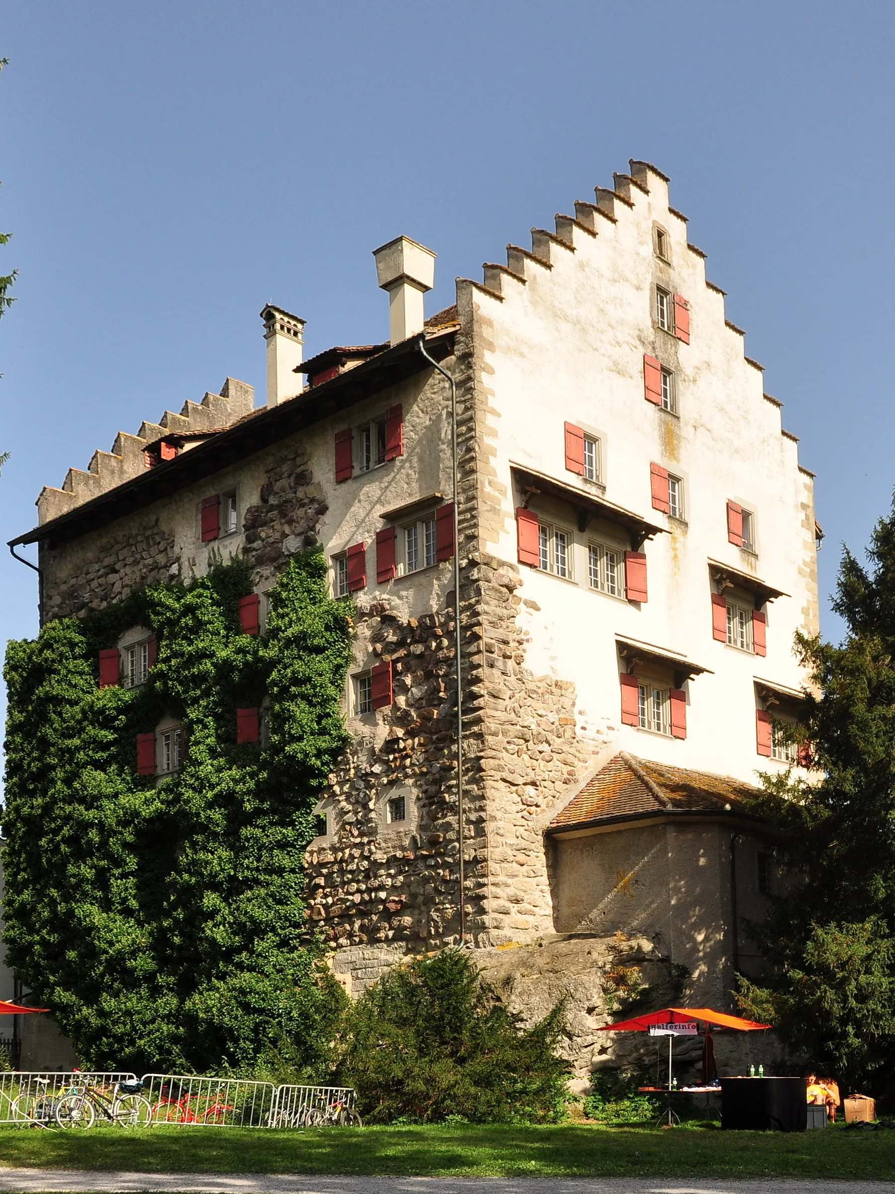
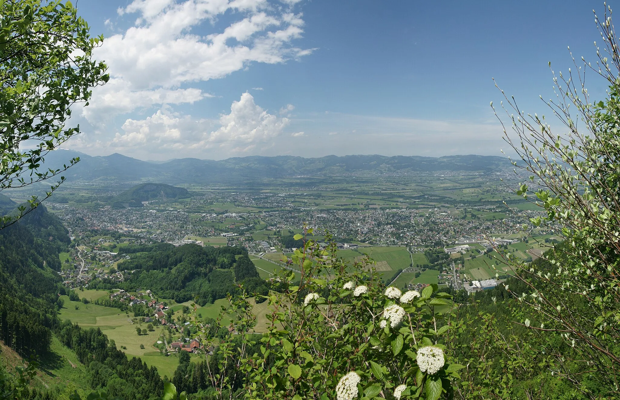
Nänikon je malebné městečko ve švýcarském kantonu Curych. Cyklisté zde mohou objevovat malebné venkovské silnice, které vedou kolem úchvatných jezer a hor. Nechybí ani možnosti výletů do okolní přírody a návštěvy historických památek. V okolí se nachází několik známých cyklistických tras a oblíbených stoupání.
![Miniaturní mapa "Cyklotrasa z Dietlikonu podél Greifensee" inspirace pro cyklisty v oblasti Zürich, Switzerland. Vytvořeno pomocí plánovače tras Tarmacs.app](https://images.tarmacs.app/cycling-routes/routemaps/600/switzerland/zurich/nanikon/road/69841.webp)
Prozkoumejte malebný Greifensee na cyklotrase začínající v Dietlikonu.
Tento okruh nabízí pohodový výlet kolem Greifensee s mnoha zajímavými zastávkami a krásnými výhledy na jezero. Ideální pro rodinné výlety i rekreační cyklisty.
![Miniaturní mapa "Gravelová cyklotrasa přes Grüninger See" inspirace pro cyklisty v oblasti Zürich, Switzerland. Vytvořeno pomocí plánovače tras Tarmacs.app](https://images.tarmacs.app/cycling-routes/routemaps/600/switzerland/zurich/nanikon/gravel/69823.webp)
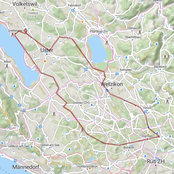
Přijďte objevit krásy jezera Grüninger na rozmanité trase s kamenitým povrchem.
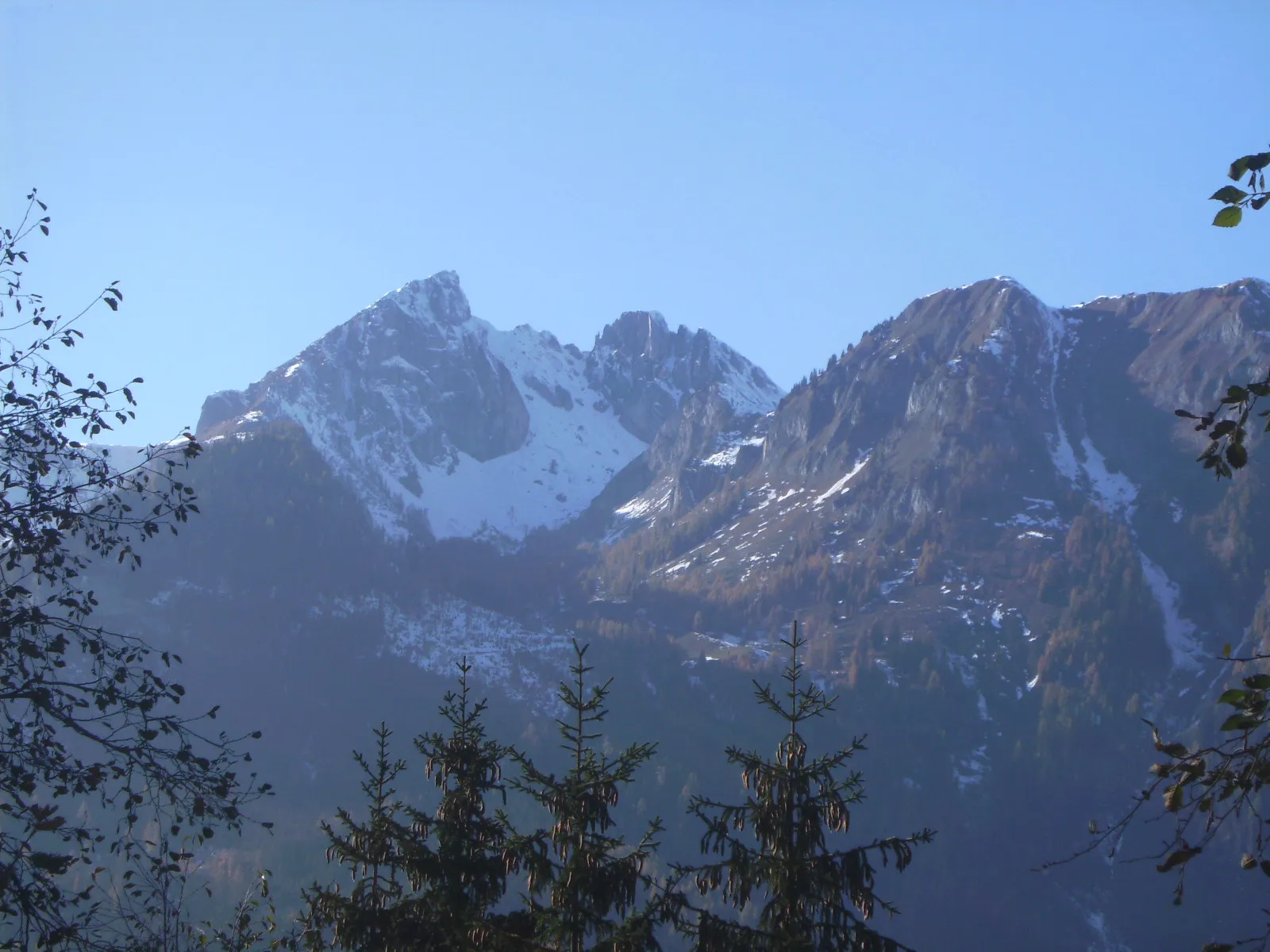
Tato trasa zelených plání a kopcovité krajiny vám poskytne skvělý pohled na alpskou scenérii uprostřed jezera Grüninger See. Ideální pro milovníky gravel bikingu, cestovatele i zkušené cyklisty.
![Miniaturní mapa "Gravel Tour Russikon – Seegräben" inspirace pro cyklisty v oblasti Zürich, Switzerland. Vytvořeno pomocí plánovače tras Tarmacs.app](https://images.tarmacs.app/cycling-routes/routemaps/600/switzerland/zurich/nanikon/gravel/69888.webp)
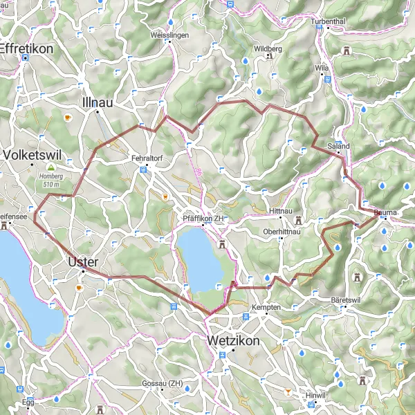
A scenic journey through rural landscapes and historic sites
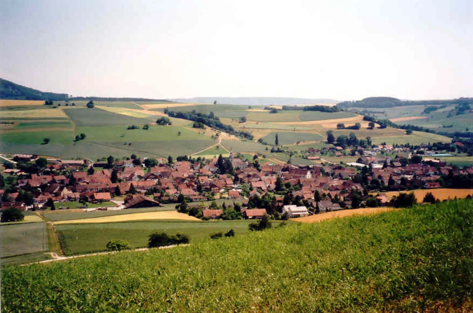
This 44 km gravel tour takes you through charming villages like Russikon and Seegräben. Admire the beauty of Schlossberg and Bauma along the way. With 800 meters of ascent, this route offers a moderate challenge for cyclists. Explore the peaceful countryside and enjoy the tranquility of the rural surroundings.
![Miniaturní mapa "Gravelová cesta přes přírodní park Greifensee" inspirace pro cyklisty v oblasti Zürich, Switzerland. Vytvořeno pomocí plánovače tras Tarmacs.app](https://images.tarmacs.app/cycling-routes/routemaps/600/switzerland/zurich/nanikon/gravel/69803.webp)
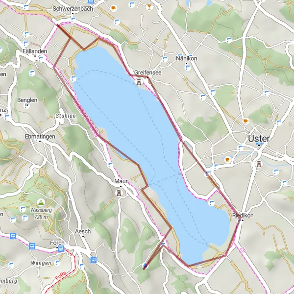
Zajímavá gravelová trasa s půvabem jezera a lesními cestami
Tato krátká gravelová cesta vede kolem jezera Greifensee a nabízí jedinečný pohled na okolní přírodu. S celkovým stoupáním 197 metrů na vzdálenosti 21 kilometrů je ideální pro začátečníky i pokročilé cyklisty, kteří hledají dobrodružství mimo silnice. Cesta prochází místy jako Maur a Schwerzenbach.
![Miniaturní mapa "Gravel Tour Adlisberg – Fallätsche Buch" inspirace pro cyklisty v oblasti Zürich, Switzerland. Vytvořeno pomocí plánovače tras Tarmacs.app](https://images.tarmacs.app/cycling-routes/routemaps/600/switzerland/zurich/nanikon/gravel/70212.webp)
Journey through lush forests and charming villages
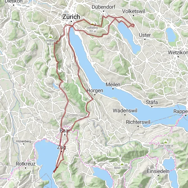
This 104 km long gravel tour offers a variety of landscapes, from the scenic Adlisberg to the majestic Fallätsche Buch. Explore the historic cities of Zurich and Zug along the way. Enjoy the breathtaking views of Greifensee and the Alpen Panorama mitten im See. The route is challenging with 2081 meters of ascent, but the highlights make it all worth it.
![Miniaturní mapa "Gravel Tour Greifensee – Mönchaltorf" inspirace pro cyklisty v oblasti Zürich, Switzerland. Vytvořeno pomocí plánovače tras Tarmacs.app](https://images.tarmacs.app/cycling-routes/routemaps/600/switzerland/zurich/nanikon/gravel/69848.webp)
Scenic gravel tour with historical and natural highlights
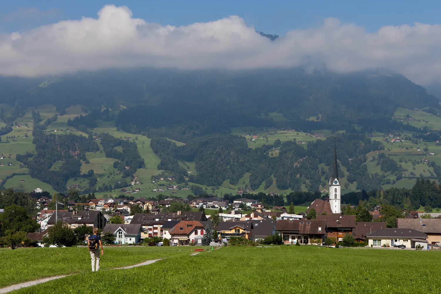
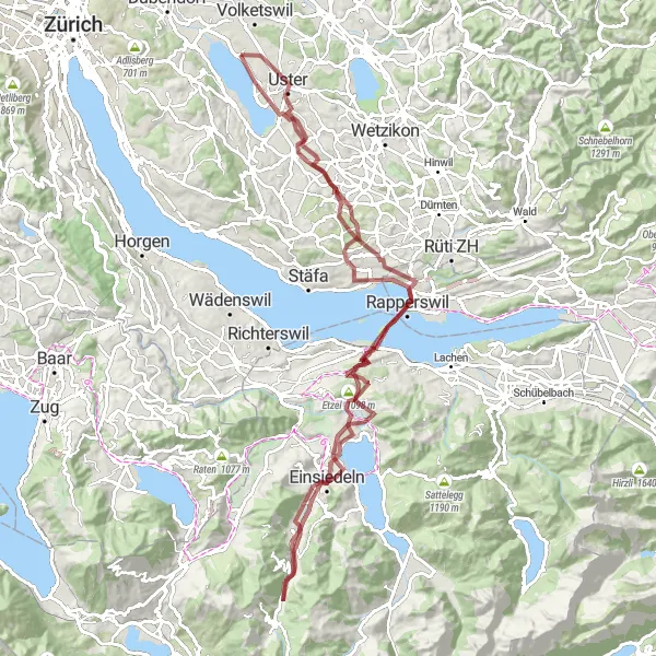
Embark on a 102 km gravel tour from Greifensee to Mönchaltorf, passing through Paradies and Rapperswil. Enjoy the stunning views of the Alpen Panorama mitten im See and the beauty of Einsiedeln. With 1506 meters of ascent, this route offers a challenging ride for cyclists. Explore the historical sites of Trachslau and Vogelherd, and take in the natural beauty of Etzel and Hombrechtikon.
![Miniaturní mapa "Okružní cyklotrasa Zürichského jezera" inspirace pro cyklisty v oblasti Zürich, Switzerland. Vytvořeno pomocí plánovače tras Tarmacs.app](https://images.tarmacs.app/cycling-routes/routemaps/600/switzerland/zurich/nanikon/road/69820.webp)
Prozkoumejte okolí Zürichského jezera z pohledu cyklistiky.
Tato trasa vede přes městské oblasti, doprovázená krásnými výhledy a historickými památkami. Nabízí vám unikátní možnost objevit krásy Züricha na kole.
![Miniaturní mapa "Zürichská cyklotrasa s výhledy" inspirace pro cyklisty v oblasti Zürich, Switzerland. Vytvořeno pomocí plánovače tras Tarmacs.app](https://images.tarmacs.app/cycling-routes/routemaps/600/switzerland/zurich/nanikon/road/69821.webp)
Vydejte se na cyklistický výlet plný úchvatných výhledů na krajinu kolem Züricha.
Tato okružní trasa vám umožní objevit malebnou krajinu s bohatou historií a překrásnou panoramatickou vyhlídkou. Na cestě se setkáte s historickými památkami a zastaveními pro občerstvení.
![Miniaturní mapa "Cyklistická trasa kolem jezera Greifensee" inspirace pro cyklisty v oblasti Zürich, Switzerland. Vytvořeno pomocí plánovače tras Tarmacs.app](https://images.tarmacs.app/cycling-routes/routemaps/600/switzerland/zurich/nanikon/road/69835.webp)
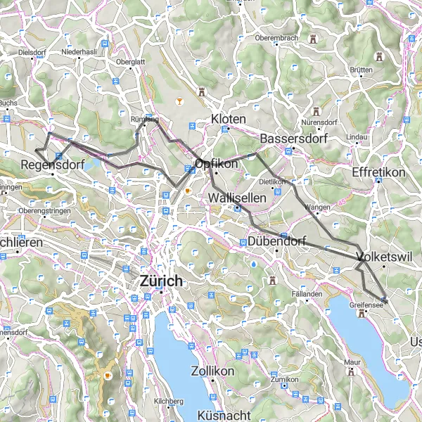
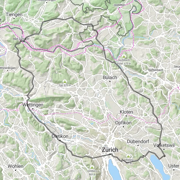
Krásná cesta s výhledy na jezero a okolní krajinu
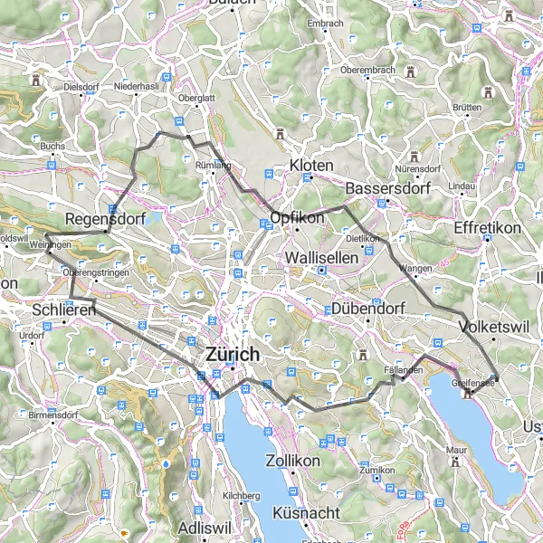
Tato cyklistická trasa nabízí jedinečné pohledy na jezero Greifensee a panoramatické výhledy z významných míst podél cesty. S celkovým stoupáním 718 metrů na vzdálenosti 87 kilometrů je ideální pro středně pokročilé cyklisty. Trasa vede přes místa jako Hönggerberg, Regensdorf nebo Chöpfi.
![Miniaturní mapa "Okružní cesta do přírodního parku Greifensee" inspirace pro cyklisty v oblasti Zürich, Switzerland. Vytvořeno pomocí plánovače tras Tarmacs.app](https://images.tarmacs.app/cycling-routes/routemaps/600/switzerland/zurich/nanikon/road/131120.webp)
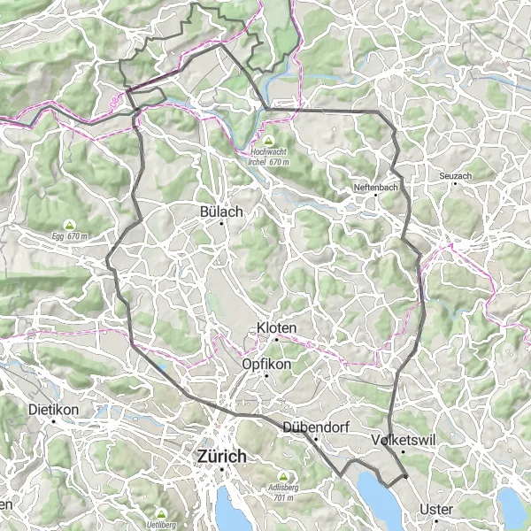
Nádherná cyklistická trasa s výhledy na jezero a stoupáními
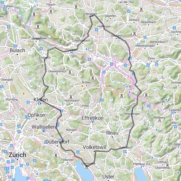
Tato okružní cesta nabízí krásné výhledy na jezero Greifensee a malebné vesnice podél trasy. Celkové stoupání 1463 metrů na vzdálenosti 114 kilometrů poskytuje náročnou výzvu pro zkušené cyklisty. Cesta vede přes různorodá místa jako Chrüzliberg, Baden nebo Eglisau.
Cyklotrasy v okolí:
![Obrázek Meiningen](https://images.tarmacs.app/cycling-routes/covers/austria/vorarlberg/meiningen-5.webp)
![Obrázek Koblach](https://images.tarmacs.app/cycling-routes/covers/austria/vorarlberg/koblach-5.webp)
![Obrázek Gaißau](https://images.tarmacs.app/cycling-routes/covers/austria/vorarlberg/gaissau-5.webp)
![Obrázek Mäder](https://images.tarmacs.app/cycling-routes/covers/austria/vorarlberg/maeder-3.webp)
![Obrázek Feldkirch](https://images.tarmacs.app/cycling-routes/covers/austria/vorarlberg/feldkirch-5.webp)
![Obrázek Götzis](https://images.tarmacs.app/cycling-routes/covers/austria/vorarlberg/goetzis-4.webp)
![Obrázek Höchst](https://images.tarmacs.app/cycling-routes/covers/austria/vorarlberg/hoechst-4.webp)
![Obrázek Altach](https://images.tarmacs.app/cycling-routes/covers/austria/vorarlberg/altach-5.webp)
![Obrázek Rankweil](https://images.tarmacs.app/cycling-routes/covers/austria/vorarlberg/rankweil-4.webp)
Okolní oblasti:
![Obrázek Kärnten](https://images.tarmacs.app/cycling-routes/covers/austria/karnten/seebach-4.webp)
![Obrázek Oberösterreich](https://images.tarmacs.app/cycling-routes/covers/austria/oberosterreich/ostermiething-5.webp)
![Obrázek Salzburg](https://images.tarmacs.app/cycling-routes/covers/austria/salzburg/grossarl-4.webp)
![Obrázek Tirol](https://images.tarmacs.app/cycling-routes/covers/austria/tirol/stans-1.webp)
![Obrázek Vorarlberg](https://images.tarmacs.app/cycling-routes/covers/austria/vorarlberg/meiningen-5.webp)
![Obrázek Espace Mittelland](https://images.tarmacs.app/cycling-routes/covers/switzerland/espace-mittelland/riaz-4.webp)
![Obrázek Nordwestschweiz](https://images.tarmacs.app/cycling-routes/covers/switzerland/nordwestschweiz/mellingen-4.webp)
![Obrázek Ostschweiz](https://images.tarmacs.app/cycling-routes/covers/switzerland/ostschweiz/schleitheim-1.webp)
![Obrázek Zentralschweiz](https://images.tarmacs.app/cycling-routes/covers/switzerland/zentralschweiz/kerns-2.webp)
![Obrázek Freiburg](https://images.tarmacs.app/cycling-routes/covers/germany/freiburg/deisslingen-3.webp)
![Obrázek Tübingen](https://images.tarmacs.app/cycling-routes/covers/germany/tubingen/waldburg-1.webp)
![Obrázek Schwaben](https://images.tarmacs.app/cycling-routes/covers/germany/schwaben/maierhofen-3.webp)
![Obrázek Liechtenstein](https://images.tarmacs.app/cycling-routes/covers/liechtenstein/liechtenstein/balzers-5.webp)