![Cover image](https://images.tarmacs.app/cycling-routes/covers/switzerland/zurich/nurensdorf-2.webp)
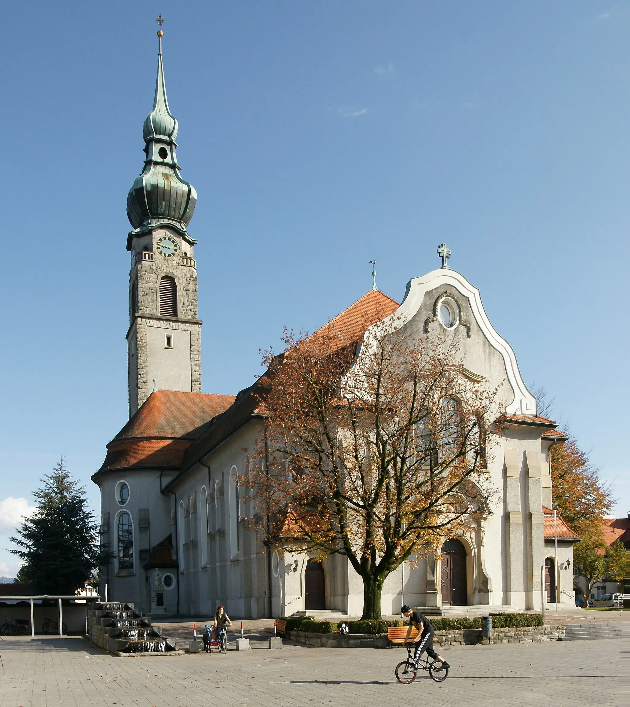
Klidná lokalita s pěknými trasami.
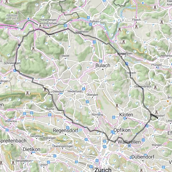
Cyklistické trasy kolem Nurensdorf
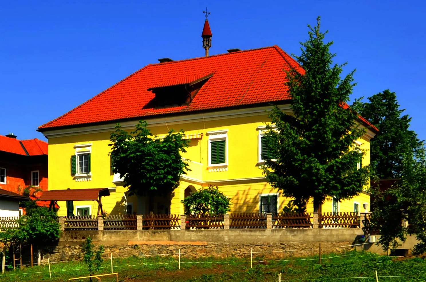
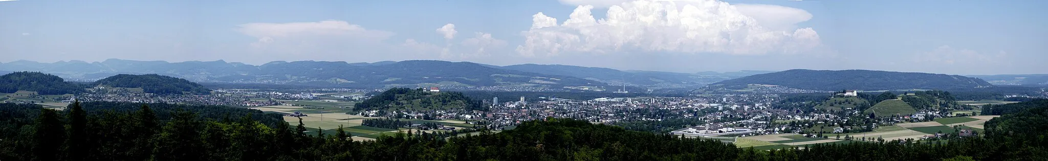
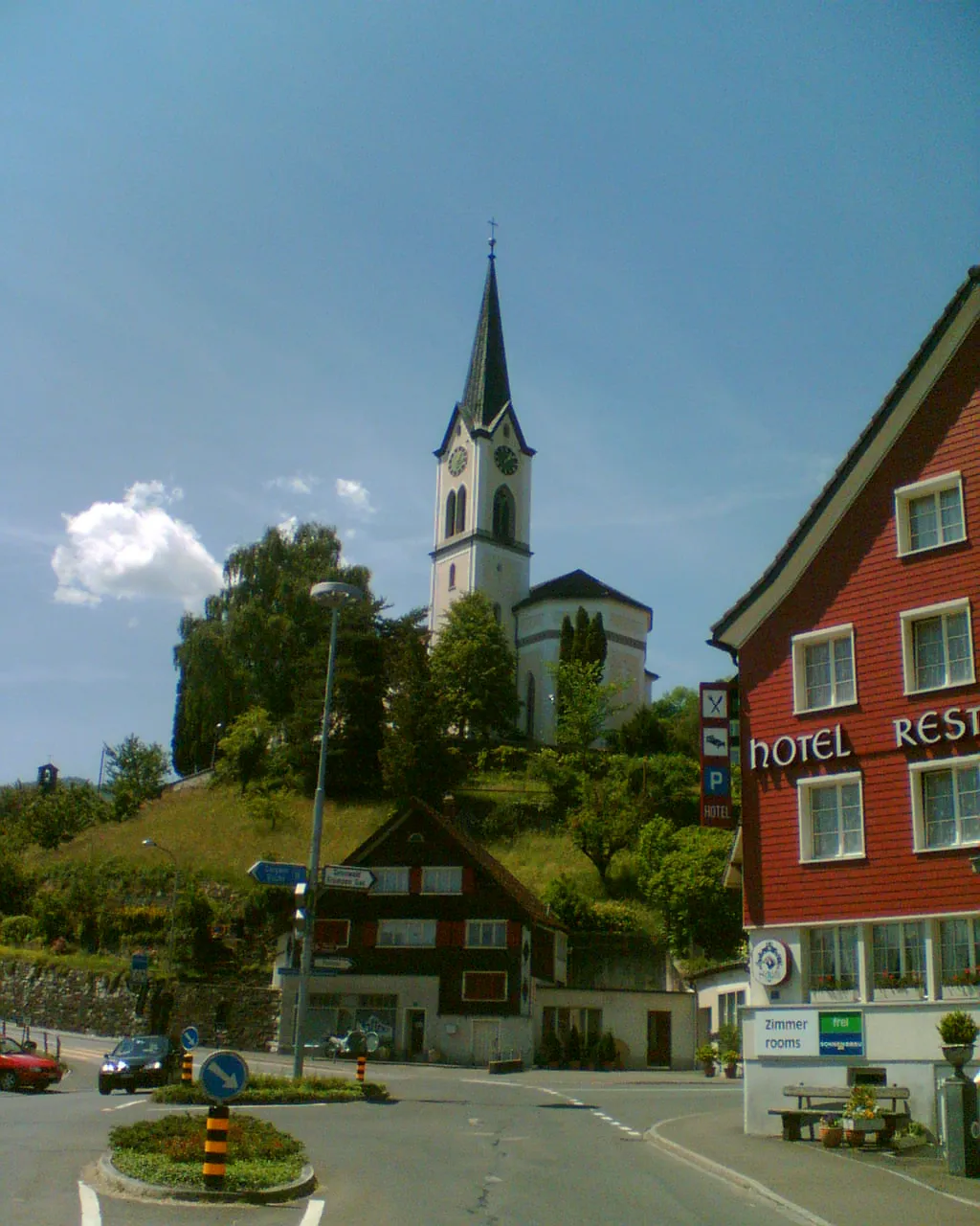
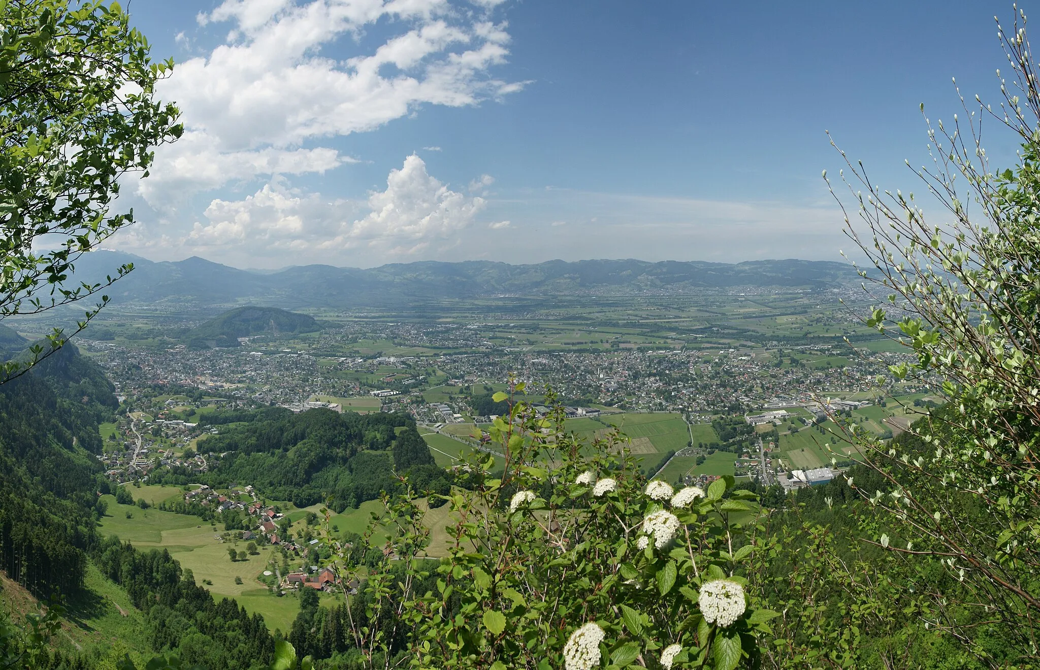
Nürensdorf je malebná lokalita ve Švýcarsku s pěknými cyklistickými trasami a klidnou atmosférou. Ideální pro silniční cyklistiku i gravel, s možností objevovat okolní kopce a lesy. Doporučená trasa zahrnuje okruh kolem vesnic a přírodních rezervací.
Road Cyklotrasa Zürich
![Miniaturní mapa "Road Cyklotrasa Zürich" inspirace pro cyklisty v oblasti Zürich, Switzerland. Vytvořeno pomocí plánovače tras Tarmacs.app](https://images.tarmacs.app/cycling-routes/routemaps/600/switzerland/zurich/nurensdorf/road/196133.webp)
Dlouhá a náročná trasa plná výzev
Tato trasa je skvělou volbou pro cyklisty hledající výzvy a krásné výhledy. S mnoha kopci a zajímavými místy jako Regensberg nebo Belchen je cesta plná historie a přírodní krásy.
![Miniaturní mapa "Rozmanitá cesta kolem Volketswilu" inspirace pro cyklisty v oblasti Zürich, Switzerland. Vytvořeno pomocí plánovače tras Tarmacs.app](https://images.tarmacs.app/cycling-routes/routemaps/600/switzerland/zurich/nurensdorf/gravel/168079.webp)
Příjemná trasa vhodná pro odpočinkovou jízdu
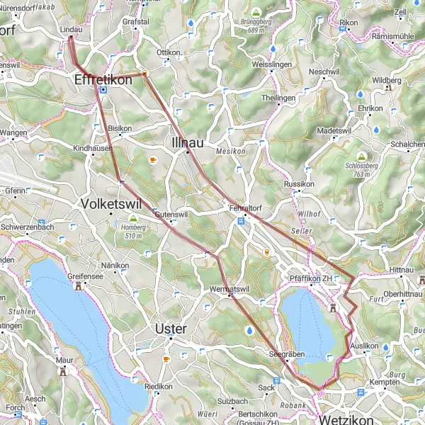
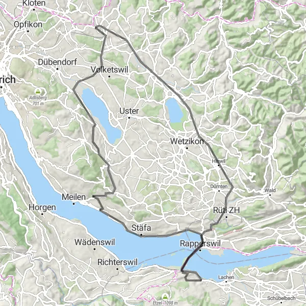
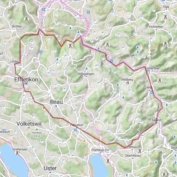
Tato 36km dlouhá cesta vás provede malebnou krajinou okolo Volketswilu a Hackenbergu. Cestou se setkáte s přírodními krásami a historickými památkami. Nezapomeňte si užít klidnou atmosféru Birchenu a tradiční jídla v Pfäffikonu ZH.
![Miniaturní mapa "Road Kolem Nürensdorfu" inspirace pro cyklisty v oblasti Zürich, Switzerland. Vytvořeno pomocí plánovače tras Tarmacs.app](https://images.tarmacs.app/cycling-routes/routemaps/600/switzerland/zurich/nurensdorf/road/196109.webp)
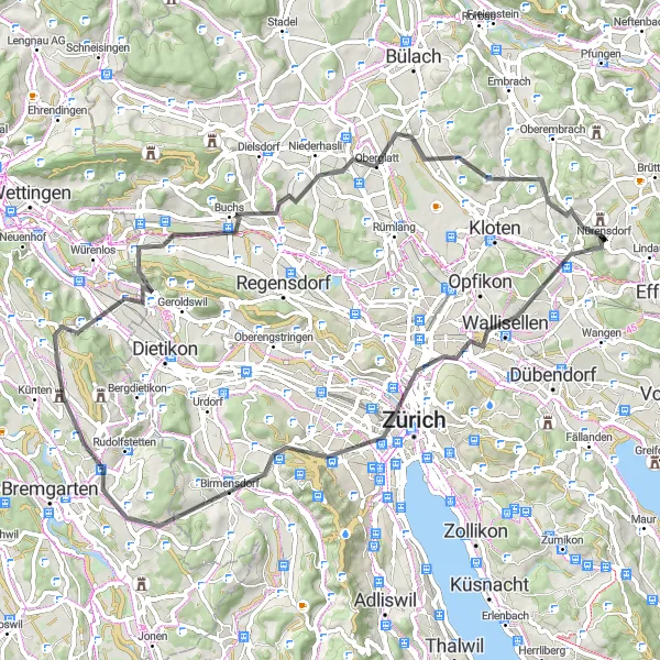
Dlouhá cesta s pohledy na krajinu
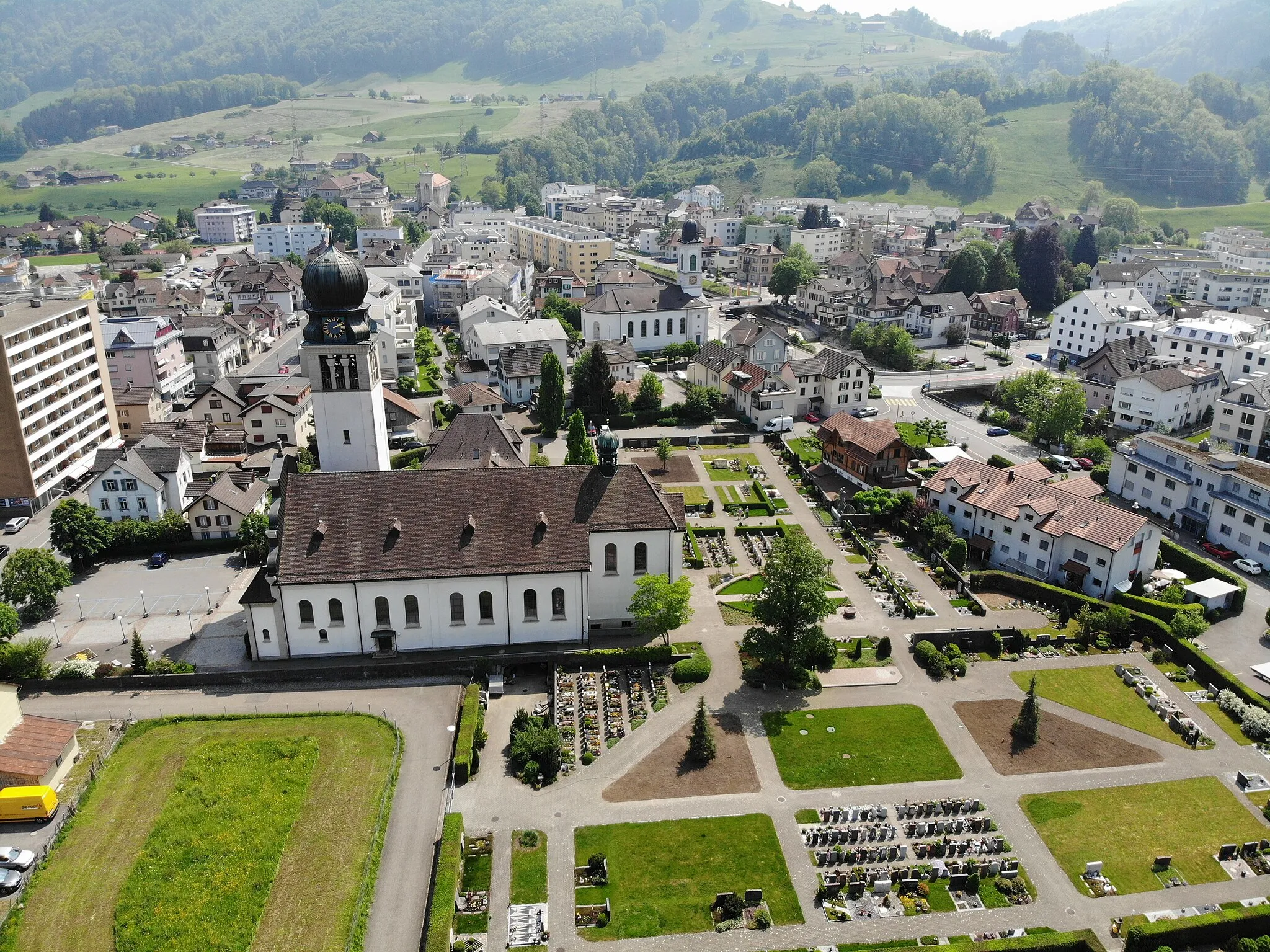
Cyklovýlet kolem Nürensdorfu je skvělým způsobem, jak objevit krásy venkovského Švýcarska. Trasa vede přes různé města a vesnice, nabízející pohledy na historické památky a malebnou krajinu.
![Miniaturní mapa "Gravel Tour to Lattenbuck" inspirace pro cyklisty v oblasti Zürich, Switzerland. Vytvořeno pomocí plánovače tras Tarmacs.app](https://images.tarmacs.app/cycling-routes/routemaps/600/switzerland/zurich/nurensdorf/gravel/168108.webp)
Leisurely gravel ride with scenic vistas
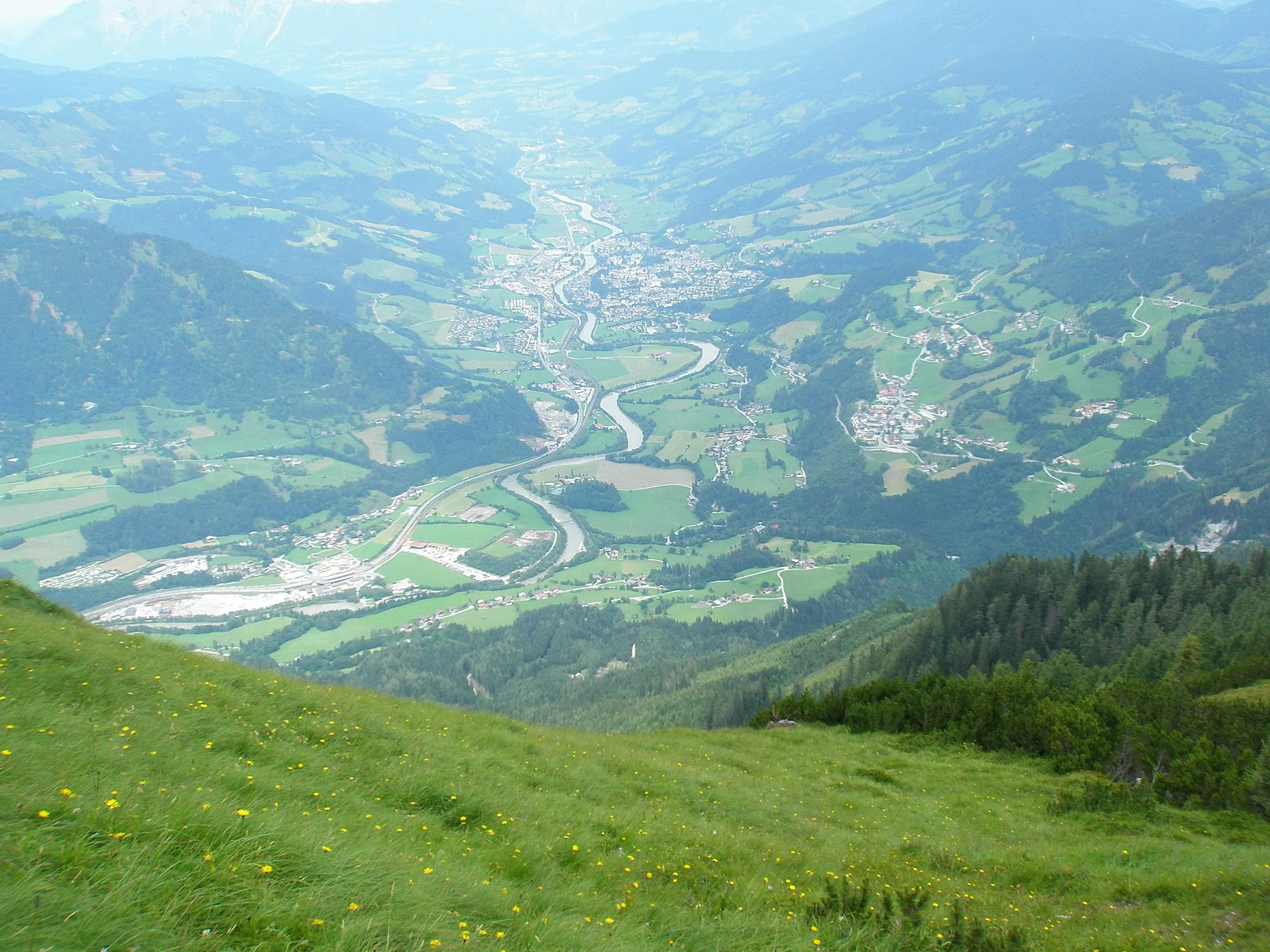
Embark on a 66 km gravel cycling adventure with 829m ascent, passing through Taggenberg, Neftenbach, Marthalen, Humlikon, Wülflingen, Brühlberg, and reaching the endpoint at Lattenbuck. Enjoy the tranquil surroundings and beautiful landscapes along the way.
![Miniaturní mapa "Gravelová dobrodružství kolem Hardwaldu" inspirace pro cyklisty v oblasti Zürich, Switzerland. Vytvořeno pomocí plánovače tras Tarmacs.app](https://images.tarmacs.app/cycling-routes/routemaps/600/switzerland/zurich/nurensdorf/gravel/168105.webp)
Náročná trasa vhodná pro milovníky gravelu
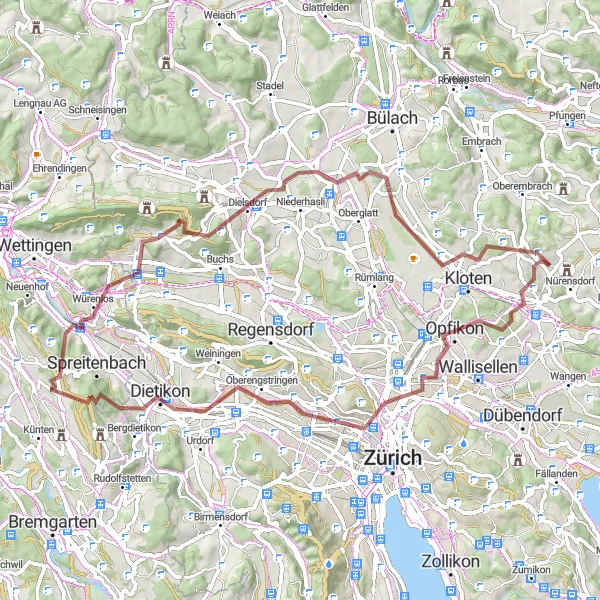
Tato 69km dlouhá trasa nabízí dobrodružství v okolí Hardwaldu s nádhernými výhledy na krajinu. Projedete skrze Chäferberg a Heitersbergpass a ochutnáte místní speciality v Boppelsenu. Nezapomeňte si vychutnat krásné výhledy z Oberäntschberg a Birchwil.
![Miniaturní mapa "Okolí Zürichu - Jezero Pfäffikersee" inspirace pro cyklisty v oblasti Zürich, Switzerland. Vytvořeno pomocí plánovače tras Tarmacs.app](https://images.tarmacs.app/cycling-routes/routemaps/600/switzerland/zurich/nurensdorf/road/168068.webp)
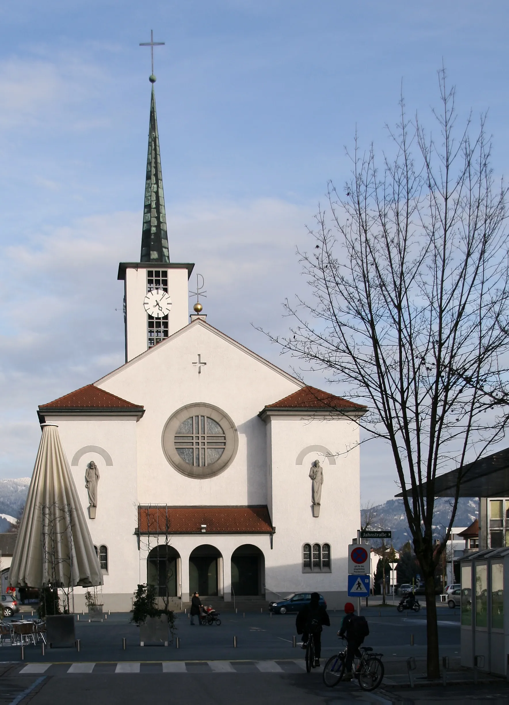
Malebná cesta kolem jezera Pfäffikersee
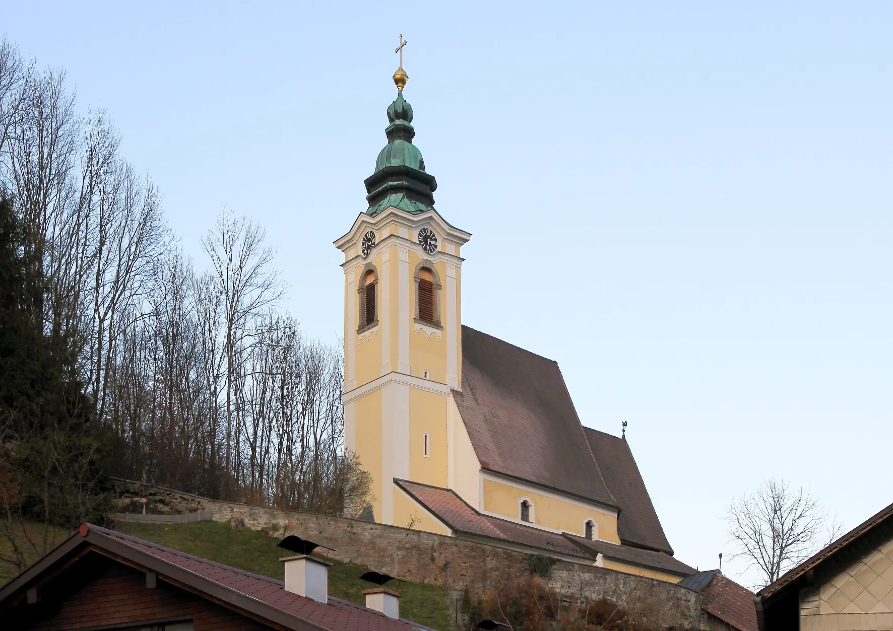
Tento 85km dlouhý výlet nabízí malebné scenérie a historické památky. Projedete okolo Pfäffikonu ZH až k Lindenhofu a Männedorfu. Nezapomeňte si užít krásný výhled z Egg nebo ochutnat tradiční jídla v Schwerzenbach.
![Miniaturní mapa "Krajinná cesta kolem Irchelu" inspirace pro cyklisty v oblasti Zürich, Switzerland. Vytvořeno pomocí plánovače tras Tarmacs.app](https://images.tarmacs.app/cycling-routes/routemaps/600/switzerland/zurich/nurensdorf/road/168067.webp)
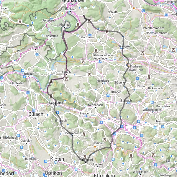
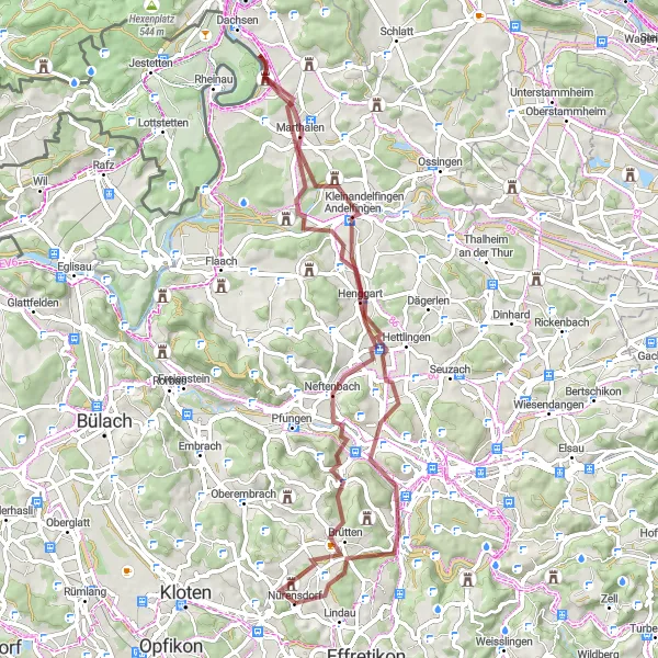
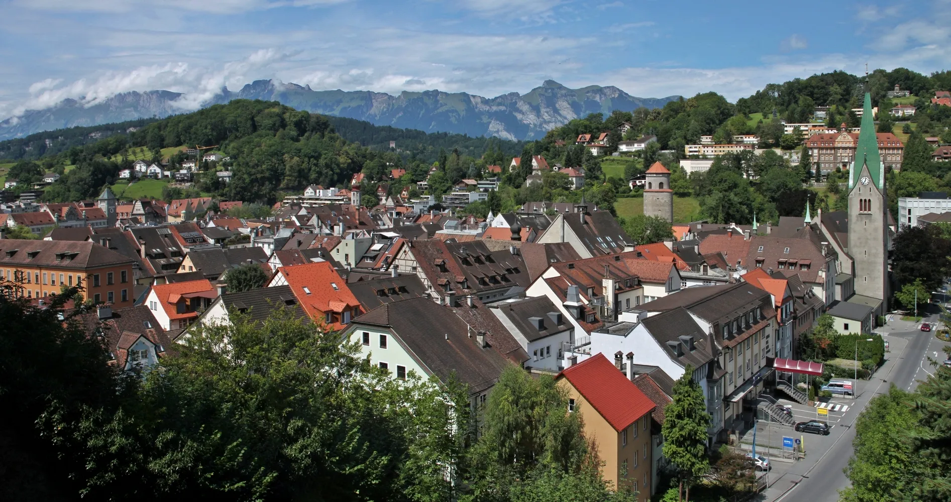
Malebná trasa mezi kopci a vinicemi Irchelu
Tento 68km dlouhý výlet vás provede malebnou krajinou kolem Hombergu a Berg am Irchel. Navštivte historické obce Benken ZH a Seuzach, než dojedete do Brüttenu. Nezapomeňte si užít krásné výhledy z Oberembrachu a HochwachtIrchel.
![Miniaturní mapa "Road Tour to Burgstelle Untere Heidenburg" inspirace pro cyklisty v oblasti Zürich, Switzerland. Vytvořeno pomocí plánovače tras Tarmacs.app](https://images.tarmacs.app/cycling-routes/routemaps/600/switzerland/zurich/nurensdorf/road/168076.webp)
Epic road cycling route with breathtaking climbs
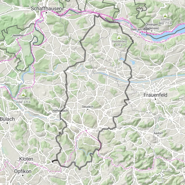
Conquer a 72 km road cycling adventure with 1042m ascent, passing by Wallisellen, Monte Diggelmann, Oberwil, Heitersbergpass, Spreitenbach, Buchs, Oberäntschberg, and culminating at Burgstelle Untere Heidenburg. Enjoy the challenging climbs and rewarding descents along the way.
![Miniaturní mapa "Poutavá cesta kolem Mauru" inspirace pro cyklisty v oblasti Zürich, Switzerland. Vytvořeno pomocí plánovače tras Tarmacs.app](https://images.tarmacs.app/cycling-routes/routemaps/600/switzerland/zurich/nurensdorf/road/168059.webp)
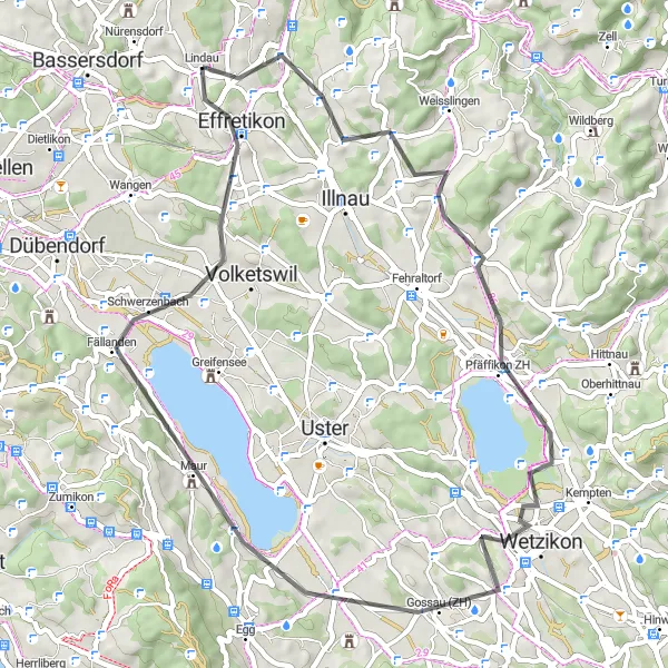
Malebná trasa kolem jezera a vinic Maur
Tento 51km dlouhý výlet vám poskytne pestré zážitky v okolí Mauru a Russikonu. Projedete skrze Juhee a Gossau (ZH) a ochutnáte místní speciality v Schwerzenbach. Nezapomeňte si užít klidnou atmosféru Birchenu a pěkné výhledy z Furtbüelu.
![Miniaturní mapa "Gravel Tour to Lindau" inspirace pro cyklisty v oblasti Zürich, Switzerland. Vytvořeno pomocí plánovače tras Tarmacs.app](https://images.tarmacs.app/cycling-routes/routemaps/600/switzerland/zurich/nurensdorf/gravel/168058.webp)
Exhilarating gravel ride with stunning views
Enjoy a 47 km gravel ride with 581m ascent, passing by highlights such as Loren, Schloss Kyburg, Zimberg, and ending at Lindau. The route offers diverse terrain and beautiful landscapes.
Cyklotrasy v okolí:
![Obrázek Gaißau](https://images.tarmacs.app/cycling-routes/covers/austria/vorarlberg/gaissau-5.webp)
![Obrázek Meiningen](https://images.tarmacs.app/cycling-routes/covers/austria/vorarlberg/meiningen-5.webp)
![Obrázek Koblach](https://images.tarmacs.app/cycling-routes/covers/austria/vorarlberg/koblach-5.webp)
![Obrázek Mäder](https://images.tarmacs.app/cycling-routes/covers/austria/vorarlberg/maeder-3.webp)
![Obrázek Höchst](https://images.tarmacs.app/cycling-routes/covers/austria/vorarlberg/hoechst-4.webp)
![Obrázek Götzis](https://images.tarmacs.app/cycling-routes/covers/austria/vorarlberg/goetzis-4.webp)
![Obrázek Feldkirch](https://images.tarmacs.app/cycling-routes/covers/austria/vorarlberg/feldkirch-5.webp)
![Obrázek Lustenau](https://images.tarmacs.app/cycling-routes/covers/austria/vorarlberg/lustenau-4.webp)
![Obrázek Altach](https://images.tarmacs.app/cycling-routes/covers/austria/vorarlberg/altach-5.webp)
Okolní oblasti:
![Obrázek Kärnten](https://images.tarmacs.app/cycling-routes/covers/austria/karnten/hoertendorf-3.webp)
![Obrázek Oberösterreich](https://images.tarmacs.app/cycling-routes/covers/austria/oberosterreich/attnang-5.webp)
![Obrázek Salzburg](https://images.tarmacs.app/cycling-routes/covers/austria/salzburg/sankt-johann-im-pongau-3.webp)
![Obrázek Tirol](https://images.tarmacs.app/cycling-routes/covers/austria/tirol/muehlau-4.webp)
![Obrázek Vorarlberg](https://images.tarmacs.app/cycling-routes/covers/austria/vorarlberg/bludesch-2.webp)
![Obrázek Espace Mittelland](https://images.tarmacs.app/cycling-routes/covers/switzerland/espace-mittelland/niederbipp-5.webp)
![Obrázek Nordwestschweiz](https://images.tarmacs.app/cycling-routes/covers/switzerland/nordwestschweiz/lenzburg-3.webp)
![Obrázek Ostschweiz](https://images.tarmacs.app/cycling-routes/covers/switzerland/ostschweiz/gams-1.webp)
![Obrázek Zentralschweiz](https://images.tarmacs.app/cycling-routes/covers/switzerland/zentralschweiz/siebnen-4.webp)
![Obrázek Freiburg](https://images.tarmacs.app/cycling-routes/covers/germany/freiburg/schliengen-3.webp)
![Obrázek Tübingen](https://images.tarmacs.app/cycling-routes/covers/germany/tubingen/bad-urach-1.webp)
![Obrázek Schwaben](https://images.tarmacs.app/cycling-routes/covers/germany/schwaben/benningen-5.webp)
![Obrázek Liechtenstein](https://images.tarmacs.app/cycling-routes/covers/liechtenstein/liechtenstein/ruggell-4.webp)