![Cover image](https://images.tarmacs.app/cycling-routes/covers/switzerland/zurich/unterengstringen-5.webp)
Ideální pro cyklisty všech úrovní.
Cyklistické trasy kolem Unterengstringen
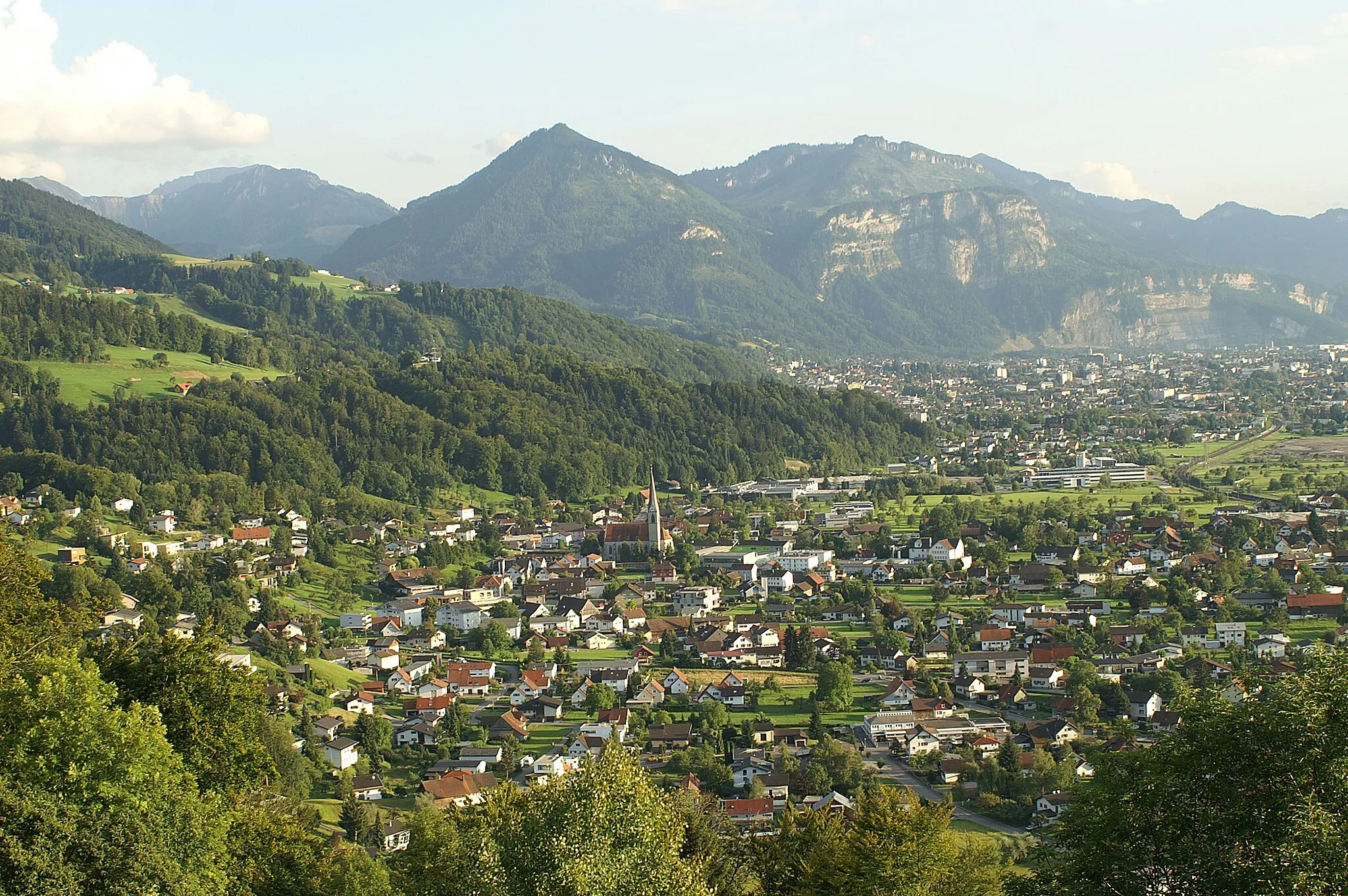
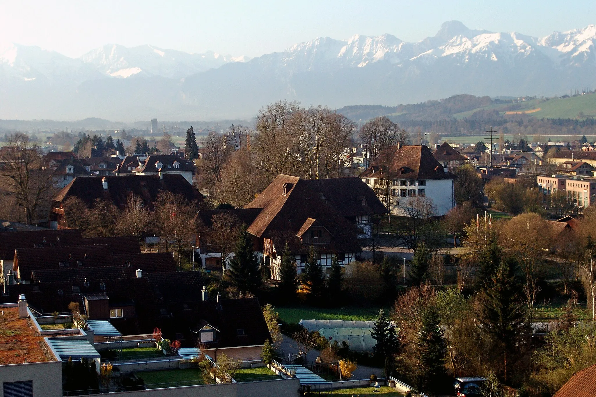
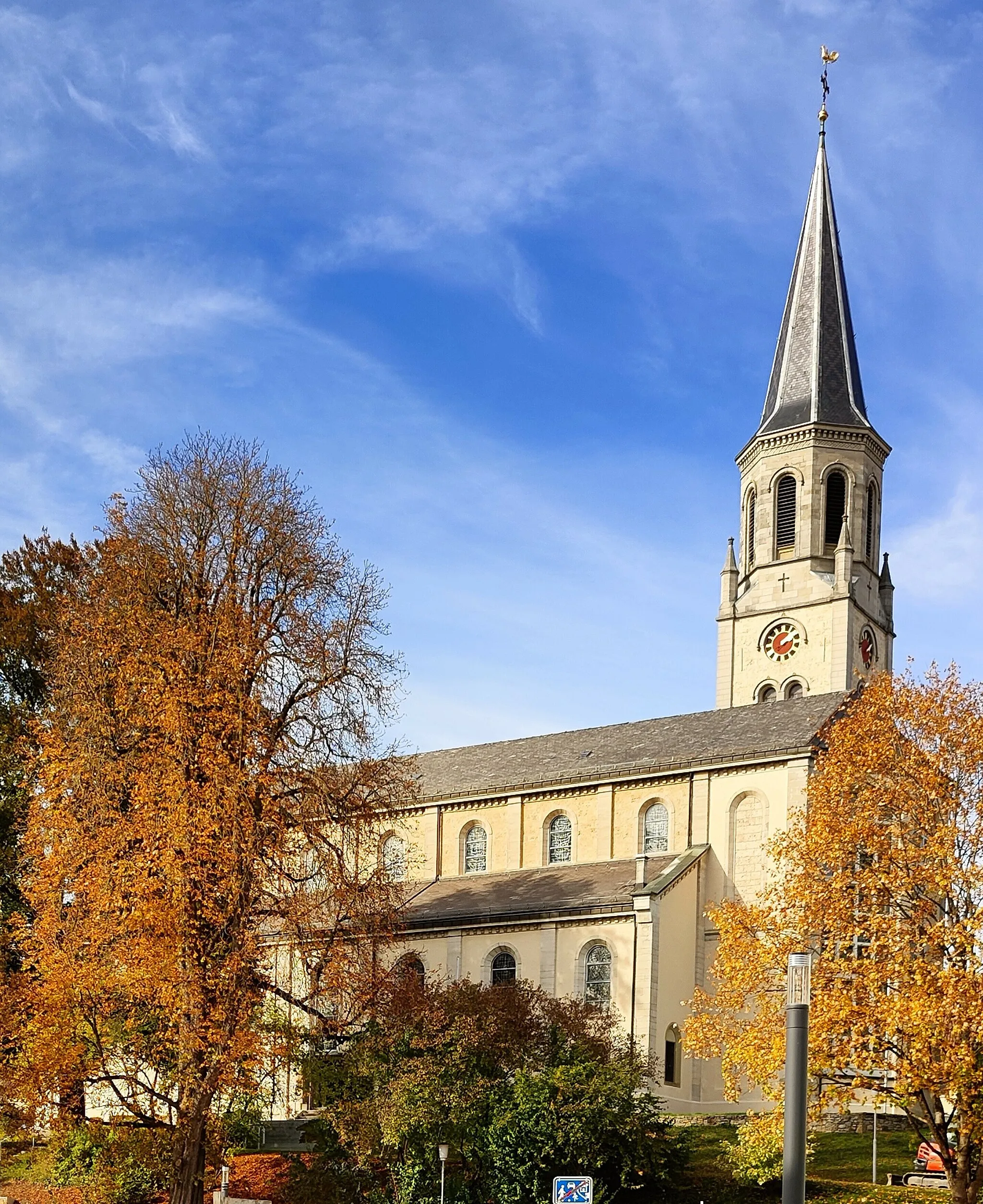
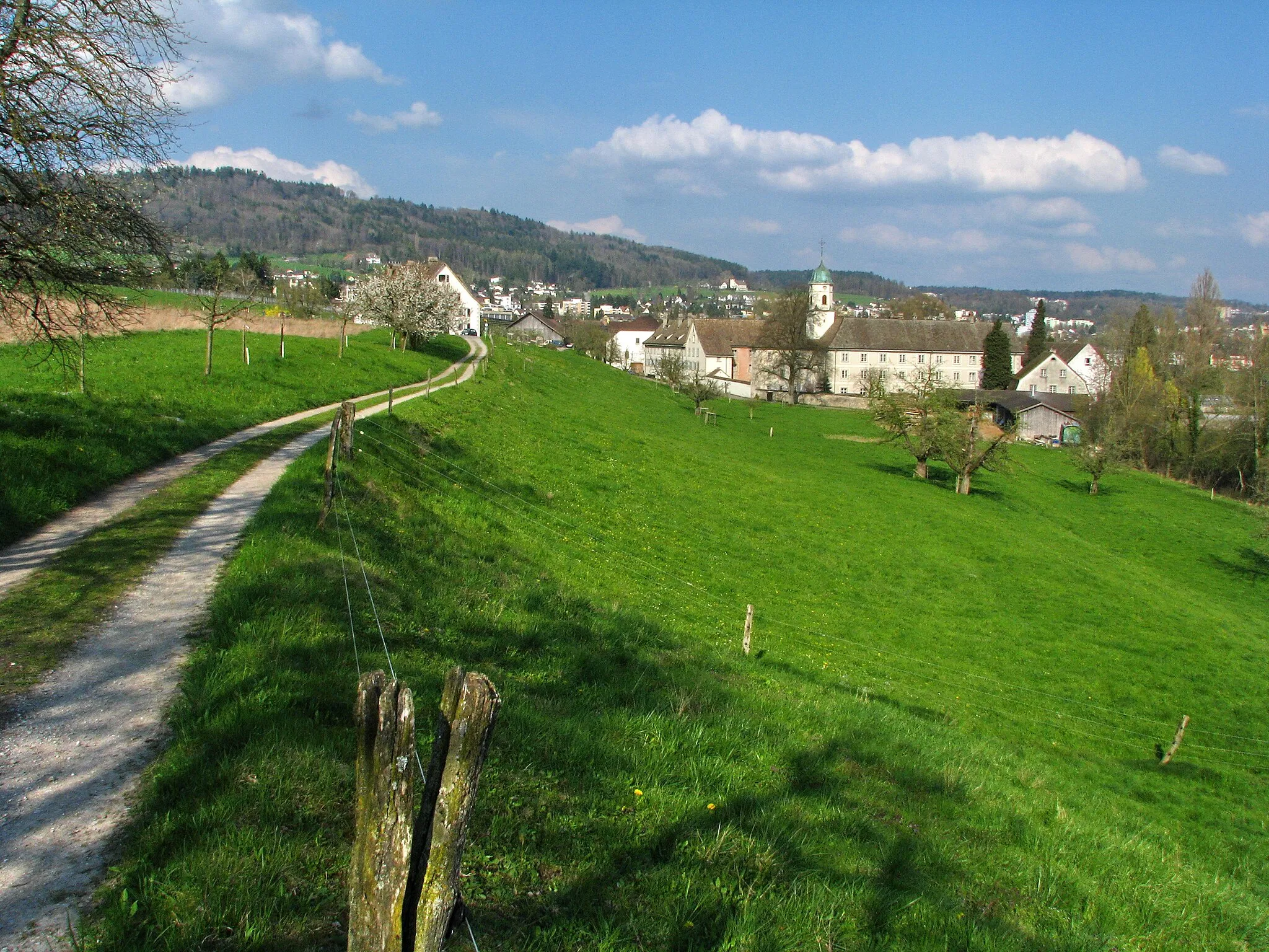
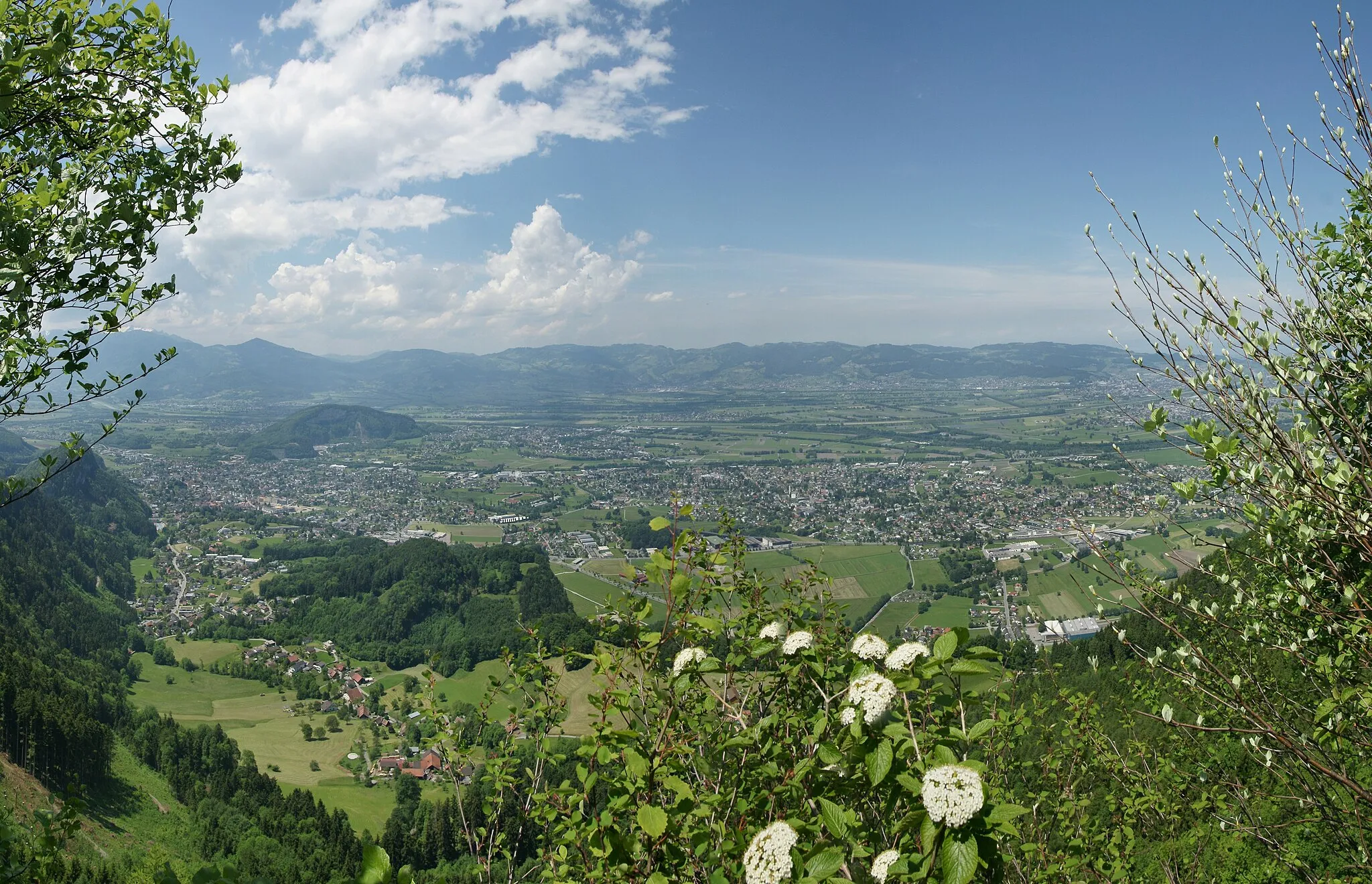
Unterengstringen je ideální lokalitou pro cyklisty nacházející se v kantonu Curych ve Švýcarsku. Okolní kopcovitý terén nabízí výzvy pro cyklisty všech úrovní. Nedaleko se nachází populární cyklistické trasy kolem řeky Limmat a kopce Uetliberg.
![Miniaturní mapa "Road Cycling Adventure Around Zürich" inspirace pro cyklisty v oblasti Zürich, Switzerland. Vytvořeno pomocí plánovače tras Tarmacs.app](https://images.tarmacs.app/cycling-routes/routemaps/600/switzerland/zurich/unterengstringen/road/158763.webp)
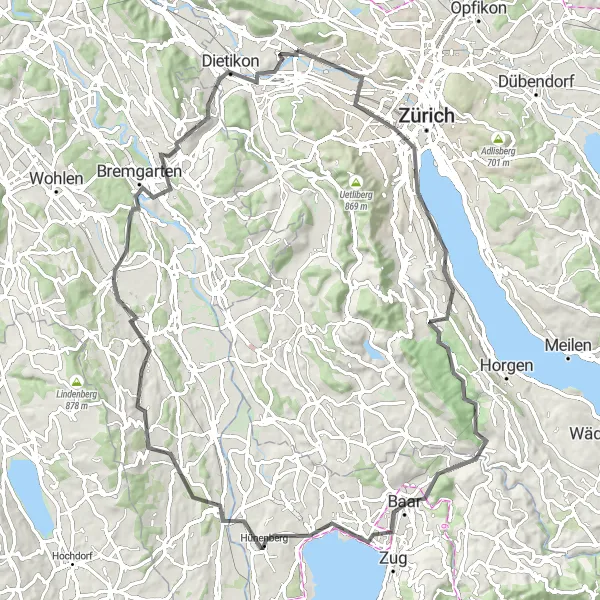
Embark on an exciting road cycling journey around Zürich, Switzerland.
Cycle 88 km with 993 m of ascent, passing by Bürkliplatz, Kilchberg, Baarburg, Baar, Reuss, Sins, Muri, Bremgarten, Mutschellenpass, and Weiningen. This road route offers a mix of urban and scenic landscapes, perfect for road cycling enthusiasts seeking a diverse adventure.
![Miniaturní mapa "Gravel Kolem Zurichského jezera" inspirace pro cyklisty v oblasti Zürich, Switzerland. Vytvořeno pomocí plánovače tras Tarmacs.app](https://images.tarmacs.app/cycling-routes/routemaps/600/switzerland/zurich/unterengstringen/gravel/158707.webp)
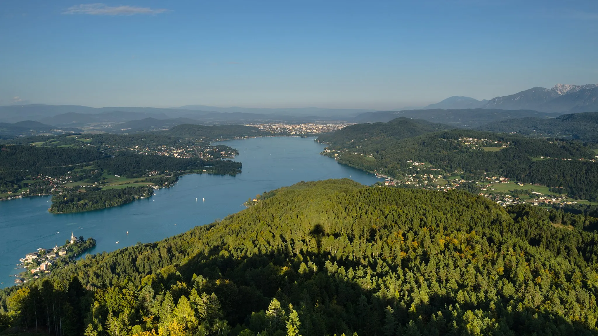
Zážitková cyklostezka kolem jezera s krásnými výhledy
Tato 71 km dlouhá trasa nabízí jedinečné pohledy na jezero a malebná města v okolí. Výlet je náročný s převýšením 1024 m, ale stojí za to. Po cestě ochutnejte místní kuchyni a relaxujte u vody.
![Miniaturní mapa "Gravel Po stopách historie" inspirace pro cyklisty v oblasti Zürich, Switzerland. Vytvořeno pomocí plánovače tras Tarmacs.app](https://images.tarmacs.app/cycling-routes/routemaps/600/switzerland/zurich/unterengstringen/gravel/158704.webp)
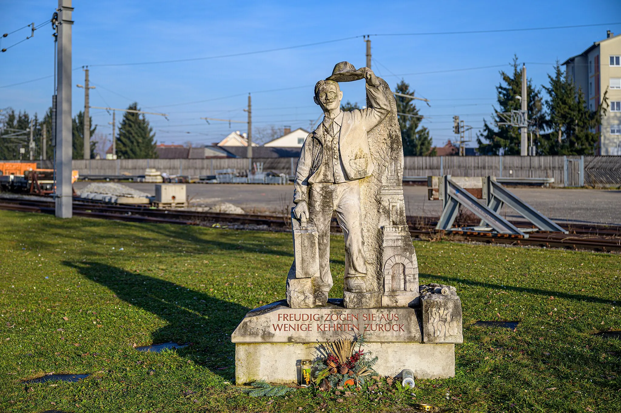
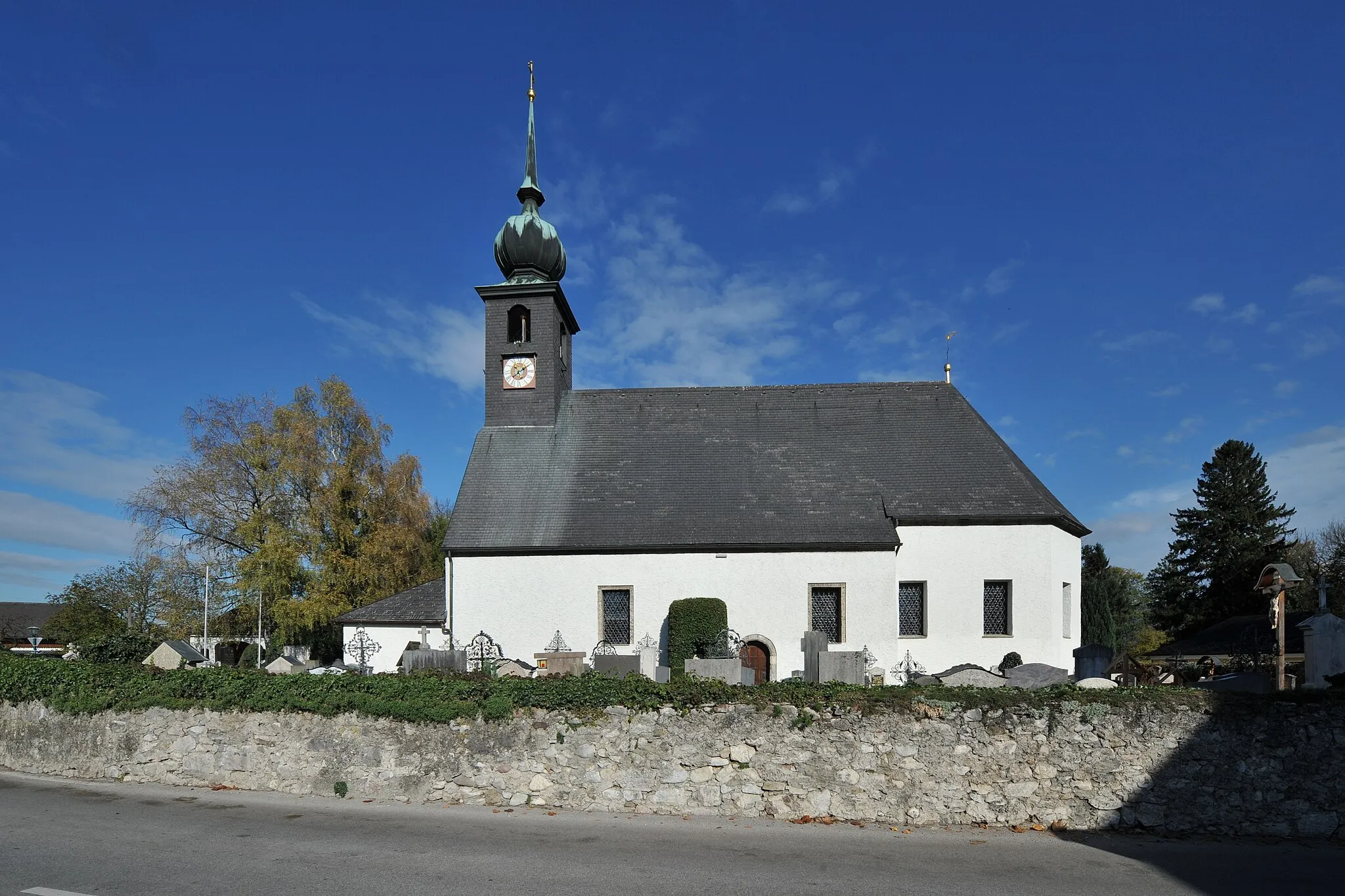
Historická cyklostezka s památkami a kulturou
Tato 58 km dlouhá trasa vás zavede po stopách historických památek a malebných vesnic. S převýšením 863 m se můžete těšit na fascinující památky a krásné výhledy. Objevujte skryté poklady švýcarského venkova a užijte si autentický zážitek.
![Miniaturní mapa "Road Kolem přírodních krás" inspirace pro cyklisty v oblasti Zürich, Switzerland. Vytvořeno pomocí plánovače tras Tarmacs.app](https://images.tarmacs.app/cycling-routes/routemaps/600/switzerland/zurich/unterengstringen/road/158710.webp)
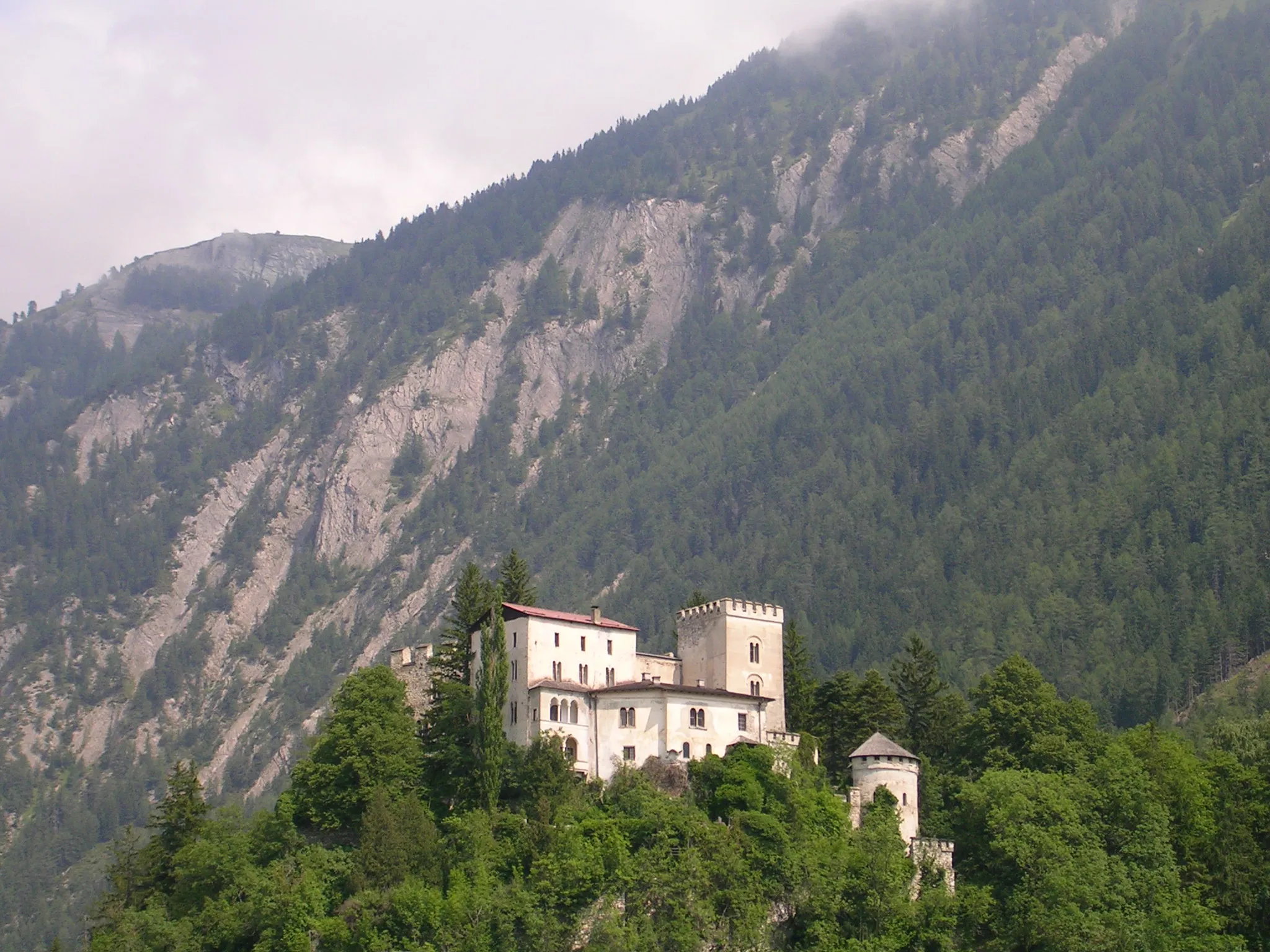
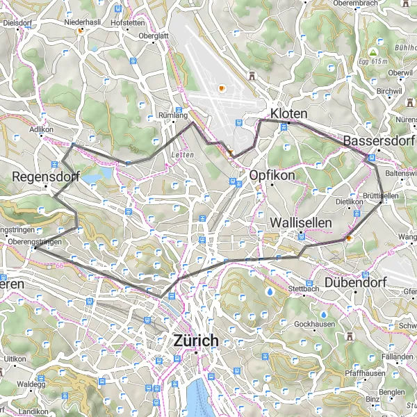
Náročná silniční cyklostezka s pohledy na přírodu
Tato trasa nabízí 60 km plných malebných výhledů a náročného terénu. S převýšením 887 m můžete očekávat úchvatné scenérie a nádhernou přírodu. Kombinace náročného stoupání a sjezdy přináší cyklistům nové výzvy a vzrušení.
![Miniaturní mapa "Road Po kopcích a údolích" inspirace pro cyklisty v oblasti Zürich, Switzerland. Vytvořeno pomocí plánovače tras Tarmacs.app](https://images.tarmacs.app/cycling-routes/routemaps/600/switzerland/zurich/unterengstringen/road/158705.webp)
Náročná silniční cyklostezka s malebnými výhledy
Tato 37 km dlouhá trasa nabízí náročné stoupání a sjezdy s úchvatnými výhledy. S převýšením 319 m si můžete užít malebnou krajinu a klidnou atmosféru. Objevujte nové cesty a vychutnejte si adrenalínové zážitky na silnici.
Zürichské stoupání
![Miniaturní mapa "Zürichské stoupání" inspirace pro cyklisty v oblasti Zürich, Switzerland. Vytvořeno pomocí plánovače tras Tarmacs.app](https://images.tarmacs.app/cycling-routes/routemaps/600/switzerland/zurich/unterengstringen/road/158759.webp)
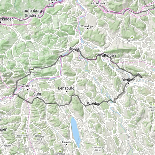
Pokračujte v cyklování touto náročnou trasou plnou zajímavých míst.
Tato 103 km dlouhá cesta nabízí 1435 m stoupání a prochází krásnými městy jako je Bremgarten, Gränichen a Brugg. Trasa vás zavede přes malebné Staffelegg a kolem úchvatného Stutz. Cesta končí v Hasleren po projížďce skrz Wettingen a Sulperg.
![Miniaturní mapa "Gravel Okolo okraje lesa" inspirace pro cyklisty v oblasti Zürich, Switzerland. Vytvořeno pomocí plánovače tras Tarmacs.app](https://images.tarmacs.app/cycling-routes/routemaps/600/switzerland/zurich/unterengstringen/gravel/158706.webp)
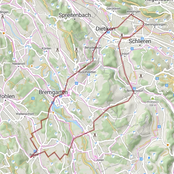
Přírodní cyklostezka s malebnými lesy a poli
46 km dlouhá trasa nabízí klidné cyklování okolo lesů a polí. S převýšením 698 m můžete očekávat nádherné pohledy na okolní krajinu. Užijte si odpočinkový den v přírodě a objevujte krásy švýcarské krajiny.
![Miniaturní mapa "Gravel Adventure Around Unterengstringen" inspirace pro cyklisty v oblasti Zürich, Switzerland. Vytvořeno pomocí plánovače tras Tarmacs.app](https://images.tarmacs.app/cycling-routes/routemaps/600/switzerland/zurich/unterengstringen/gravel/158709.webp)
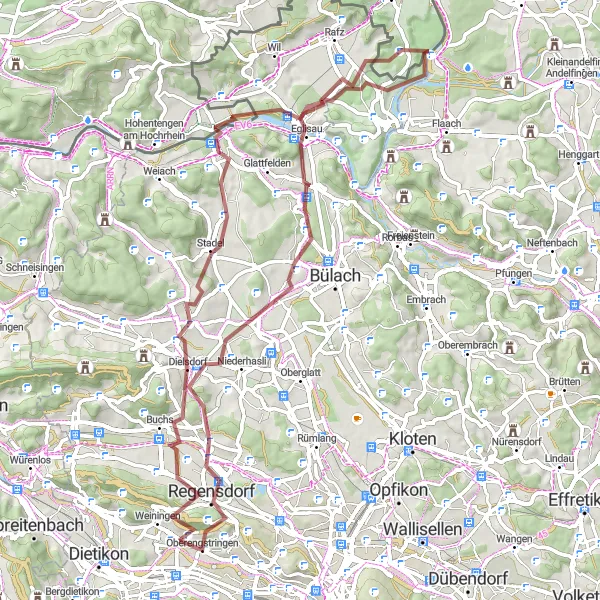
Embark on an exciting gravel adventure around Unterengstringen, Switzerland.
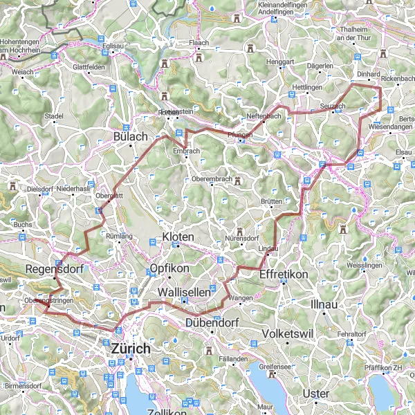
Take on an 84 km gravel adventure with 1115 m of ascent, passing through Gubrist, Regensdorf, Dättenberg, Embrach, Neftenbach, Lindberg, Winterthur, Föhrlibuck, Wallisellen, Chäferberg, and Höngg. This route offers a mix of challenging gravel paths, picturesque landscapes, and charming villages, making it ideal for gravel bike enthusiasts looking for a memorable adventure in Switzerland.
![Miniaturní mapa "Gravel Bike Tour Through the Swiss Countryside" inspirace pro cyklisty v oblasti Zürich, Switzerland. Vytvořeno pomocí plánovače tras Tarmacs.app](https://images.tarmacs.app/cycling-routes/routemaps/600/switzerland/zurich/unterengstringen/gravel/158717.webp)
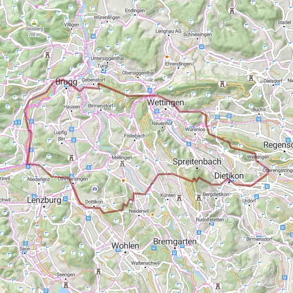
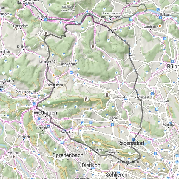
Explore the picturesque landscapes of Switzerland on this challenging gravel route.
Enjoy a 67 km gravel ride with 1192 m of ascent, passing through Dietikon, Heitersbergpass, Dreihägen, Möriken, Brugg, Gebenstorfer Horn, Wettingen, Sulperg, Hüttikon, and Altberg. The route offers stunning views of the Swiss countryside and is perfect for gravel bike enthusiasts looking for a challenging adventure.
![Miniaturní mapa "Road Cycling Challenge Through the Swiss Countryside" inspirace pro cyklisty v oblasti Zürich, Switzerland. Vytvořeno pomocí plánovače tras Tarmacs.app](https://images.tarmacs.app/cycling-routes/routemaps/600/switzerland/zurich/unterengstringen/road/158754.webp)
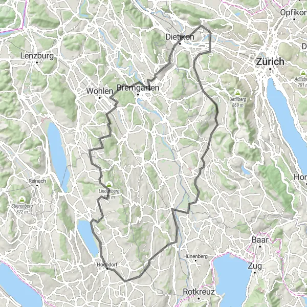
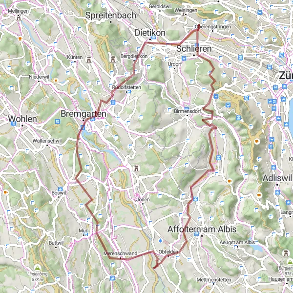
Conquer the Swiss countryside on this challenging road cycling route.
Take on a 93 km road cycling challenge with 1251 m of ascent, passing through Schlieren, Whiskypass, Maschwanden, Sins, Flutmulde, Lindenberg, Bettwil, Bremgarten, Mutschellenpass, and Weiningen. This route offers a mix of climbs and descents, perfect for road cyclists looking for a challenging adventure in the Swiss countryside.
Cyklotrasy v okolí:
![Obrázek Meiningen](https://images.tarmacs.app/cycling-routes/covers/austria/vorarlberg/meiningen-5.webp)
![Obrázek Gaißau](https://images.tarmacs.app/cycling-routes/covers/austria/vorarlberg/gaissau-5.webp)
![Obrázek Koblach](https://images.tarmacs.app/cycling-routes/covers/austria/vorarlberg/koblach-5.webp)
![Obrázek Mäder](https://images.tarmacs.app/cycling-routes/covers/austria/vorarlberg/maeder-3.webp)
![Obrázek Feldkirch](https://images.tarmacs.app/cycling-routes/covers/austria/vorarlberg/feldkirch-5.webp)
![Obrázek Götzis](https://images.tarmacs.app/cycling-routes/covers/austria/vorarlberg/goetzis-4.webp)
![Obrázek Höchst](https://images.tarmacs.app/cycling-routes/covers/austria/vorarlberg/hoechst-4.webp)
![Obrázek Altach](https://images.tarmacs.app/cycling-routes/covers/austria/vorarlberg/altach-5.webp)
![Obrázek Lustenau](https://images.tarmacs.app/cycling-routes/covers/austria/vorarlberg/lustenau-4.webp)
Okolní oblasti:
![Obrázek Kärnten](https://images.tarmacs.app/cycling-routes/covers/austria/karnten/villacher-vorstadt-5.webp)
![Obrázek Oberösterreich](https://images.tarmacs.app/cycling-routes/covers/austria/oberosterreich/sankt-dionysen-4.webp)
![Obrázek Salzburg](https://images.tarmacs.app/cycling-routes/covers/austria/salzburg/niederalm-2.webp)
![Obrázek Tirol](https://images.tarmacs.app/cycling-routes/covers/austria/tirol/matrei-in-osttirol-5.webp)
![Obrázek Vorarlberg](https://images.tarmacs.app/cycling-routes/covers/austria/vorarlberg/schwarzach-4.webp)
![Obrázek Espace Mittelland](https://images.tarmacs.app/cycling-routes/covers/switzerland/espace-mittelland/munsingen-1.webp)
![Obrázek Nordwestschweiz](https://images.tarmacs.app/cycling-routes/covers/switzerland/nordwestschweiz/diegten-4.webp)
![Obrázek Ostschweiz](https://images.tarmacs.app/cycling-routes/covers/switzerland/ostschweiz/gachnang-4.webp)
![Obrázek Zentralschweiz](https://images.tarmacs.app/cycling-routes/covers/switzerland/zentralschweiz/knutwil-2.webp)
![Obrázek Freiburg](https://images.tarmacs.app/cycling-routes/covers/germany/freiburg/deisslingen-3.webp)
![Obrázek Tübingen](https://images.tarmacs.app/cycling-routes/covers/germany/tubingen/niederwangen-4.webp)
![Obrázek Schwaben](https://images.tarmacs.app/cycling-routes/covers/germany/schwaben/mering-3.webp)
![Obrázek Liechtenstein](https://images.tarmacs.app/cycling-routes/covers/liechtenstein/liechtenstein/eschen-3.webp)