![Cover image](https://images.tarmacs.app/cycling-routes/covers/switzerland/zurich/zuerich-kreis-7-hirslanden-5.webp)
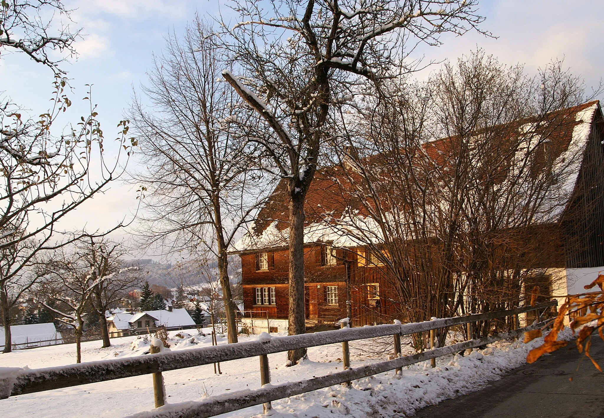
Malebné cesty podél jezera a vinic ve Zürichu.
Cyklistické trasy kolem Zuerich (Kreis 7) / Hirslanden
Zürich (Kreis 7) / Hirslanden nabízí cyklistům malebné cesty podél jezera a okolních vinic. Můžete se tady vydat na klidnou vyjížďku nebo si zatrénovat na náročnějších úsecích v okolním kopcovitém terénu.
![Miniaturní mapa "Cesta po silnici kolem Zürichu" inspirace pro cyklisty v oblasti Zürich, Switzerland. Vytvořeno pomocí plánovače tras Tarmacs.app](https://images.tarmacs.app/cycling-routes/routemaps/600/switzerland/zurich/zuerich-kreis-7-hirslanden/road/358099.webp)
Náročná trasa pro zkušené cyklisty
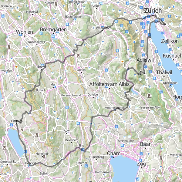
Tato 97 km dlouhá cesta nabízí výhledy na místa jako Quaibrücke, Wollishofen a Unterlunkhofen. S převýšením 1719 m je to výzva pro zkušené cyklisty, kteří se nebojí náročných okamžiků.
![Miniaturní mapa "Scenic Gravel Ride to Loorenkopf" inspirace pro cyklisty v oblasti Zürich, Switzerland. Vytvořeno pomocí plánovače tras Tarmacs.app](https://images.tarmacs.app/cycling-routes/routemaps/600/switzerland/zurich/zuerich-kreis-7-hirslanden/gravel/358092.webp)
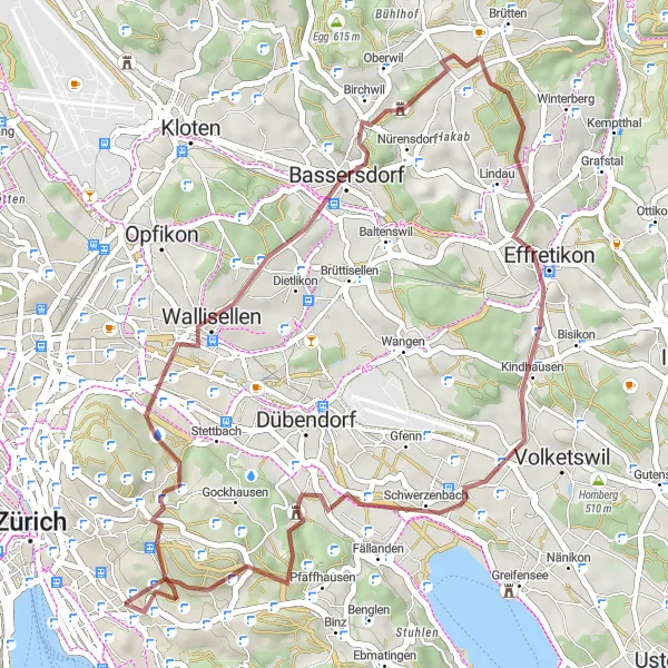
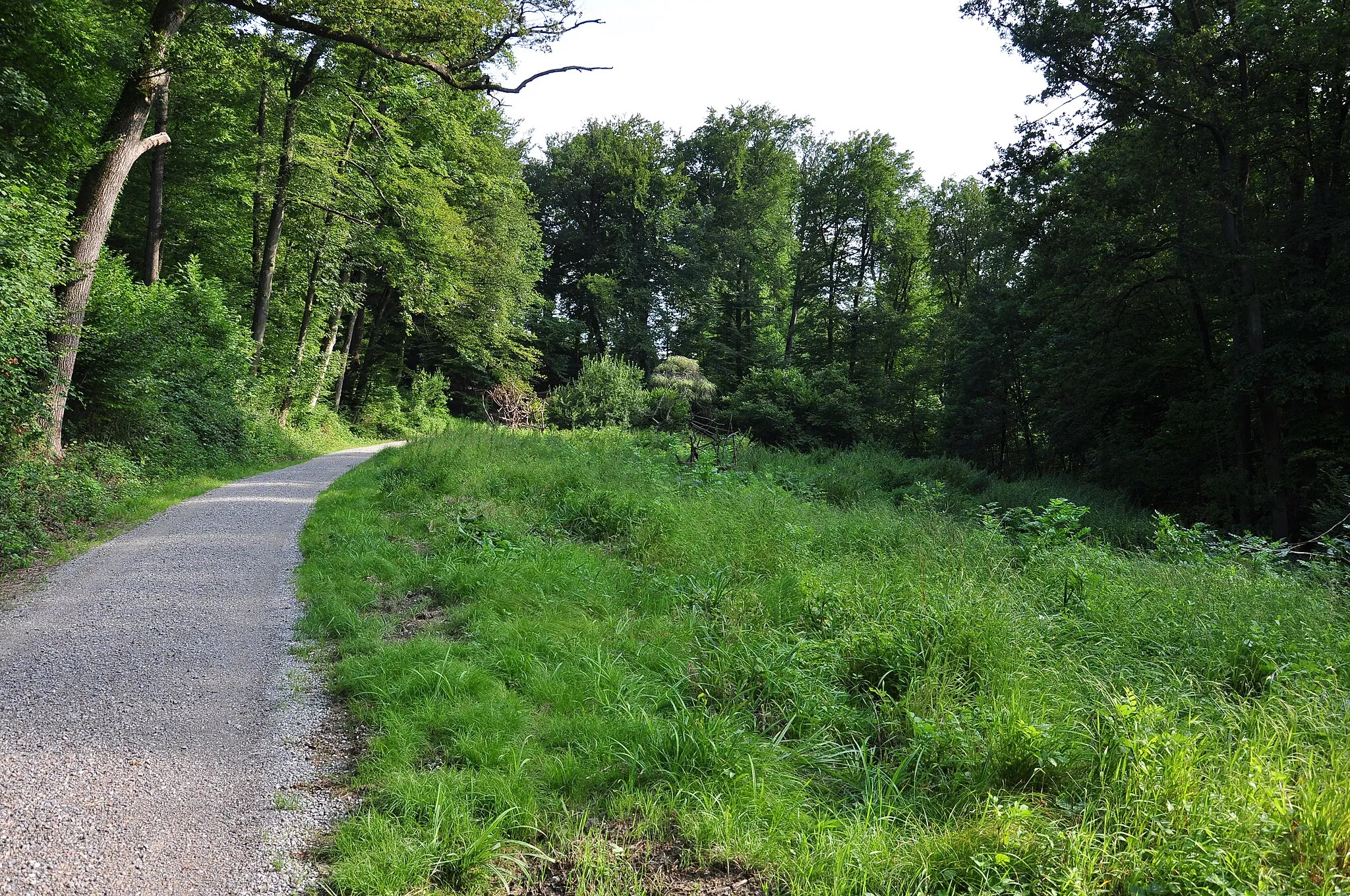
Immerse yourself in nature on this 40 km gravel adventure
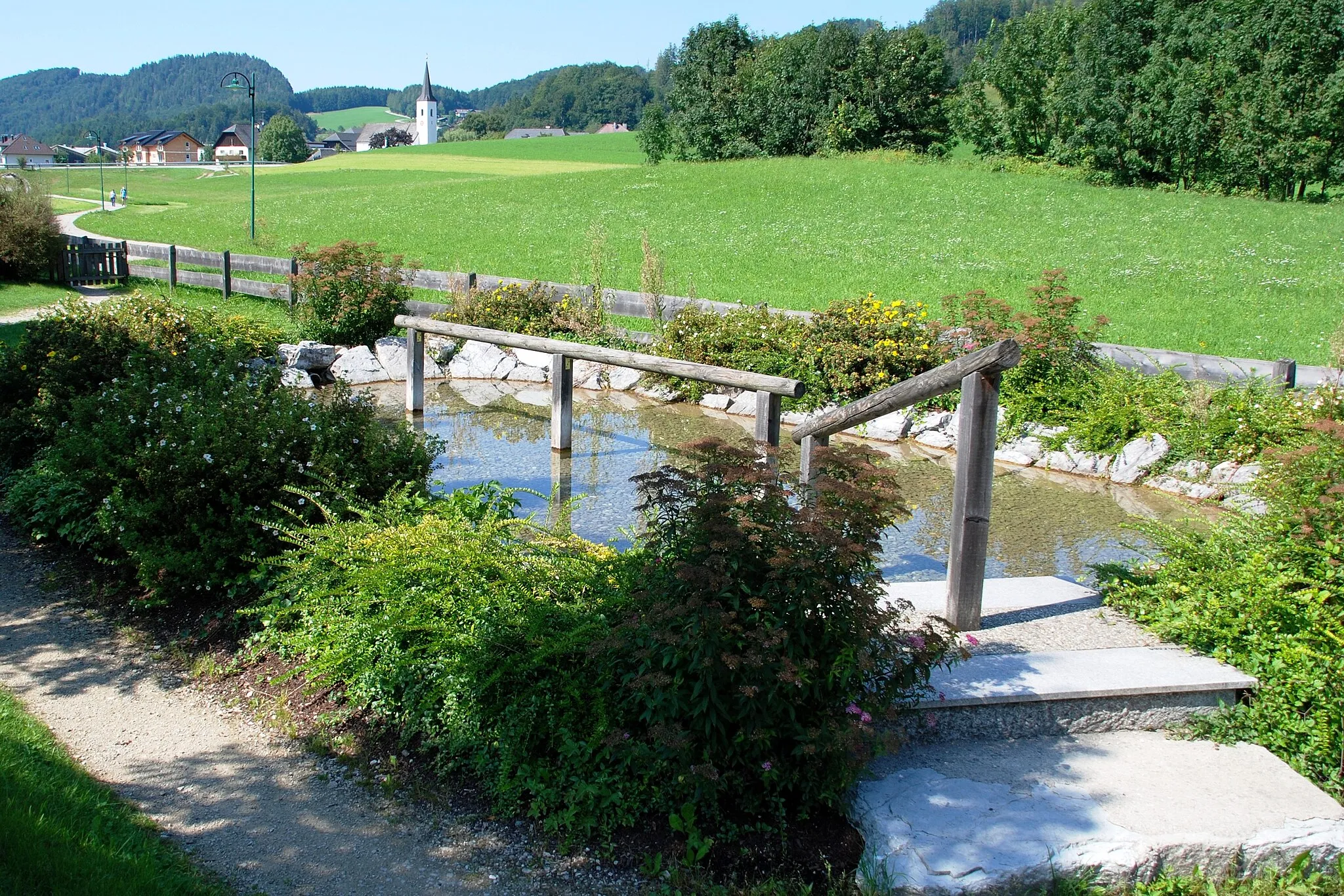
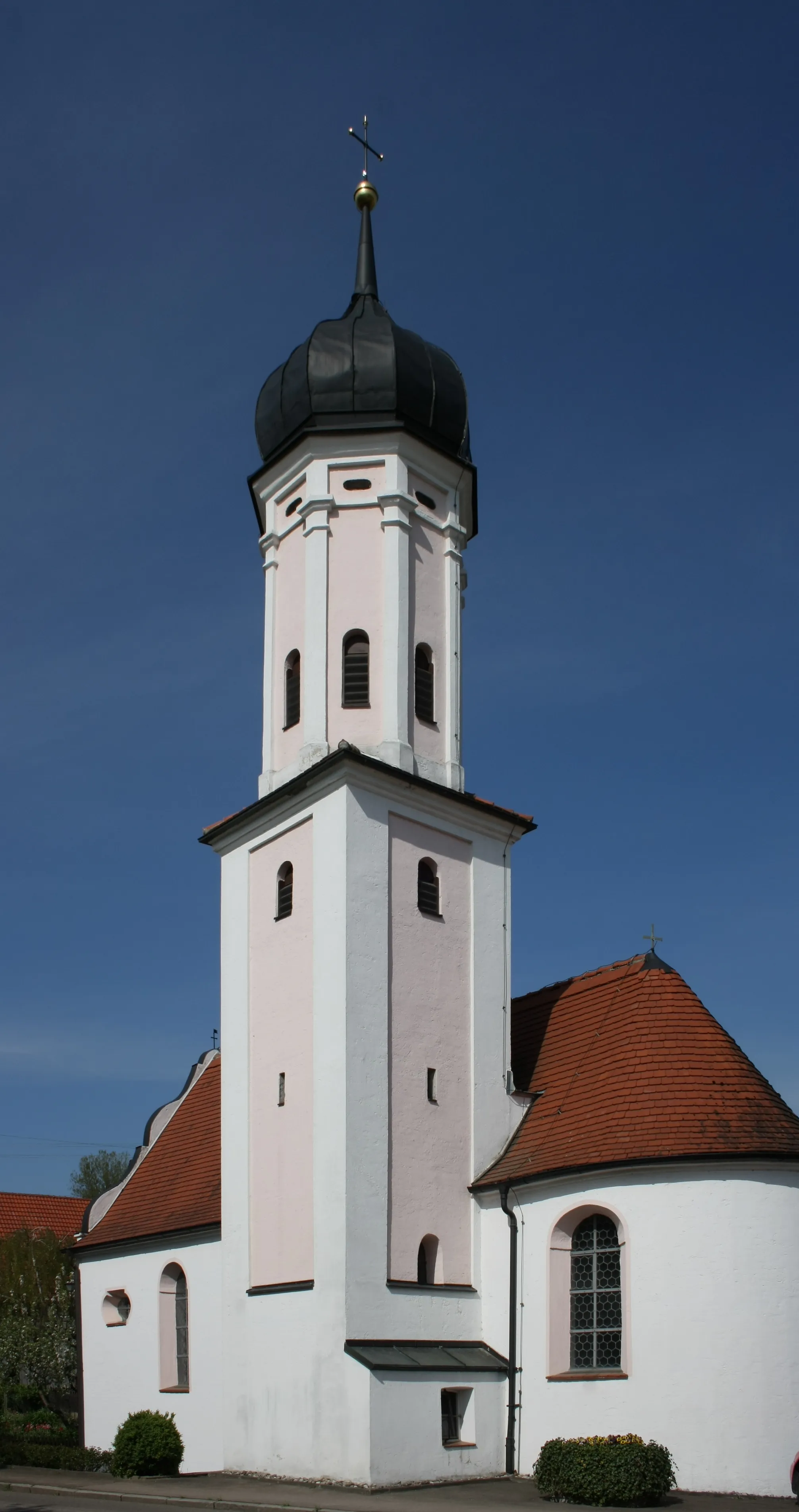
Enjoy a shorter but equally rewarding gravel ride with 714 m of ascent. Discover the Safaribus, the historic Alte Sagi, and the peaceful Loorenkopf Turm with stunning views over the surroundings.
Whiskypass Adventure
![Miniaturní mapa "Whiskypass Adventure" inspirace pro cyklisty v oblasti Zürich, Switzerland. Vytvořeno pomocí plánovače tras Tarmacs.app](https://images.tarmacs.app/cycling-routes/routemaps/600/switzerland/zurich/zuerich-kreis-7-hirslanden/gravel/358080.webp)
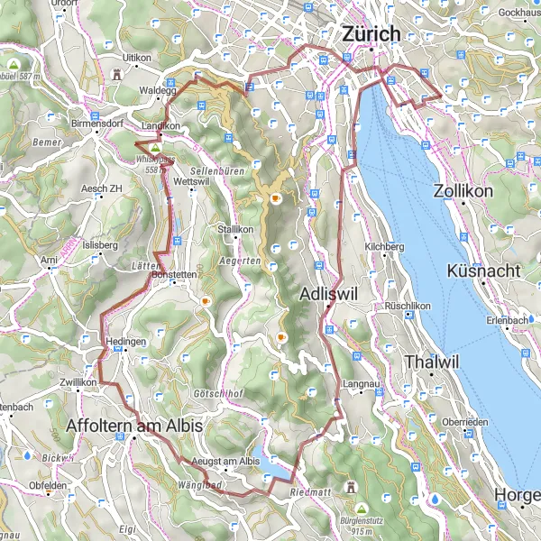
Embark on a thrilling gravel journey to Wängibad and beyond
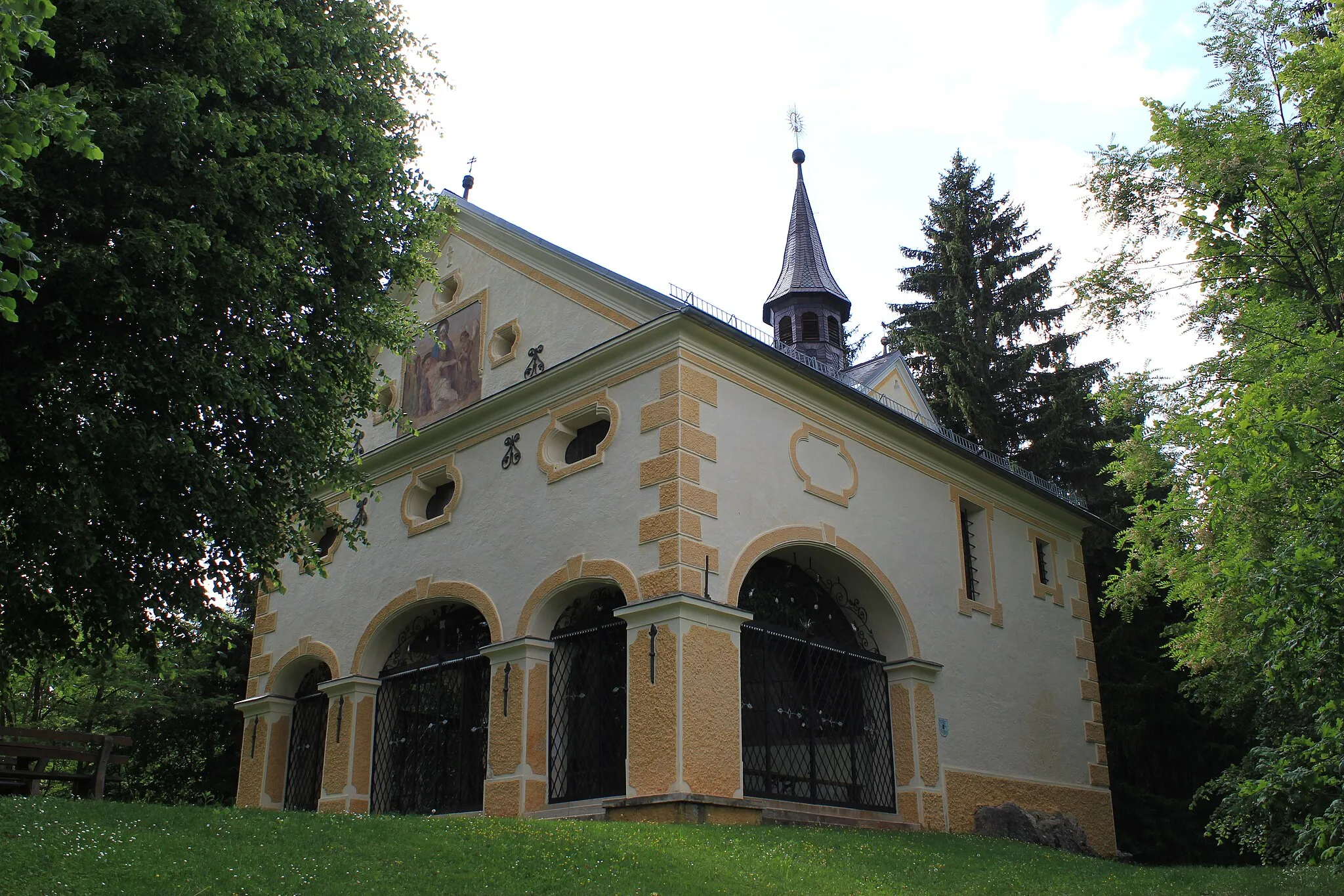
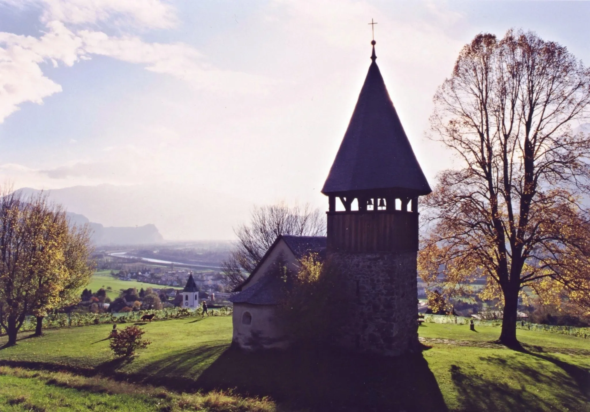
Experience an exciting 47 km gravel ride with 826 m of ascent. Highlights include the picturesque Quaibrücke, the charming village of Landikon, and the historic Karlsturm tower with its fascinating history.
![Miniaturní mapa "Gravel Tour to Lindenberg" inspirace pro cyklisty v oblasti Zürich, Switzerland. Vytvořeno pomocí plánovače tras Tarmacs.app](https://images.tarmacs.app/cycling-routes/routemaps/600/switzerland/zurich/zuerich-kreis-7-hirslanden/gravel/358098.webp)
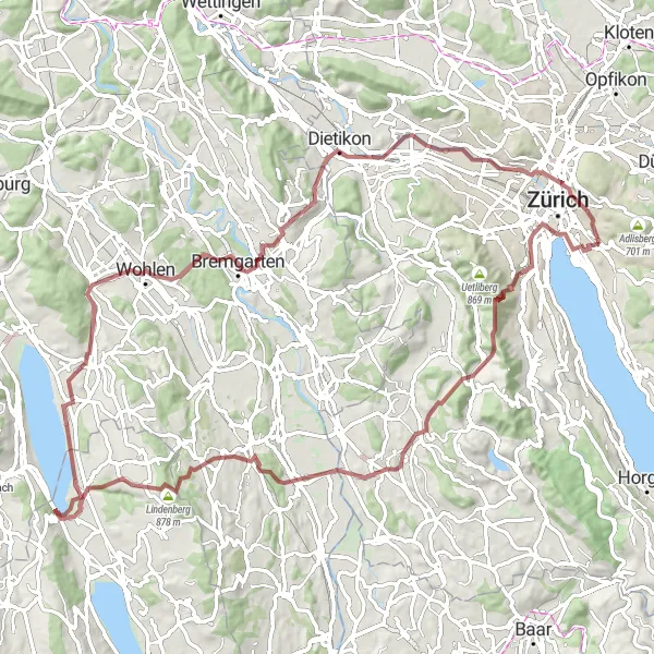
Discover picturesque landscapes and charming villages on this gravel tour
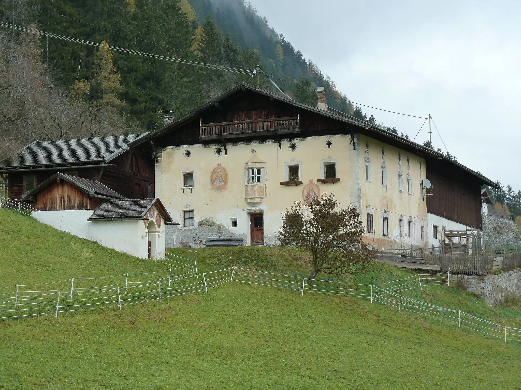
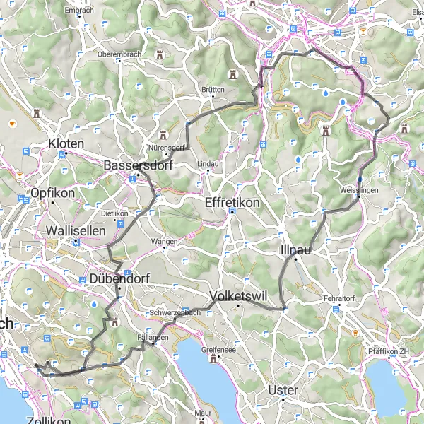
Explore the beautiful countryside around Zürich on a challenging 92 km gravel route with 1702 m of ascent. Highlights include the historic Quaibrücke, scenic Fallätsche Buch, and the quaint village of Lindenberg.
![Miniaturní mapa "Gravel trasa okolo Zürichu" inspirace pro cyklisty v oblasti Zürich, Switzerland. Vytvořeno pomocí plánovače tras Tarmacs.app](https://images.tarmacs.app/cycling-routes/routemaps/600/switzerland/zurich/zuerich-kreis-7-hirslanden/gravel/358084.webp)
Zajímavá cesta plná historických památek
Tato 62 km dlouhá trasa vám přinese pohledy na místa jako Quaibrücke, Sihlbrugg a Kirche Enge. S převýšením 1202 m je to skvělá volba pro cyklisty, kteří hledají dobrodružství.
![Miniaturní mapa "Cyklistická trasa Loorenkopf Turm - Hirslanden" inspirace pro cyklisty v oblasti Zürich, Switzerland. Vytvořeno pomocí plánovače tras Tarmacs.app](https://images.tarmacs.app/cycling-routes/routemaps/600/switzerland/zurich/zuerich-kreis-7-hirslanden/road/358094.webp)
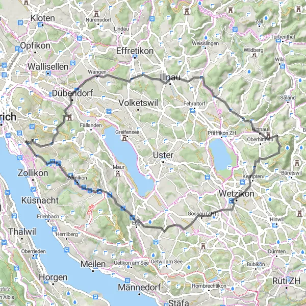
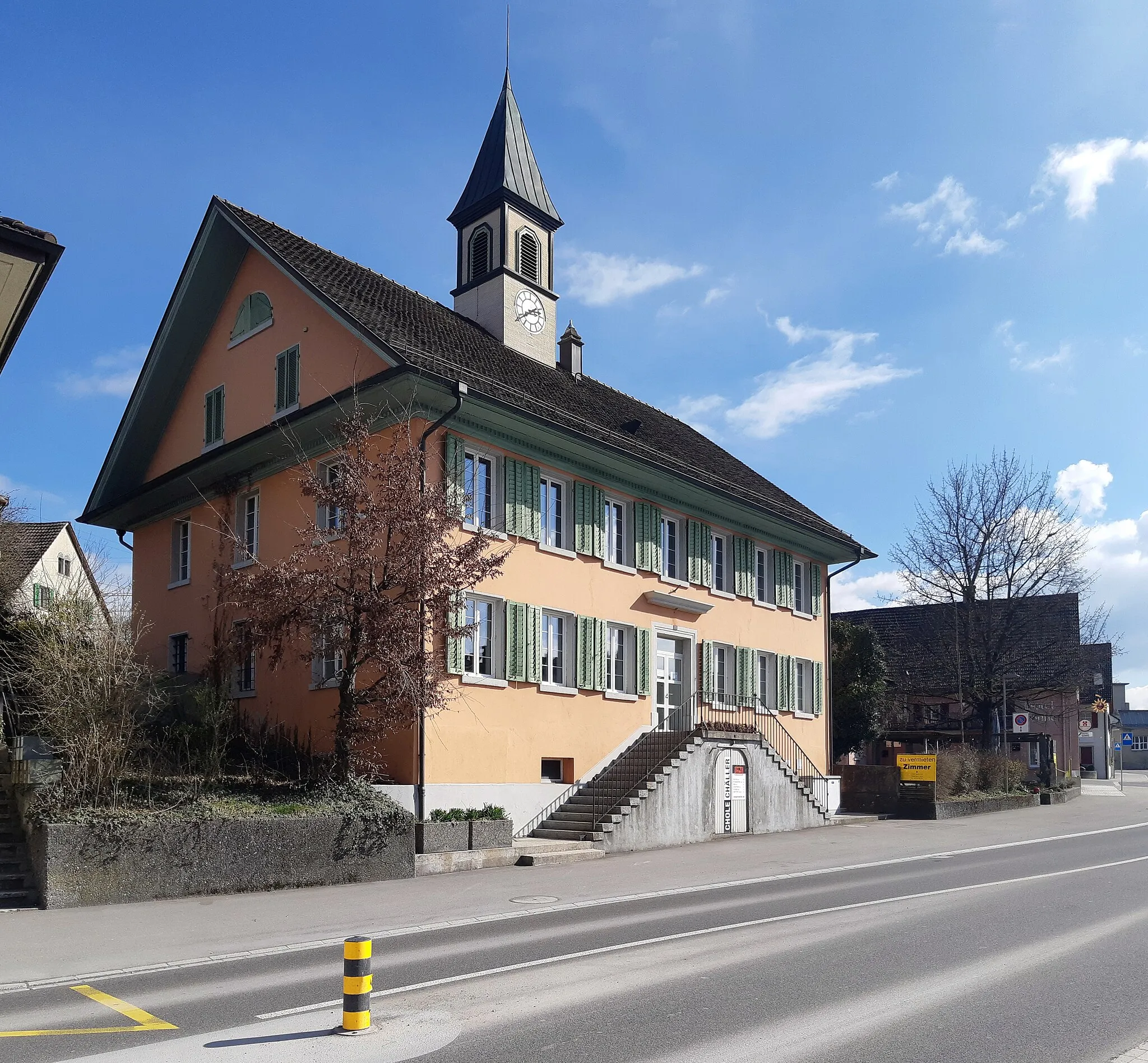
Projíždějte idylickou krajinou až do Hirslandenu
Tato trasa nabízí 62 km cestu s celkovým převýšením 1033 m. Projetím se kolem Wangenu, Rusikonu a dalších malebných míst si užijete skvělý cyklistický zážitek. Objevíte malebná místa a krásné výhledy na okolní krajinu.
![Miniaturní mapa "Gravel Rundfahrt von Hirslanden" inspirace pro cyklisty v oblasti Zürich, Switzerland. Vytvořeno pomocí plánovače tras Tarmacs.app](https://images.tarmacs.app/cycling-routes/routemaps/600/switzerland/zurich/zuerich-kreis-7-hirslanden/gravel/358103.webp)
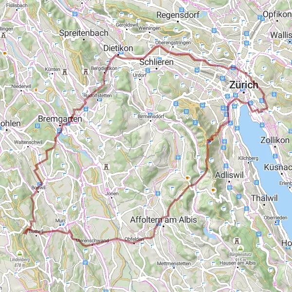
Jedinečná cesta napříč přírodou
Tato 73 km dlouhá trasa nabízí nádherné výhledy, zahrnující místa jako Hirslanden, Obfelden a Reussbrücke. S převýšením 1430 m je to výzva pro zkušené cyklisty, ale odměna stojí za to.
![Miniaturní mapa "Silniční cesta kolem Zürichu" inspirace pro cyklisty v oblasti Zürich, Switzerland. Vytvořeno pomocí plánovače tras Tarmacs.app](https://images.tarmacs.app/cycling-routes/routemaps/600/switzerland/zurich/zuerich-kreis-7-hirslanden/road/358095.webp)
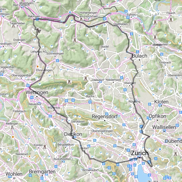
Nádherná silniční trasa plná zajímavých míst
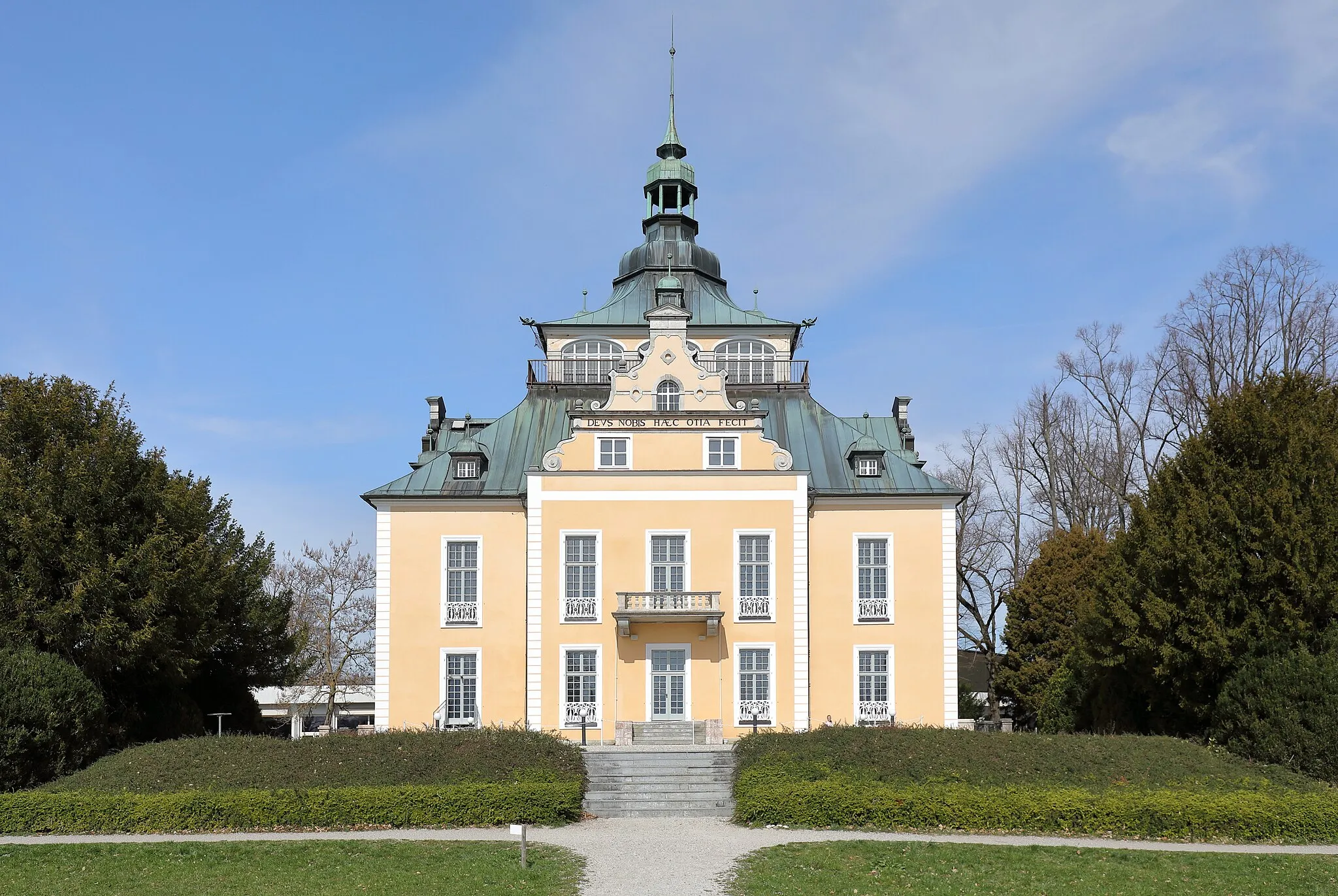
Tato 86 km dlouhá cesta nabízí pohledy na místa jako Lindenhof, Lengnau AG a Monte Diggelmann. S převýšením 1016 m je to skvělá volba pro cyklisty, kteří chtějí objevovat krásy okolí.
![Miniaturní mapa "Cyklistická trasa Quaibrücke - Hirslanden" inspirace pro cyklisty v oblasti Zürich, Switzerland. Vytvořeno pomocí plánovače tras Tarmacs.app](https://images.tarmacs.app/cycling-routes/routemaps/600/switzerland/zurich/zuerich-kreis-7-hirslanden/road/358088.webp)
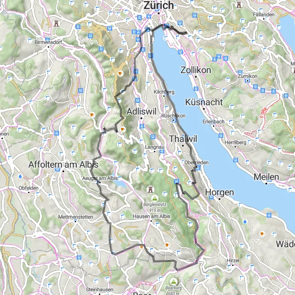
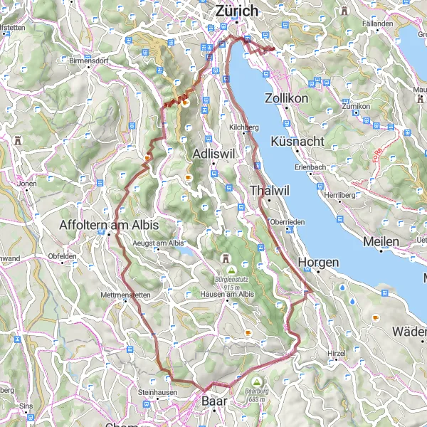
Podívejte se na krásné výhledy kolem Zürichského jezera
Tato trasa nabízí 59 km cestu s celkovým převýšením 1079 m. Projedete okolo Oberriedenu, Baarburgu a dalších malebných míst. Objevíte historické památky a nádherné výhledy.
![Miniaturní mapa "Road Cycling to Pfaffhausen" inspirace pro cyklisty v oblasti Zürich, Switzerland. Vytvořeno pomocí plánovače tras Tarmacs.app](https://images.tarmacs.app/cycling-routes/routemaps/600/switzerland/zurich/zuerich-kreis-7-hirslanden/road/358083.webp)
Enjoy a challenging road cycling route through the countryside
Embark on a 59 km road cycling adventure with 952 m of ascent. Ride through the picturesque Föhrlibuck, visit the historic altes Kirchlein Witikon, and admire the scenic beauty of Eschenberg and Seen along the way.
Cyklotrasy v okolí:
![Obrázek Meiningen](https://images.tarmacs.app/cycling-routes/covers/austria/vorarlberg/meiningen-5.webp)
![Obrázek Koblach](https://images.tarmacs.app/cycling-routes/covers/austria/vorarlberg/koblach-5.webp)
![Obrázek Gaißau](https://images.tarmacs.app/cycling-routes/covers/austria/vorarlberg/gaissau-5.webp)
![Obrázek Mäder](https://images.tarmacs.app/cycling-routes/covers/austria/vorarlberg/maeder-3.webp)
![Obrázek Feldkirch](https://images.tarmacs.app/cycling-routes/covers/austria/vorarlberg/feldkirch-5.webp)
![Obrázek Götzis](https://images.tarmacs.app/cycling-routes/covers/austria/vorarlberg/goetzis-4.webp)
![Obrázek Höchst](https://images.tarmacs.app/cycling-routes/covers/austria/vorarlberg/hoechst-4.webp)
![Obrázek Altach](https://images.tarmacs.app/cycling-routes/covers/austria/vorarlberg/altach-5.webp)
![Obrázek Rankweil](https://images.tarmacs.app/cycling-routes/covers/austria/vorarlberg/rankweil-4.webp)
Okolní oblasti:
![Obrázek Kärnten](https://images.tarmacs.app/cycling-routes/covers/austria/karnten/althofen-5.webp)
![Obrázek Oberösterreich](https://images.tarmacs.app/cycling-routes/covers/austria/oberosterreich/gmunden-2.webp)
![Obrázek Salzburg](https://images.tarmacs.app/cycling-routes/covers/austria/salzburg/fuschl-am-see-1.webp)
![Obrázek Tirol](https://images.tarmacs.app/cycling-routes/covers/austria/tirol/neustift-im-stubaital-3.webp)
![Obrázek Vorarlberg](https://images.tarmacs.app/cycling-routes/covers/austria/vorarlberg/weiler-2.webp)
![Obrázek Espace Mittelland](https://images.tarmacs.app/cycling-routes/covers/switzerland/espace-mittelland/givisiez-4.webp)
![Obrázek Nordwestschweiz](https://images.tarmacs.app/cycling-routes/covers/switzerland/nordwestschweiz/niederlenz-2.webp)
![Obrázek Ostschweiz](https://images.tarmacs.app/cycling-routes/covers/switzerland/ostschweiz/schwanden-5.webp)
![Obrázek Zentralschweiz](https://images.tarmacs.app/cycling-routes/covers/switzerland/zentralschweiz/nebikon-1.webp)
![Obrázek Freiburg](https://images.tarmacs.app/cycling-routes/covers/germany/freiburg/albbruck-4.webp)
![Obrázek Tübingen](https://images.tarmacs.app/cycling-routes/covers/germany/tubingen/bingen-5.webp)
![Obrázek Schwaben](https://images.tarmacs.app/cycling-routes/covers/germany/schwaben/laugna-5.webp)
![Obrázek Liechtenstein](https://images.tarmacs.app/cycling-routes/covers/liechtenstein/liechtenstein/triesen-2.webp)