![Cover image](https://images.tarmacs.app/cycling-routes/covers/switzerland/zurich/zuerich-kreis-9-albisrieden-3.webp)
Road cyklistika ve Zürichu
Cyklistické trasy kolem Zürich (Kreis 9) / Albisrieden
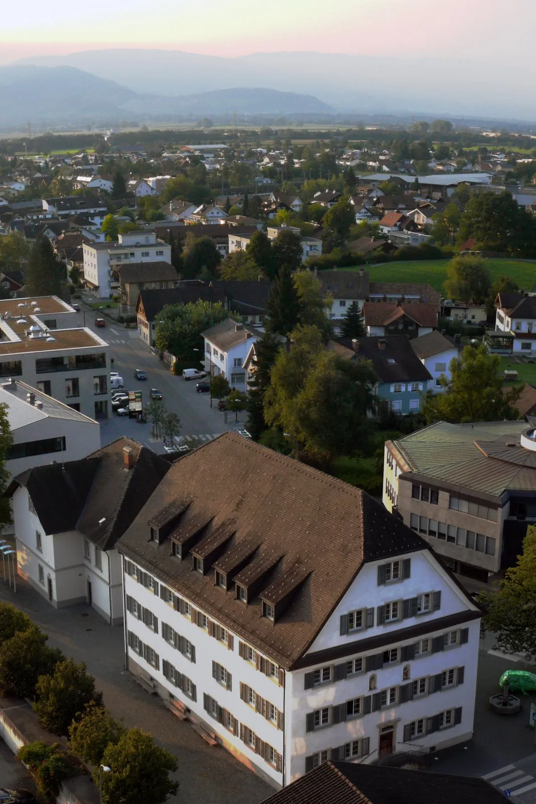
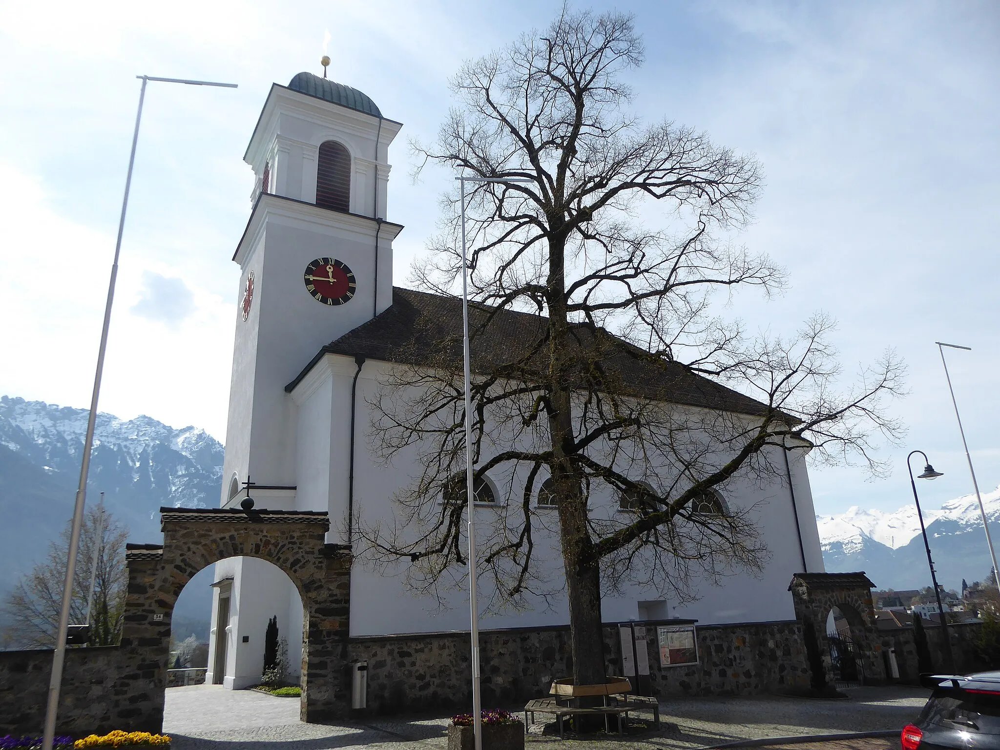
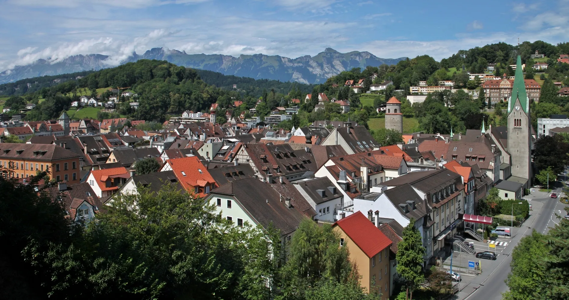
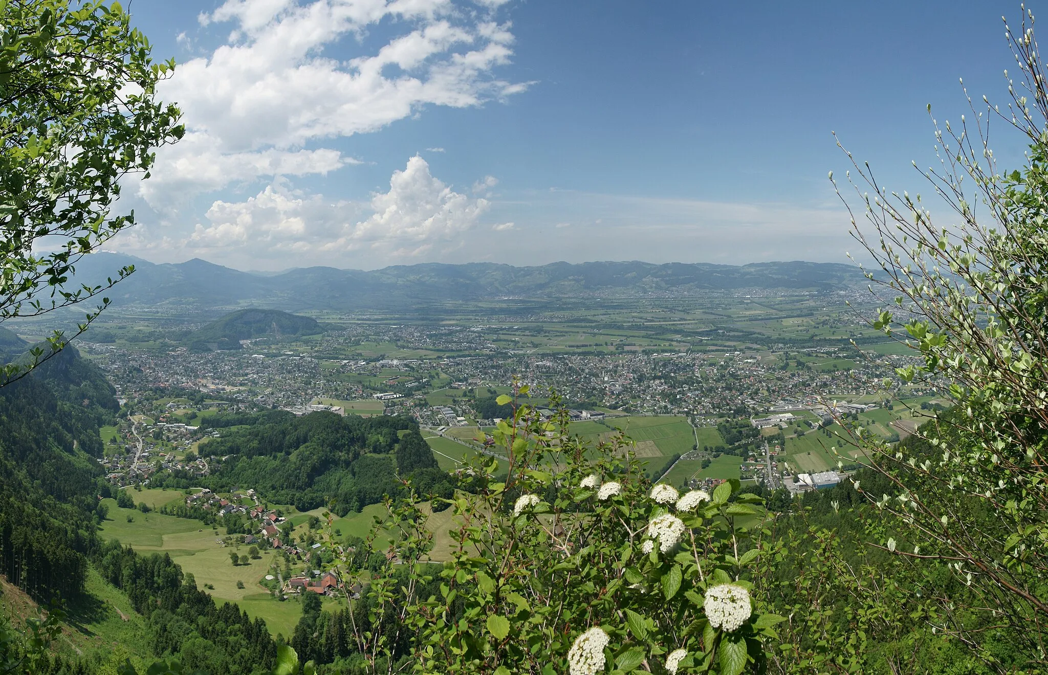
Zürich (Kreis 9) / Albisrieden nabízí skvělé možnosti pro road cyklistiku v blízkosti města Zürich. Nedaleko se nachází slavný kopec Uetliberg, oblíbený cíl pro cyklisty hledající výzvu a krásné výhledy na město a jezero.
![Miniaturní mapa "Cesta k jezeru Zurichsee" inspirace pro cyklisty v oblasti Zürich, Switzerland. Vytvořeno pomocí plánovače tras Tarmacs.app](https://images.tarmacs.app/cycling-routes/routemaps/600/switzerland/zurich/zuerich-kreis-9-albisrieden/road/246383.webp)
Projeďte se tuto trasu a užijte si malebné výhledy na jezero Zurichsee a okolní krajinu.
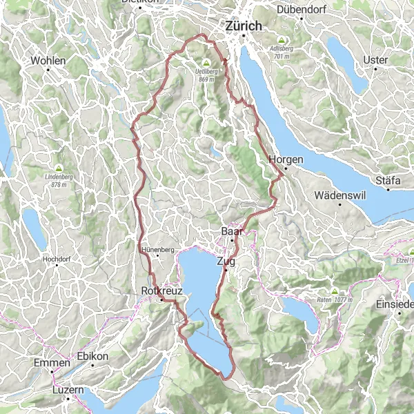
Tato cyklistická trasa s převýšením 1035 metrů a délkou 81 kilometrů vás provede kolem jezera Zurichsee a malebných vesniček. Užijete si klidnou jízdu plnou krásných výhledů a historických památek.
![Miniaturní mapa "Uetliberg Tour in Albisrieden" inspirace pro cyklisty v oblasti Zürich, Switzerland. Vytvořeno pomocí plánovače tras Tarmacs.app](https://images.tarmacs.app/cycling-routes/routemaps/600/switzerland/zurich/zuerich-kreis-9-albisrieden/gravel/246417.webp)
Exciting gravel route passing through Uetliberg and Albisrieden.
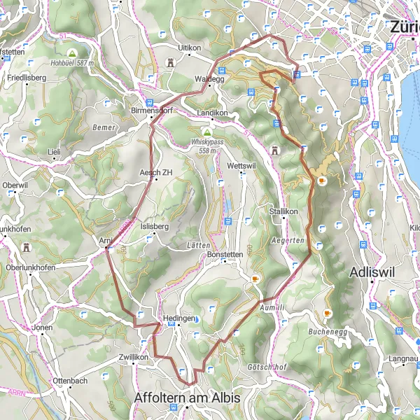
Explore the beauty of the Albisrieden area with 845 m ascent over 31 km of cycling. Highlights include the iconic Uetliberg mountain and the charming village of Arni.
![Miniaturní mapa "Okružní cyklostezka Uitikon - Otelfingen" inspirace pro cyklisty v oblasti Zürich, Switzerland. Vytvořeno pomocí plánovače tras Tarmacs.app](https://images.tarmacs.app/cycling-routes/routemaps/600/switzerland/zurich/zuerich-kreis-9-albisrieden/road/246337.webp)
Prozkoumejte malebnou okolní krajinu mezi Uitikon a Otelfingen na této zábavné cyklostezce.
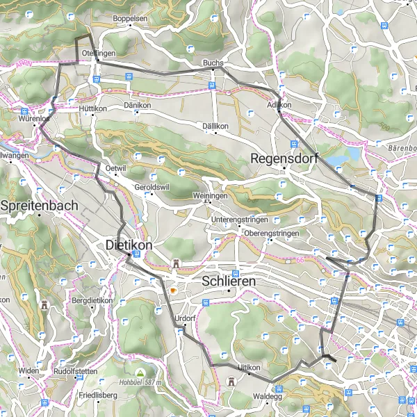
Tato trasa vás provede malebnou krajinou s působivými výhledy na Hönggerberg a Höngg. S celkovým převýšením 444 metrů a délkou 40 kilometrů je ideální pro středně zdatné cyklisty. Navštivte historický Otelfingen a užijte si krásné scenérie podél toku řeky Limmat.
![Miniaturní mapa "Trasa okolo Albisriedenu" inspirace pro cyklisty v oblasti Zürich, Switzerland. Vytvořeno pomocí plánovače tras Tarmacs.app](https://images.tarmacs.app/cycling-routes/routemaps/600/switzerland/zurich/zuerich-kreis-9-albisrieden/gravel/246353.webp)
98 km dlouhá trasa vede kolem Albisriedenu a nabízí nádherné výhledy a přírodní scenérie.
Tato 98 km dlouhá trasa poskytuje úžasné výhledy na okolní krajinu a řeku Sihl. Projedete městem Rüschlikon, malebným městečkem Immensee a malebnými vesničkami Rotkreuz a Jonen. Trasa je z větší části štěrková, což dodává dojmu dobrodružství a zábavy.
![Miniaturní mapa "Whiskypass Road Adventure" inspirace pro cyklisty v oblasti Zürich, Switzerland. Vytvořeno pomocí plánovače tras Tarmacs.app](https://images.tarmacs.app/cycling-routes/routemaps/600/switzerland/zurich/zuerich-kreis-9-albisrieden/road/246355.webp)
Challenging road route passing through Whiskypass and Zufikon.
Embark on a thrilling road cycling adventure with 1112 m ascent over 70 km of challenging terrain. Highlights include the stunning Mutschellenpass and the picturesque village of Schlieren.
![Miniaturní mapa "Gravel Road to Volketswil" inspirace pro cyklisty v oblasti Zürich, Switzerland. Vytvořeno pomocí plánovače tras Tarmacs.app](https://images.tarmacs.app/cycling-routes/routemaps/600/switzerland/zurich/zuerich-kreis-9-albisrieden/gravel/246443.webp)
Exciting gravel route passing through Alte Sagi, Homberg, and Tüfels Chilen.
This 74 km long gravel route with 1244 m ascent offers a unique biking experience. Highlights include the scenic views from Loorenkopf Turm and the charming village of Aussersihl.
![Miniaturní mapa "Okruh s výhledem na Alpy" inspirace pro cyklisty v oblasti Zürich, Switzerland. Vytvořeno pomocí plánovače tras Tarmacs.app](https://images.tarmacs.app/cycling-routes/routemaps/600/switzerland/zurich/zuerich-kreis-9-albisrieden/road/246462.webp)
Projděte se touto trasou a obdivujte výhled na švýcarské Alpy a malebná městečka.
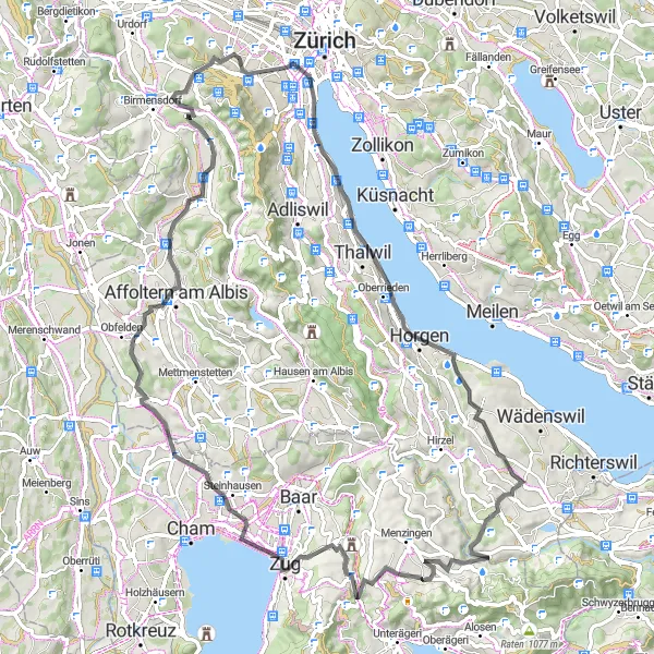
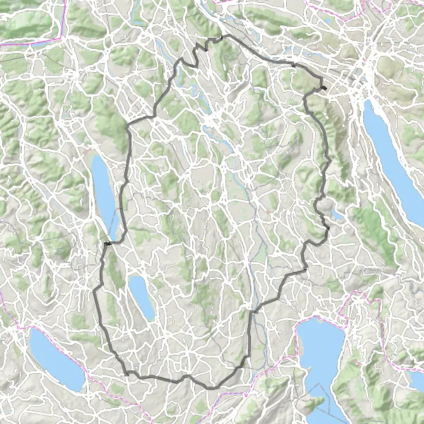
Tato cyklistická trasa s převýšením 1626 metrů a délkou 110 kilometrů vám nabídne úchvatné výhledy na okolní krajinu. Po cestě budete projíždět historickými památkami a malebnými vesnicemi a užijete nezapomenutelný výlet.
![Miniaturní mapa "Okruh Albisrieden - Höngg" inspirace pro cyklisty v oblasti Zürich, Switzerland. Vytvořeno pomocí plánovače tras Tarmacs.app](https://images.tarmacs.app/cycling-routes/routemaps/600/switzerland/zurich/zuerich-kreis-9-albisrieden/gravel/246420.webp)
Zajímavý výlet v okolí Zürichu s nádhernými výhledy
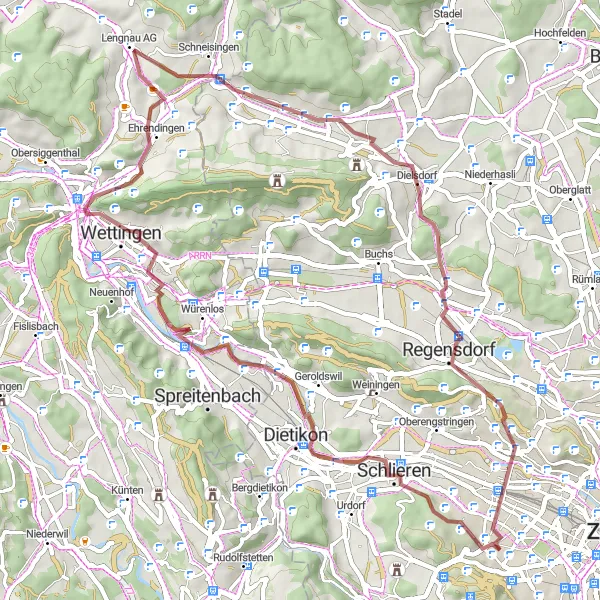
Tato 57 km dlouhá trasa nabízí jedinečné výhledy z Albisriedenu na Höngg. Po cestě navštívíte historické lokality jako Ruine Schönenwerd a Landvogteischloss.
![Miniaturní mapa "Scenic Gravel Route to Witikon" inspirace pro cyklisty v oblasti Zürich, Switzerland. Vytvořeno pomocí plánovače tras Tarmacs.app](https://images.tarmacs.app/cycling-routes/routemaps/600/switzerland/zurich/zuerich-kreis-9-albisrieden/gravel/246449.webp)
Picturesque gravel route passing through Gelsberg, Lufingen, and Grafstal.
With 825 m ascent over 72 km, this route offers a delightful cycling experience. Highlights include the charming village of Neftenbach and the stunning Hackenberg peak.
![Miniaturní mapa "Okruh Hasleren - Industriequartier" inspirace pro cyklisty v oblasti Zürich, Switzerland. Vytvořeno pomocí plánovače tras Tarmacs.app](https://images.tarmacs.app/cycling-routes/routemaps/600/switzerland/zurich/zuerich-kreis-9-albisrieden/road/246377.webp)
Náročná trasa s 82 km a malebnými výhledy
Tato 82 km dlouhá trasa vede z Haslerenu do Industriequartier s krásnými výhledy na okolní krajinu. Během cesty navštívíte historické památky jako Burg Rotwasserstelz a Hüntwangen.
Cyklotrasy v okolí:
![Obrázek Meiningen](https://images.tarmacs.app/cycling-routes/covers/austria/vorarlberg/meiningen-5.webp)
![Obrázek Koblach](https://images.tarmacs.app/cycling-routes/covers/austria/vorarlberg/koblach-5.webp)
![Obrázek Gaißau](https://images.tarmacs.app/cycling-routes/covers/austria/vorarlberg/gaissau-5.webp)
![Obrázek Mäder](https://images.tarmacs.app/cycling-routes/covers/austria/vorarlberg/maeder-3.webp)
![Obrázek Feldkirch](https://images.tarmacs.app/cycling-routes/covers/austria/vorarlberg/feldkirch-5.webp)
![Obrázek Götzis](https://images.tarmacs.app/cycling-routes/covers/austria/vorarlberg/goetzis-4.webp)
![Obrázek Höchst](https://images.tarmacs.app/cycling-routes/covers/austria/vorarlberg/hoechst-4.webp)
![Obrázek Altach](https://images.tarmacs.app/cycling-routes/covers/austria/vorarlberg/altach-5.webp)
![Obrázek Rankweil](https://images.tarmacs.app/cycling-routes/covers/austria/vorarlberg/rankweil-4.webp)
Okolní oblasti:
![Obrázek Kärnten](https://images.tarmacs.app/cycling-routes/covers/austria/karnten/bad-sankt-leonhard-im-lavanttal-4.webp)
![Obrázek Oberösterreich](https://images.tarmacs.app/cycling-routes/covers/austria/oberosterreich/traunkirchen-1.webp)
![Obrázek Salzburg](https://images.tarmacs.app/cycling-routes/covers/austria/salzburg/mittersill-4.webp)
![Obrázek Tirol](https://images.tarmacs.app/cycling-routes/covers/austria/tirol/koessen-2.webp)
![Obrázek Vorarlberg](https://images.tarmacs.app/cycling-routes/covers/austria/vorarlberg/rankweil-2.webp)
![Obrázek Espace Mittelland](https://images.tarmacs.app/cycling-routes/covers/switzerland/espace-mittelland/schonenwerd-5.webp)
![Obrázek Nordwestschweiz](https://images.tarmacs.app/cycling-routes/covers/switzerland/nordwestschweiz/oberlunkhofen-4.webp)
![Obrázek Ostschweiz](https://images.tarmacs.app/cycling-routes/covers/switzerland/ostschweiz/feuerthalen-1.webp)
![Obrázek Zentralschweiz](https://images.tarmacs.app/cycling-routes/covers/switzerland/zentralschweiz/dagmersellen-1.webp)
![Obrázek Freiburg](https://images.tarmacs.app/cycling-routes/covers/germany/freiburg/merdingen-3.webp)
![Obrázek Tübingen](https://images.tarmacs.app/cycling-routes/covers/germany/tubingen/kirchentellinsfurt-3.webp)
![Obrázek Liechtenstein](https://images.tarmacs.app/cycling-routes/covers/liechtenstein/liechtenstein/mauren-5.webp)