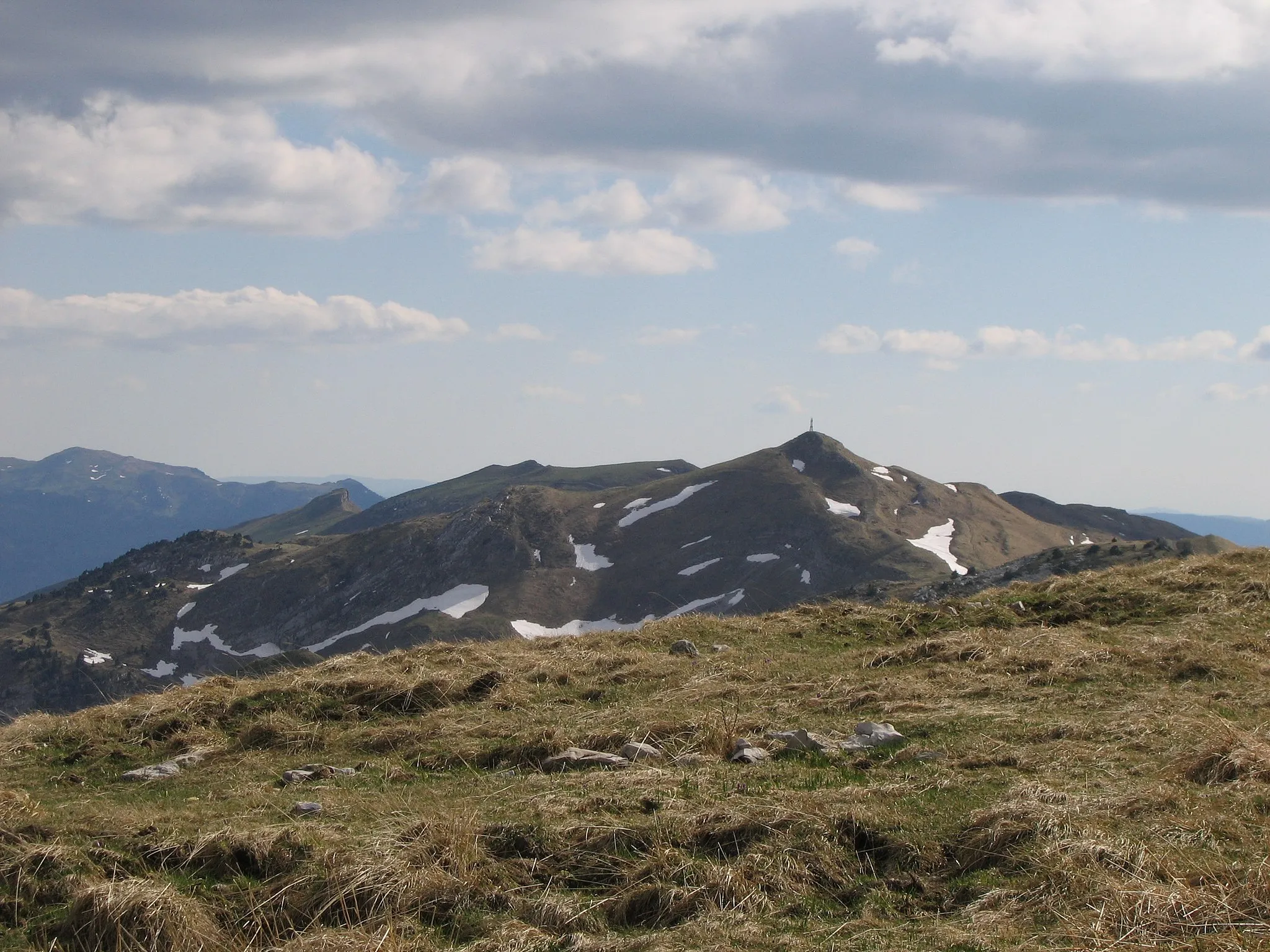
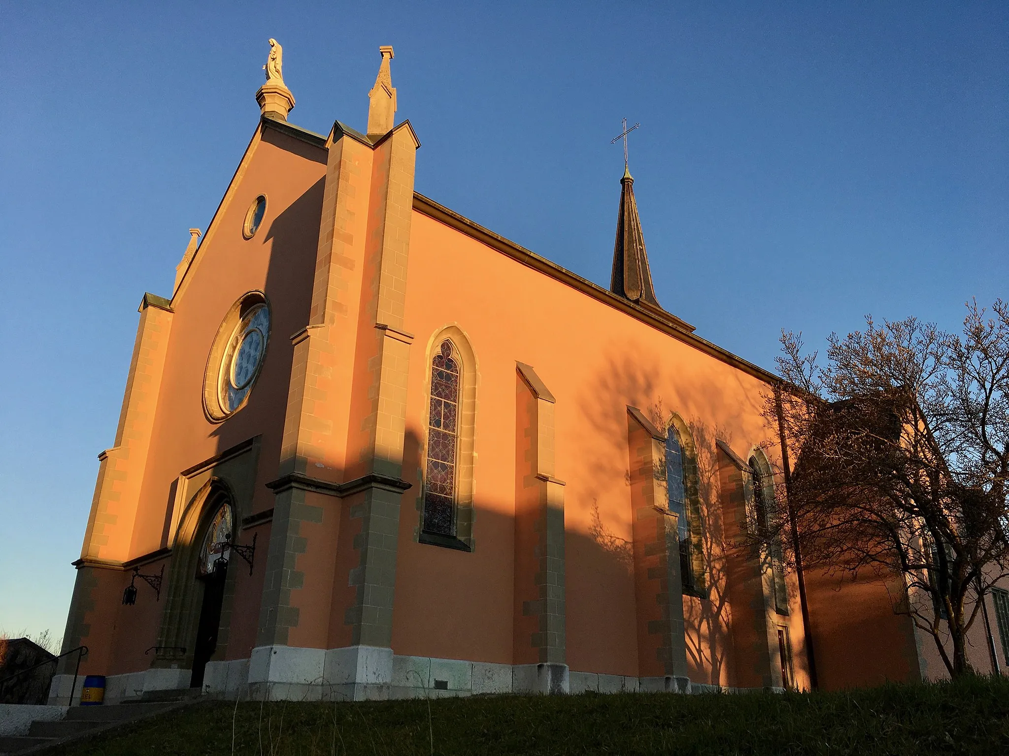
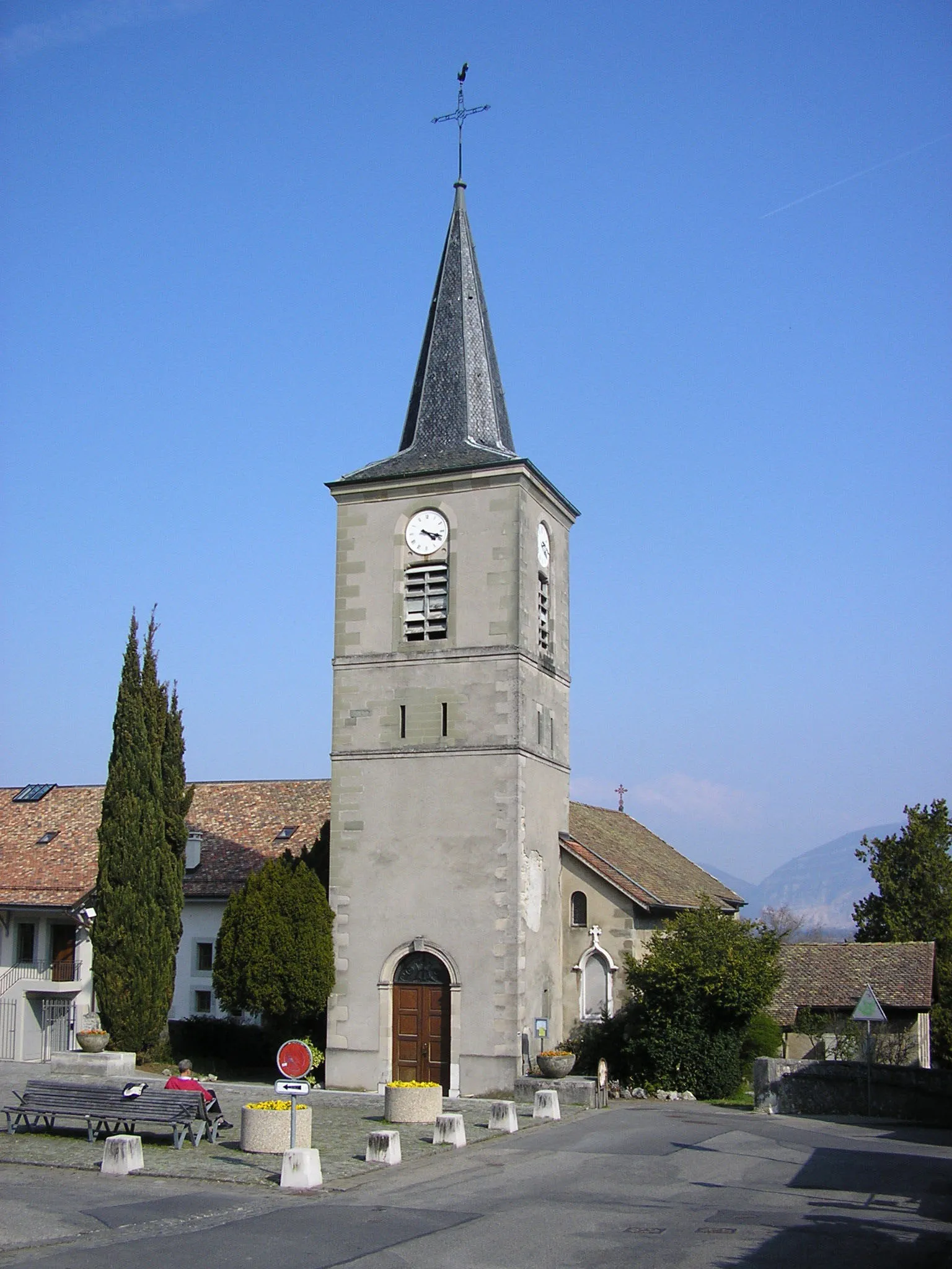
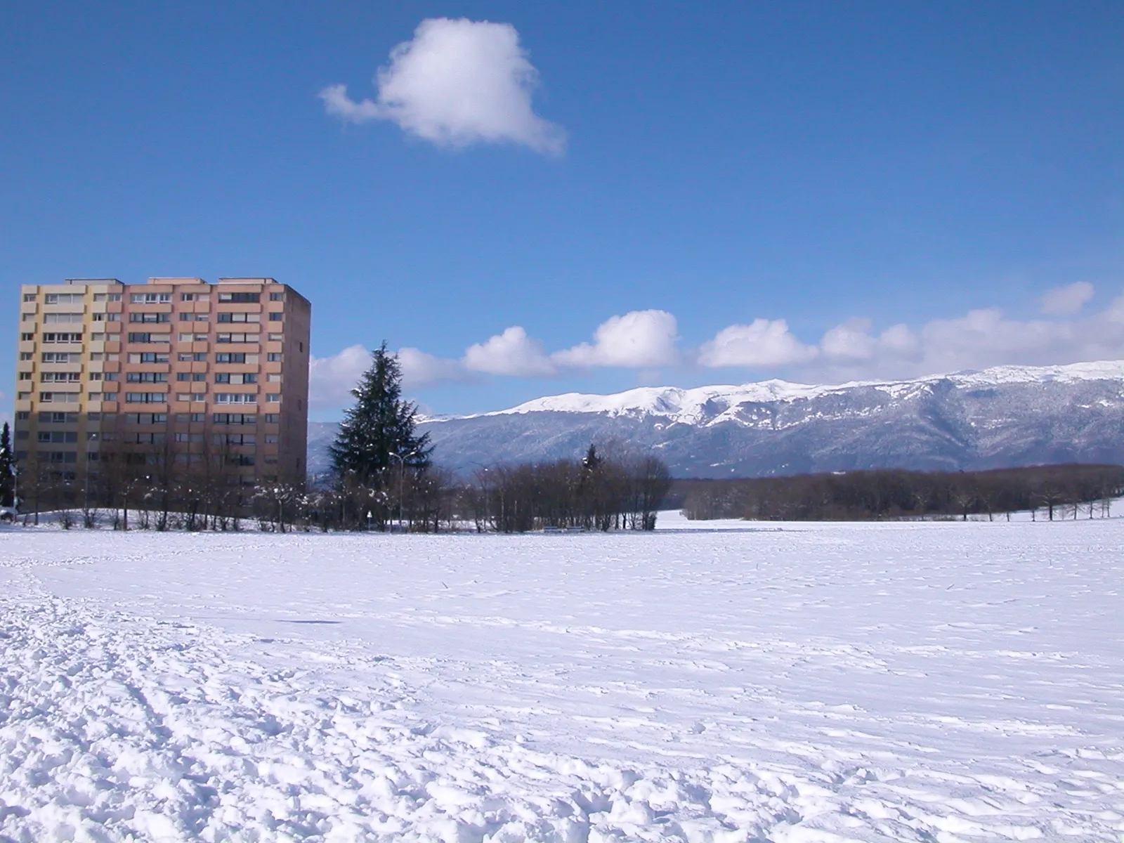
Ruhige Umgebung und malerische Landschaft.
Fahrradrouten rund um Saint-Andre-de-Corcy
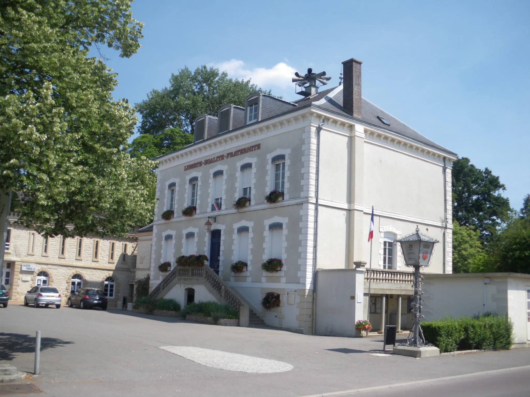
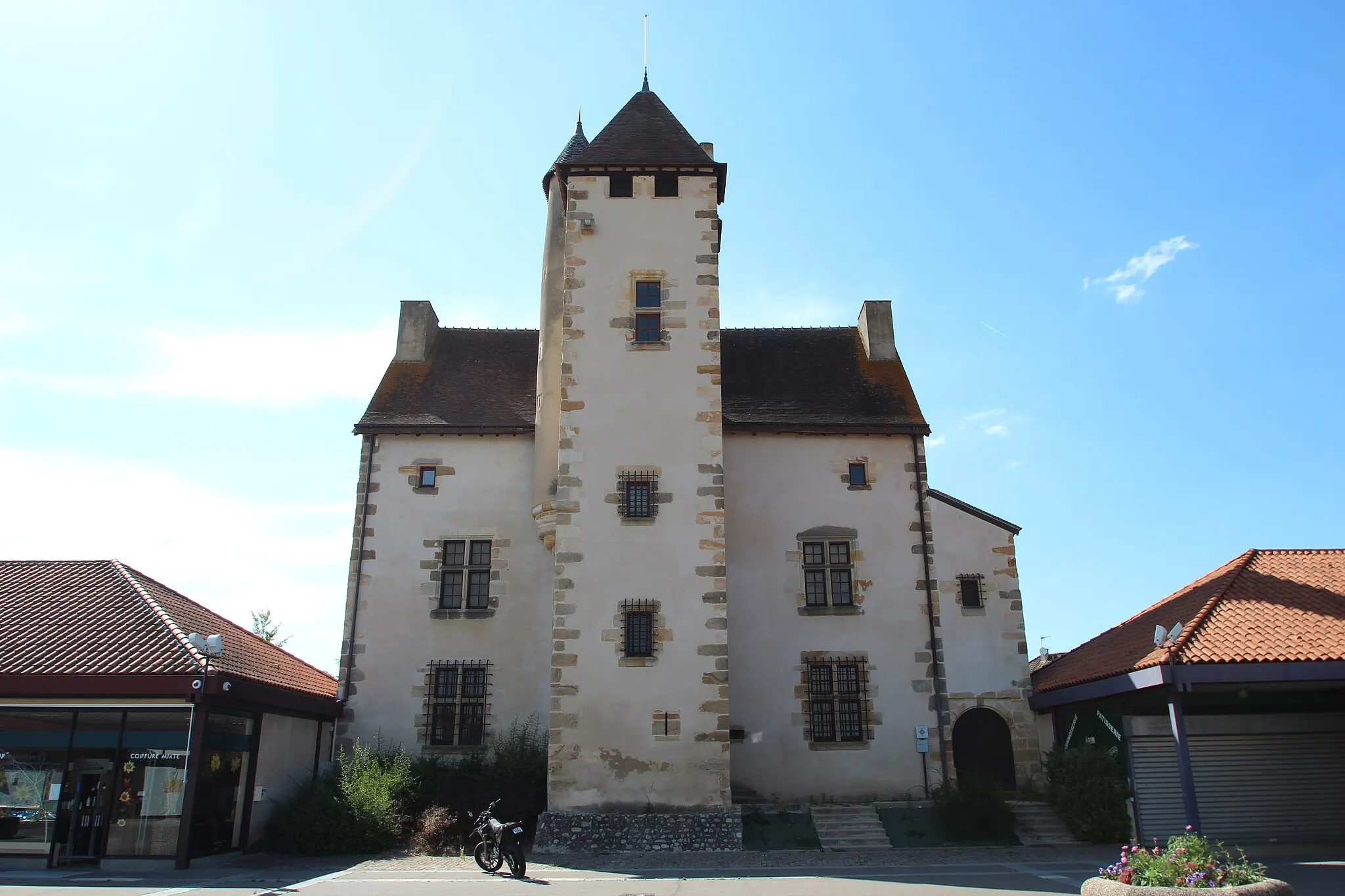
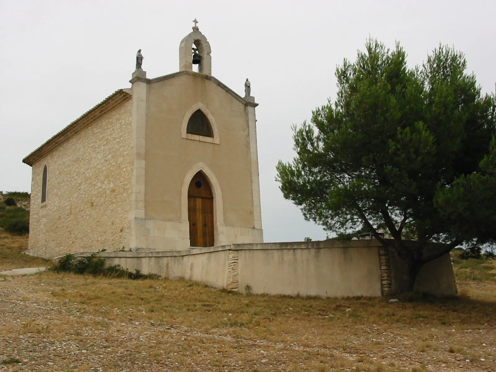
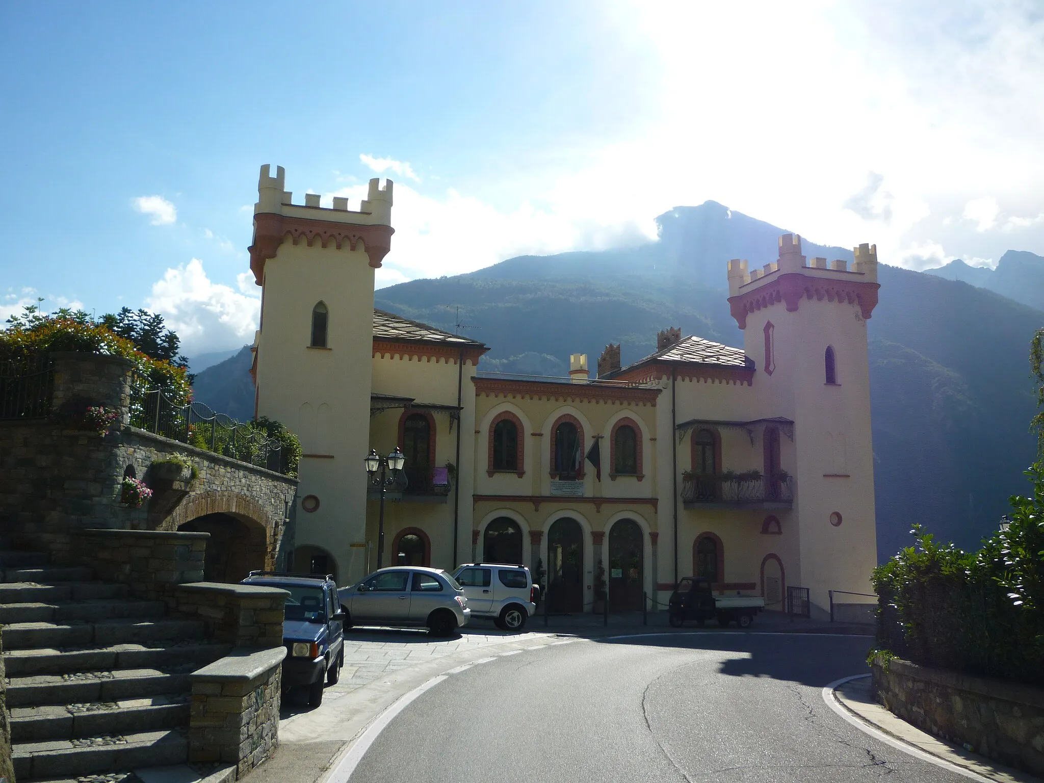
Saint-André-de-Corcy in der Region Rhône-Alpes, Frankreich, ist ein ruhiger Ort mit malerischer Landschaft für Radfahrer. Es gibt viele kleine Straßen und Wege, die sich gut für gemütliche Radtouren eignen. Eine beliebte Route führt nach Norden in Richtung Bourg-en-Bresse.
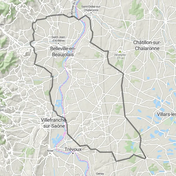
Straßenroute nach Romanèche
Eine 51 km lange Straßenroute durch malerische Dörfer und Landschaften.
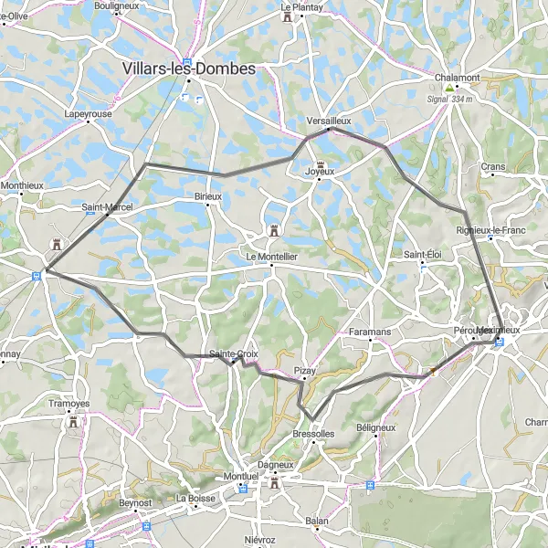
Diese Straßenroute führt Sie durch Versailleux, Meximieux, Pizay und schließlich nach Romanèche. Mit einem Aufstieg von 239 m bietet sie eine abwechslungsreiche Fahrt durch die Region.
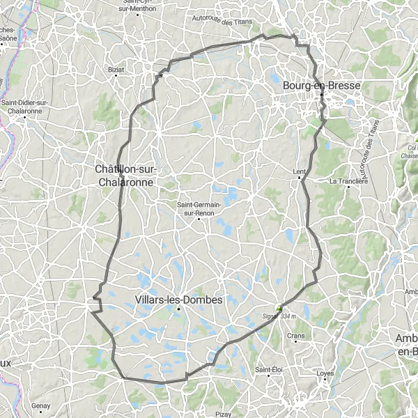
Entdecken Sie auf dieser 114 km langen Radtour die Sehenswürdigkeiten entlang des Weges.
Die Route führt Sie von Saint-André-de-Corcy über Sainte-Olive, Relevant, Mézériat, Bourg-en-Bresse, Dompierre-sur-Veyle, Chalamont, Signal, Le Montellier und zurück. Bewundern Sie die Vielfalt der Landschaft und erleben Sie die kulturellen Höhepunkte entlang der Strecke.
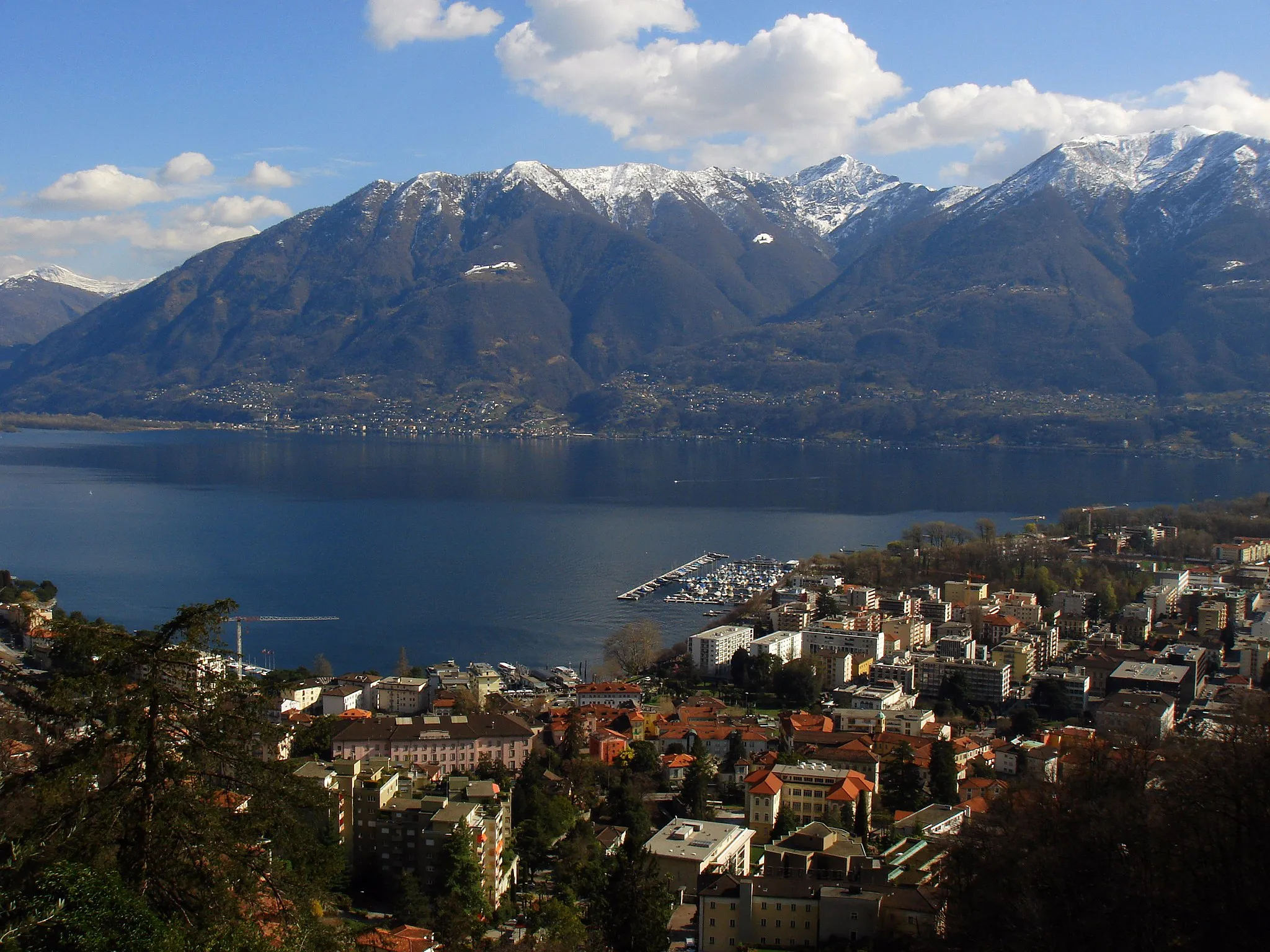
Erleben Sie auf dieser 38 km langen Radtour atemberaubende Panoramablicke.
Die Route führt Sie von Saint-André-de-Corcy über Cordieux, Dagneux, Panorama St Barthélémy und zurück. Genießen Sie die spektakulären Ausblicke auf die Region Rhône-Alpes und entdecken Sie die Sehenswürdigkeiten entlang des Weges.
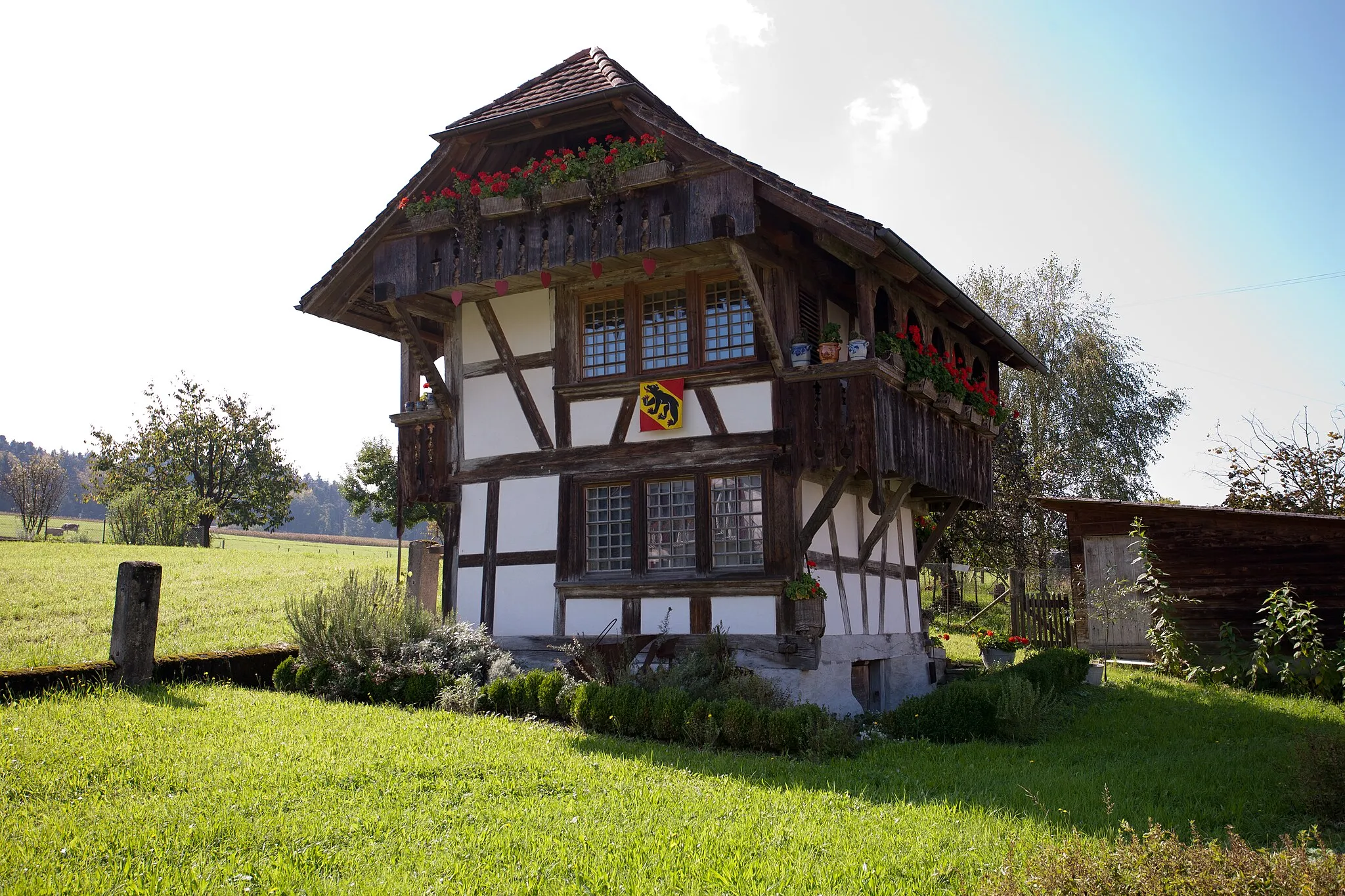
Entdecken Sie charmante Dörfer und typische Landschaften entlang der Strecke
Diese 92 km lange Straßenroute führt Sie von Reyrieux nach Ambérieux-en-Dombes und bietet ein authentisches Erlebnis der Region. Besuchen Sie malerische Orte wie Charentay, Villié-Morgon und Mogneneins, während Sie insgesamt 495 m Aufstieg bewältigen.
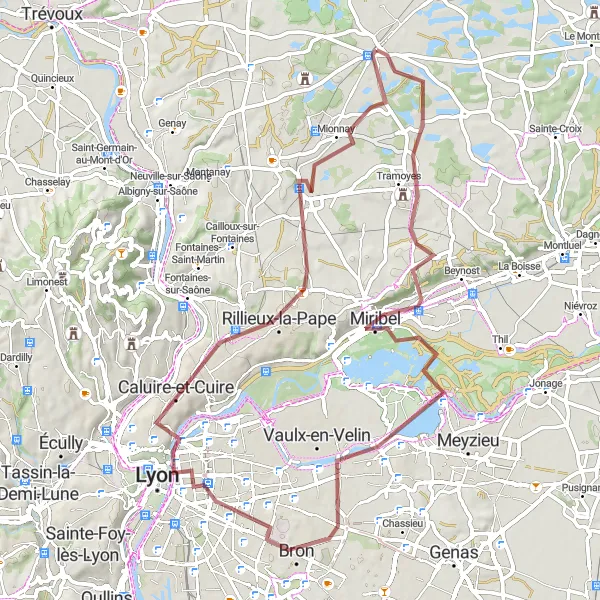
Entdecken Sie versteckte Orte abseits der ausgetretenen Pfade
Mit einer Länge von 69 km und 392 m Aufstieg bietet diese Schotterroute aufregende Highlights wie Saint-Maurice-de-Beynost, Place Bellevue und Sathonay-Camp. Tauchen Sie ein in die Natur und erleben Sie die Schönheit von Rhône-Alpes.
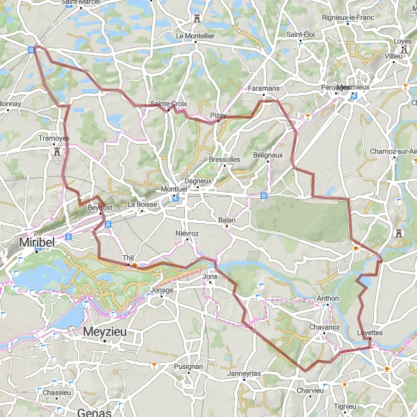
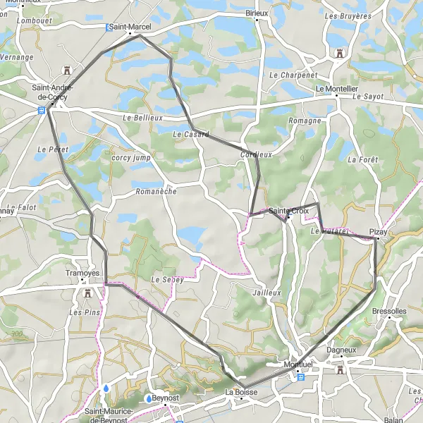
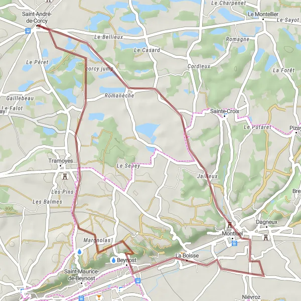
Eine 80 km lange Gravelroute durch idyllische Landschaften und charmante Dörfer.
Diese Gravelroute führt Sie durch Pizay, Saint-Maurice-de-Gourdans, Villette-d'Anthon, Tramoyes und schließlich zurück nach Saint-André-de-Corcy. Mit einem Aufstieg von 414 m bietet sie eine herausfordernde Fahrt durch die Region.
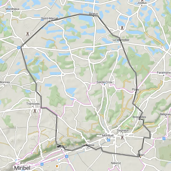
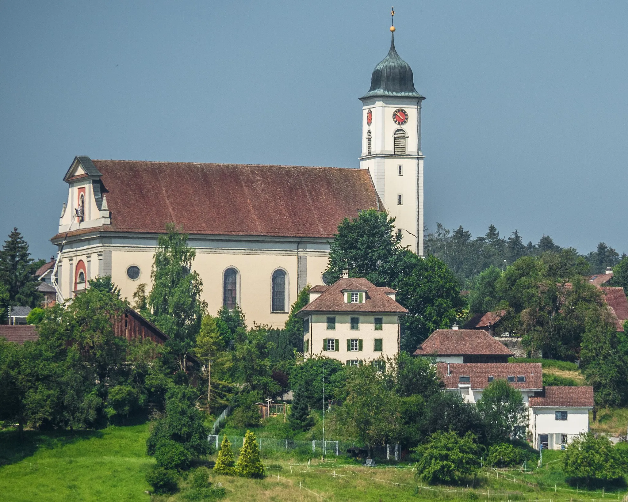
Erleben Sie die malerische Landschaft auf dieser 46 km langen Straßenrunde
Diese Straßenrunde führt Sie durch malerische Dörfer wie Pizay und La Boisse und bietet eine Gesamtsteigung von 278 Metern. Genießen Sie die ruhigen Straßen von Saint-André-de-Corcy und entdecken Sie die charmanten Plätze von Birieux. Die Strecke endet in La Tuilière, wo Sie die lokale Küche genießen können.
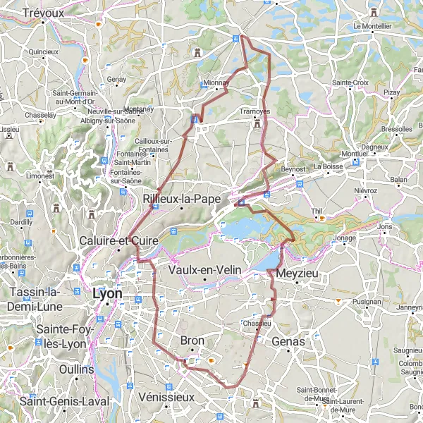
Erkunden Sie die atemberaubende Natur und Aussichtspunkte entlang dieser 75 km langen Gravelroute.
Diese Gravelroute bietet eine Vielzahl von Highlights, darunter Miribel, Saint-Priest, Sathonay-Camp und Mionnay. Genießen Sie die malerischen Landschaften und die Herausforderung der 411 m Aufstieg.
Die Schönheit von Chalamont
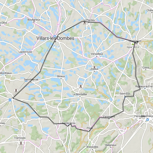
Erkunden Sie die Schönheit von Chalamont auf dieser 56 km langen Radtour.
Diese 56 km lange Radtour startet in Saint-André-de-Corcy und führt Sie durch Le Plantay, Chalamont, Signal, Pizay, Romanèche und zurück. Entdecken Sie die malerischen Dörfer und Sehenswürdigkeiten entlang der Strecke.
Naturerlebnis am St Barthélémy
Erkunden Sie die malerische Landschaft um St Barthélémy
Mit einer Strecke von 37 km und 247 m Aufstieg führt diese Schottertour durch die faszinierende Natur von Rhône-Alpes. Entdecken Sie Highlights wie das Panorama von St Barthélémy und das idyllische Beynost.
In der Nähe befinden sich Fahrradrouten:

Benachbarte Regionen: