![Cover image](https://images.tarmacs.app/cycling-routes/covers/italy/toscana/chiesina-uzzanese-5.webp)
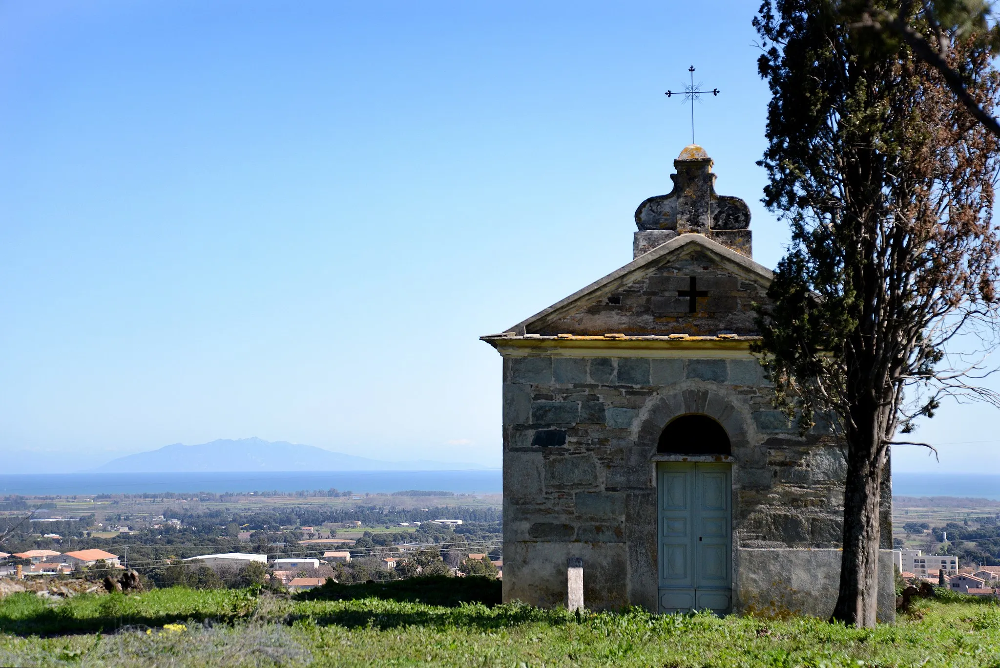
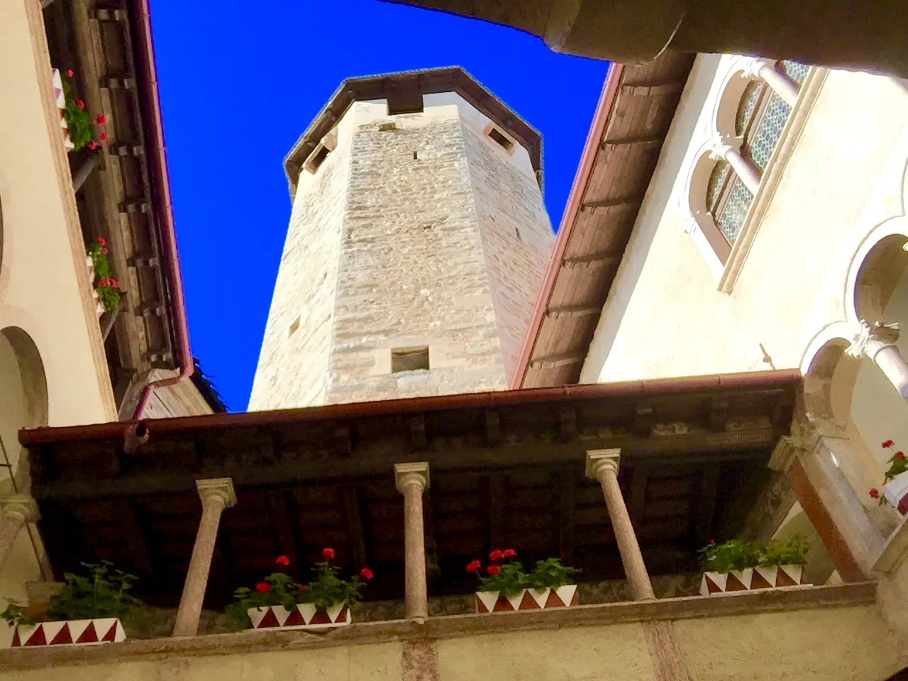
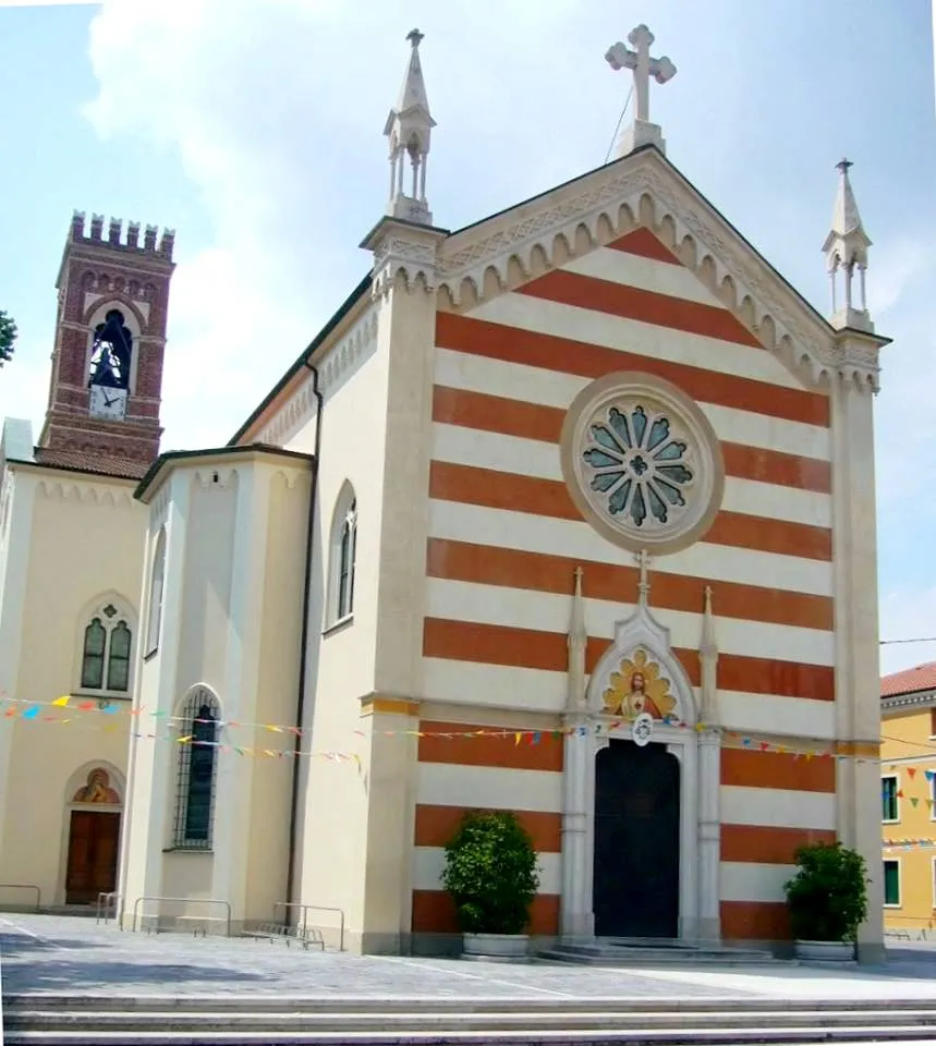
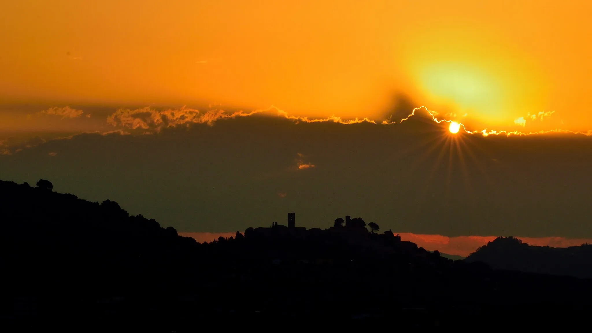
Ruhige Straßen und hügelige Landschaft in Chiesina Uzzanese.
Fahrradrouten rund um Chiesina Uzzanese
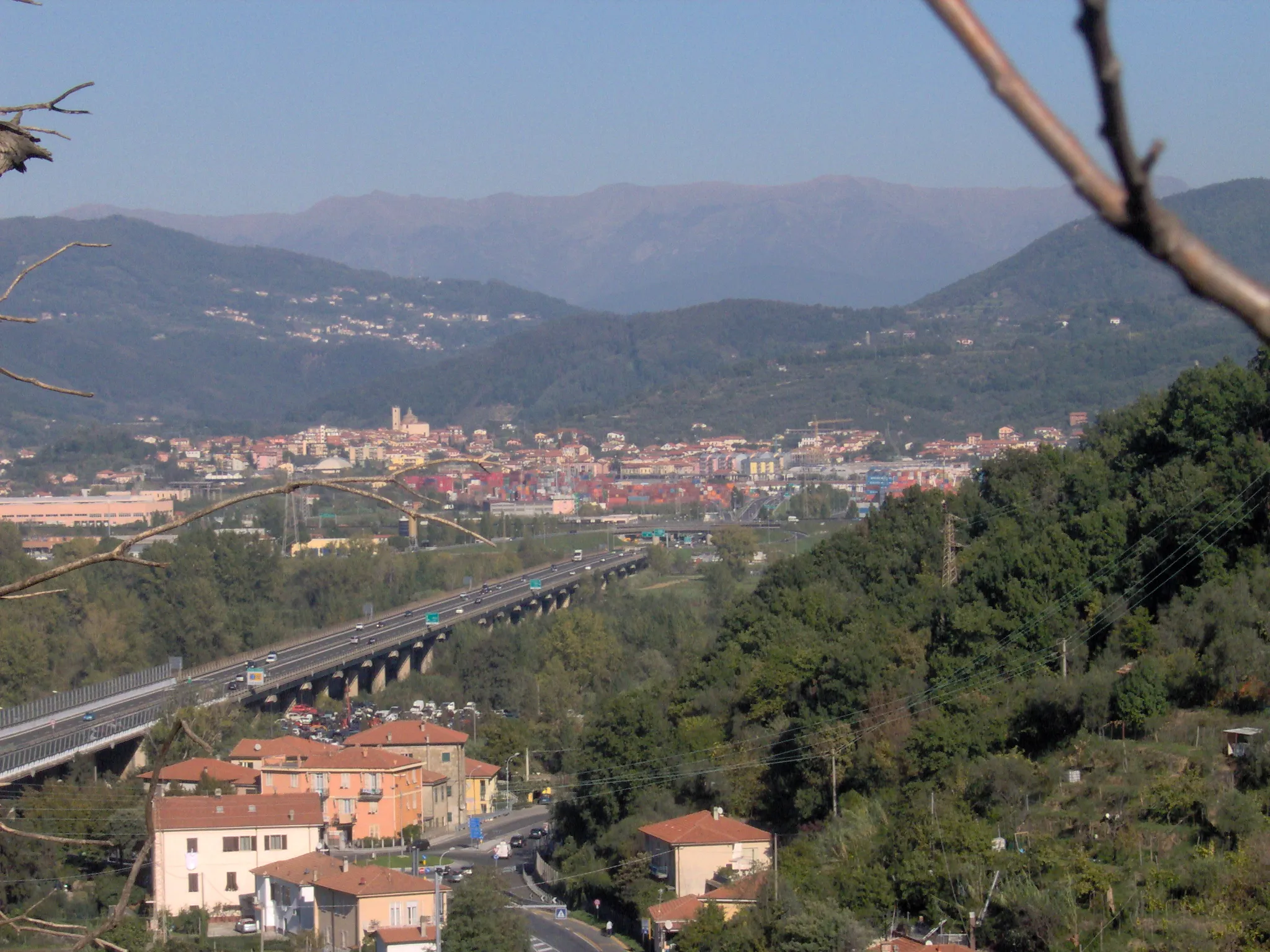
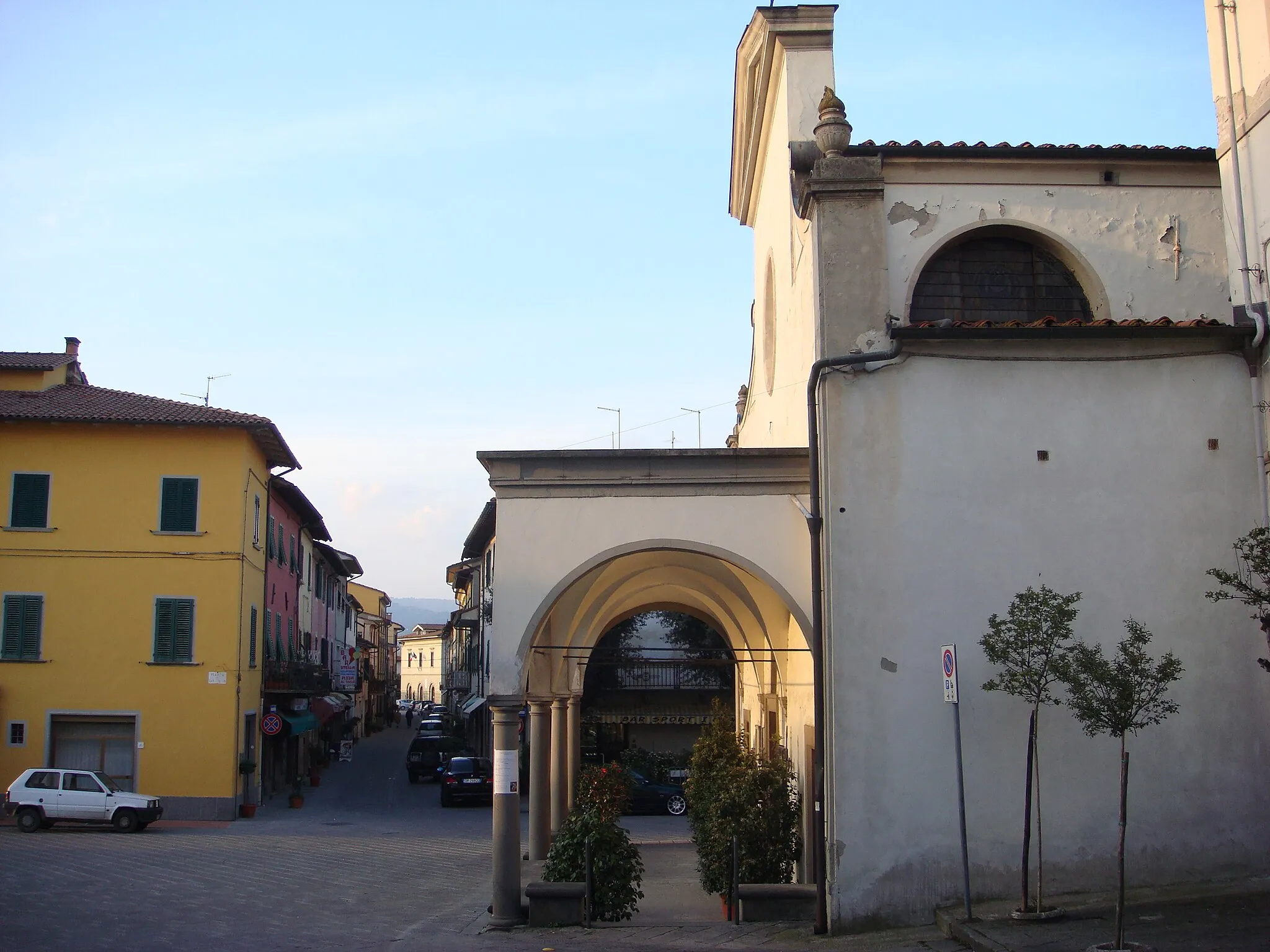
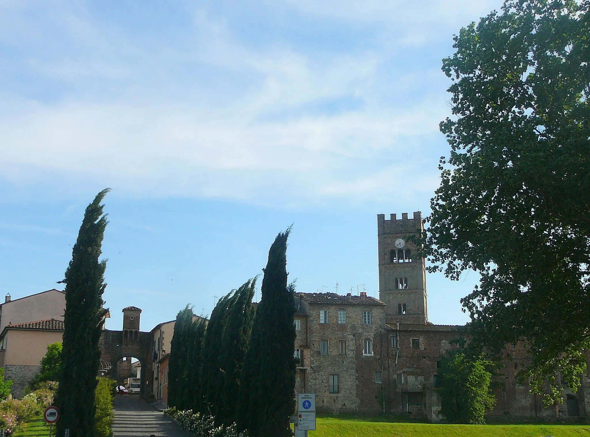
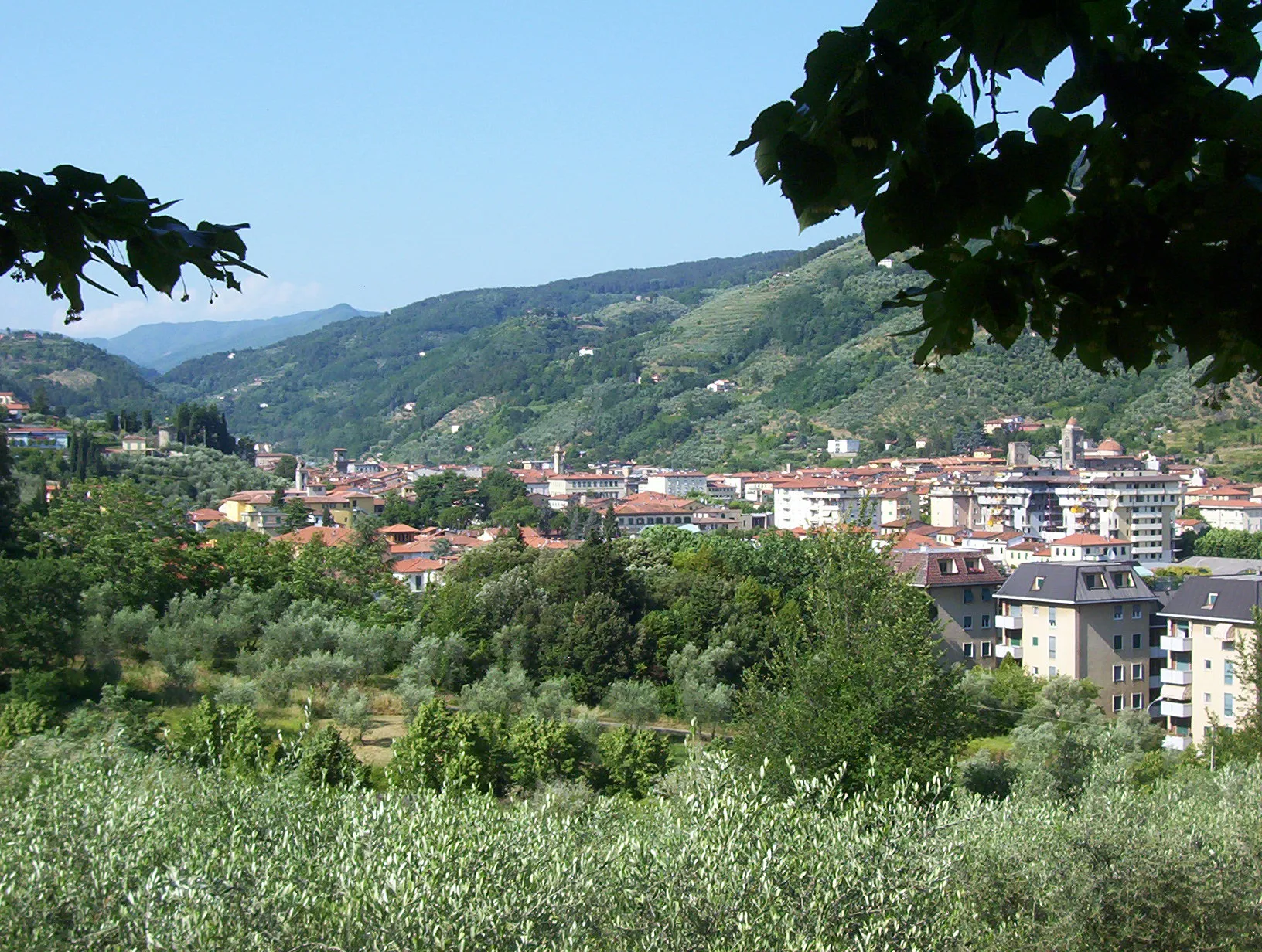
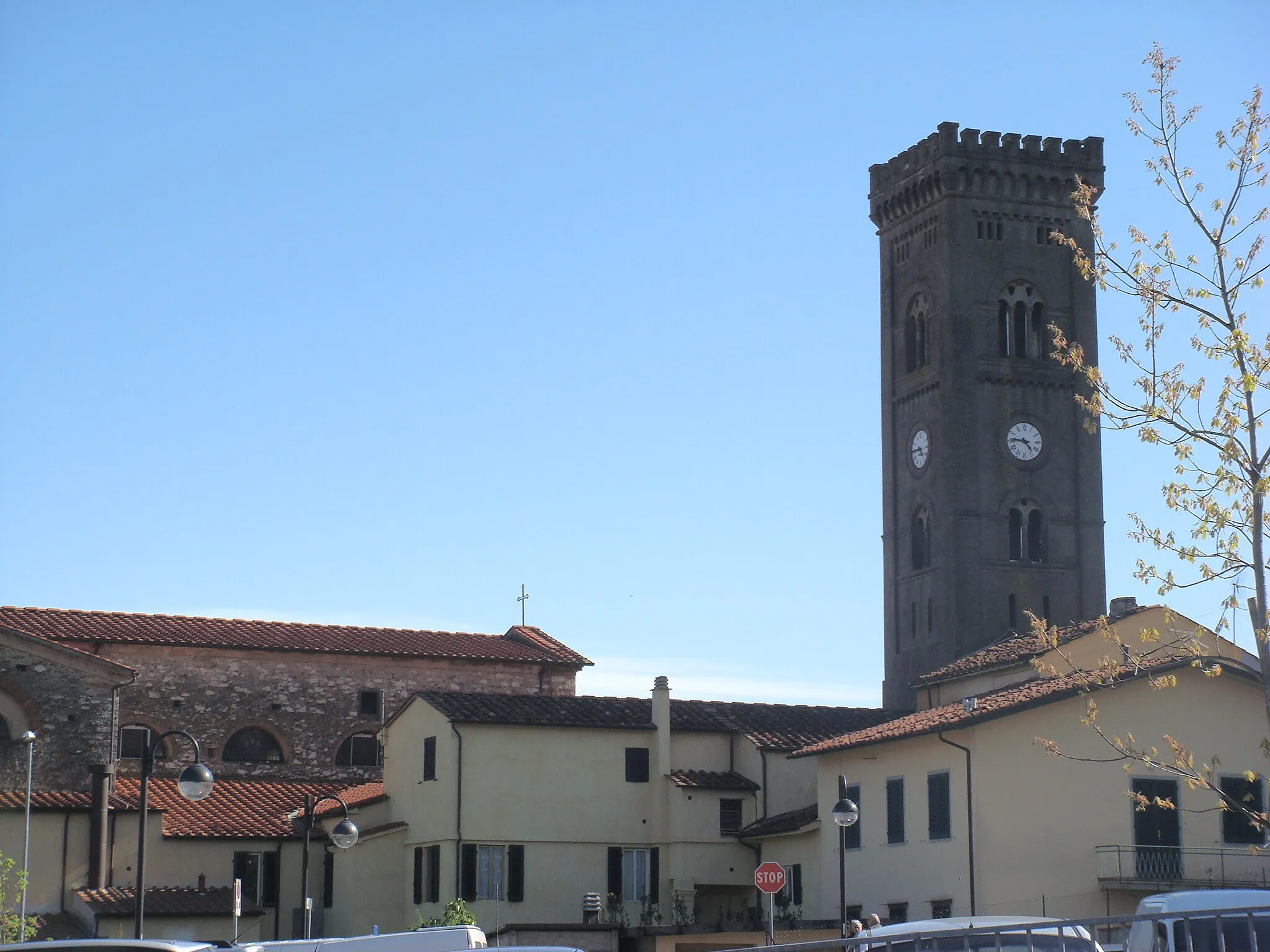
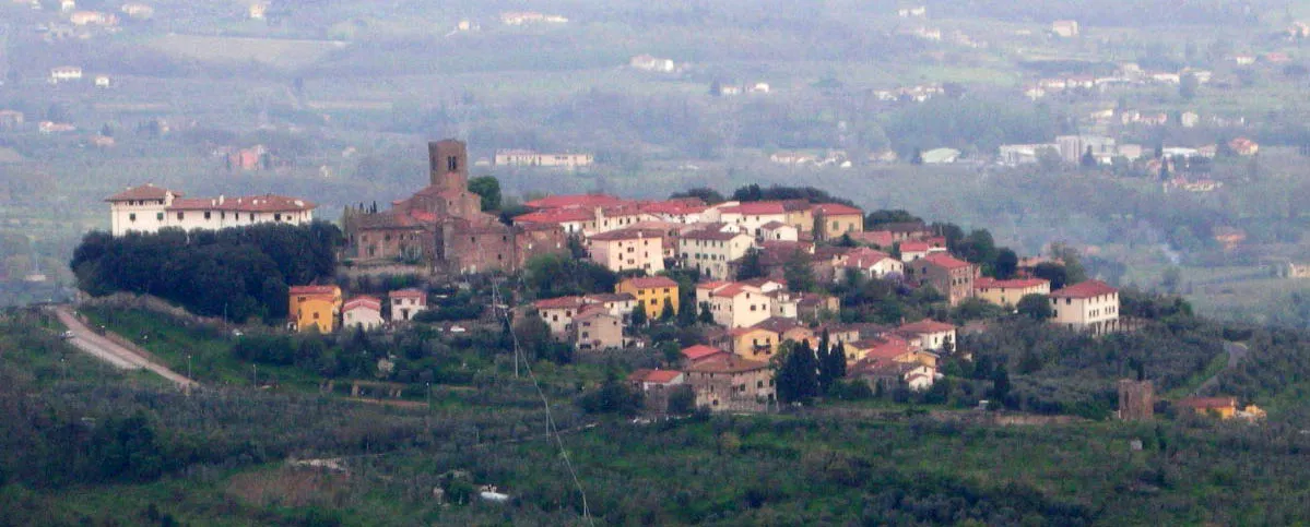
Chiesina Uzzanese ist eine charmante Stadt in der Toskana, die von Radfahrern wegen ihrer ruhigen Straßen und hügeligen Landschaft geschätzt wird. Die Gegend eignet sich gut für gemütliche Touren oder anspruchsvolle Anstiege.
![Karten-Miniaturansicht der Radinspiration "Fahrradtour nach Torretta di Porcari und Monte Castellaccio" in Toscana, Italy. Erstellt vom Tarmacs.app-Routenplaner für Radtouren](https://images.tarmacs.app/cycling-routes/routemaps/600/italy/toscana/chiesina-uzzanese/road/96696.webp)
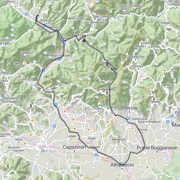
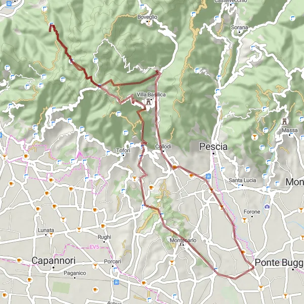
Entdecken Sie Torretta di Porcari und Monte Castellaccio auf dieser 93 km langen Radtour
Die Route führt über 1332 Höhenmeter und bietet Highlights wie Borgo a Mozzano und den Colle dello Spicchio. Villa Basilica und Chiesina Uzzanese sind charmante Zwischenstopps auf dem Weg. Der Blick vom Colle dello Spicchio wird Sie begeistern, bevor es zurück nach Chiesina Uzzanese geht.
![Karten-Miniaturansicht der Radinspiration "Hügel und Täler der Toskana" in Toscana, Italy. Erstellt vom Tarmacs.app-Routenplaner für Radtouren](https://images.tarmacs.app/cycling-routes/routemaps/600/italy/toscana/chiesina-uzzanese/gravel/96746.webp)
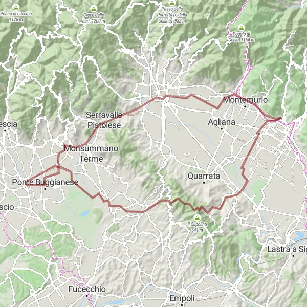
Eine 89 km lange Schotterroute durch die malerischen Hügel und Täler der Toskana.
Mit einem anspruchsvollen Aufstieg von 782 m bietet diese Strecke Abenteuer und Naturerlebnisse. Die Route führt von Montecatini Terme über Pistoia, Montemurlo, Seano, Porciano und endet in Chiesina Uzzanese. Ein Muss für erfahrene Radfahrer!
Pescias Panorama
![Karten-Miniaturansicht der Radinspiration "Pescias Panorama" in Toscana, Italy. Erstellt vom Tarmacs.app-Routenplaner für Radtouren](https://images.tarmacs.app/cycling-routes/routemaps/600/italy/toscana/chiesina-uzzanese/road/96747.webp)
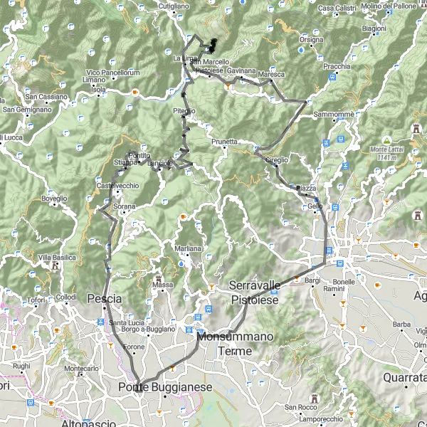
Eine 117 km lange Straßenrundfahrt mit atemberaubenden Ausblicken und anspruchsvollen Anstiegen.
Diese herausfordernde Route führt von Pescia über San Quirico, Monte Perdoni, Piteglio, Monte Castello, San Marcello Pistoiese, Campo Tizzoro, Poggio Posolata, Poggio Trabolduccio, Capostrada und endet in Pieve a Nievole. Mit 2741 m Aufstieg eine echte Herausforderung für ambitionierte Radfahrer!
![Karten-Miniaturansicht der Radinspiration "Rundtour um Santa Croce sull'Arno und Palaia" in Toscana, Italy. Erstellt vom Tarmacs.app-Routenplaner für Radtouren](https://images.tarmacs.app/cycling-routes/routemaps/600/italy/toscana/chiesina-uzzanese/road/96695.webp)
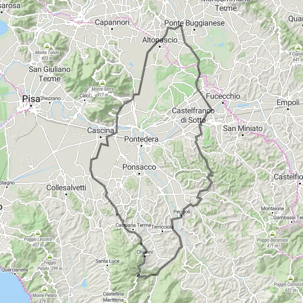
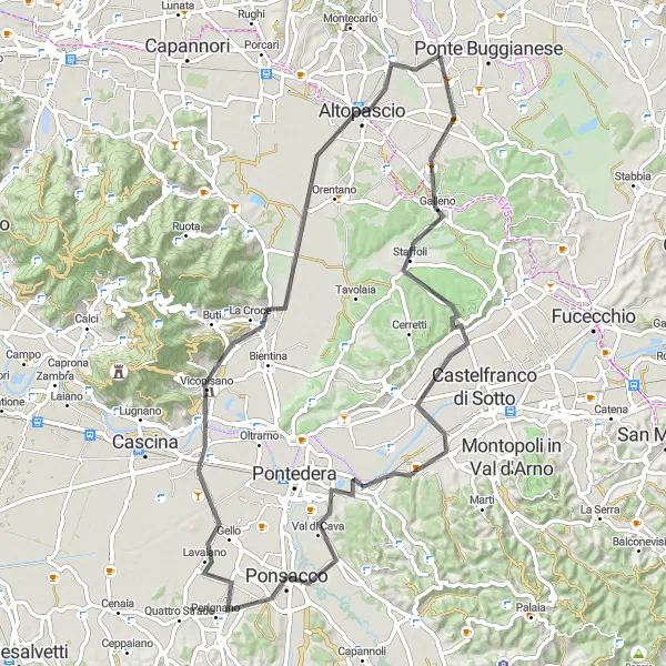
Genießen Sie eine 128 km lange Radtour durch Santa Croce sull'Arno und Palaia
Diese Route führt Sie auf 1305 m Polgonne und bietet Highlights wie Rocca di Palaia und die Panorama-Aussicht vom Punkt Palaia. Peccioli und Chianni sind charmante Orte, die Sie entlang des Weges besuchen können. Die Sassi Bianchi sind ein faszinierendes geologisches Phänomen, das Sie nicht verpassen sollten. Altopascio ist der ideale Ort für eine Rast, bevor es zurück nach Chiesina Uzzanese geht.
Auf den Spuren von Lastra a Signa
![Karten-Miniaturansicht der Radinspiration "Auf den Spuren von Lastra a Signa" in Toscana, Italy. Erstellt vom Tarmacs.app-Routenplaner für Radtouren](https://images.tarmacs.app/cycling-routes/routemaps/600/italy/toscana/chiesina-uzzanese/road/96690.webp)
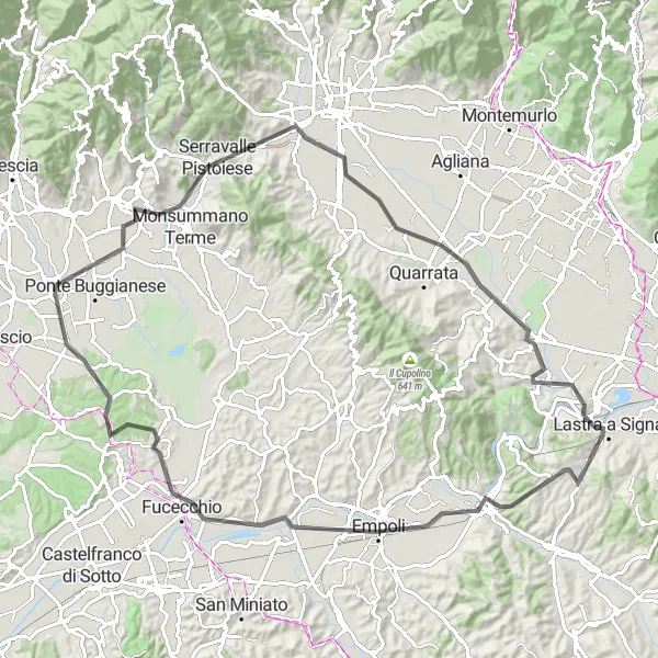
Genießen Sie auf dieser 94 km langen Straßenroute mit 534 m Aufstieg die Highlights entlang des Weges.
Fahren Sie durch charmante toskanische Städte, entdecken Sie historische Sehenswürdigkeiten und erleben Sie die Kultur der Region. Die Route bietet abwechslungsreiche Landschaften und ein unvergessliches Fahrerlebnis für Straßenradler.
![Karten-Miniaturansicht der Radinspiration "Geheime Wege der Toskana" in Toscana, Italy. Erstellt vom Tarmacs.app-Routenplaner für Radtouren](https://images.tarmacs.app/cycling-routes/routemaps/600/italy/toscana/chiesina-uzzanese/gravel/96684.webp)
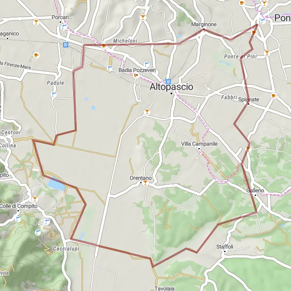
Eine 39 km lange Schotterroute durch versteckte Wege und Dörfer der Toskana.
Mit nur 91 m Aufstieg bietet diese Strecke eine entspannte Fahrt durch die ländliche Umgebung. Von Galleno über Caccialupi bis nach Marginone führt die Tour durch charmante Orte und versteckte Schönheiten der Region.
Toskanische Hügel
![Karten-Miniaturansicht der Radinspiration "Toskanische Hügel" in Toscana, Italy. Erstellt vom Tarmacs.app-Routenplaner für Radtouren](https://images.tarmacs.app/cycling-routes/routemaps/600/italy/toscana/chiesina-uzzanese/gravel/96680.webp)
Eine 64 km lange Schotterroute durch die toskanische Landschaft und Dörfer.
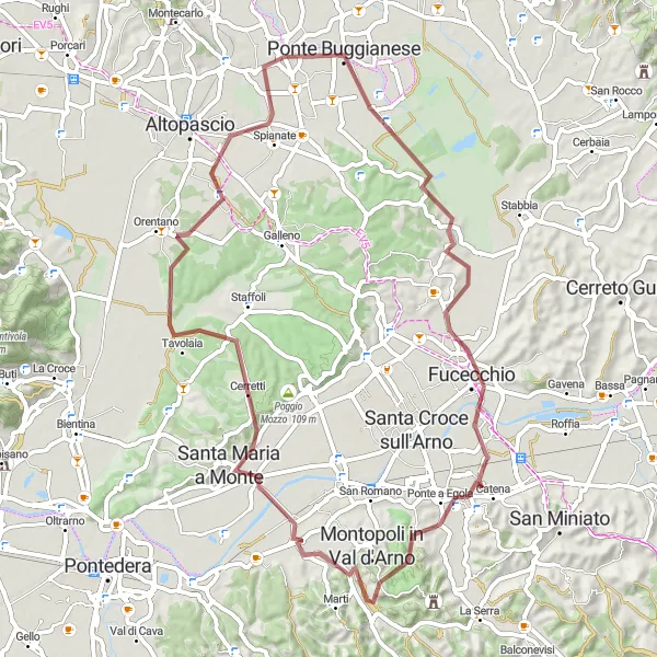
Mit einem Anstieg von 410 m bietet diese Tour sowohl Herausforderung als auch atemberaubende Ausblicke. Von Chiesina Uzzanese aus führt die Route über Fucecchio, Ponte a Egola, Santa Maria a Monte, Villa Campanile und endet in Michi.
![Karten-Miniaturansicht der Radinspiration "Rundfahrt durch Galleno und Poggio Mozzo" in Toscana, Italy. Erstellt vom Tarmacs.app-Routenplaner für Radtouren](https://images.tarmacs.app/cycling-routes/routemaps/600/italy/toscana/chiesina-uzzanese/road/96740.webp)
Erkunden Sie die Hügel von Galleno und Poggio Mozzo auf dieser 75 km langen Radtour
Die Tour bietet atemberaubende Ausblicke auf die toskanische Landschaft und führt Sie durch charmante Dörfer wie Ponsacco und Vicopisano. Der Anstieg von 288 m über den Monte Roncali wird mit einem fantastischen Panorama belohnt. Altopascio ist ideal für eine Pause, bevor es zurück nach Chiesina Uzzanese geht.
Tour de Arno
![Karten-Miniaturansicht der Radinspiration "Tour de Arno" in Toscana, Italy. Erstellt vom Tarmacs.app-Routenplaner für Radtouren](https://images.tarmacs.app/cycling-routes/routemaps/600/italy/toscana/chiesina-uzzanese/road/96689.webp)
Entdecken Sie die Schönheit des Flusses Arno auf dieser 47 km langen Straßenradtour.
Die Route führt durch malerische Dörfer wie Ponte a Cappiano und endet in Chiesina Uzzanese. Mit nur 232 m Aufstieg ist dies eine entspannte Strecke für alle Radfahrer.
![Karten-Miniaturansicht der Radinspiration "Radtour nach Monte Crocefisso" in Toscana, Italy. Erstellt vom Tarmacs.app-Routenplaner für Radtouren](https://images.tarmacs.app/cycling-routes/routemaps/600/italy/toscana/chiesina-uzzanese/gravel/96720.webp)
Entdecken Sie die Schönheit von Monte Crocefisso auf dieser 57 km langen Gravelroute mit 1557 m Aufstieg.
Erleben Sie atemberaubende Ausblicke, während Sie durch malerische Dörfer fahren und die Natur der Toskana genießen. Die Route führt vorbei an historischen Sehenswürdigkeiten und bietet ein unvergessliches Erlebnis für Gravel-Enthusiasten.
In der Nähe befinden sich Fahrradrouten:
![Bild von Ponte Buggianese](https://images.tarmacs.app/cycling-routes/covers/italy/toscana/ponte-buggianese-2.webp)
![Bild von Borgo a Buggiano](https://images.tarmacs.app/cycling-routes/covers/italy/toscana/borgo-a-buggiano-2.webp)
![Bild von Altopascio](https://images.tarmacs.app/cycling-routes/covers/italy/toscana/altopascio-5.webp)
![Bild von Pescia](https://images.tarmacs.app/cycling-routes/covers/italy/toscana/pescia-4.webp)
![Bild von Montecatini-Terme](https://images.tarmacs.app/cycling-routes/covers/italy/toscana/montecatini-terme-4.webp)
![Bild von Pieve a Nievole](https://images.tarmacs.app/cycling-routes/covers/italy/toscana/pieve-a-nievole-5.webp)
![Bild von Monsummano Terme](https://images.tarmacs.app/cycling-routes/covers/italy/toscana/monsummano-terme-5.webp)
![Bild von Orentano](https://images.tarmacs.app/cycling-routes/covers/italy/toscana/orentano-5.webp)
Benachbarte Regionen:
![Bild von Corse](https://images.tarmacs.app/cycling-routes/covers/france/corse/vescovato-3.webp)
![Bild von Piemont](https://images.tarmacs.app/cycling-routes/covers/italy/piemonte/briga-novarese-5.webp)
![Bild von Ligurien](https://images.tarmacs.app/cycling-routes/covers/italy/liguria/santo-stefano-di-magra-4.webp)
![Bild von Lombardei](https://images.tarmacs.app/cycling-routes/covers/italy/lombardia/lierna-3.webp)
![Bild von Abruzzo](https://images.tarmacs.app/cycling-routes/covers/italy/abruzzo/cerchio-3.webp)
![Bild von Autonome Provinz Trient](https://images.tarmacs.app/cycling-routes/covers/italy/provincia-autonoma-di-trento/tassullo-5.webp)
![Bild von Venetien](https://images.tarmacs.app/cycling-routes/covers/italy/veneto/belvedere-4.webp)
![Bild von Emilia-Romagna](https://images.tarmacs.app/cycling-routes/covers/italy/emilia-romagna/lesignano-de-bagni-2.webp)
![Bild von Umbria](https://images.tarmacs.app/cycling-routes/covers/italy/umbria/norcia-2.webp)
![Bild von Marken](https://images.tarmacs.app/cycling-routes/covers/italy/marche/matelica-5.webp)
![Bild von Lazio](https://images.tarmacs.app/cycling-routes/covers/italy/lazio/soriano-nel-cimino-4.webp)