Erlebe die Vielfalt von Breganze auf dem Rad
Fahrradrouten rund um Breganze
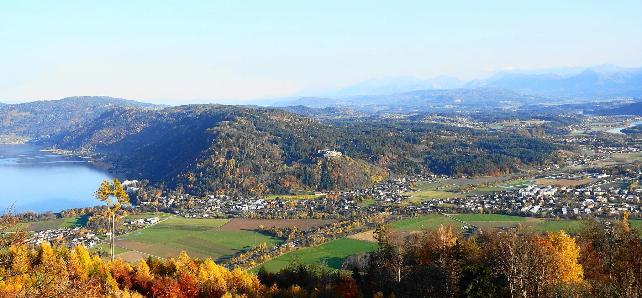
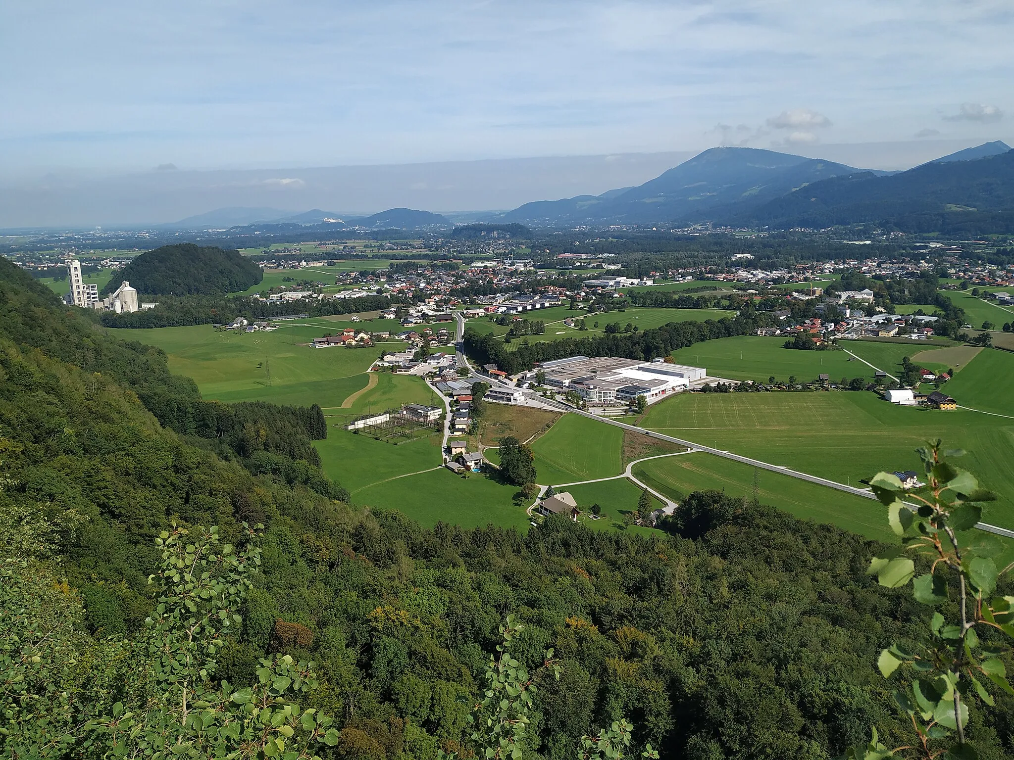
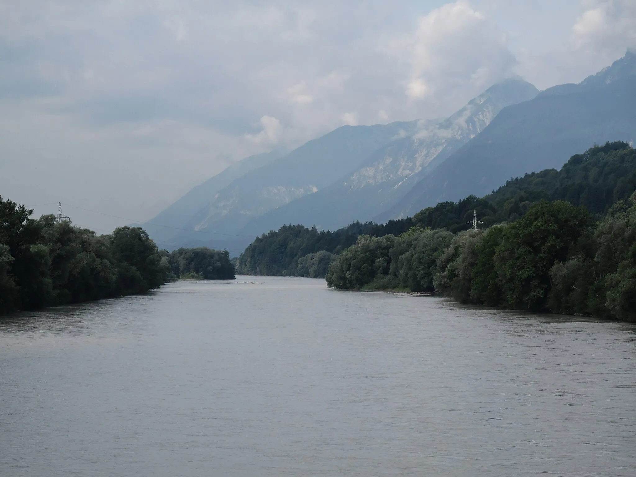
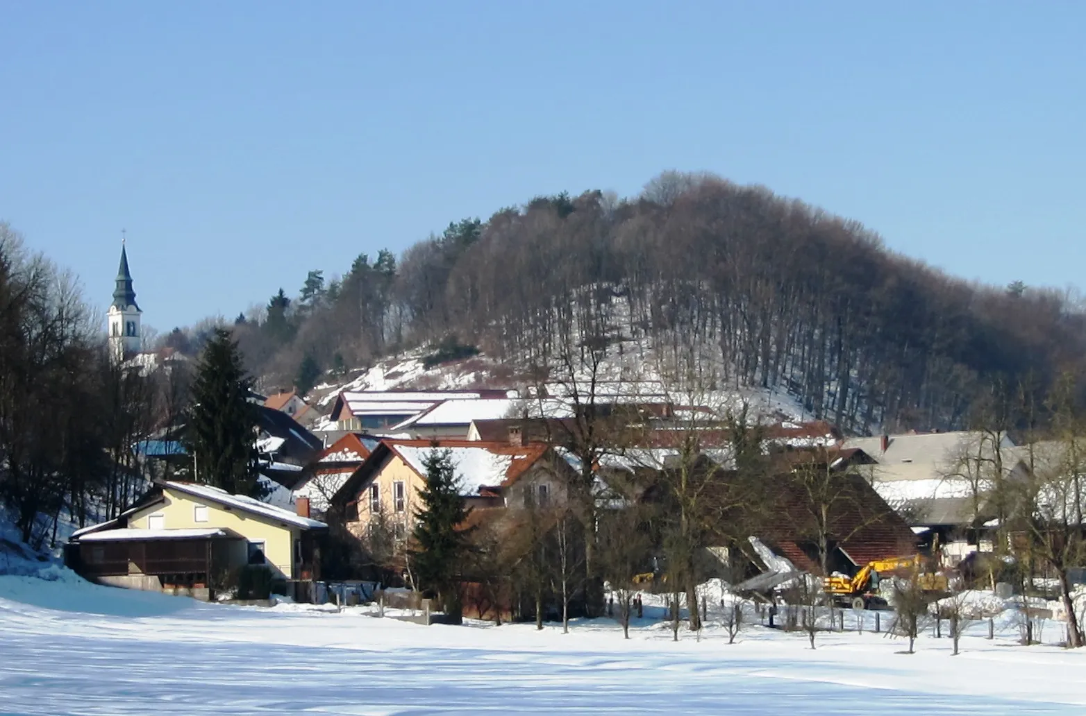
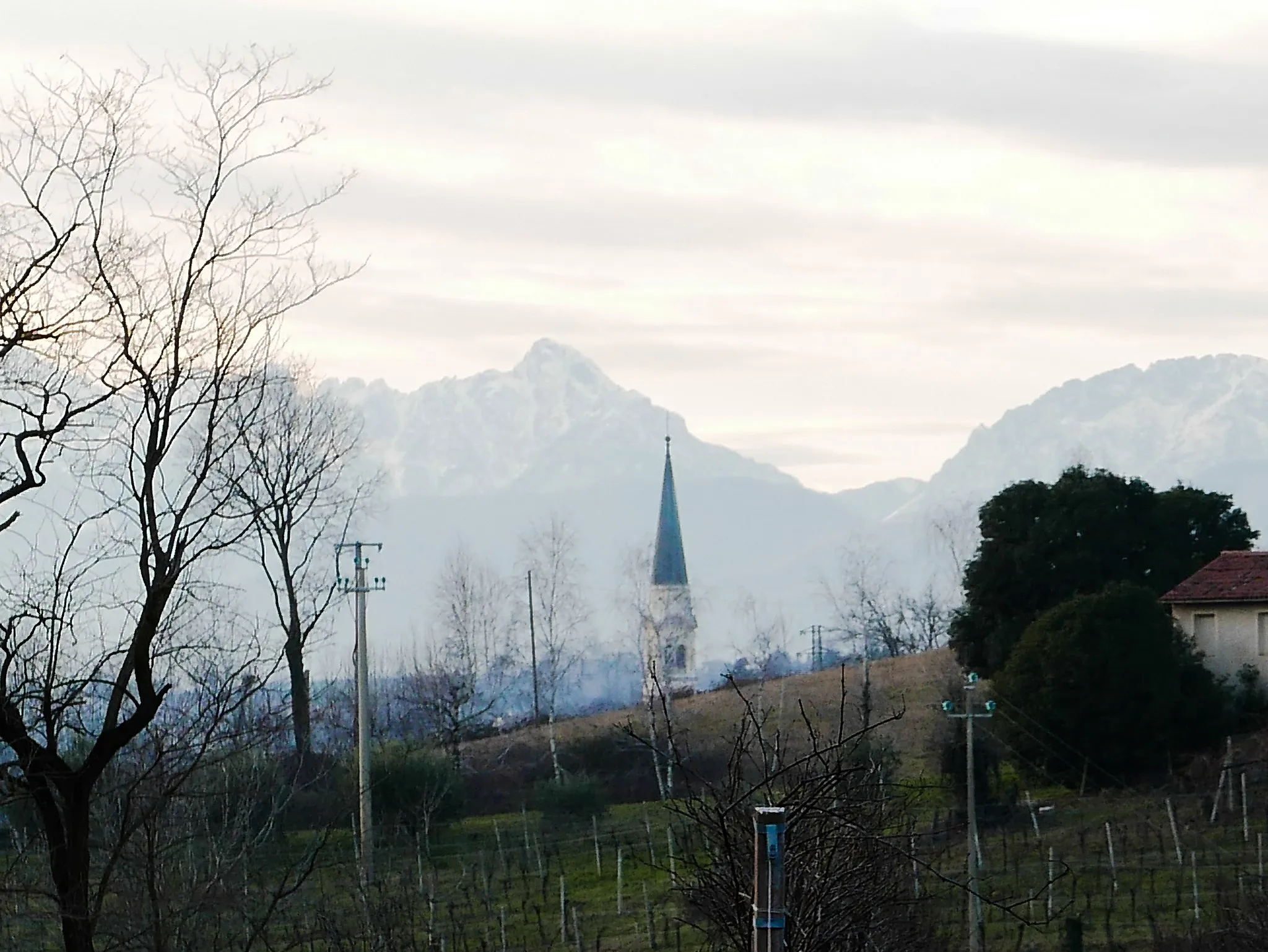
Breganze in Veneto, Italien, ist ein hervorragendes Ziel für Radfahrer. Die Gegend bietet abwechslungsreiche Strecken, die durch Weinberge und idyllische Dörfer führen. Es gibt auch einige berühmte Anstiege in der Nähe, die erfahrene Radsportler herausfordern.
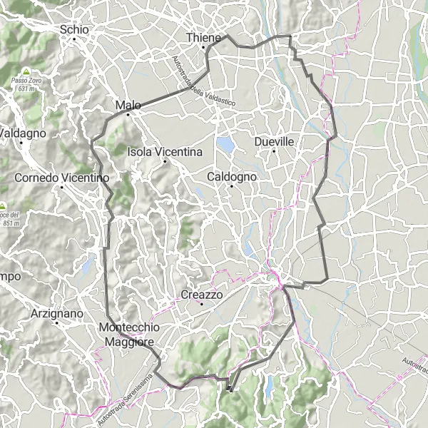
Herausforderung Vicentino
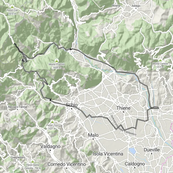
Eine anspruchsvolle Route durch die Vicentino-Region
Mit insgesamt 1771 Metern Aufstieg auf 93 Kilometern bietet diese anspruchsvolle Strecke atemberaubende Ausblicke und pittoreske Dörfer entlang des Weges.
Eine malerische Route durch die Landschaft von Breganze
Diese 66 Kilometer lange Strecke bietet eine abwechslungsreiche Landschaft von malerischen Dörfern bis hin zu grünen Hügeln, ein wahrer Genuss für Naturliebhaber und Radsportbegeisterte.
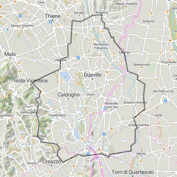
Eine kulturell bereichernde Rennradtour durch die historischen Orte des Veneto.
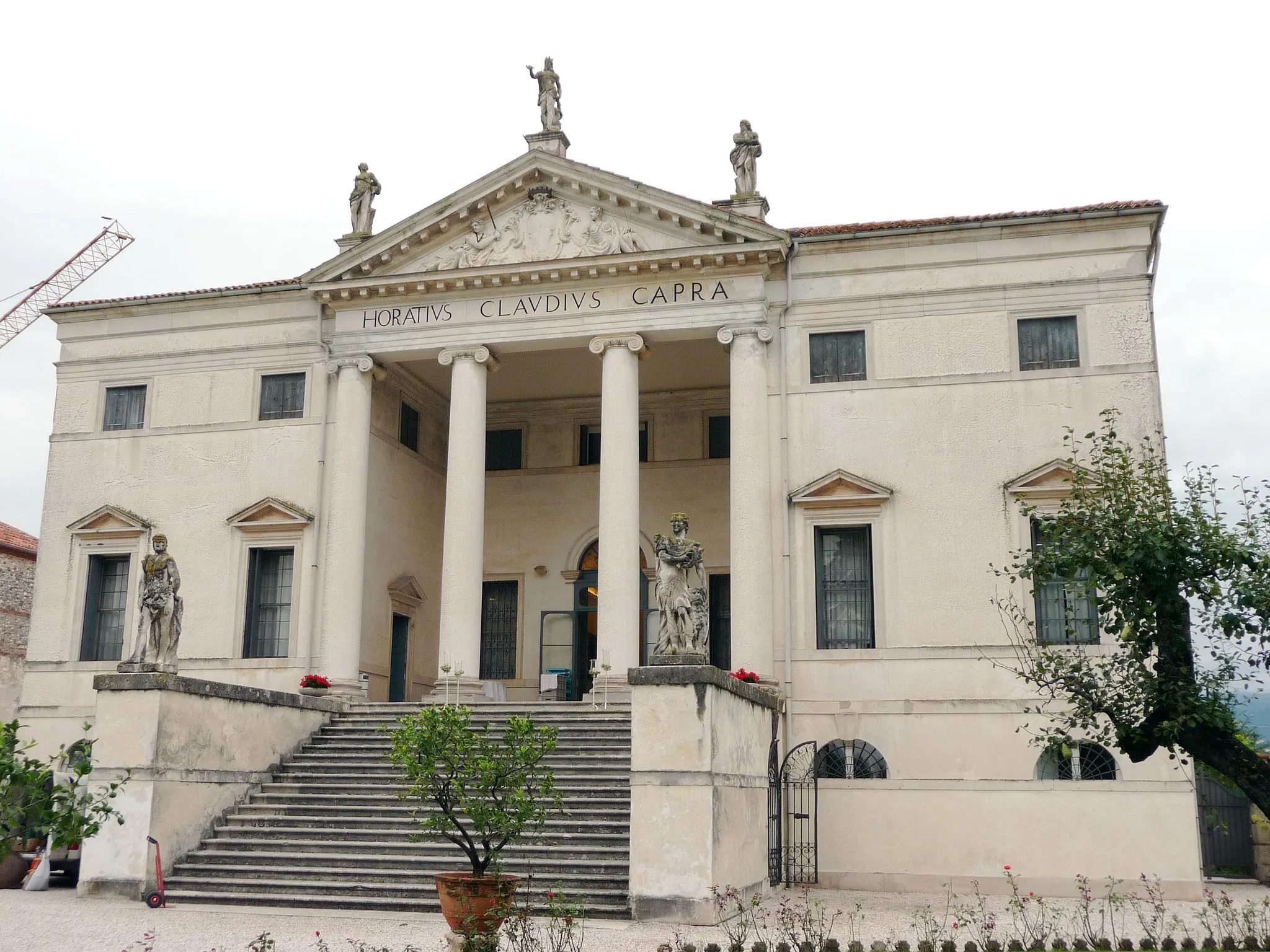
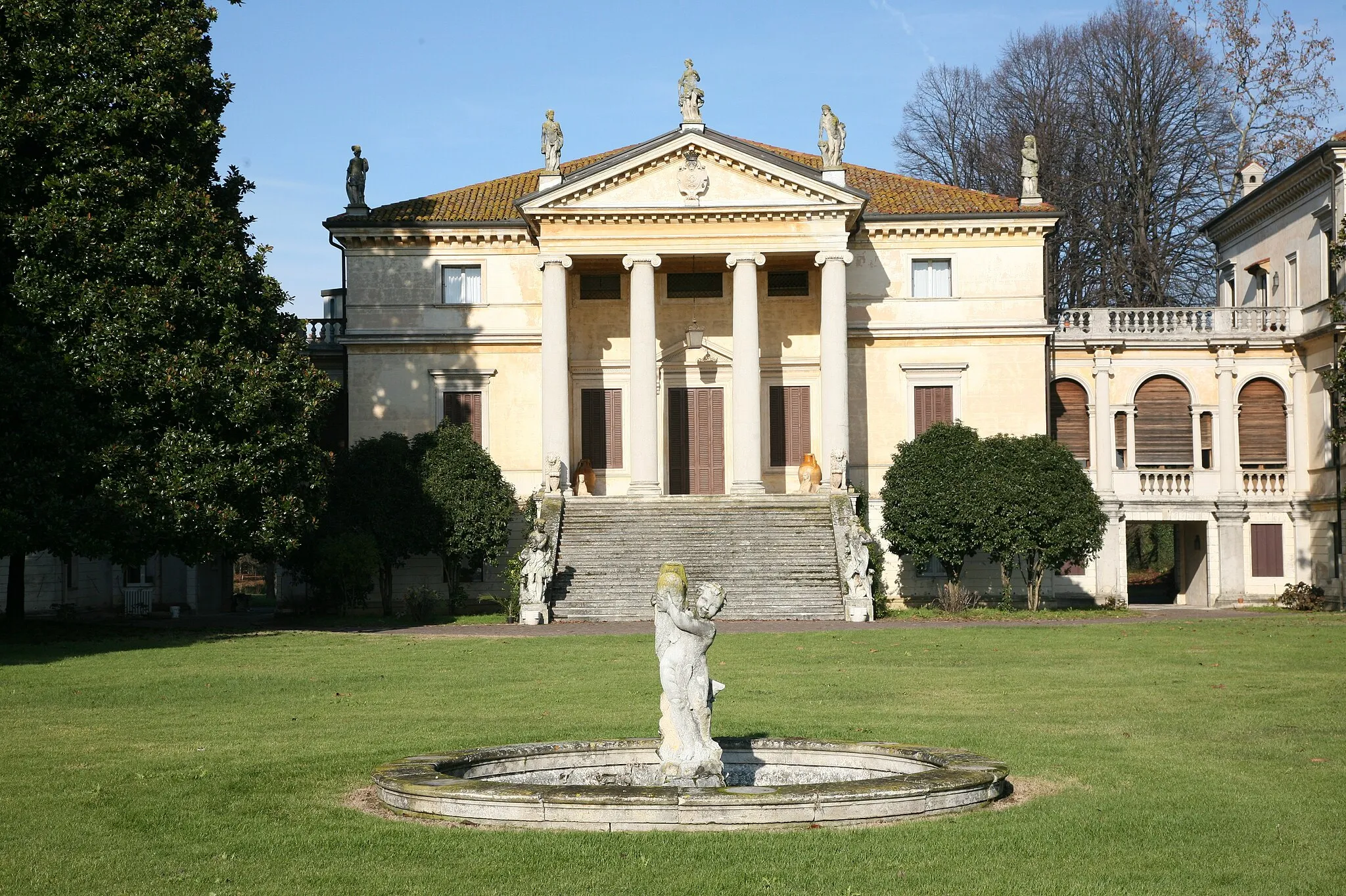
Die Route erstreckt sich über 89 km mit 560 m Aufstieg. Von Monticello Conte Otto über Villa Capra "La Rotonda" und Castelgomberto bis nach Breganze führt diese Strecke vorbei an Schlössern, Villen und historischen Sehenswürdigkeiten.
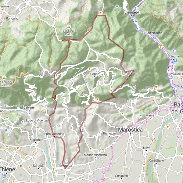
Ein Schotterabenteuer durch die Alpen von Venetien
Mit insgesamt 2190 Metern Aufstieg auf 80 Kilometern bietet diese herausfordernde Schotterstrecke endlose Wege und Trails durch die atemberaubende Berglandschaft von Veneto, ein unvergessliches Abenteuer für erfahrene Offroad-Enthusiasten.
Lugo di Vicenza-Gallio-Breganze

Eine spannende Graveltour durch die ländlichen Gebiete des Veneto.
Die Route führt über 83 km mit 2675 m Aufstieg. Von Lugo di Vicenza über Monte Cucco und Sasso bis nach Breganze bietet diese Tour einzigartige Einblicke in die natürliche Umgebung und traditionelle Dörfer der Region.
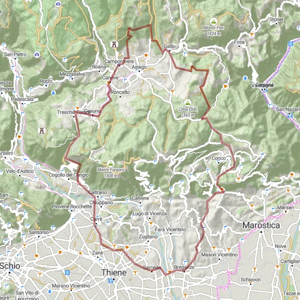
Sarcedo-Rotzo-Breganze
Eine abwechslungsreiche Rennradtour durch malerische Dörfer und entlang versteckter Pfade.
Die Route erstreckt sich über 109 km mit 2480 m Aufstieg. Von Sarcedo über Monte Agro und Monte Rasta bis nach Breganze bietet diese Strecke eine Vielzahl landschaftlicher Höhepunkte und kultureller Sehenswürdigkeiten.
Auf den Spuren der Vicentino-Geschichte

Eine kulturelle Fahrt durch die Geschichte von Vicenza
Mit insgesamt 1484 Metern Aufstieg auf 90 Kilometern schlängelt sich diese Route durch die malerischen Dörfer und historischen Sehenswürdigkeiten der Vicentino-Region, ein einzigartiges Erlebnis für Kultur- und Geschichtsinteressierte Radfahrer.
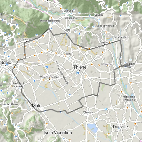
Eine gemütliche Rennradtour durch die ländlichen Gebiete des Veneto.
Die Route führt über 51 km mit 353 m Aufstieg. Von Malo über Monte Zavagnin bis nach Breganze bietet diese Strecke eine entspannte Fahrt durch charmante Dörfer und malerische Landschaften.
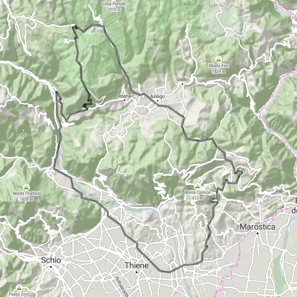
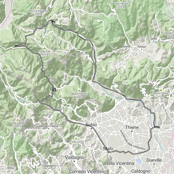
Gravel-Abenteuer am Monte Tena
Eine aufregende Schotterroute durch die Bergwelt
Mit insgesamt 1789 Metern Aufstieg auf 57 Kilometern ist dieses Gravel-Abenteuer eine epische Herausforderung für erfahrene Radfahrer, die die wilde Natur und die Bergausblicke lieben.
Eine beeindruckende Rennradtour durch die Täler und Bergpässe der Region.
Die Route führt über insgesamt 141 km und beinhaltet 3366 m Aufstieg. Von Montecio über Passo della Borcola und Folgaria bis zum Ziel in Breganze erleben Sie atemberaubende Landschaften und anspruchsvolle Anstiege.
In der Nähe befinden sich Fahrradrouten:
Benachbarte Regionen: