Vielfältige Radstrecken durch malerische Dörfer
Fahrradrouten rund um Montorso Vicentino
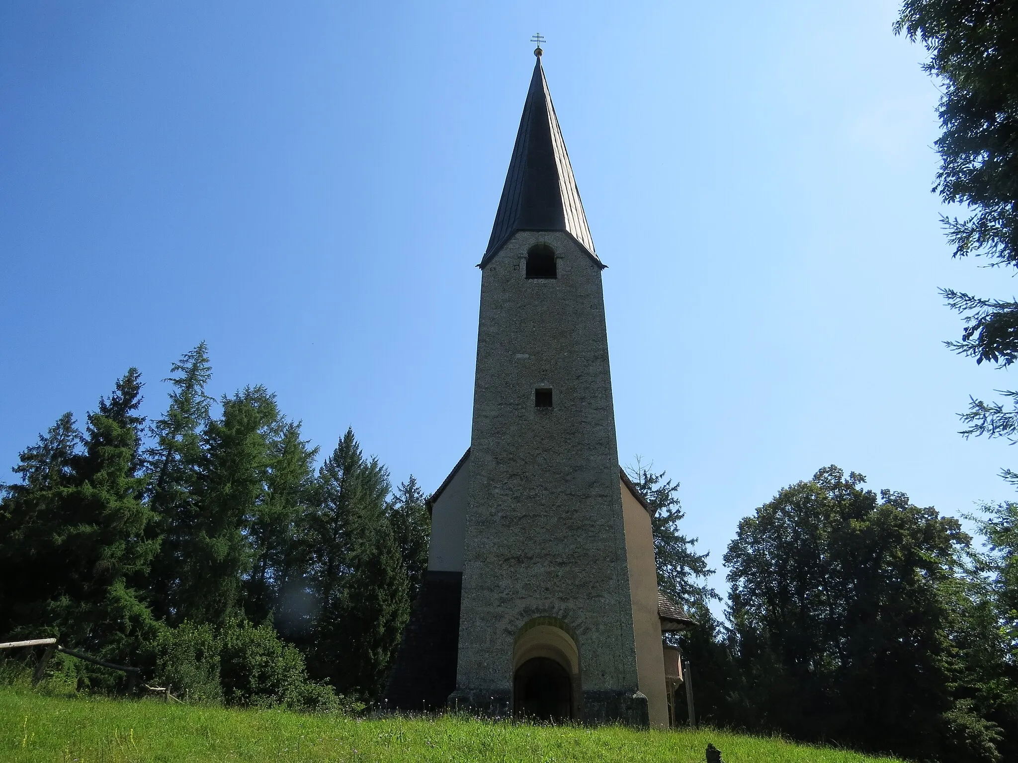
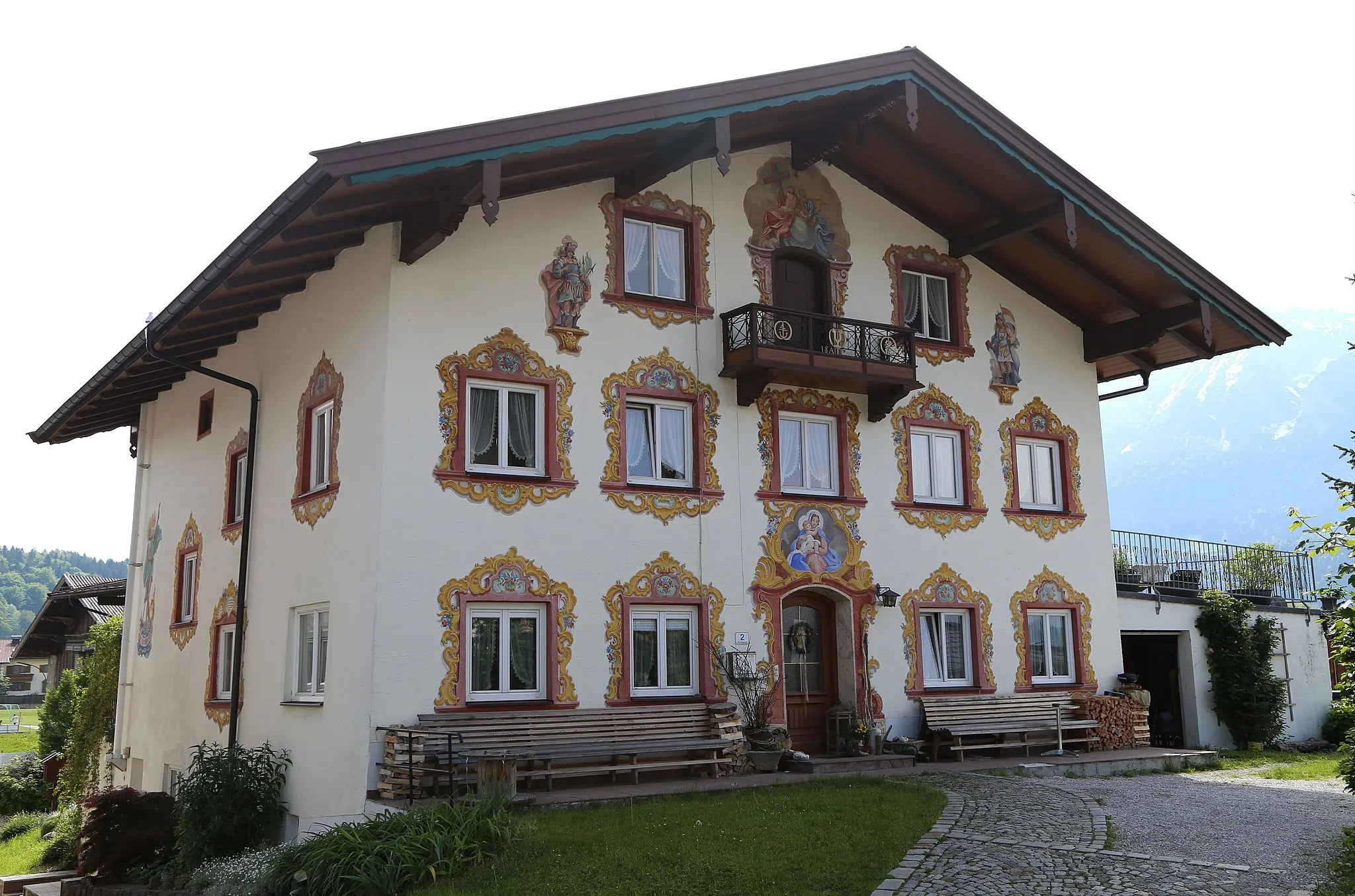
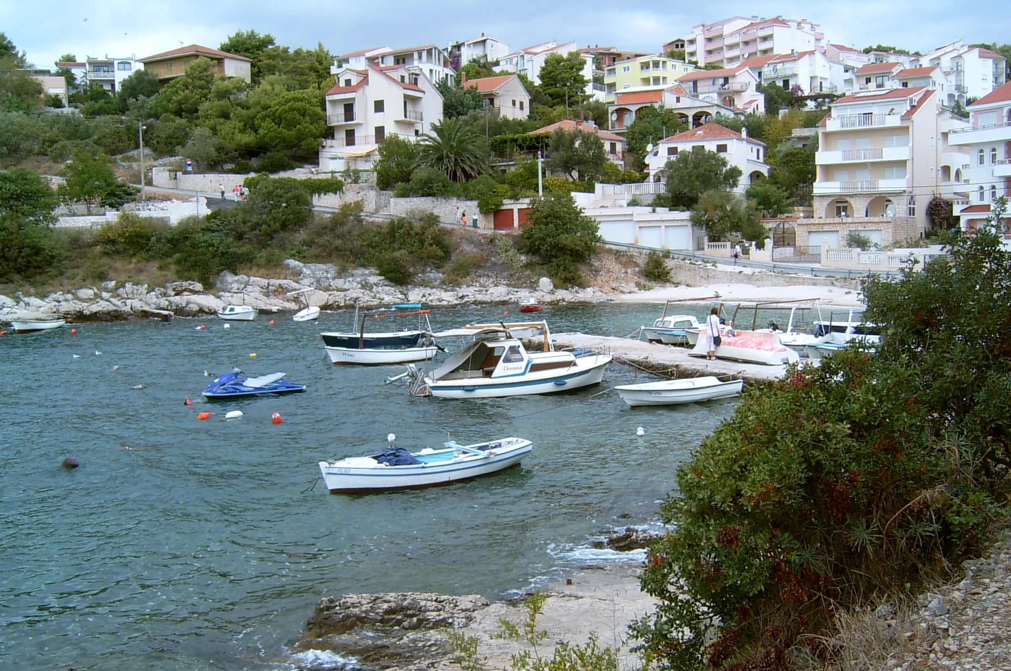
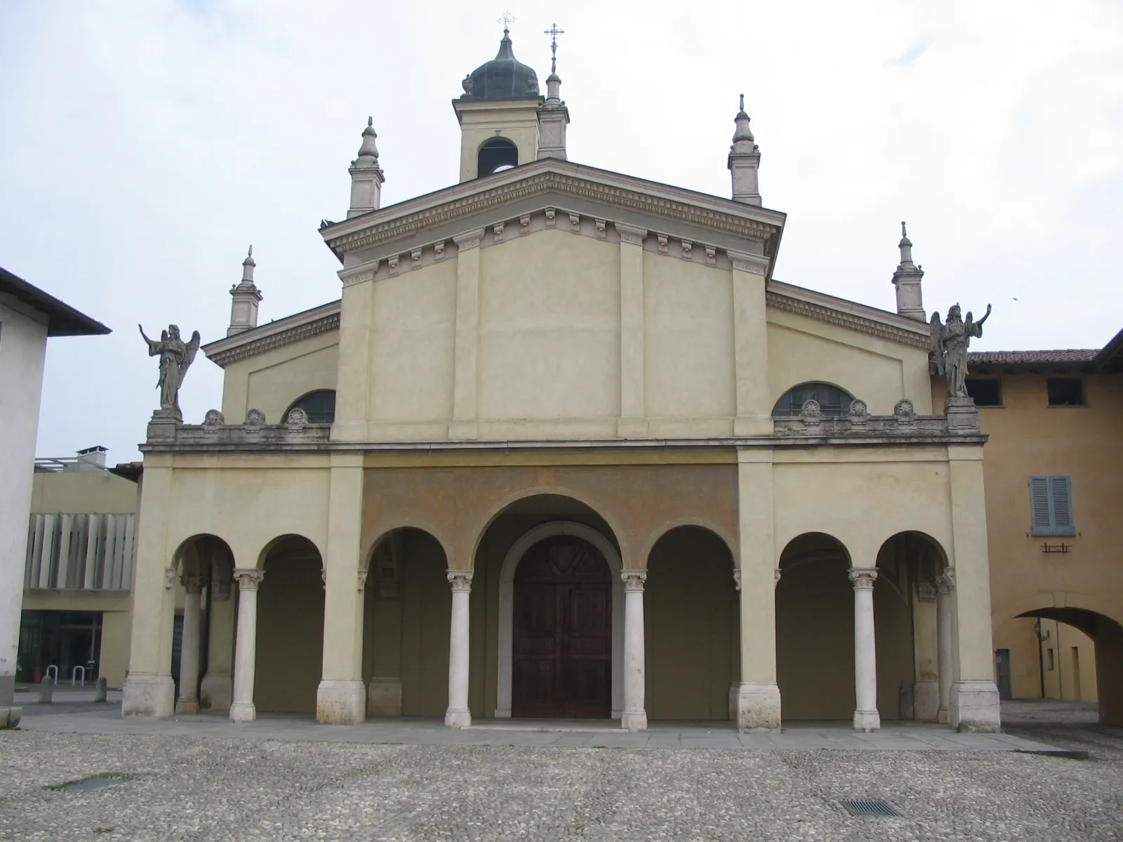
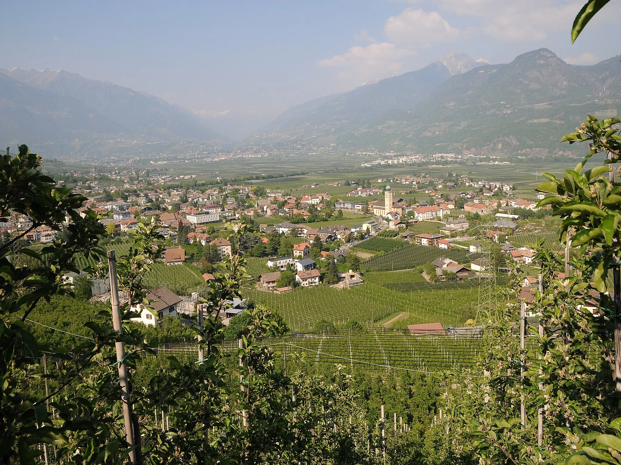
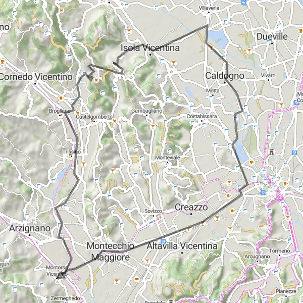
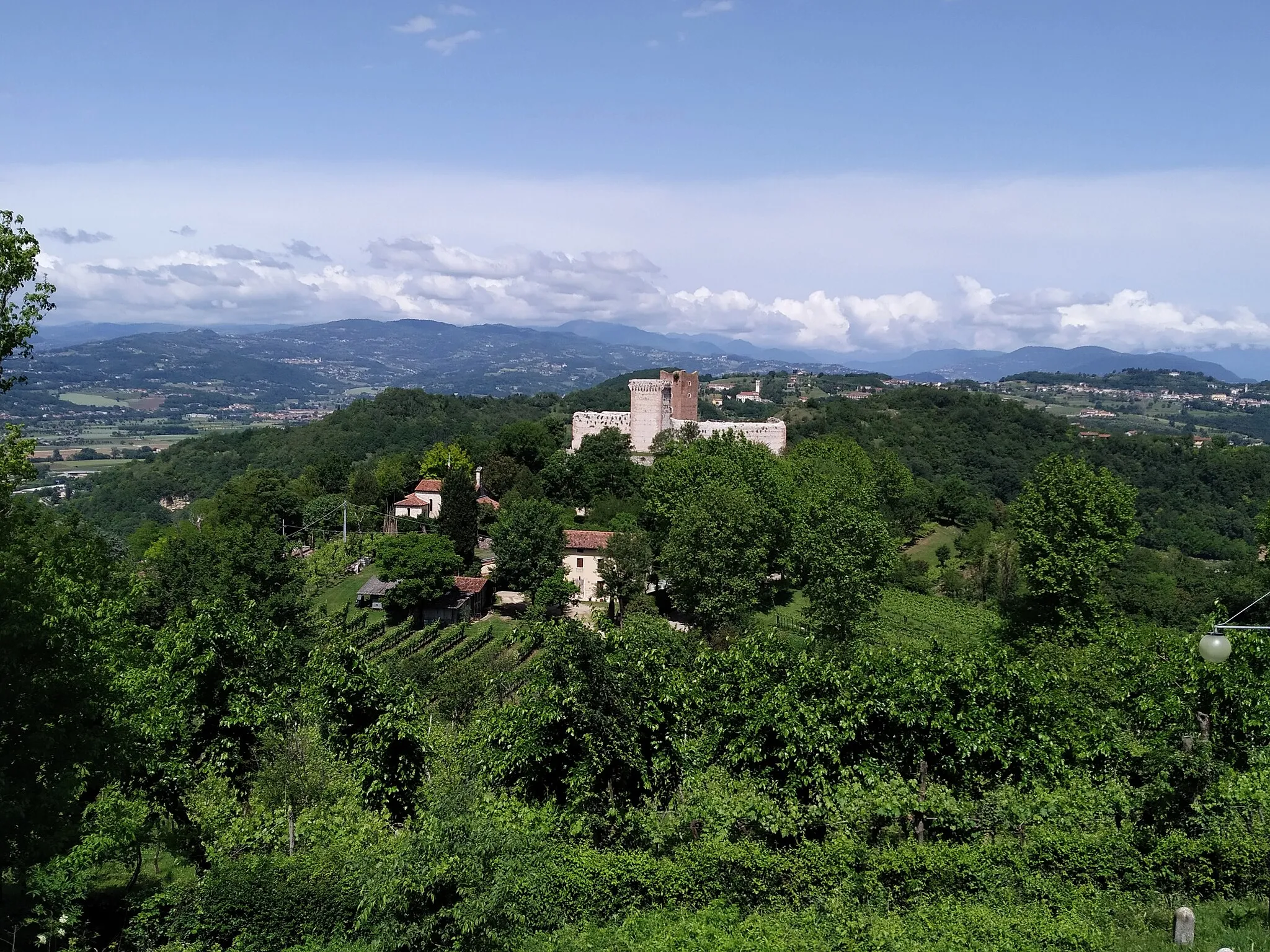
Montorso Vicentino in Veneto, Italien, bietet Radfahrern eine Vielzahl von Strecken durch malerische Dörfer und Weinberge. Die Straßen sind gut ausgebaut und eignen sich sowohl für gemütliche Touren als auch für anspruchsvolle Trainingsfahrten. Bekannte Anstiege in der Nähe sind der Monte Berico und der Monte Salvi.
Eine 85 km lange Straßenroute durch idyllische Dörfer und malerische Landschaften.
Diese abwechslungsreiche Route führt Sie durch charmante Dörfer und bietet spektakuläre Aussichten auf die umliegende Landschaft. Erleben Sie die Schönheit der Natur und entdecken Sie kulturelle Highlights entlang des Weges.
Eine spannende Tour mit zahlreichen landschaftlichen Höhepunkten erwartet Sie.
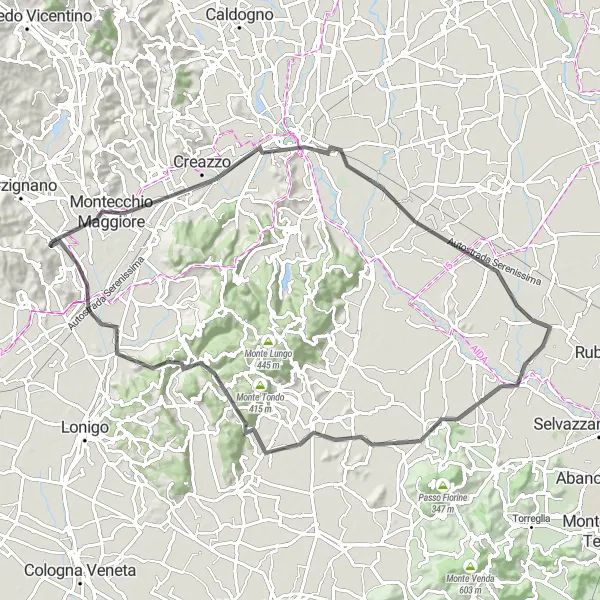
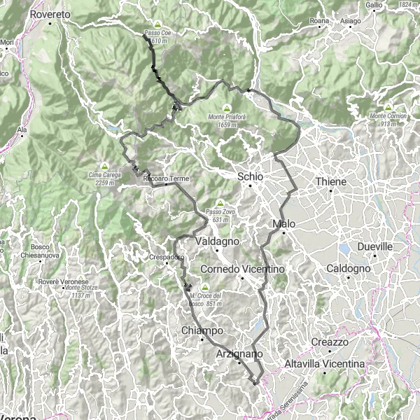
Entdecken Sie die Schönheit der Gegend auf dieser 109 km langen Strecke mit einem Anstieg von 776 m. Die Route führt Sie zu Highlights wie Lonigo, Motta della Tombola, Oppeano, Castelcerino, Motto Alto und Agugliana.
Eine 89 km lange Straßenroute mit herausfordernden Anstiegen und atemberaubenden Ausblicken.
Diese abwechslungsreiche Route führt Sie durch malerische Dörfer und bietet atemberaubende Panoramablicke. Genießen Sie die Herausforderung der Anstiege und entdecken Sie die Schönheit der Landschaft.
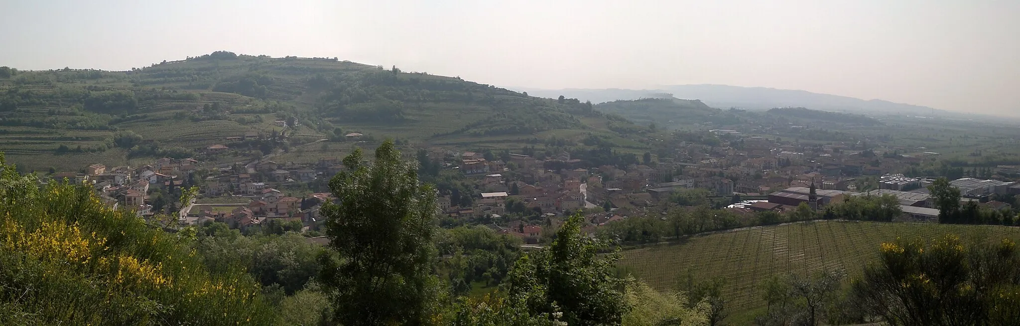
Kulturreiche Radtour durch Brogliano
Erleben Sie die Geschichte und Kultur entlang dieser 65 km langen Route.
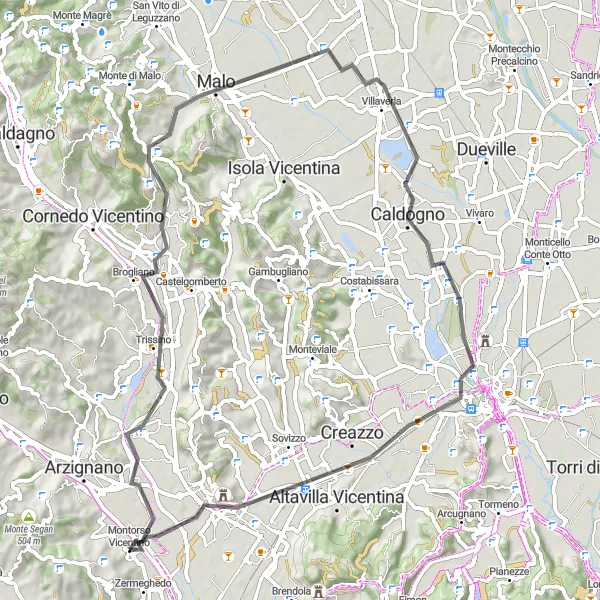
Unternehmen Sie eine radelnde Entdeckungstour durch Brogliano mit einem Aufstieg von 283 m. Besuchen Sie Highlights wie Brogliano, Montecio, Malo und Caldogno während Ihrer Fahrt.
Eine 161 km lange Straßenroute mit anspruchsvollen Anstiegen und zahlreichen Highlights.
Diese abenteuerliche Route führt Sie durch malerische Landschaften und bietet spektakuläre Ausblicke auf die Umgebung. Erleben Sie herausfordernde Anstiege und entdecken Sie die kulturellen Highlights entlang des Weges.
Eine herausfordernde Tour mit tollen Ausblicken und landschaftlicher Vielfalt erwartet Sie.
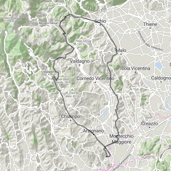
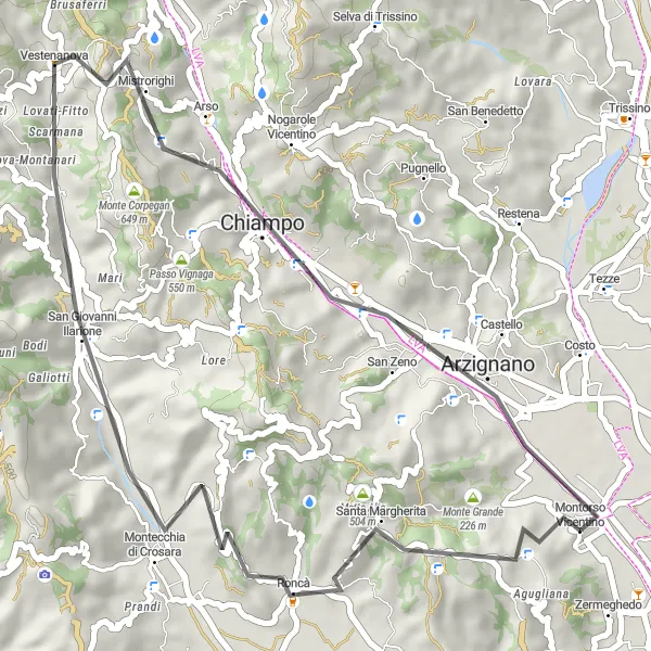
Erkunden Sie Roncà und die Umgebung auf einer 43 km langen Strecke mit einem Anstieg von 1061 m. Besuchen Sie Highlights wie Roncà, Monte Duello, San Giovanni Ilarione, Alberomato, Monte Parnese und Arzignano auf Ihrer Radtour.
Erleben Sie auf dieser 39 km langen Straßenroute spektakuläre Ausblicke und idyllische Dörfer.
Diese Route bietet eine abwechslungsreiche Landschaft mit herausragenden Aussichtspunkten und malerischen Dörfern. Genießen Sie die Ruhe der Natur und entdecken Sie die Schönheit der Umgebung.
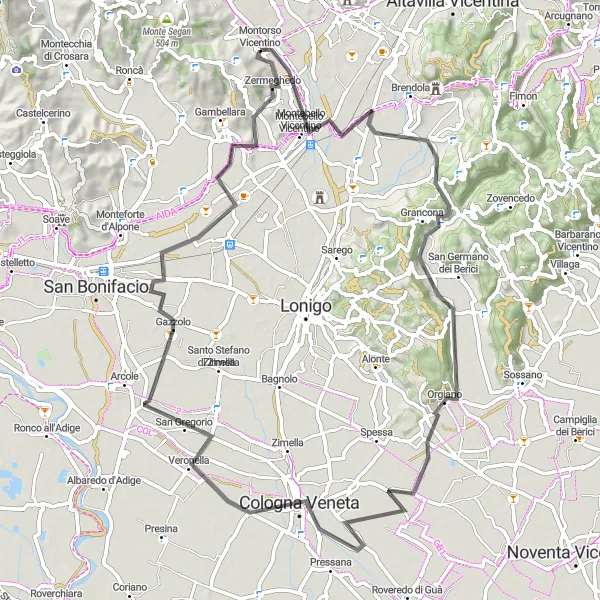
Panoramische Radtour durch Montebello Vicentino
Entdecken Sie malerische Dörfer und atemberaubende Aussichten auf dieser Strecke.
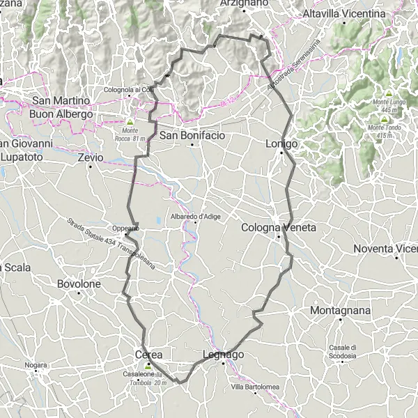
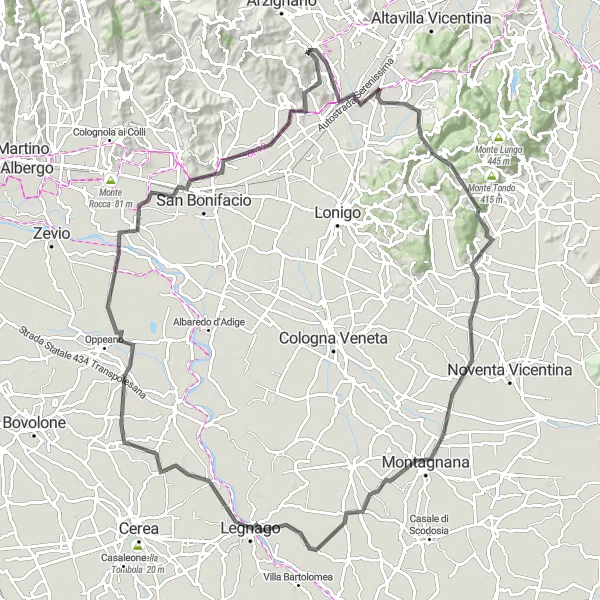
Genießen Sie eine 113 km lange Radtour mit einem Anstieg von 423 m durch Montebello Vicentino. Besuchen Sie Highlights wie Montebello Vicentino, Monte Stonegarda, Pojana Maggiore, Montagnana, Legnago, Isola Rizza, Monteforte d'Alpone und Zermeghedo entlang der Route.
Entdecken Sie auf dieser 62 km langen Straßenroute malerische Dörfer und historische Sehenswürdigkeiten.
Diese Route führt durch charmante Dörfer und bietet atemberaubende Ausblicke auf die umliegende Landschaft. Genießen Sie die malerischen Straßen und erkunden Sie kulturelle Highlights entlang des Weges.
Entdecken Sie malerische Dörfer und malerische Landschaften auf dieser Route.
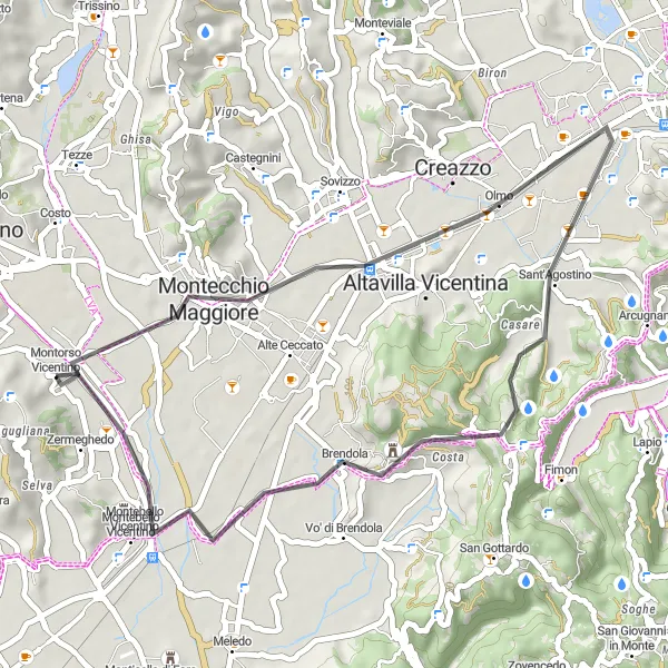
Erleben Sie eine abwechslungsreiche Radtour durch Montebello Vicentino mit insgesamt 75 km und einem Aufstieg von 365 m. Genießen Sie Highlights wie Monte Faeo, Monte delle Piume, Cologna Veneta und Zermeghedo entlang der Strecke.
In der Nähe befinden sich Fahrradrouten:


Benachbarte Regionen: