![Cover image](https://images.tarmacs.app/cycling-routes/covers/italy/veneto/sant-ambrogio-di-valpollicella-5.webp)
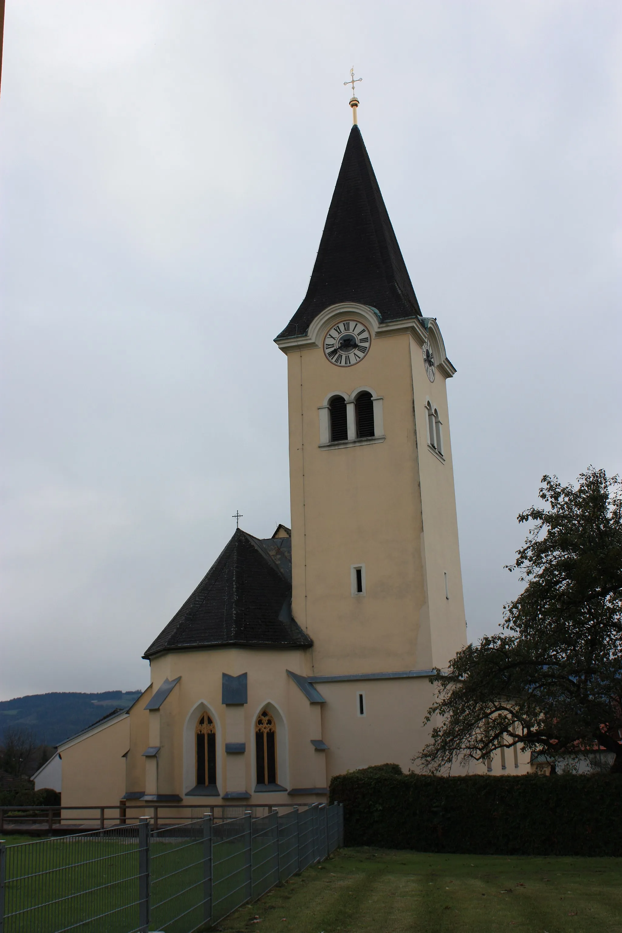
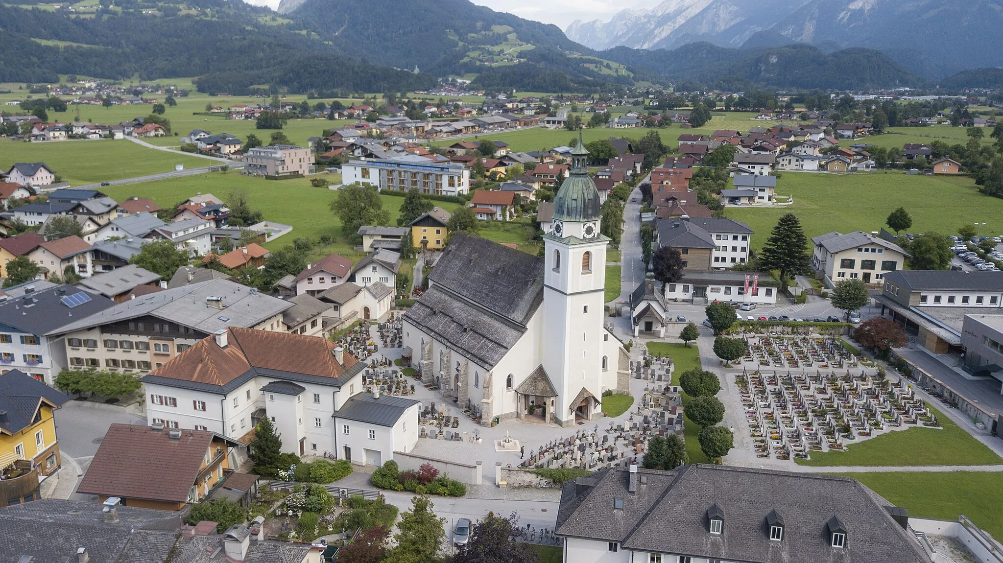
Malerisches Dorf in Veneto umgeben von Weinbergen und spektakulärer Landschaft.
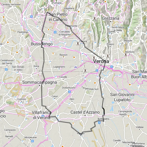
Fahrradrouten rund um Sant'Ambrogio di Valpollicella
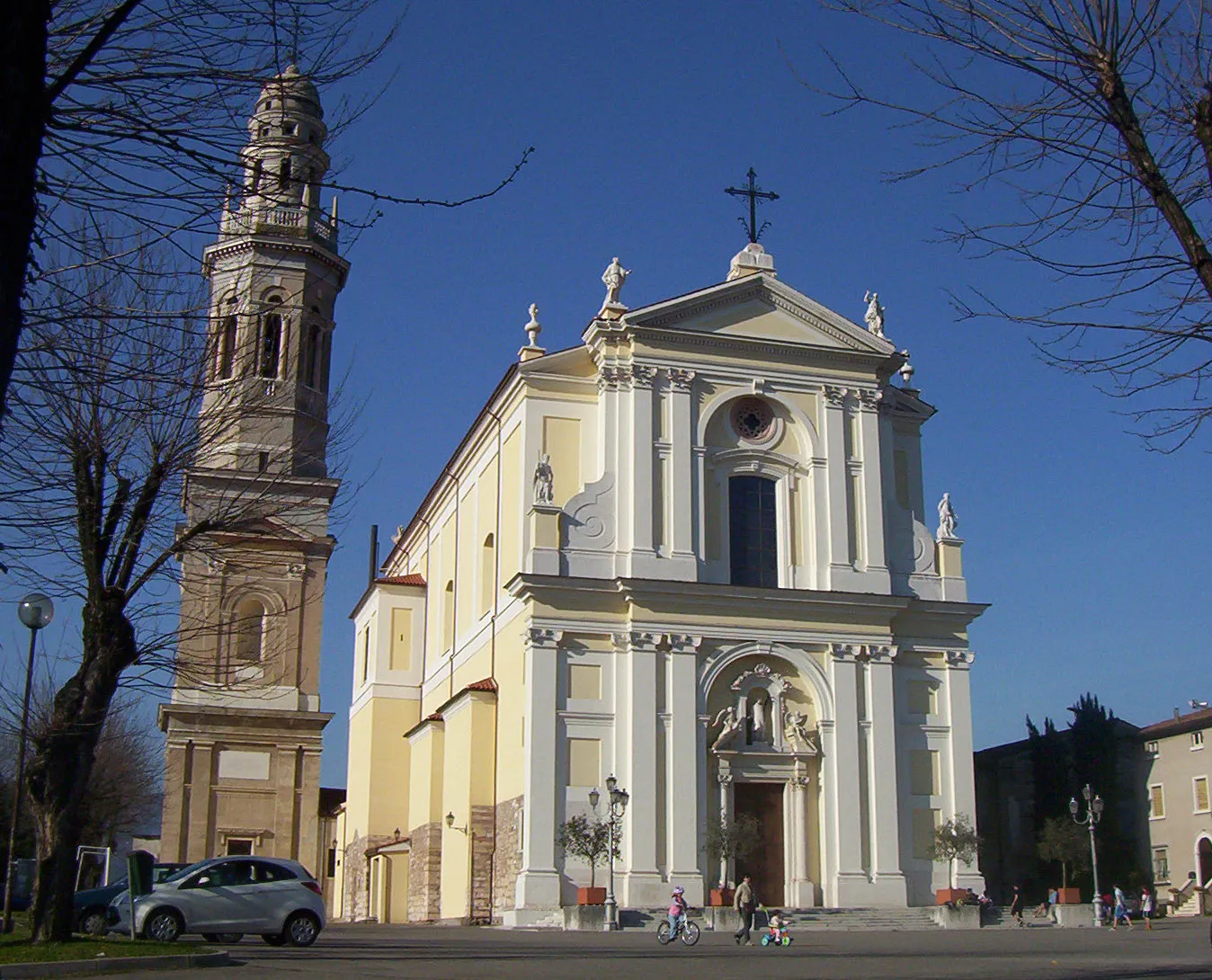
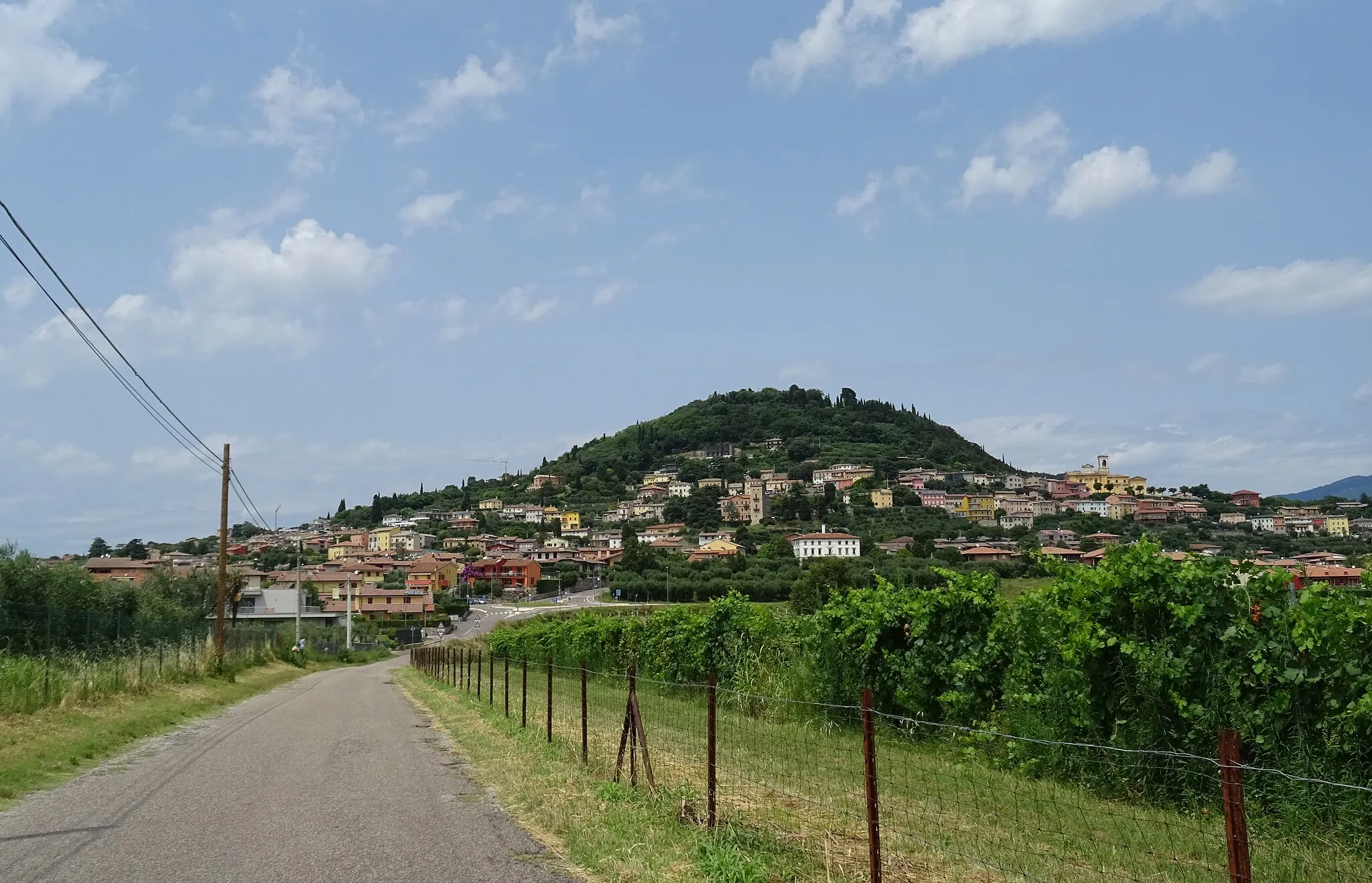
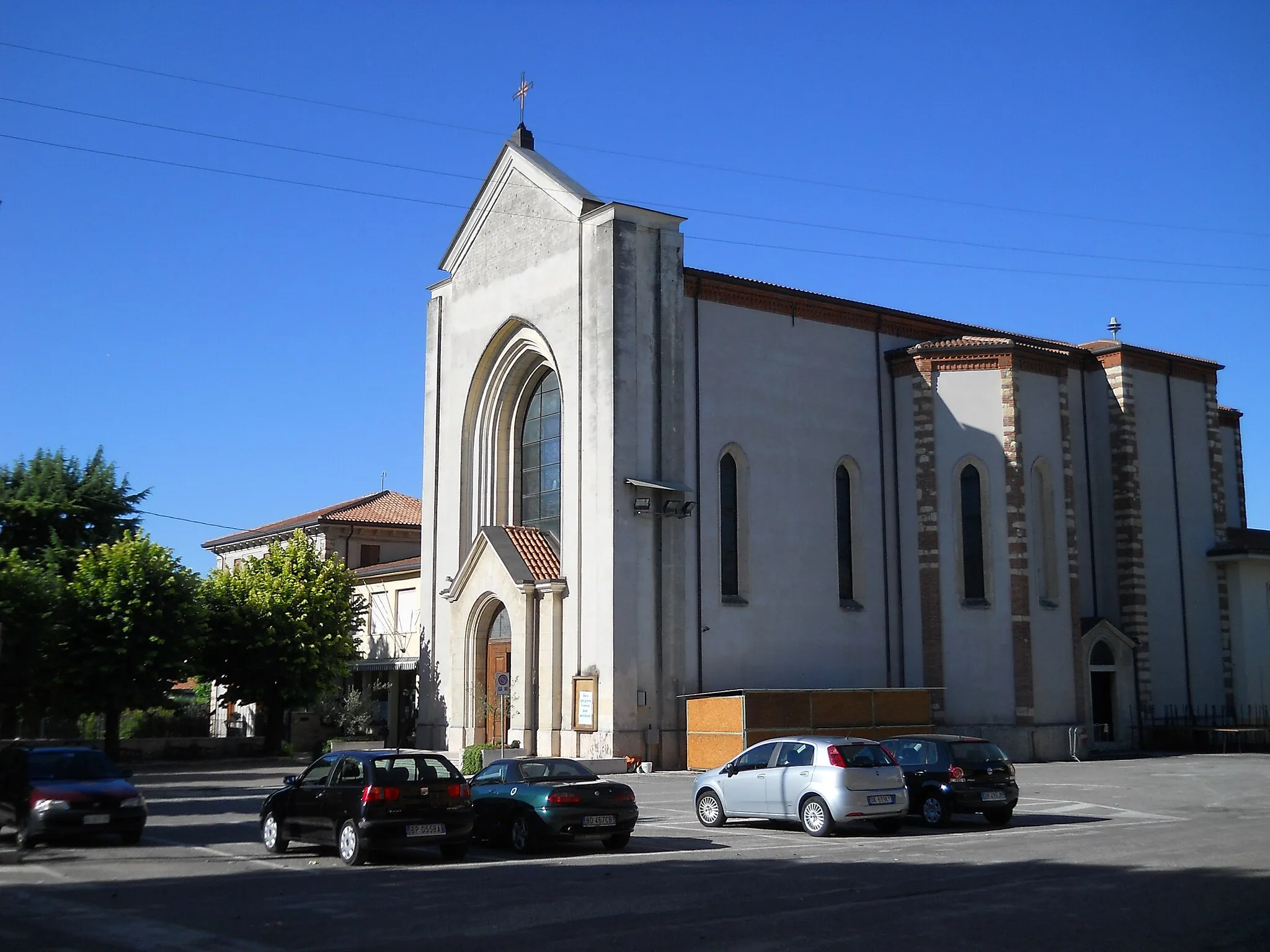
Sant'Ambrogio di Valpollicella ist ein malerisches Dorf in Veneto, Italien. Radfahrer können hier durch malerische Weinberge fahren und die atemberaubende Landschaft genießen. Die Gegend ist auch bekannt für den Anstieg zum Monte Baldo, einer berühmten Route für Radsportler. Insgesamt ein fantastisches Ziel für Radfahrer.
Faszinierende Tour um Valpolicella
![Karten-Miniaturansicht der Radinspiration "Faszinierende Tour um Valpolicella" in Veneto, Italy. Erstellt vom Tarmacs.app-Routenplaner für Radtouren](https://images.tarmacs.app/cycling-routes/routemaps/600/italy/veneto/sant-ambrogio-di-valpollicella/gravel/117970.webp)
Entdecken Sie die Schönheit von Valpolicella auf dieser abwechslungsreichen Route durch Weinberge und malerische Dörfer.
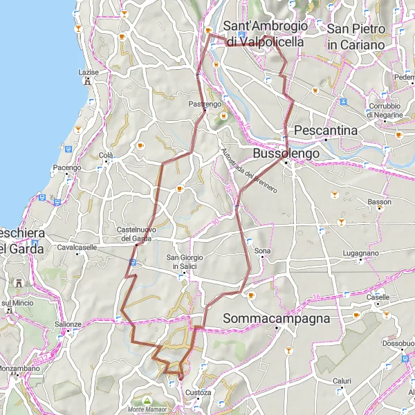
Diese 46 km lange Schotterstrecke bietet eine atemberaubende Aussicht und interessante Highlights entlang des Weges. Die Tour führt Sie durch Bussolengo, Sona, Castelnuovo del Garda und endet in Sant'Ambrogio di Valpolicella.
![Karten-Miniaturansicht der Radinspiration "Abenteuerliche Gravelroute durch Stallavena" in Veneto, Italy. Erstellt vom Tarmacs.app-Routenplaner für Radtouren](https://images.tarmacs.app/cycling-routes/routemaps/600/italy/veneto/sant-ambrogio-di-valpollicella/gravel/118034.webp)
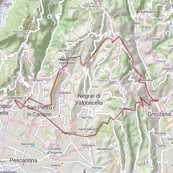
Erleben Sie die Herausforderung einer 46 km langen Schotterstrecke durch Stallavena.
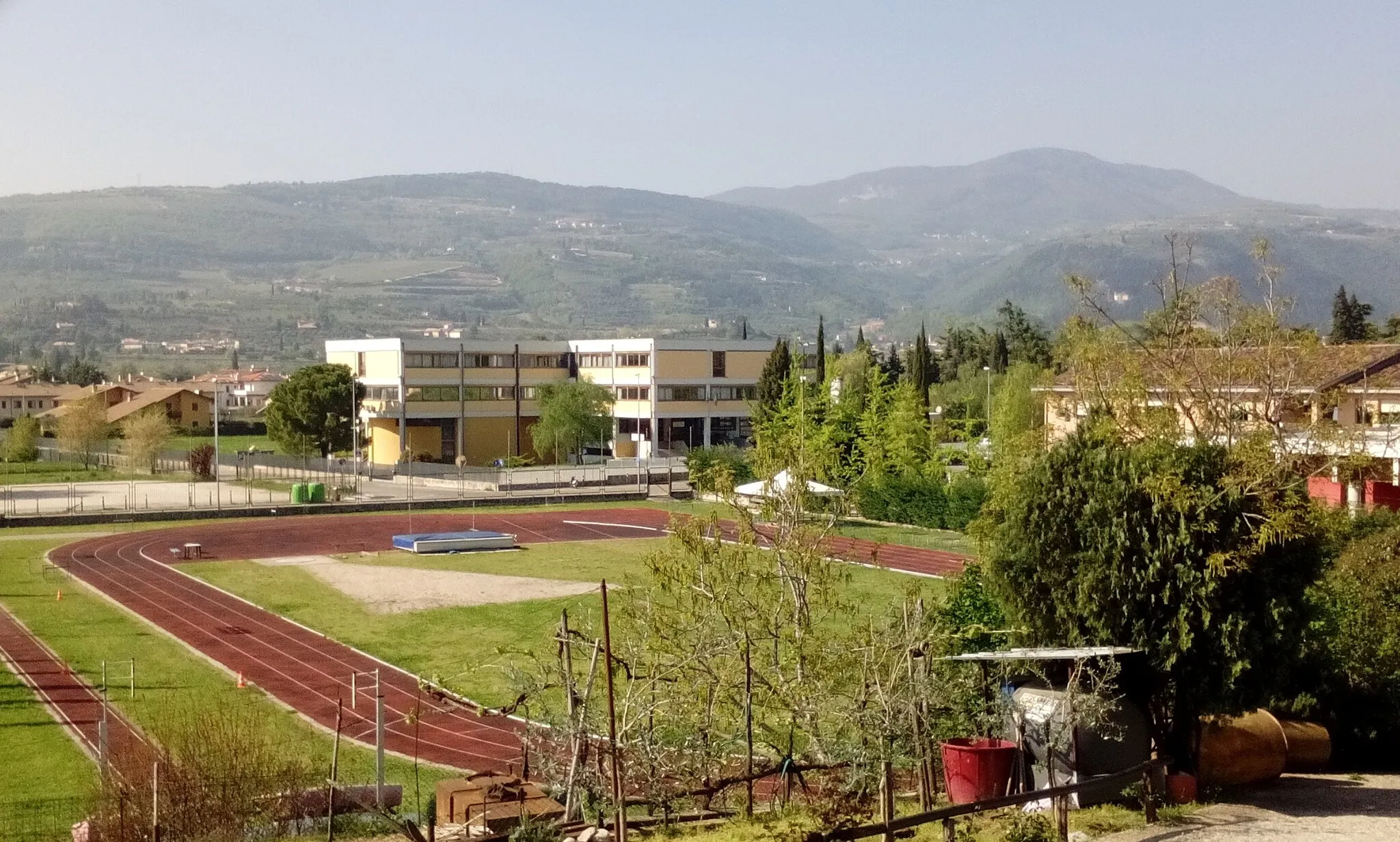
Diese Strecke führt Sie durch Marano di Valpolicella, Prun, Stallavena und endet in San Pietro in Cariano. Mit 1216 m Aufstieg bietet diese Route ein intensives Erlebnis für erfahrene Radfahrer.
![Karten-Miniaturansicht der Radinspiration "Gravel Abenteuer am Gardasee" in Veneto, Italy. Erstellt vom Tarmacs.app-Routenplaner für Radtouren](https://images.tarmacs.app/cycling-routes/routemaps/600/italy/veneto/sant-ambrogio-di-valpollicella/gravel/117990.webp)
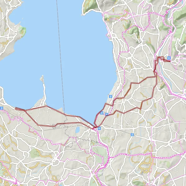
Eine 63 km lange Schotterroute, die spannende Highlights am Gardasee bietet.
Erkunden Sie Ponton, Peschiera del Garda, Sirmione, San Martino della Battaglia, Bastione San Marco und Pastrengo während dieser abenteuerlichen Fahrradtour. Diese Strecke bietet einzigartige Landschaften und spannende Herausforderungen für Gravel-Liebhaber.
Epische Radtour durch Valeggio sul Mincio
![Karten-Miniaturansicht der Radinspiration "Epische Radtour durch Valeggio sul Mincio" in Veneto, Italy. Erstellt vom Tarmacs.app-Routenplaner für Radtouren](https://images.tarmacs.app/cycling-routes/routemaps/600/italy/veneto/sant-ambrogio-di-valpollicella/road/118035.webp)
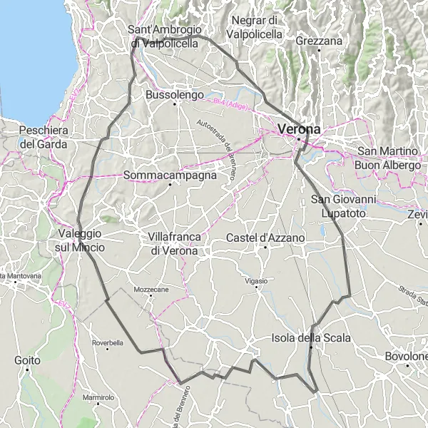
Eine herausfordernde Straßenroute durch das malerische Valeggio sul Mincio erwartet Sie.
Diese 105 km lange Strecke bietet zahlreiche Höhepunkte und kulturelle Sehenswürdigkeiten entlang des Weges. Besuchen Sie San Pietro in Cariano, Castel San Pietro, Isola della Scala, Erbè, Valeggio sul Mincio, Poggio dei Due Imperatori, Castelnuovo del Garda, Pastrengo und enden Sie in Sant'Ambrogio di Valpolicella.
![Karten-Miniaturansicht der Radinspiration "Rundtour durch Pastrengo und Cavaion Veronese" in Veneto, Italy. Erstellt vom Tarmacs.app-Routenplaner für Radtouren](https://images.tarmacs.app/cycling-routes/routemaps/600/italy/veneto/sant-ambrogio-di-valpollicella/road/117994.webp)
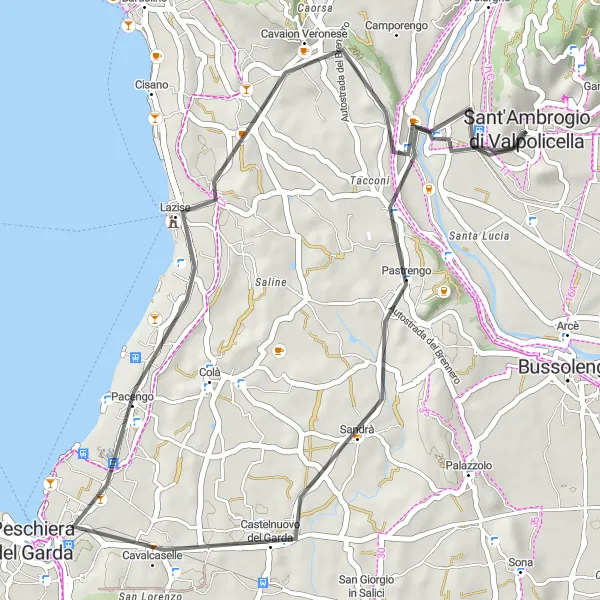
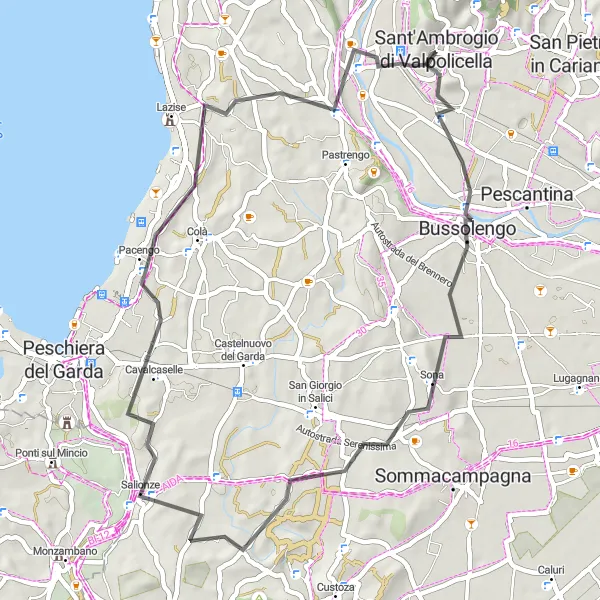
Begeben Sie sich auf eine abenteuerliche Straßenroute durch Pastrengo und Cavaion Veronese.
Insgesamt 40 km lang, bietet diese Strecke eine Mischung aus landschaftlicher Schönheit und kulturellen Highlights. Besuchen Sie Pastrengo, Castelnuovo del Garda, Bastione San Marco, Cavaion Veronese und enden Sie in Sant'Ambrogio di Valpolicella.
Gardasee und Valpolicella Rundfahrt
![Karten-Miniaturansicht der Radinspiration "Gardasee und Valpolicella Rundfahrt" in Veneto, Italy. Erstellt vom Tarmacs.app-Routenplaner für Radtouren](https://images.tarmacs.app/cycling-routes/routemaps/600/italy/veneto/sant-ambrogio-di-valpollicella/road/117992.webp)
Auf dieser Route entdecken Sie die Schönheit des Gardasees und das malerische Valpolicella-Gebiet.
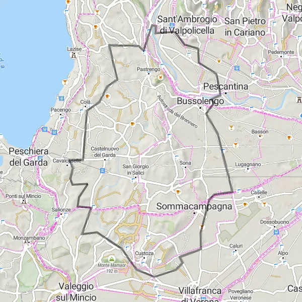
Diese 57 km lange Strecke führt Sie entlang von Bussolengo, Custoza, Cavalcaselle und Ponton. Erleben Sie die einzigartige Landschaft und genießen Sie die Fahrt durch diese atemberaubende Region.
Verona und Gardasee Rundstrecke
![Karten-Miniaturansicht der Radinspiration "Verona und Gardasee Rundstrecke" in Veneto, Italy. Erstellt vom Tarmacs.app-Routenplaner für Radtouren](https://images.tarmacs.app/cycling-routes/routemaps/600/italy/veneto/sant-ambrogio-di-valpollicella/road/117979.webp)
Eine 60 km lange Strecke, die Verona und den Gardasee verbindet.
Fahren Sie durch Pescantina, Lugagnano, Villafranca di Verona, Monte Mamaor und Pastrengo. Diese Route bietet eine vielfältige Landschaft und zahlreiche Sehenswürdigkeiten entlang des Weges.
![Karten-Miniaturansicht der Radinspiration "San Martino della Battaglia und Bussolengo Rundstrecke" in Veneto, Italy. Erstellt vom Tarmacs.app-Routenplaner für Radtouren](https://images.tarmacs.app/cycling-routes/routemaps/600/italy/veneto/sant-ambrogio-di-valpollicella/road/118036.webp)
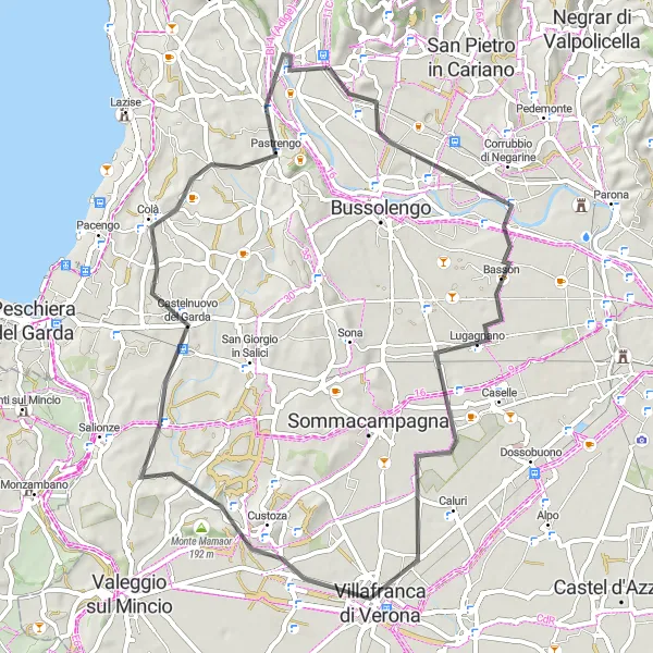
Eine 50 km lange Route voller kultureller und landschaftlicher Höhepunkte.
Erkunden Sie Bussolengo, Sona und Domegliara entlang dieser spannenden Strecke. Genießen Sie die Vielfalt der Region und entdecken Sie die Sehenswürdigkeiten entlang des Weges.
![Karten-Miniaturansicht der Radinspiration "Gardasee und Verona Fahrradtour" in Veneto, Italy. Erstellt vom Tarmacs.app-Routenplaner für Radtouren](https://images.tarmacs.app/cycling-routes/routemaps/600/italy/veneto/sant-ambrogio-di-valpollicella/road/118003.webp)
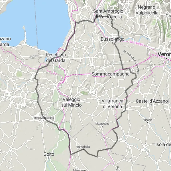
Eine 98 km lange Route, die den Gardasee und die charmante Stadt Verona verbindet.
Fahren Sie durch Pescantina, Povegliano Veronese, Roverbella, Monte Fiorito, Volta Mantovana, Peschiera del Garda, Bastione San Marco und Sant'Ambrogio di Valpolicella. Erleben Sie eine abwechslungsreiche Fahrt mit vielen Highlights entlang des Weges.
Verona Erlebnistour auf zwei Rädern
![Karten-Miniaturansicht der Radinspiration "Verona Erlebnistour auf zwei Rädern" in Veneto, Italy. Erstellt vom Tarmacs.app-Routenplaner für Radtouren](https://images.tarmacs.app/cycling-routes/routemaps/600/italy/veneto/sant-ambrogio-di-valpollicella/road/118007.webp)
Entdecken Sie die Schönheit von Verona auf diesem spannenden Straßenweg through italienische Landschaft.
Mit einer Länge von 70 km bietet diese Route eine Mischung aus Kultur und Natur. Besuchen Sie Castel San Pietro, Verona, Buttapietra, Povegliano Veronese, Bussolengo und enden Sie in Gargagnago.
In der Nähe befinden sich Fahrradrouten:
![Bild von San Pietro in Cariano](https://images.tarmacs.app/cycling-routes/covers/italy/veneto/san-pietro-in-cariano-3.webp)
![Bild von Pastrengo](https://images.tarmacs.app/cycling-routes/covers/italy/veneto/pastrengo-4.webp)
![Bild von Fumane](https://images.tarmacs.app/cycling-routes/covers/italy/veneto/fumane-4.webp)
![Bild von Pescantina](https://images.tarmacs.app/cycling-routes/covers/italy/veneto/pescantina-5.webp)
![Bild von Affi](https://images.tarmacs.app/cycling-routes/covers/italy/veneto/affi-5.webp)
![Bild von Cavajon Veronese](https://images.tarmacs.app/cycling-routes/covers/italy/veneto/cavajon-veronese-5.webp)
![Bild von San Floriano](https://images.tarmacs.app/cycling-routes/covers/italy/veneto/san-floriano-5.webp)
![Bild von Bussolengo](https://images.tarmacs.app/cycling-routes/covers/italy/veneto/bussolengo-5.webp)
![Bild von Pedemonte](https://images.tarmacs.app/cycling-routes/covers/italy/veneto/pedemonte-5.webp)
Benachbarte Regionen:
![Bild von Kärnten](https://images.tarmacs.app/cycling-routes/covers/austria/karnten/sankt-stefan-5.webp)
![Bild von Salzburg](https://images.tarmacs.app/cycling-routes/covers/austria/salzburg/georgenberg-4.webp)
![Bild von Tirol](https://images.tarmacs.app/cycling-routes/covers/austria/tirol/kufstein-1.webp)
![Bild von Ostschweiz](https://images.tarmacs.app/cycling-routes/covers/switzerland/ostschweiz/horn-1.webp)
![Bild von Jadranska Hrvatska](https://images.tarmacs.app/cycling-routes/covers/croatia/jadranska-hrvatska/vrsar-5.webp)
![Bild von Lombardei](https://images.tarmacs.app/cycling-routes/covers/italy/lombardia/san-giovanni-bianco-1.webp)
![Bild von Südtirol](https://images.tarmacs.app/cycling-routes/covers/italy/provincia-autonoma-di-bolzano-bozen/gais-3.webp)
![Bild von Autonome Provinz Trient](https://images.tarmacs.app/cycling-routes/covers/italy/provincia-autonoma-di-trento/cles-2.webp)
![Bild von Friaul-Julisch Venetien](https://images.tarmacs.app/cycling-routes/covers/italy/friuli-venezia-giulia/marano-lagunare-1.webp)
![Bild von Emilia-Romagna](https://images.tarmacs.app/cycling-routes/covers/italy/emilia-romagna/faenza-5.webp)
![Bild von Zahodna Slovenija](https://images.tarmacs.app/cycling-routes/covers/slovenia/zahodna-slovenija/ziri-5.webp)