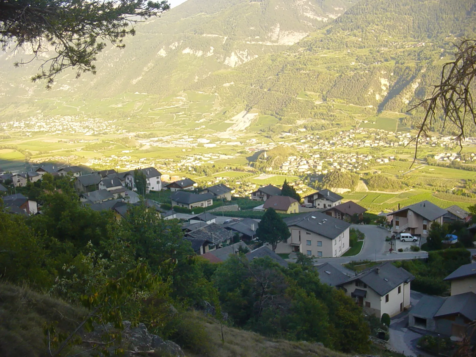
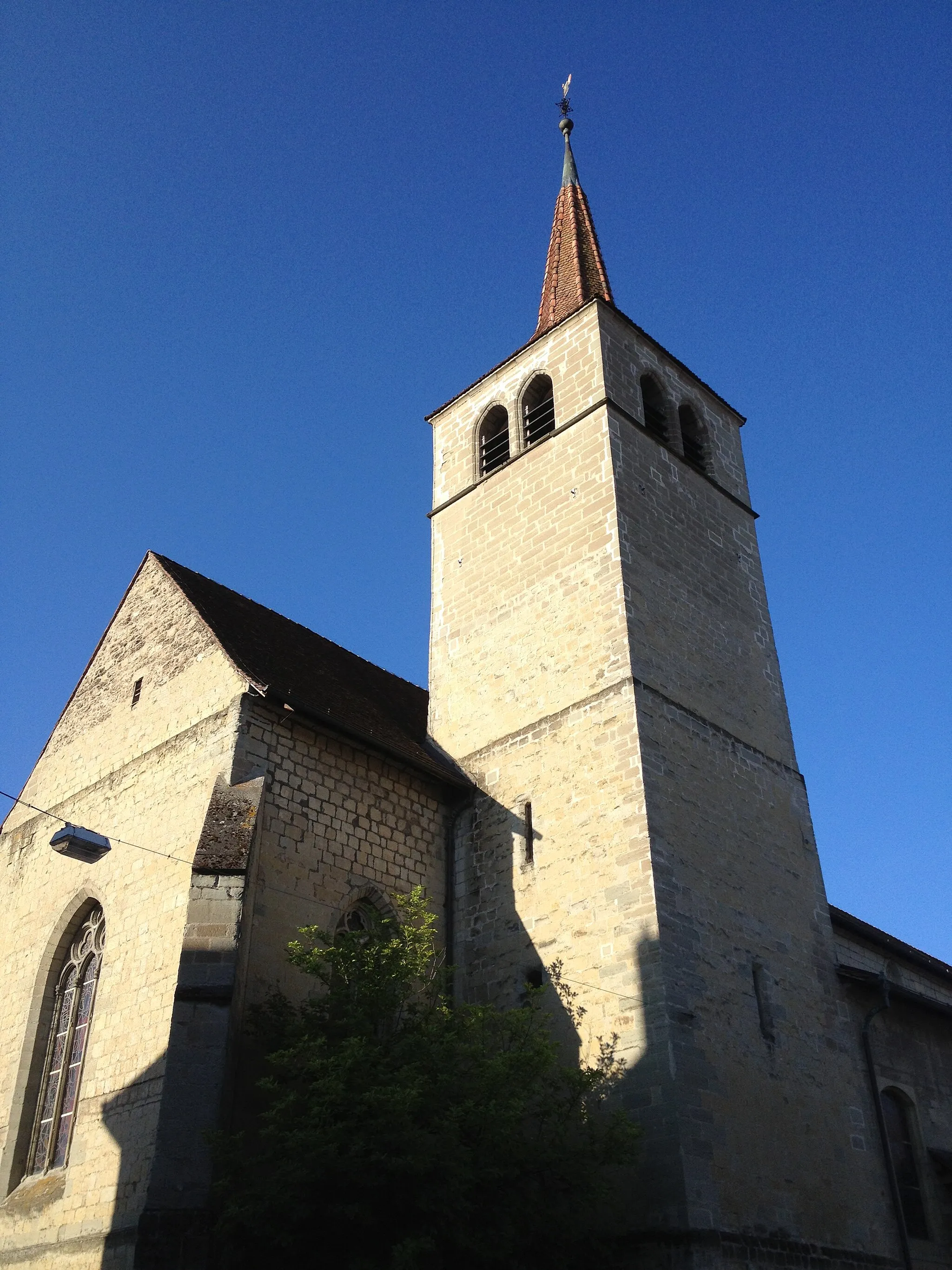
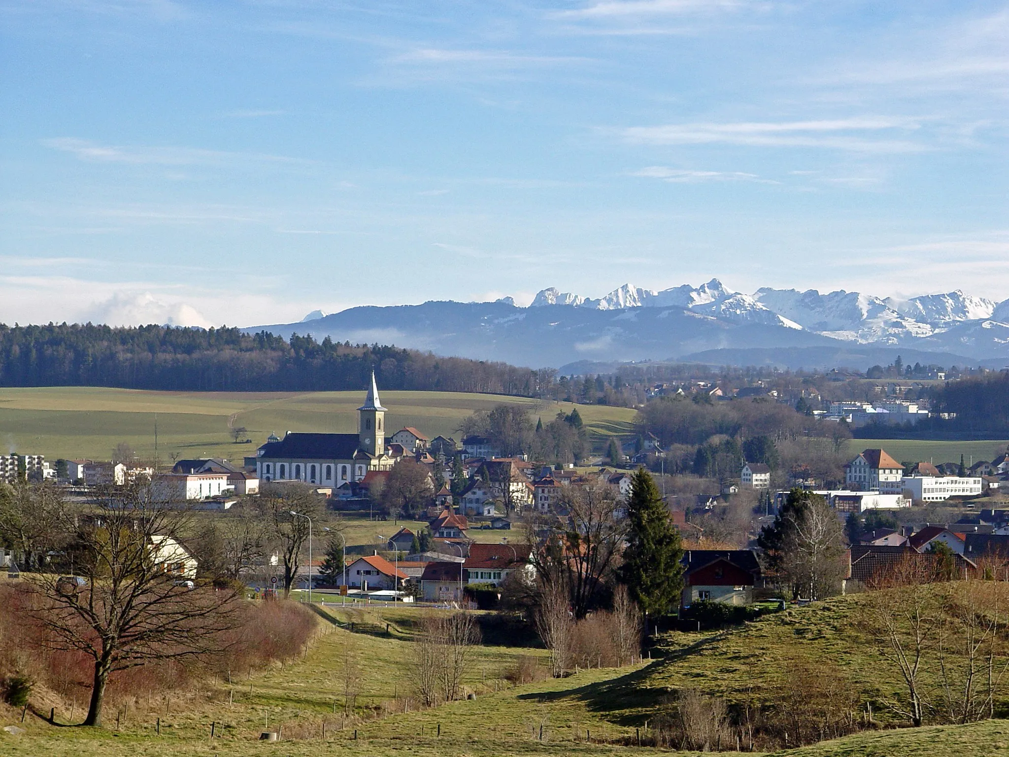
Entspannen Sie auf den ruhigen Straßen und erklimmen Sie den Mont Vully in Domdidier.
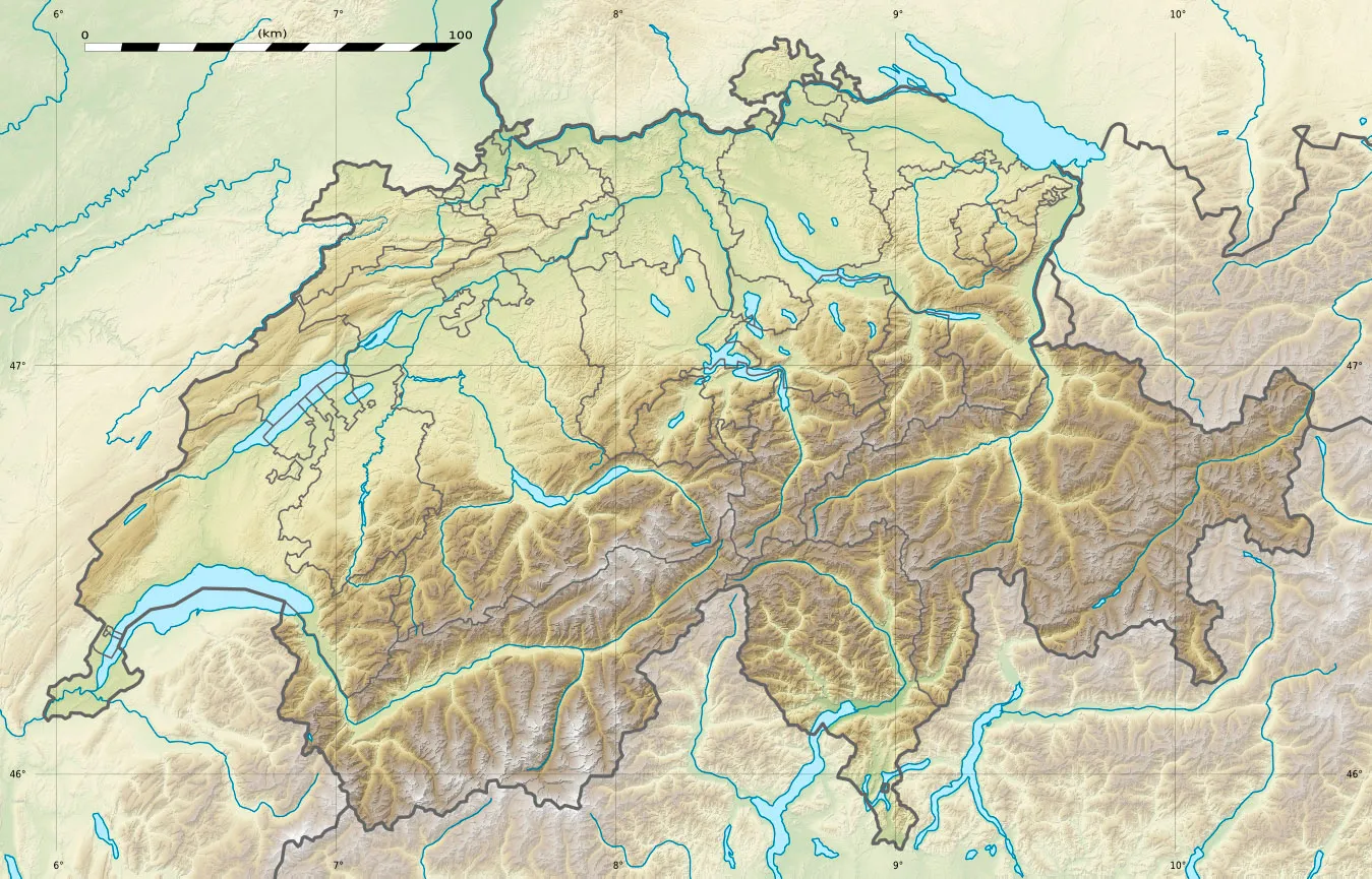
Fahrradrouten rund um Domdidier
Domdidier ist ein ruhiger Ort mit schönen Straßen und wenig Verkehr, ideal für Radfahrer, die die Natur genießen möchten. Die umliegende Landschaft bietet einige sanfte Hügel und eine entspannte Atmosphäre. Der nahe gelegene Anstieg zum Mont Vully ist ein lohnendes Ziel für Radfahrer.
Bolting through Espace Mittelland
Entdecken Sie atemberaubende Landschaften und malerische Dörfer auf dieser 102 km langen Rundtour durch die Region.
Diese herausfordernde Route führt Sie durch idyllische Orte wie Dommartin, Vuarrens und Cheyres. Genießen Sie die herrlichen Ausblicke auf dem Plateform paysagère des clairières de Châbles und kehren Sie schließlich nach Domdidier zurück.
Charmante Dörfer und Landschaften
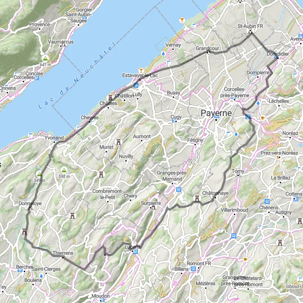
Auf dieser 78 km langen Rundtour durch Espace Mittelland erwarten Sie malerische Dörfer und idyllische Landschaften.
Besuchen Sie Orte wie Henniez, Donneloye und Grandcour und genießen Sie die pittoresken Ansichten unterwegs. Bewundern Sie den Panoramablick von Point de vue paysager de Châbles und beenden Sie die Tour in Domdidier.
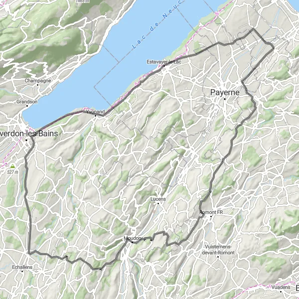
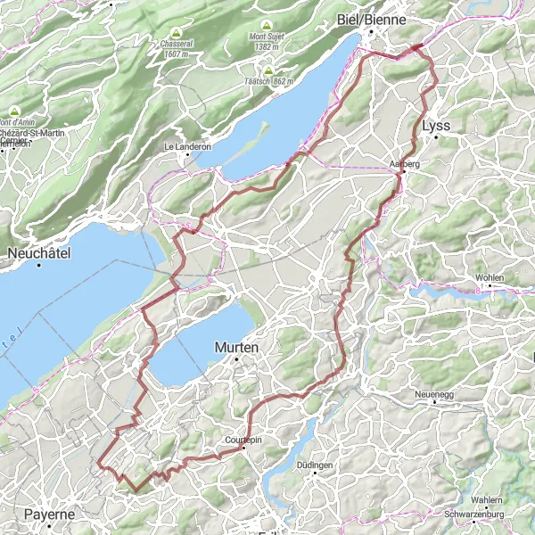
Erleben Sie auf dieser 137 km langen Rundtour durch Espace Mittelland anspruchsvolle Anstiege und charmante Dörfer.
Diese Route führt Sie unter anderem durch Vallamand, Renan BE und Savagnier und belohnt Sie mit der Schönheit von Villars-le-Grand. Beenden Sie die Tour inmitten der faszinierenden Landschaft von Domdidier.
Genießen Sie die Aussicht auf dem Weg von Domdidier nach Vernay.
Mit einem moderaten Anstieg von 400 Metern auf 44 km bietet diese Tour eine entspannte Fahrt durch die idyllische Landschaft. Highlights auf dem Weg sind Russy, Lully und Vernay. Die malerische Umgebung und charmanten Dörfer machen diese Tour perfekt für Genussradler.
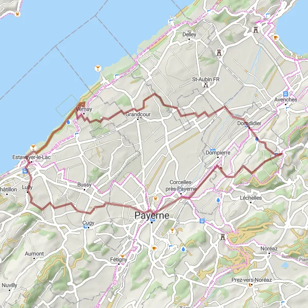
Erkunden Sie die vielfältige Landschaft auf dem Weg von Domdidier nach Dompierre.
Mit einer Höhendifferenz von 1029 Metern und einer Strecke von 106 km ist diese Tour ideal für erfahrene Radfahrer. Highlights auf dem Weg sind Vallamand, Hagneck und Niederried b. Kallnach. Die anspruchsvolle Strecke führt Sie durch malerische Dörfer und idyllische Landschaften, die das Herz von Natur- und Abenteuerliebhabern höher schlagen lassen.
Rundtour von Domdidier nach Piamont und zurück
Erleben Sie die malerische Landschaft beim Aufstieg von Domdidier nach Piamont.
Diese Route bietet eine herausfordernde Steigung von 693 Metern auf einer Strecke von 41 km. Auf dem Weg passieren Sie Highlights wie Essert, Fribourg und Noréaz. Die abwechslungsreiche Landschaft und interessante Orte machen diese Radrunde zu einem unvergesslichen Erlebnis.
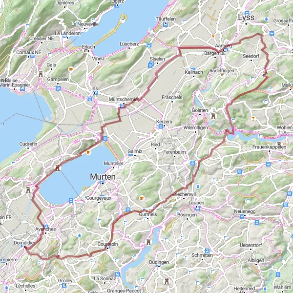
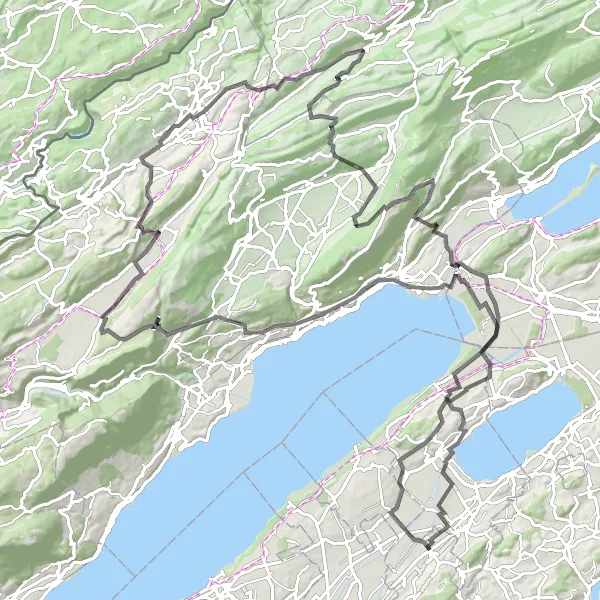
Erkunden Sie die idyllische Landschaft auf dem Weg zum Mont Vully und Gümmenen.
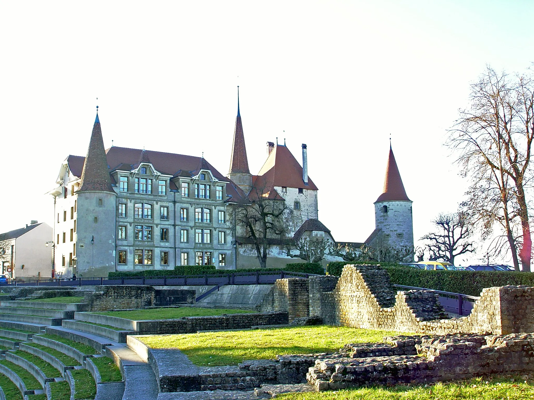
Mit einer Höhendifferenz von 929 Metern und einer Strecke von 88 km ist diese Tour perfekt für Abenteuerlustige. Highlights auf dem Weg sind das Guevaux Castle, Amthaus Aarberg und Fraubrunnen. Die abwechslungsreiche Strecke bietet sowohl herausfordernde Anstiege als auch malerische Ausblicke über die Region.
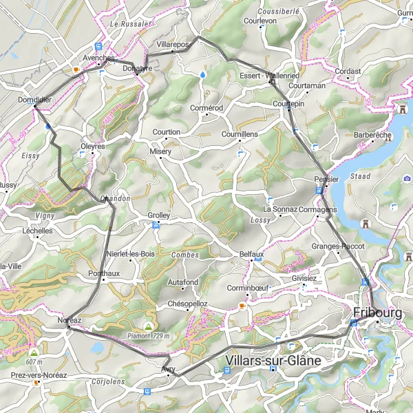
Entdecken Sie die ländliche Umgebung auf dem Weg von Domdidier nach Belfaux.
Diese kurze Runde bietet einen Anstieg von 654 Metern auf einer Strecke von 29 km. Highlights auf dem Weg sind Villarepos, Belfaux und Domdidier. Die malerische Landschaft und charmanten Dörfer machen diese Tour zu einem entspannten Ausflug für naturverbundene Radfahrer.
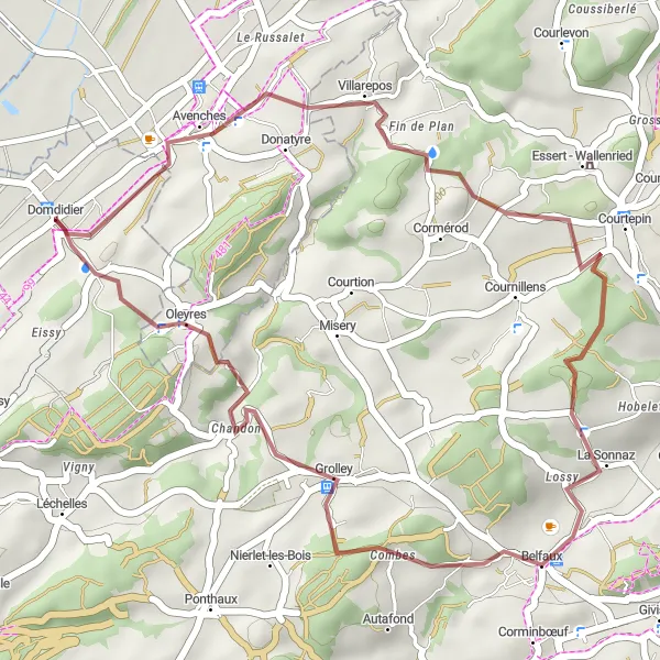
Abenteuerliche Schottertour
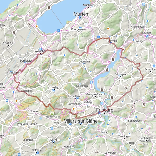
Erleben Sie auf dieser 58 km langen Rundtour durch Espace Mittelland die Herausforderung von Schotterwegen und idyllischen Orten.
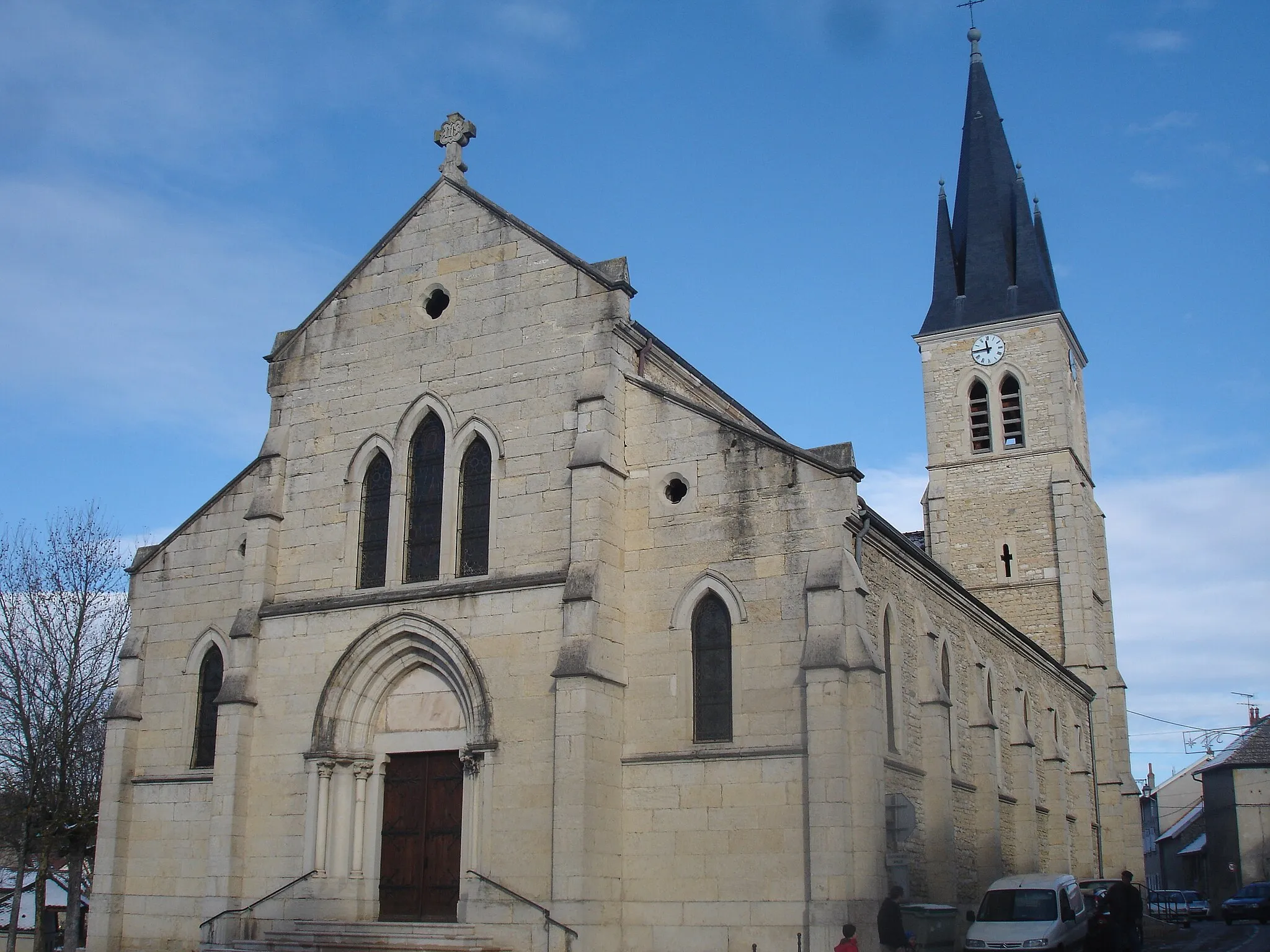
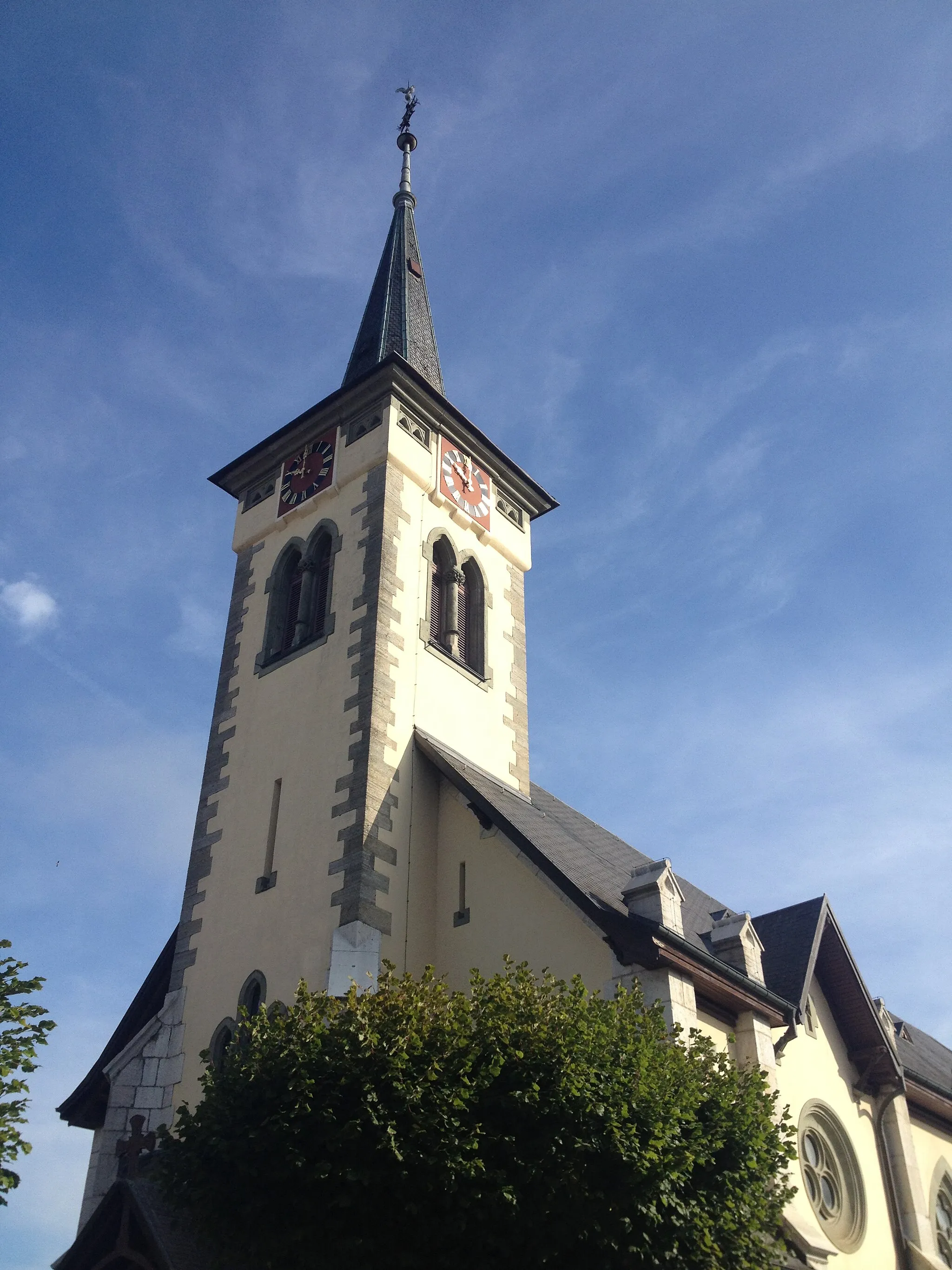
Diese Route führt Sie durch malerische Dörfer wie Villarepos, Fribourg und Russy. Besuchen Sie das imposante clock tower belvedère von Fribourg und erkunden Sie die ruhige Schönheit dieser Region.
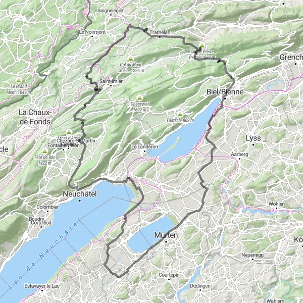
Bei dieser 152 km langen Rundtour durch Espace Mittelland erleben Sie anspruchsvolle Anstiege, atemberaubende Aussichten und ländliche Ruhe.
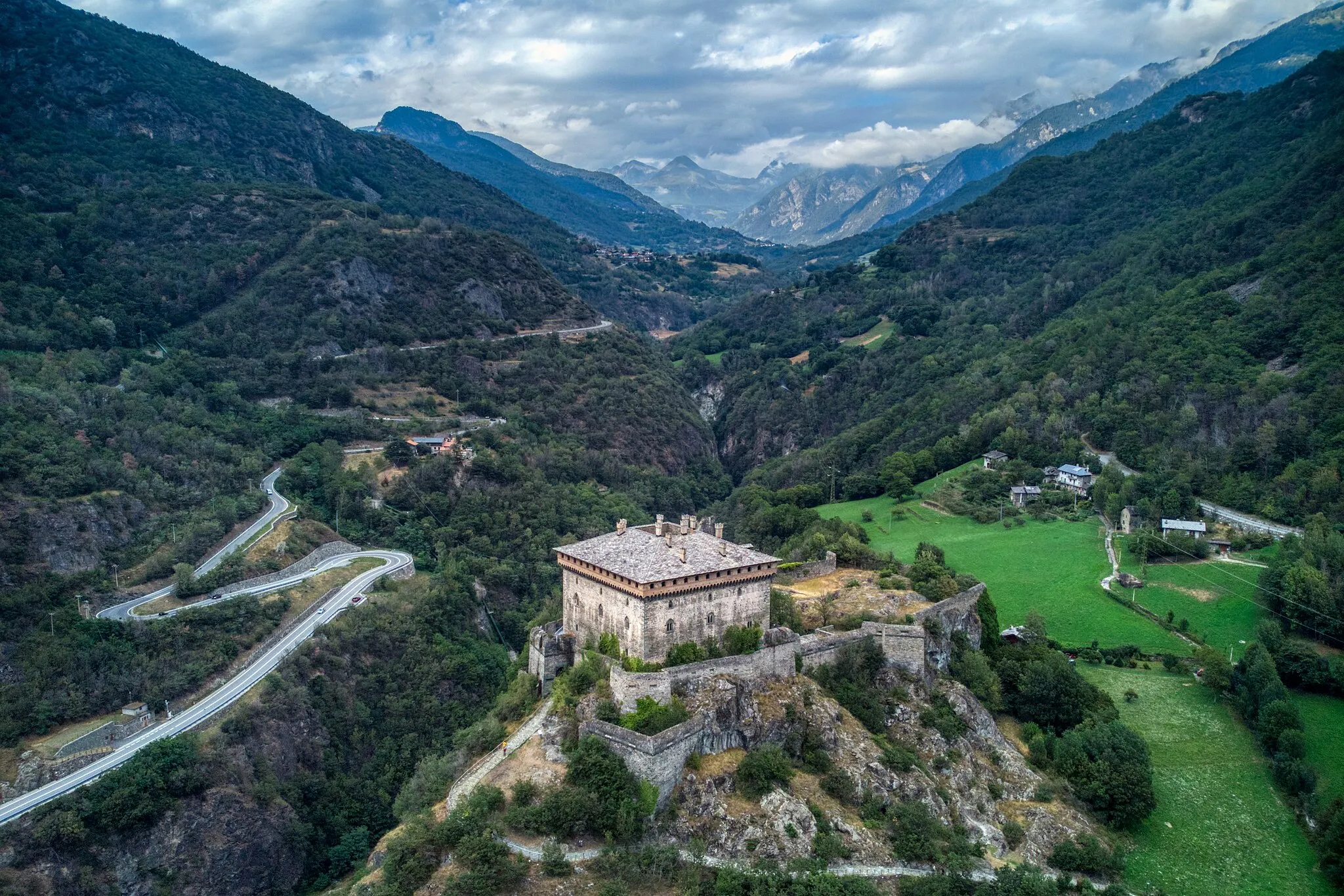
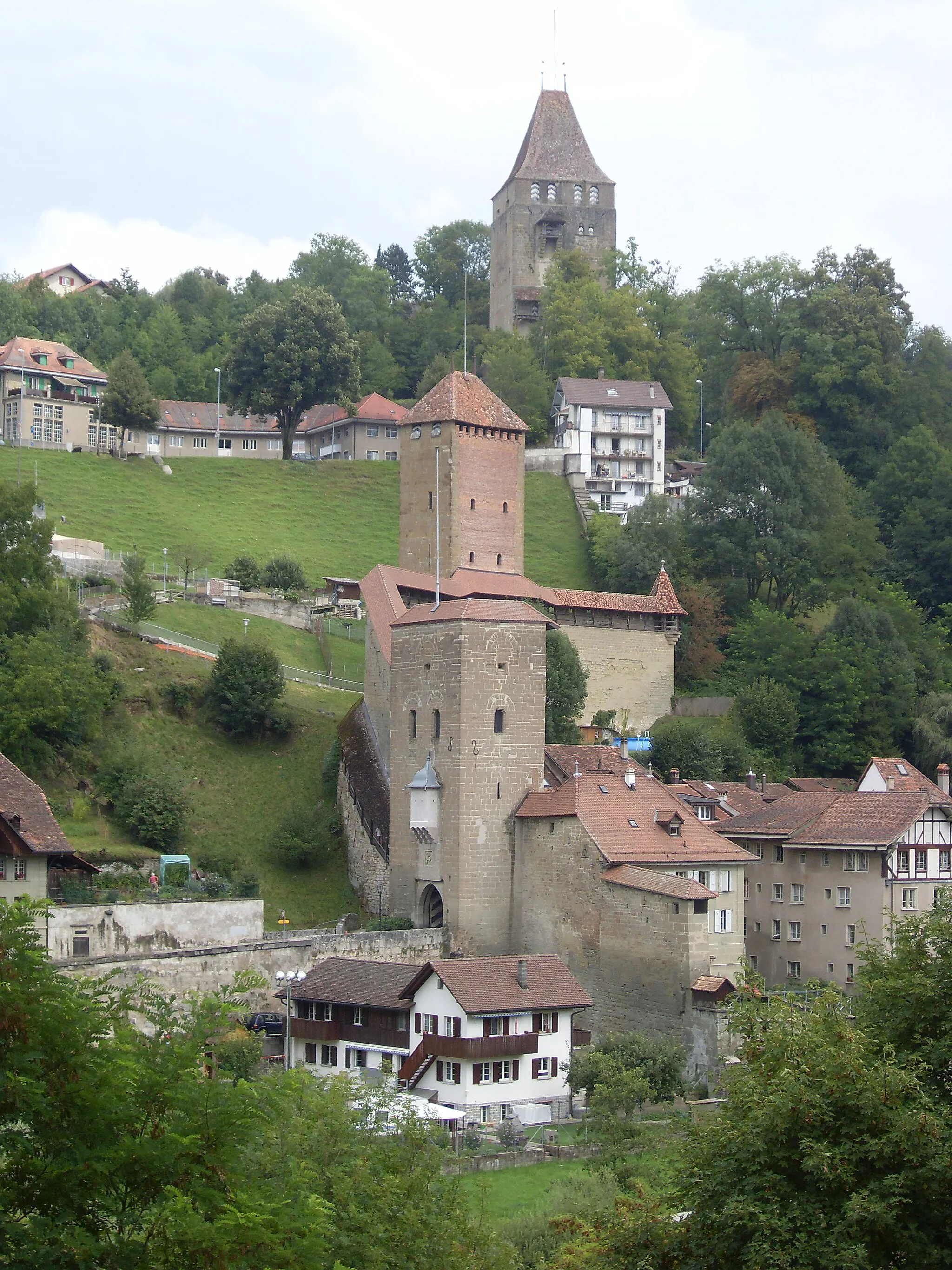
Erklimmen Sie Bergpässe wie den Col de Pierre Pertuis und genießen Sie die weite Aussicht vom Burg/Bourg. Diese abwechslungsreiche Tour führt Sie durch Orte wie Villars-le-Grand, Sonvilier und Meyriez und endet schließlich in Domdidier.
In der Nähe befinden sich Fahrradrouten:

Benachbarte Regionen: