Avventure ciclistiche tra paesaggi incantevoli e storiche salite.
Percorsi ciclabili intorno a Sierning
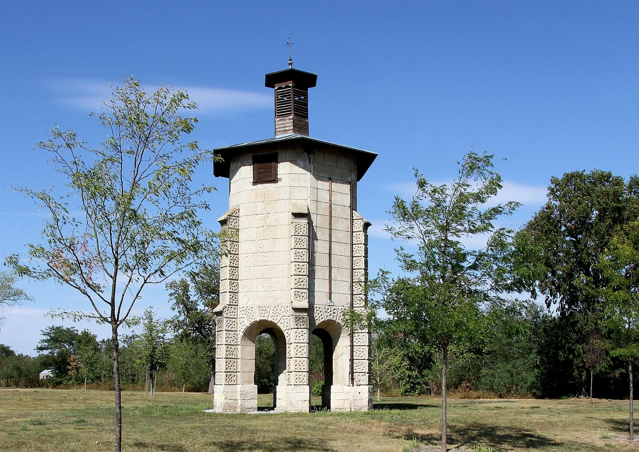
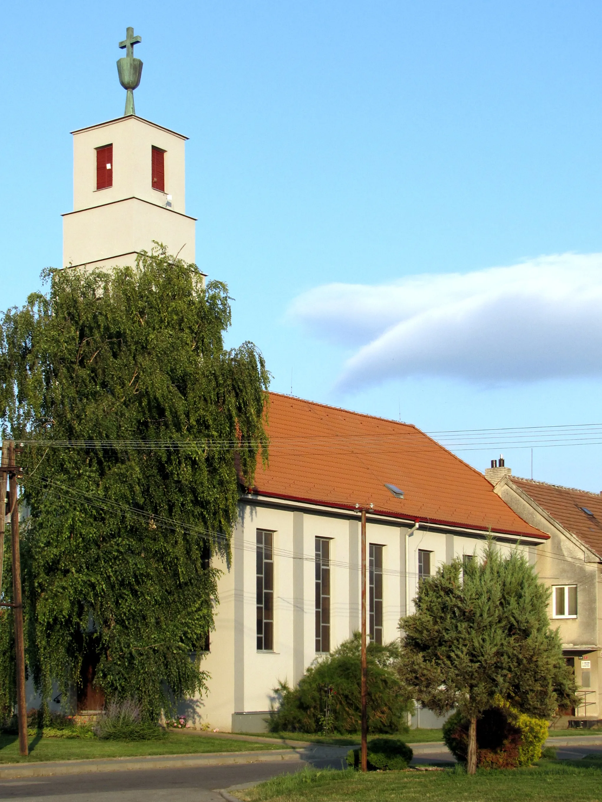
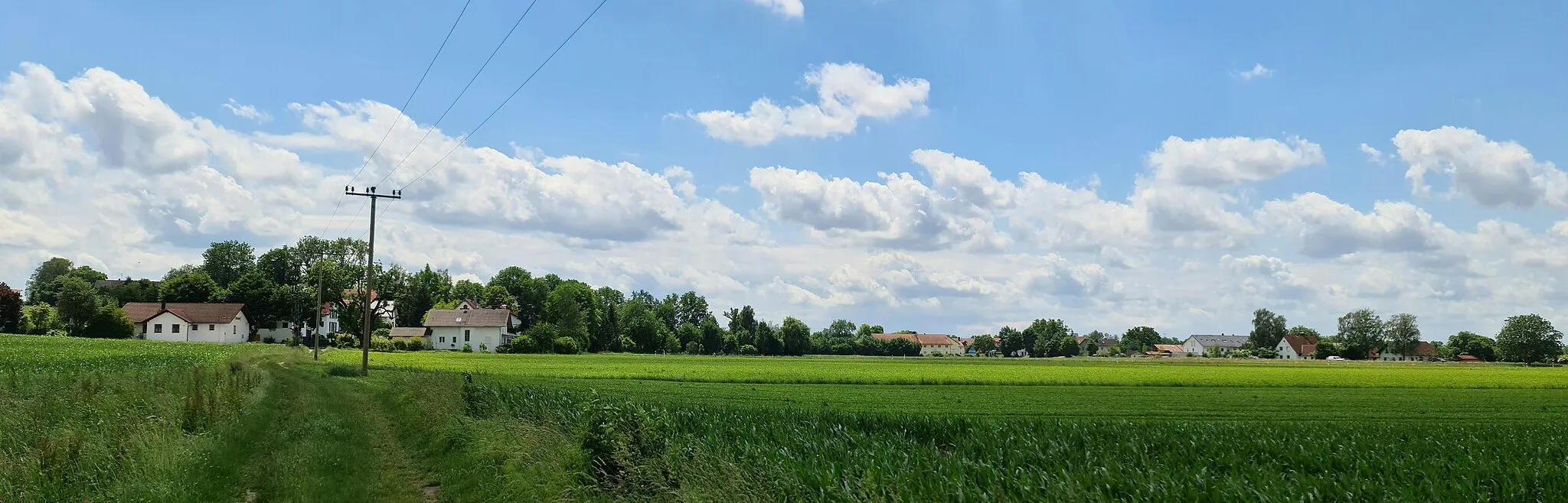
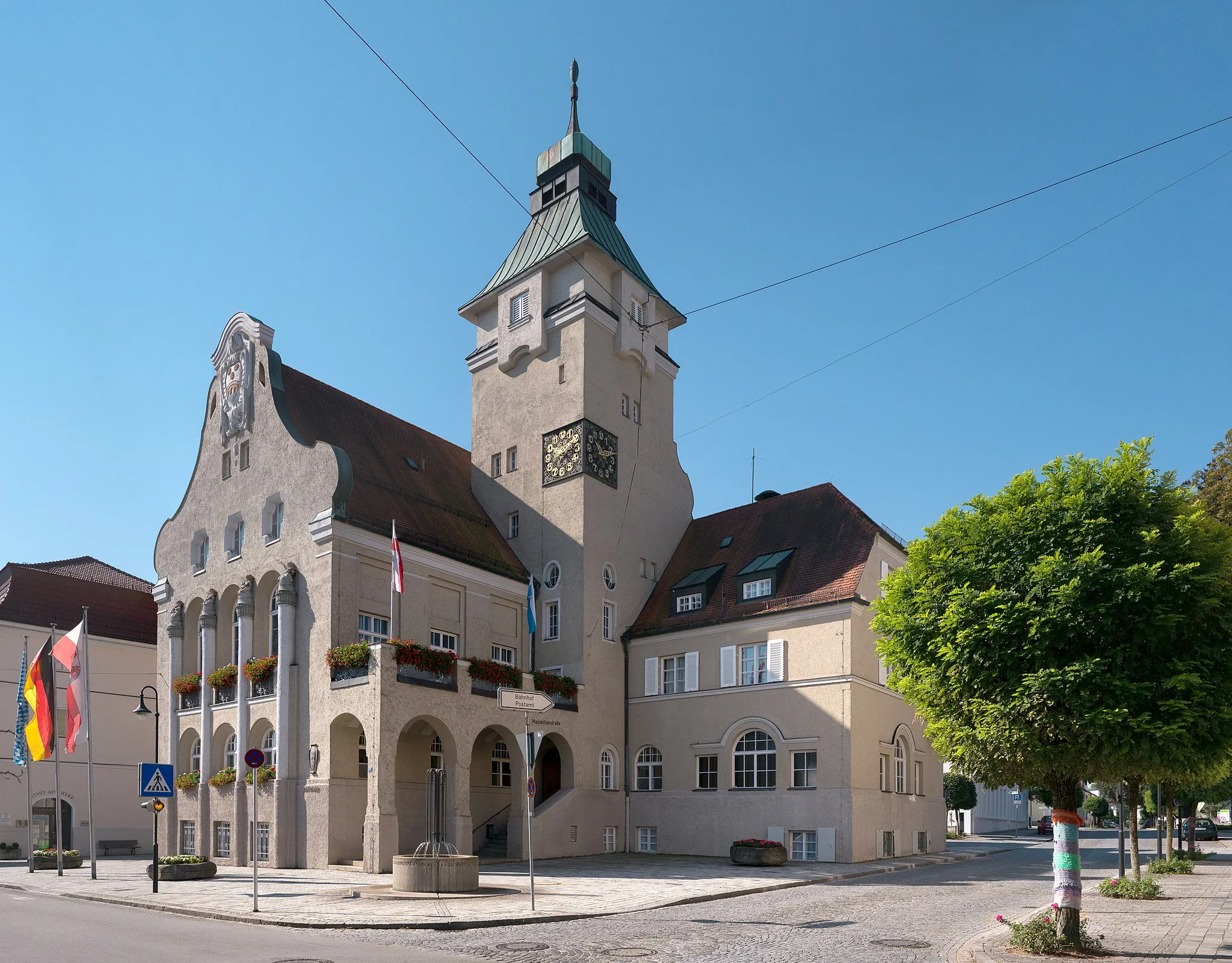
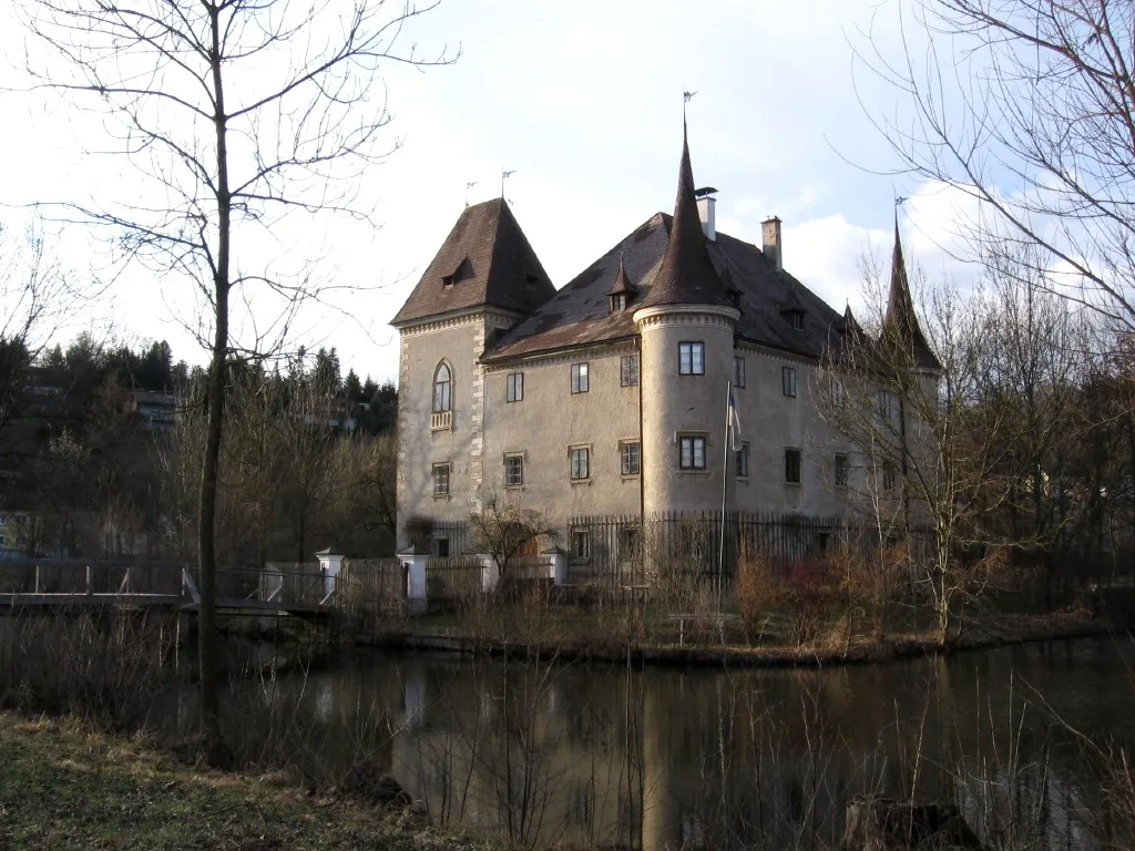
Sierning è una località dell'Alta Austria che offre molte opportunità ai ciclisti su strada e gravel. Le strade panoramiche intorno a Sierning permettono di esplorare scenari suggestivi e pittoreschi villaggi lungo il percorso, con varie opzioni di percorsi per soddisfare tutti i gusti. Nei pressi di Sierning si trova la celebre salita di Klaus, una tappa imperdibile per gli amanti delle sfide ciclistiche impegnative.
Enjoy a scenic road cycling loop near Sierning, showcasing the natural beauty of the region.
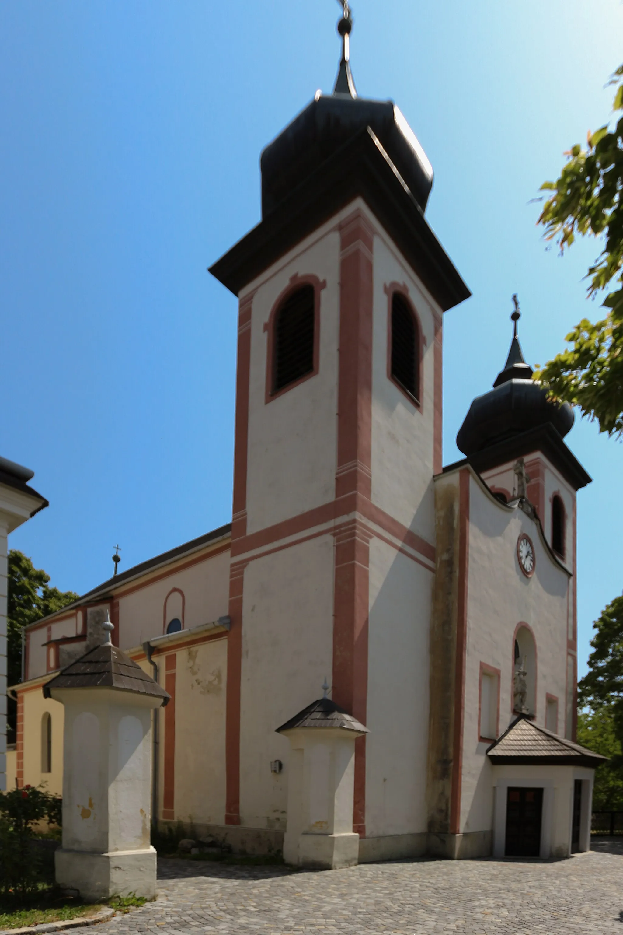
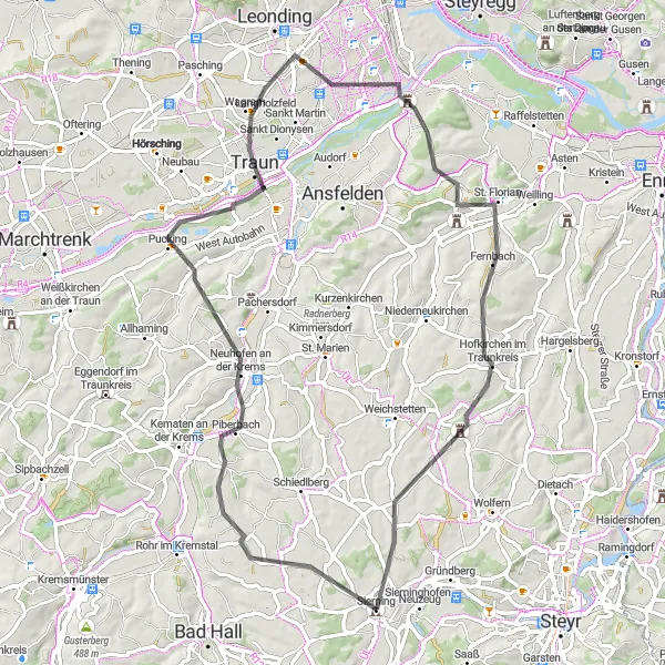
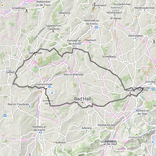
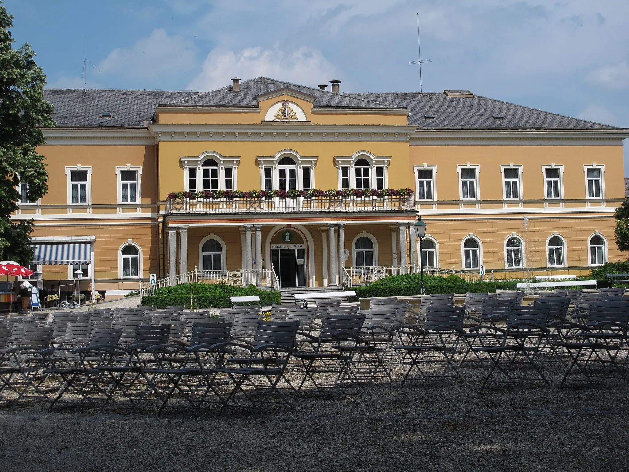
Cycle through picturesque landscapes and charming villages on this scenic road cycling loop near Sierning. Discover the hidden gems of Bad Hall and Gusterberg, with their welcoming atmosphere and stunning scenery. Enjoy the panoramic views from Marienwarte and the tranquil setting of Sattledt along the way. Don't miss the cultural delights of Neuhofen an der Krems and the charming village of Schiedlberg.
Esperienza di ciclismo gravel tra natura incontaminata e panorami mozzafiato
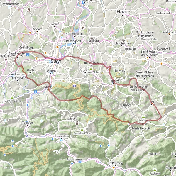
Questo percorso di 73 km presenta un dislivello positivo di 1874m, offrendoti un'esperienza avventurosa attraverso luoghi come il Tabor e la pittoresca Steyr. Lungo il tragitto potrai ammirare il Birnerkogel, l'Ertl e il suggestivo Schwarzberg, per poi concludere la tua avventura a Neuzeug.
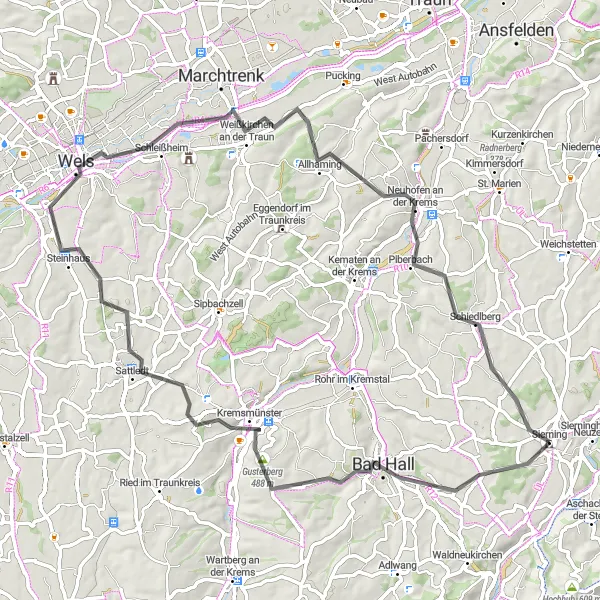
Esplora la campagna austriaca lungo questo percorso di 71 km in bicicletta su strada
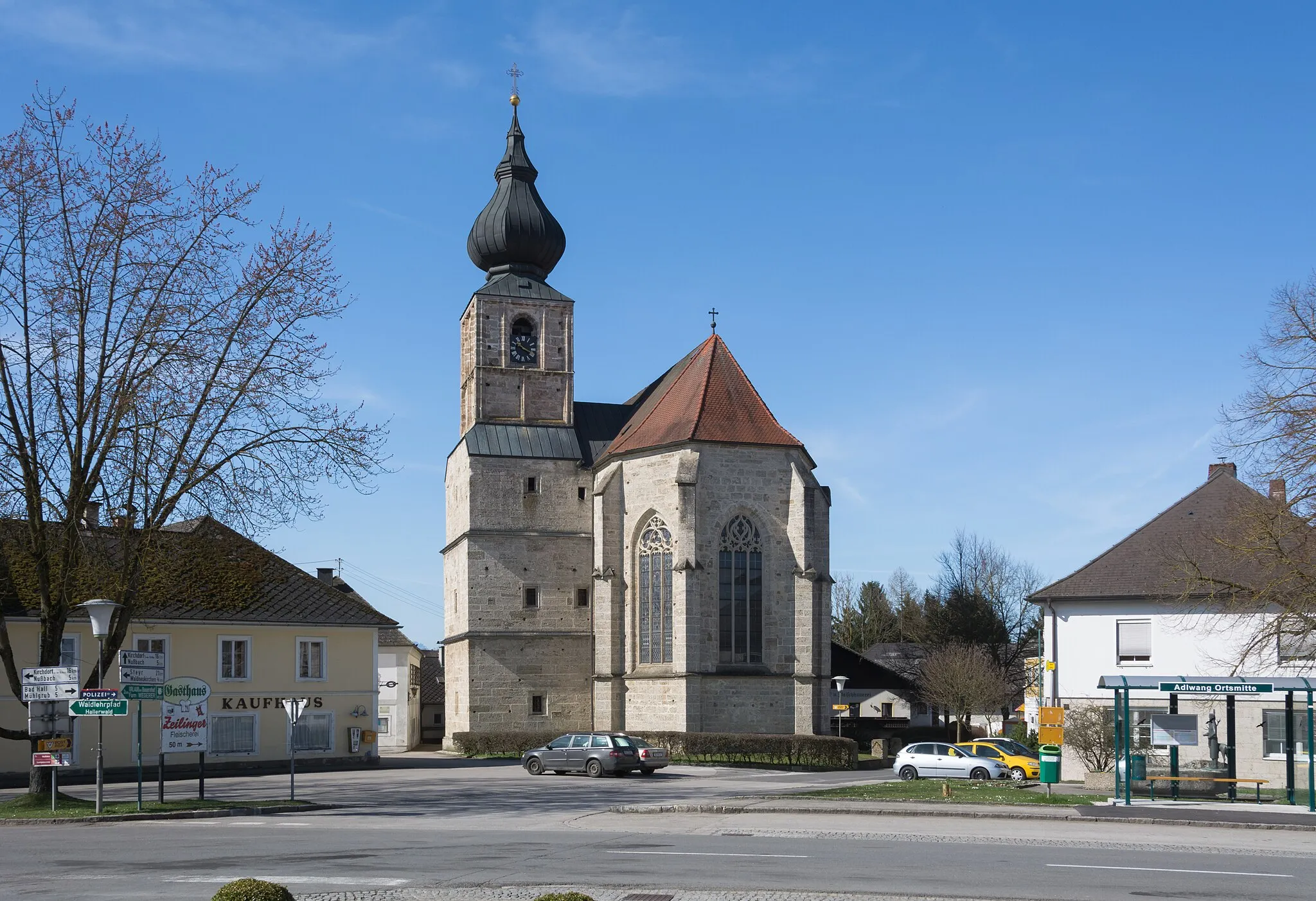
Questa rotta offre un mix di paesaggi rurali e highlight culturali, tra cui il pittoresco villaggio di Hofkirchen im Traunkreis. Con un dislivello di 650 m, il percorso è adatto a ciclisti intermedi che desiderano una sfida moderata.
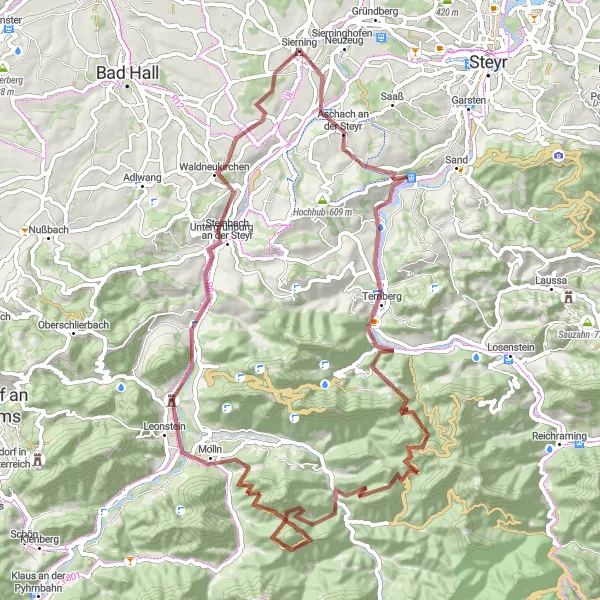
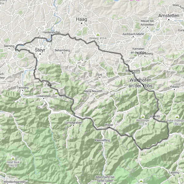
Discover the charming Steyr Valley while cycling on gravel paths.
Immerse yourself in the picturesque landscapes of Steyr Valley as you cycle through quaint villages and lush greenery. The route offers a mix of challenging climbs and thrilling descents, with highlights including the historic town of Molln and the impressive Kreuzmauer mountain. Don't miss the breathtaking views from Hoher Trailing and the serene atmosphere of Aschach an der Steyr.
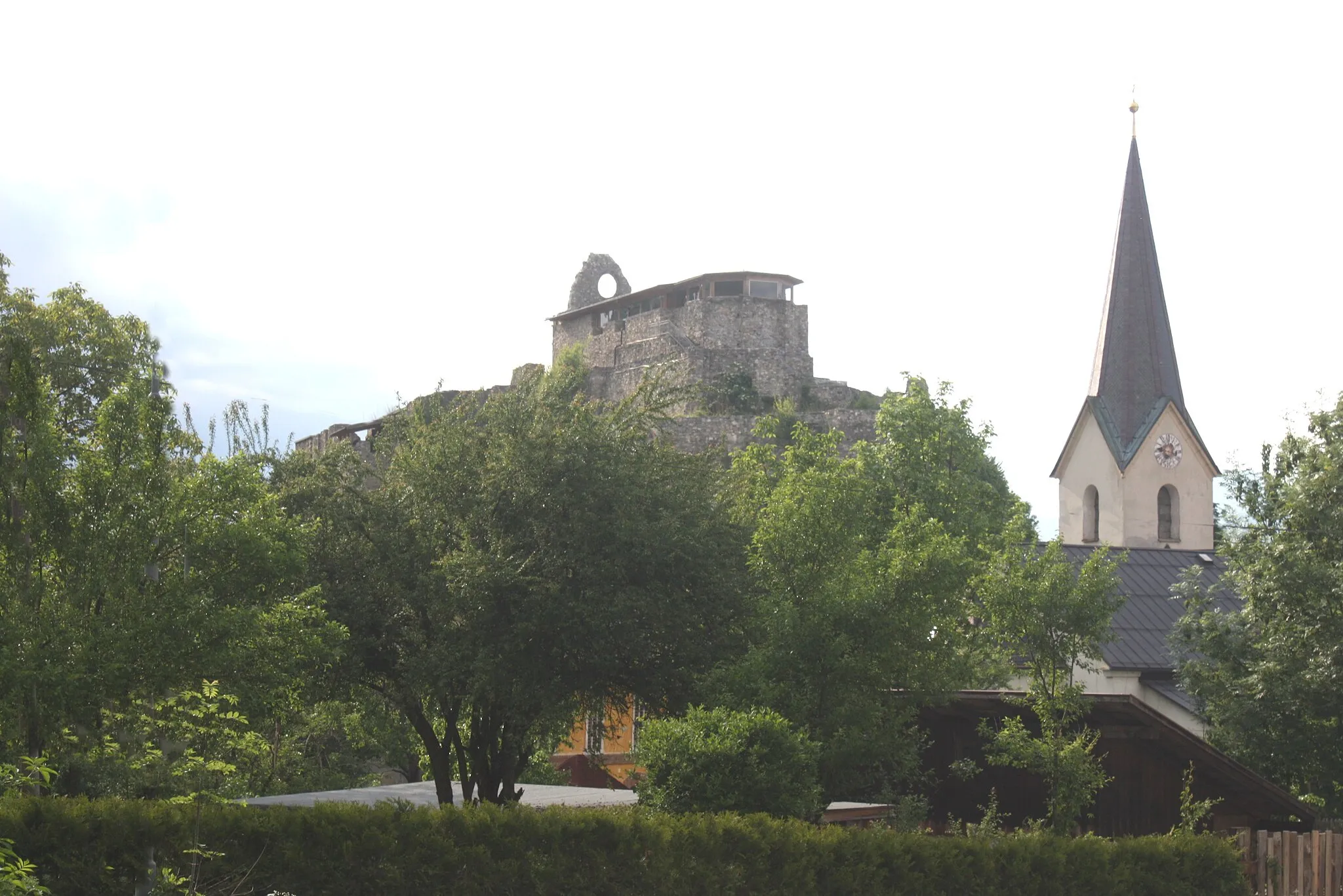
Esplorando Steyr e Mauthausen in bicicletta
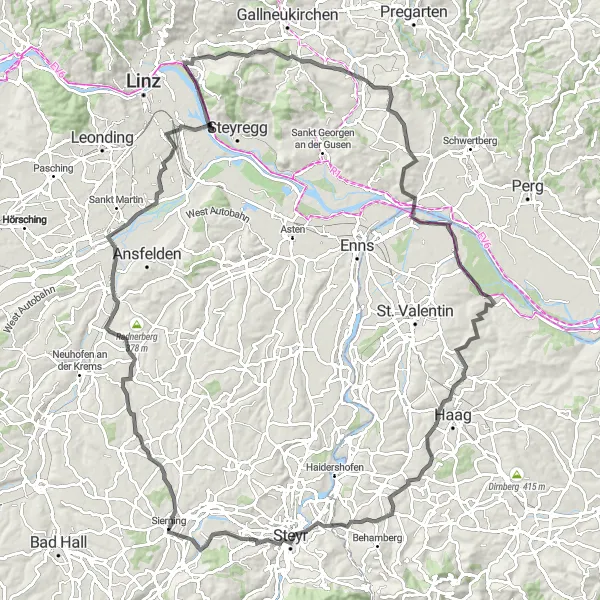
Un'avventura emozionante tra natura e cultura
Con un dislivello positivo di 1161 m e una distanza di 116 km, questo percorso offre l'opportunità di pedalare attraverso paesaggi mozzafiato e luoghi storici affascinanti. Attraversando località come Predigtstuhl e Mauthausen, i ciclisti potranno immergersi nella storia e nella bellezza della regione.
Historic Road Cycling Route in Oberösterreich
Embark on a journey through history on this scenic road cycling route in Oberösterreich.
Explore the historic landmarks and charming villages of Oberösterreich as you cycle through picturesque landscapes and rolling hills. Highlights include the scenic village of Wolfern and the majestic Schloss Salaberg with its rich cultural heritage. Discover the hidden gems of Dirnberg and Damberg, and enjoy the natural beauty of Großebenkogel and Aschach an der Steyr. Immerse yourself in the cultural tapestry of this enchanting region.
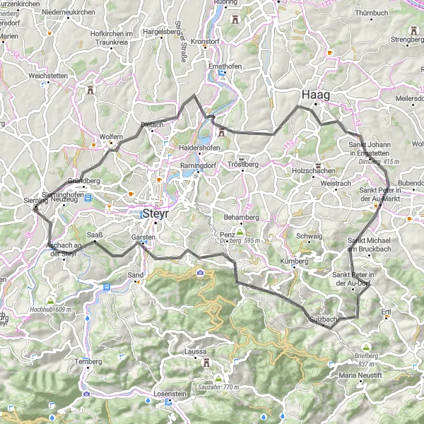
Avventuroso giro in bici tra le montagne dell'Alta Austria
Questa emozionante rotta ciclabile vi condurrà attraverso paesaggi mozzafiato e pittoreschi villaggi sulle montagne dell'Alta Austria. Con salite impegnative e discese adrenaliniche, questa avventura è perfetta per i ciclisti esperti in cerca di nuove sfide. Lungo il percorso potrete ammirare il suggestivo Rothschildschloss e godervi la tranquillità di Hollenstein an der Ybbs. Scoprite il fascino unico di Großraming e la bellezza naturale della Burnerhöhe.
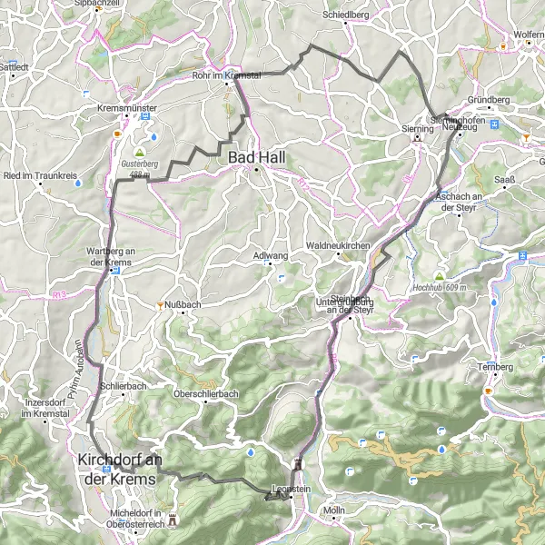
Una scoperta emozionante di borghi incantevoli e paesaggi mozzafiato
Con un dislivello positivo di 1086 m e una distanza di 75 km, questo tour offre la possibilità di esplorare borghi pittoreschi e ammirare panorami mozzafiato lungo il percorso. Attraversando località come Riedberg e Kirchdorf an der Krems, i ciclisti potranno vivere un'esperienza unica tra natura e cultura.
Discover the beauty of Oberösterreich on a picturesque road cycling adventure.
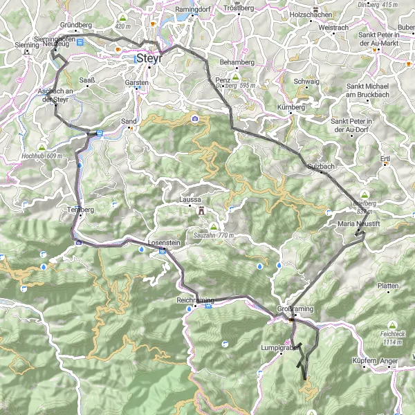
Pedal through the diverse landscapes of Oberösterreich, from charming villages to rolling hills and lush forests. Enjoy the cultural delights of Ternberg and Steyr, with their historic landmarks and welcoming atmosphere. Marvel at the natural beauty of Maria Neustift and Kronstein, and conquer the challenging climbs of Großbergerkogel and Rotstein. Experience the warm hospitality of Aschach an der Steyr and the breathtaking views from Tabor along the way.
Un emozionante viaggio attraverso paesaggi mozzafiato
Questo giro in bicicletta di 57 km offre viste panoramiche spettacolari e la possibilità di esplorare luoghi affascinanti lungo il percorso. Con un dislivello positivo di 679 m, questa rotta è adatta a ciclisti appassionati di strade asfaltate.
Percorsi ciclabili nelle vicinanze:

Regioni nelle vicinanze: